


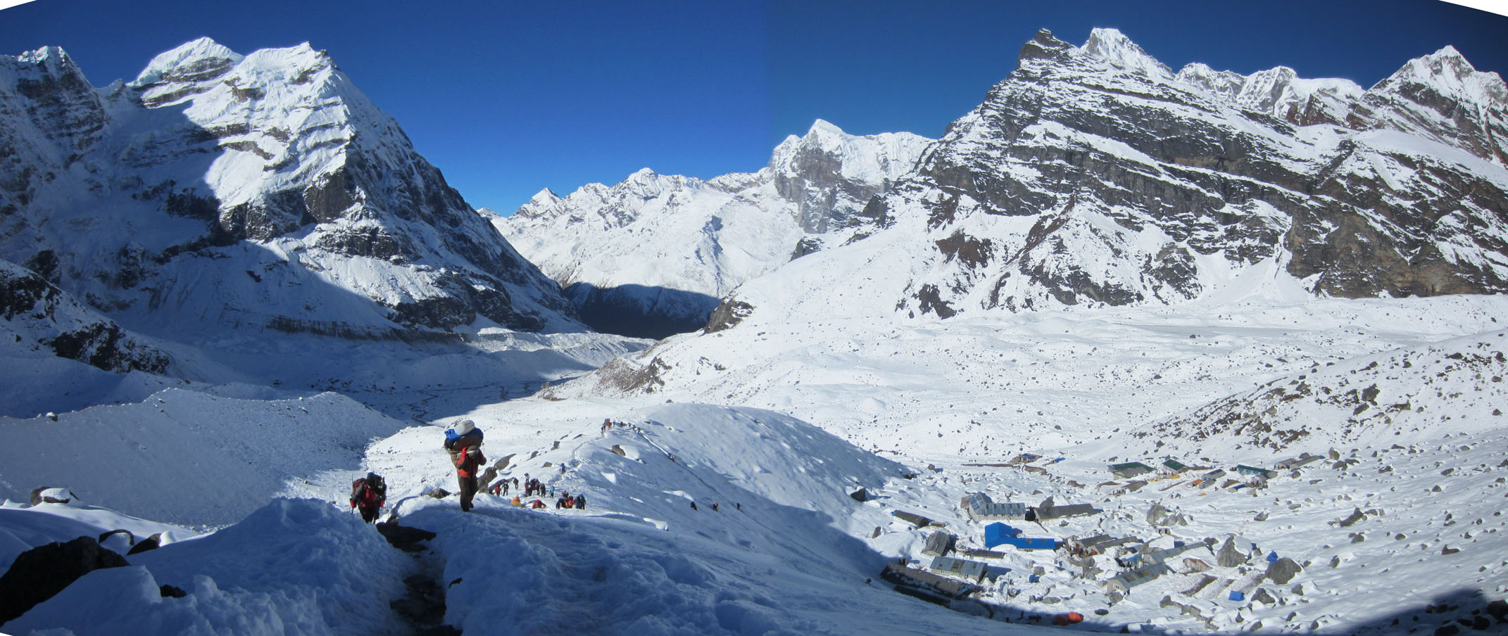
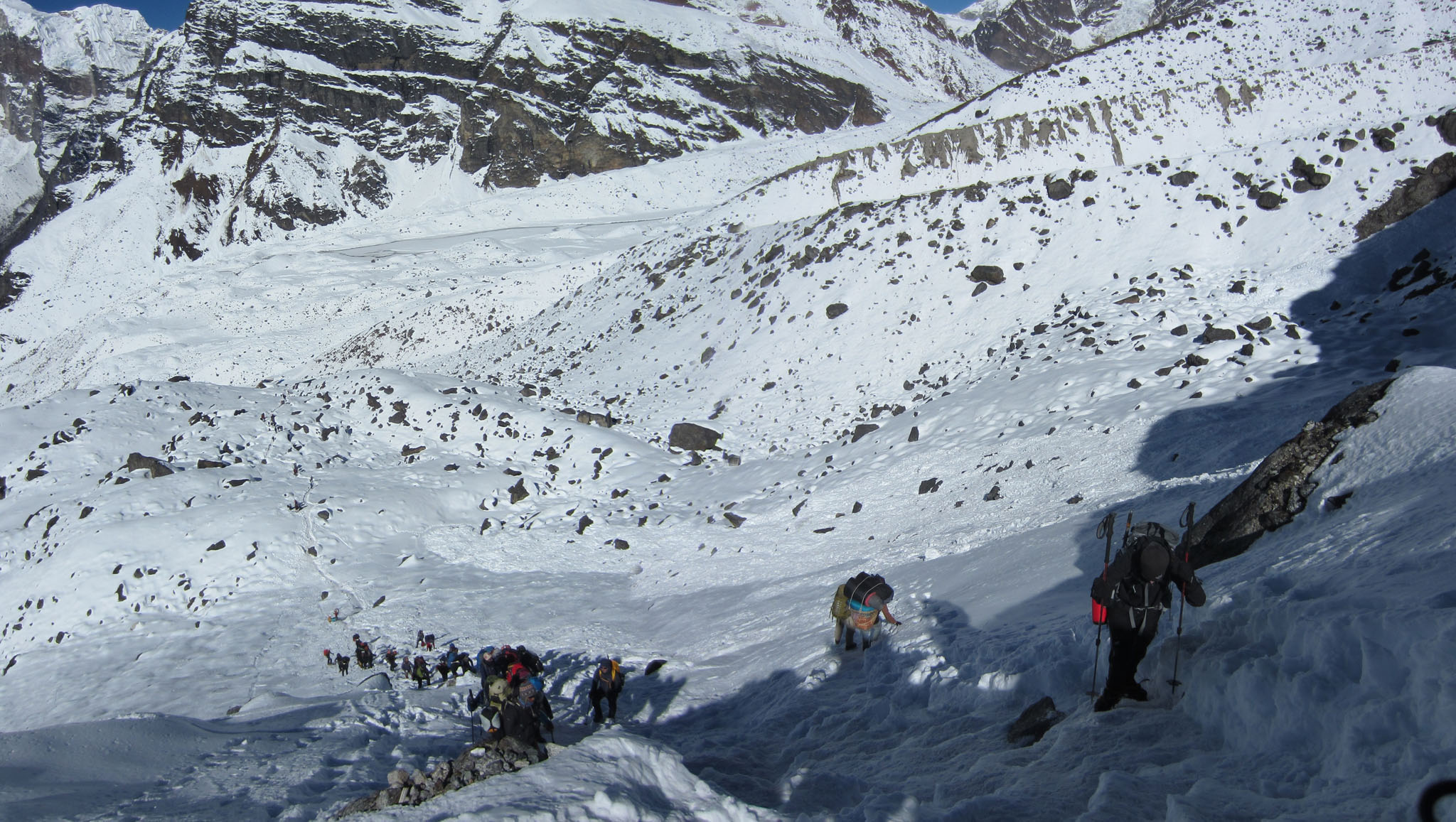
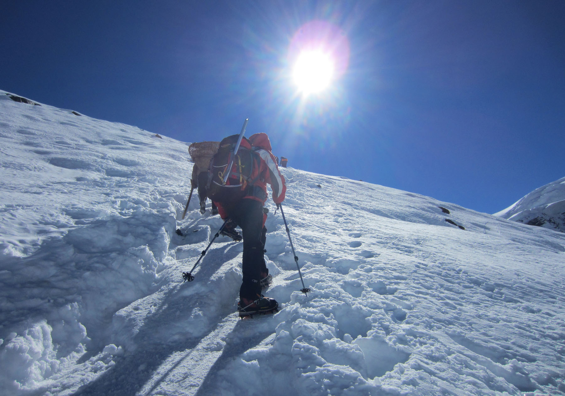
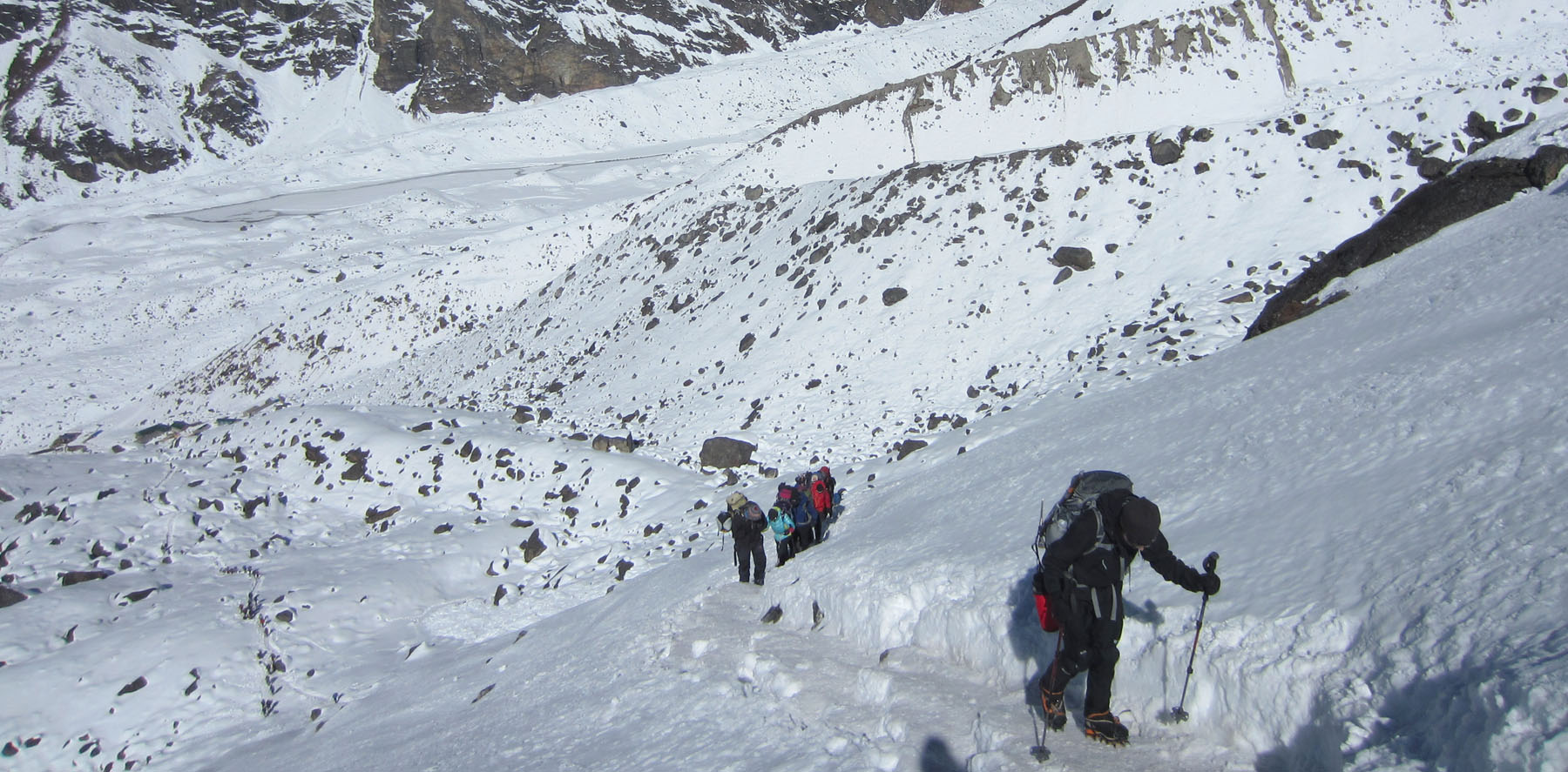
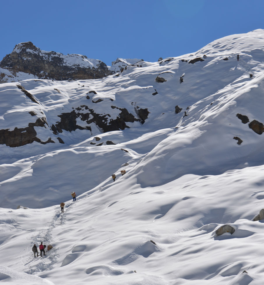
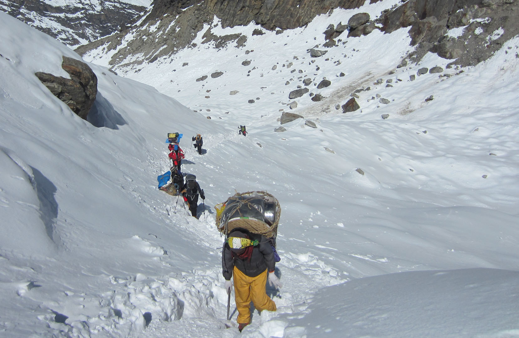
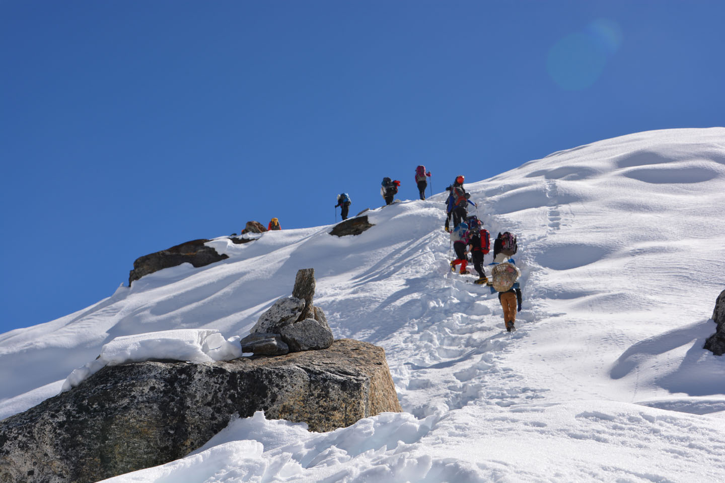
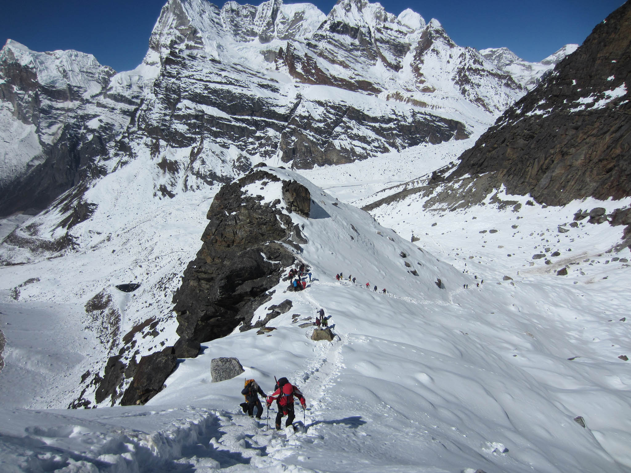
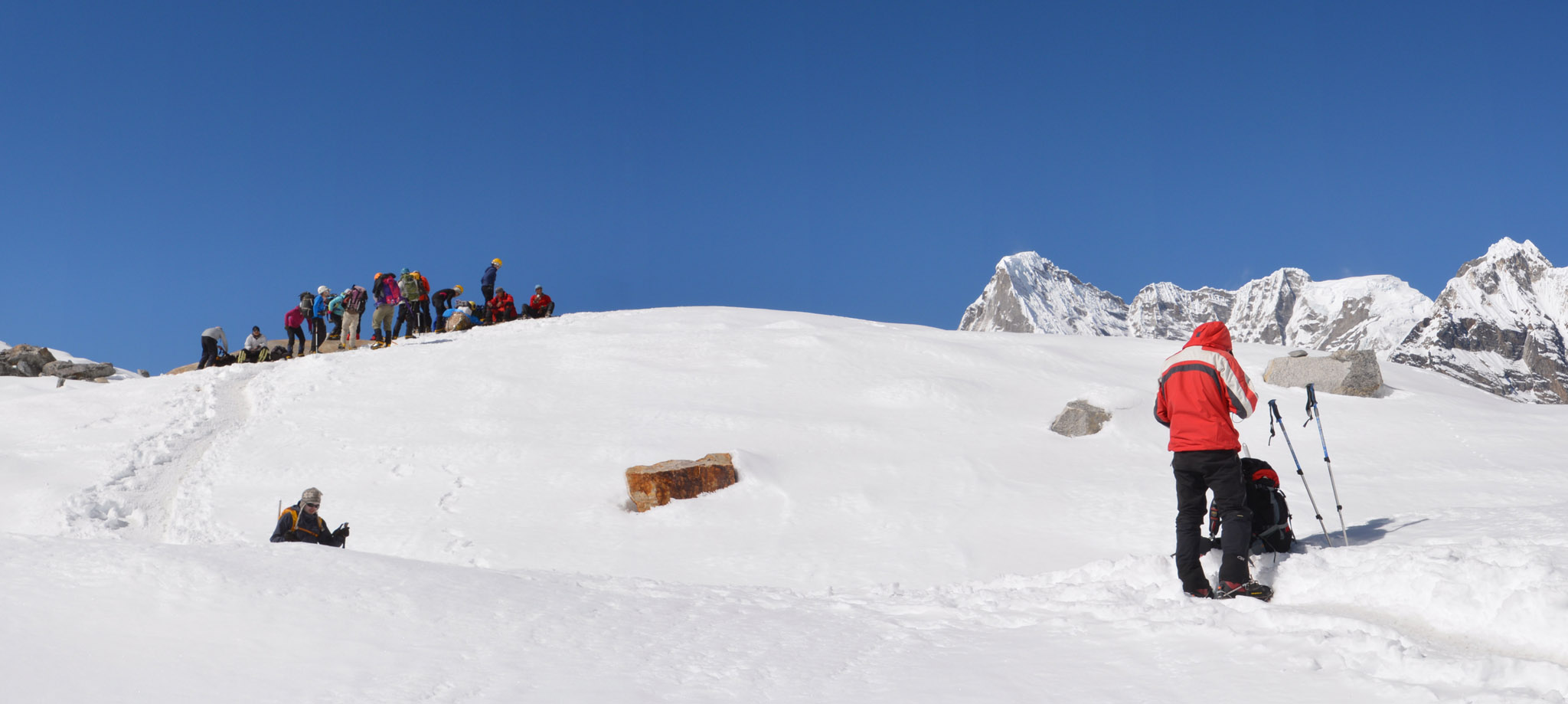
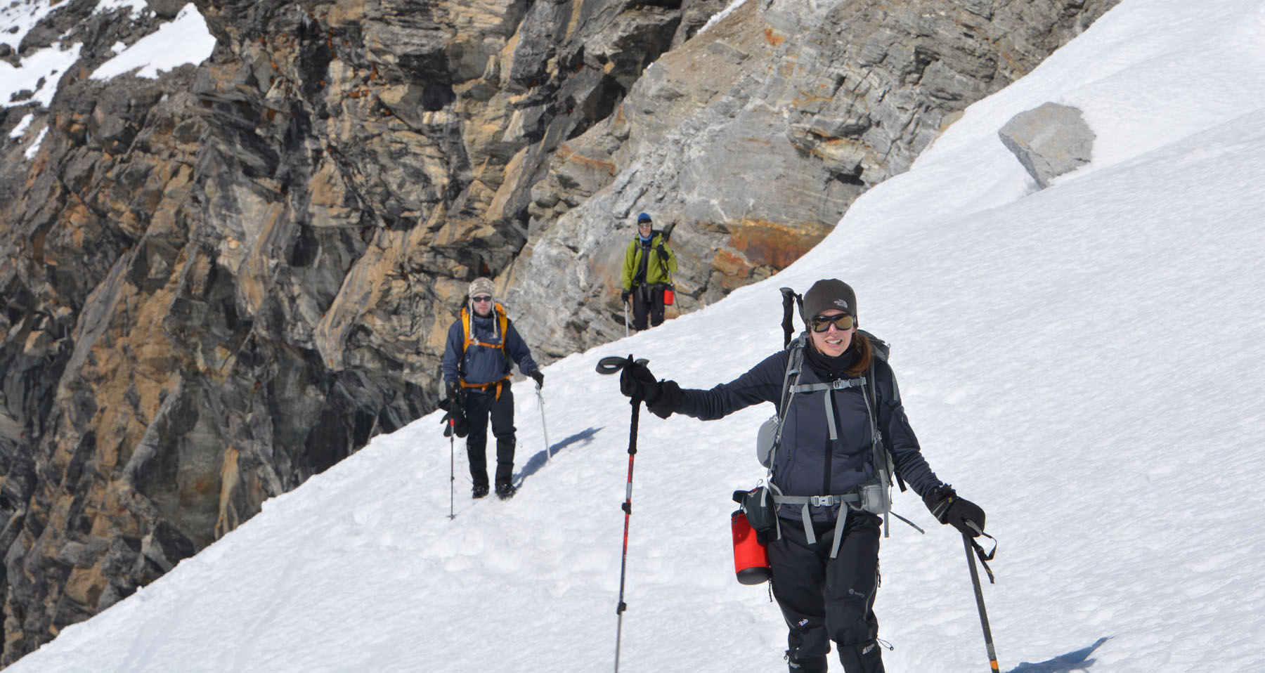
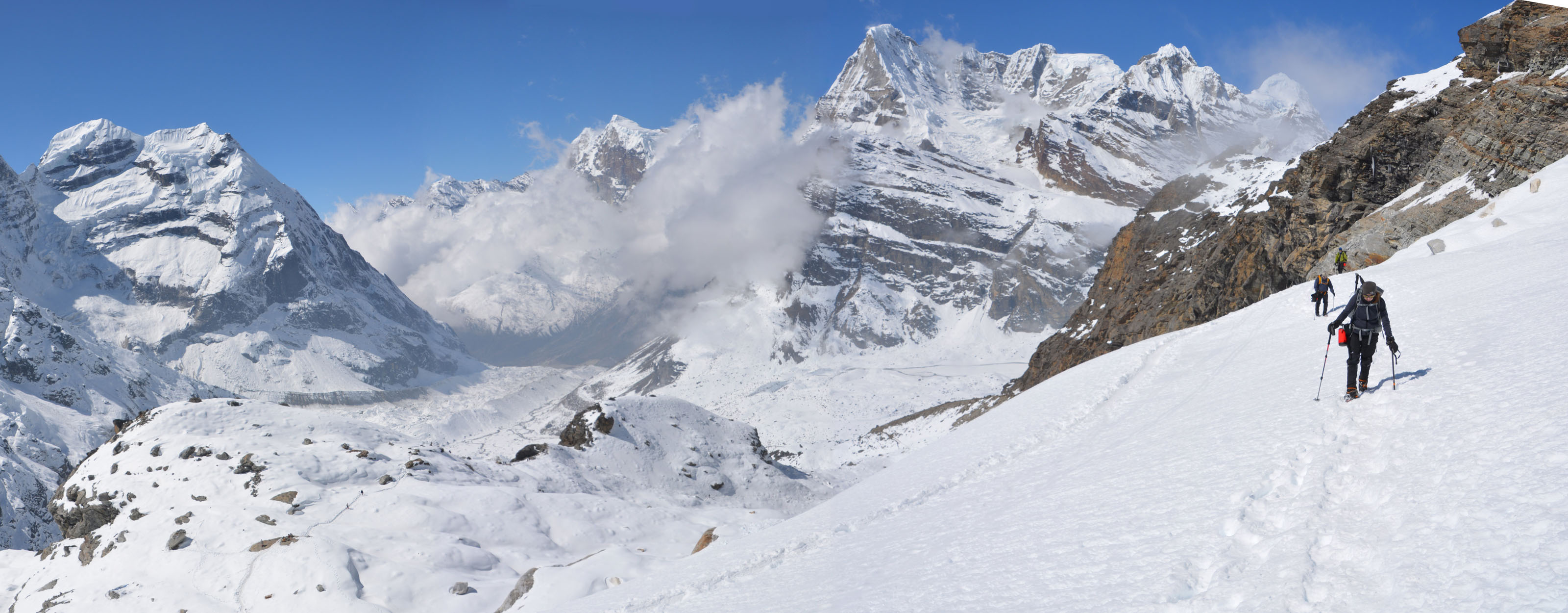
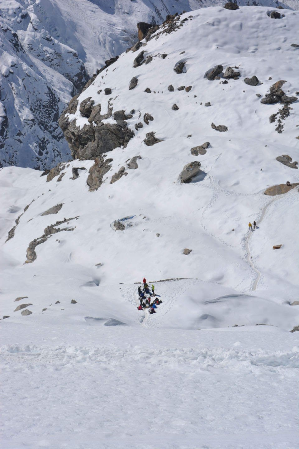
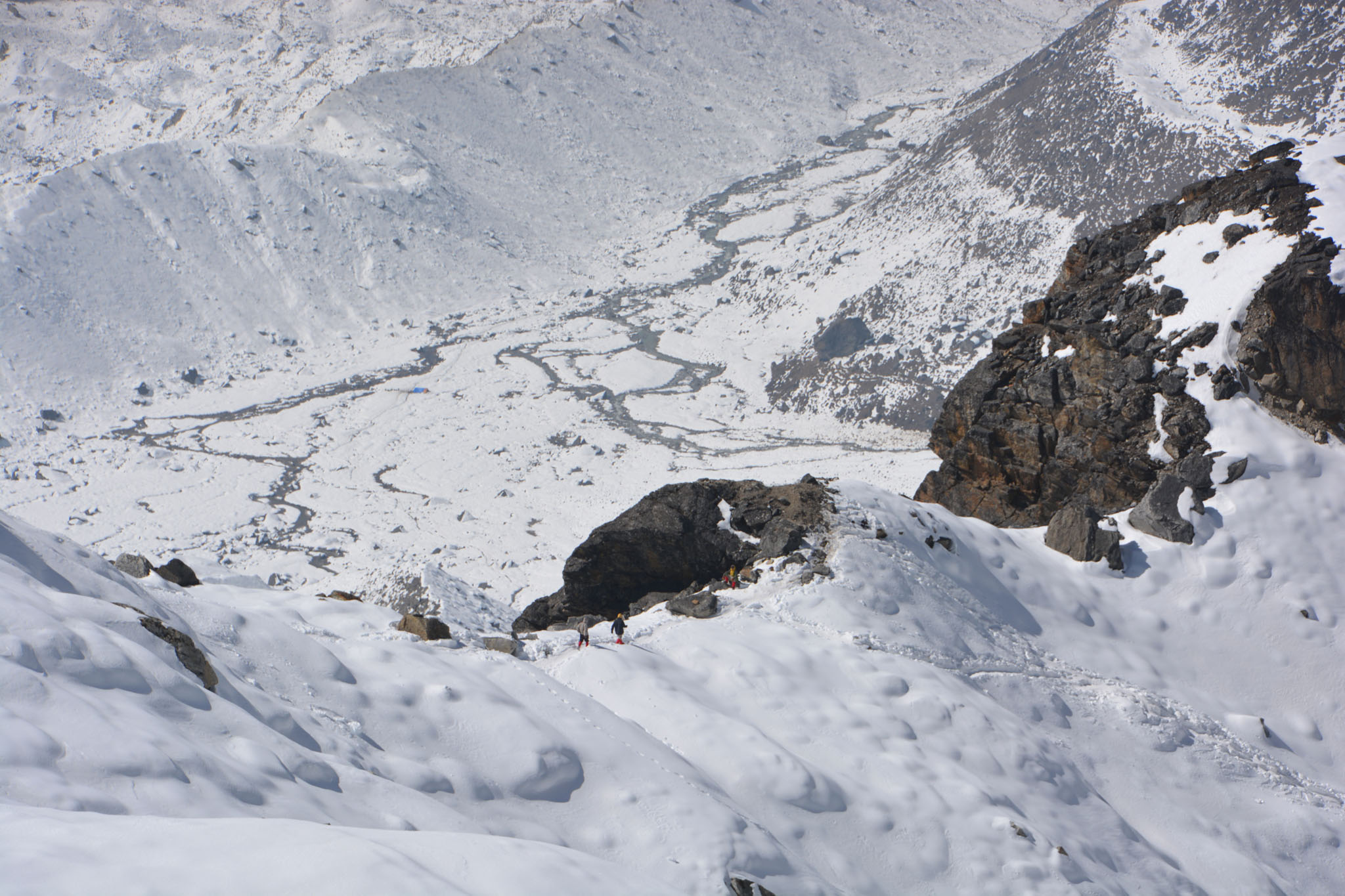
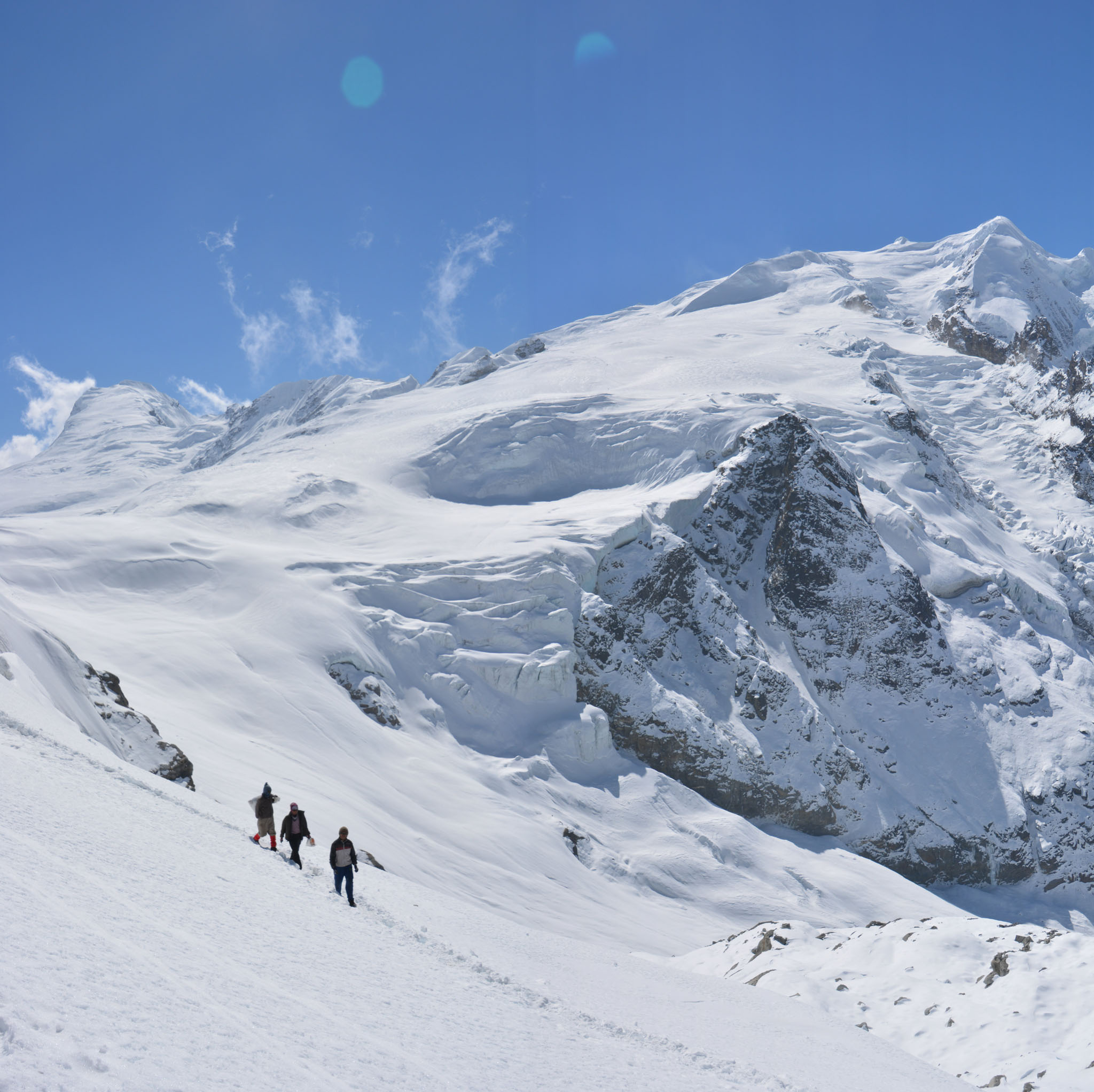
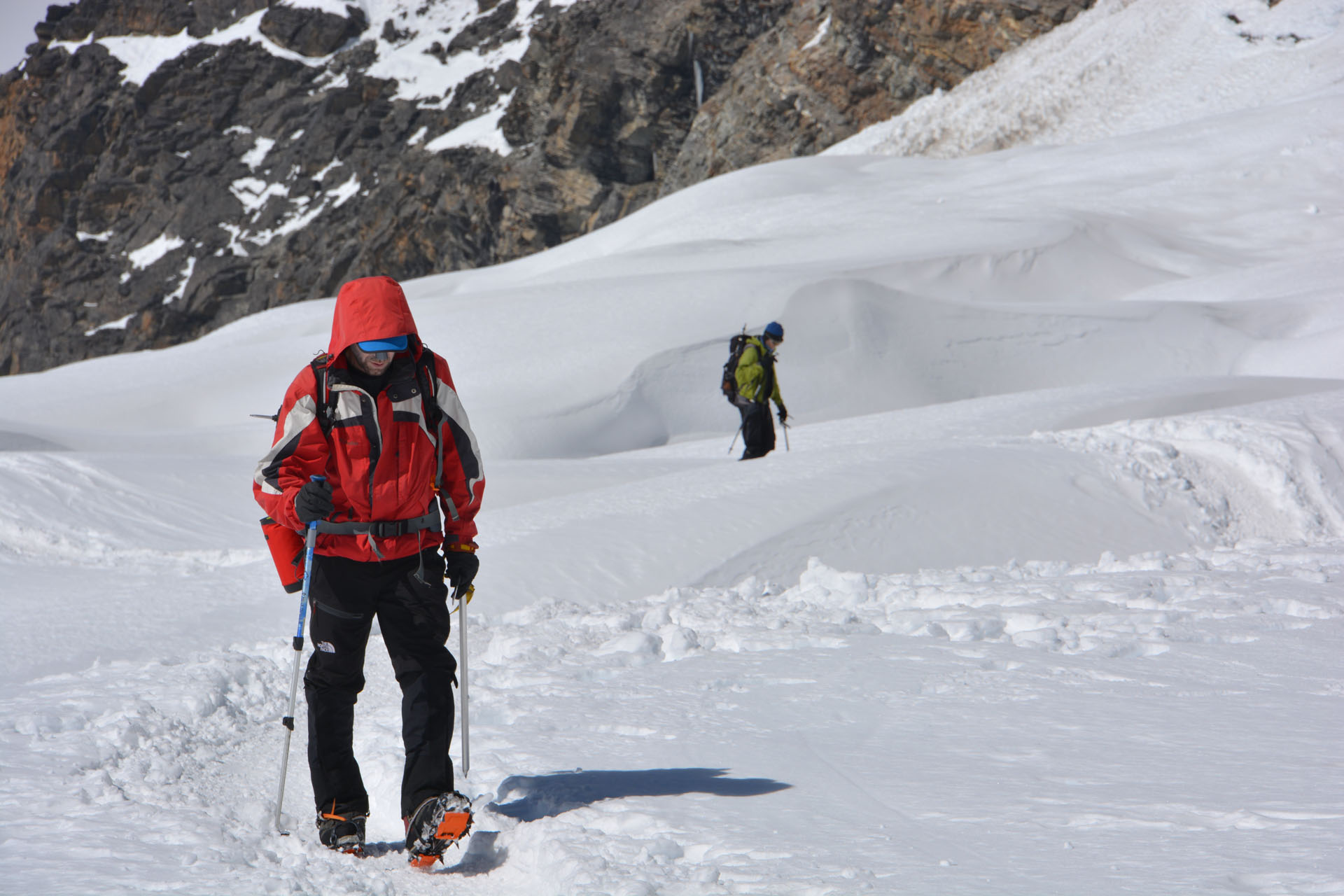
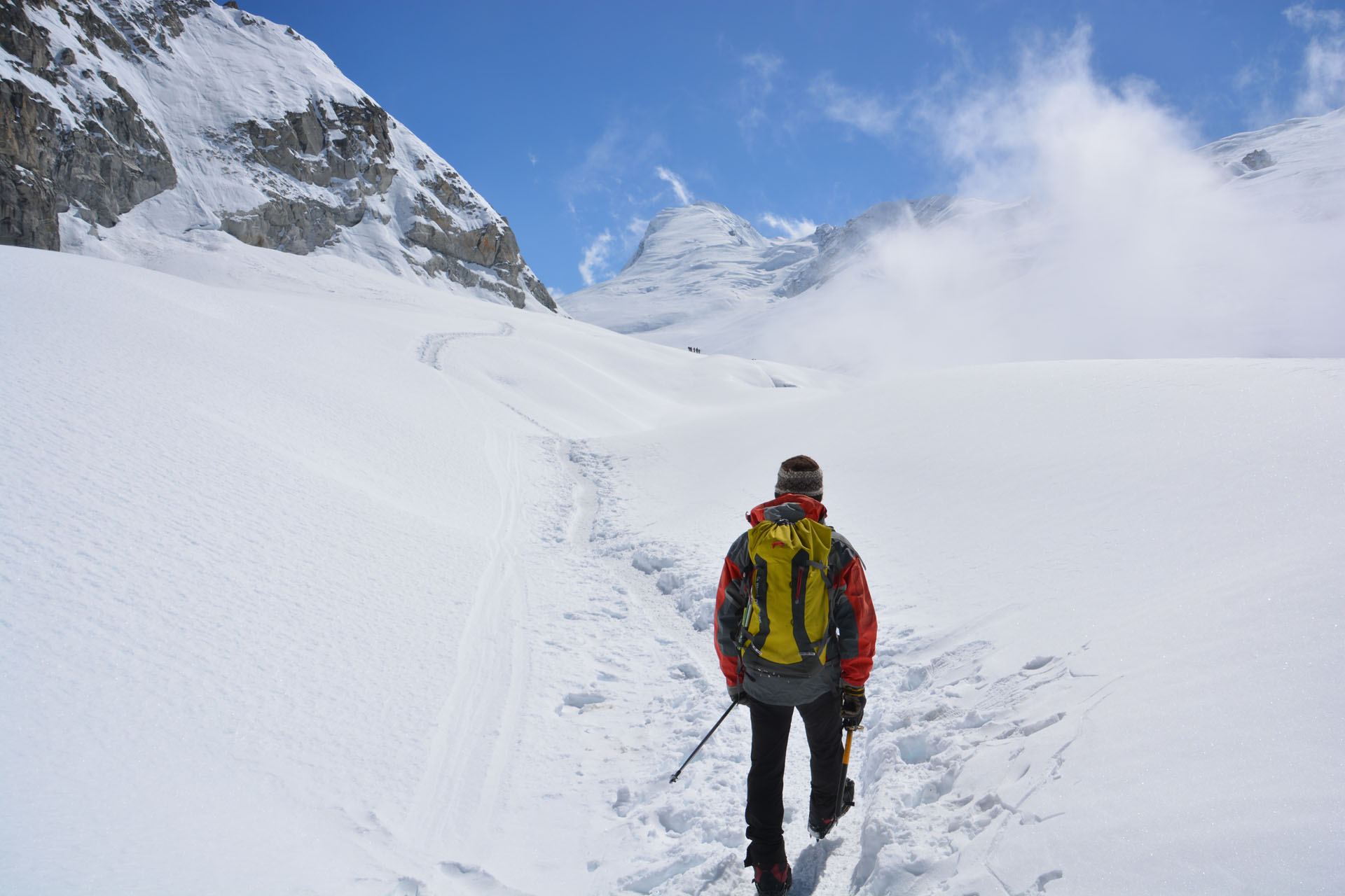
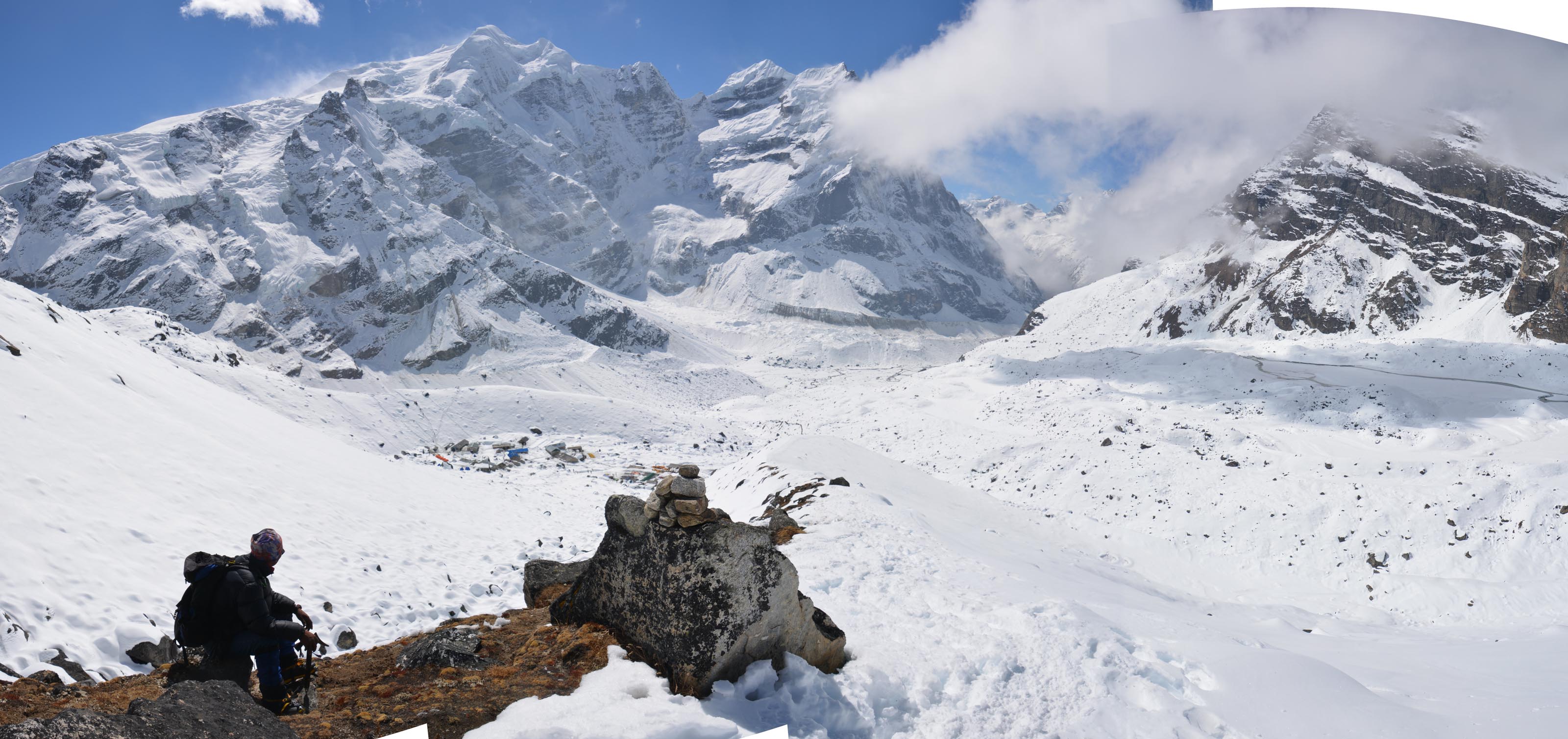
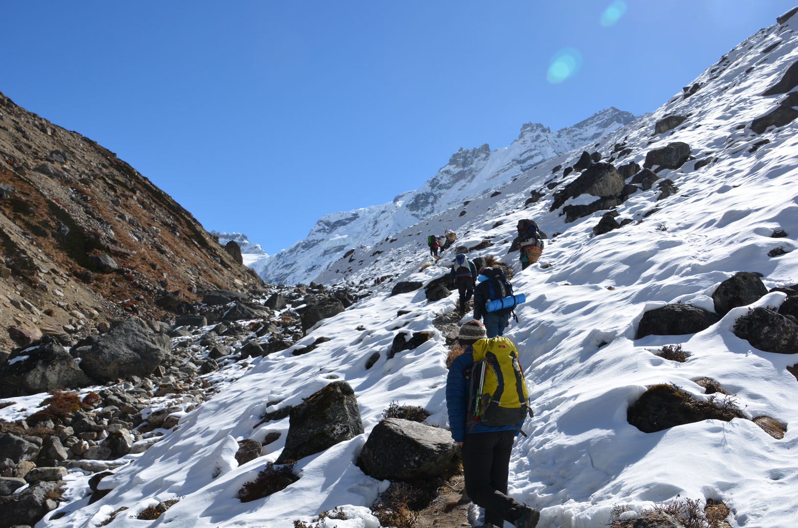
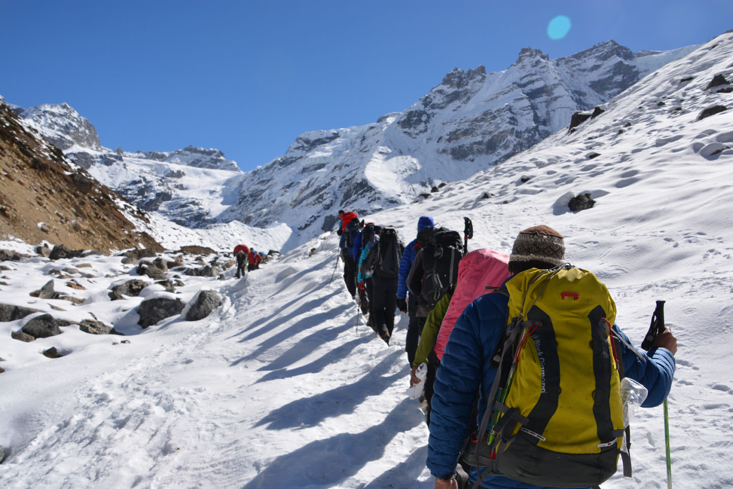
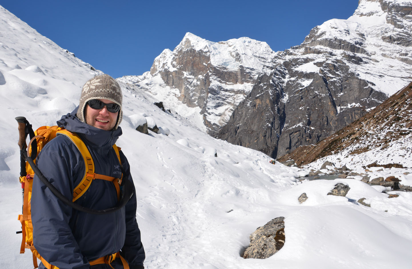
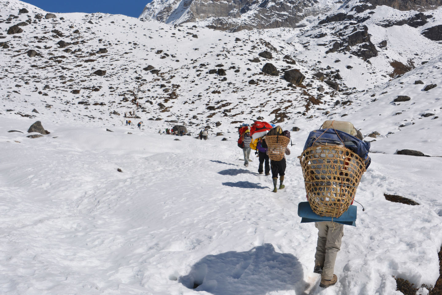
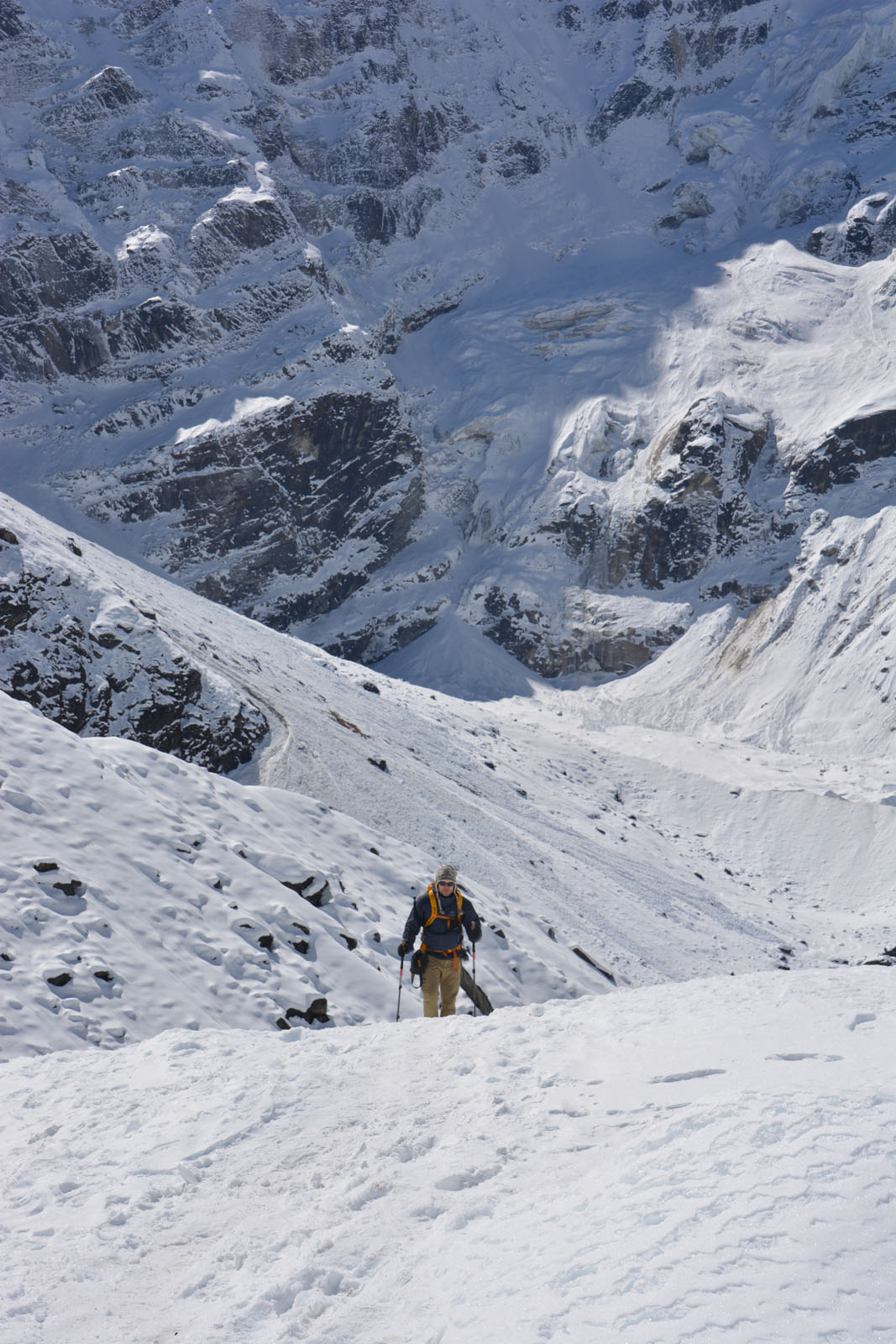
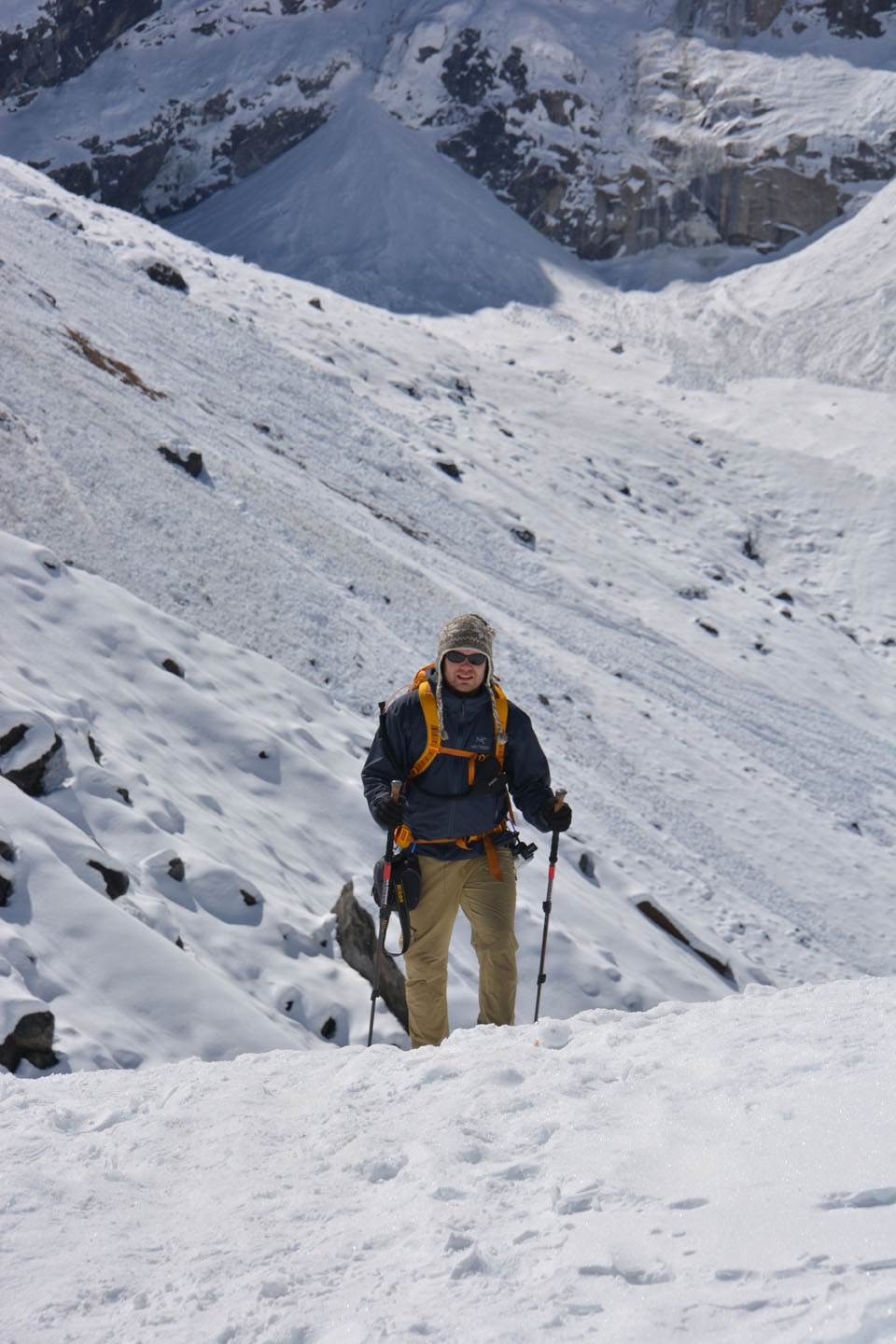
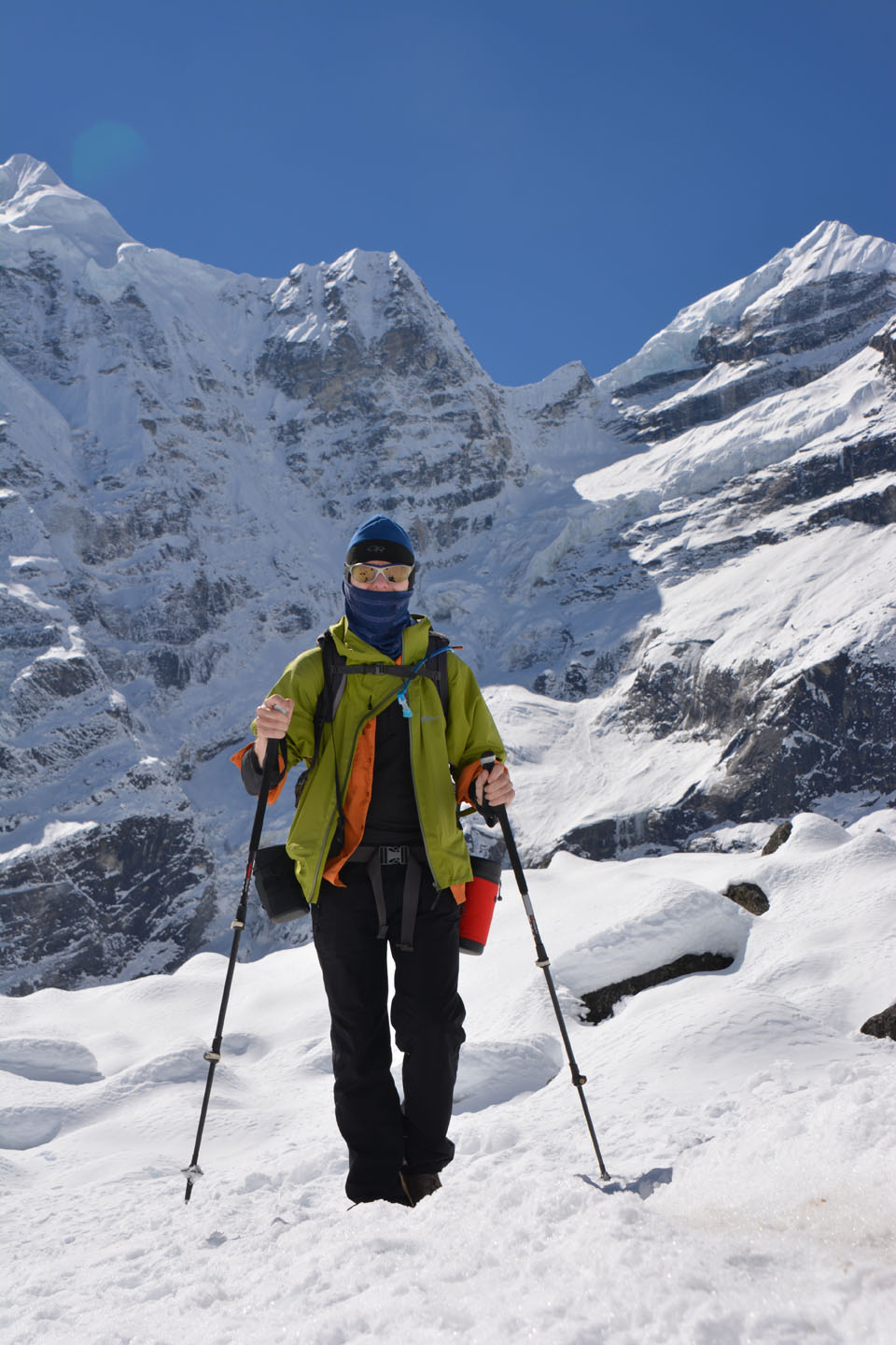
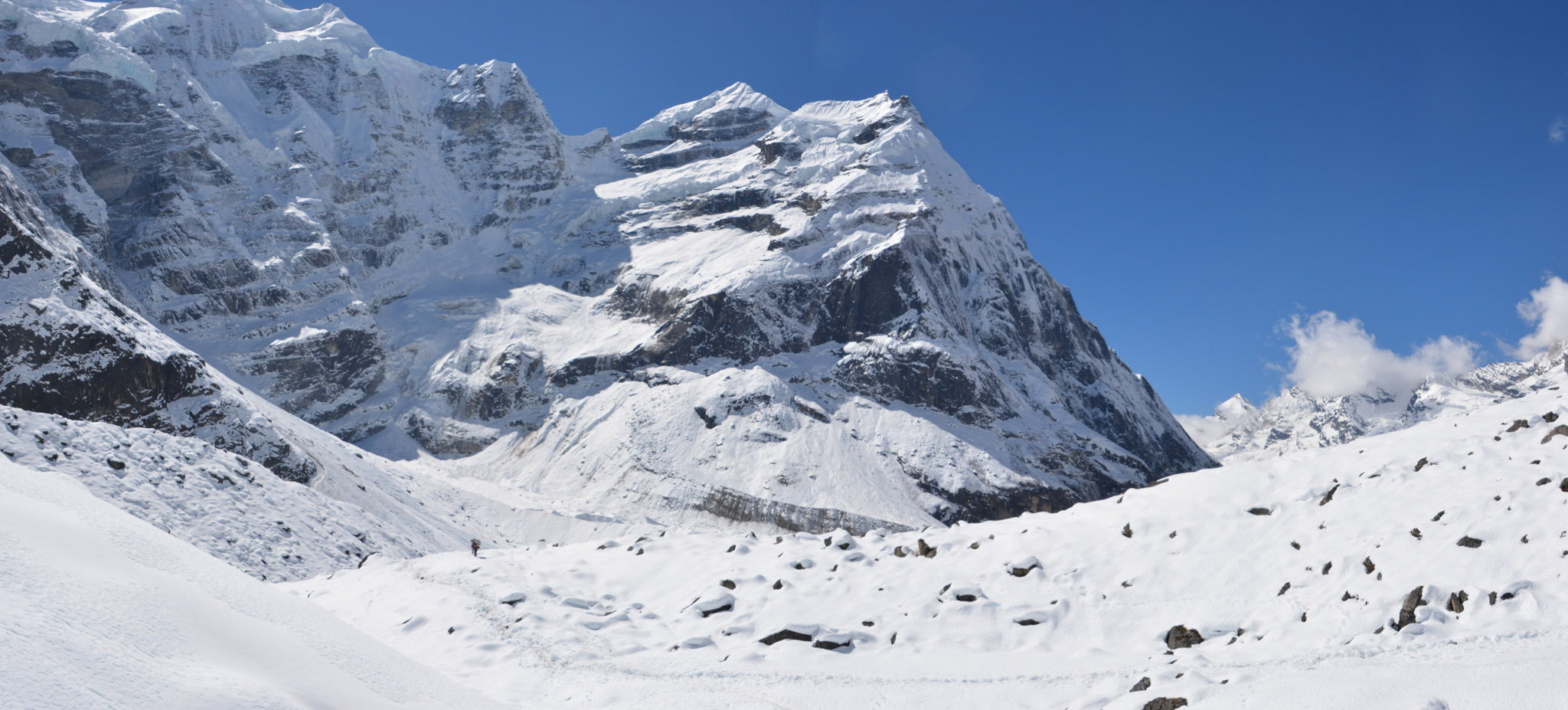
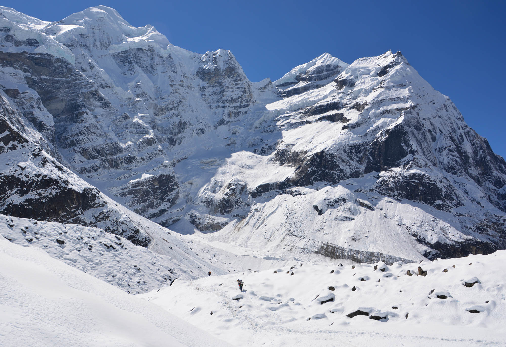
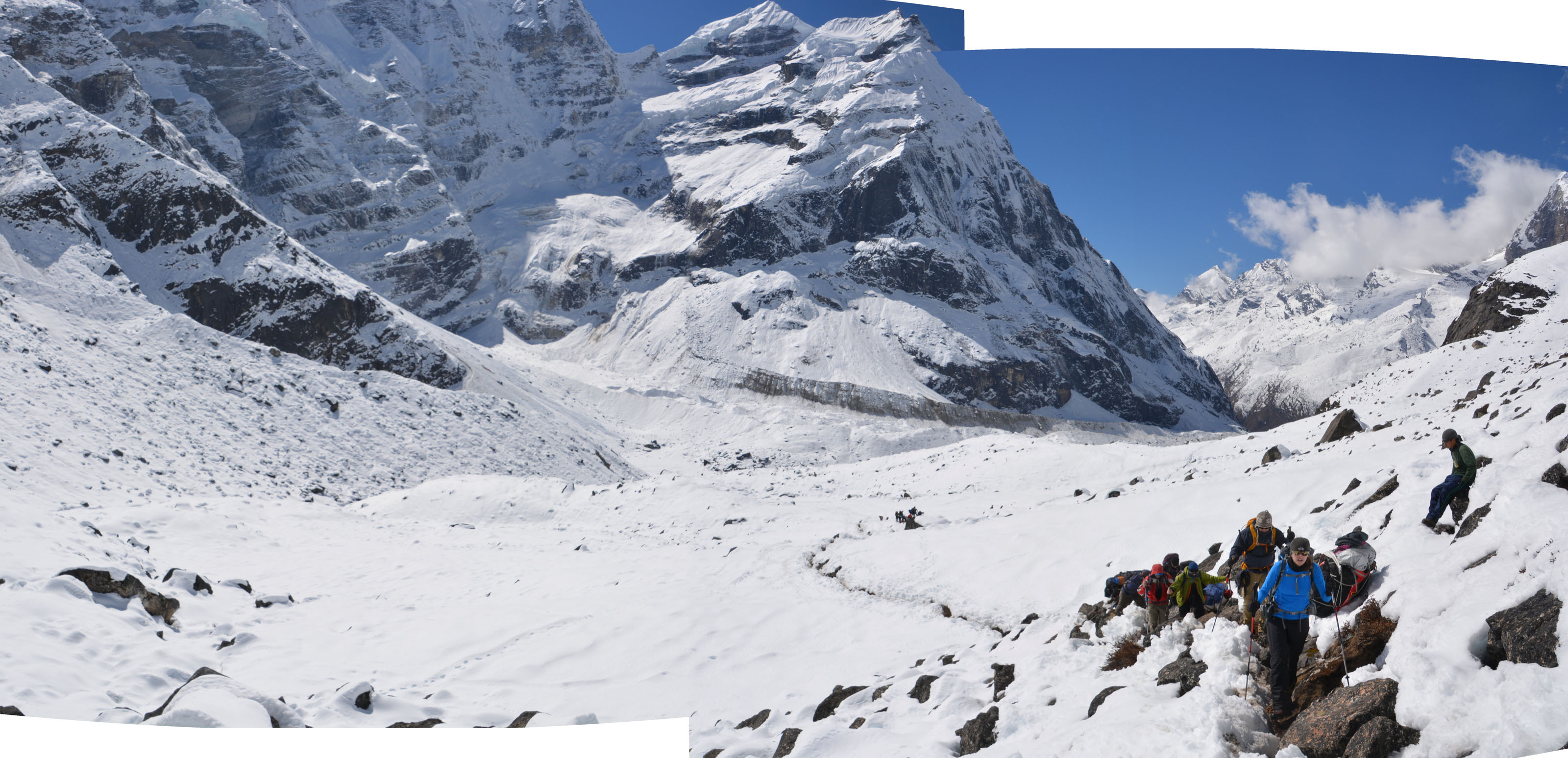
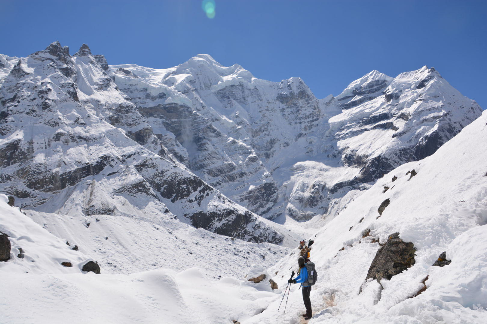
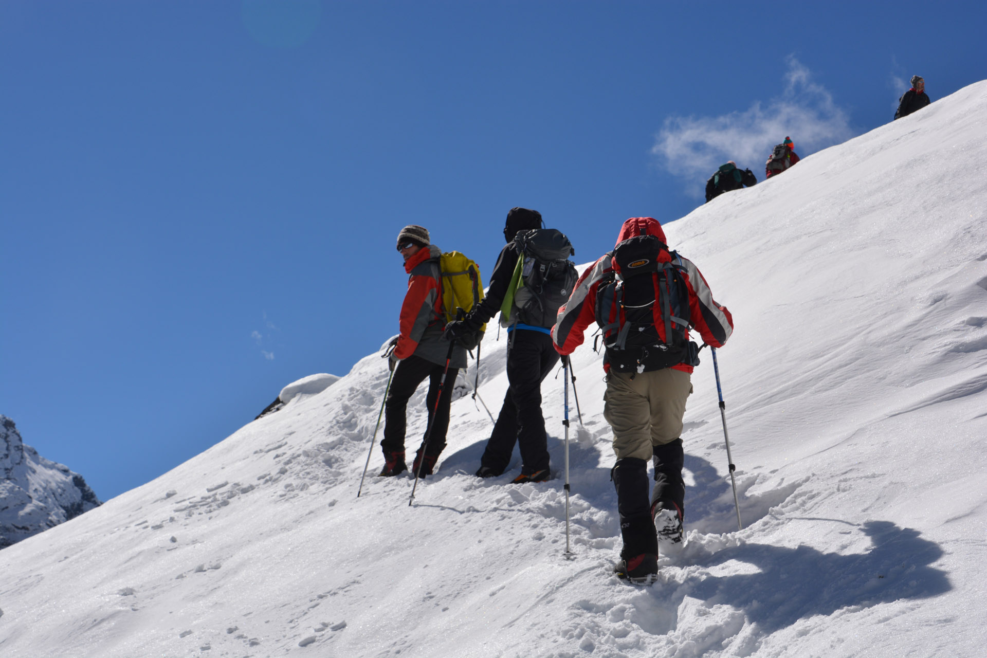
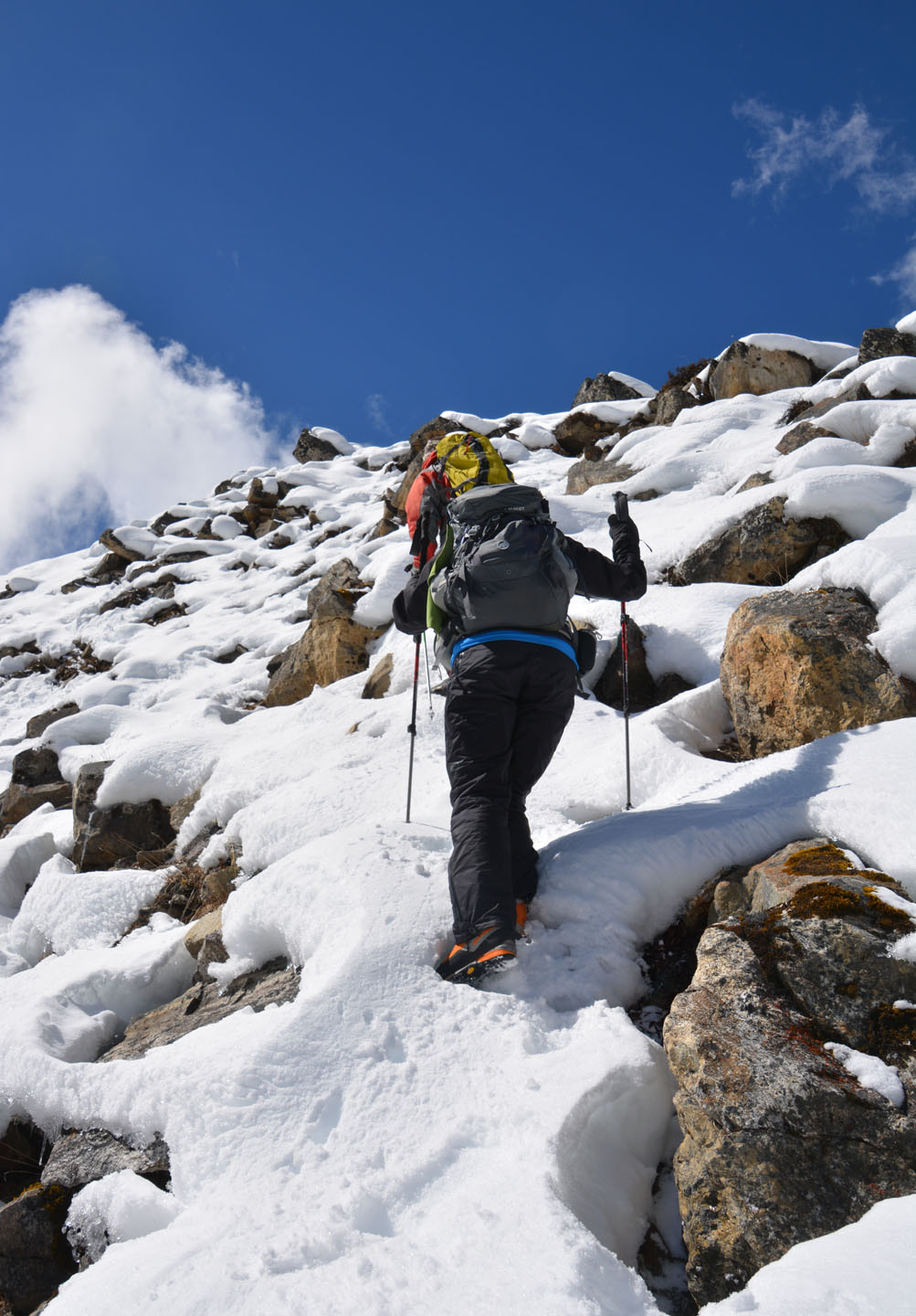
Jour 10. Khare – Mera La – Base Camp
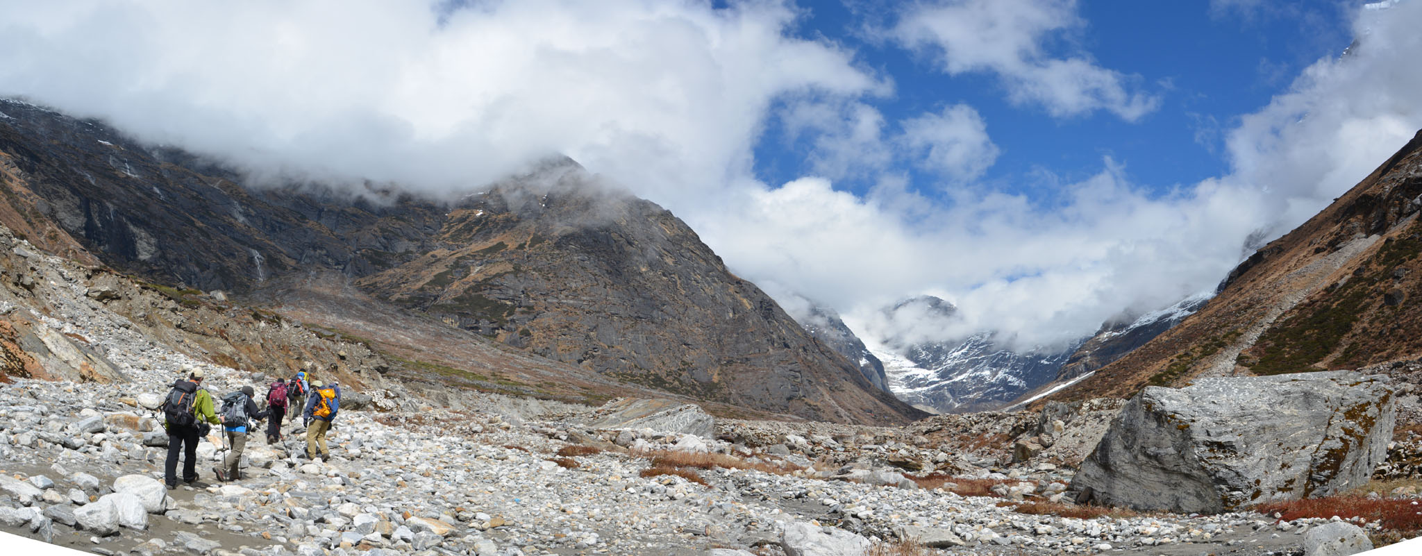
Lever tôt, par un -10C vivifiant. Journée d’ascension assez ardue aujourd’hui. On grimpe plusieurs segments abrupts pour accéder au glacier du Mera, ce qui nous mène à presque 5300m. Les décors sont encore une fois fabuleux, nous sommes vraiment minuscules dans cet environnement. La pente menant au sommet du Mera Peak est maintenant bien en vue. Le camp de base se situe un 5200m. Nous sommes exposés au vent. Ici pas de toilette ou de lieu pour s’abriter pour manger, nous mangeons dans nos tentes.


.")


, que nous rejoindrons demain.")

")


.")


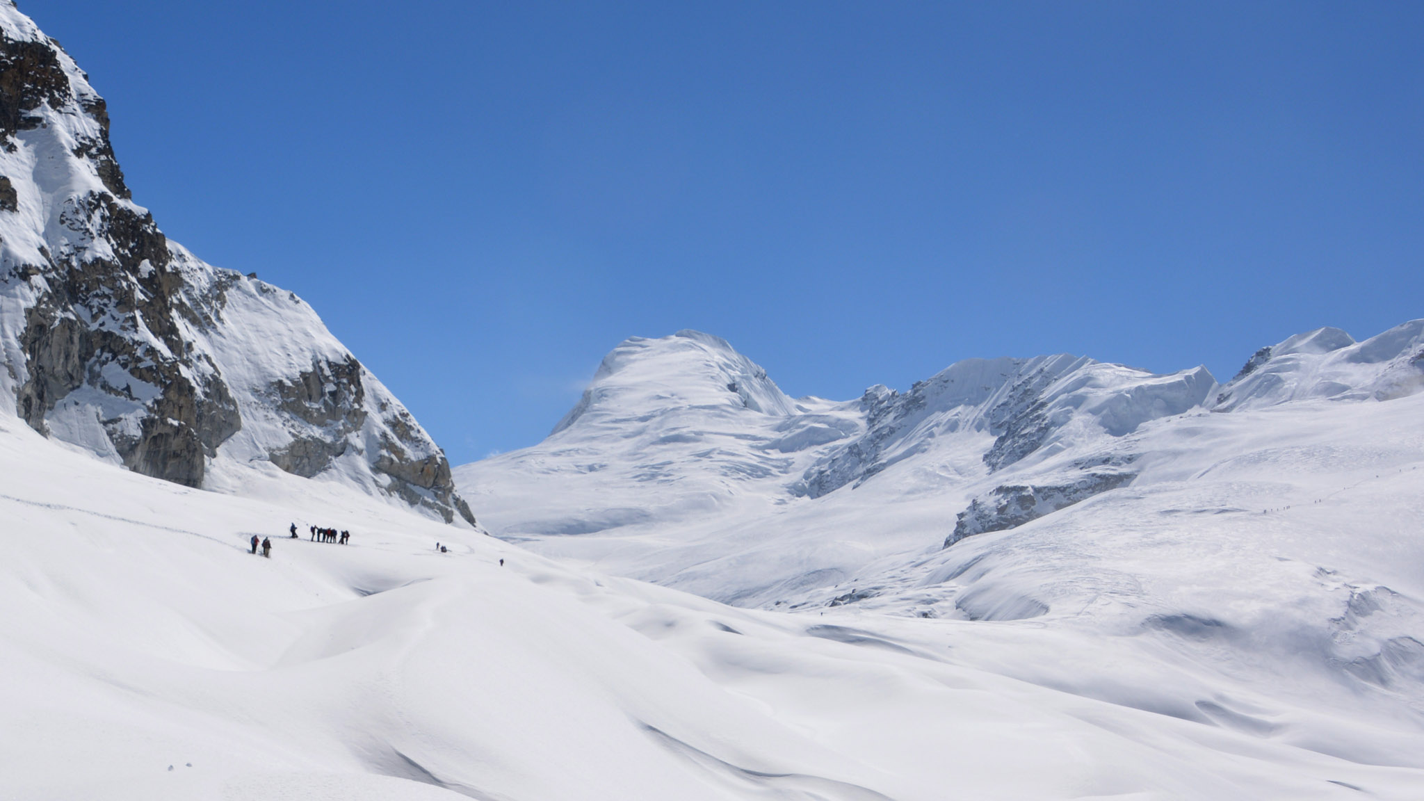
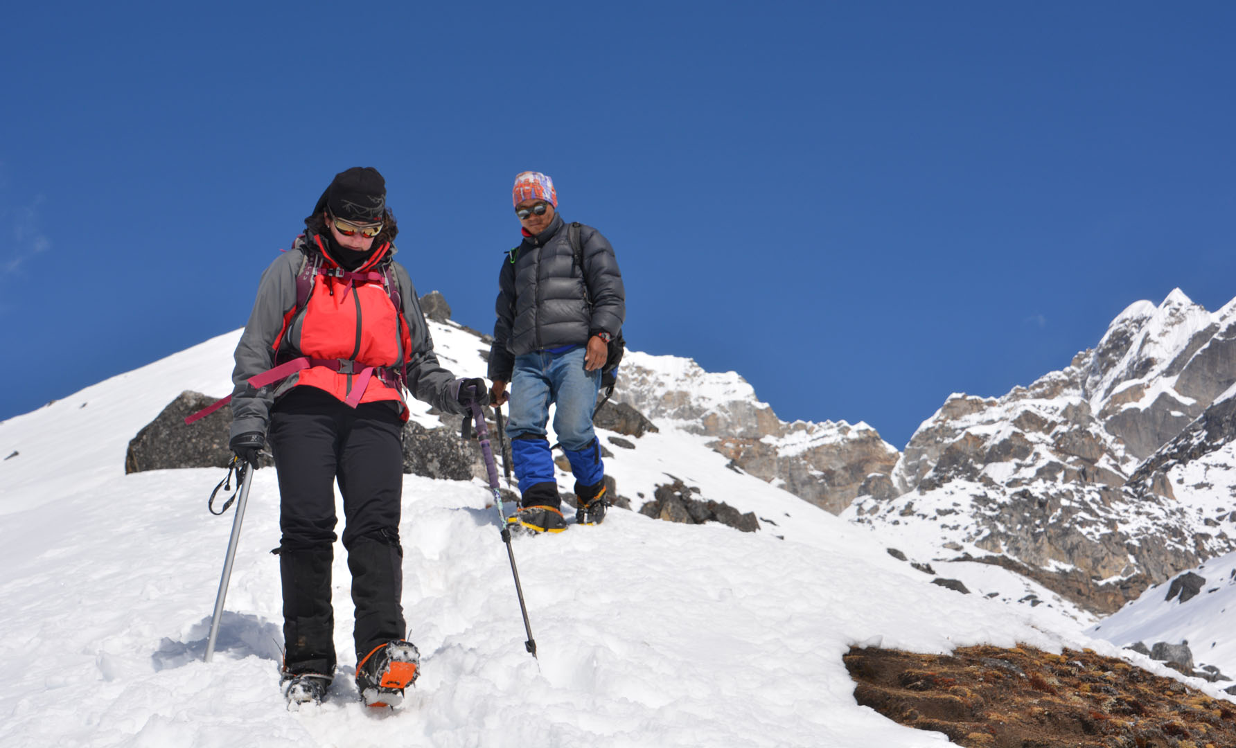
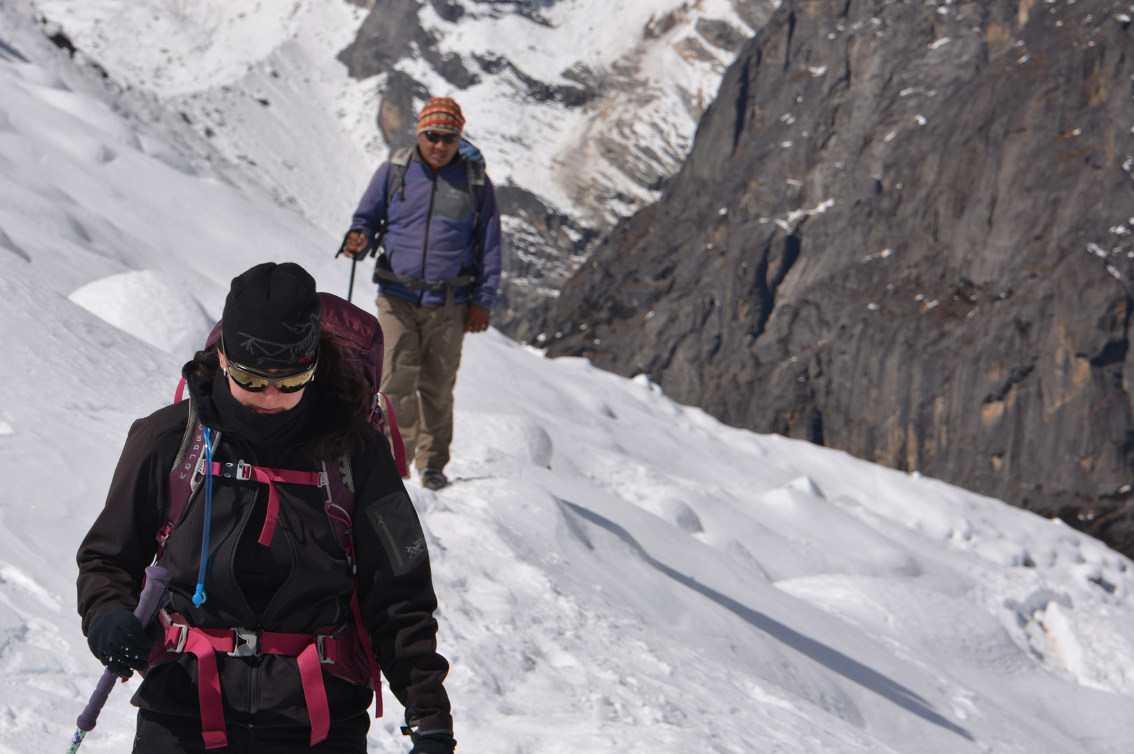
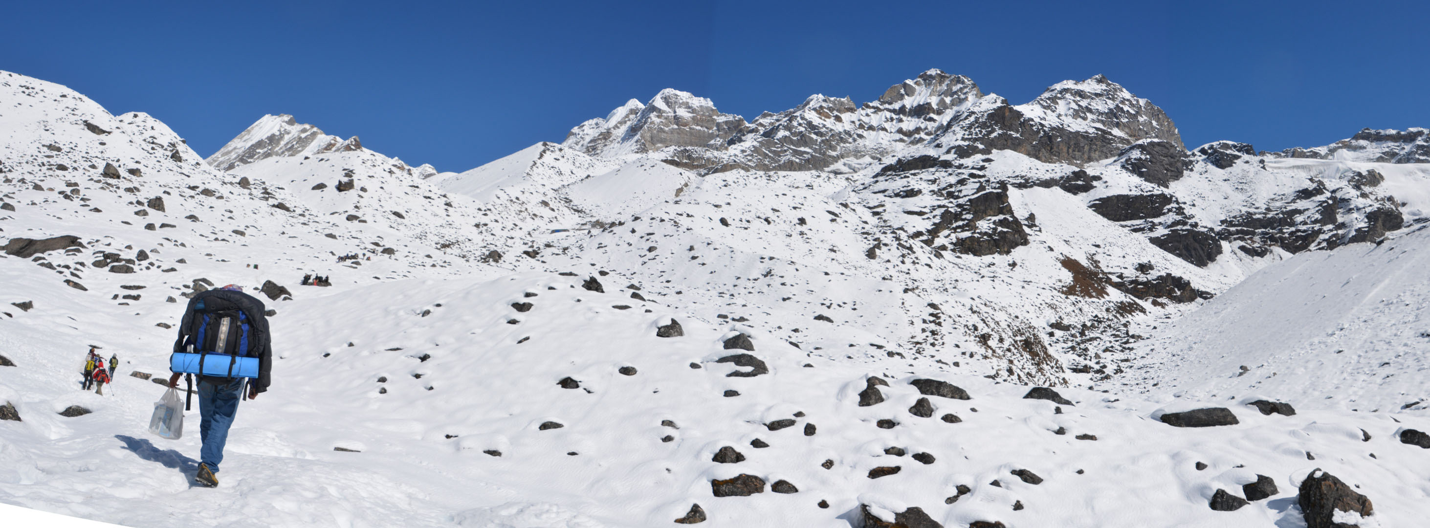
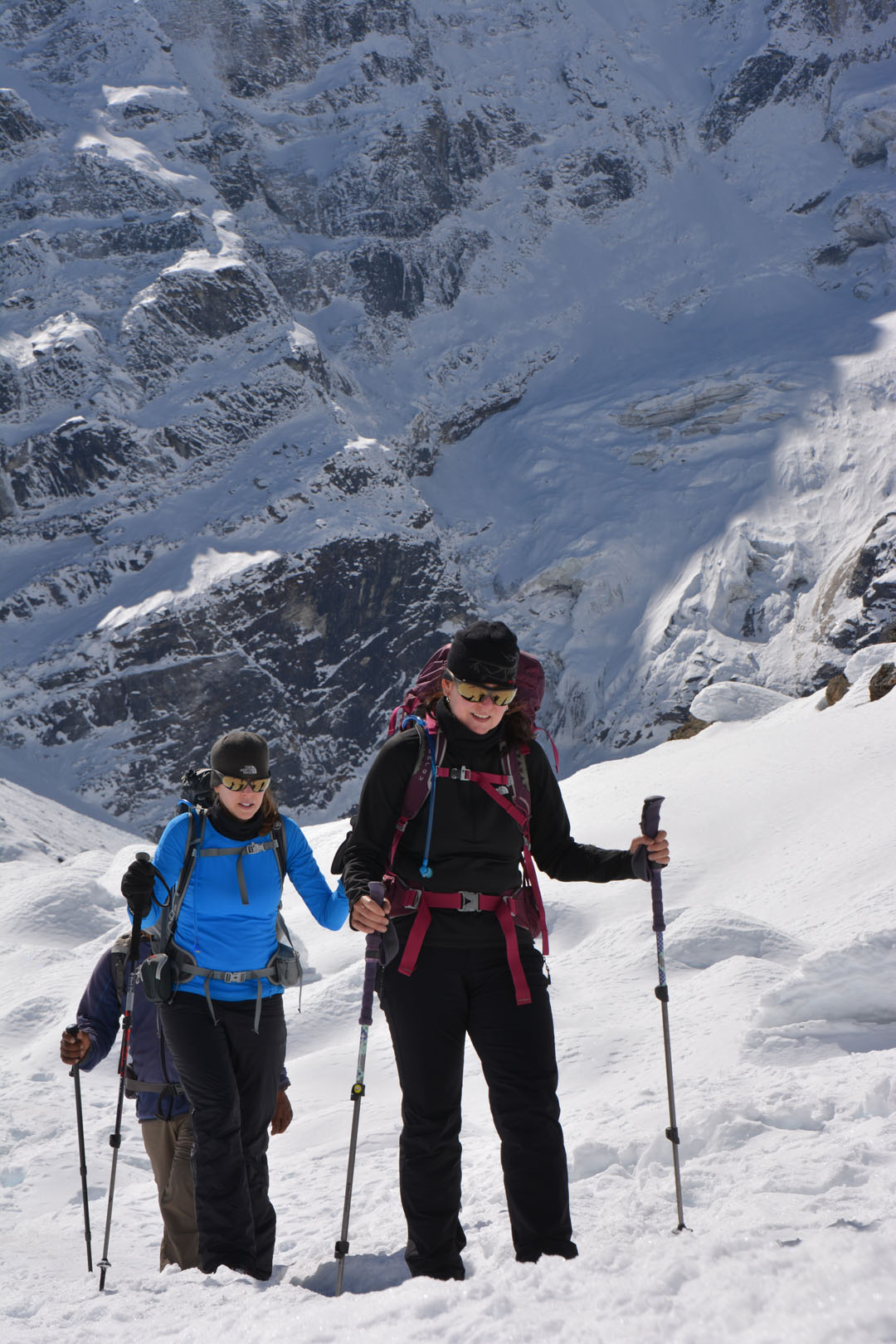
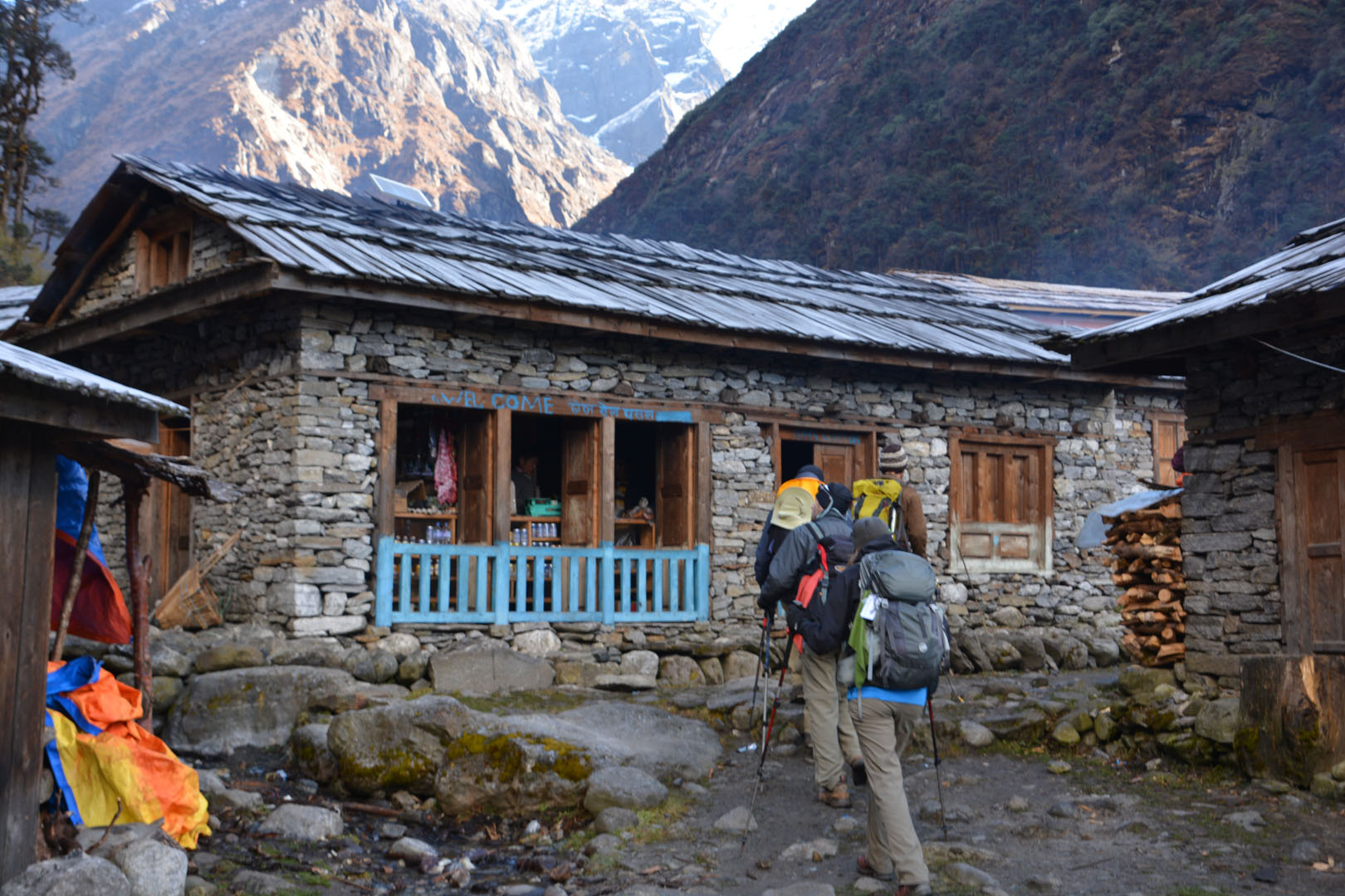
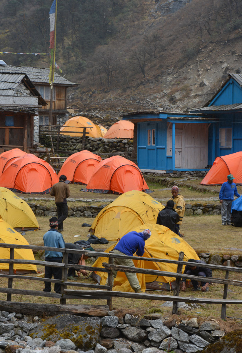
Jour 9. Khare – Acclimatation
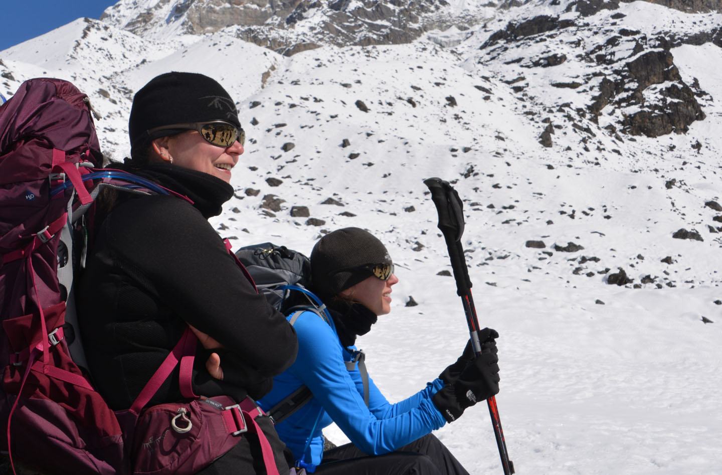
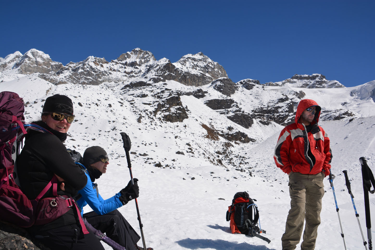
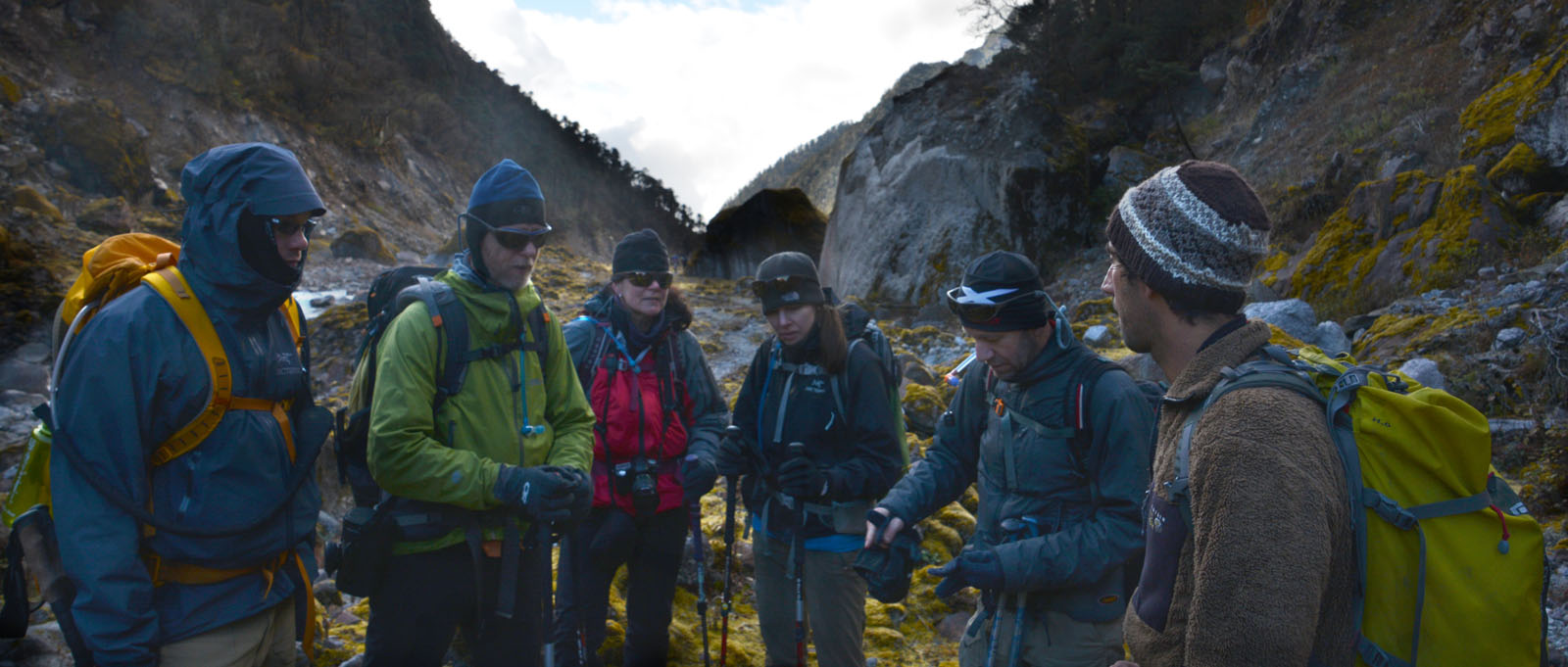
Un seconde journée d’acclimatation à l’altitude et pour tester notre équipement. Cette fois nous sortons nos crampons pour une petite grimpette de 500m au-dessus de Khare. Puis en après-midi nous testons notre harnais, l’ascension sur corde et la descente en rappel. On doit également réduire notre bagage, à partir d’ici, un seul ‘duffle bag’ pour deux personnes.


.")


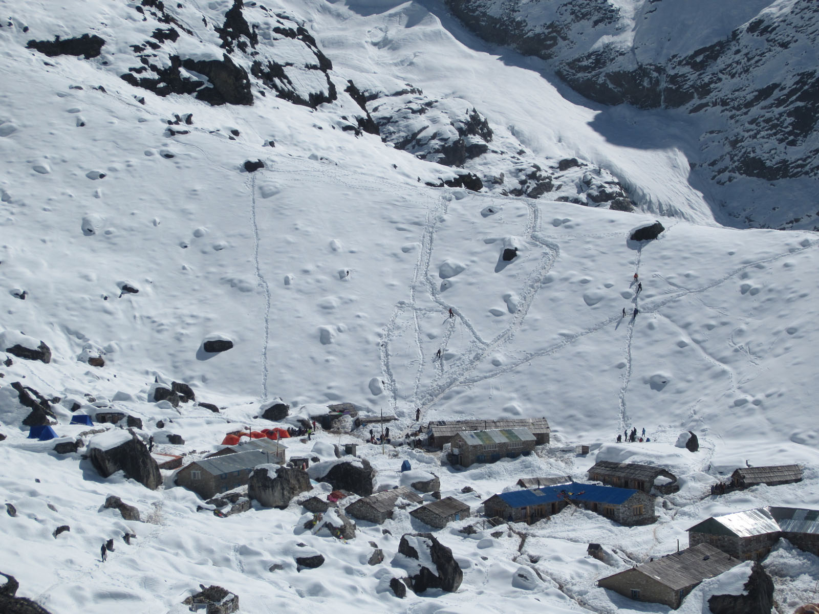


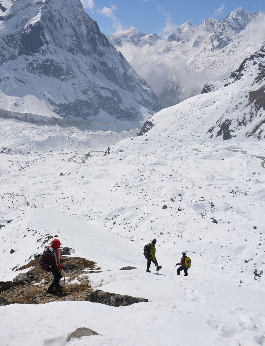


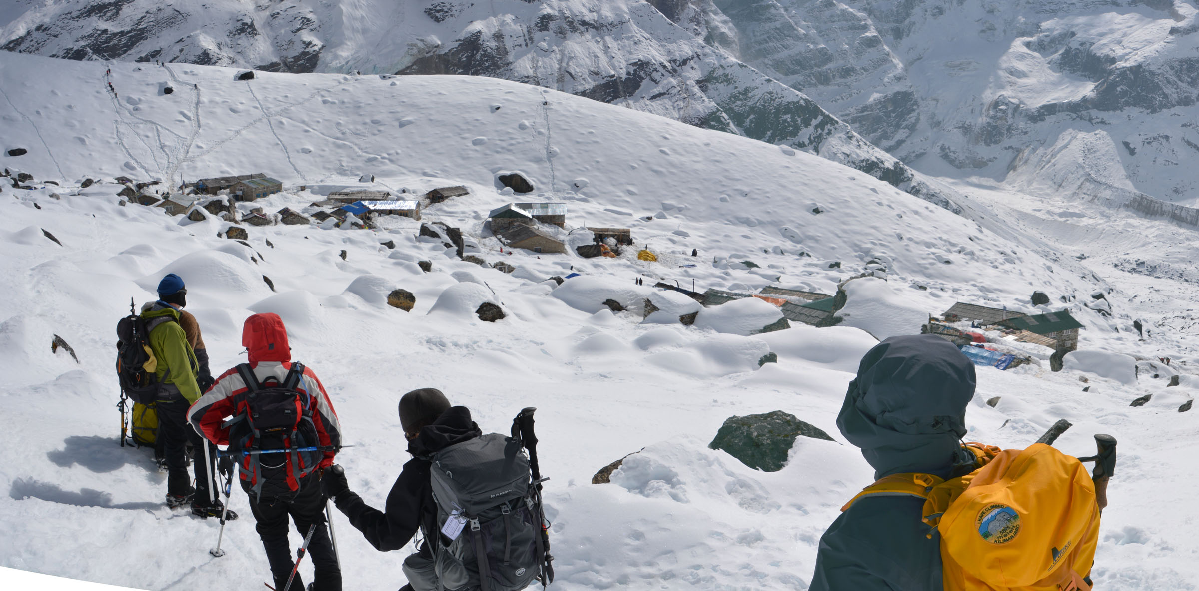
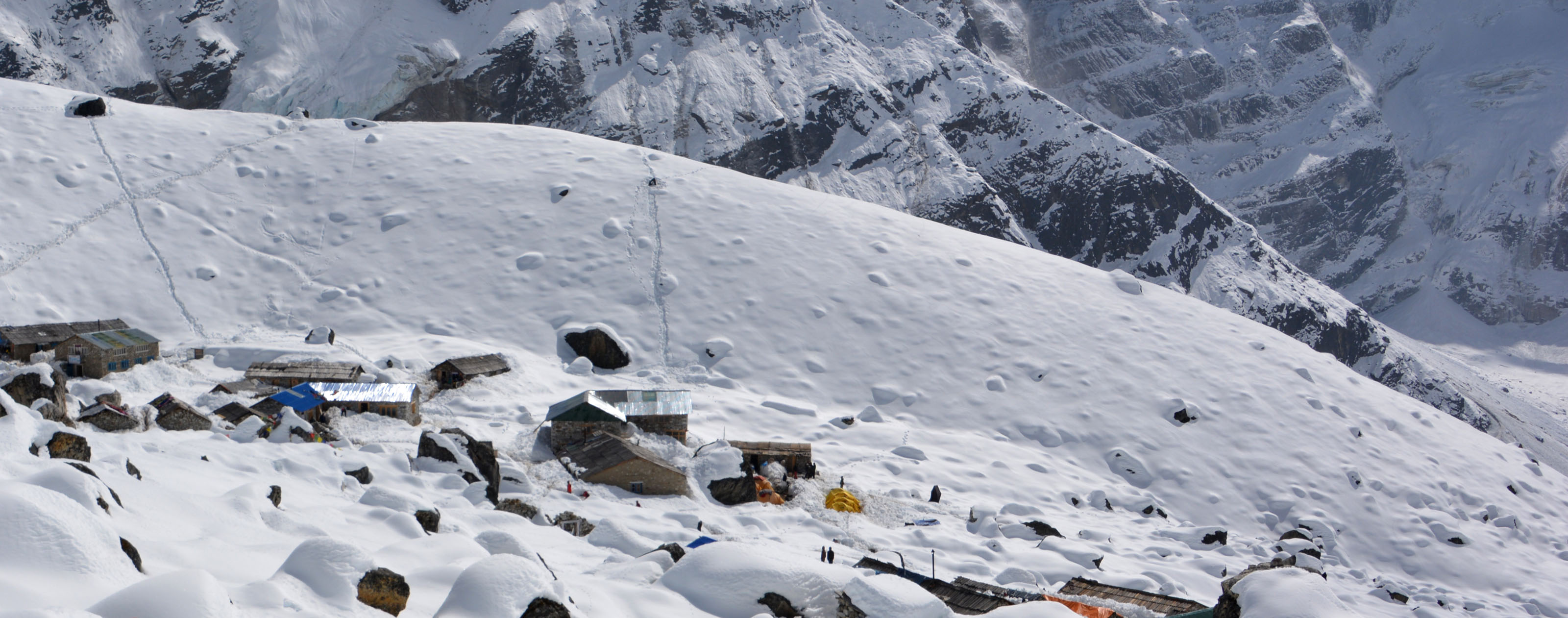
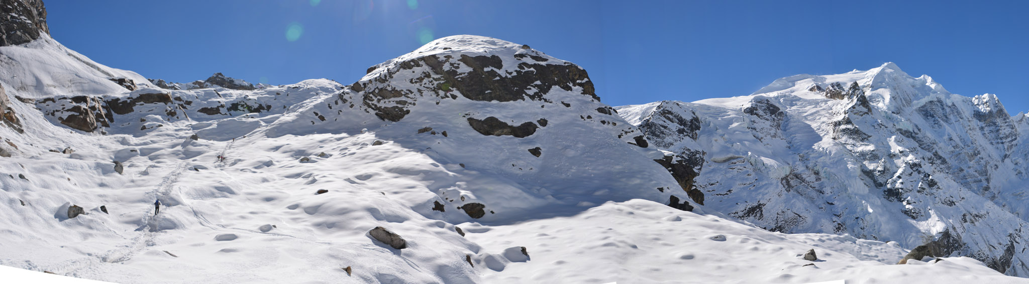
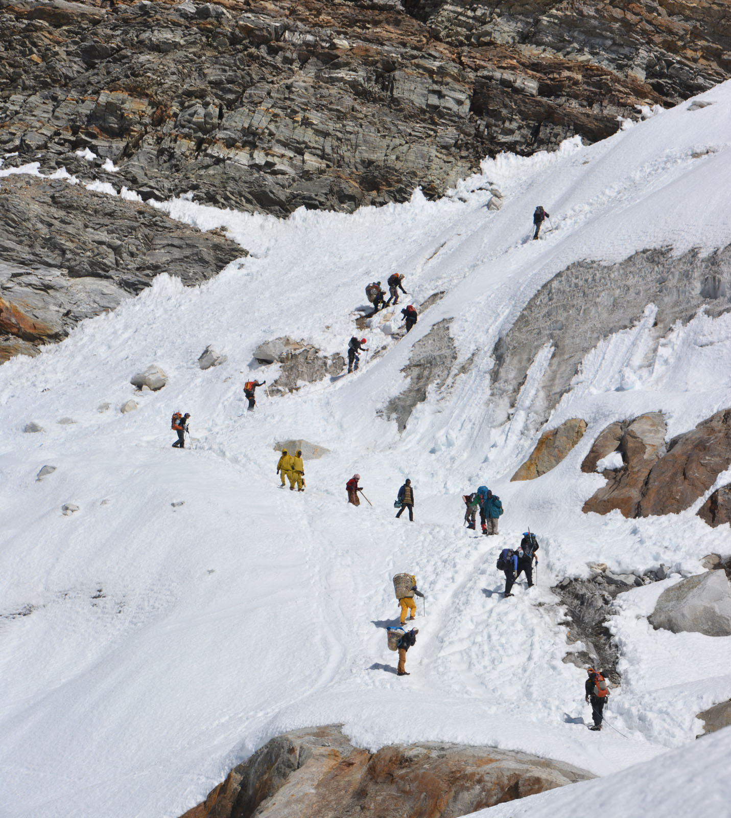
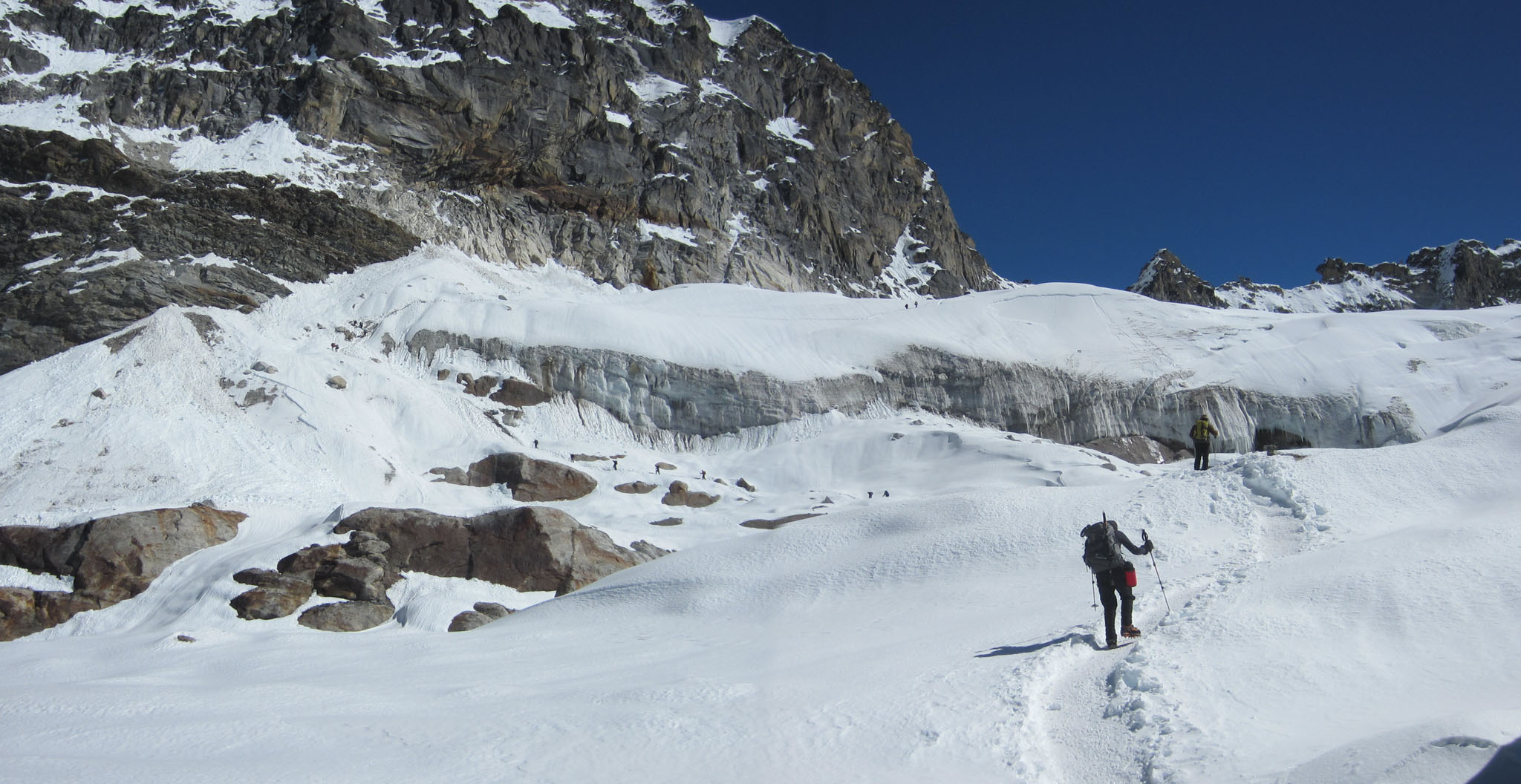
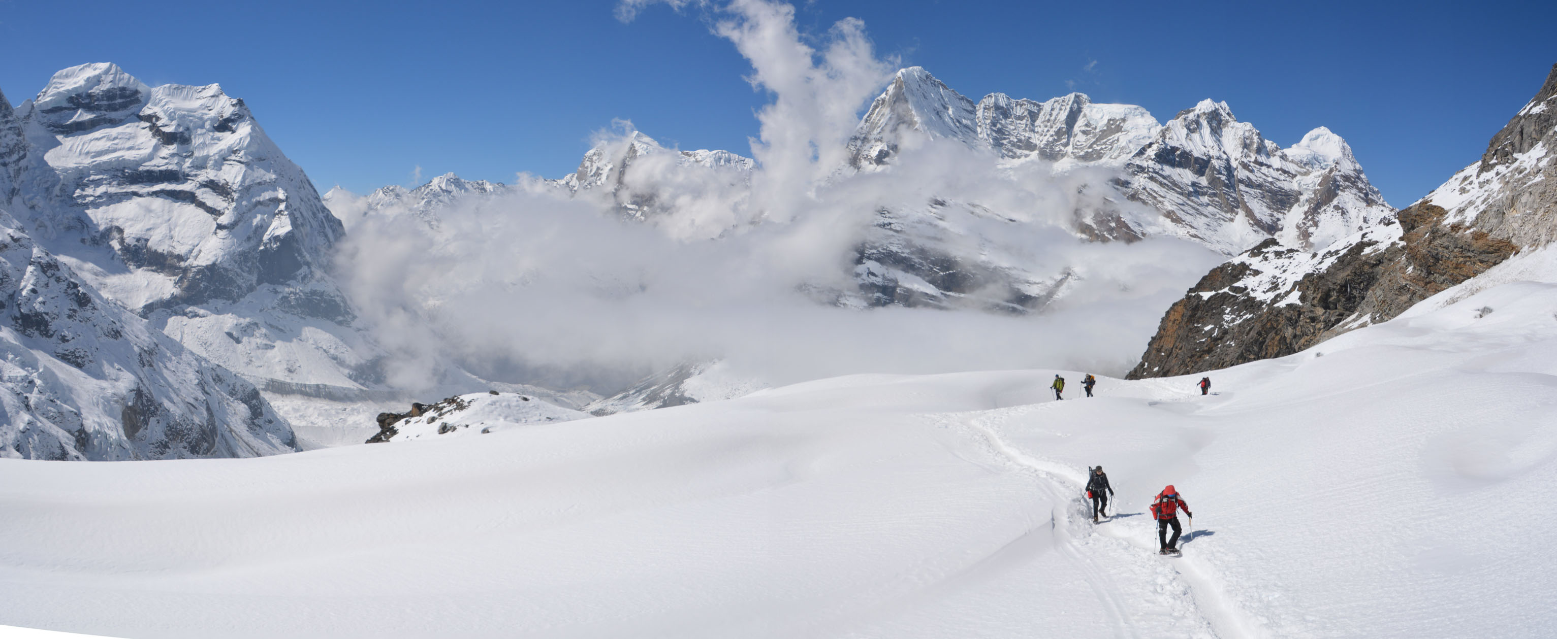
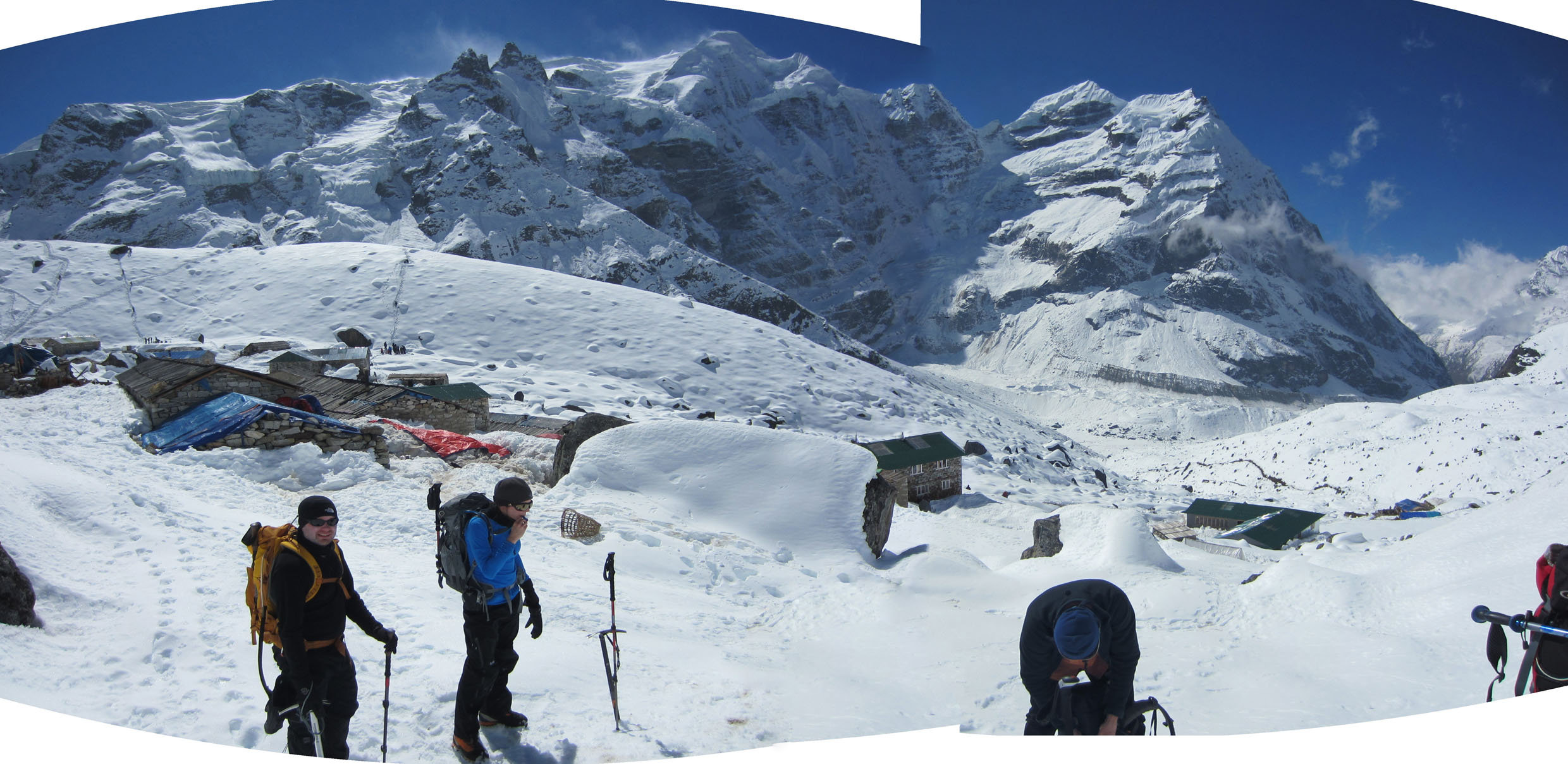
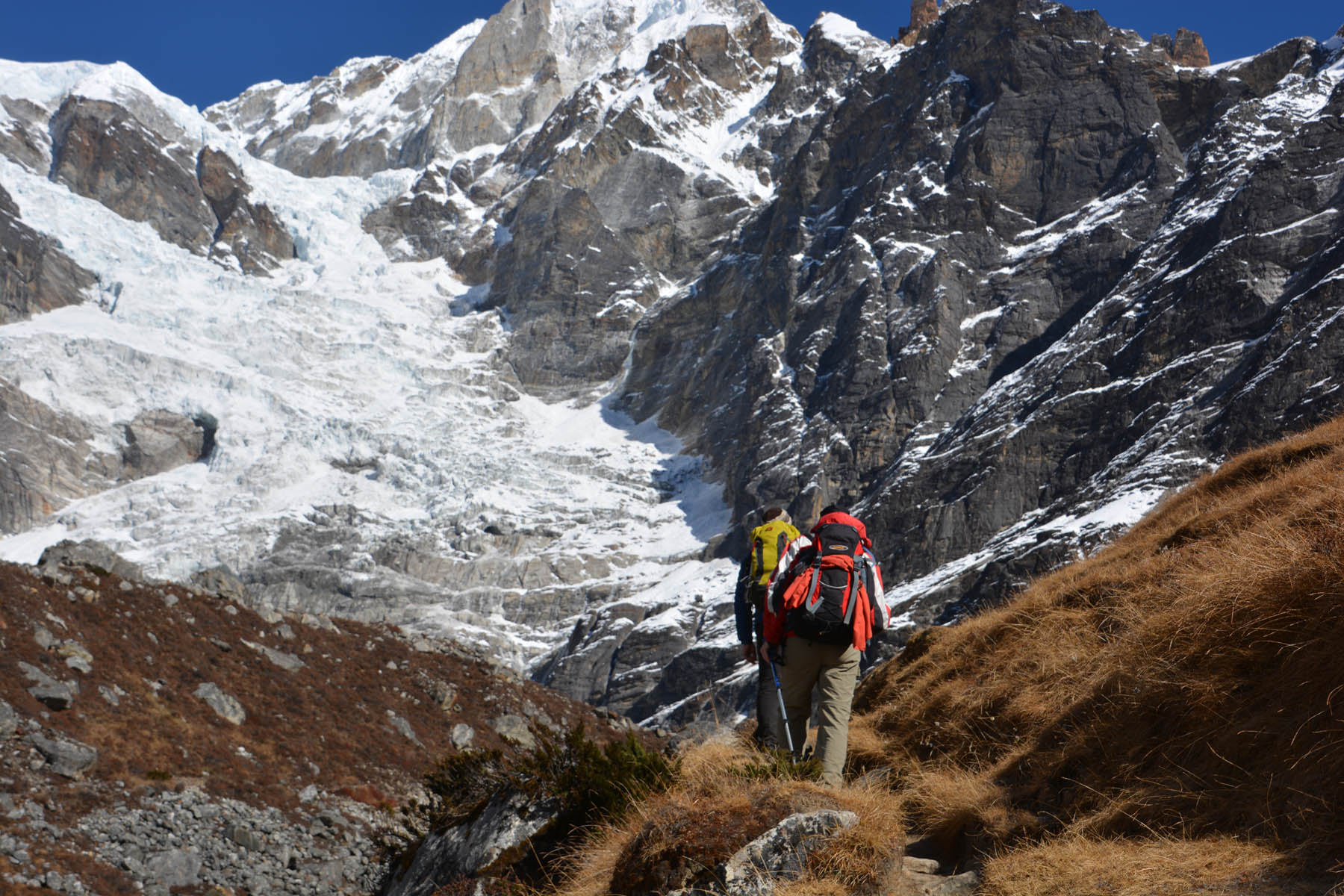
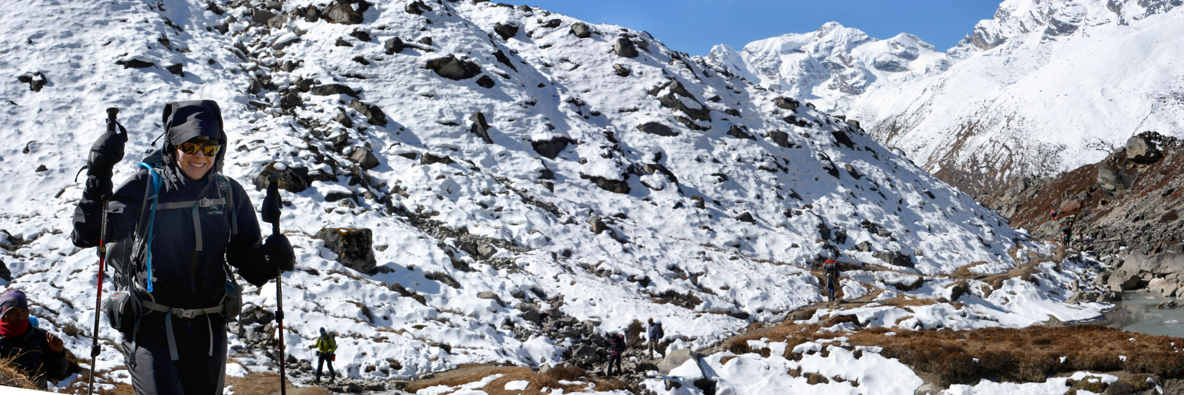
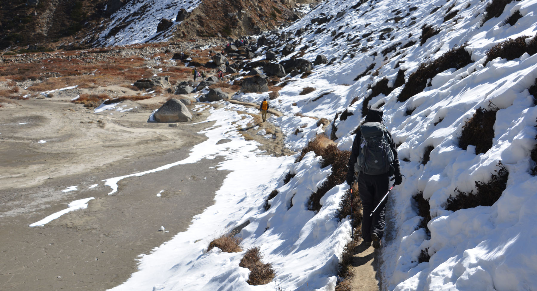
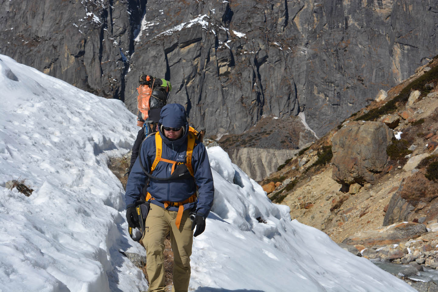
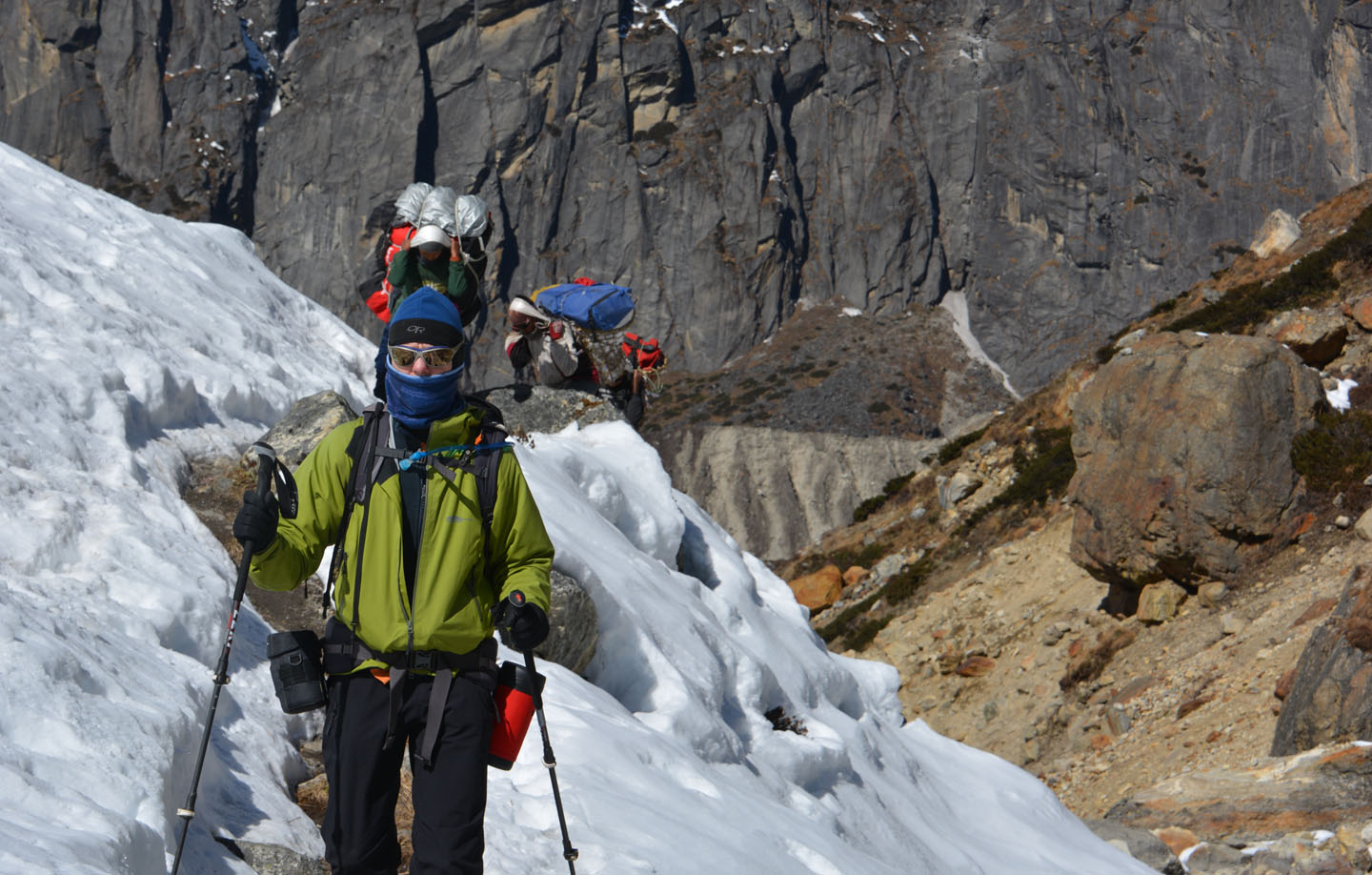
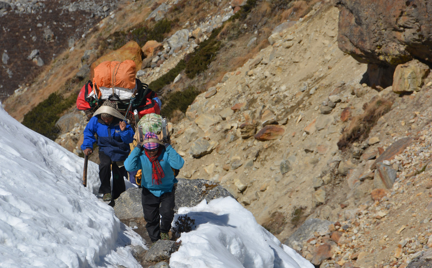
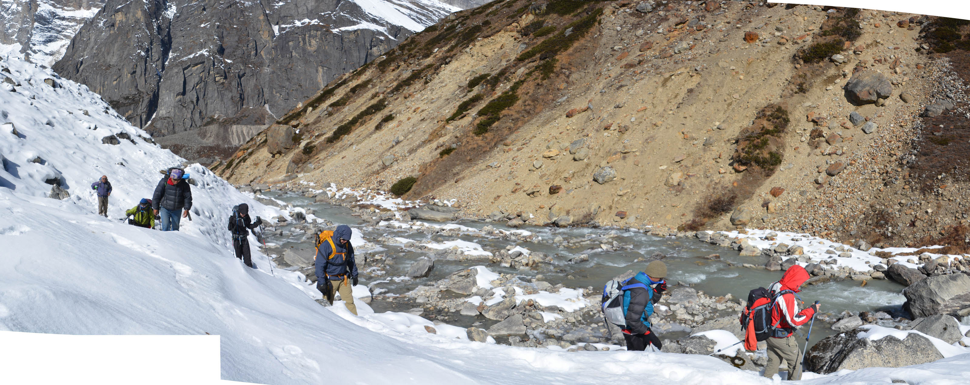
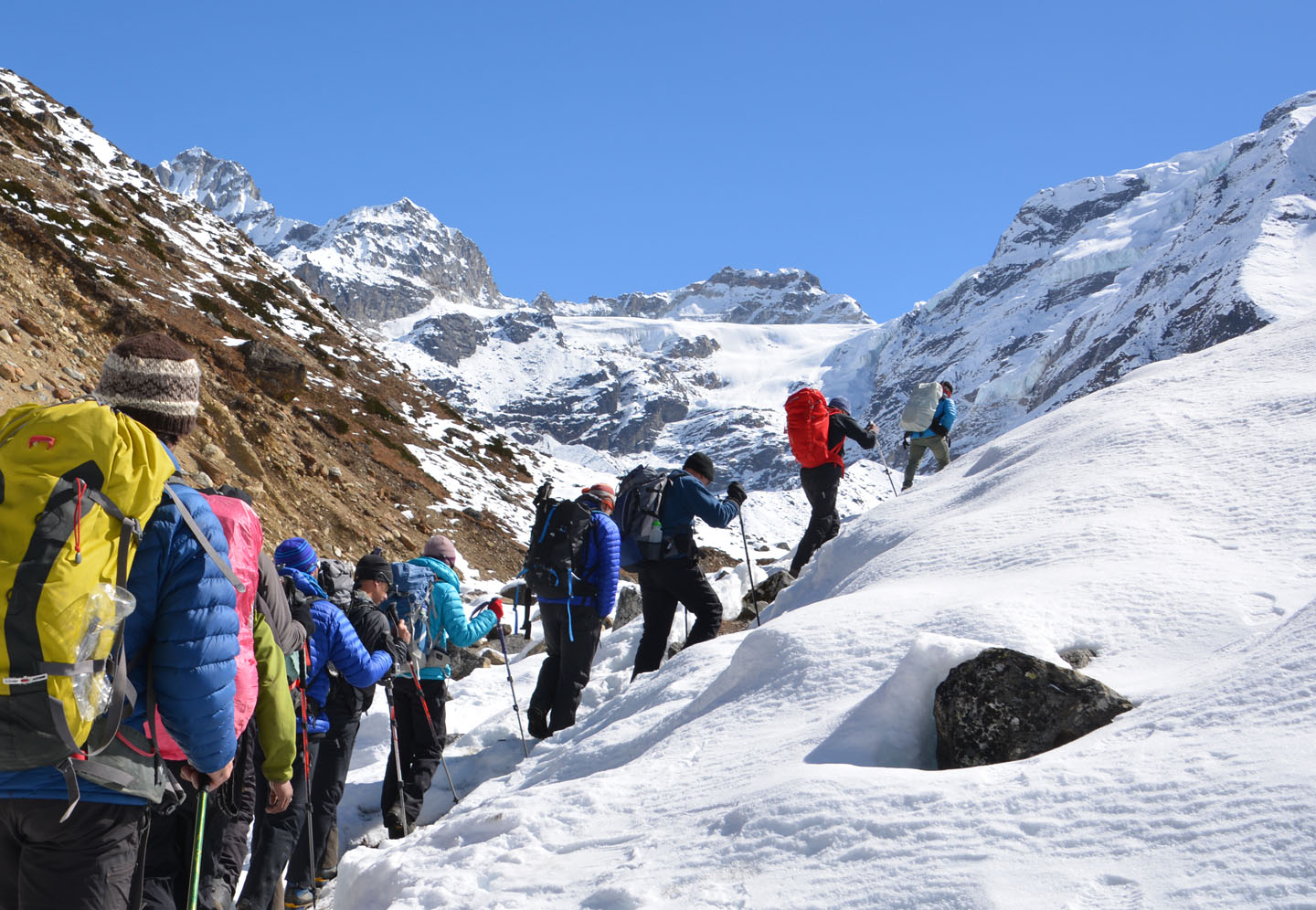
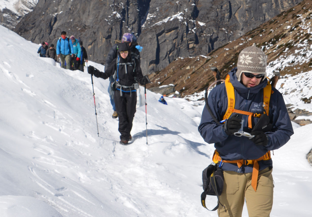
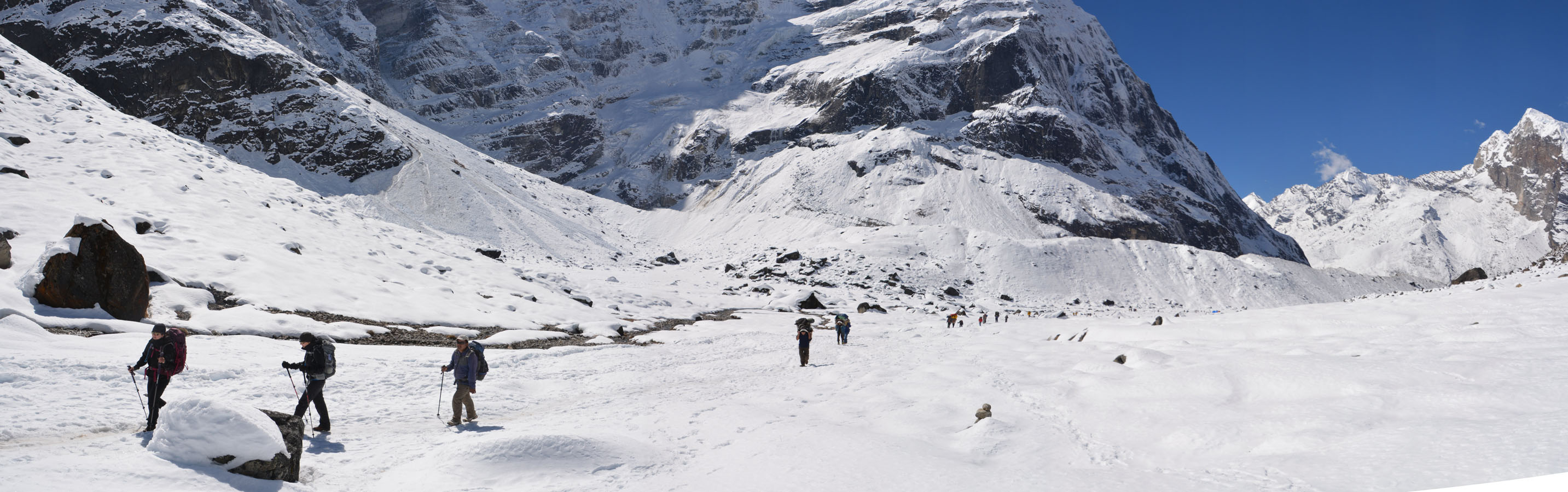
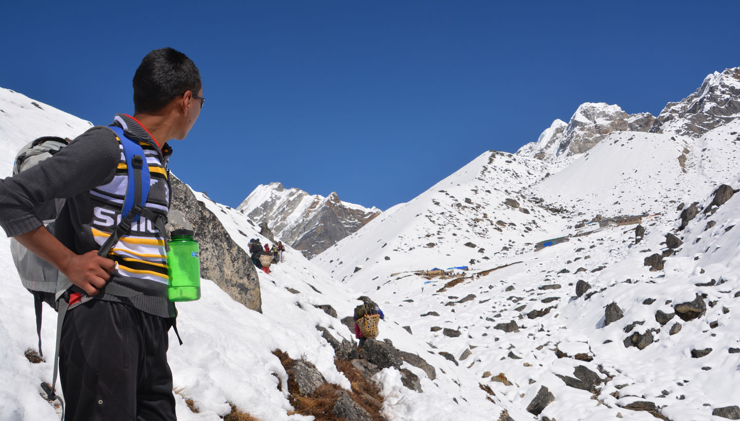
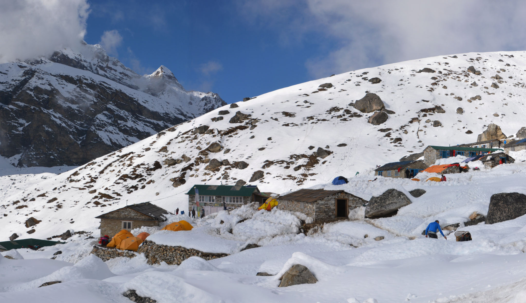
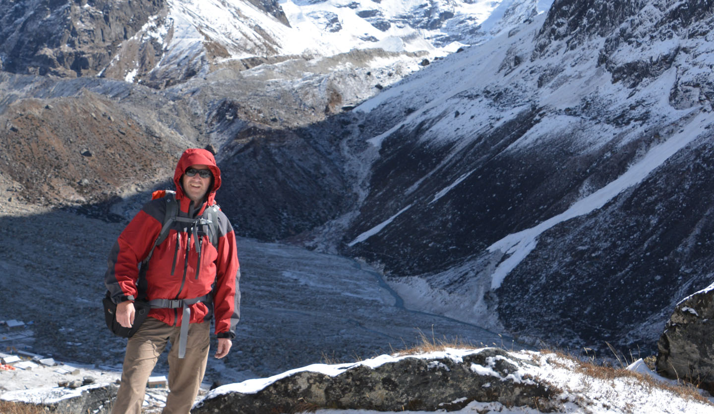
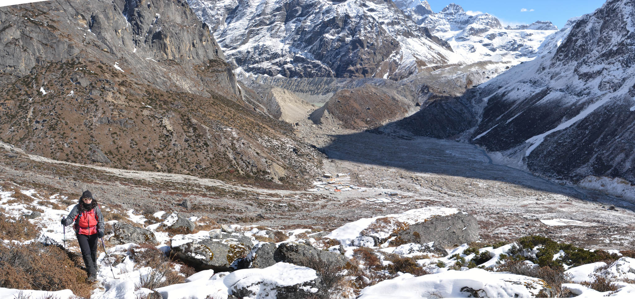
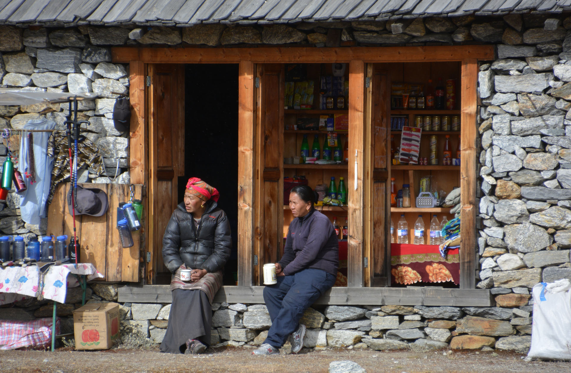
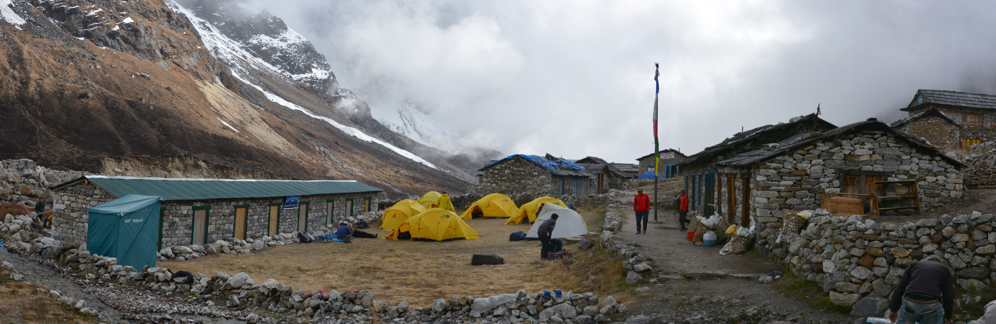
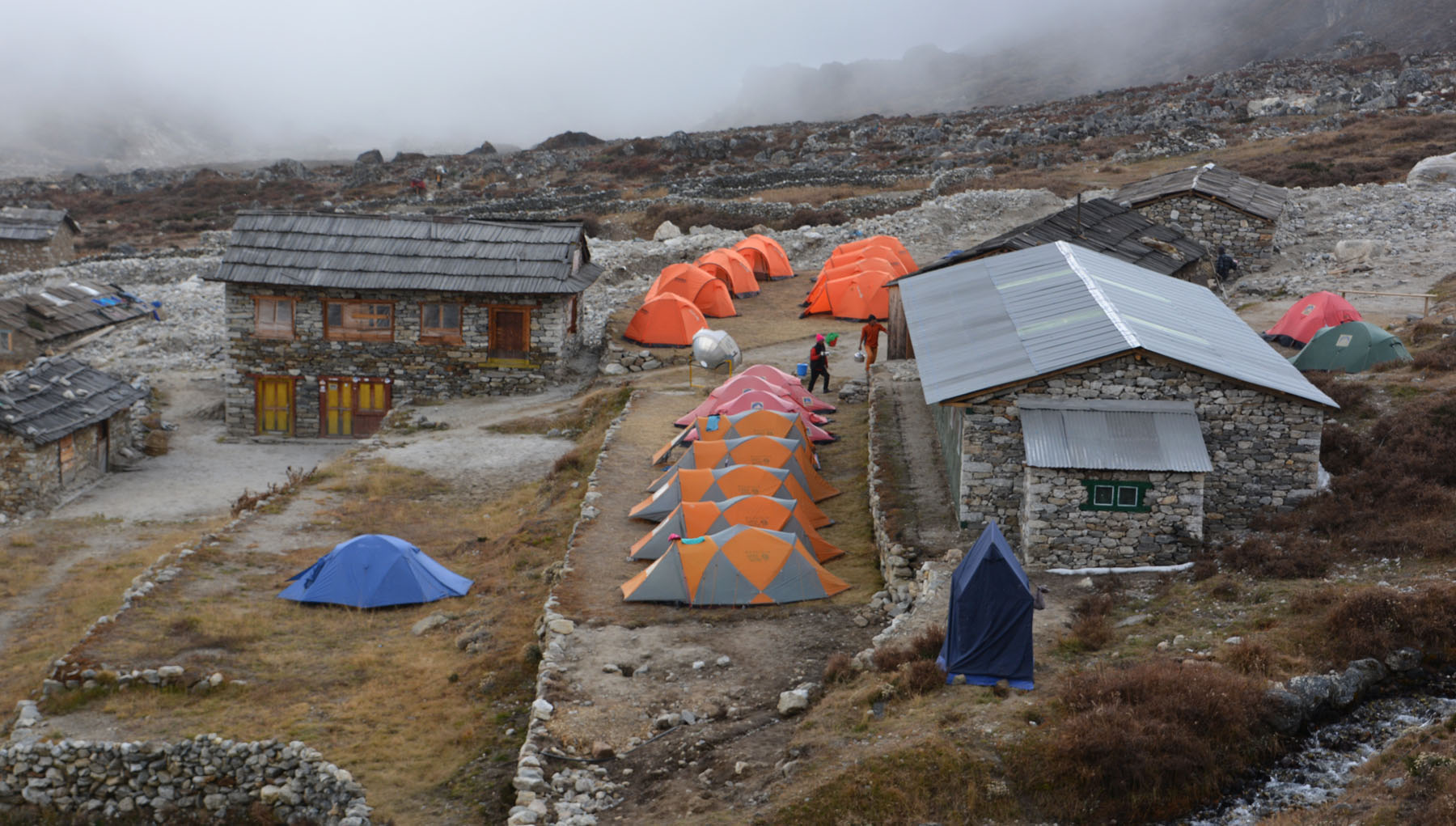
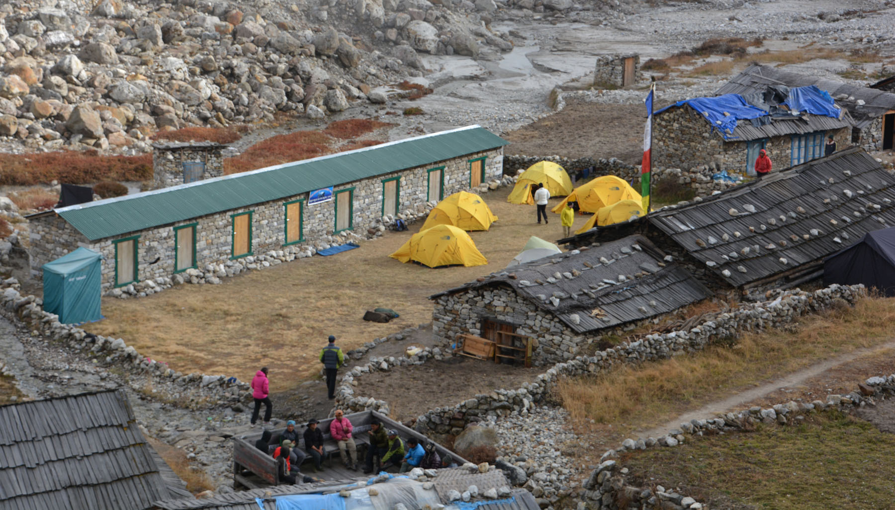
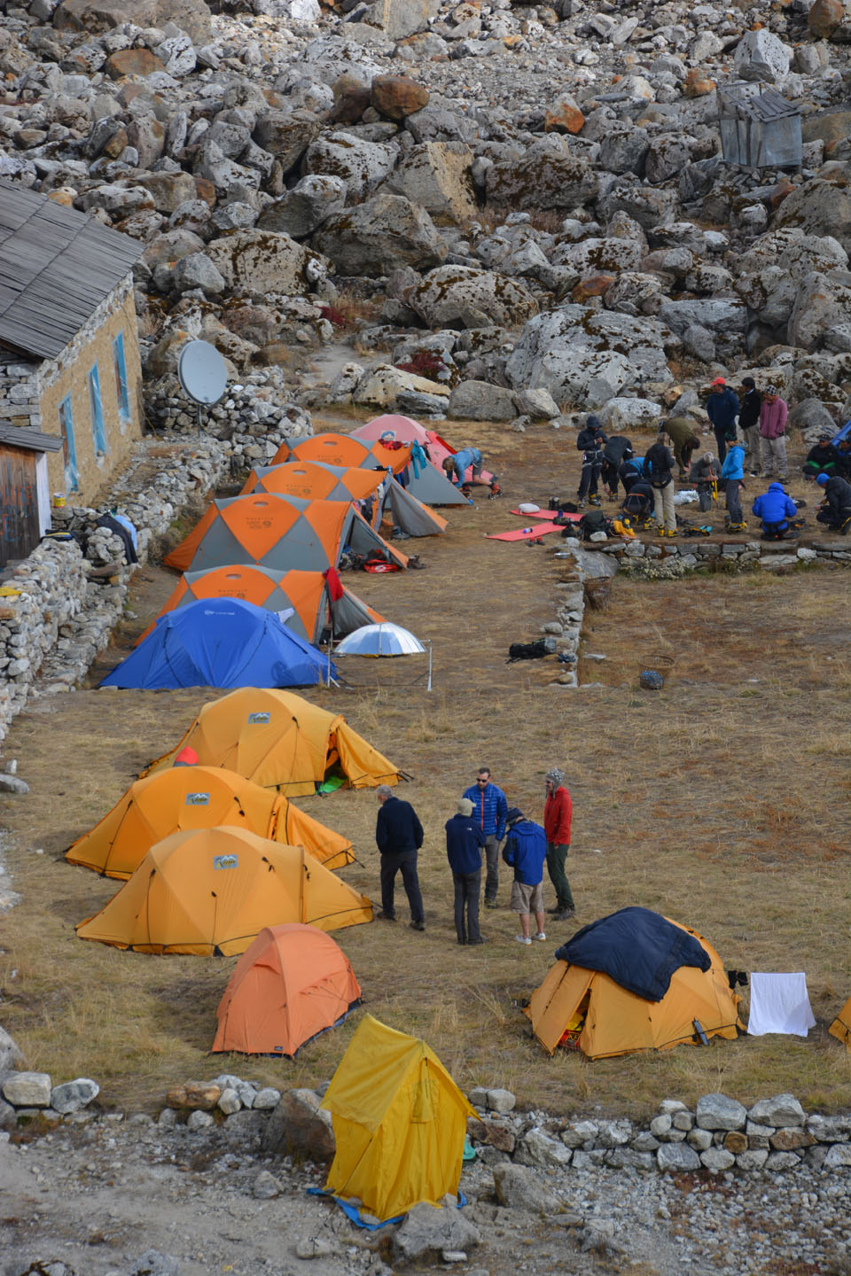
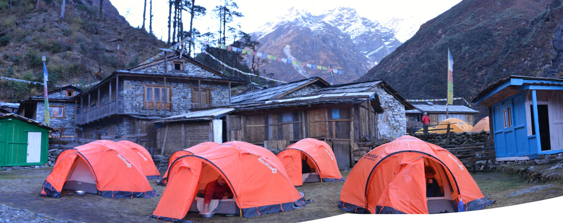
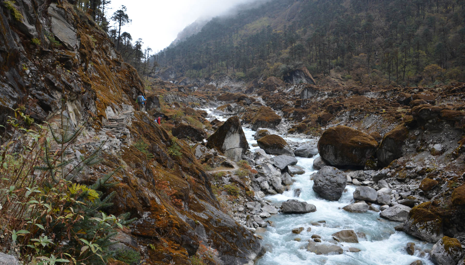
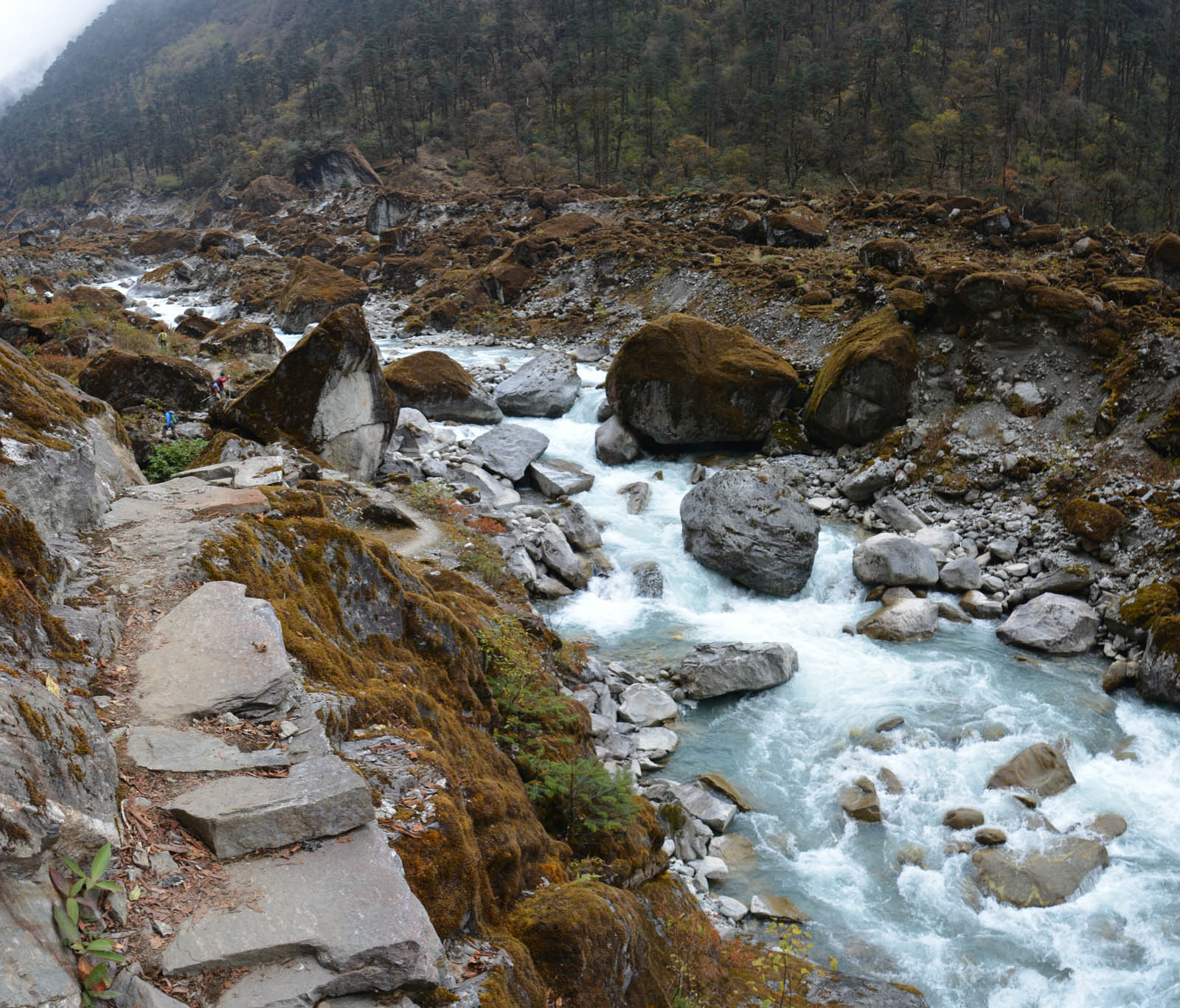
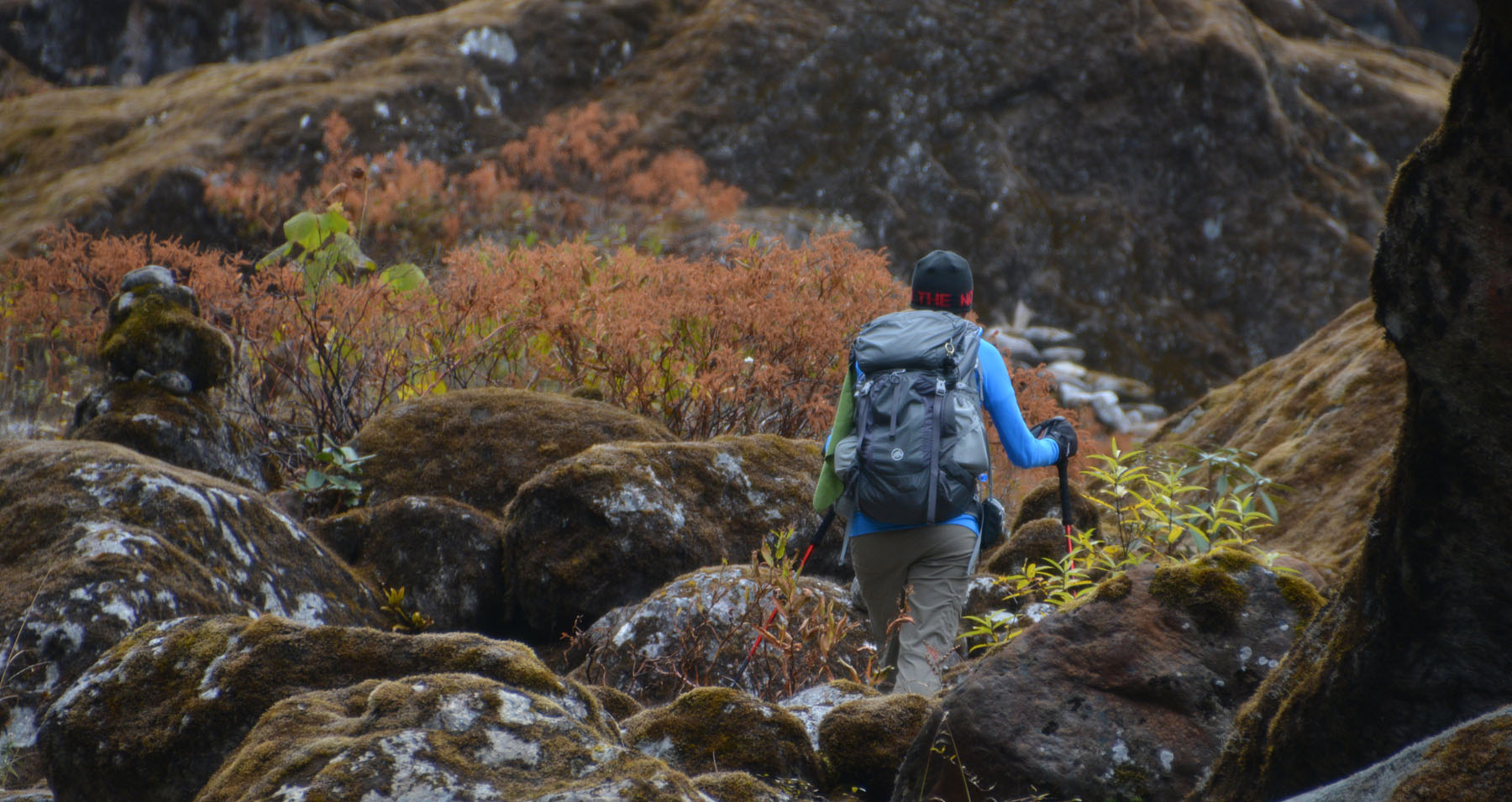
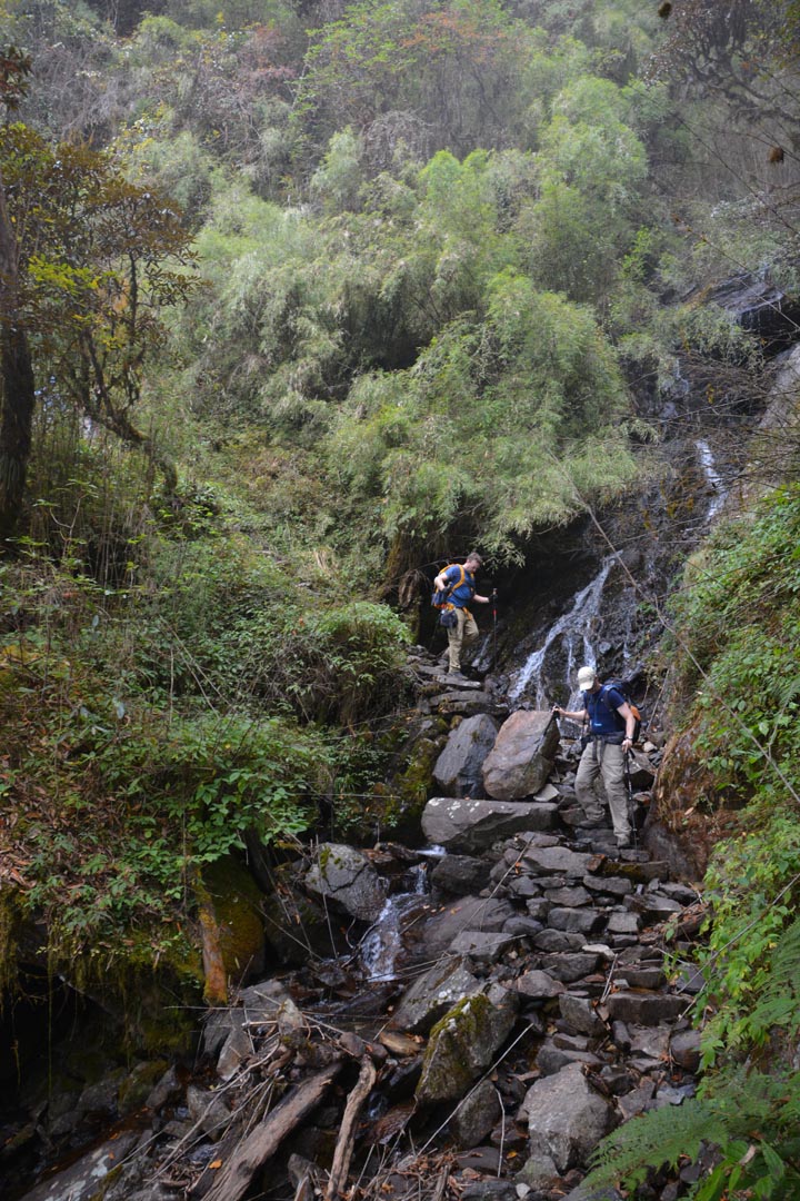
Jour 8. Tangnag à Khare
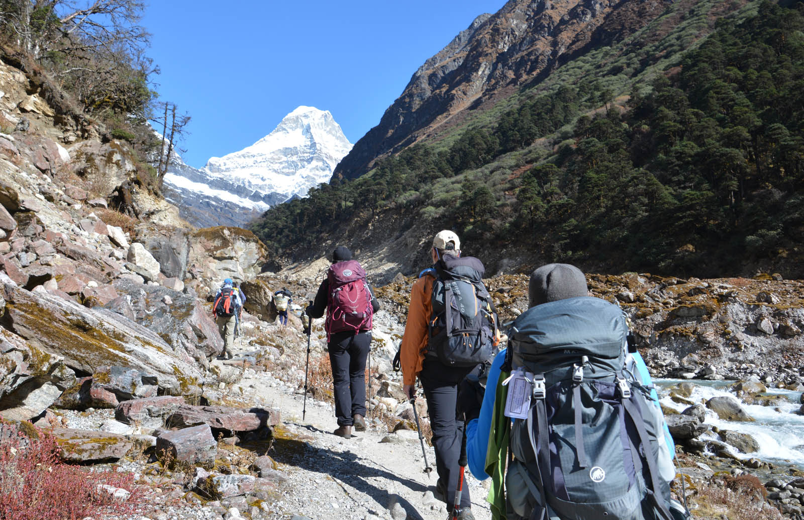
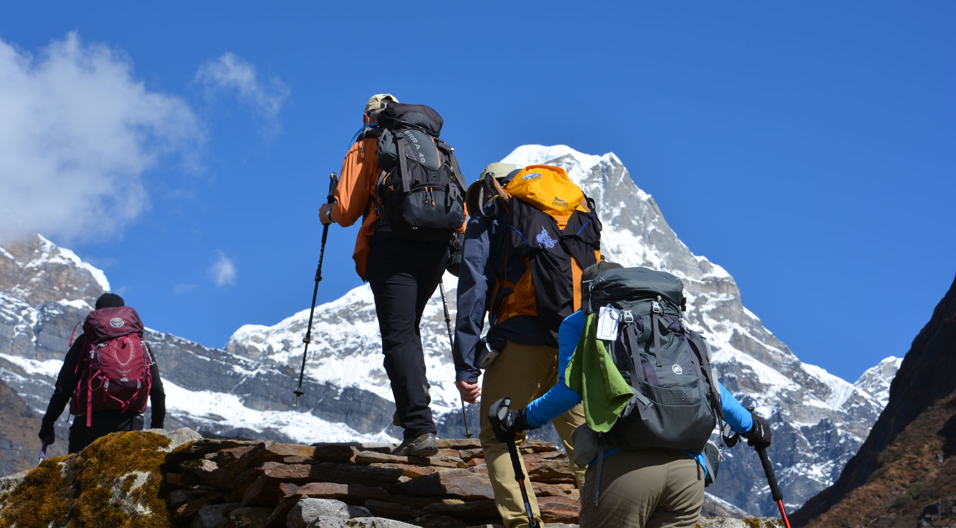
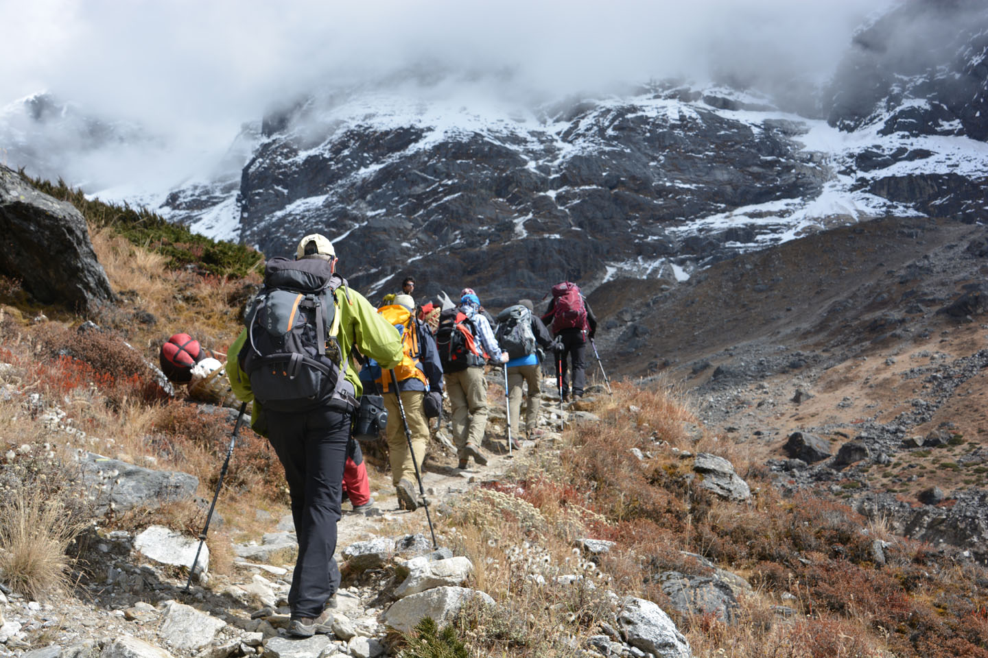
Au menu aujourd’hui: 3h30 de marche pour passer de Tangnag (4200m) à Khare (4800m). Il s’agira du dernier ‘village’ avant d’accéder au glacier et au camp de base. Au début nous montons sur de la moraine, puis nous longeons une rivière dans un magnifique décor enneigé. La montée est exigeante car l’oxygène se raréfie.


.")


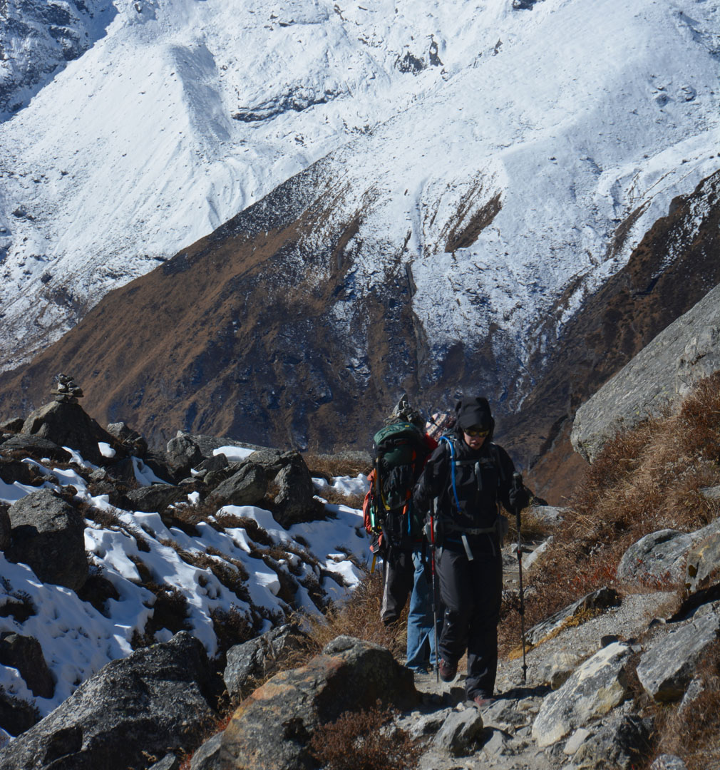
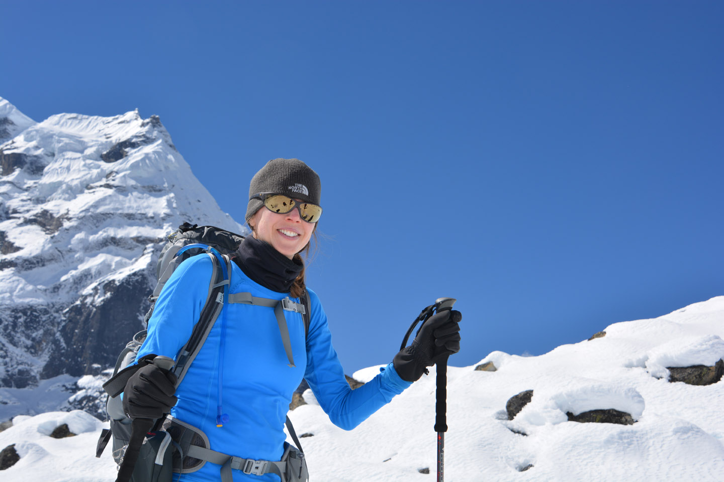
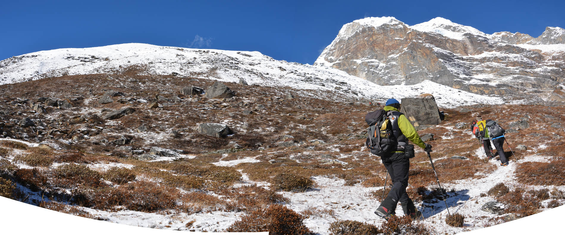
Jour 7. Tangnag – Acclimatation
Les tentes sont enneigées ce matin, l’air est vif, le ciel est clair et le décor est magnifique. Journée d’acclimatation aujourd’hui, nous partons en bottes de montagne gravir les hauteurs derrière Tangnag. On se rend à 4650m avant de revenir et se reposer pour le reste de la journée.


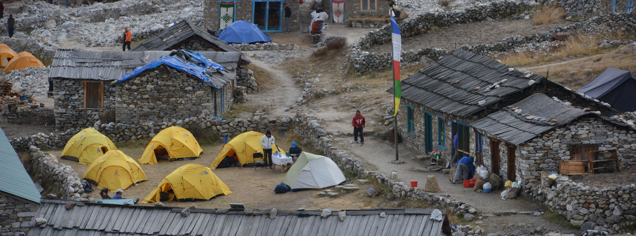
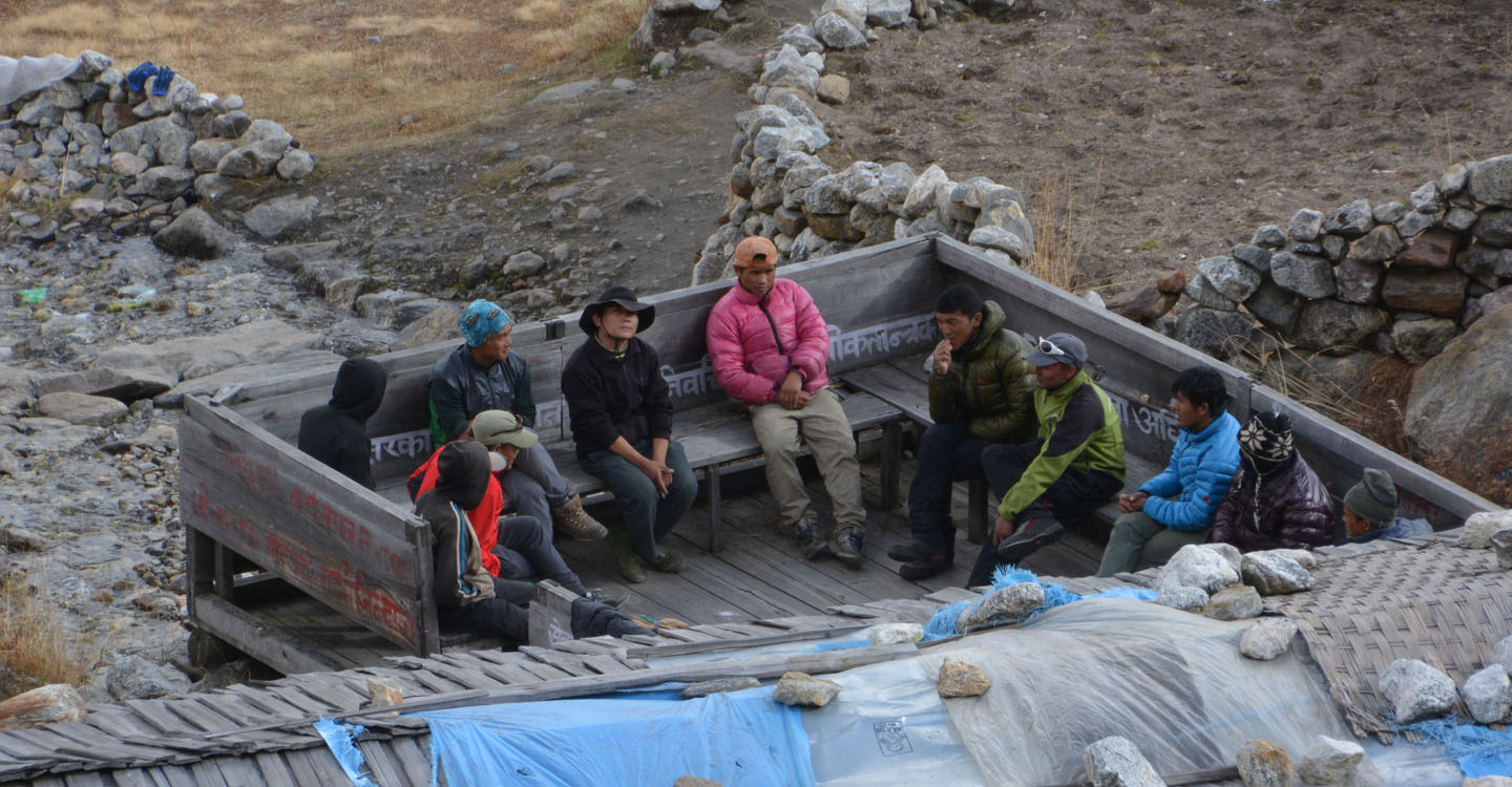
Jour 6b. Tangnag
Nous sommes arrivés tôt à Tangnag, alors pendant que les autres ‘relaxaient’, je suis parti dans les collines environnantes pour prendre quelques clichés du campement et des alentours…
.")


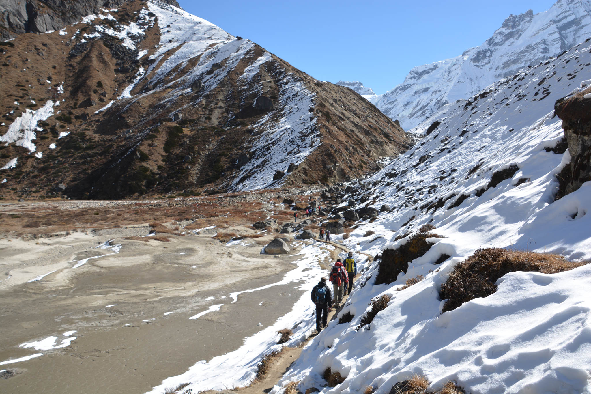
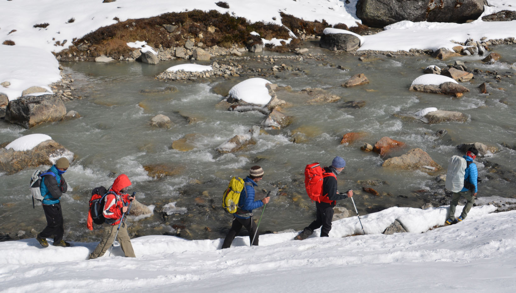
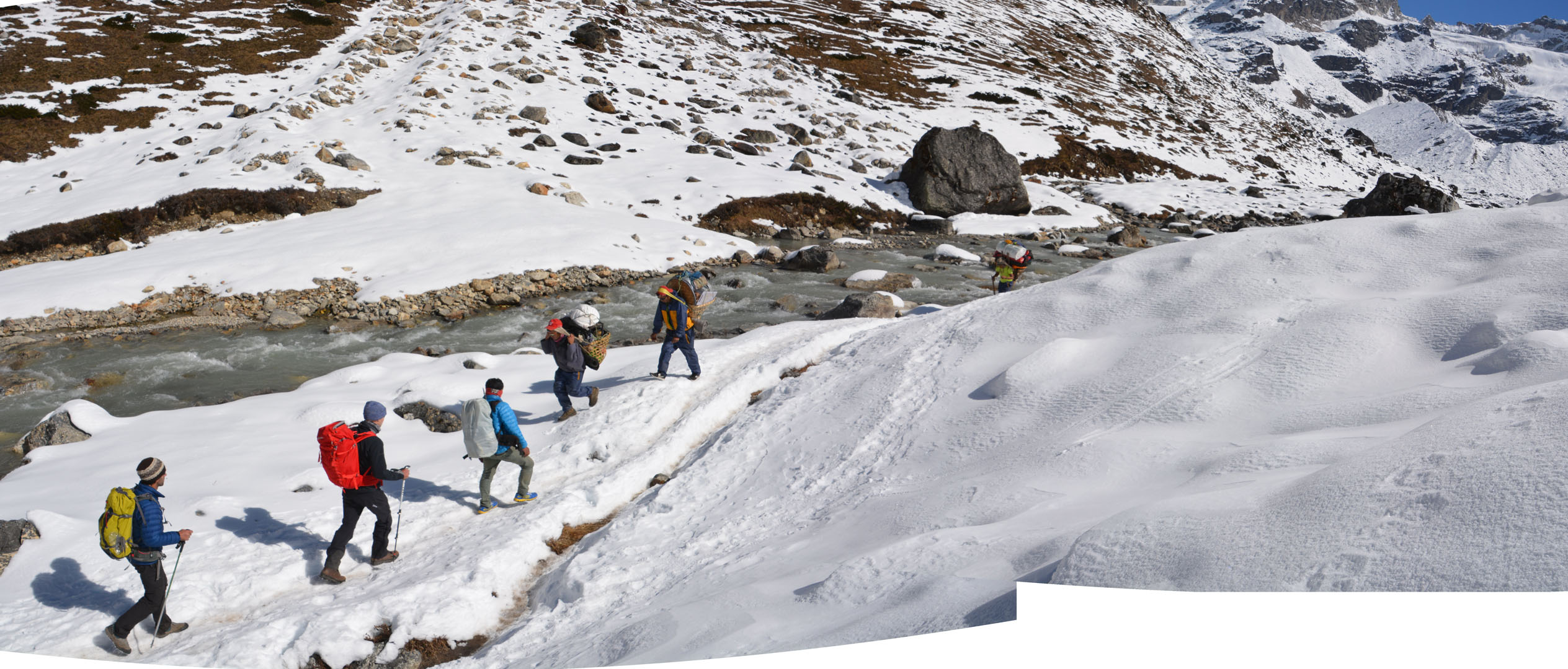
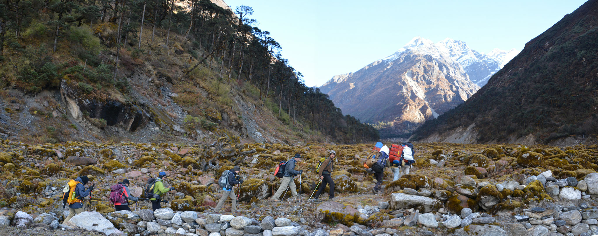
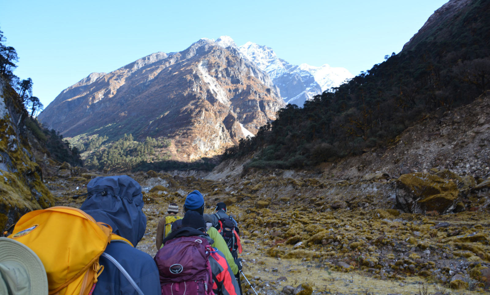
Jour 6. Kothe à Tangnag
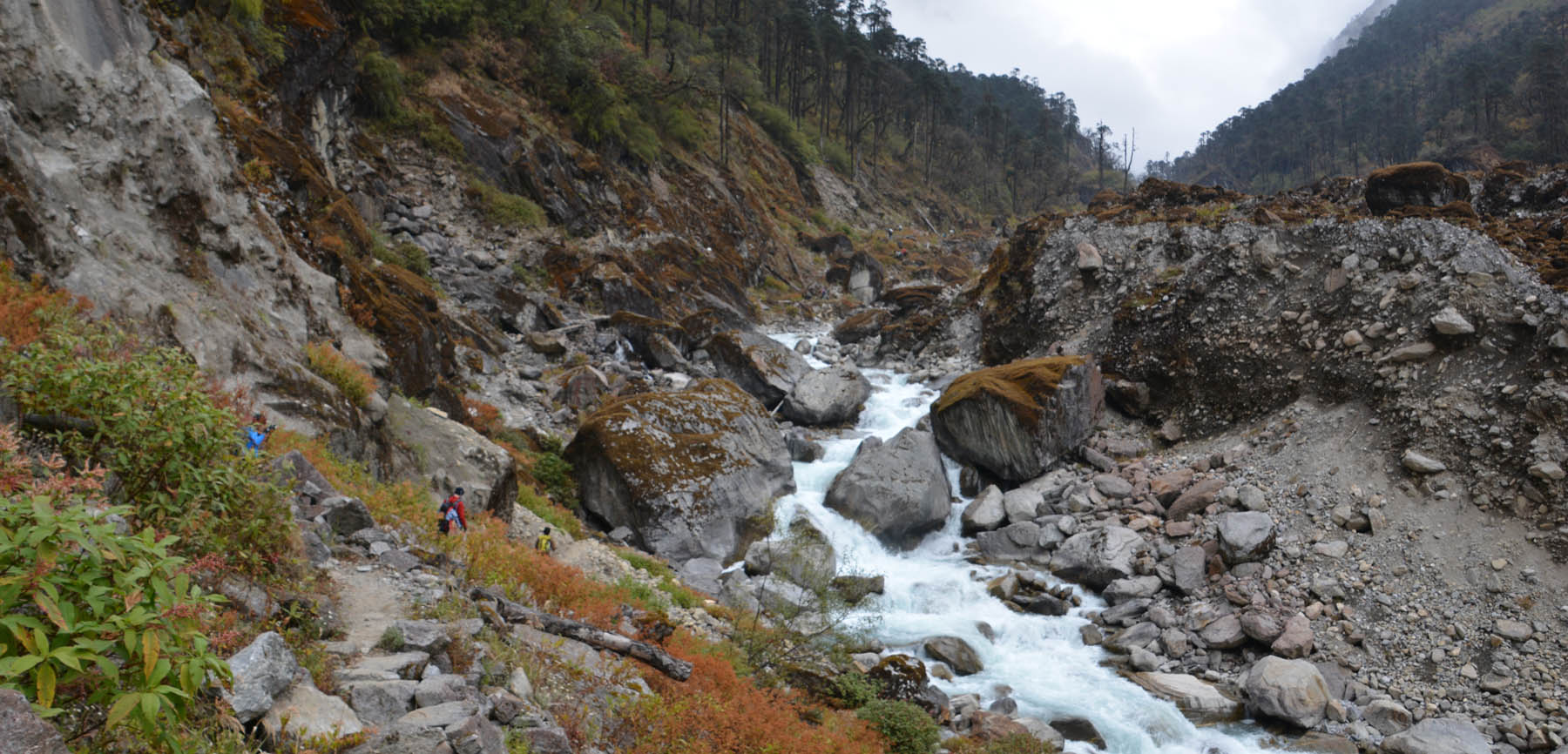
Le trek nous mène aujourd’hui de Kothe (3500m) à Tangnag (4200m). Nous allons progresser principalement le long de la rivière qui creuse la fond de la vallée. Courte journée, car nous arrivons à Tangnag à 13h. On pourra se reposer.


.")
Jour 5. Chetra Khola à Kothe
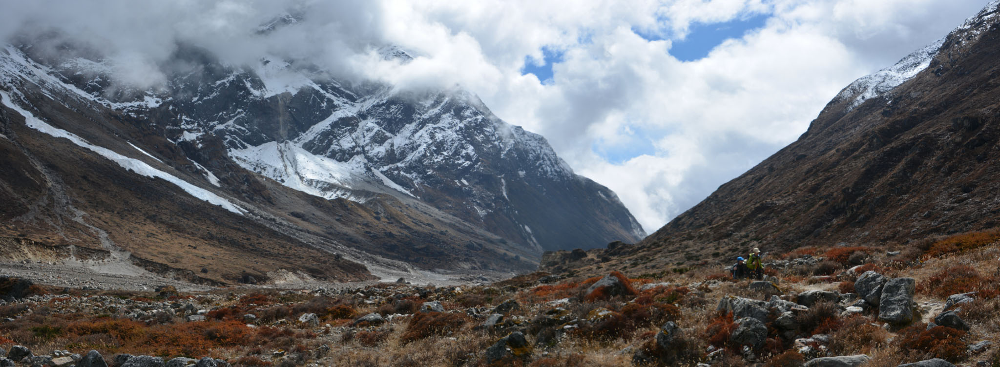
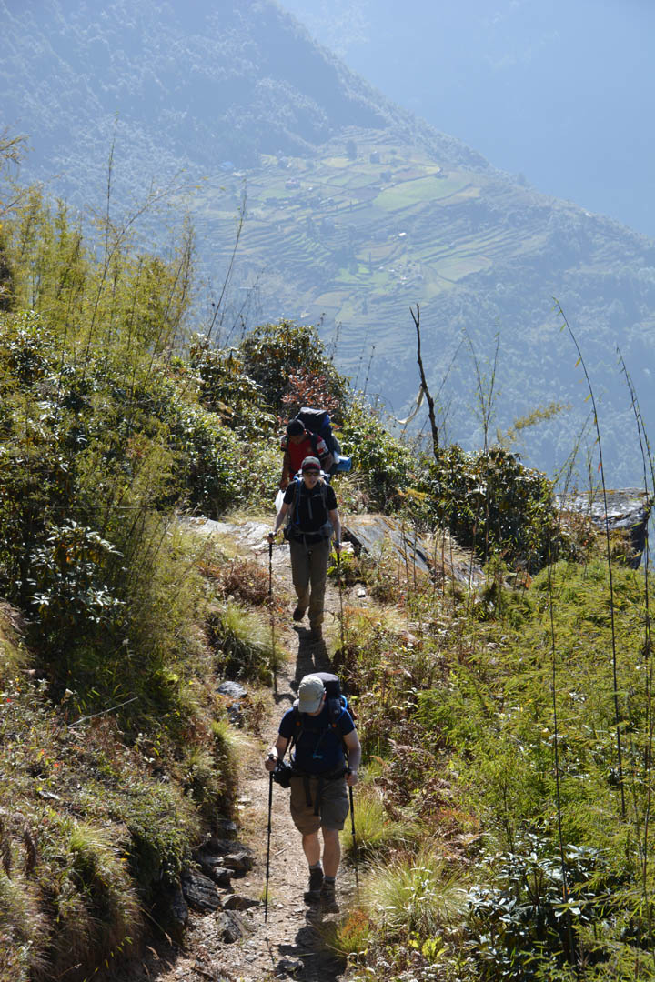
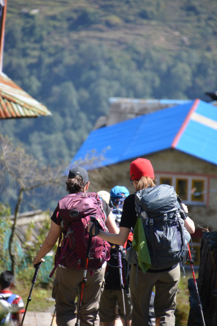
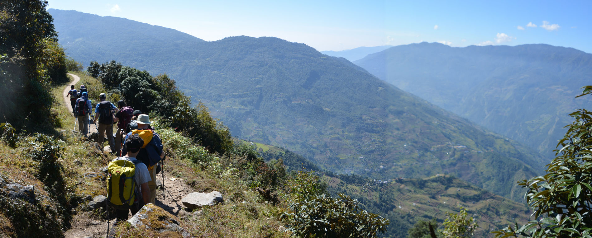
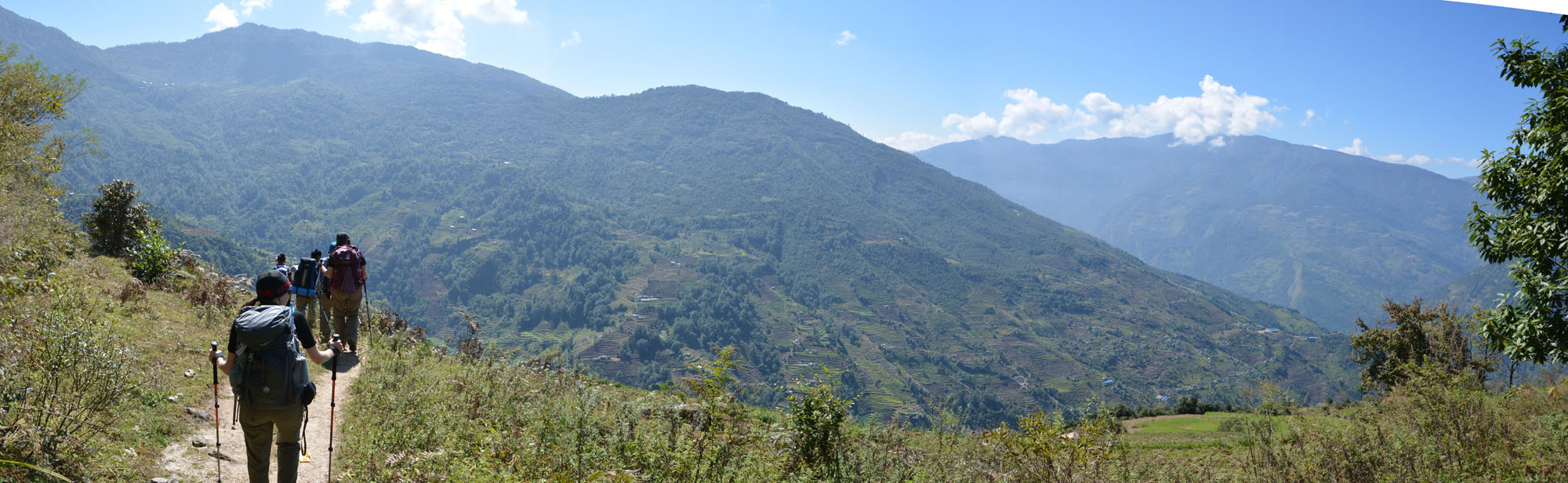
Aujourd’hui on complète la première moitié du trek lorsqu’on rejoint le sentier ‘principal’ qui mène les ‘trekkeurs’ de Lukla vers la vallée du Mera. Le matin nous sommes encore en forêt, mais on commence à entendre le torrent qui coule en contrebas, et qui origine du glacier plus haut. Au lunch, au ‘Doma Lodge’, la température se fait plus montagnarde et voisine le zéro. En fin de journée on arrive à Kothe, le village qui sert de porte d’entrée officielle à la vallée. À partir d’ici nous allons progresser en compagnie d’autres groupes, que nous reverrons souvent.


 pour le lunch est en vue.")
, on mangera à l'intérieur.")


. Établissement de notre campement.")
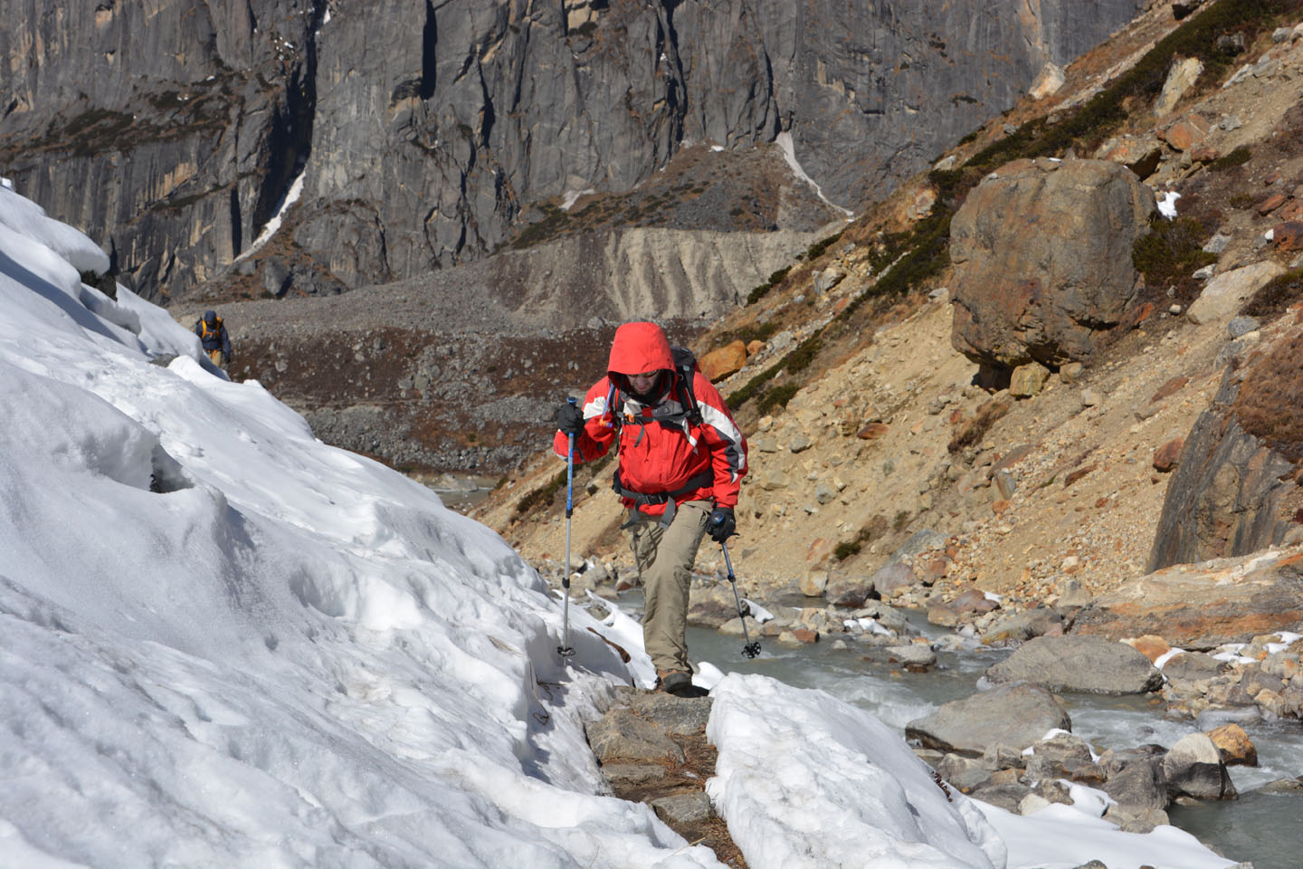
Jour 4. Ningsoin à Chetra Khola Camp
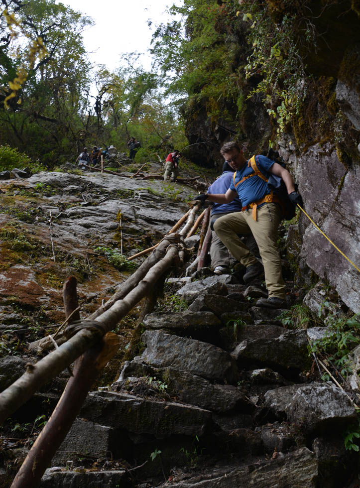
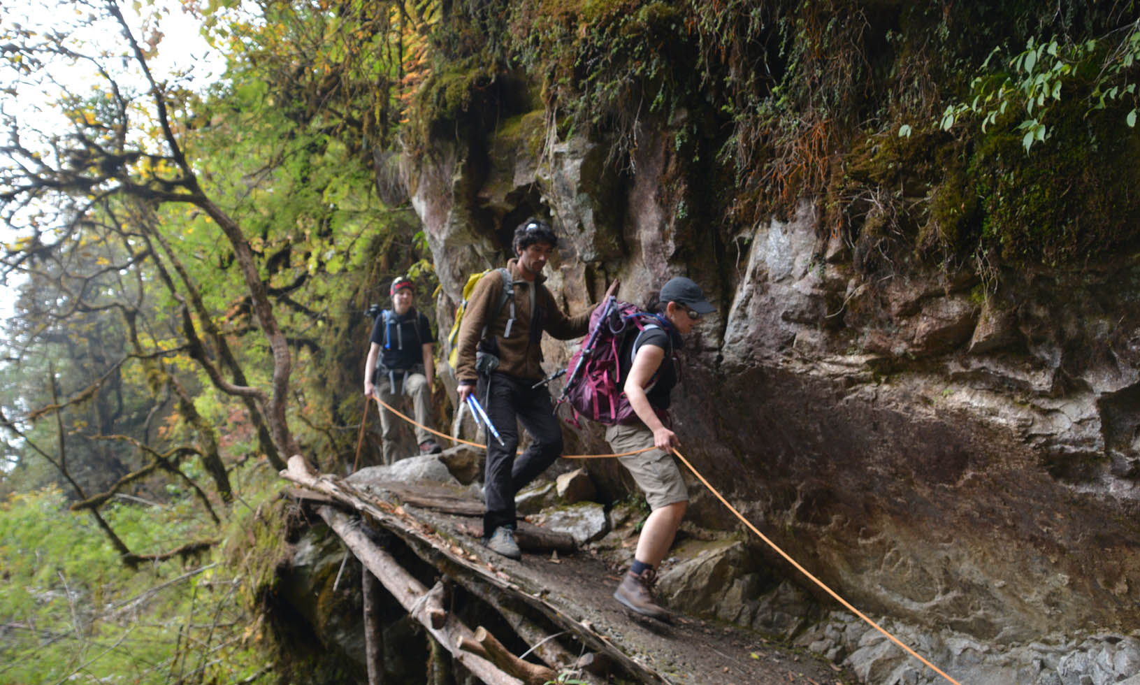
Aujourd’hui on traverse une région peu fréquentée. Tellement que le sentier n’apparaît sur aucune carte. Le lunch se fait sur des rochers près d’un torrent, et le sentier présente quelques passages délicats en après-midi. Le Camp en fin de journée est à 3000m.


.")


. Nous sommes dans les bois, et fins seuls.")
Jour 3. Panggom à Ningsoin
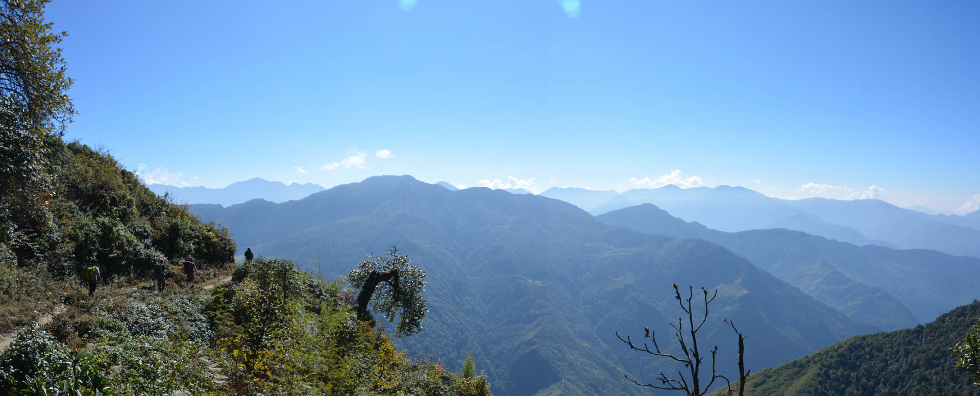
Aujourd’hui, nous l’apercevons pour la première fois. Passé un col et au détour d’un sentier, le MERA Peak nous contemple (ou vice-versa). On voit les sommets Mera Nord (5476m), Central (6461m) et Sud (6064m). On se dirige dorénavant vers le nord, vers la vallée du Mera, dans une zone moins peuplée. On verra moins de ‘convois’ de porteurs qui font la navette entre les villages.

")


")
Jour 2. Chutok à Panggom
Deuxième jour, et on commence déjà on voir un ‘pattern’. Le matin on se lève très tôt et puis vers 8hres on se met en route. Ça monte, ça descend, ça monte, puis à un col on arrête pour le thé au lait. Puis on remet ça jusqu’au lunch, idéalement là où le cook et ses assistants peuvent avoir accès à de l’eau et une place pour cuisiner. Et puis l’après-midi on marche encore un bon 3 heures avant d’atteindre notre camp.
Nous sommes chanceux, l’air est doux et bon, il fait soleil. La paysage est ‘bucolesque’.


. Aussi bien s'y habituer, c'est la pause pour le thé.")


.")
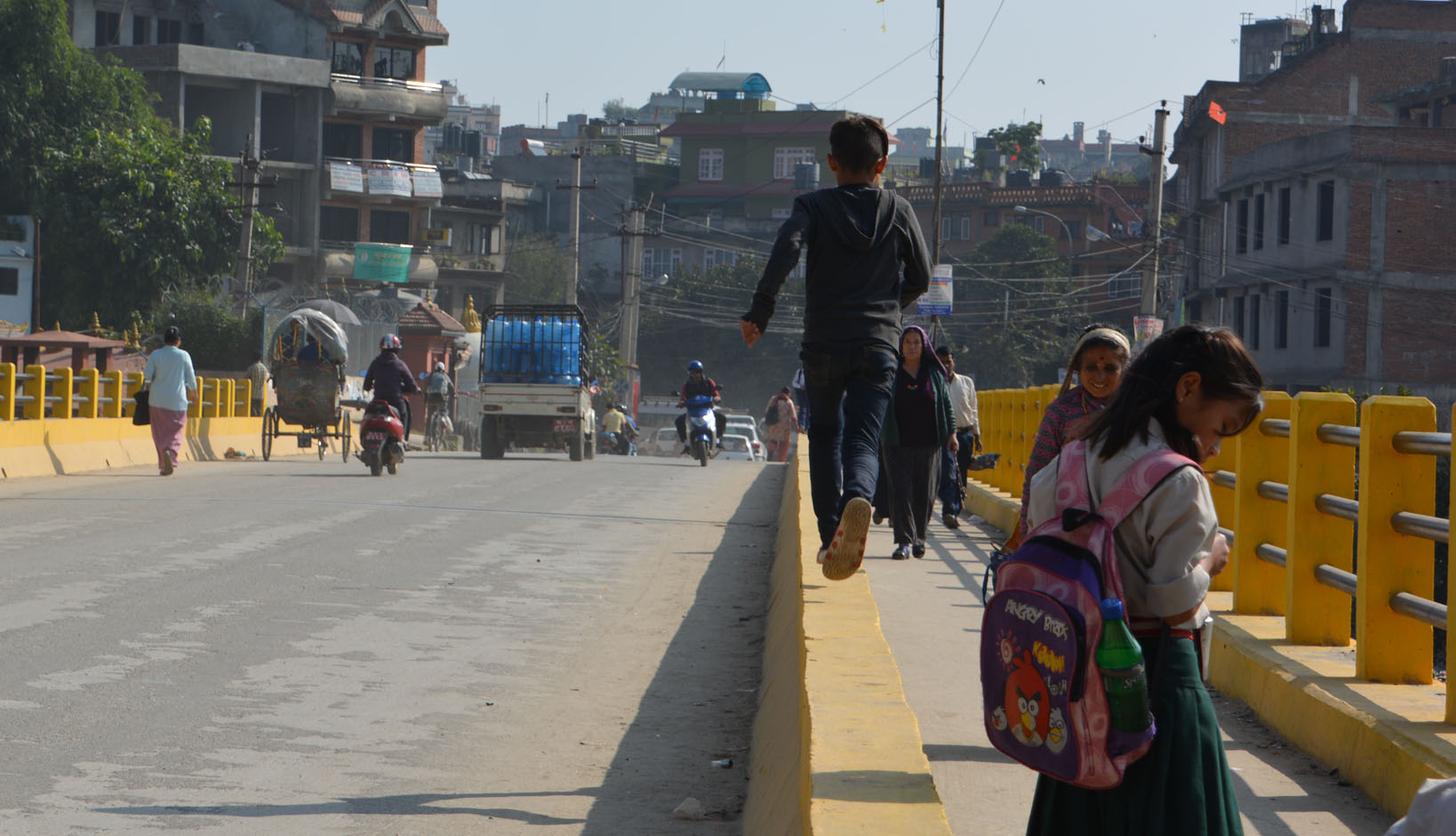
MERA Trek Jour 1. Lukla à Chutok
Un petit avion de 14 places nous ‘dépose en douceur’ sur la piste de Lukla, malgré une piste à 12% d’inclinaison, qui donne à cet aéroport une mauvaise réputation… Voilà, ça y est, c’est le début du trek!
On commence par se diriger vers le sud. Le ‘détour’ des prochains 4 jours sera bénéfique pour notre acclimatation, aussi bien physique que mentale. Moi je démarre vraiment malade, stratégie involontaire pour être en meilleure forme quand ça comptera vraiment! J’ai quand même pu prendre quelques photos…


")


")

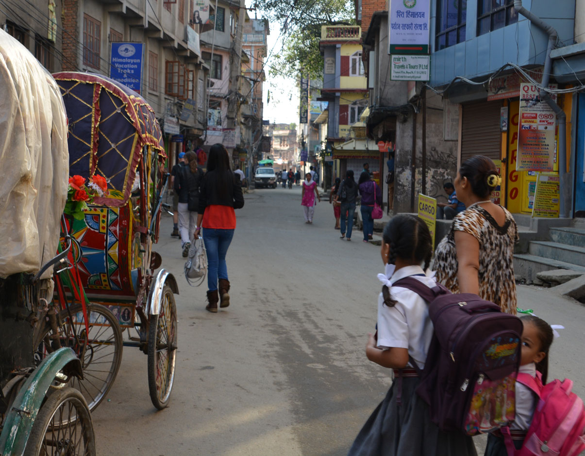
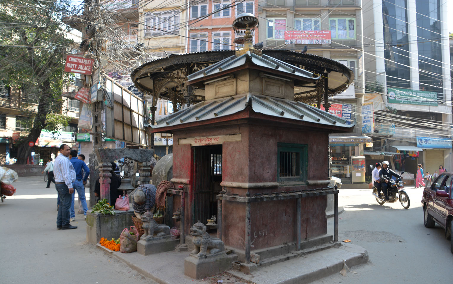
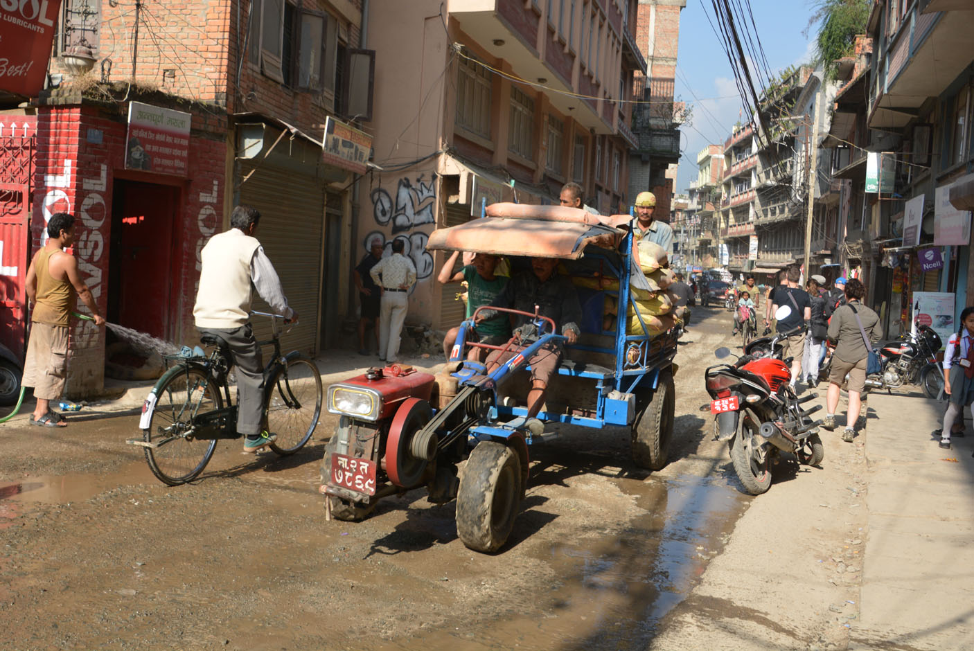
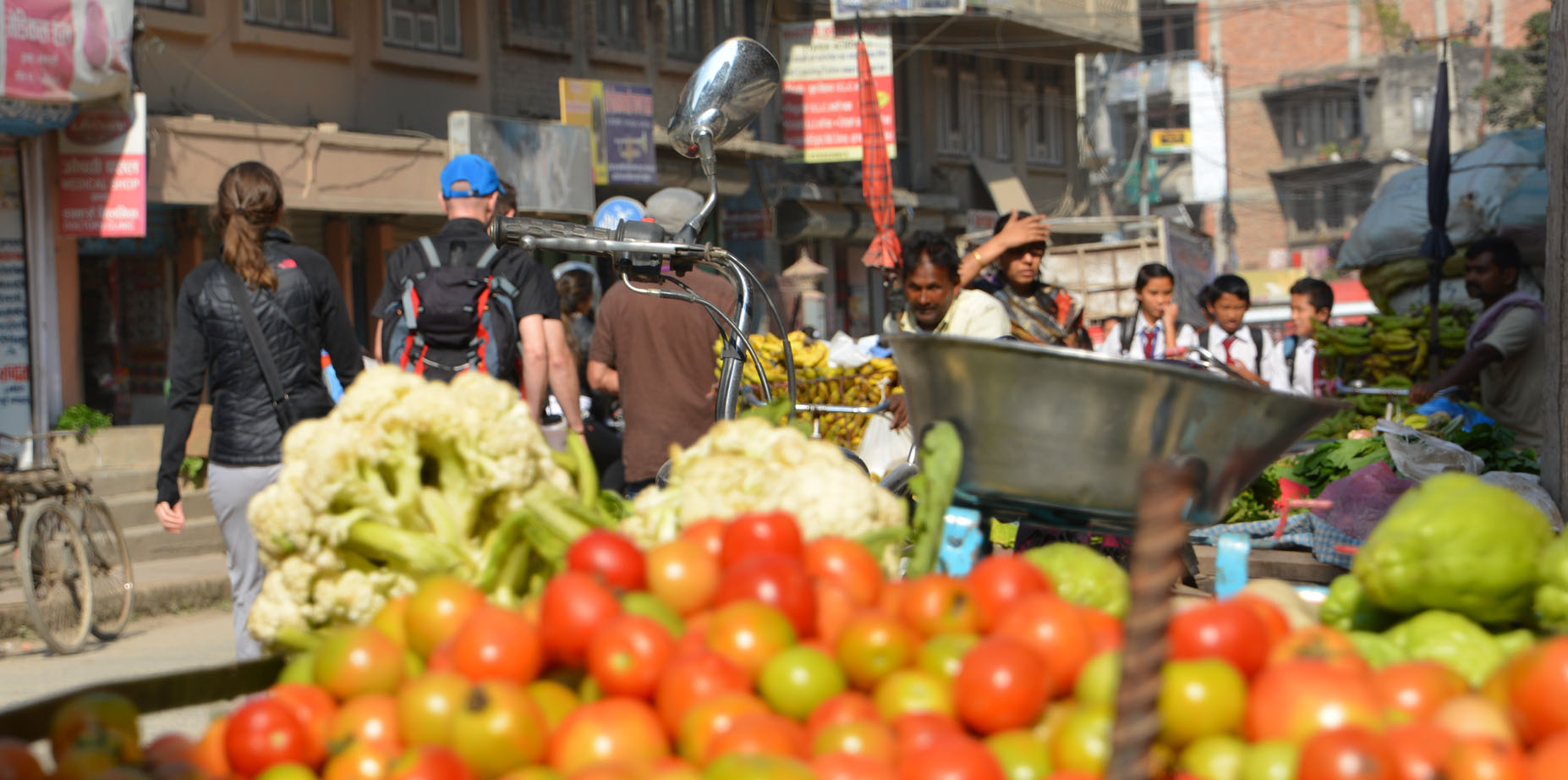
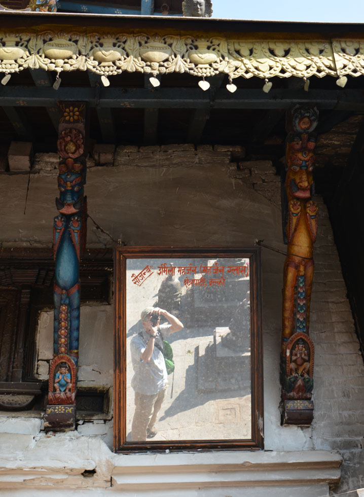
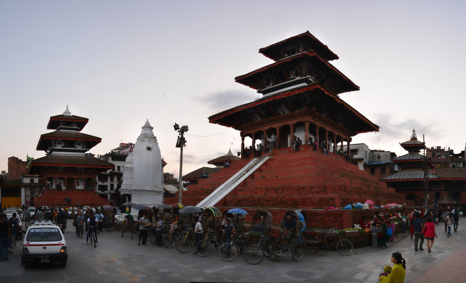
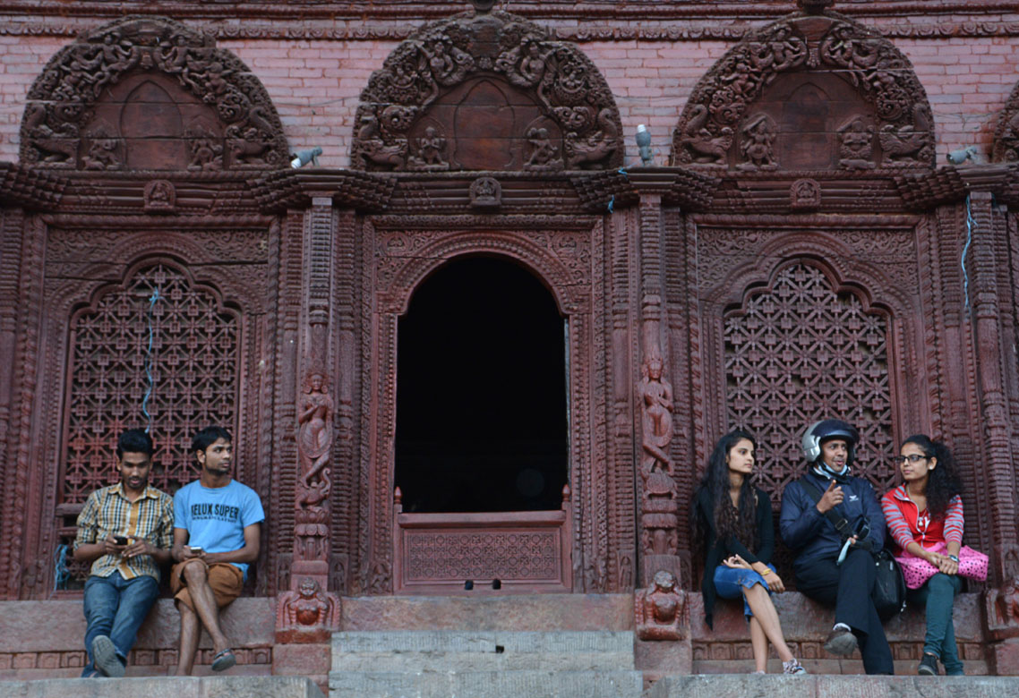
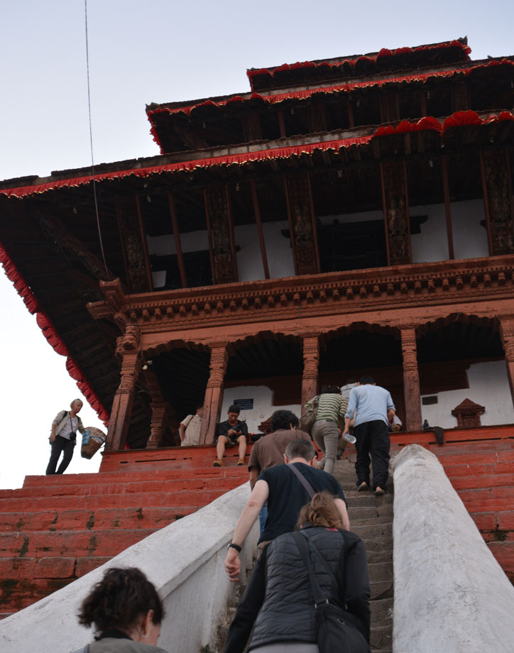
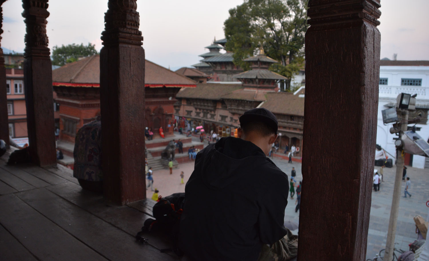
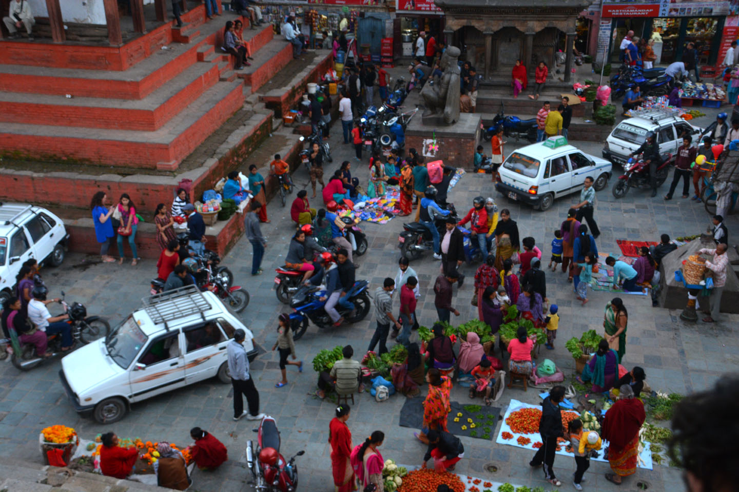
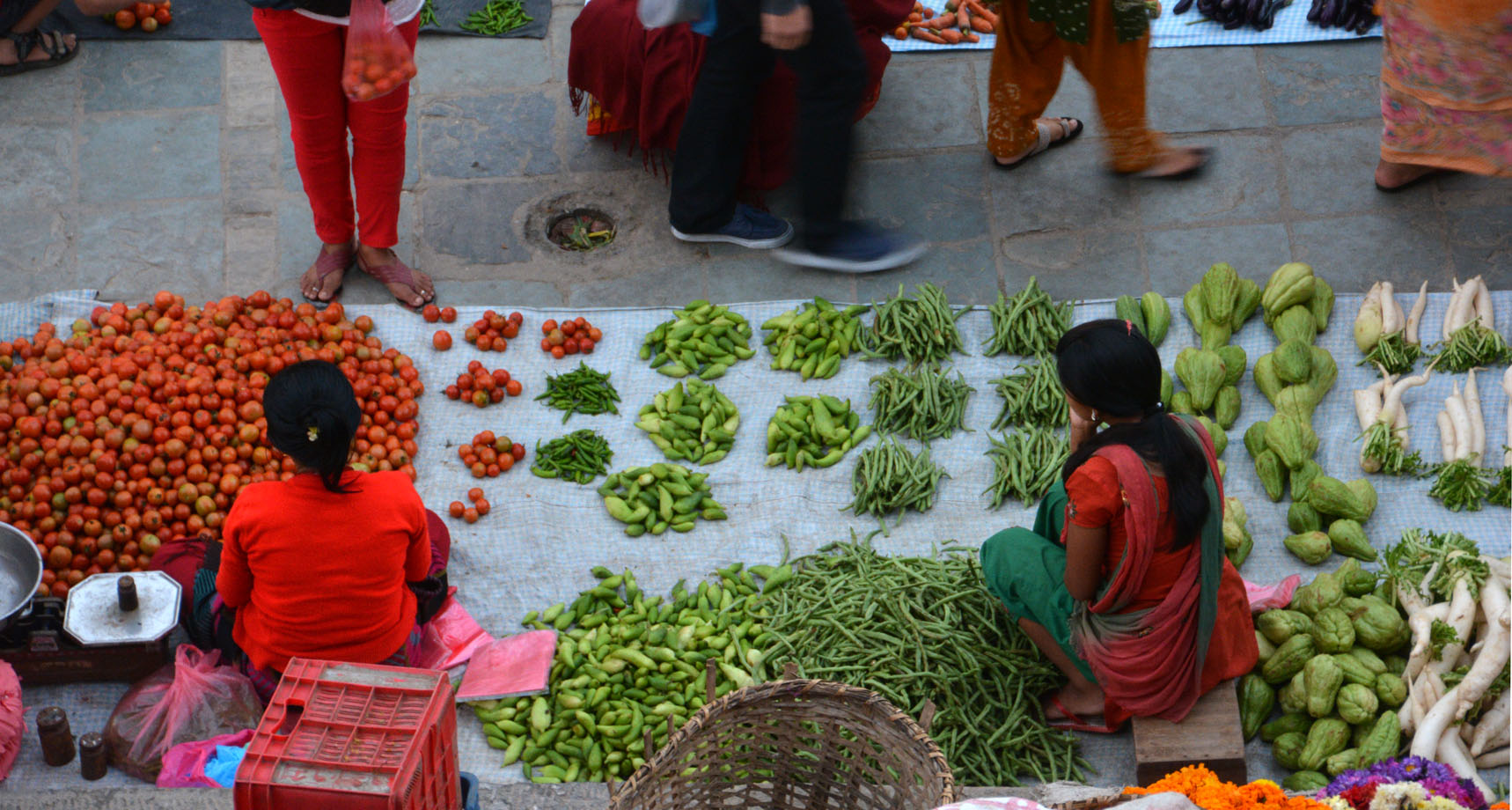
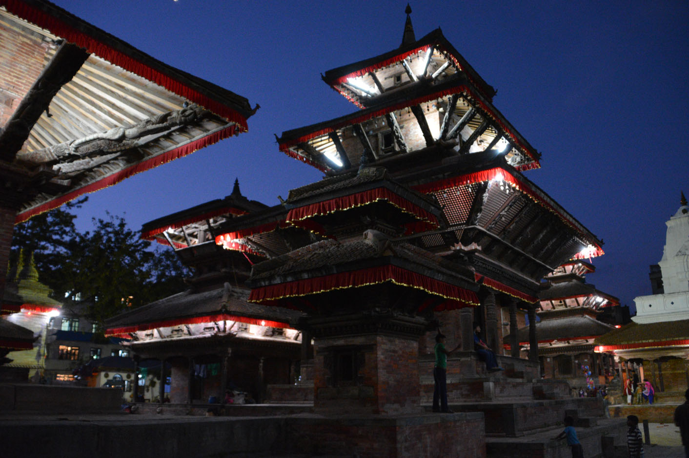
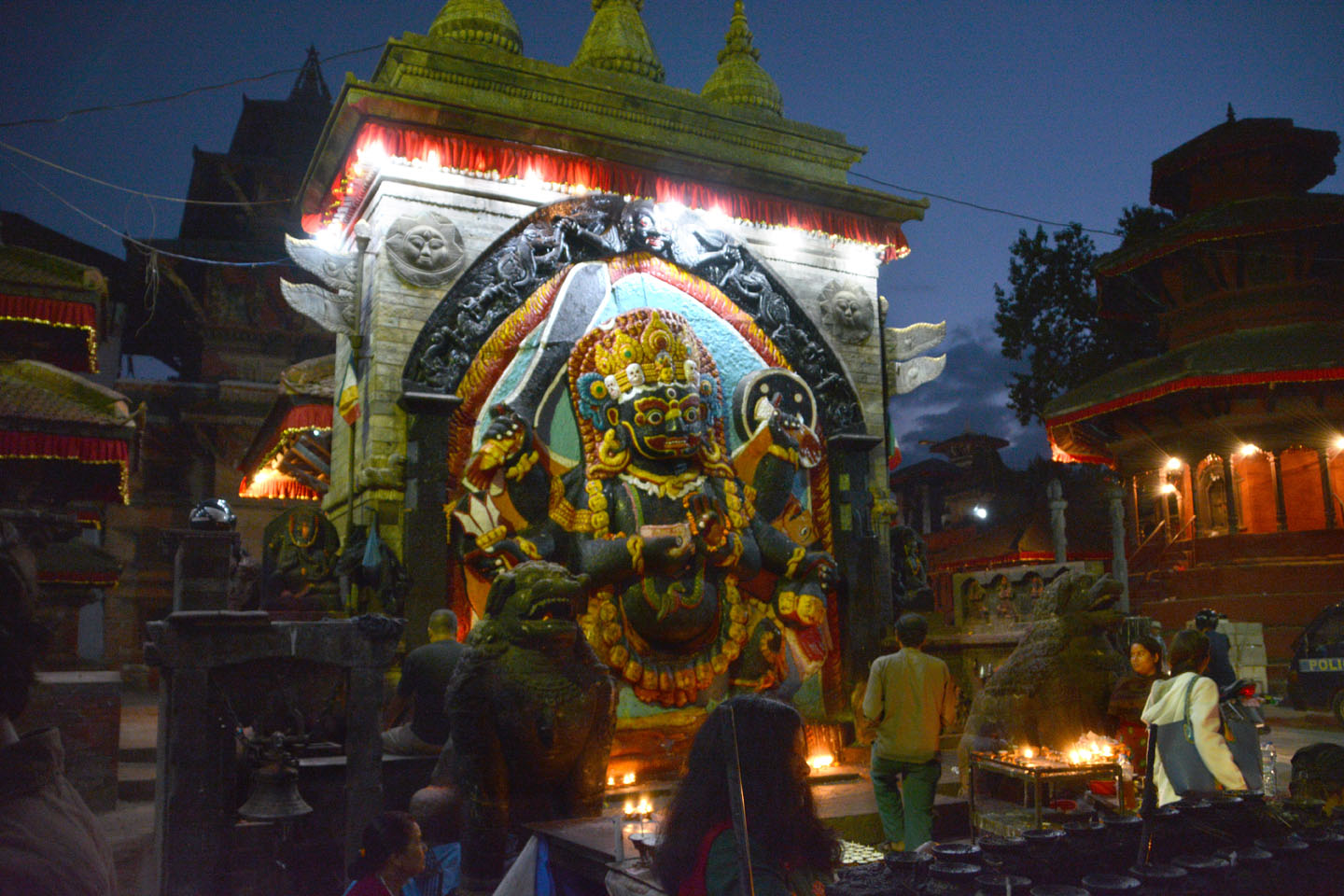
Katmandou
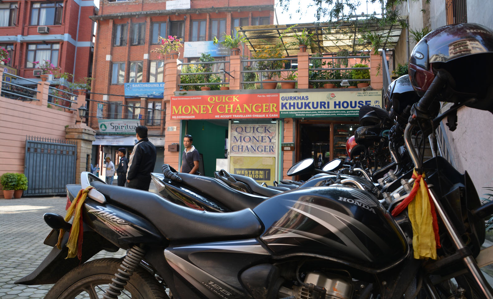
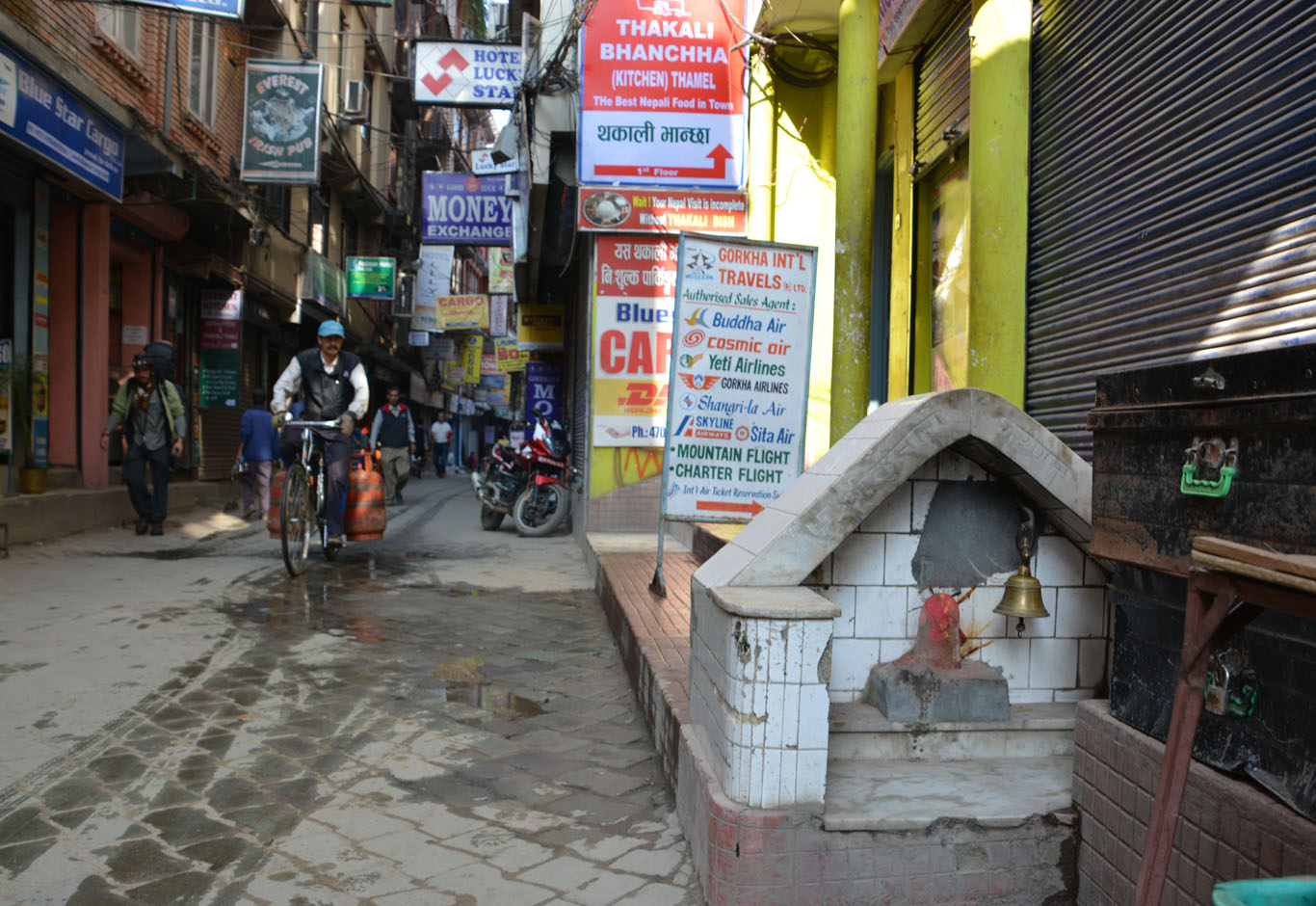
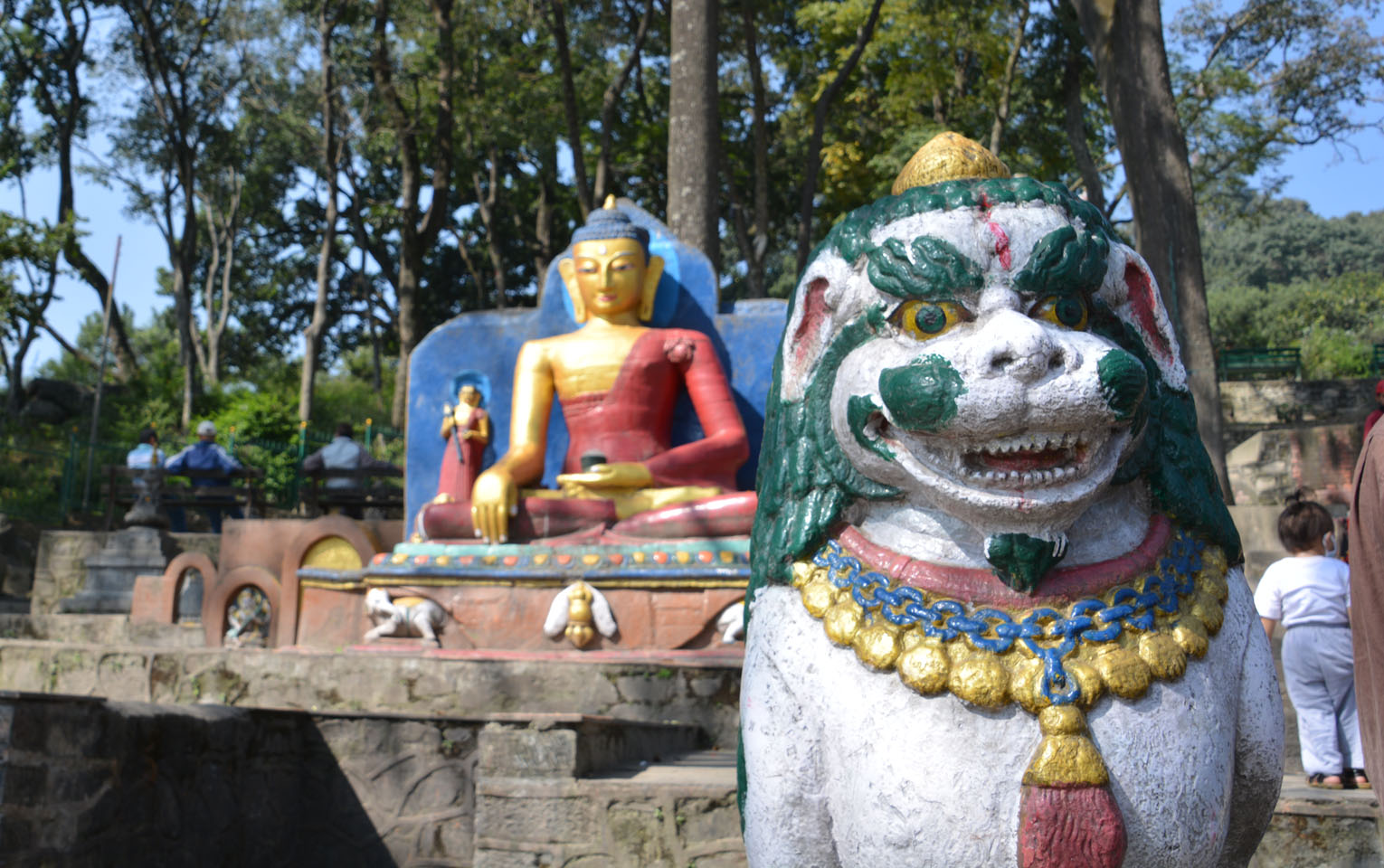
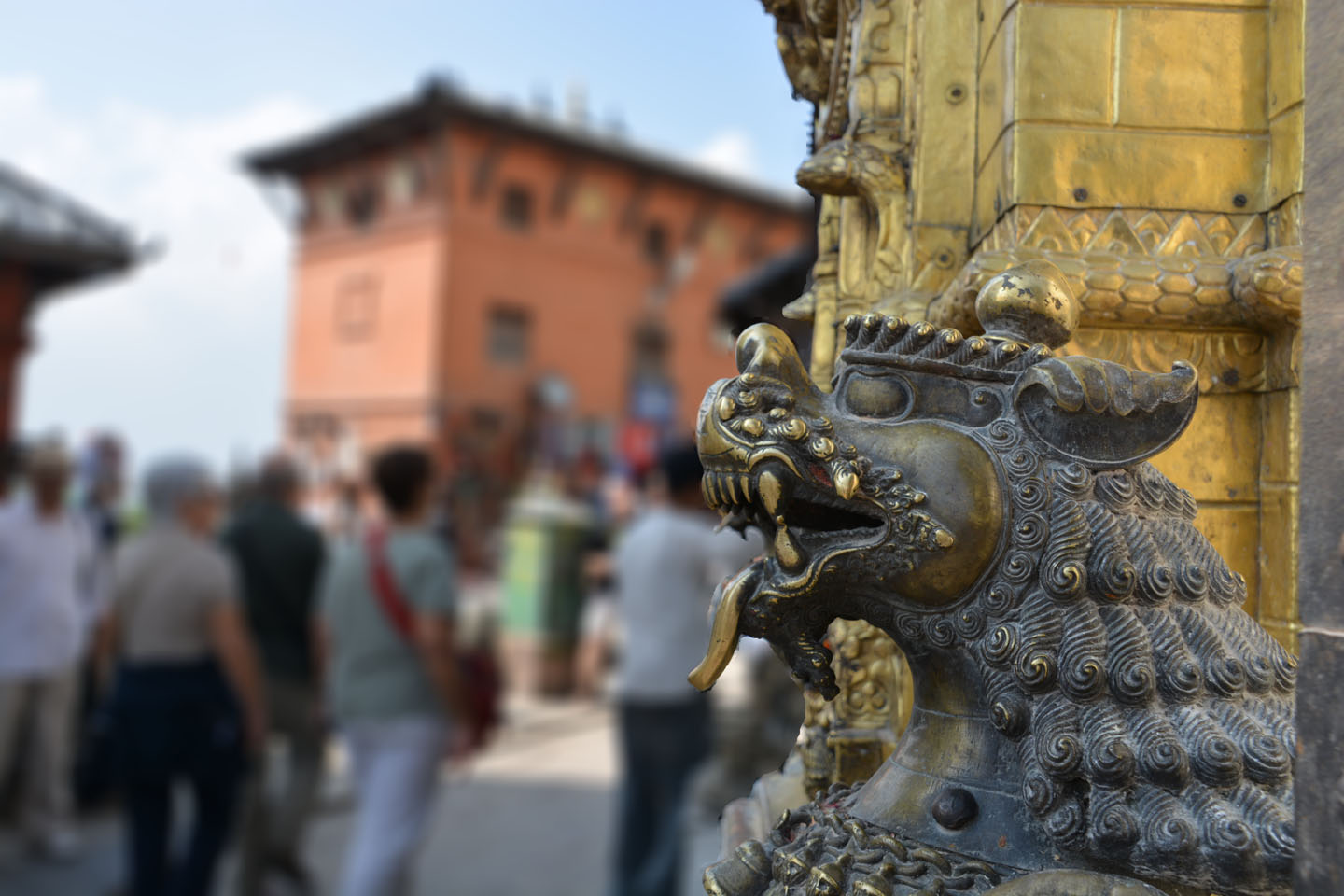
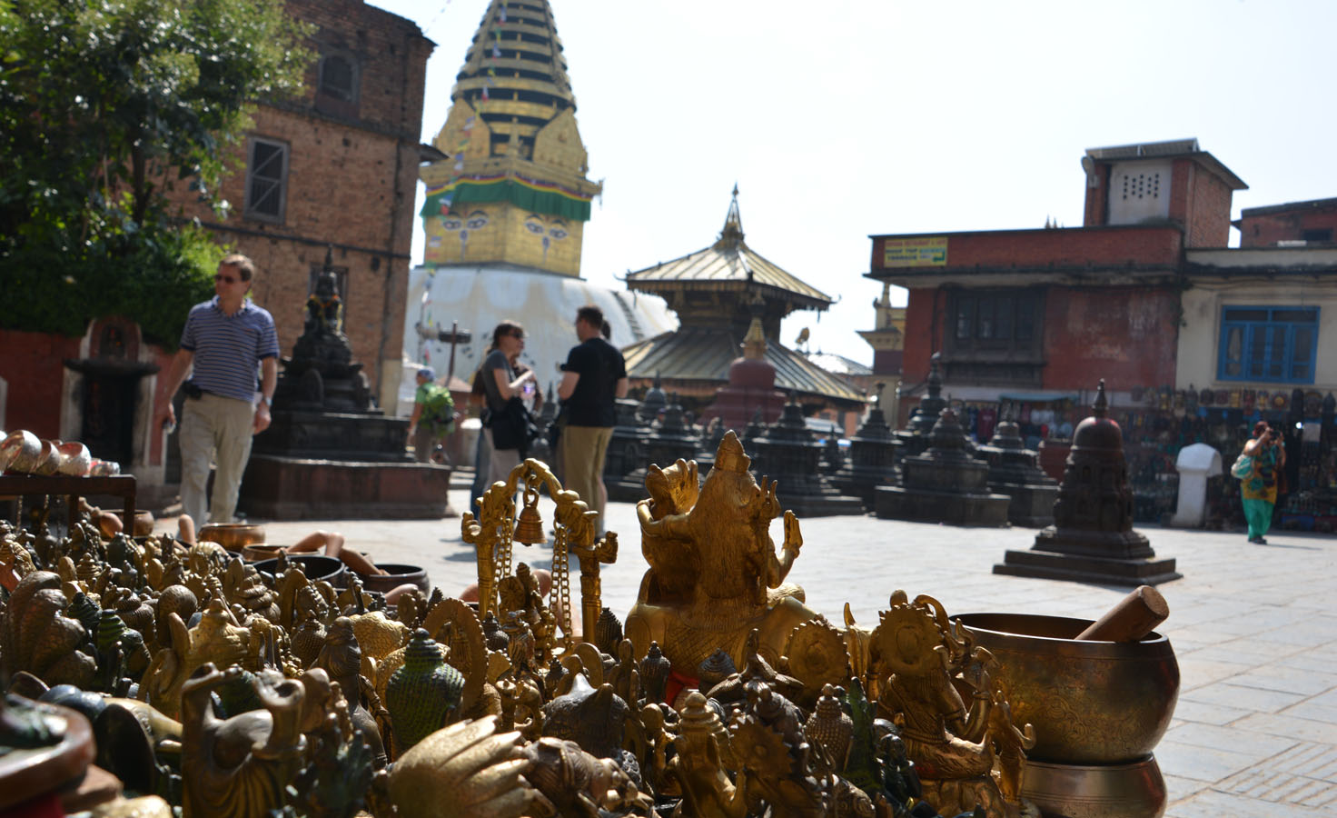
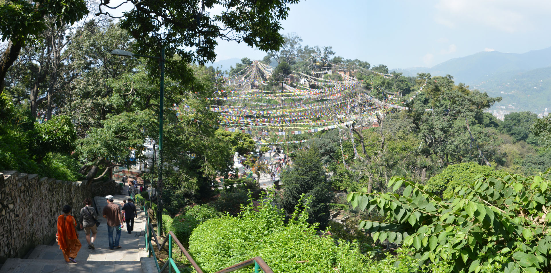
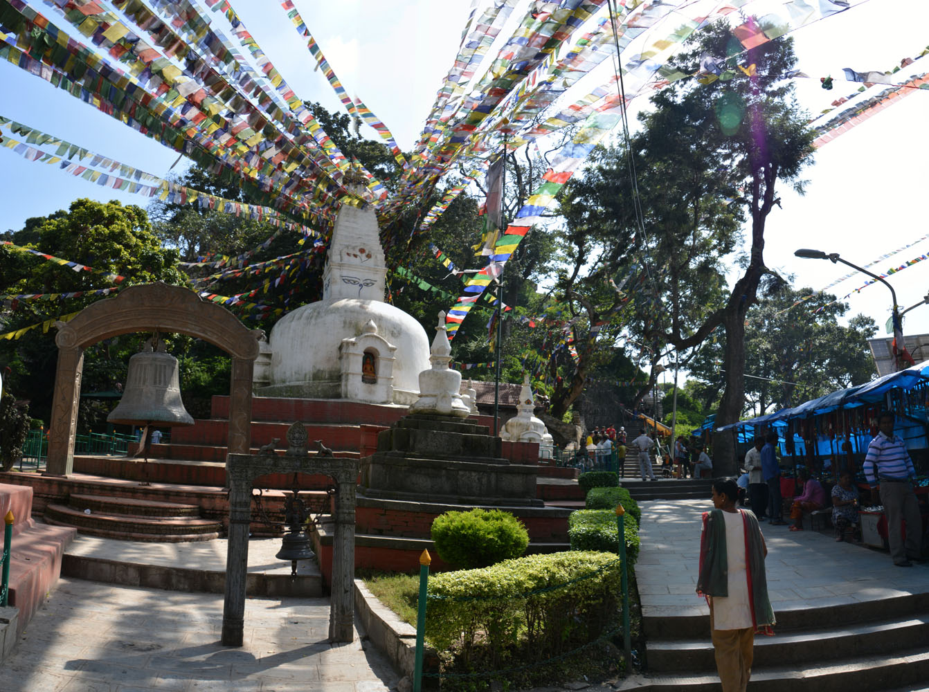
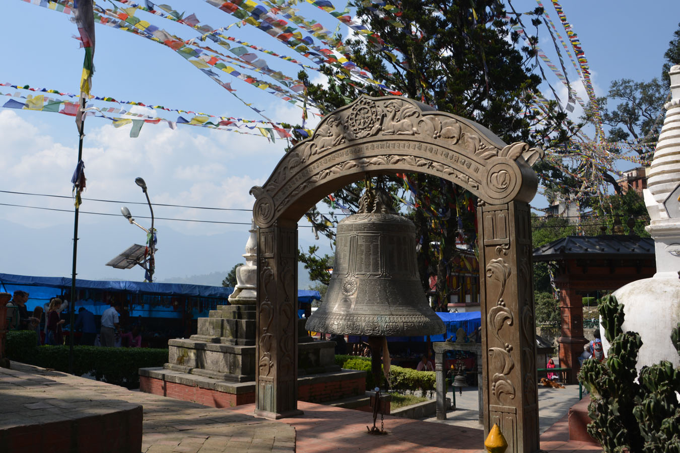
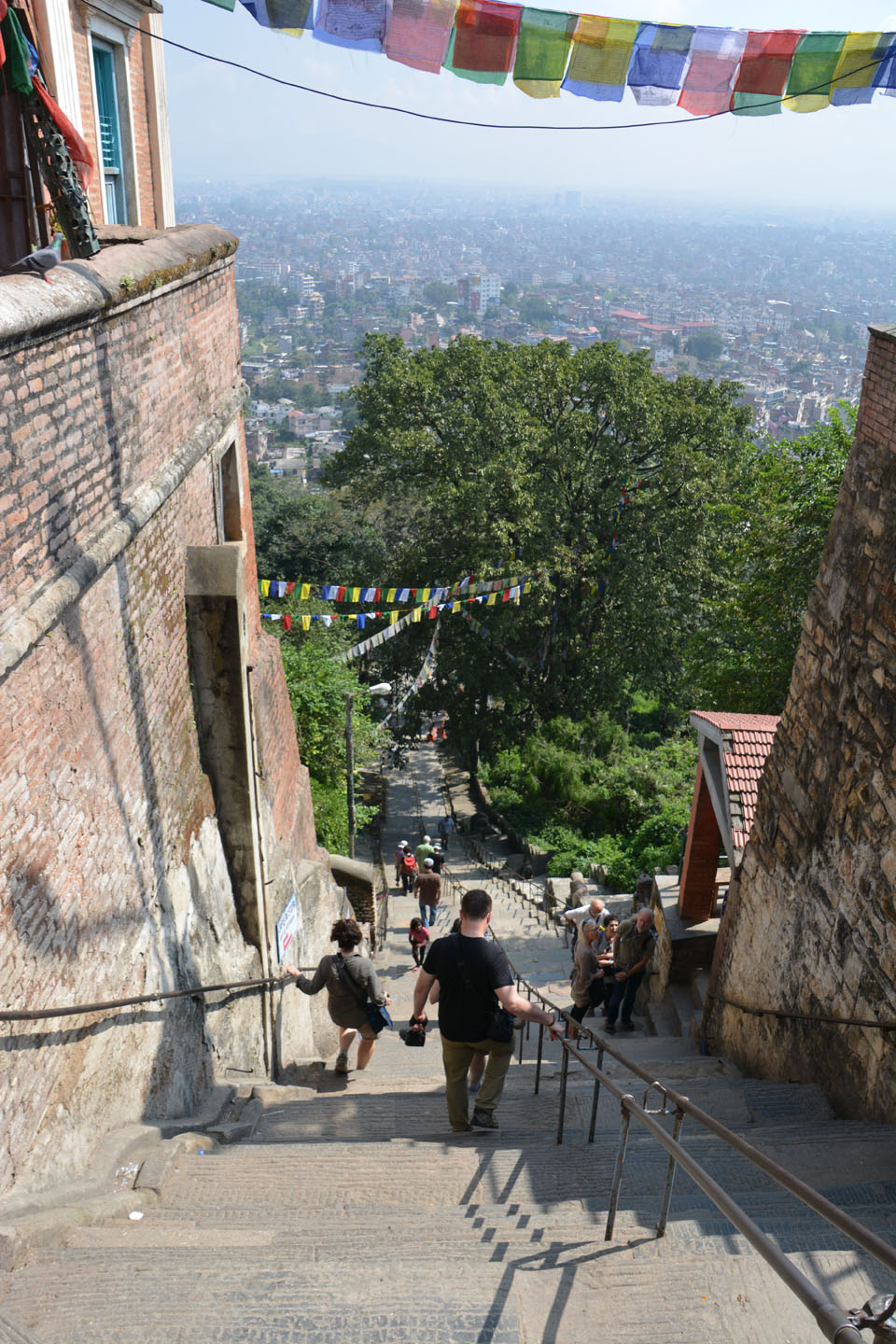
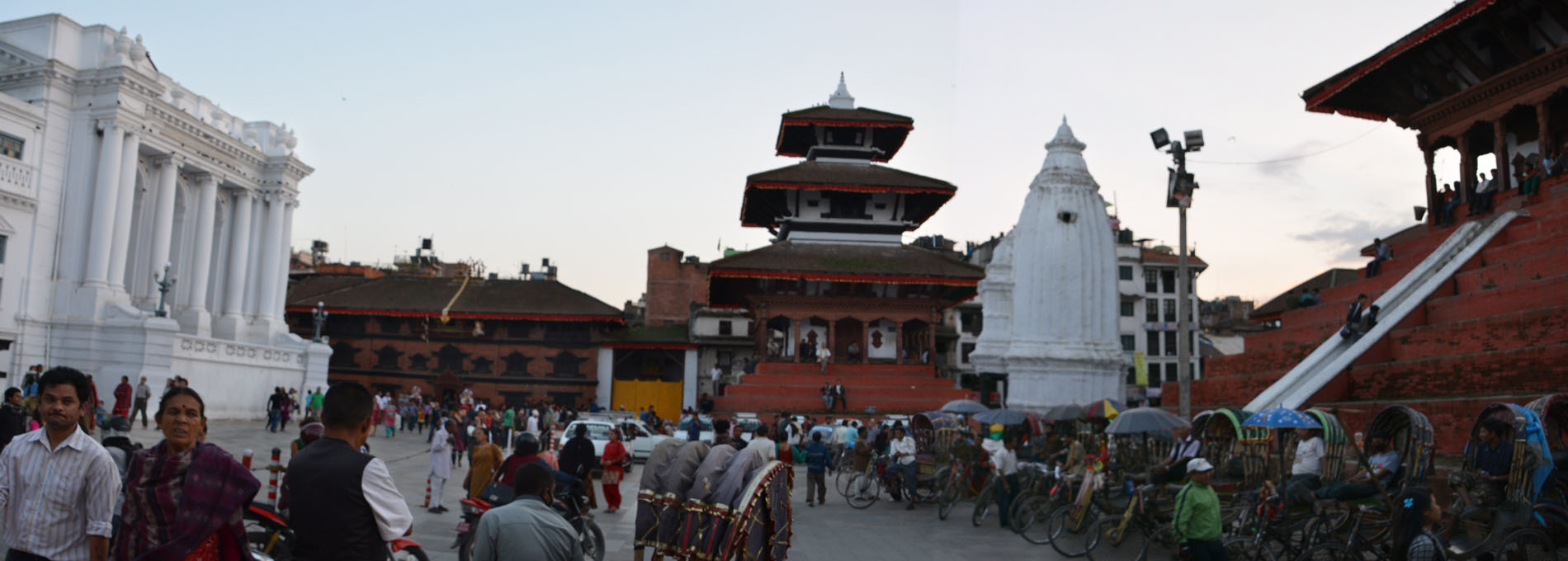
Première journée en sol Népalais. Promenade à pied dans Katmandou. On doit s’habituer à la frénésie qui règne dans ses rues étroites, et à la pollution ambiante. Visite de du site de Swayambhunath au matin et de Durbar Square en fin de journée.


. On comprend pourquoi on ne mange pas de porc ici
!")


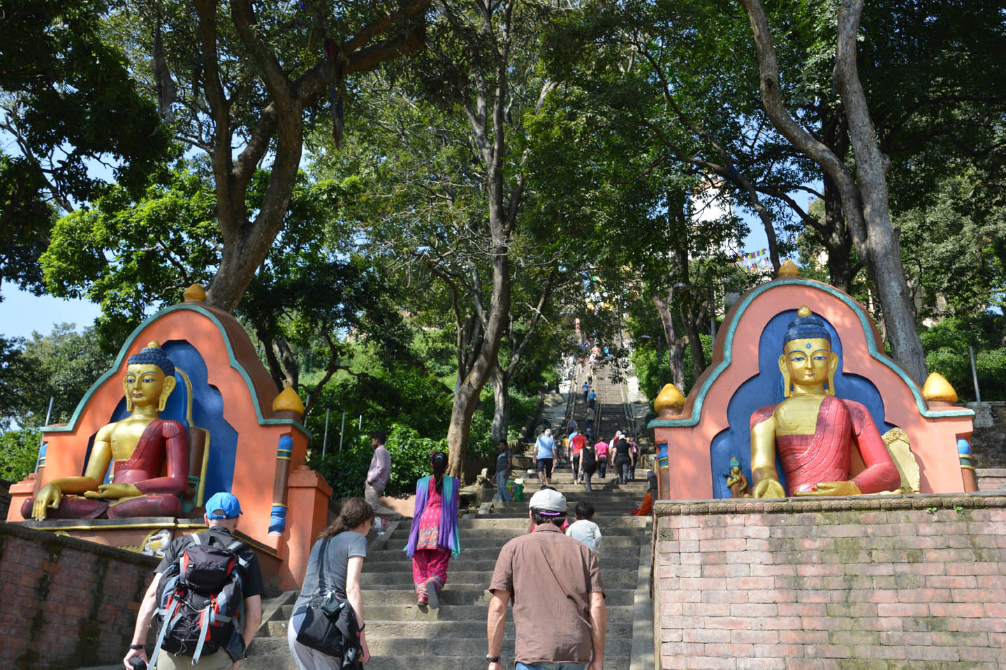
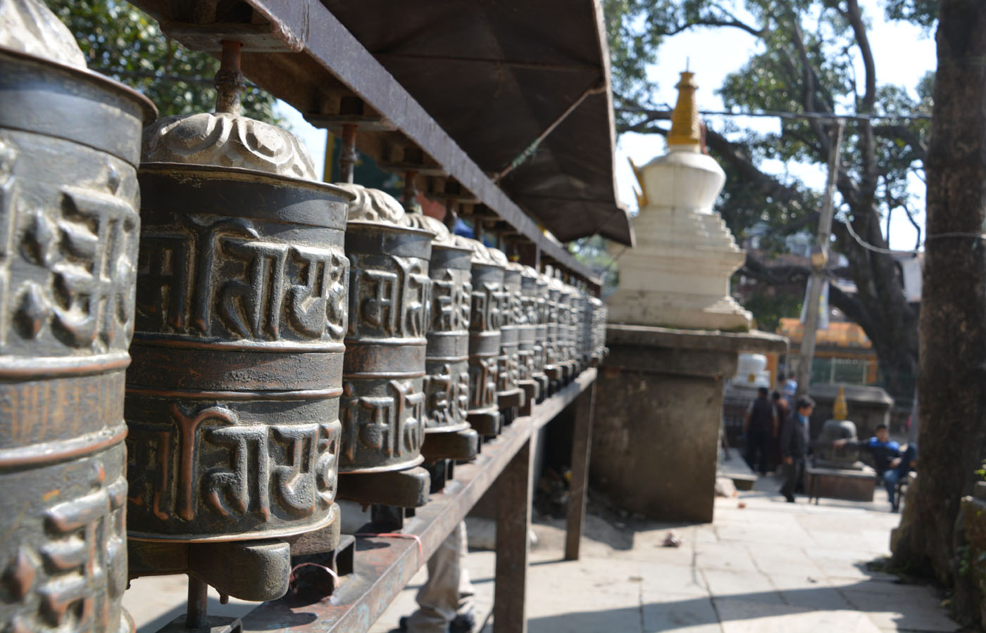

 de Swayambhunath et sa flèche dorée")
, symbole d'unité.")


Népal 2013
Un trek au coeur de l’Himalaya! Un trek de 15 jours au total, qui nous mène vers le MERA Peak. Un sommet de 6476m accessible aux apprentis de la montagne, où nous serons entourés par les plus hauts sommets: Makalu, Cho Oyu, Lhotse, Kanchenjunga, Ama Dablam, Baruntse et Everest.
Le site Karavaniers indique pour ce voyage ‘effort engagé’ et ‘confort rustique’. Difficile d’être plus exact. On en a effectivement monté et monté, puis descendu et puis remonté des marches et des pentes abruptes chaque jour. Pauvres pieds. Quinze jour sans se laver et à dormir en tente humide et givrée. Faut tout de même être un peu givrés! Mais voilà ce qui compense largement: les décors sublimes, la découverte de nouveaux panoramas à chaque détour de sentier, l’accueil chaleureux de nos hôtes Népalais, la bonne humeur de notre équipe et de notre guide, la sensation de se dépasser à chaque moment, et bien plus.
Et puis le sommet? À ça, c’est toute une histoire!
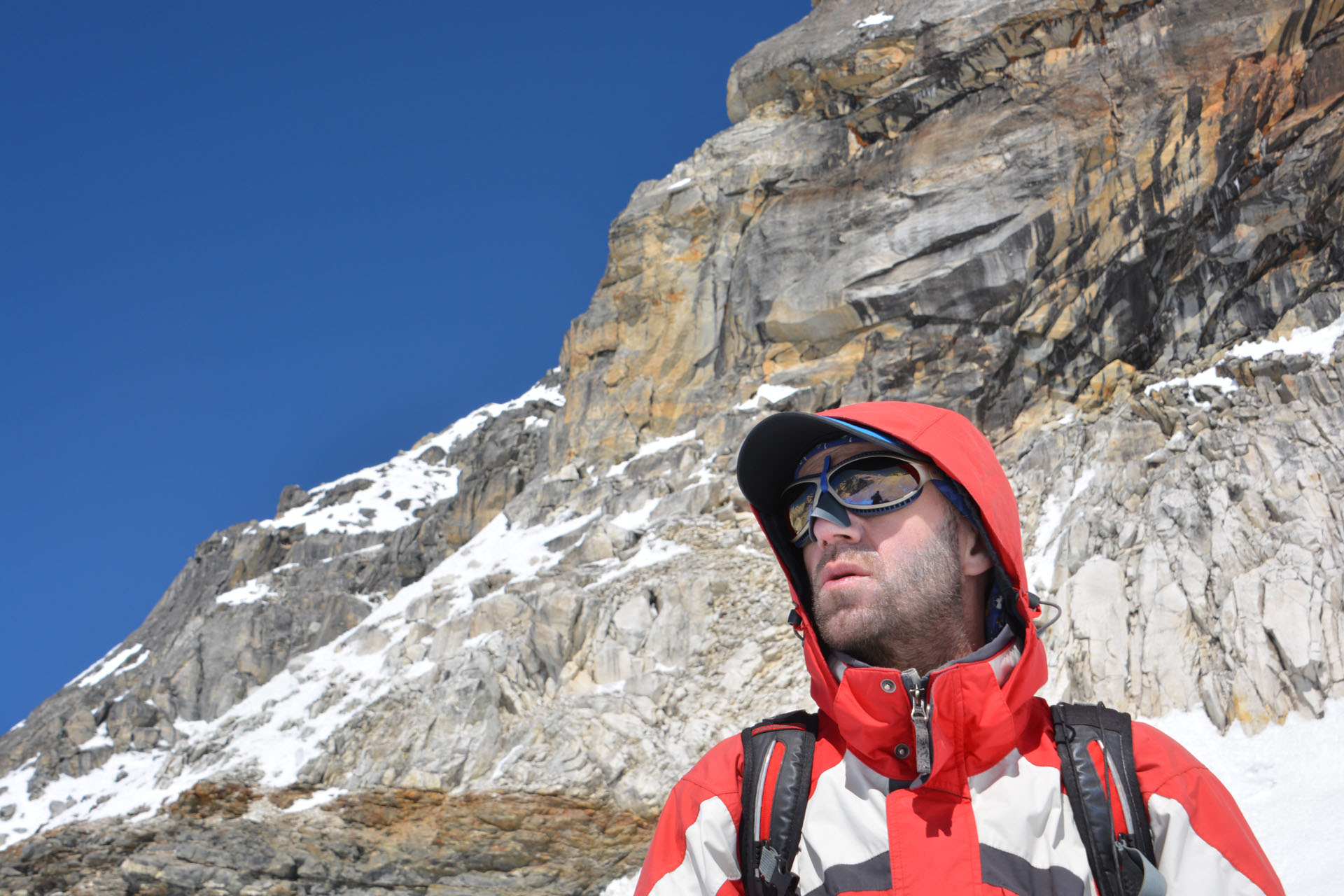
Matériel photo:
– Nikon D5200, lentille TAMRON 18-270mm (voyage inaugural pour cet appareil)
– Canon Powershot Elph 300HS (camera compacte pour quelques clichés)

.")


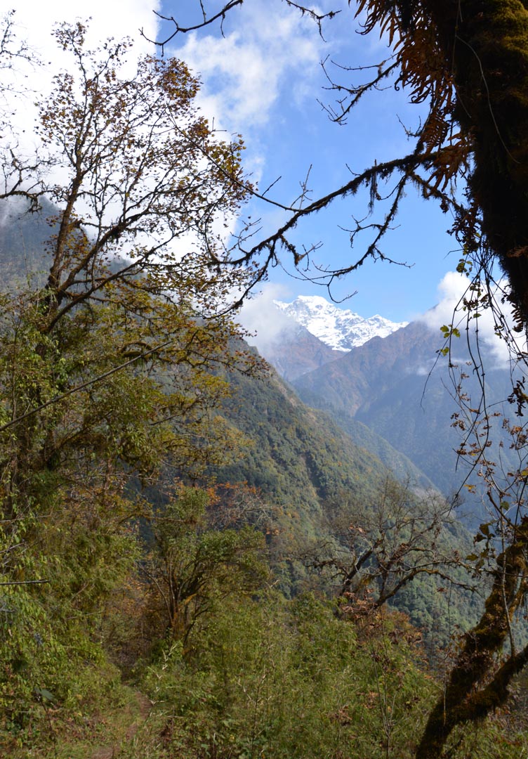
, et à gauche, plus loin dans les nuages, l'Everest (8850m) et le Lhotse (8501m)")

.")
")


 au petit matin.")


.")


