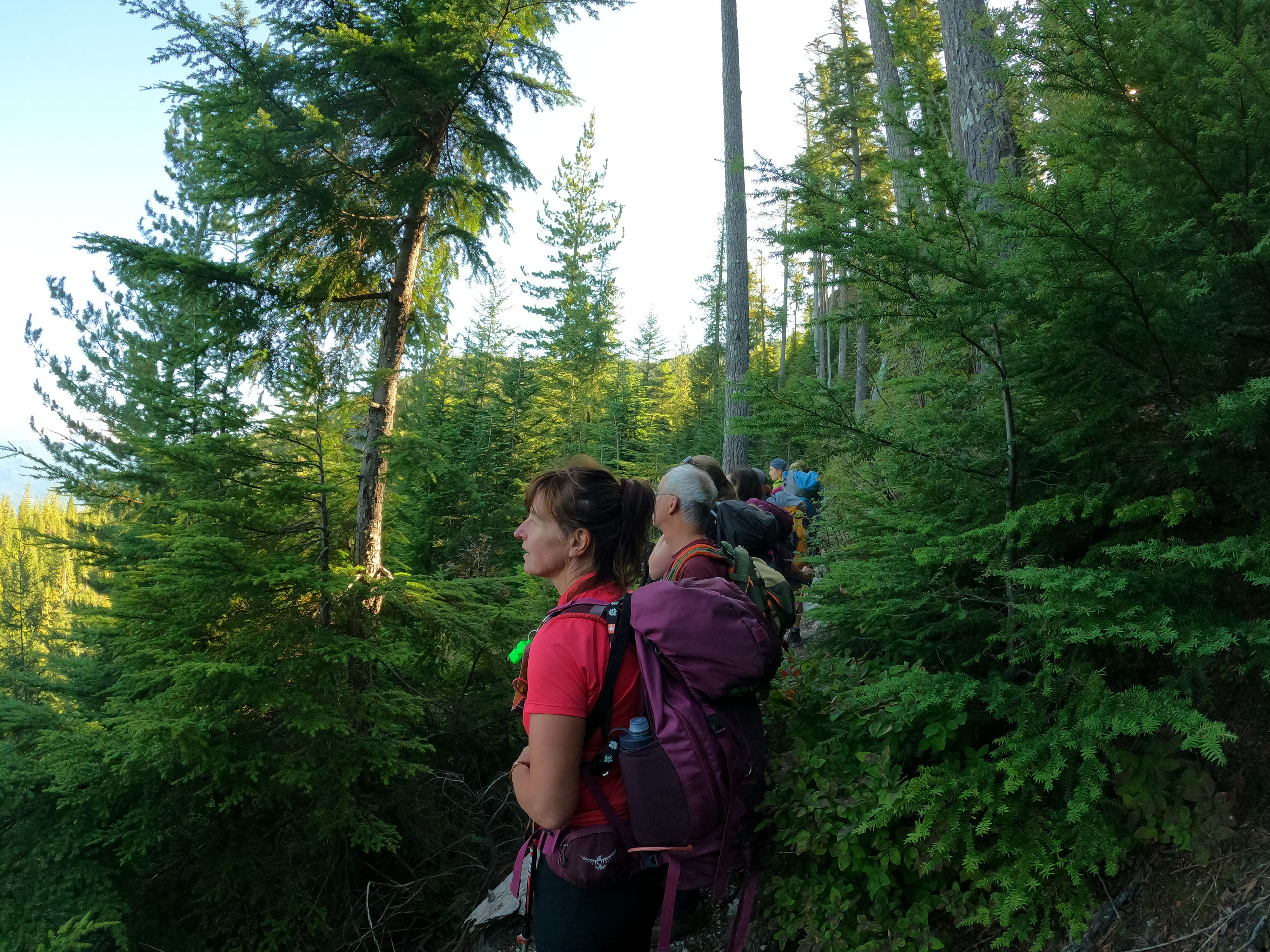


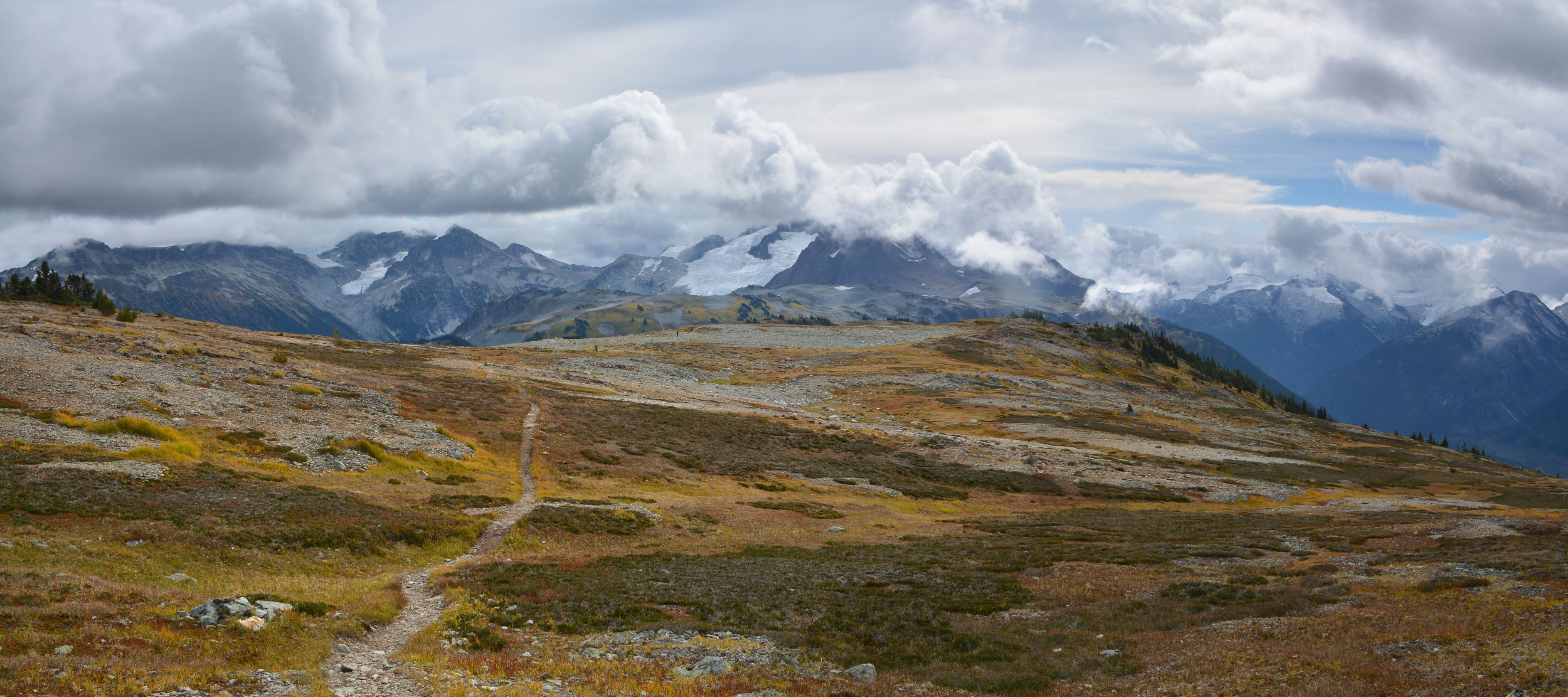
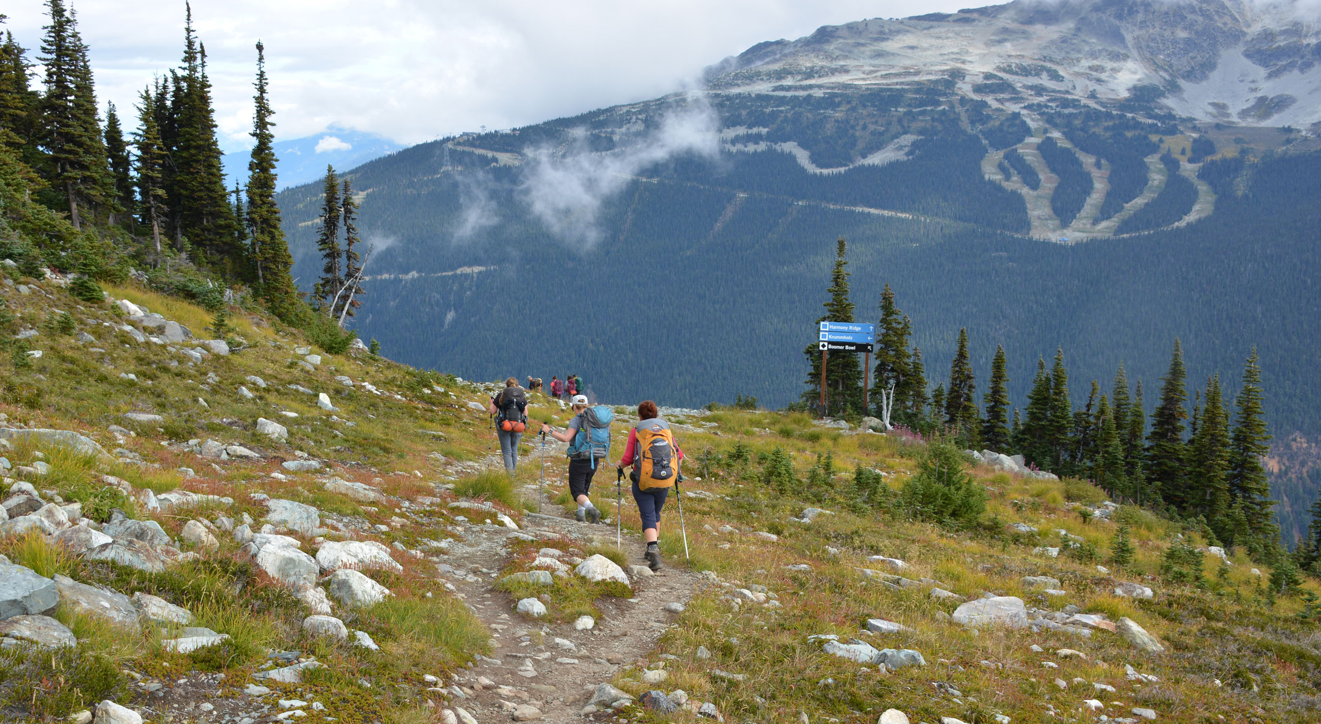
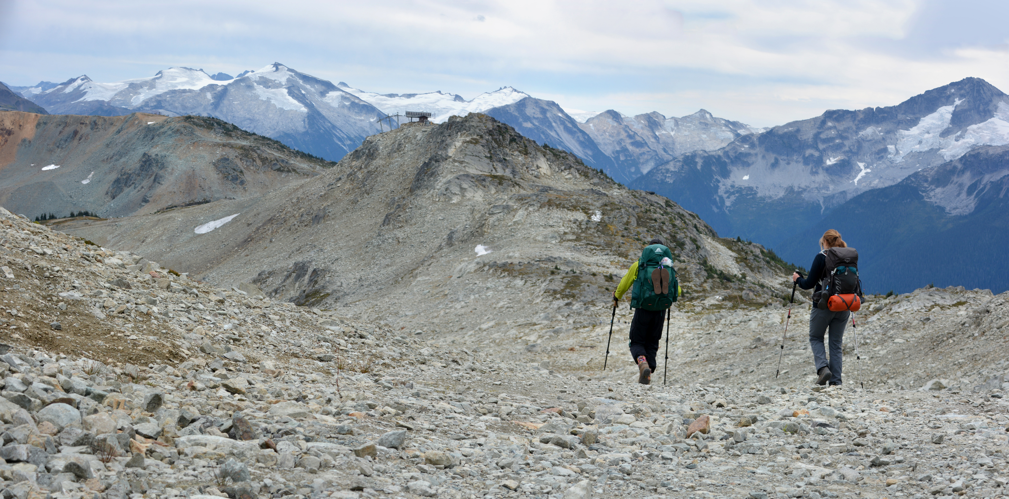
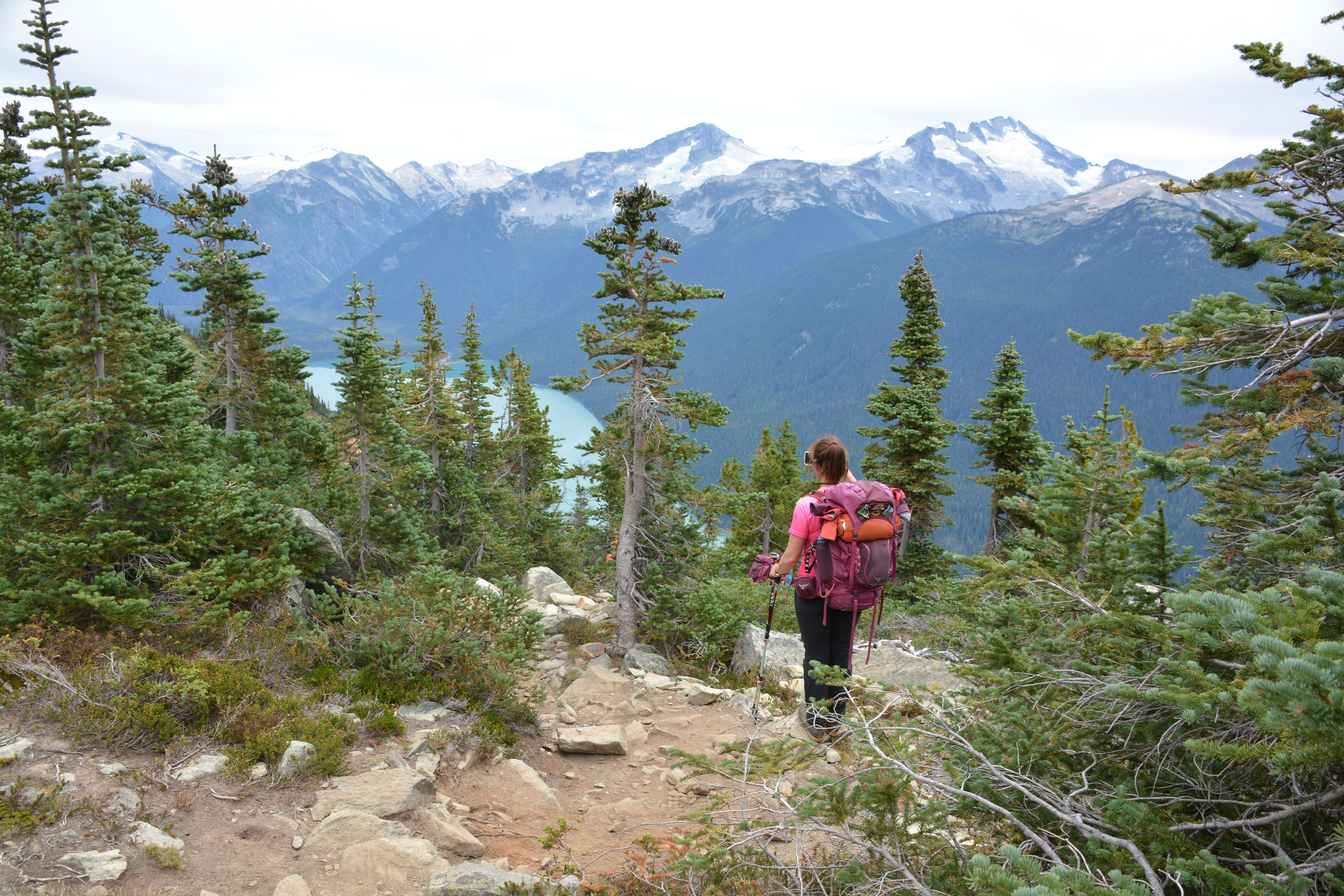
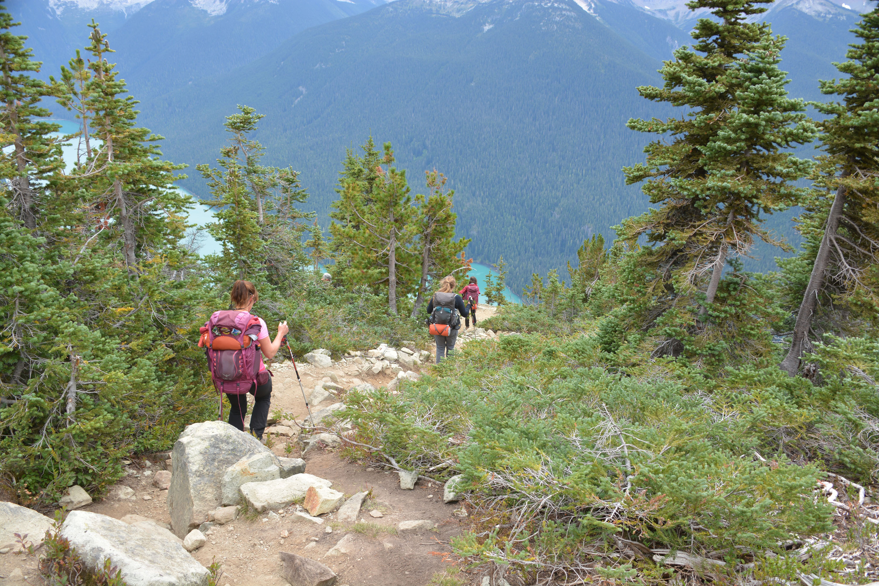
High Note Trail 2 – Whistler
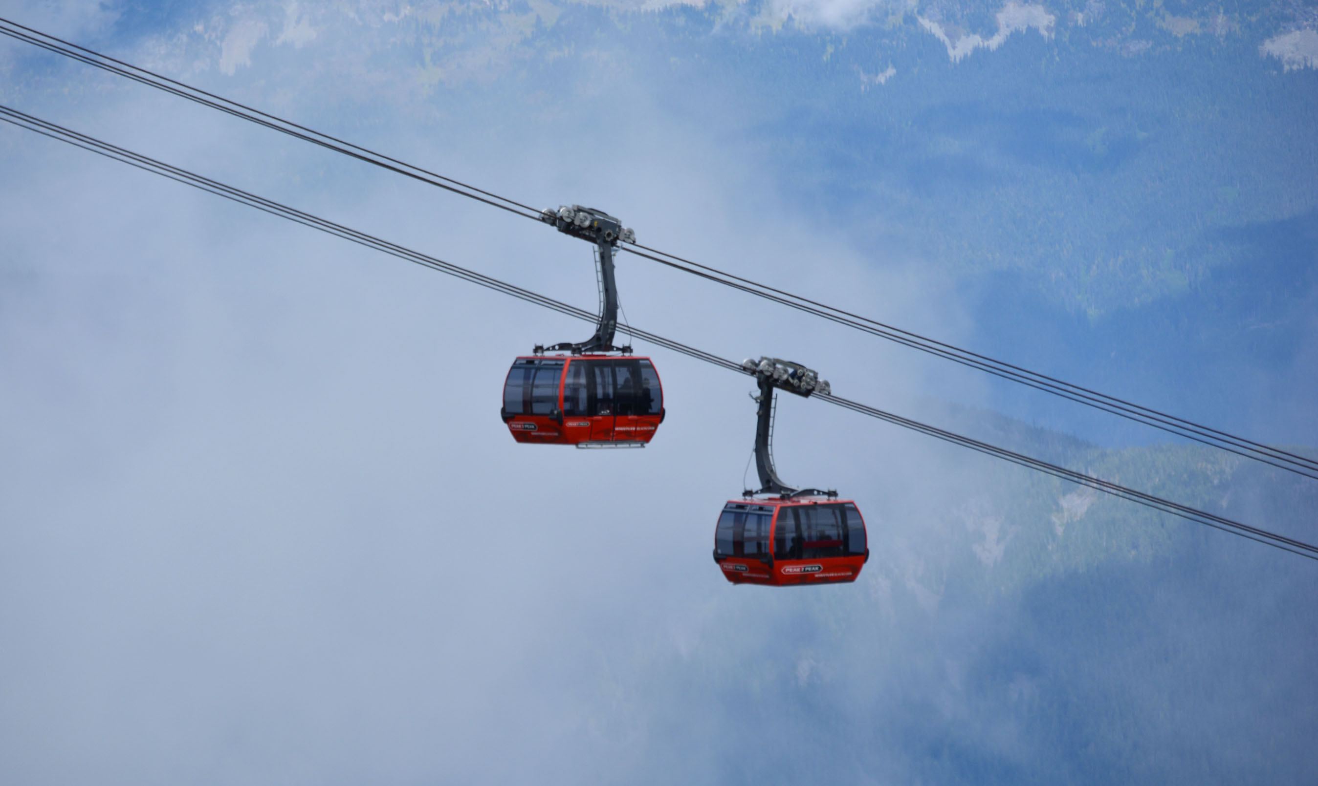
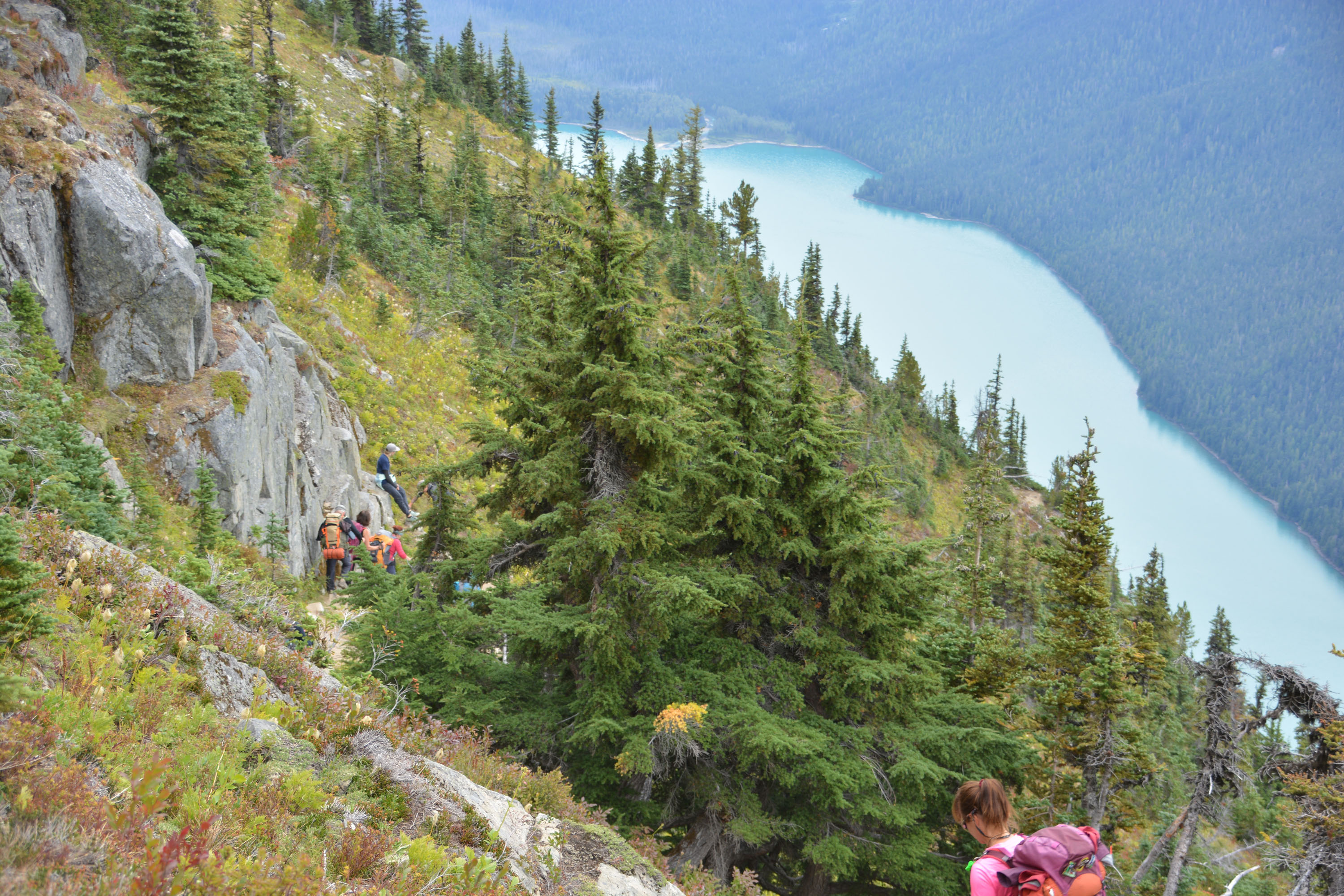
Dernière journée de rando. Nous quittons le refuge et retournons vers Whistler. Au retour nous prenons une portion différente du ‘High Note Trail’ ce qui nous permet de boucler la boucle jusqu’au téléphérique Peak 2 Peak. C’est d’ailleurs la dernière journée où les téléphériques sont en opération pour la saison de rando. Une fois de retour sur le ‘plancher des vaches’ à Whistler, on prend la route vers Vancouver où nous allons manger ce soir.


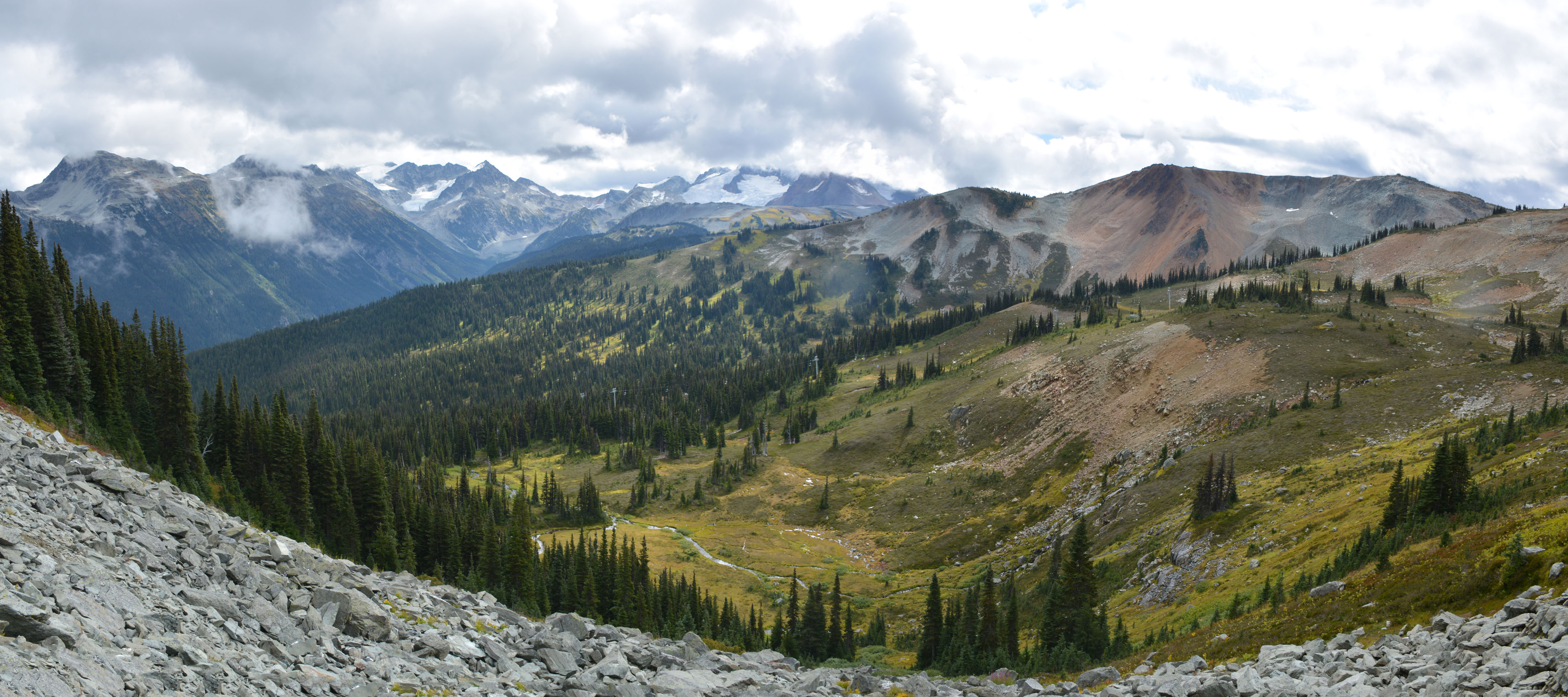


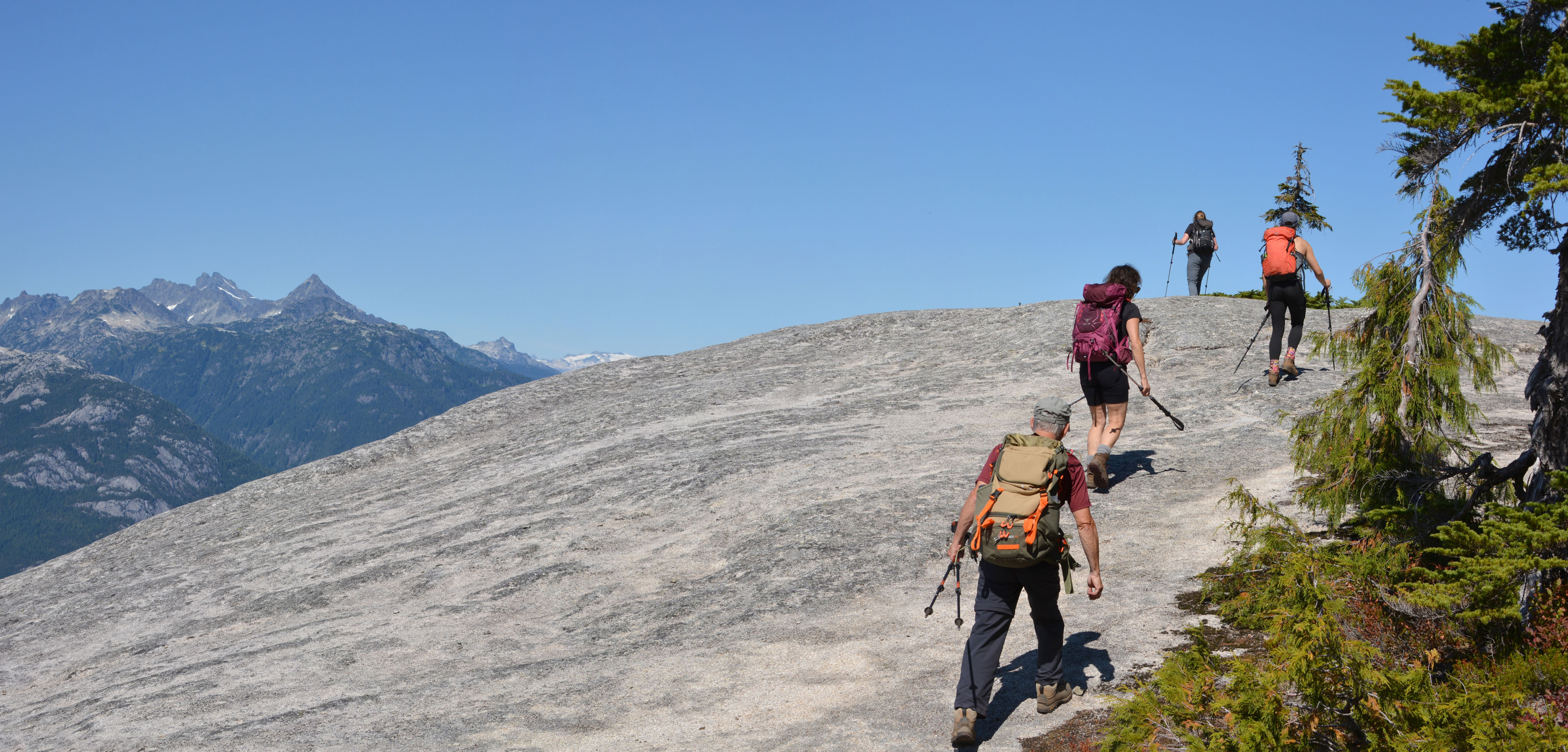
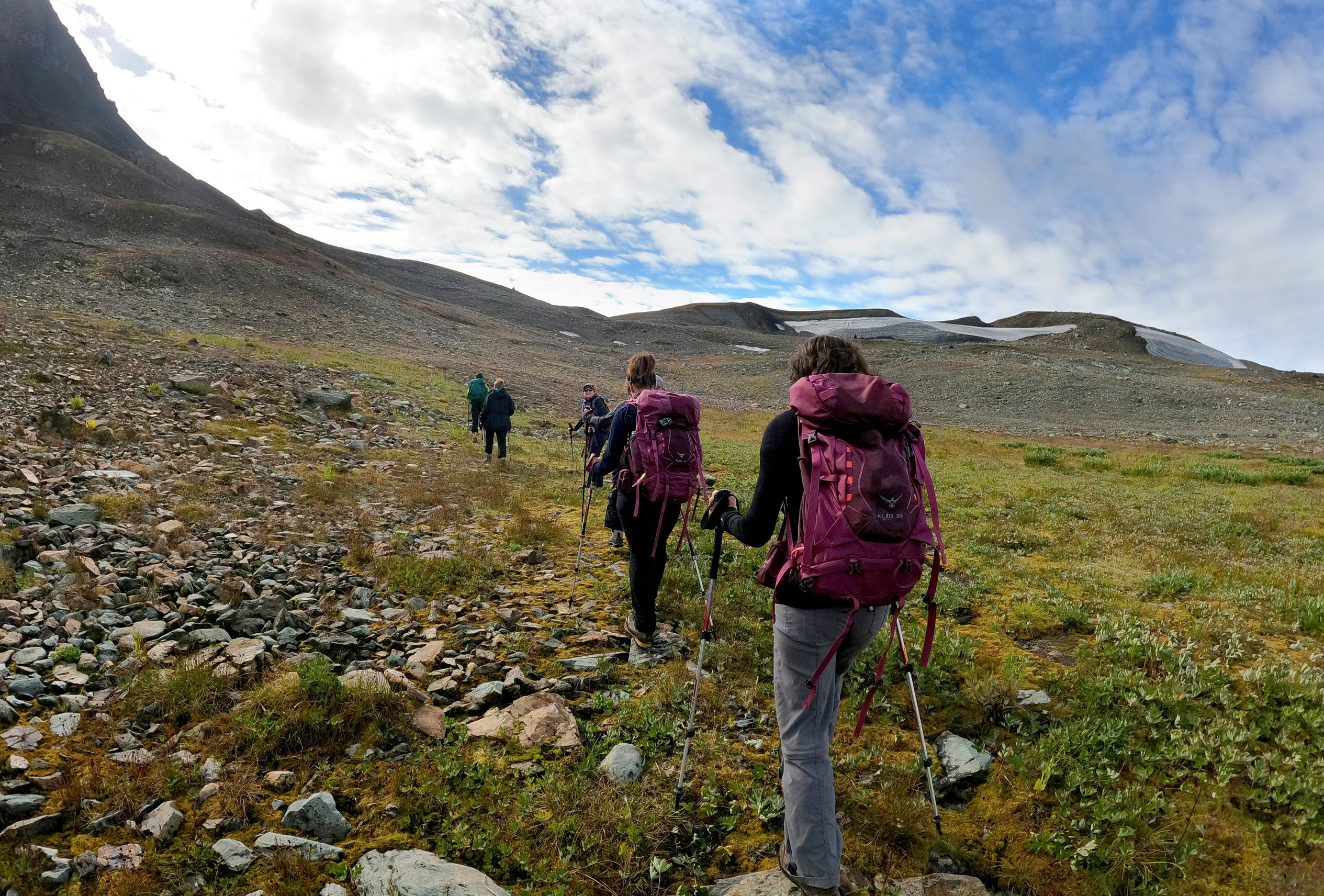
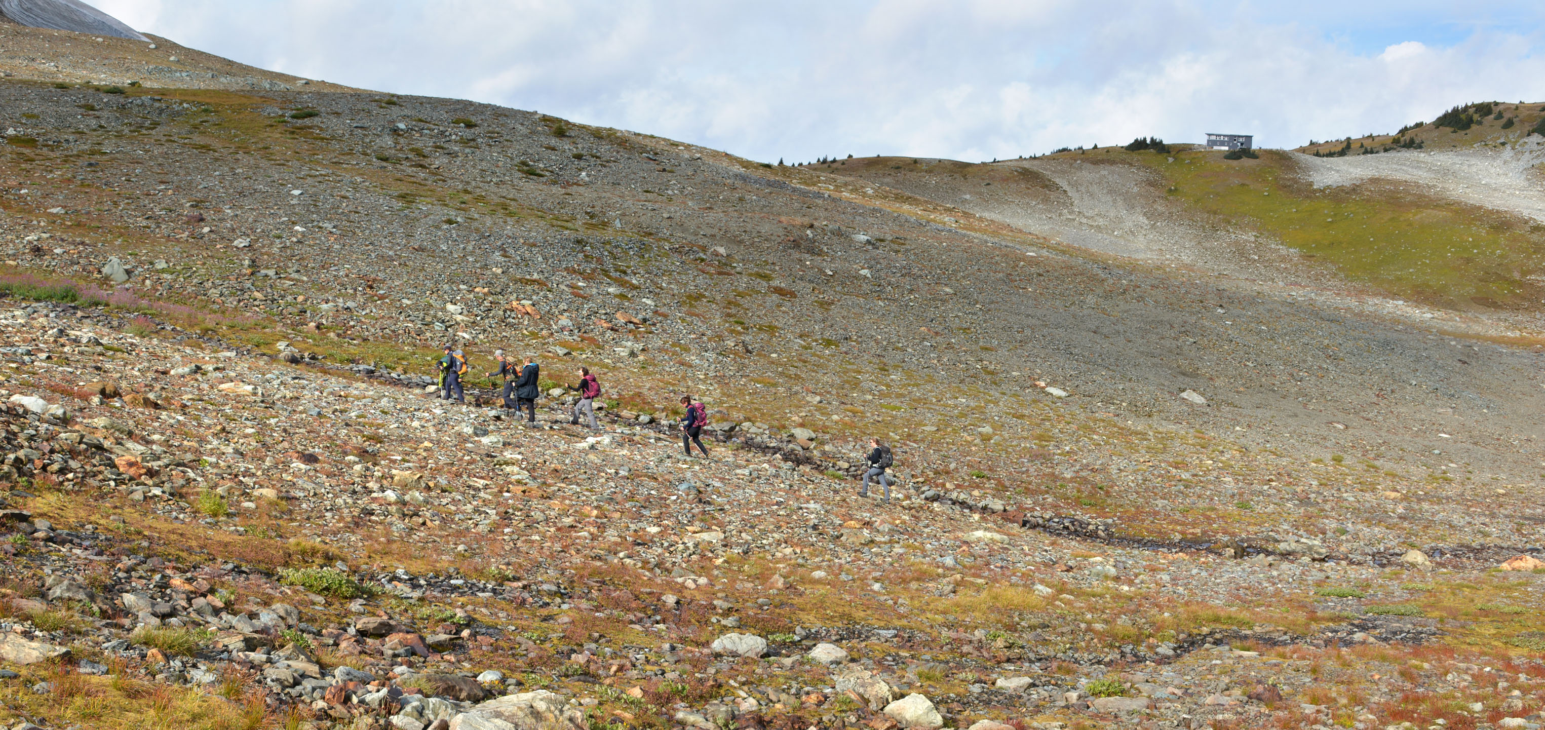
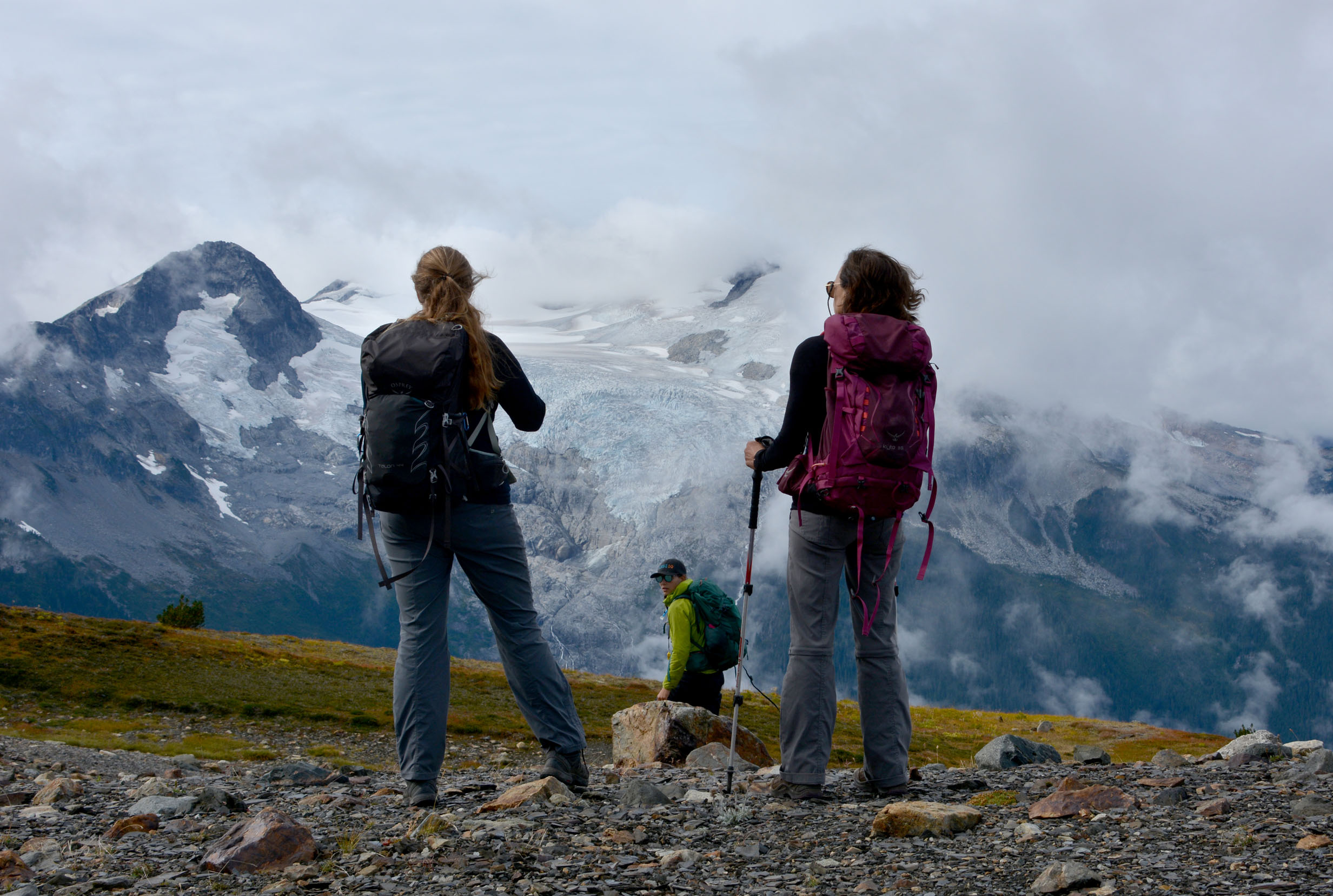
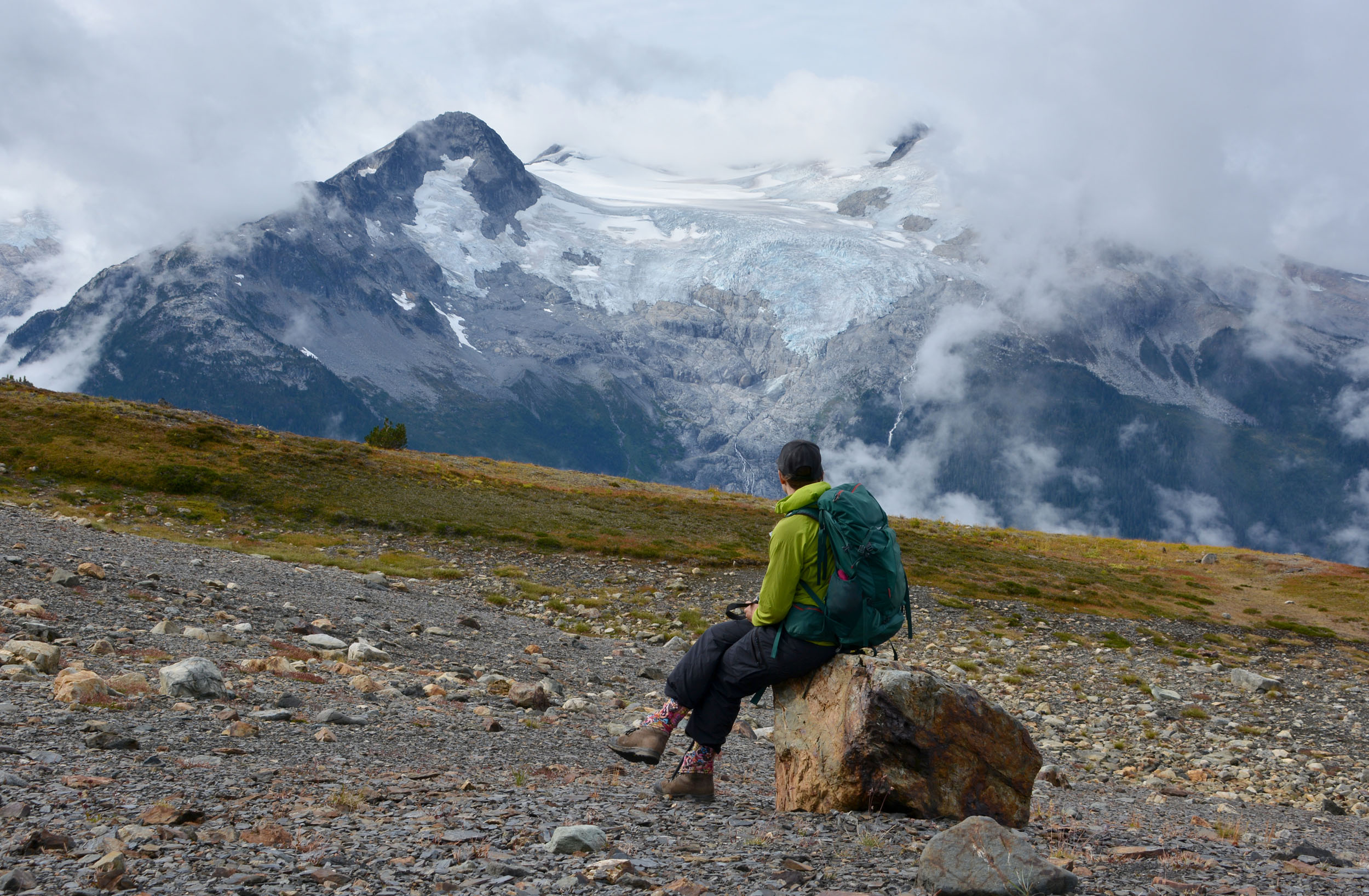
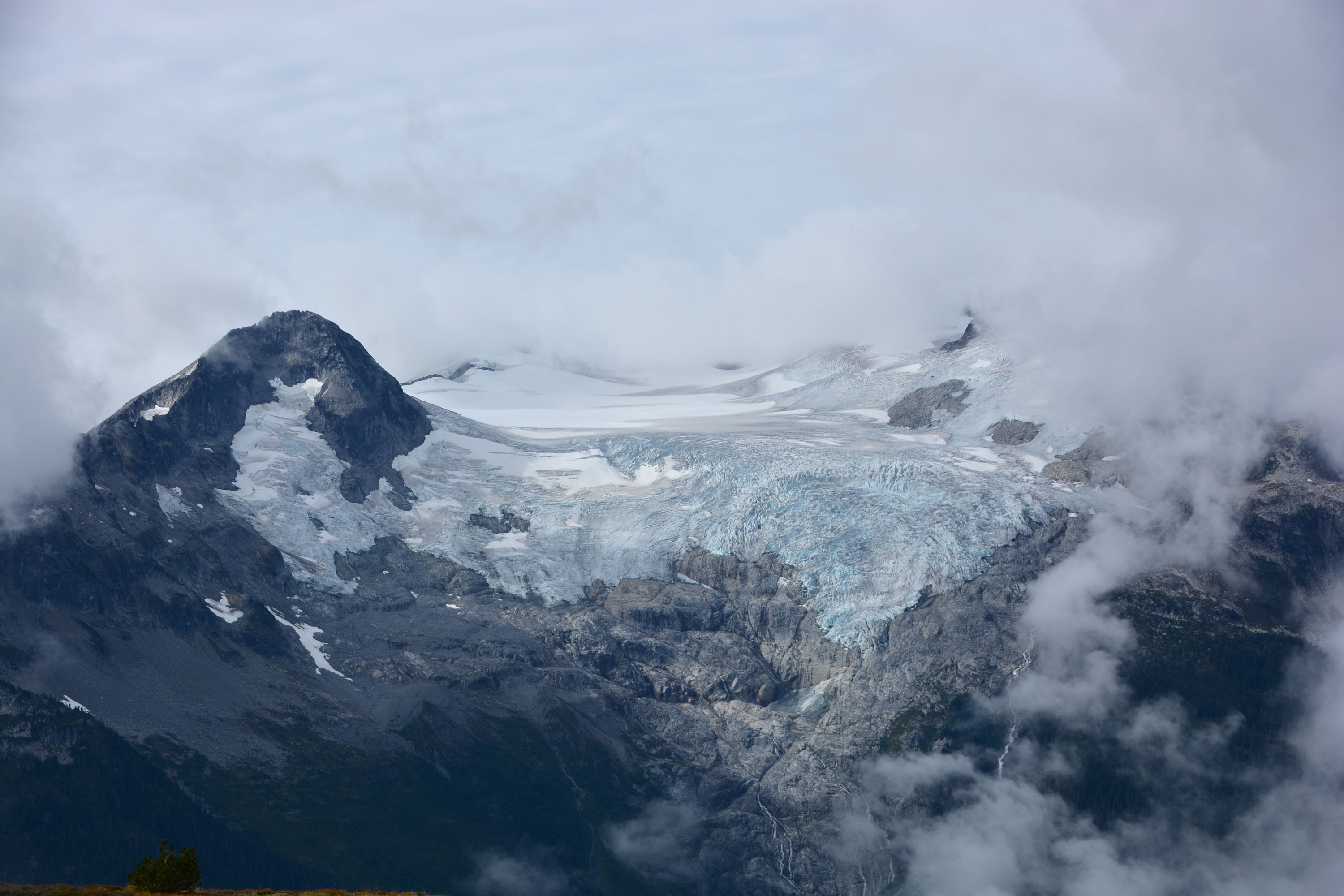
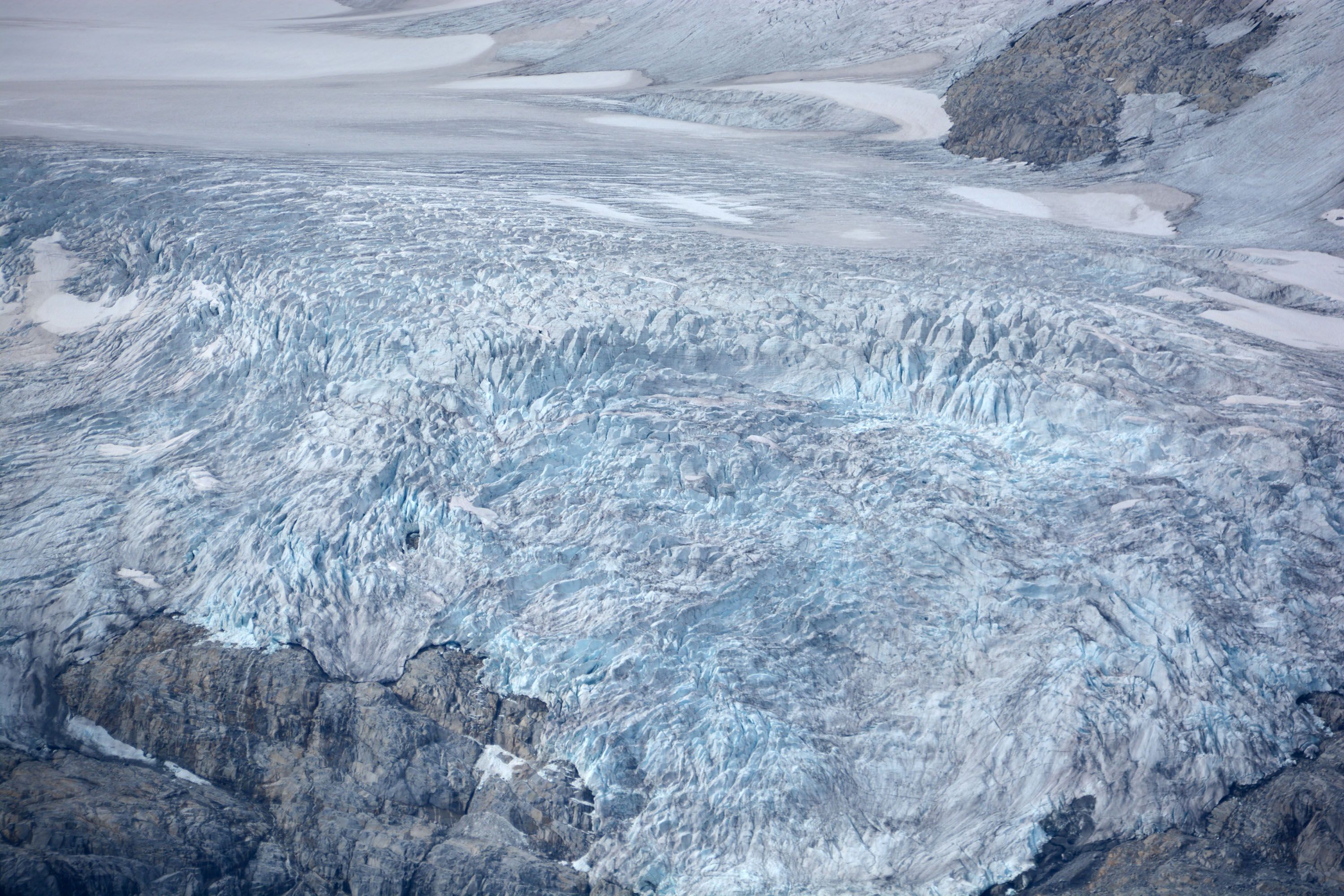
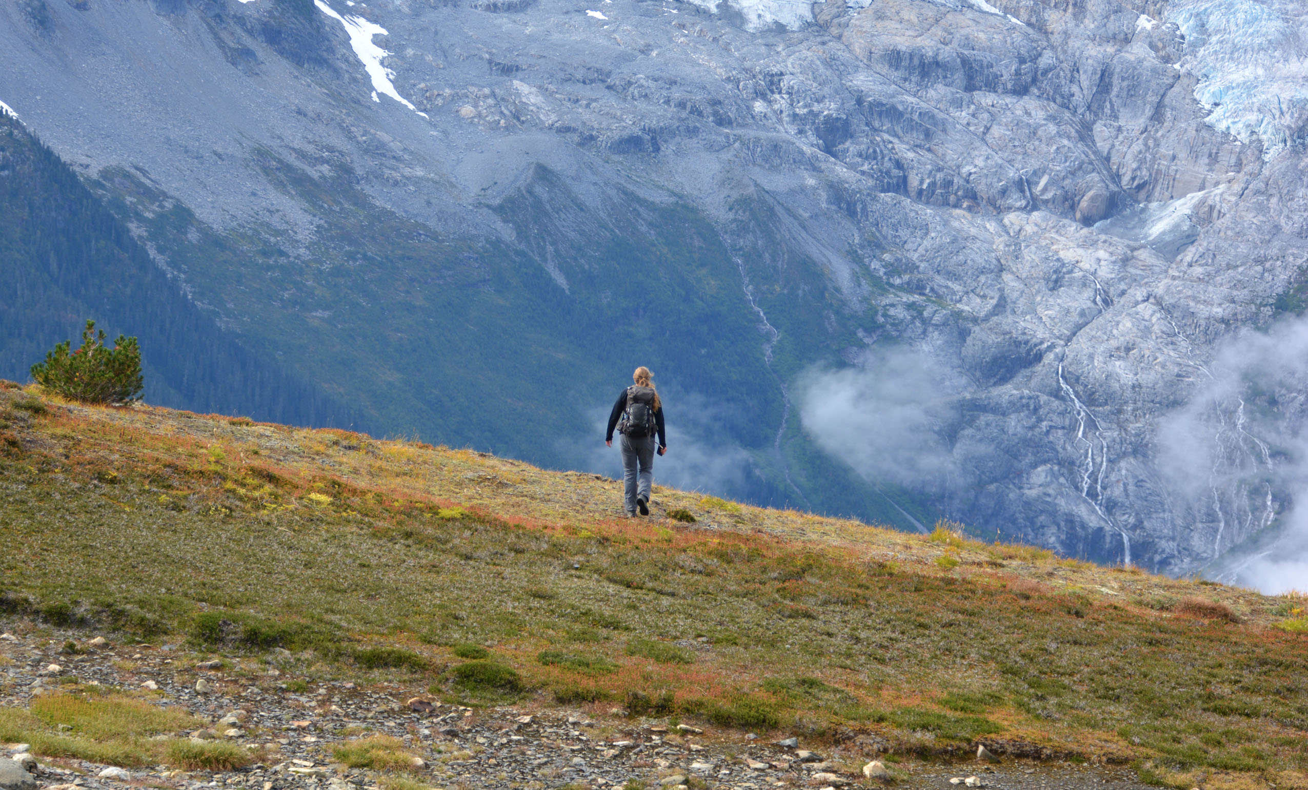
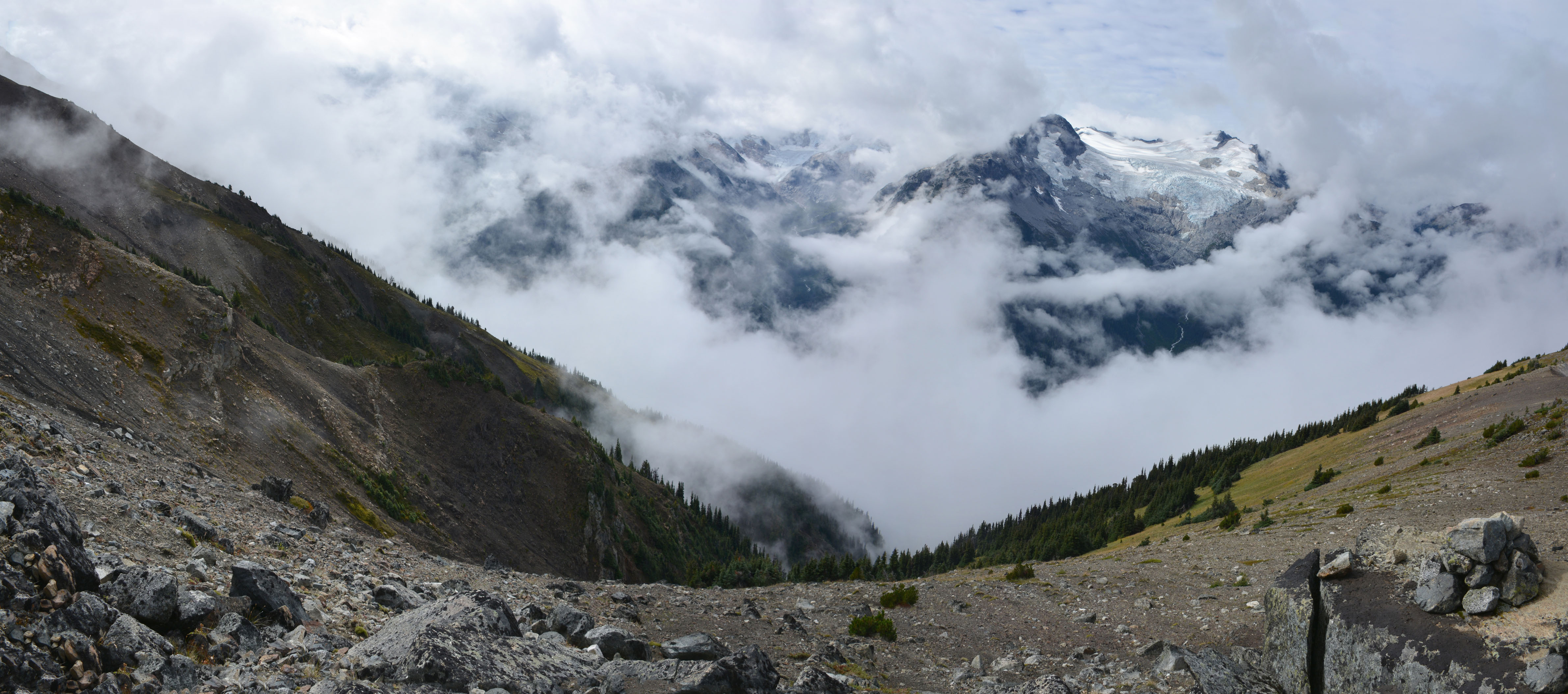
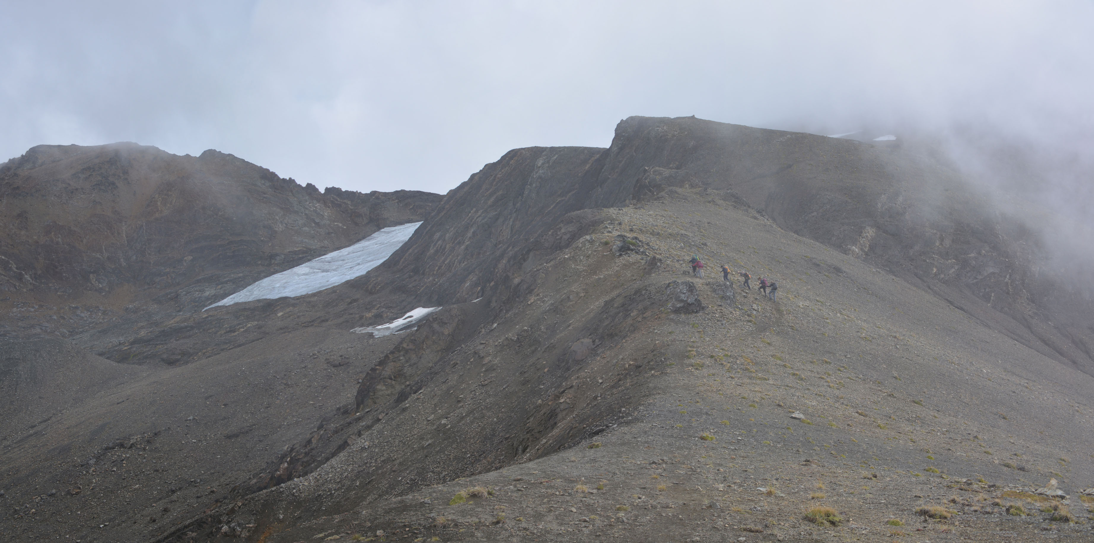
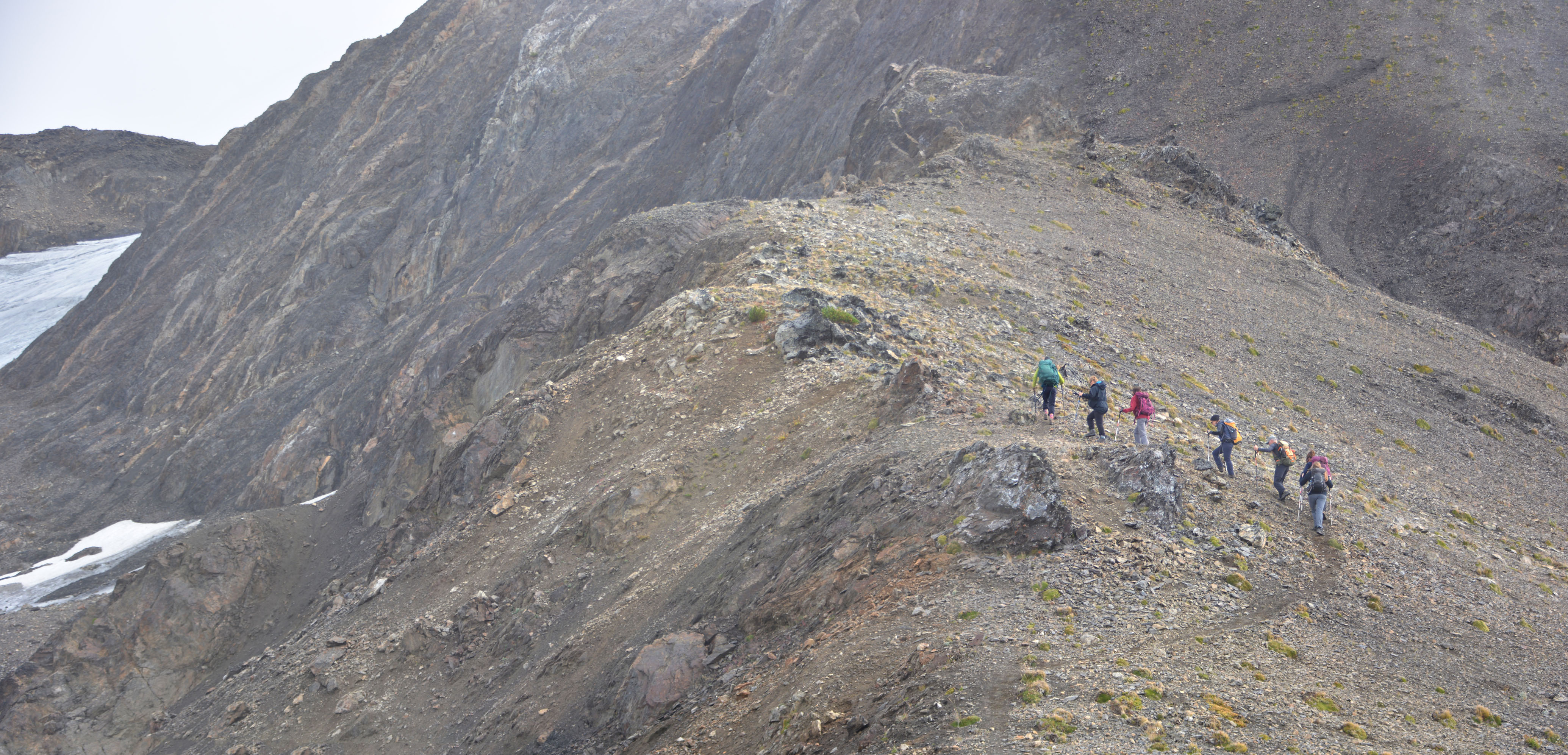
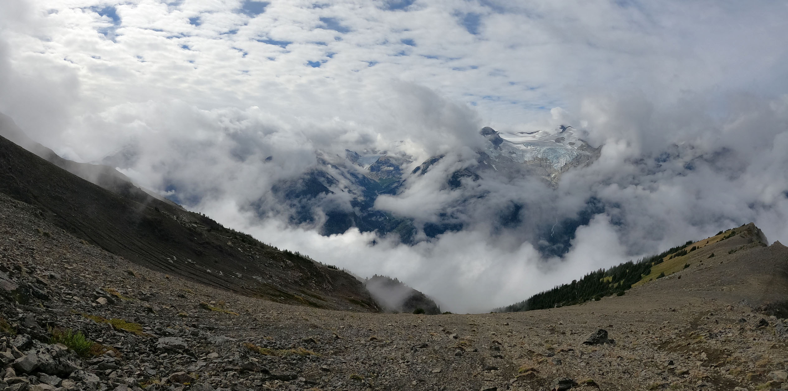
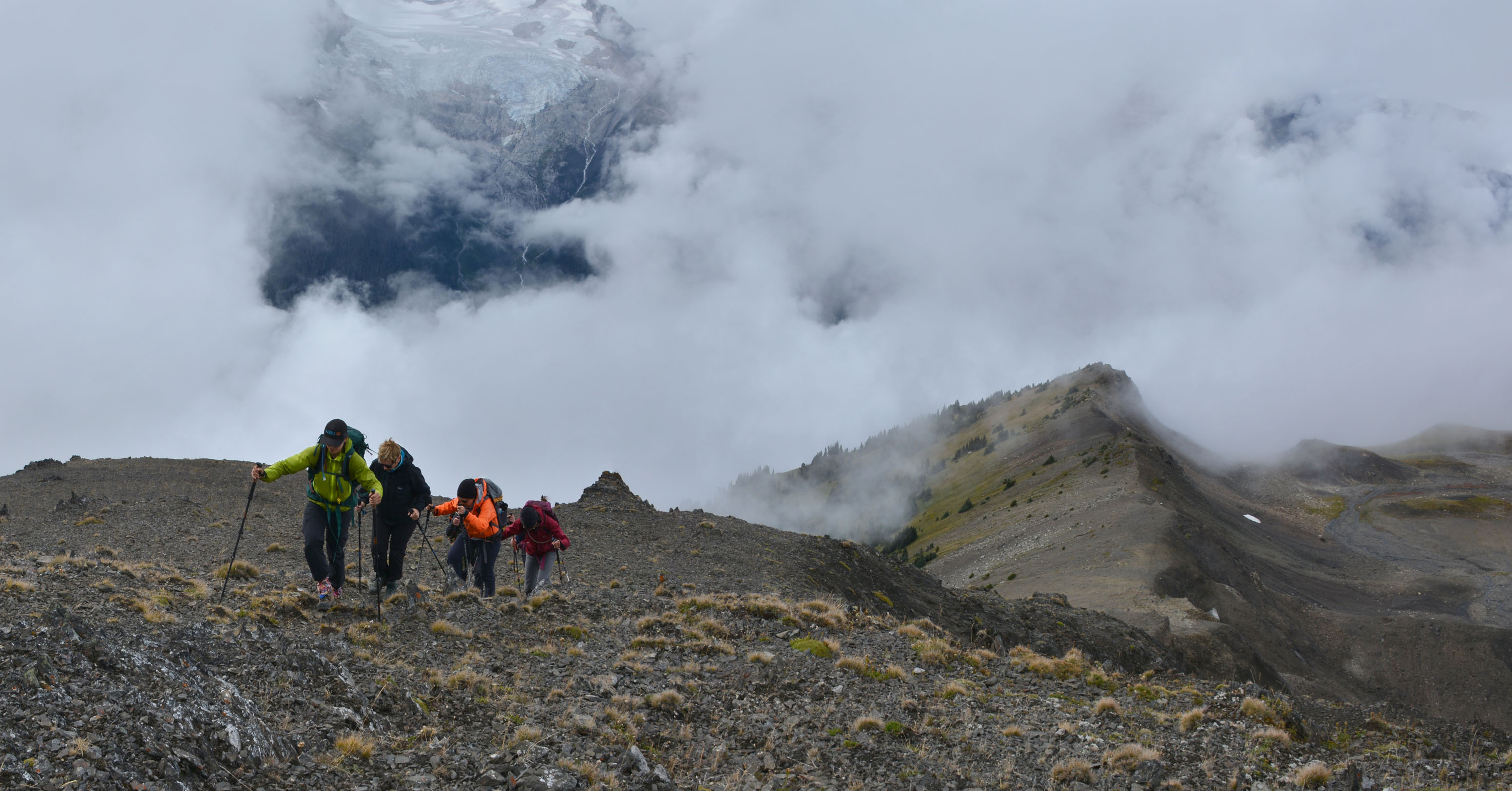
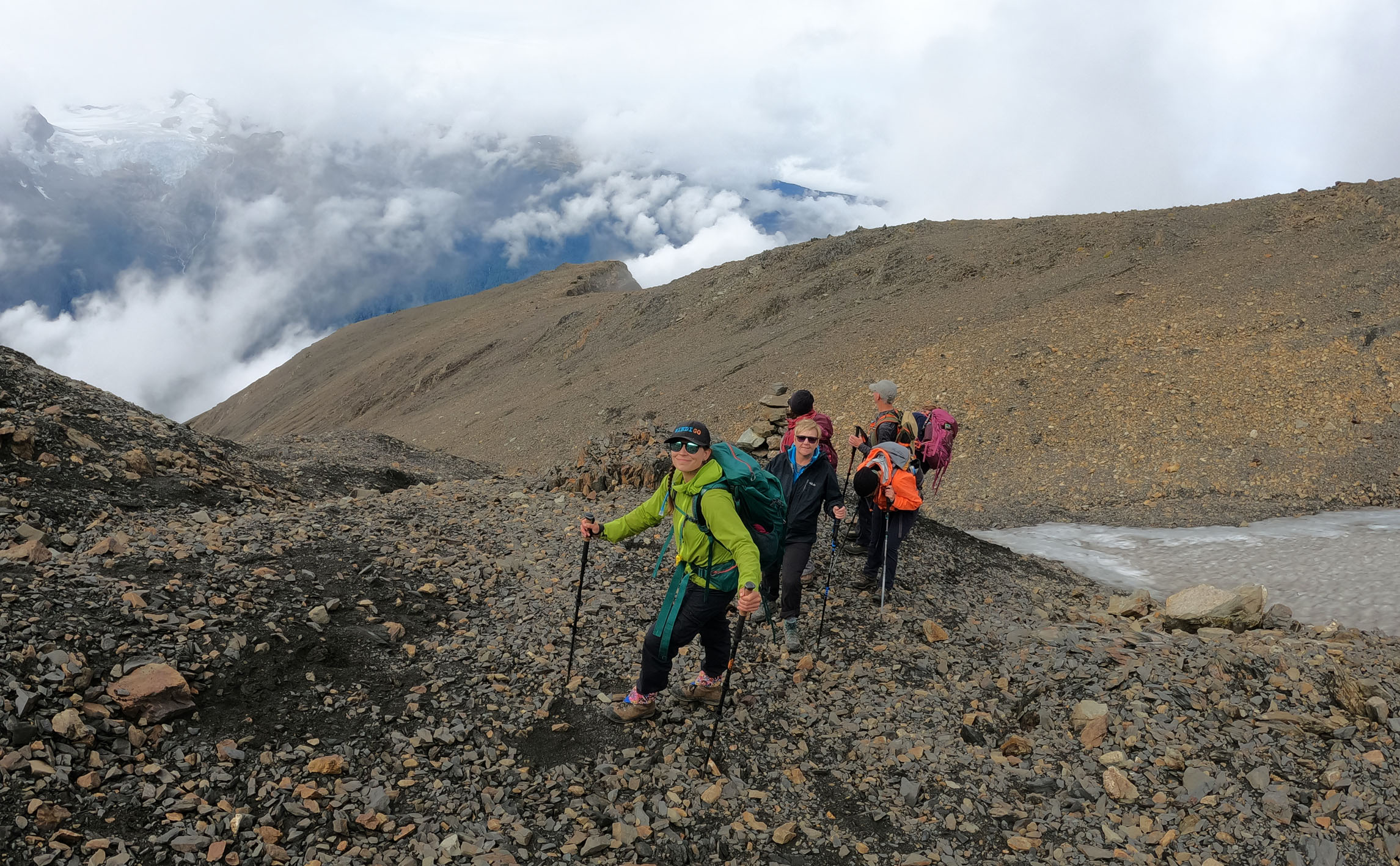
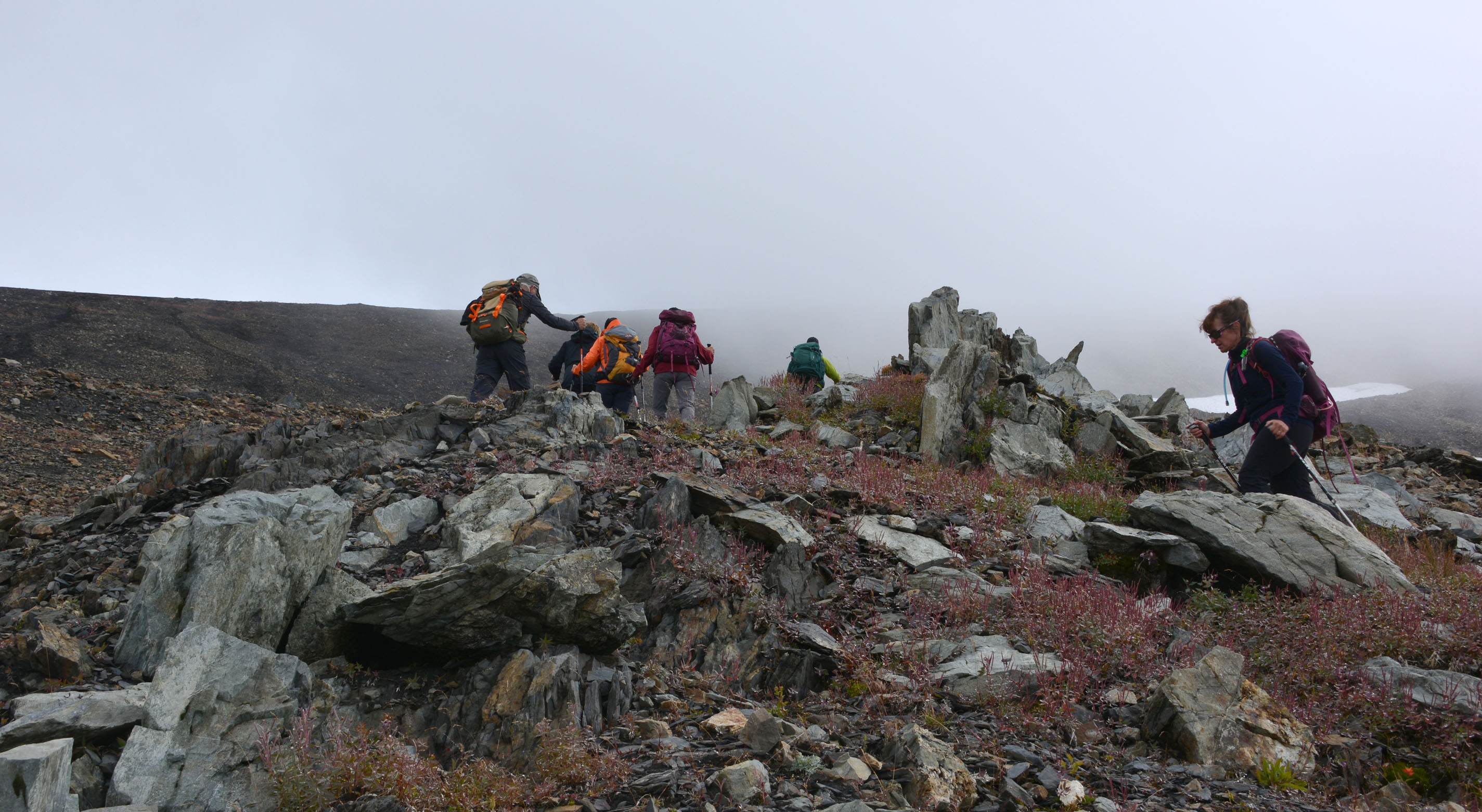
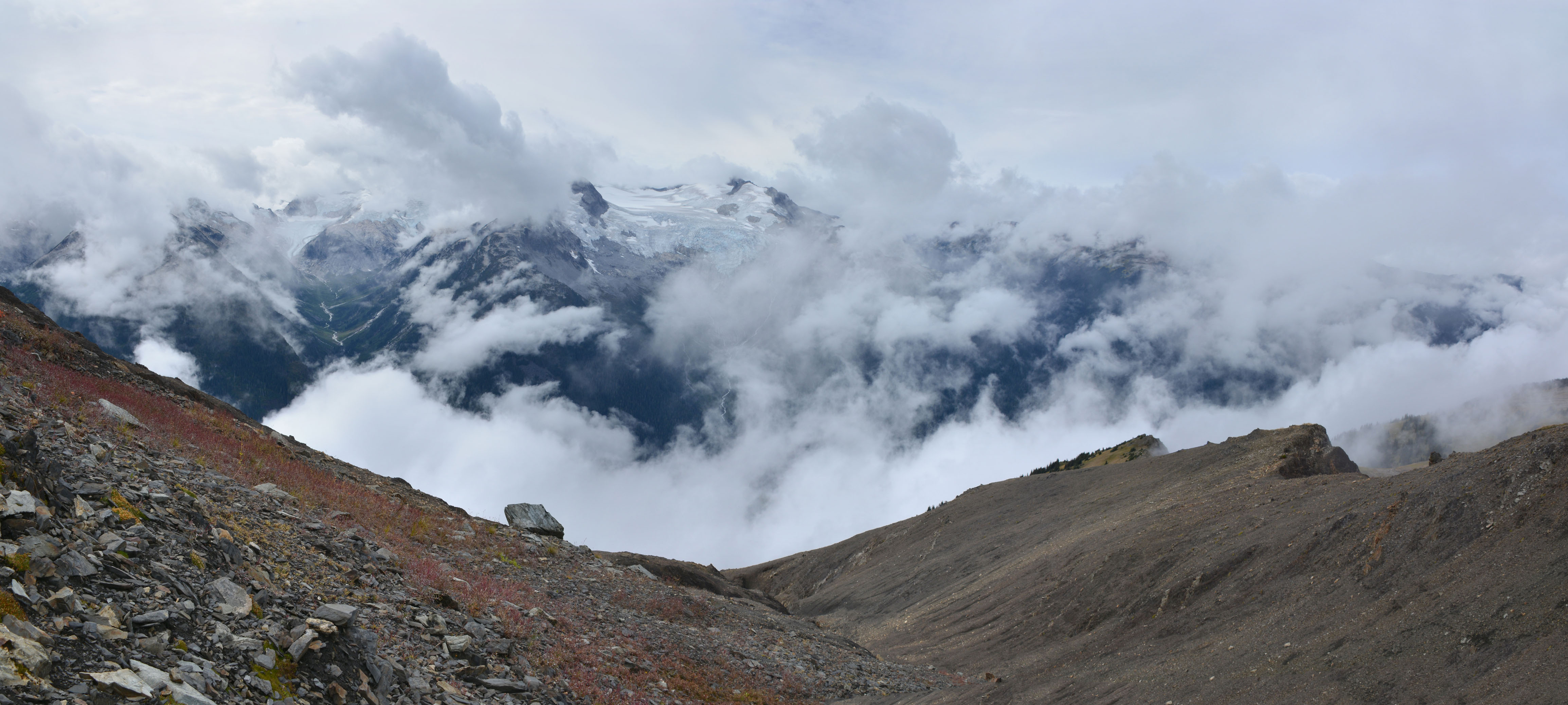
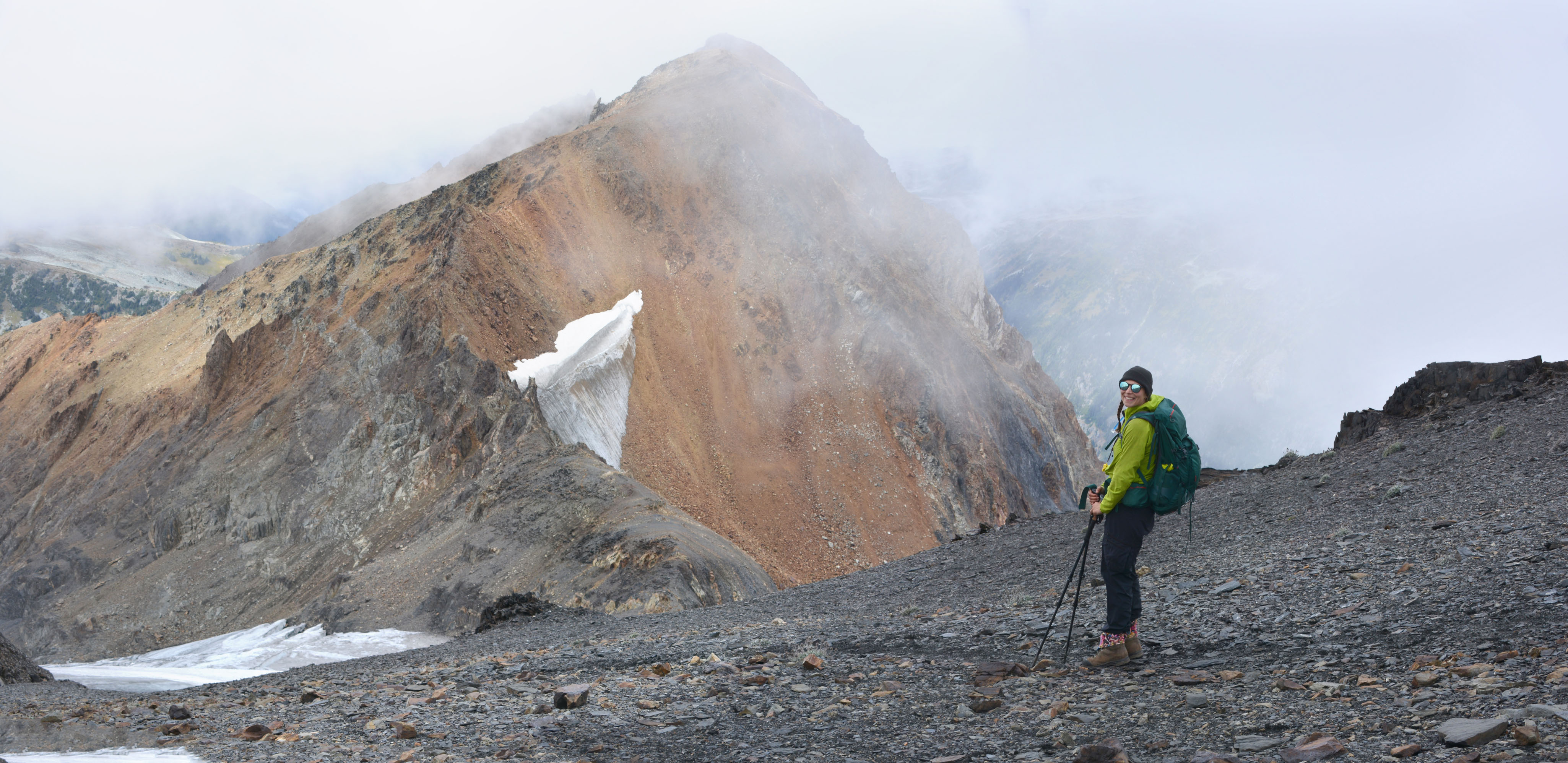
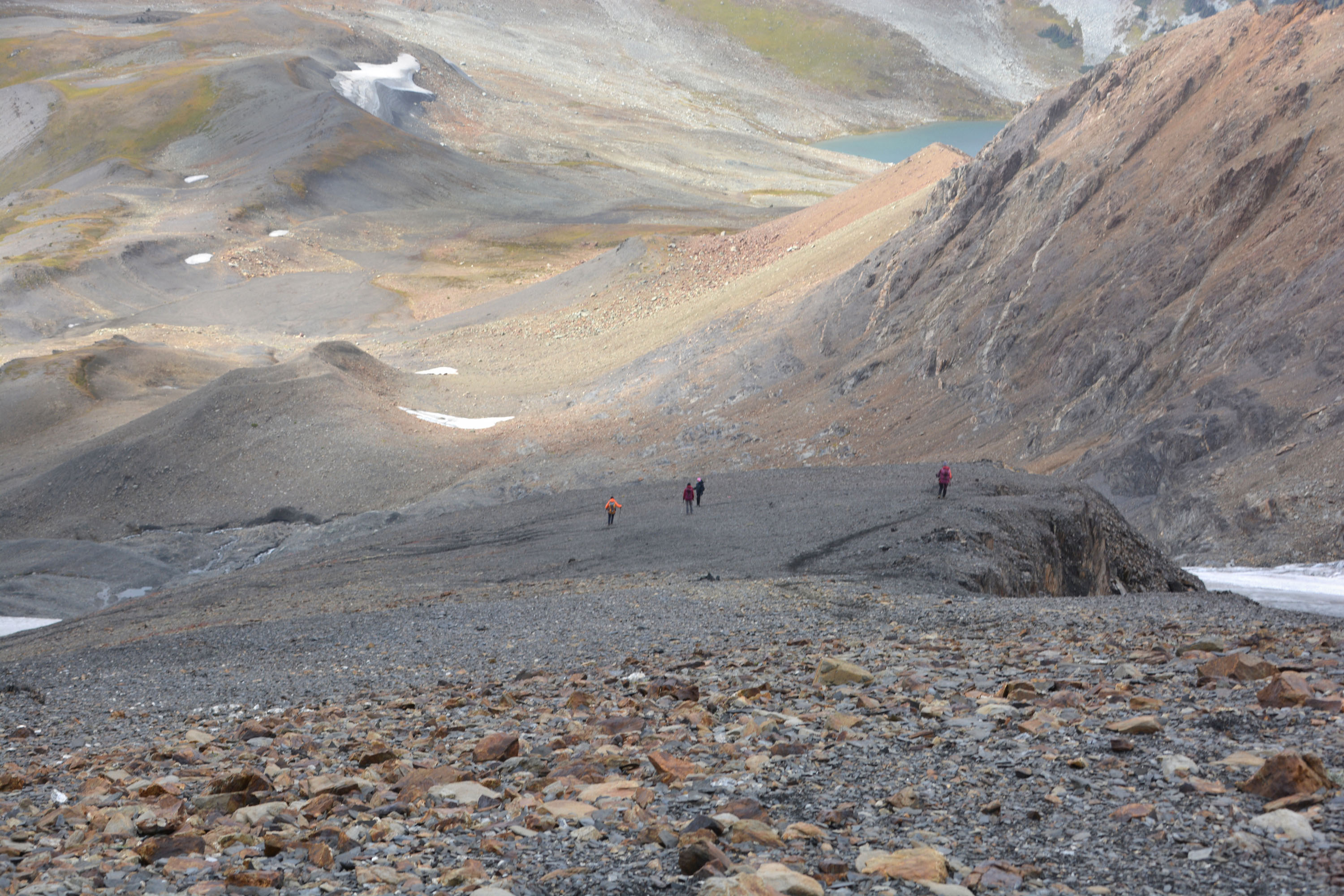
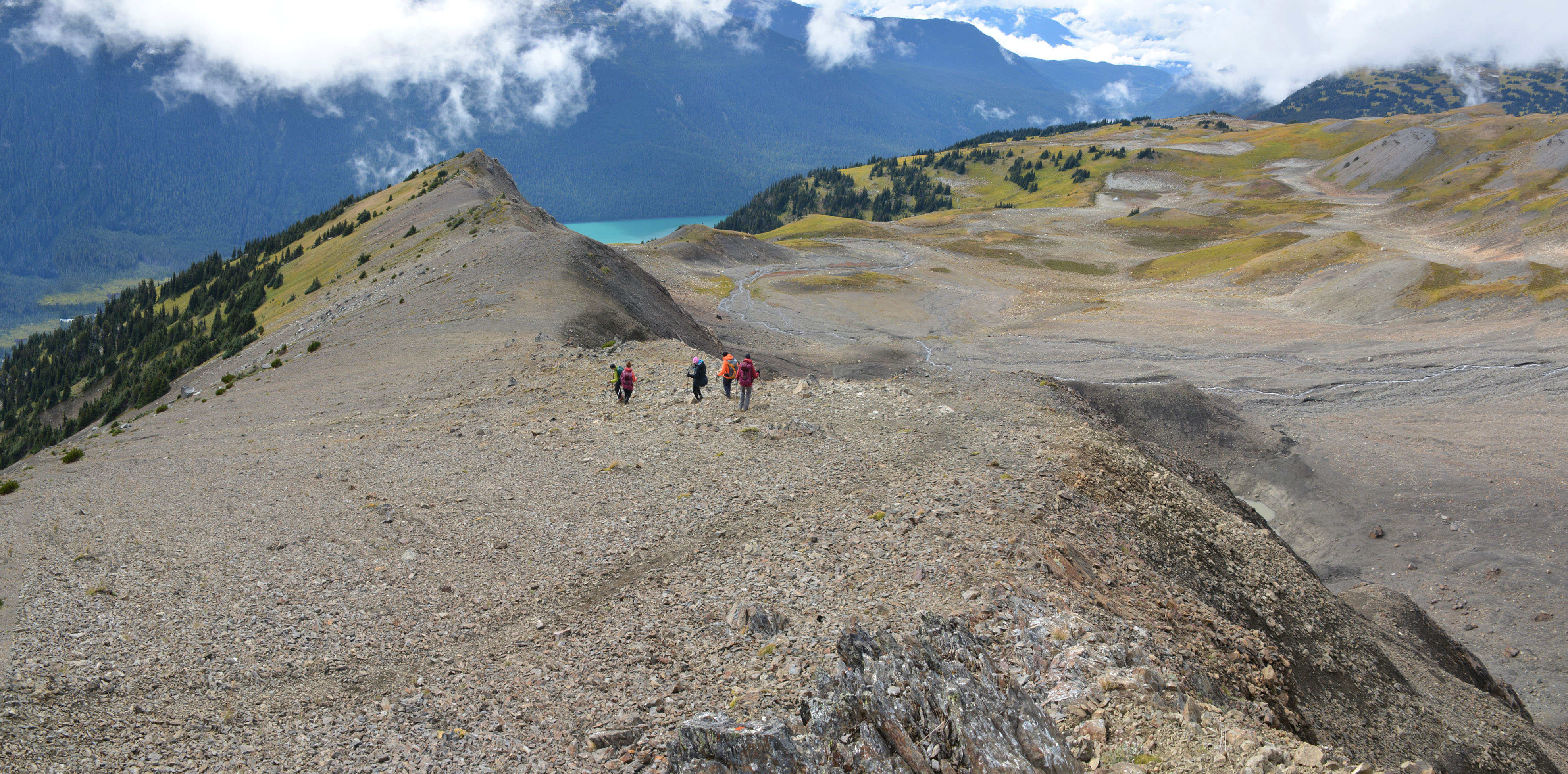
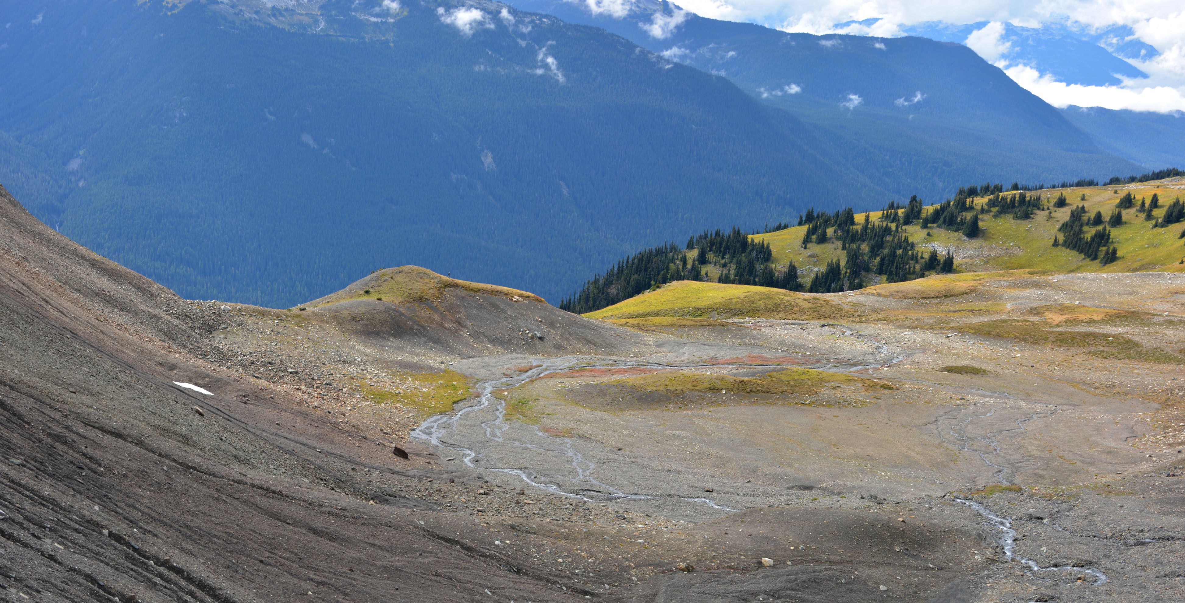
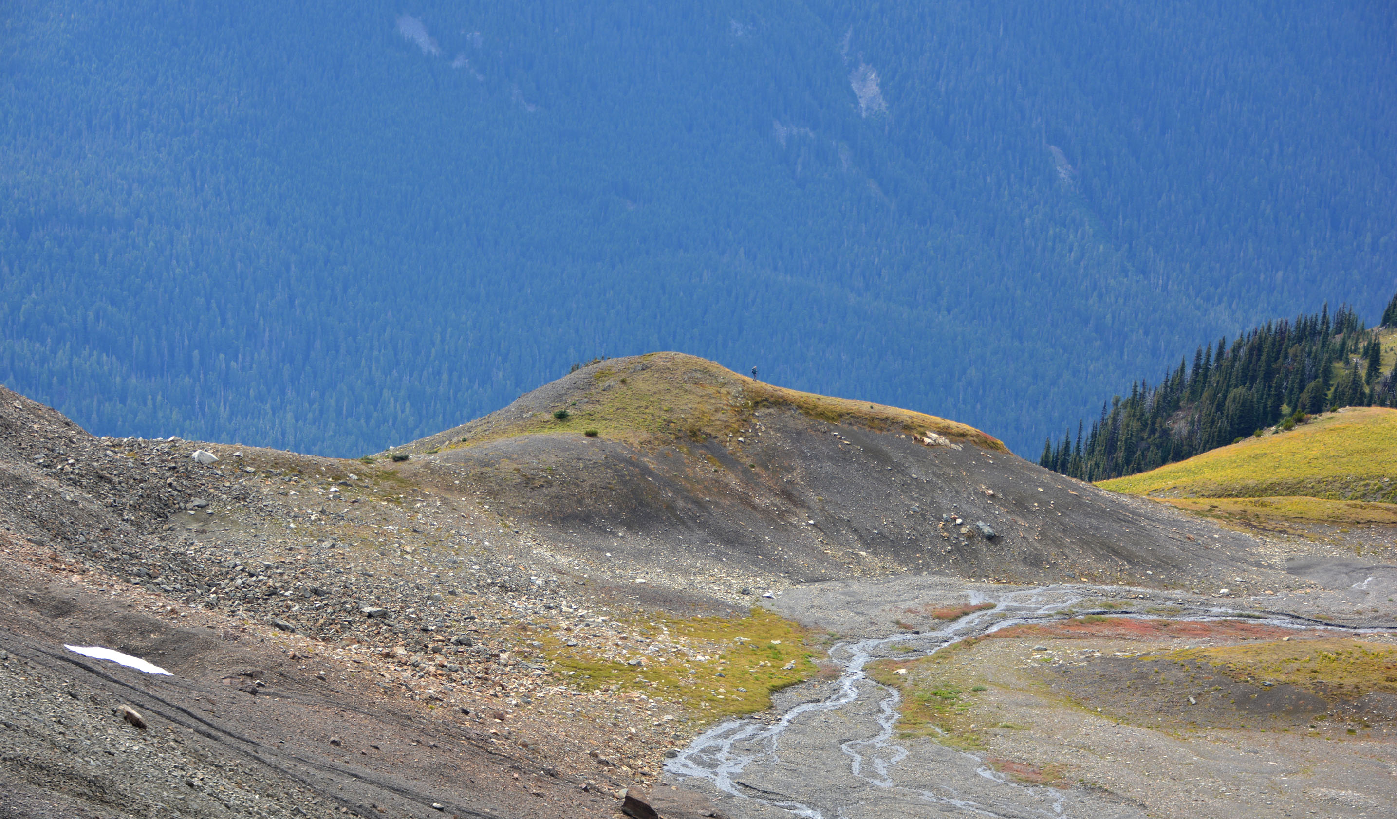
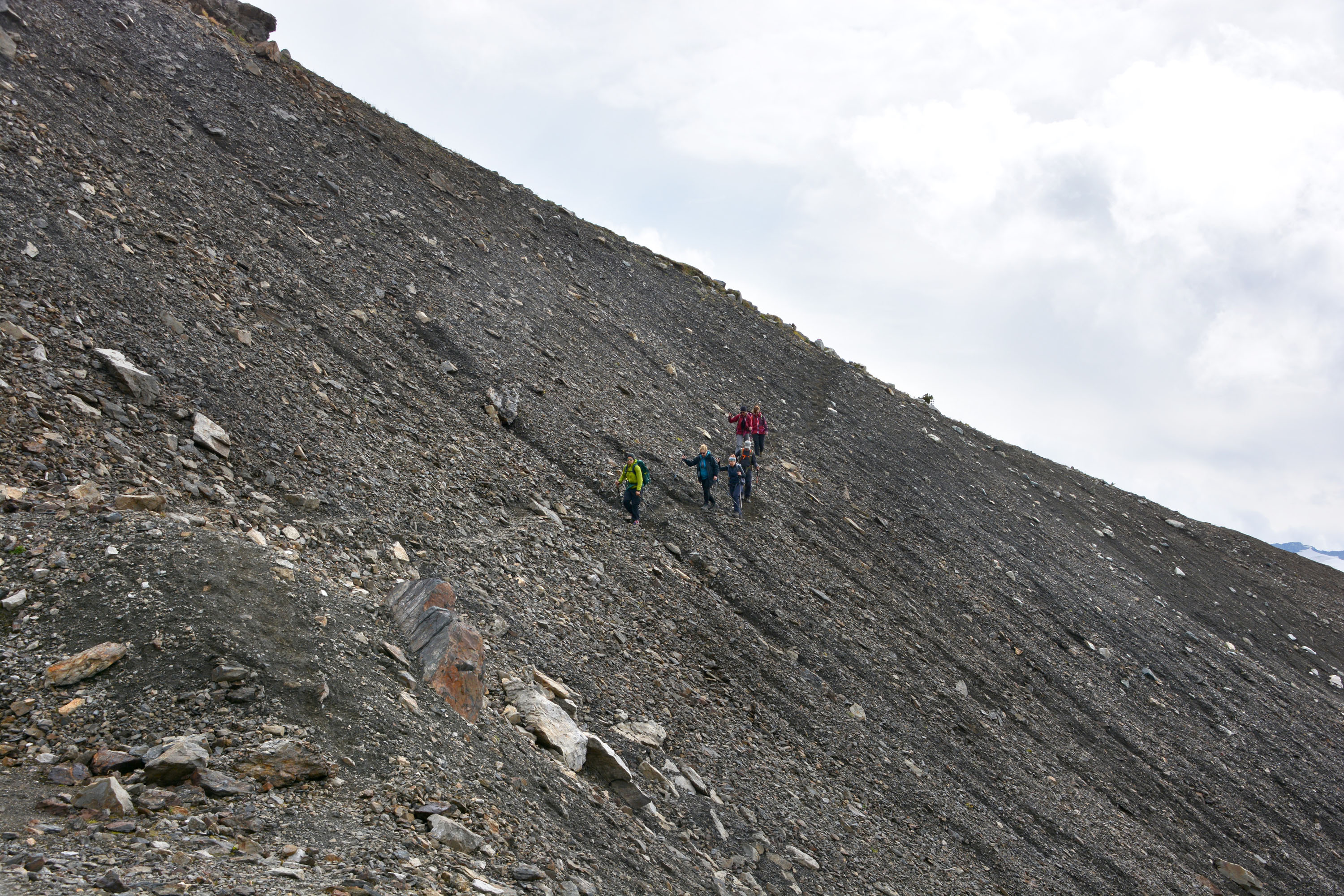
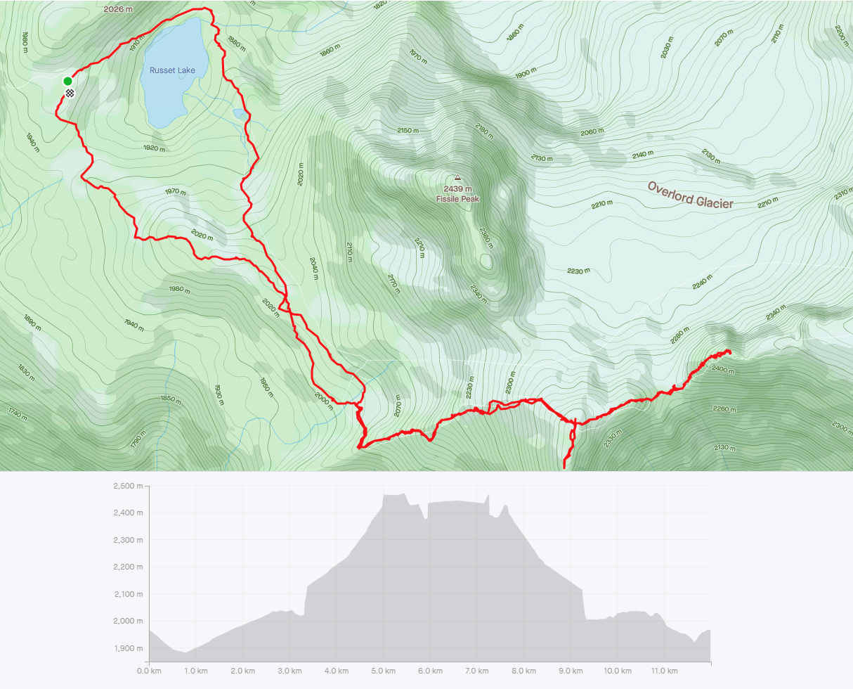
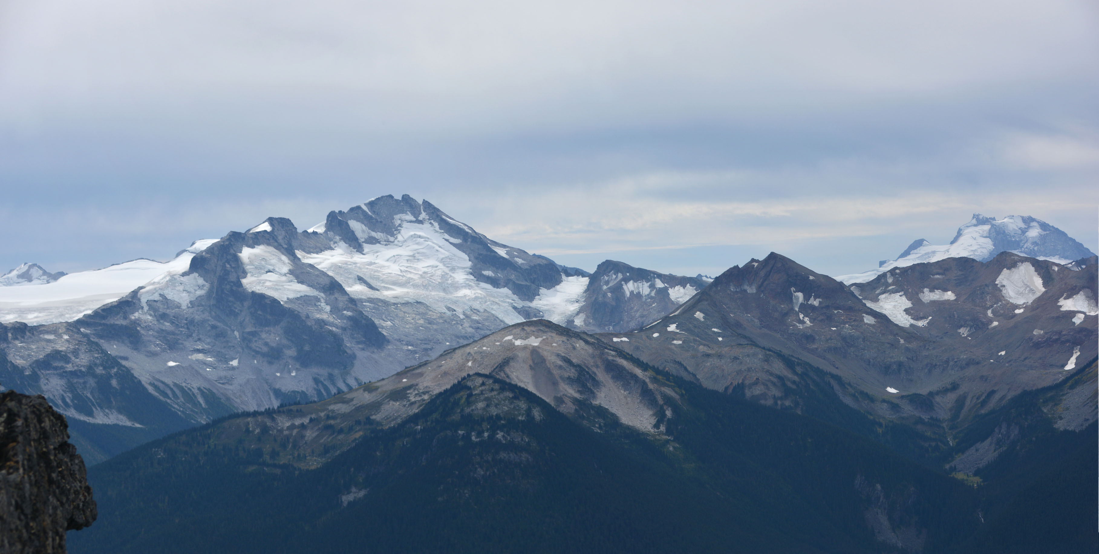
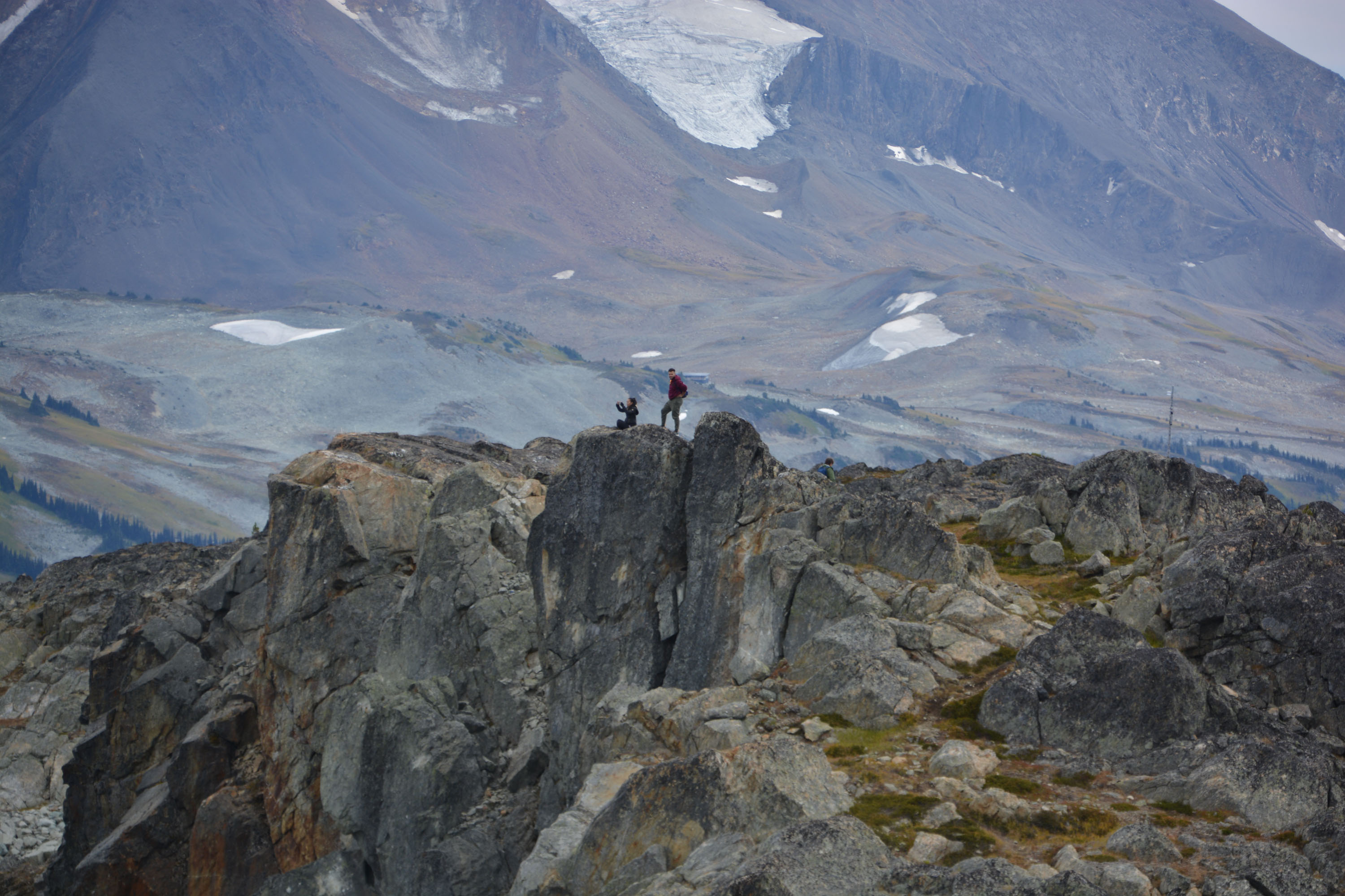
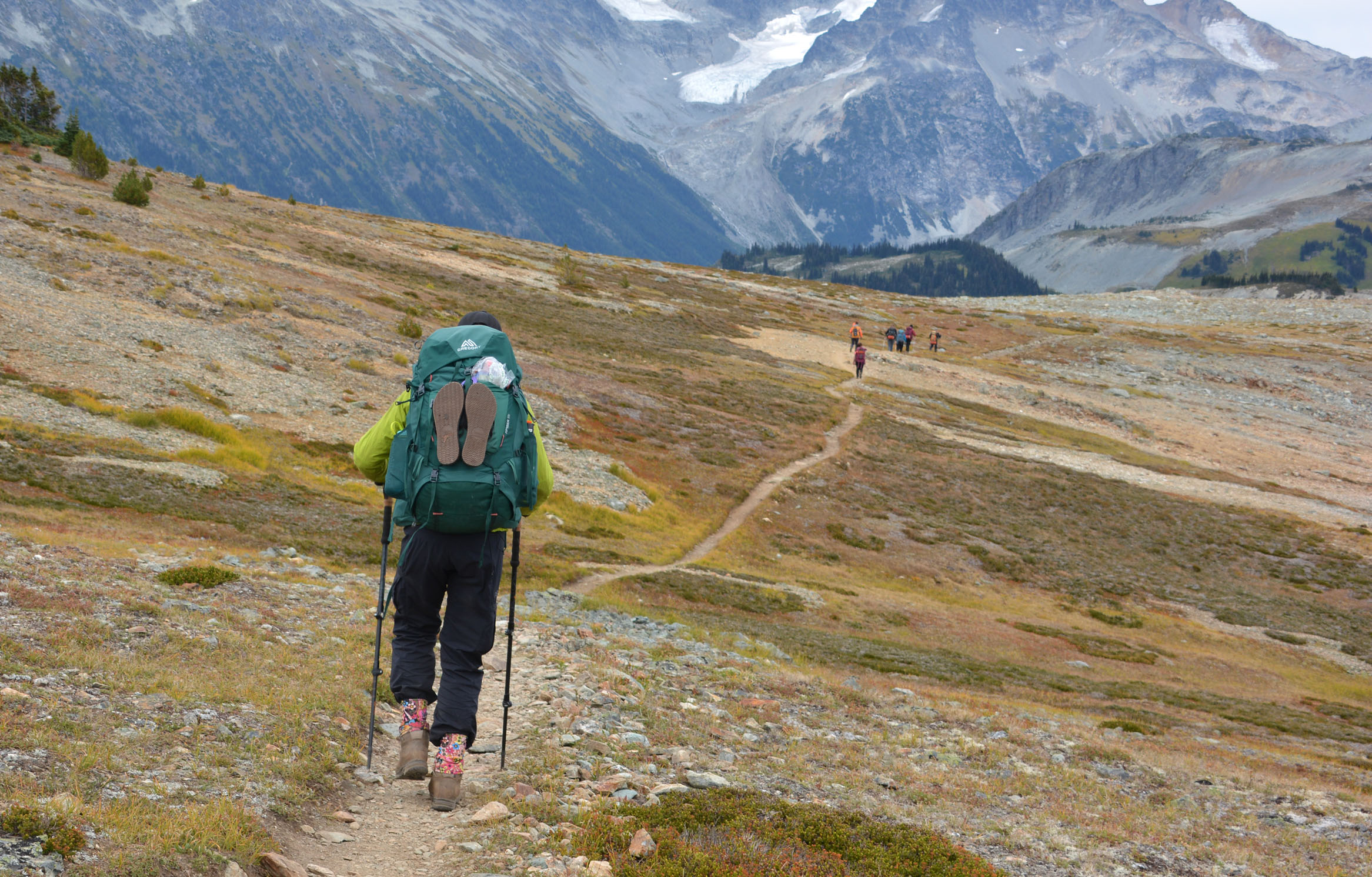
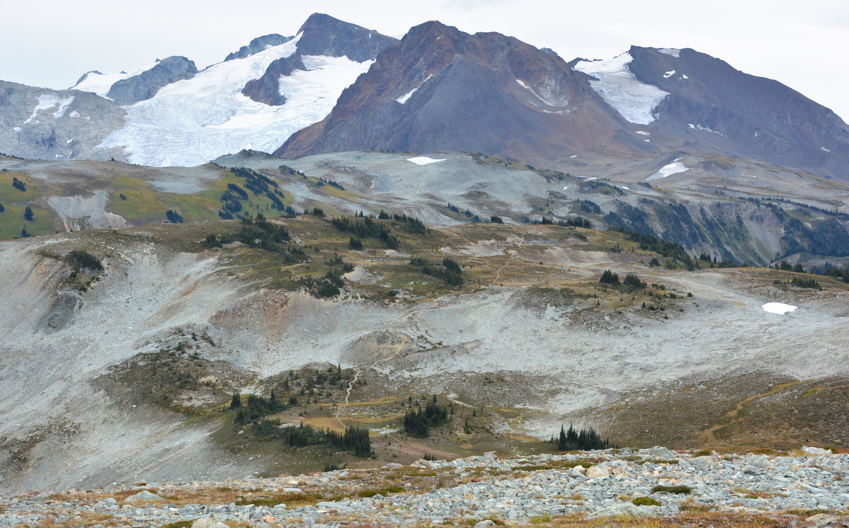
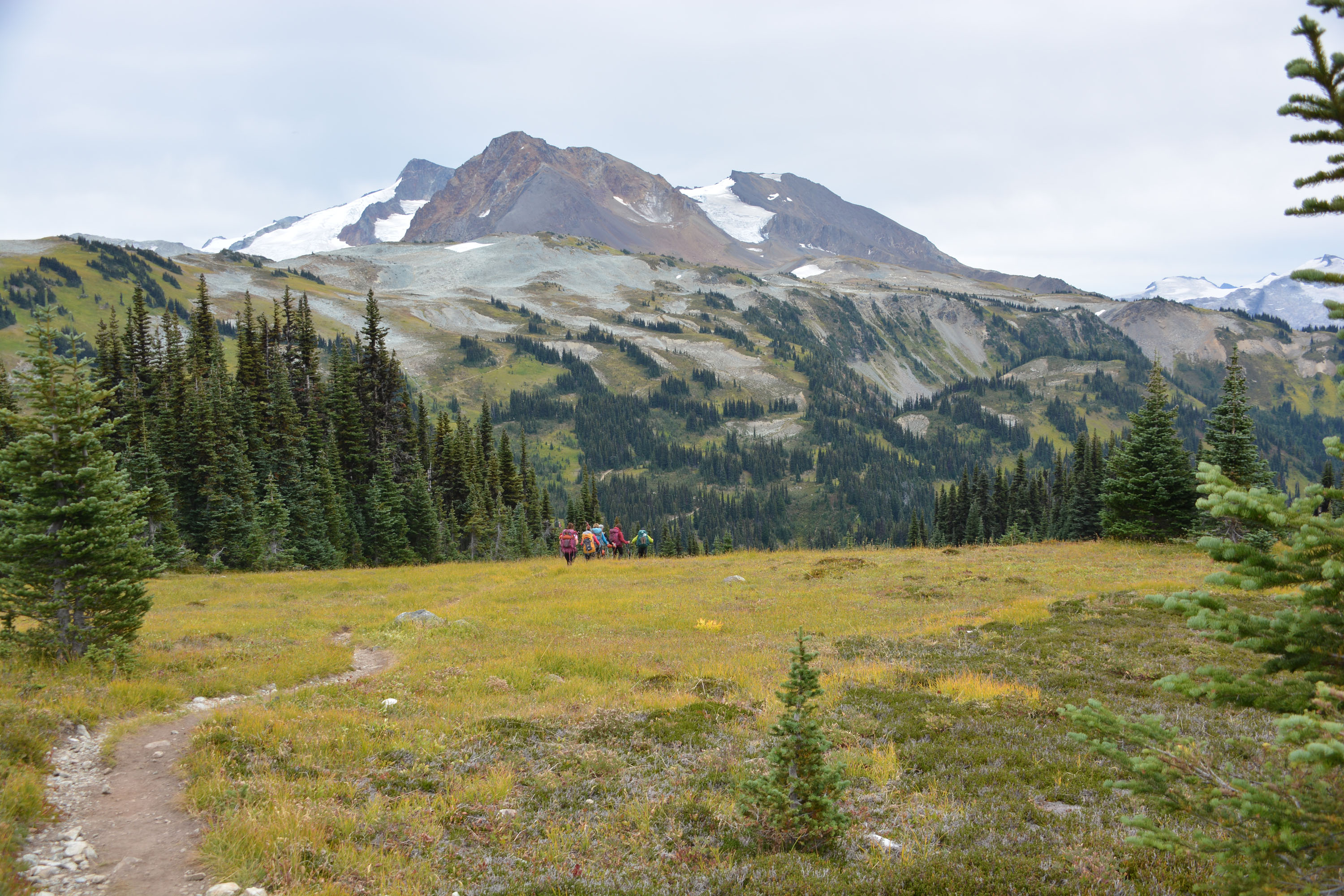
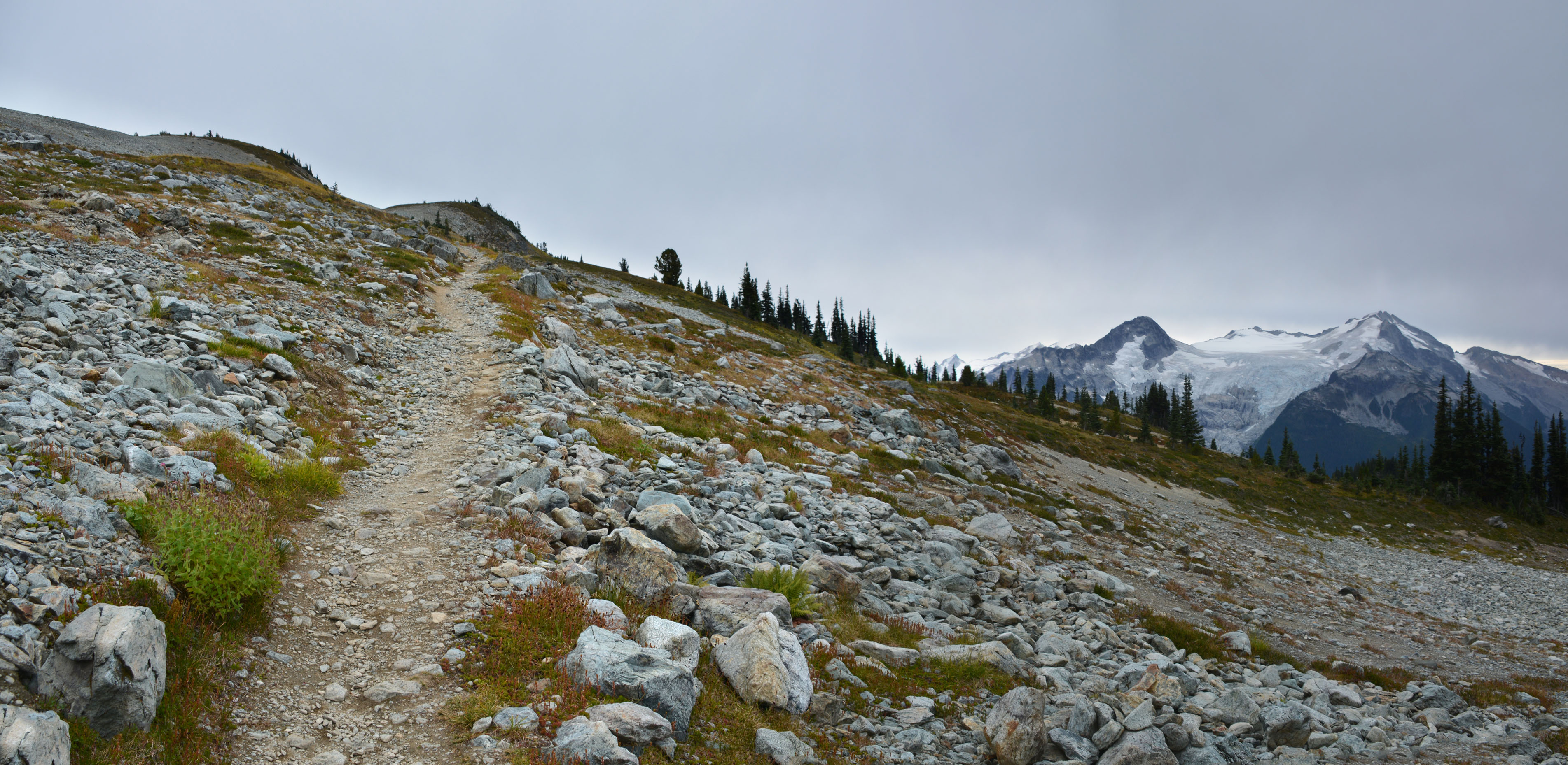
Overlord Mountain – Garibaldi Park
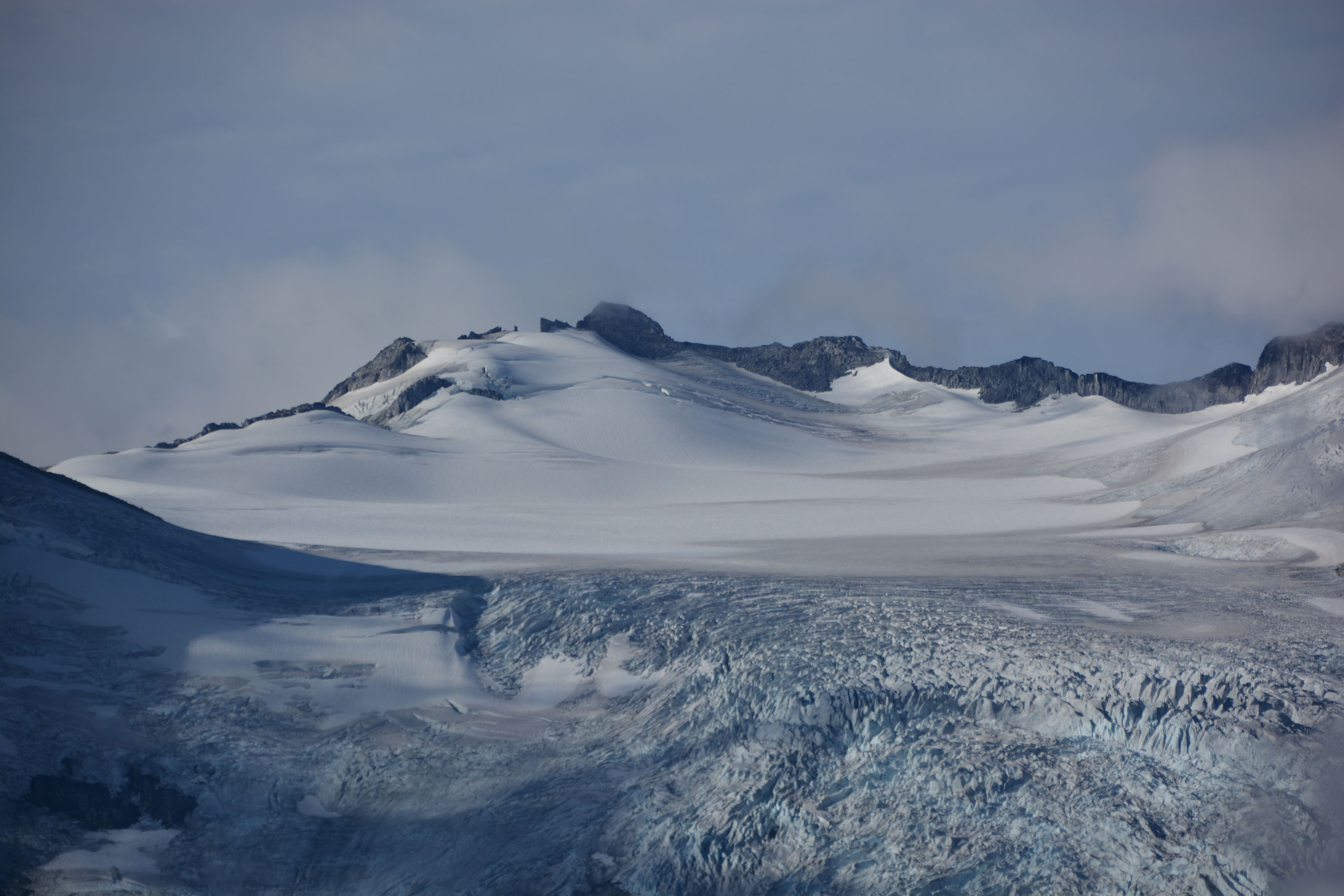
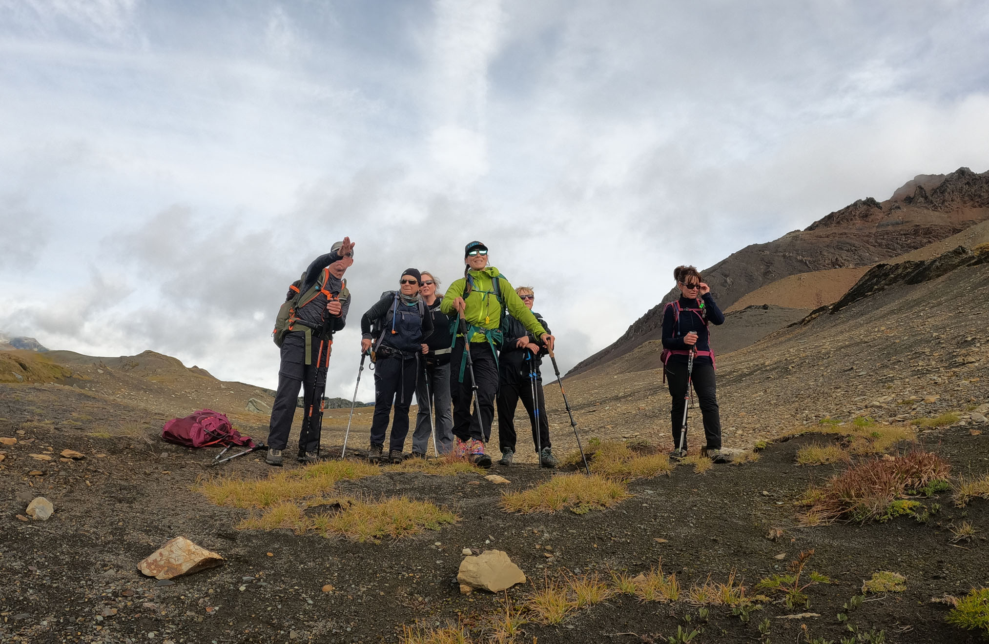
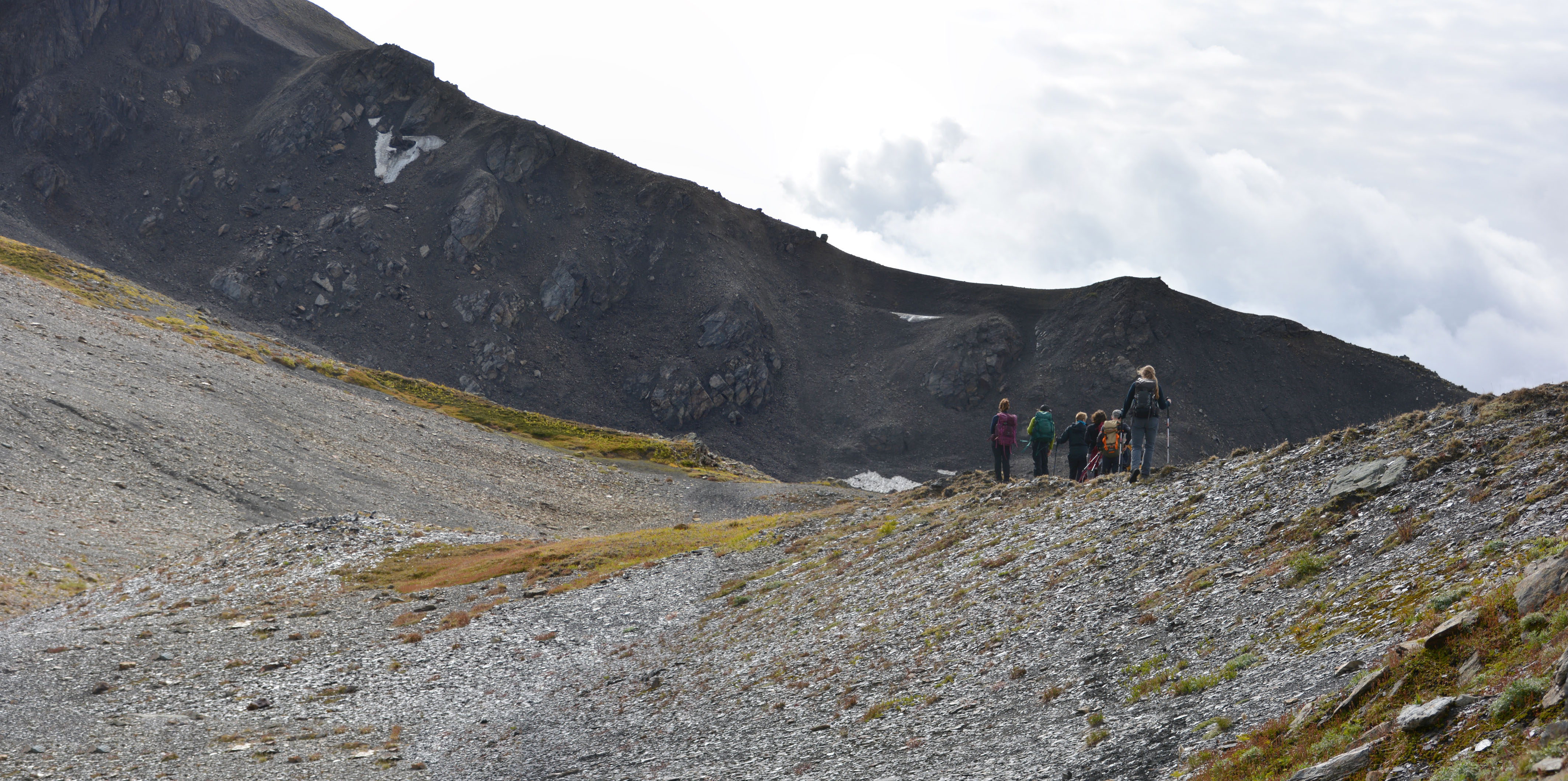
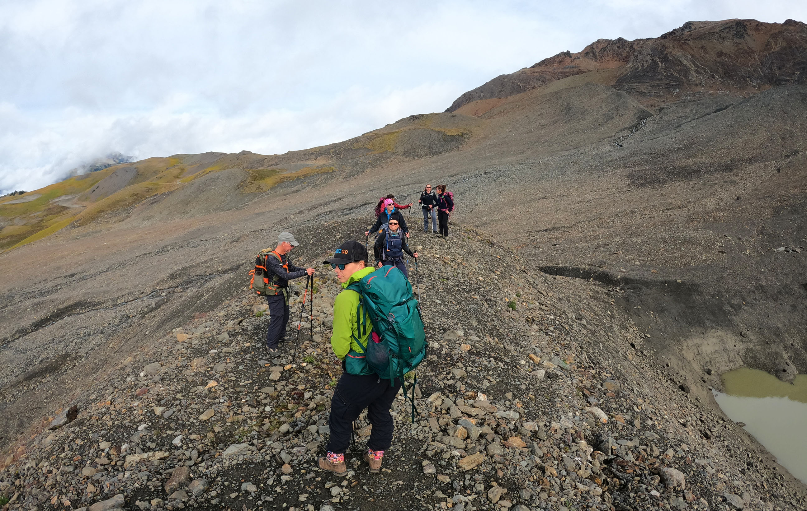
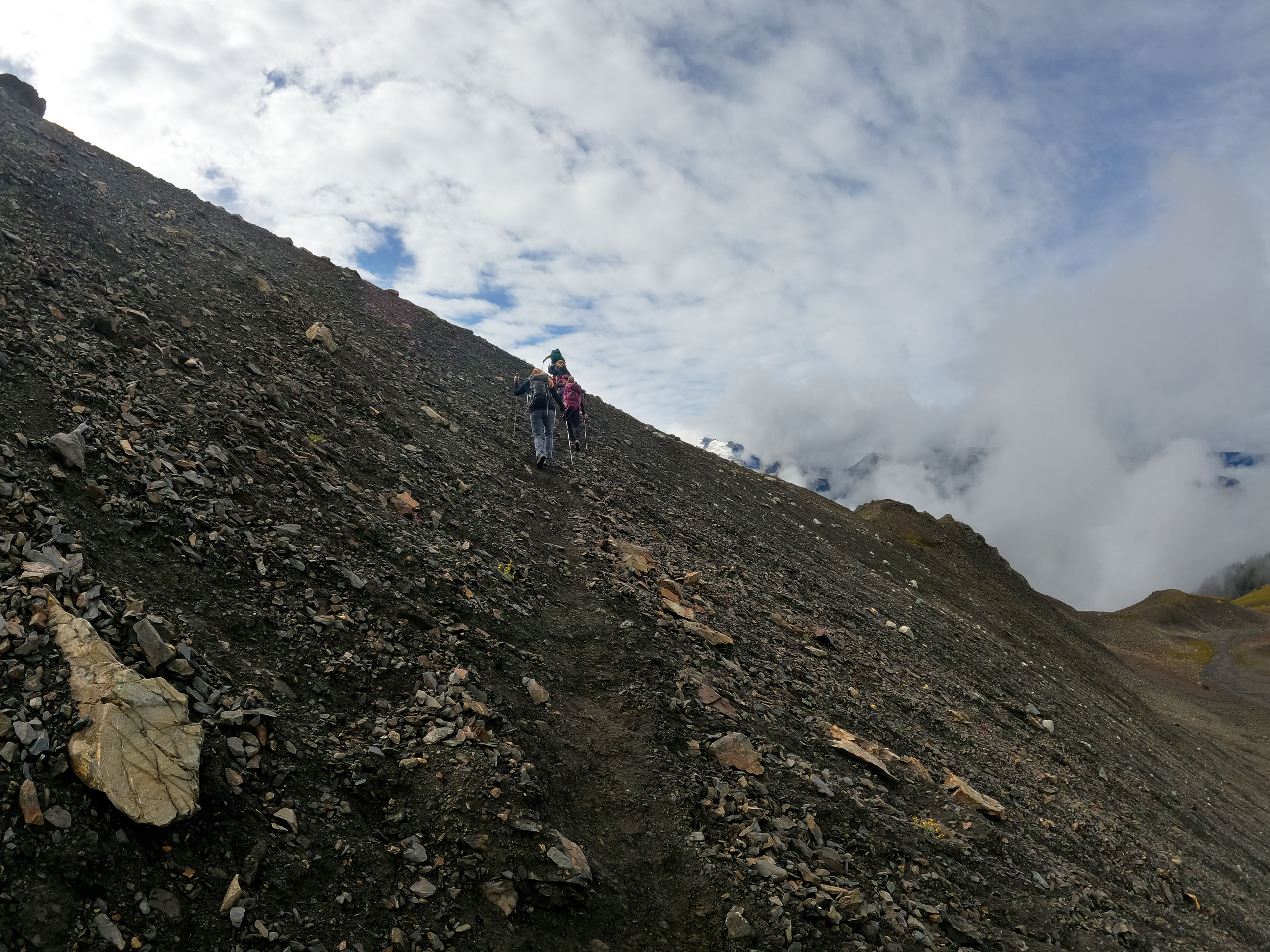
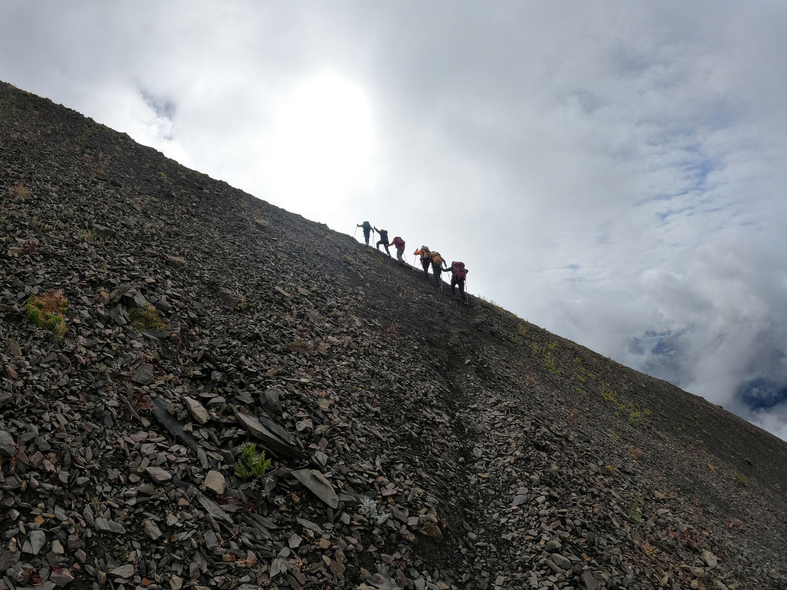
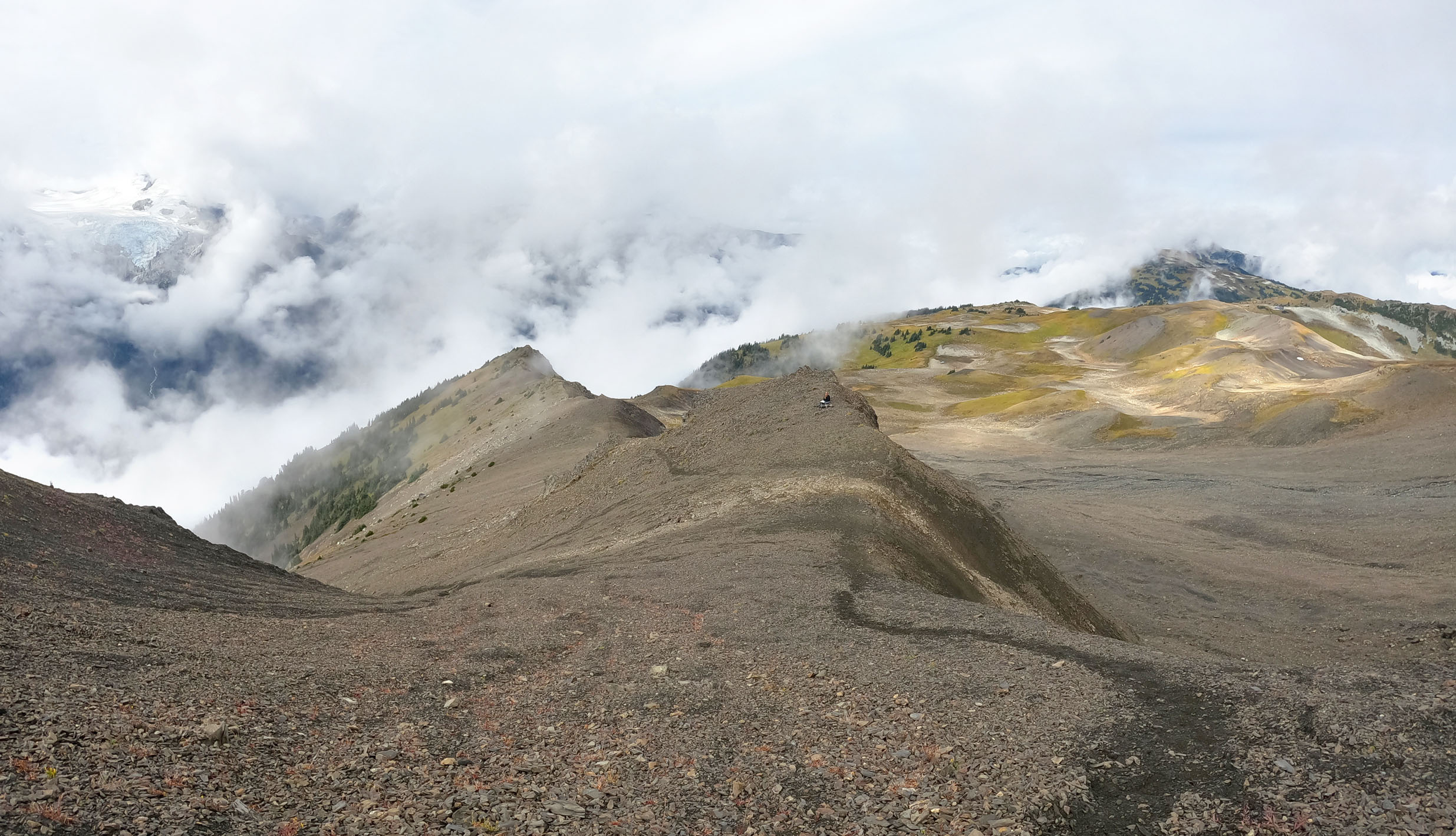
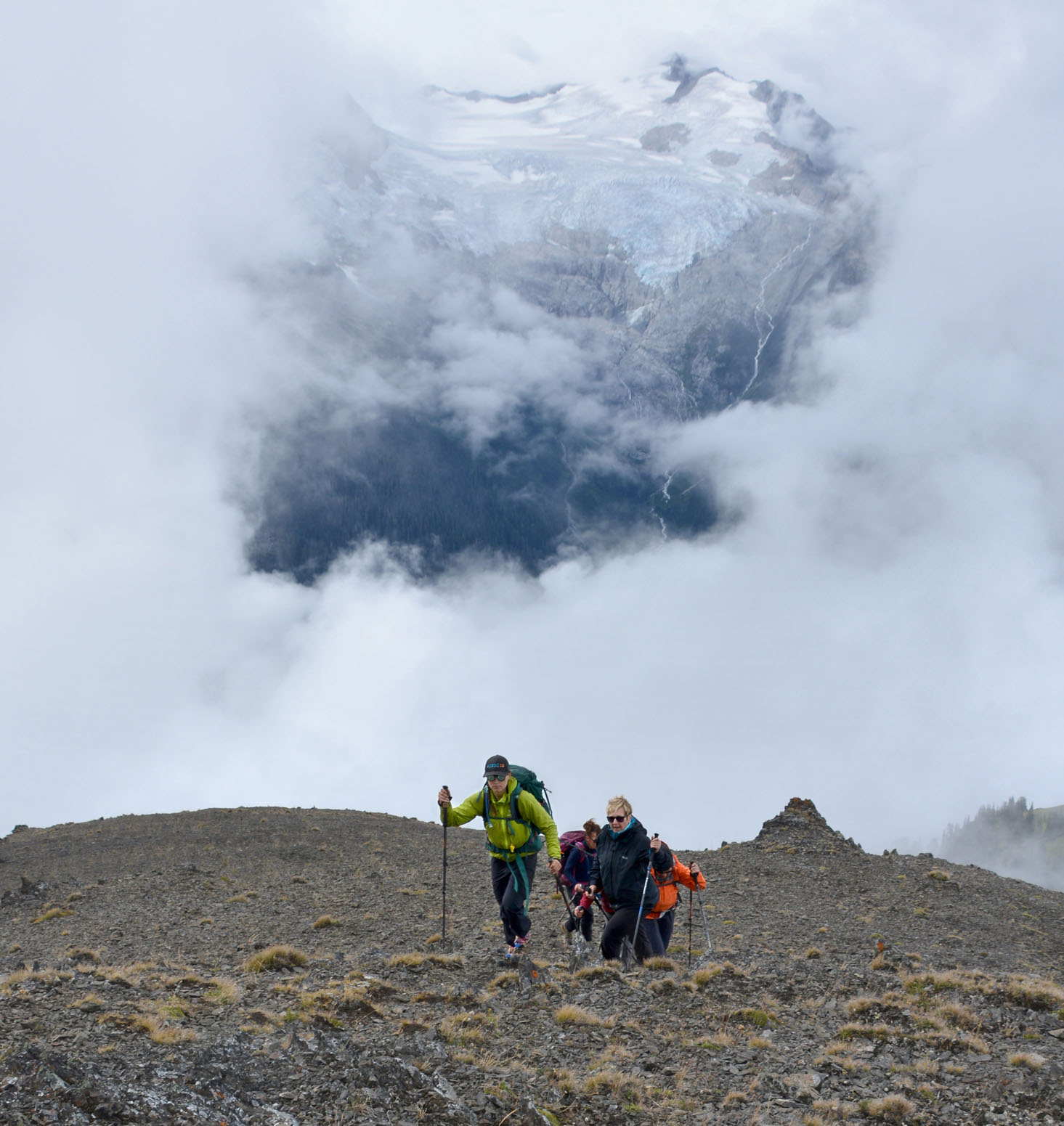
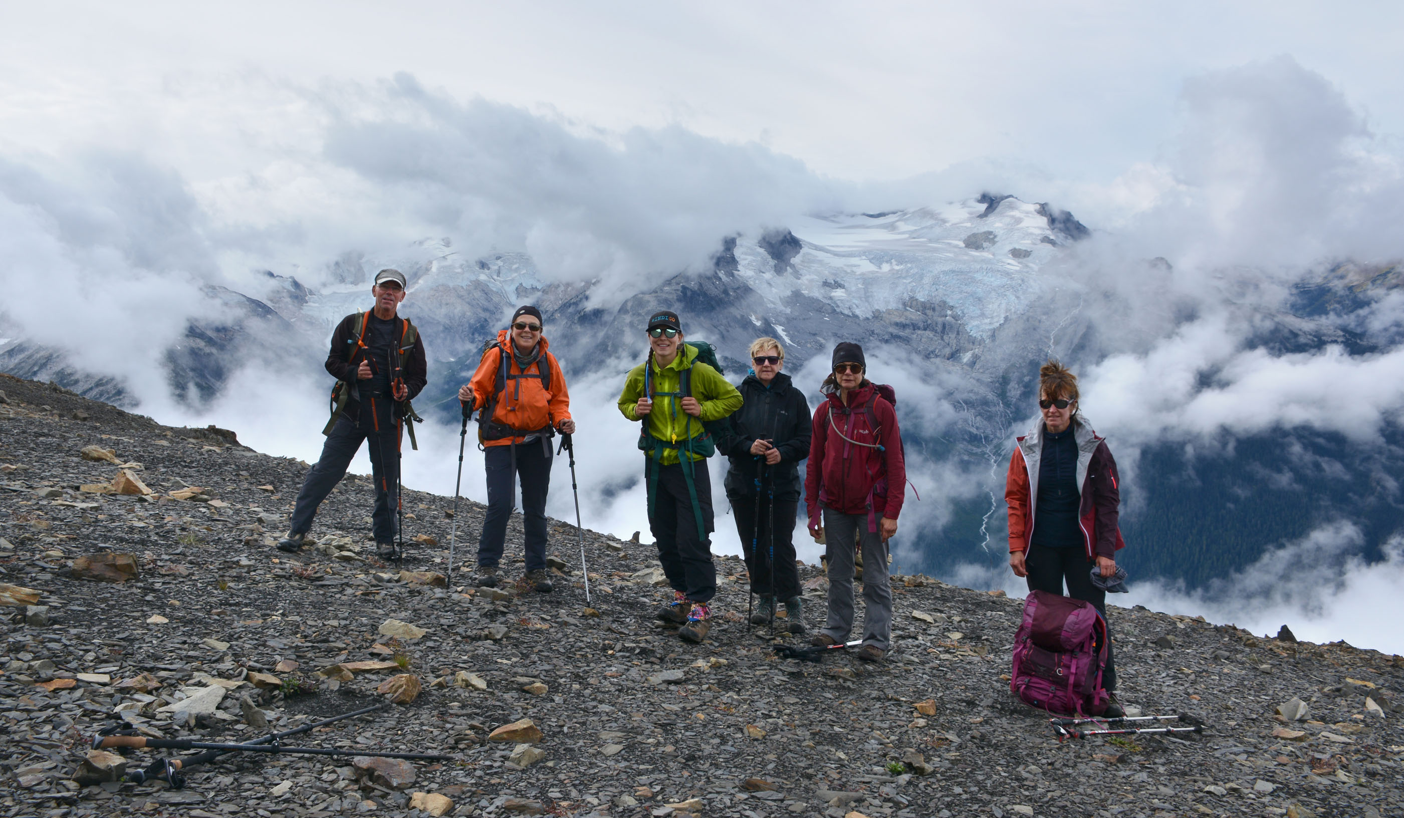
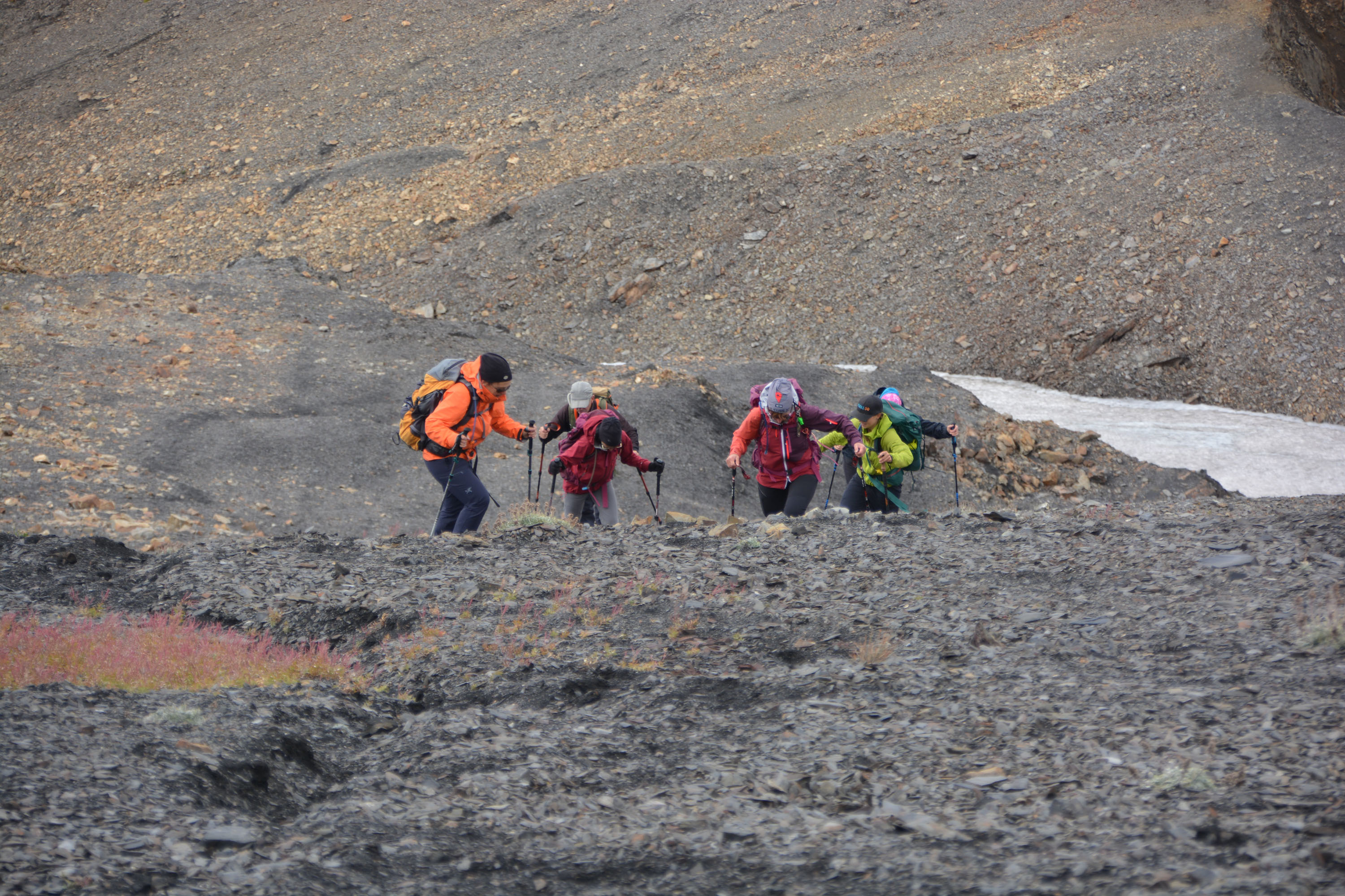
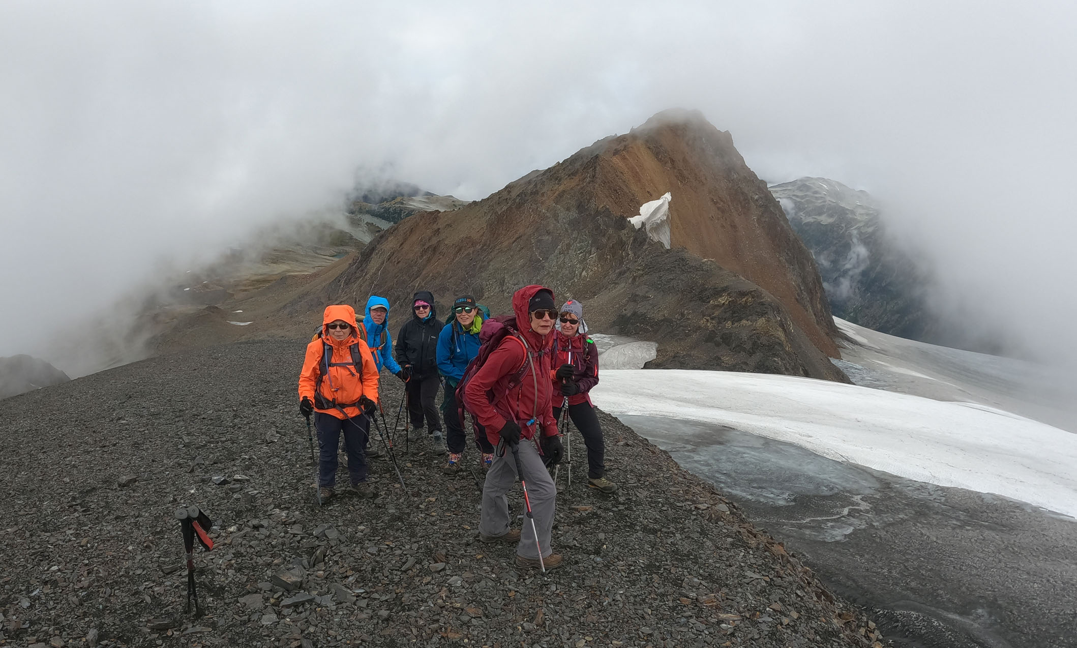
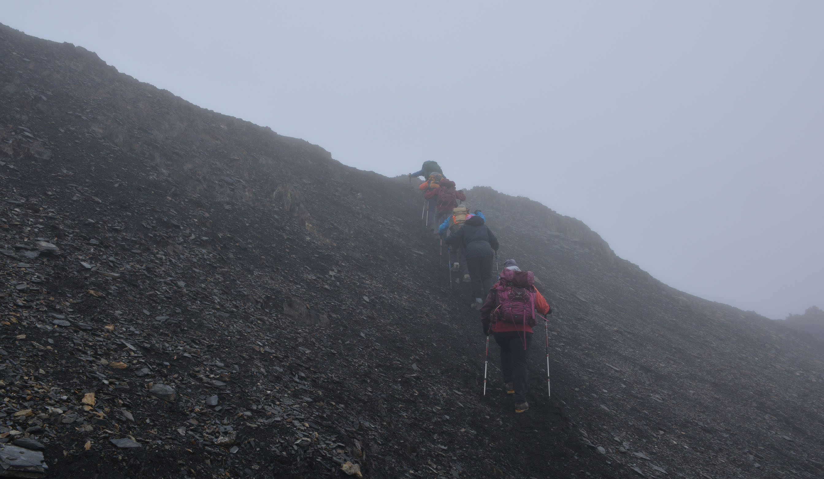
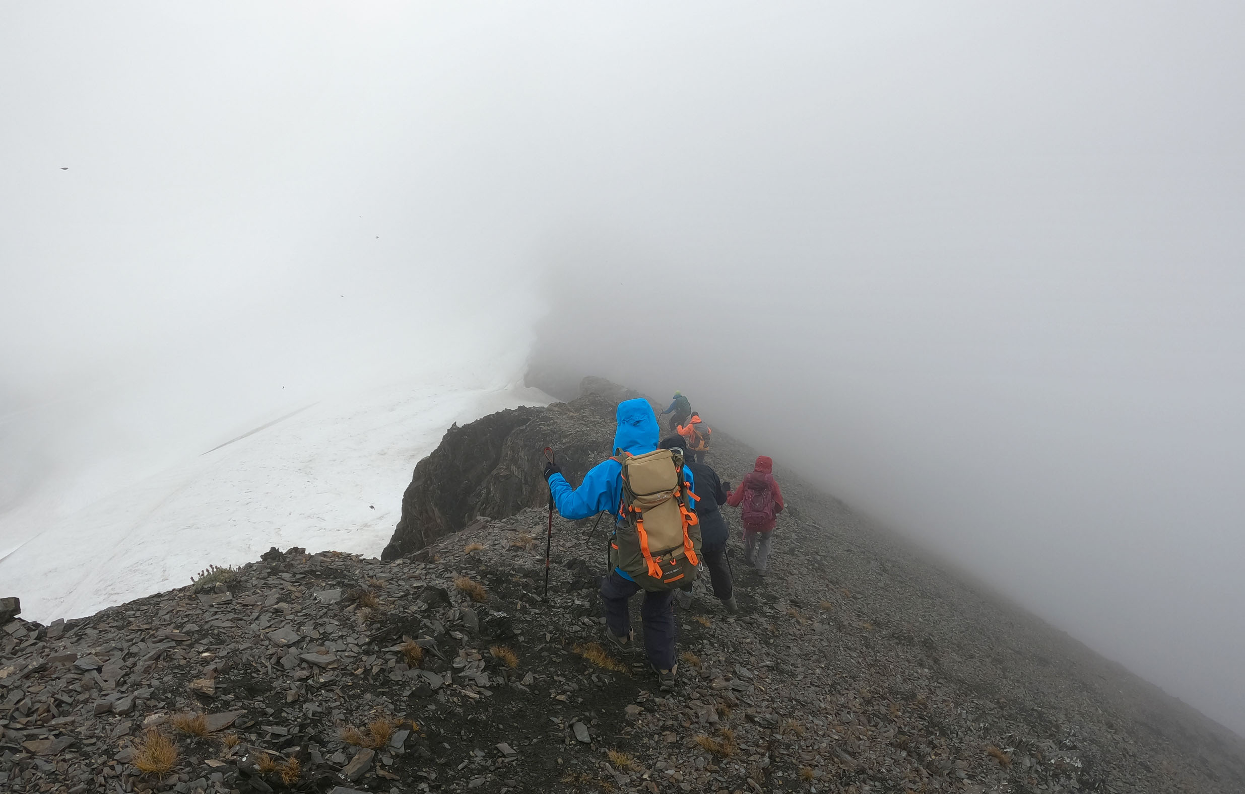
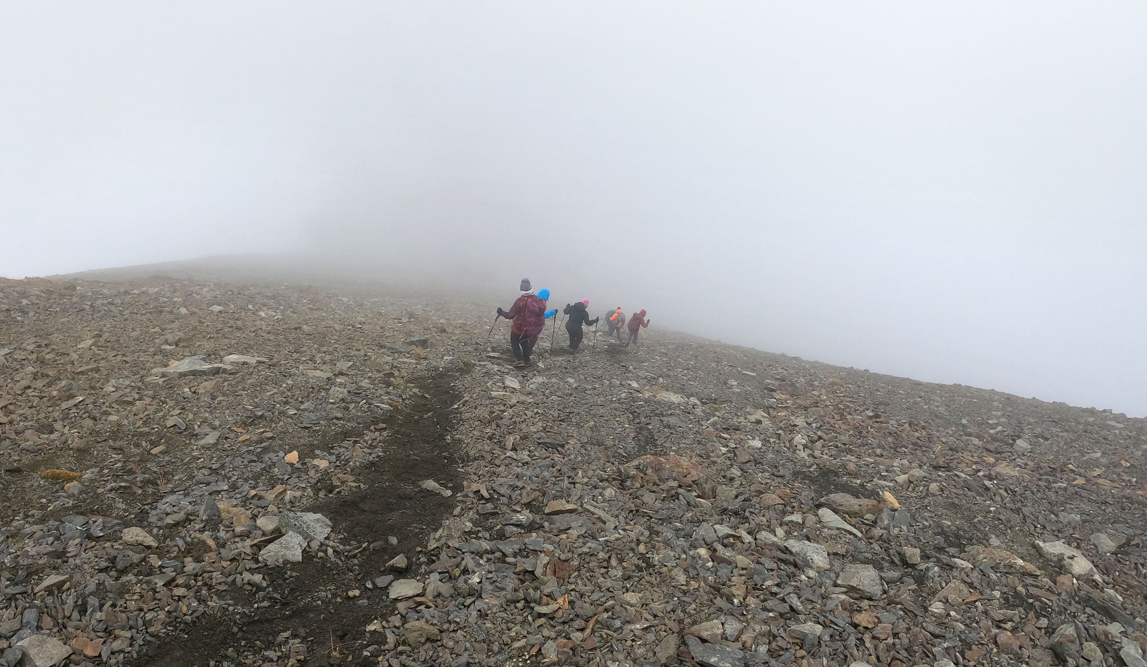
Ce matin on quitte le refuge en vue d’aller grimper (si possible) la montagne Overlord (2600m).
Distance: 12km, Durée: 7h (5h15 en mouvement), D+: 918m


")


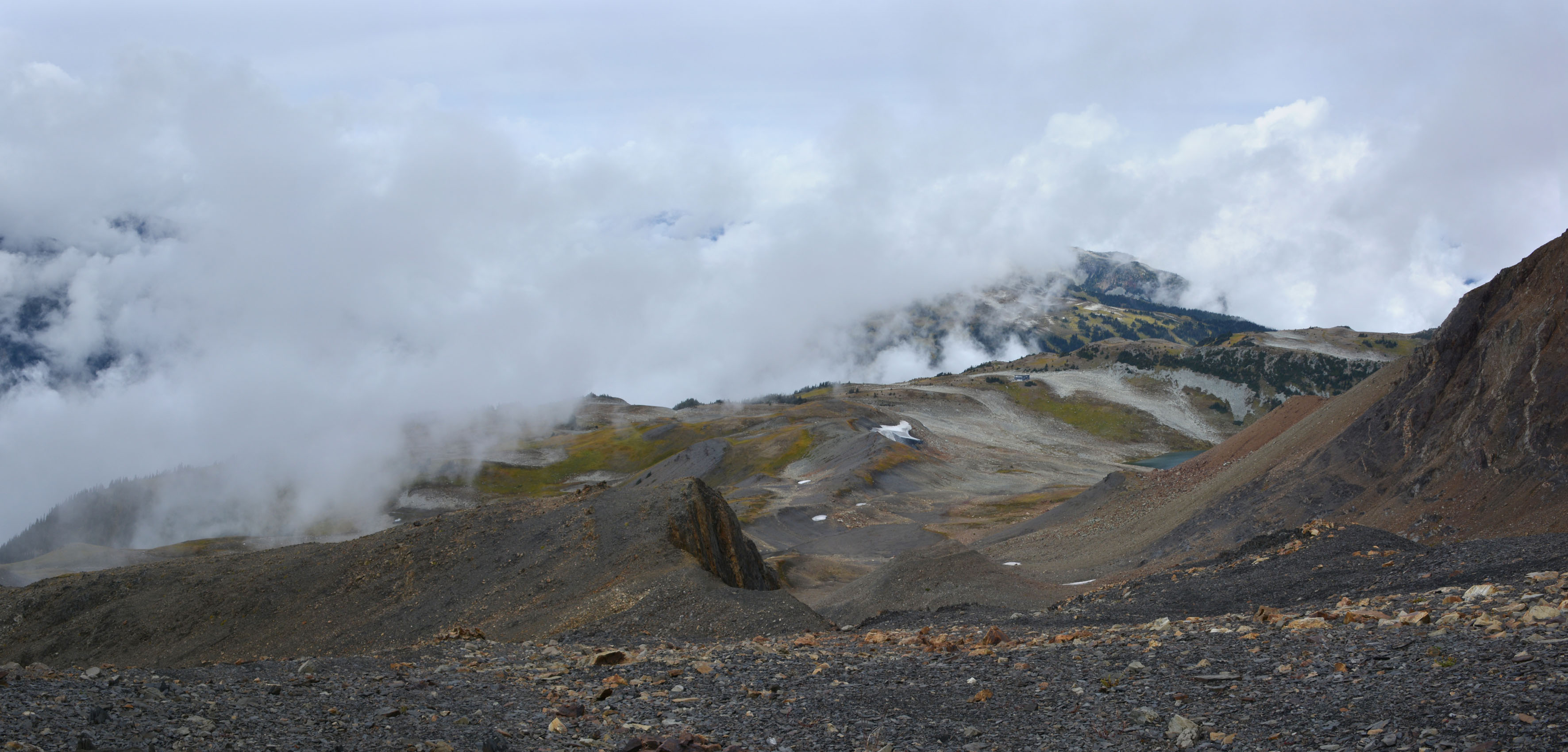
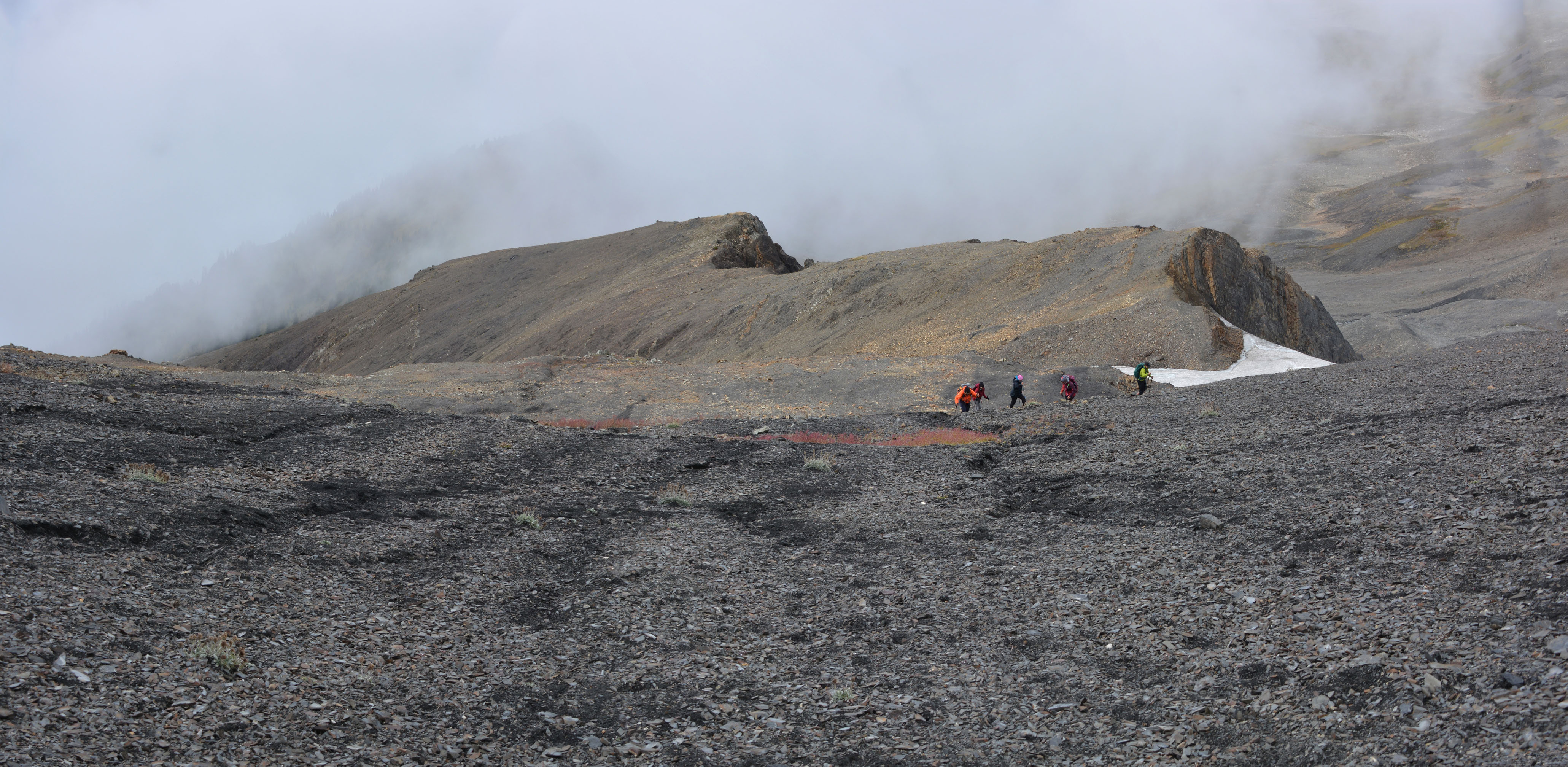
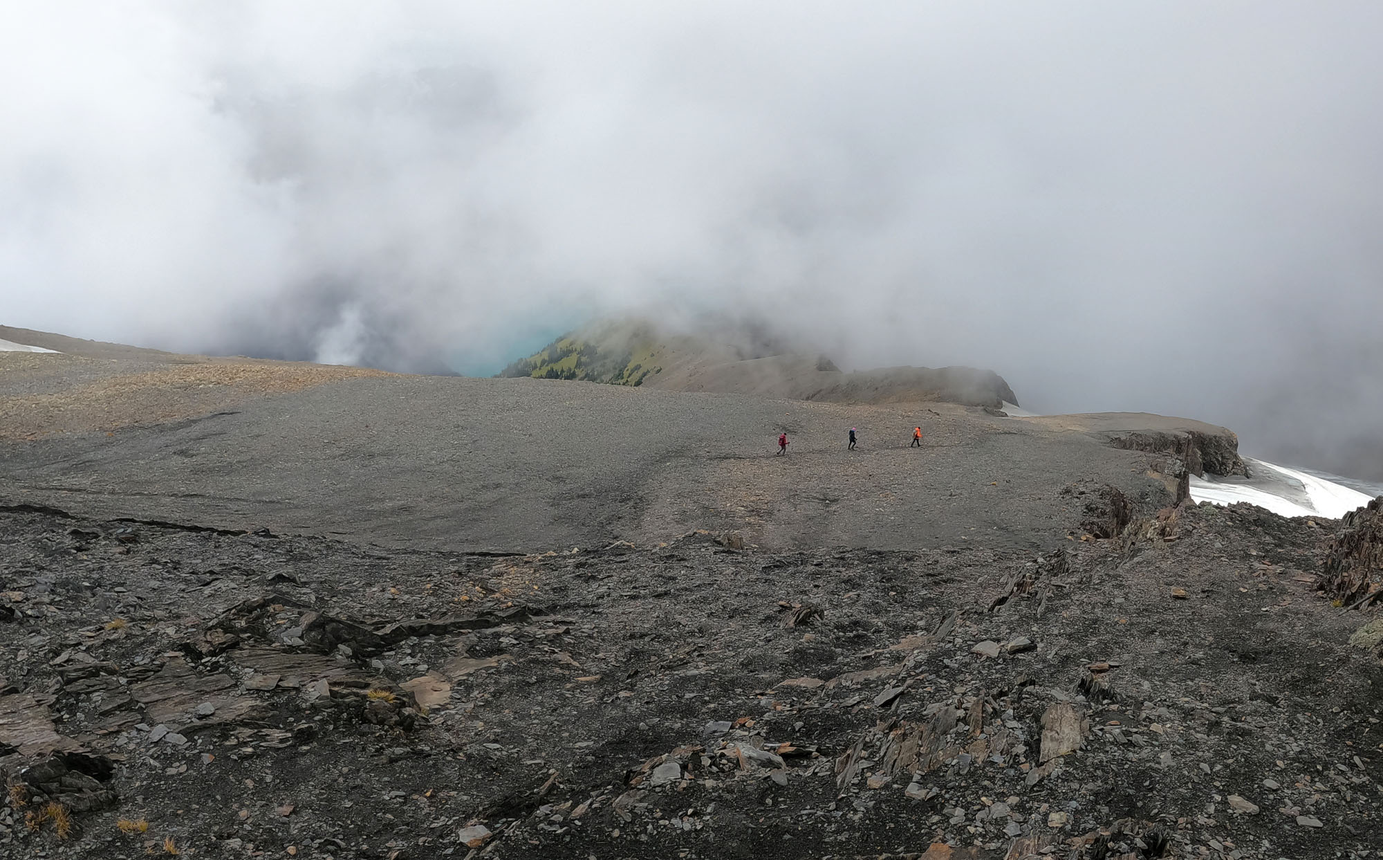
, les roches ne sont pas très stables, et on voit mal la suite du chemin qu'il faudrait prendre.")


.")


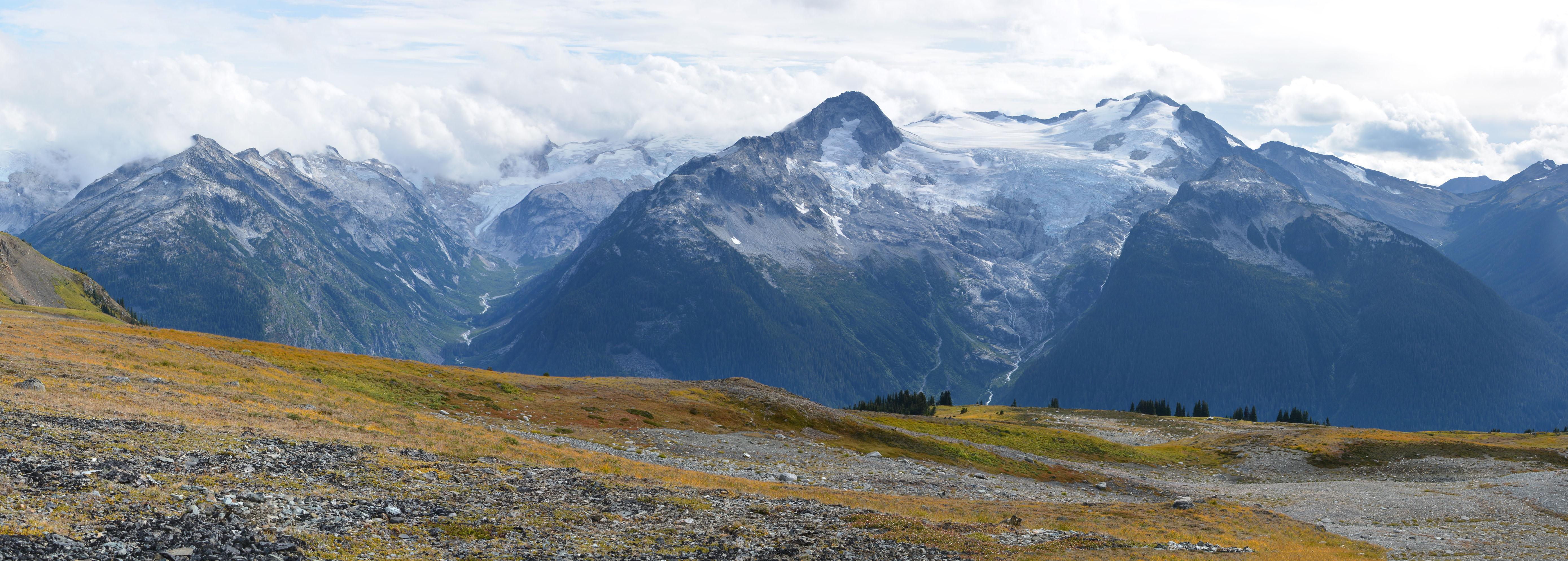

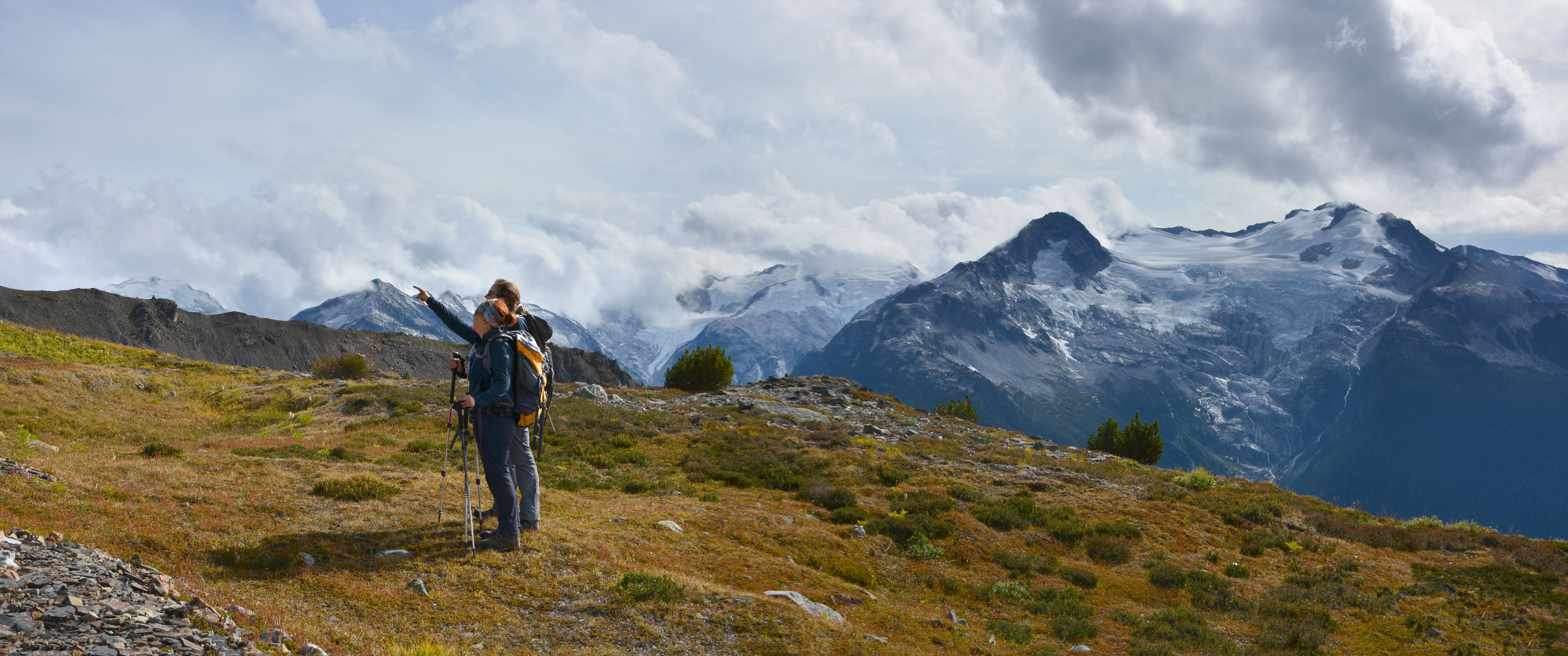


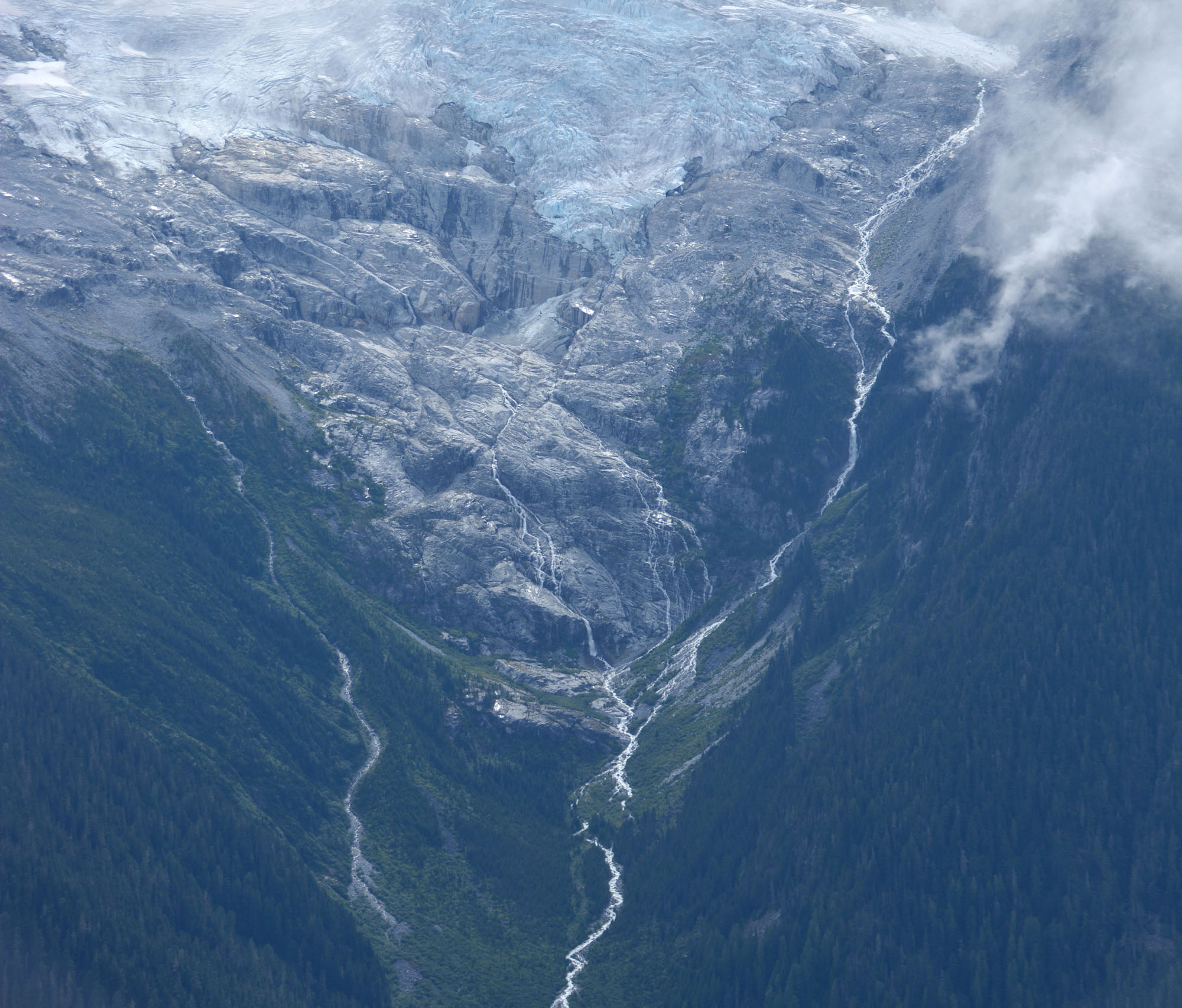

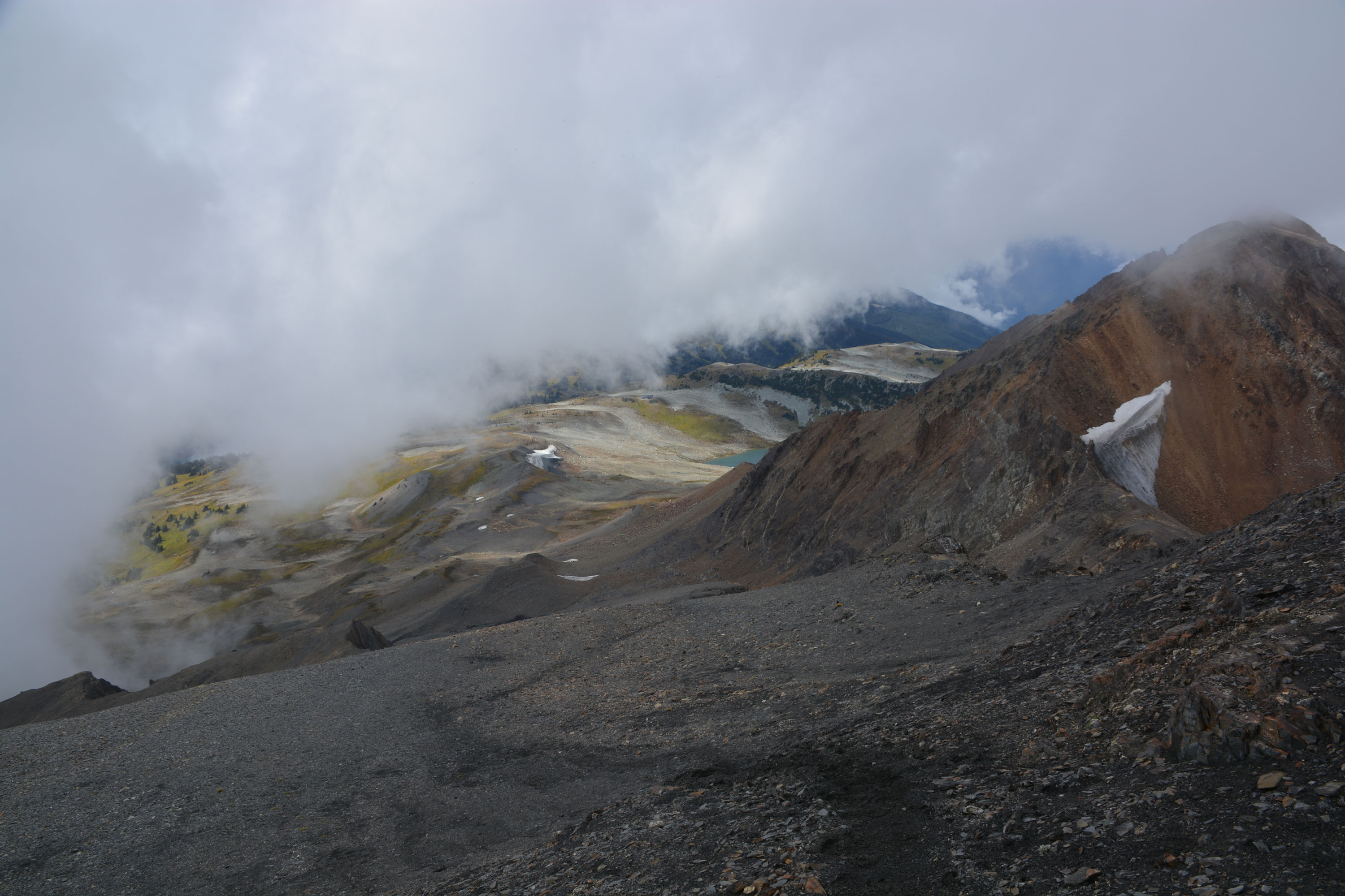
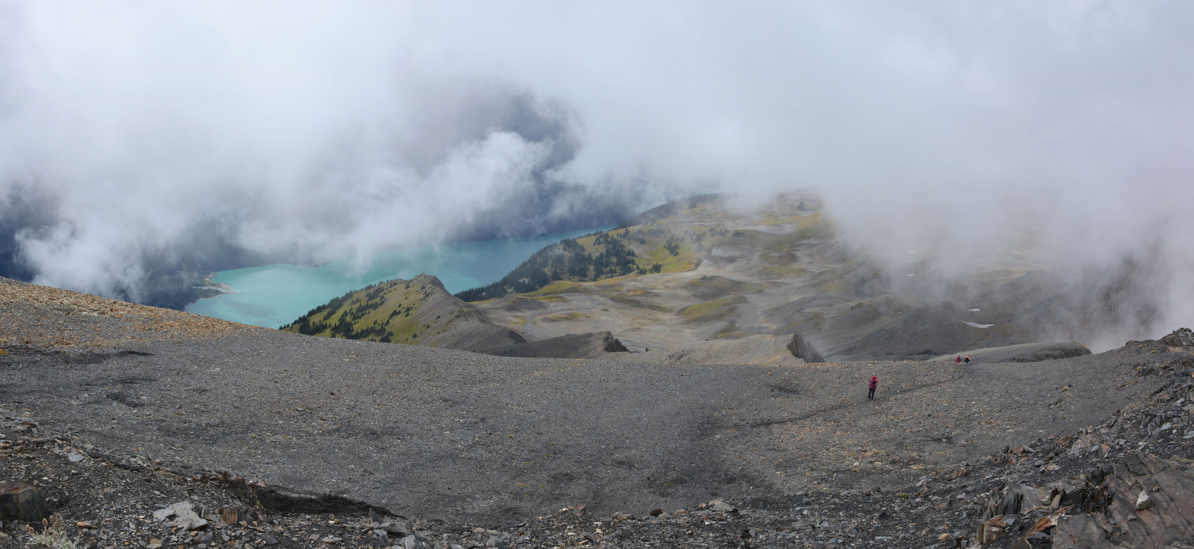
, Overlord Glacier et Whirlwind Peak.")
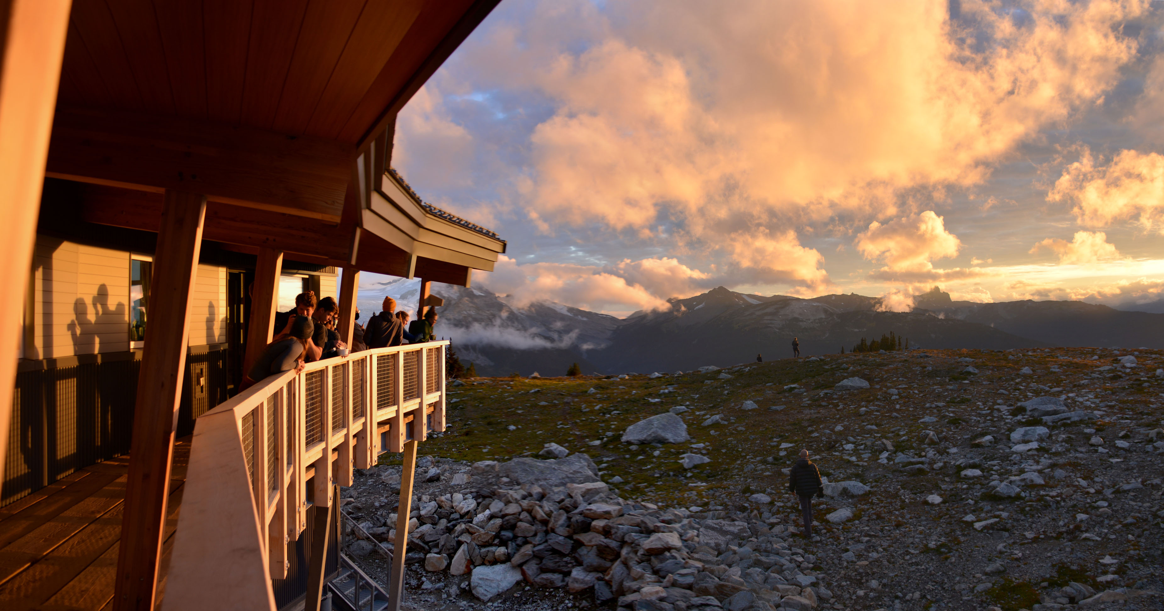
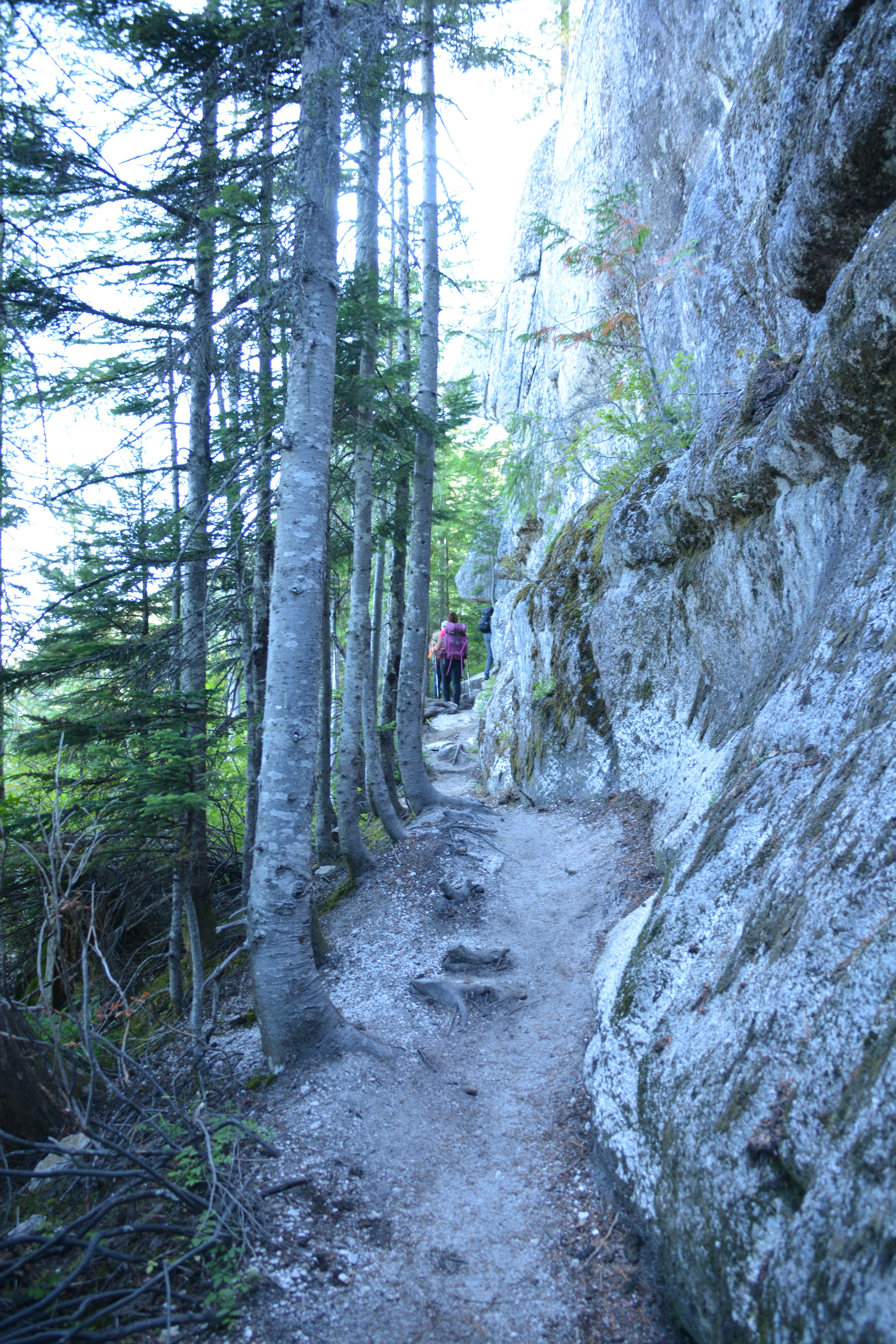
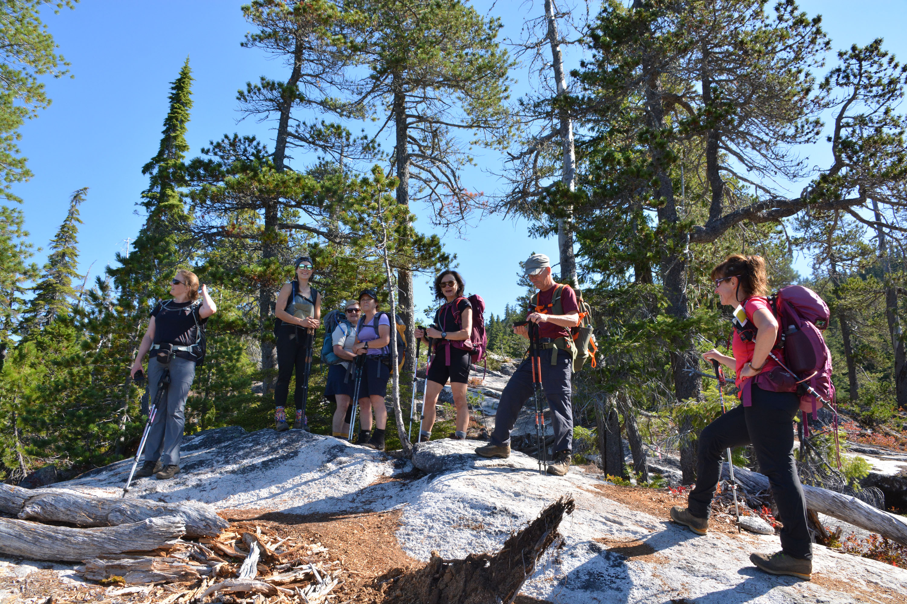
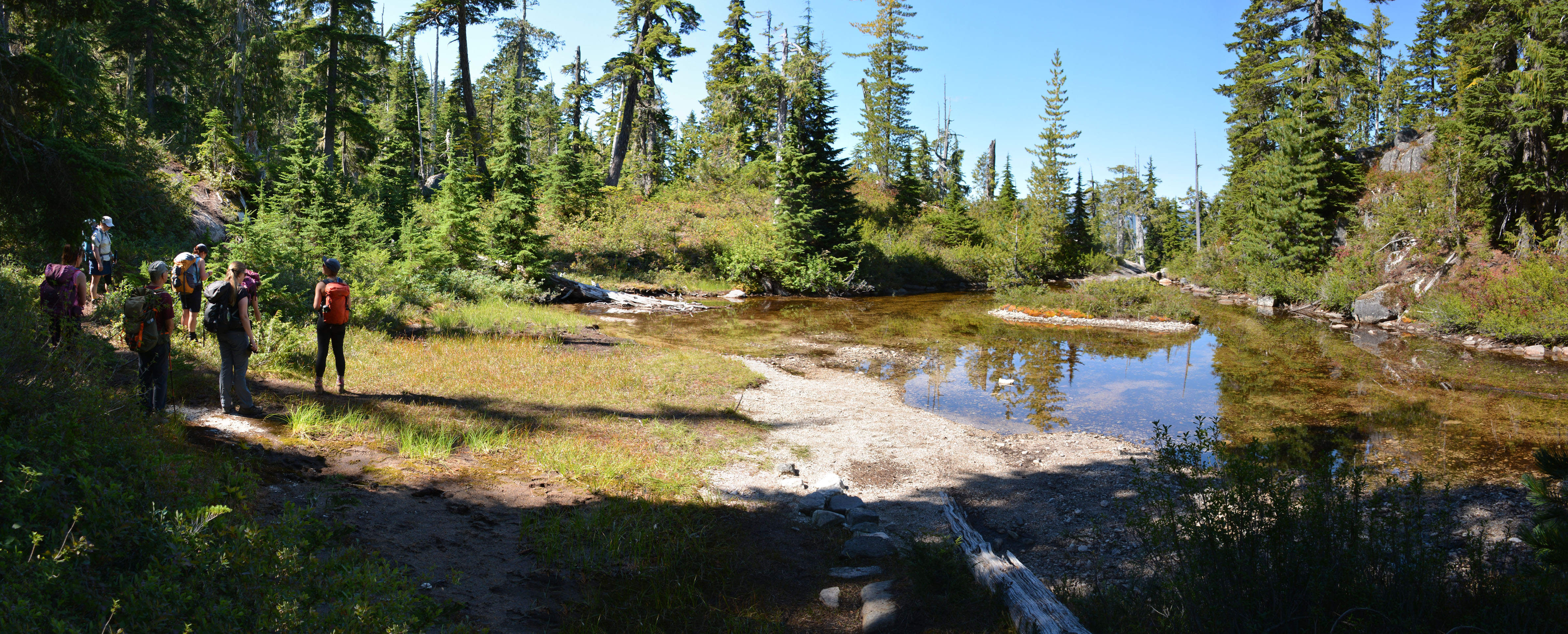
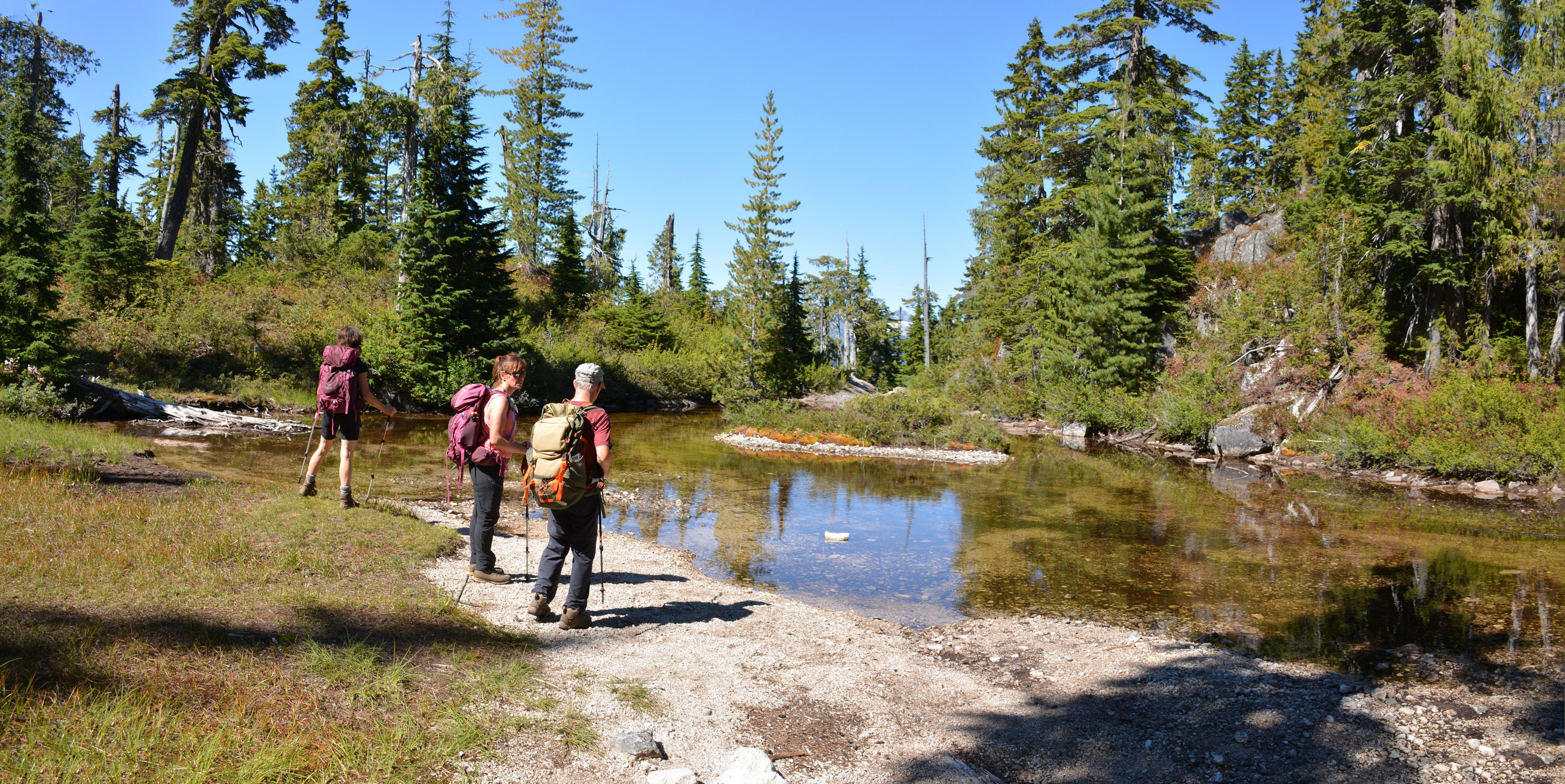
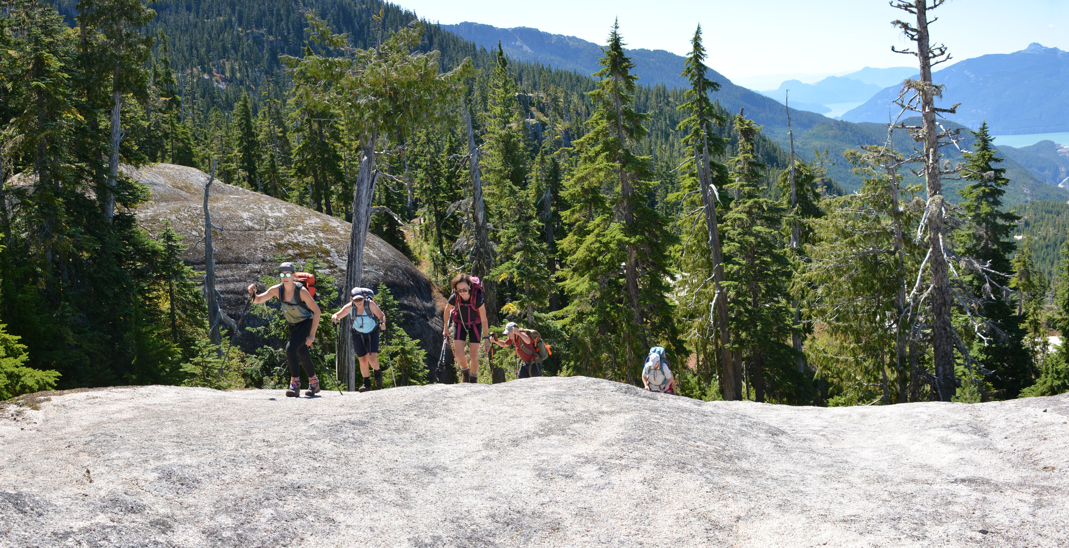
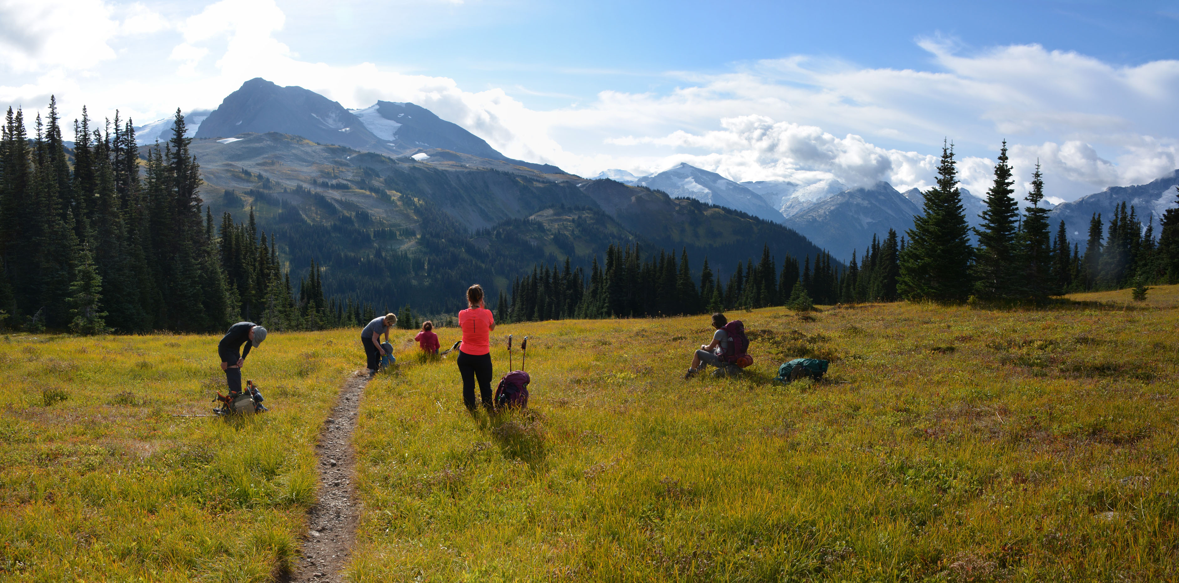
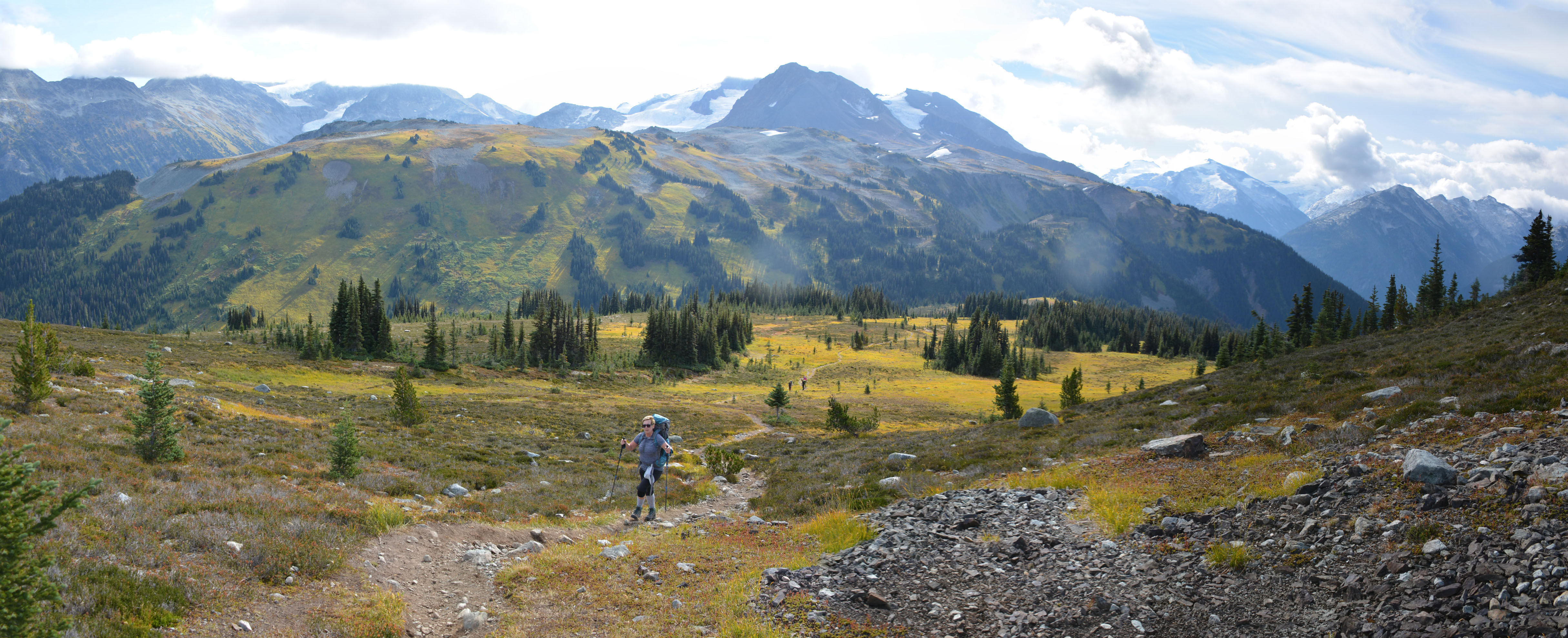
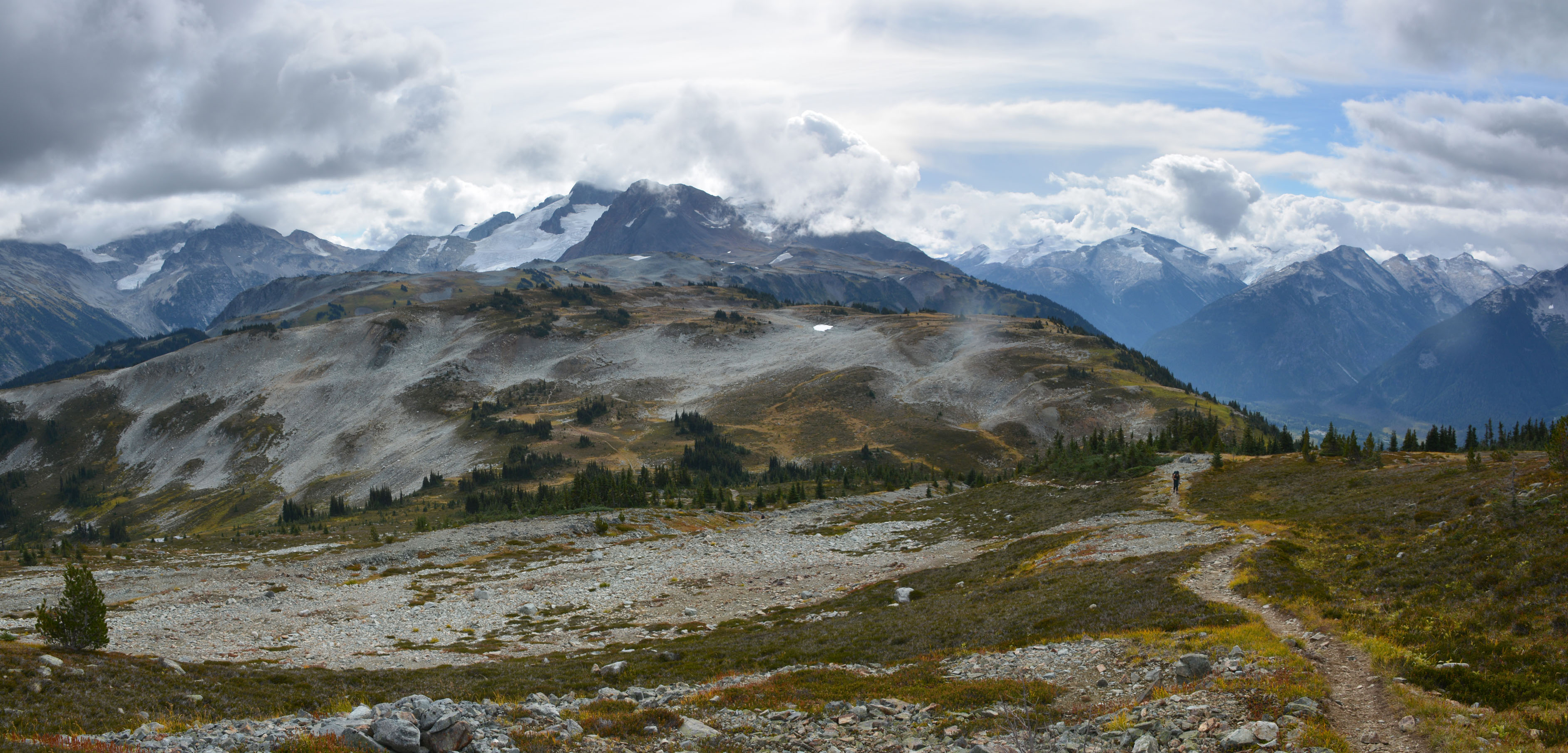
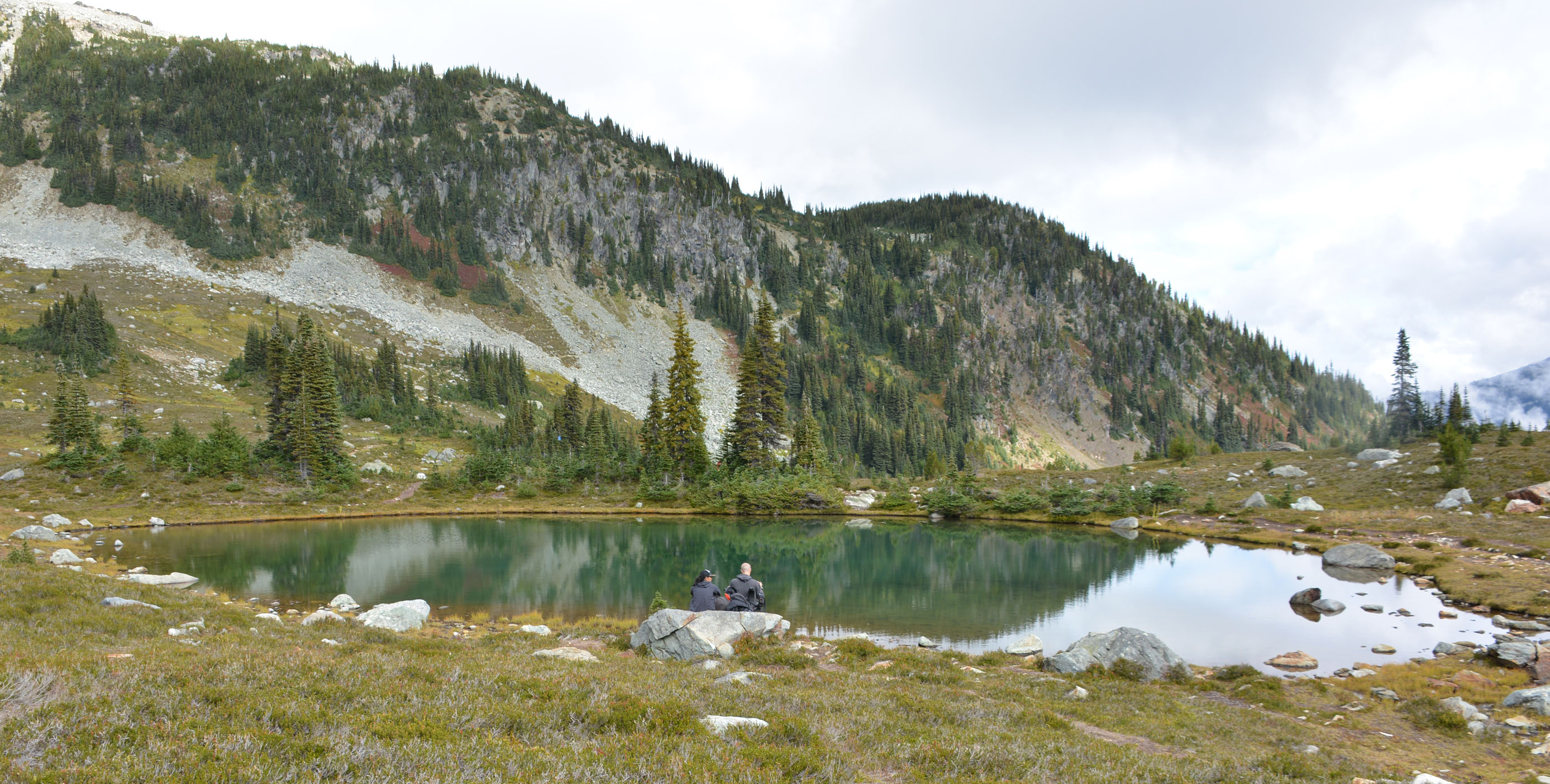
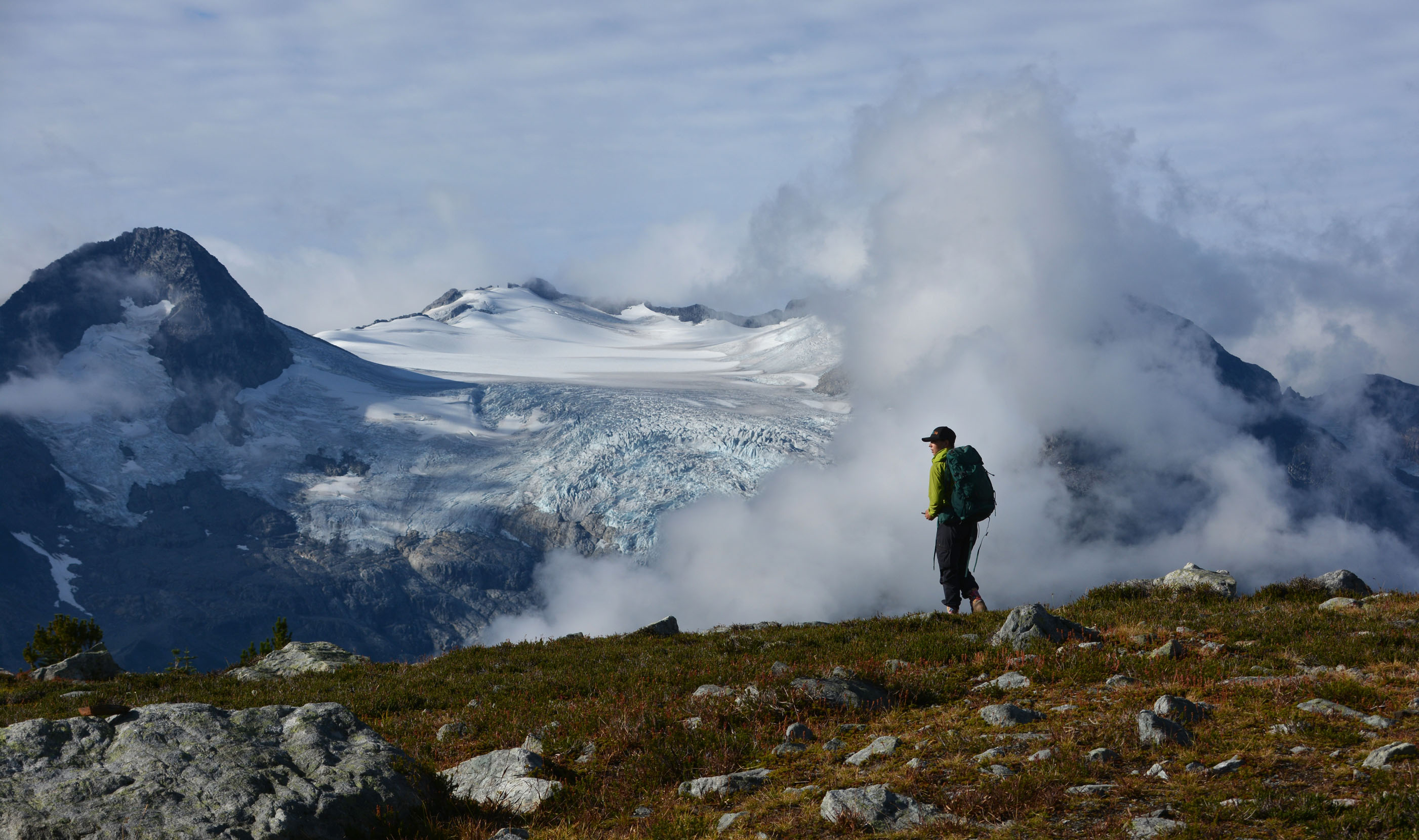
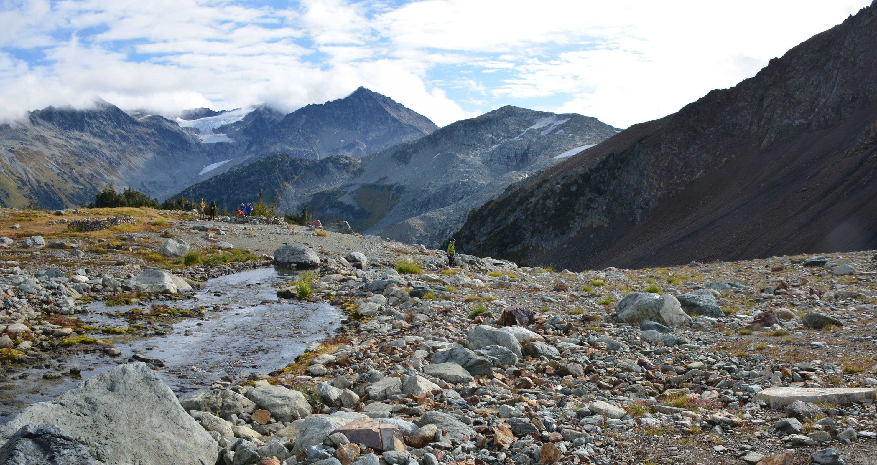
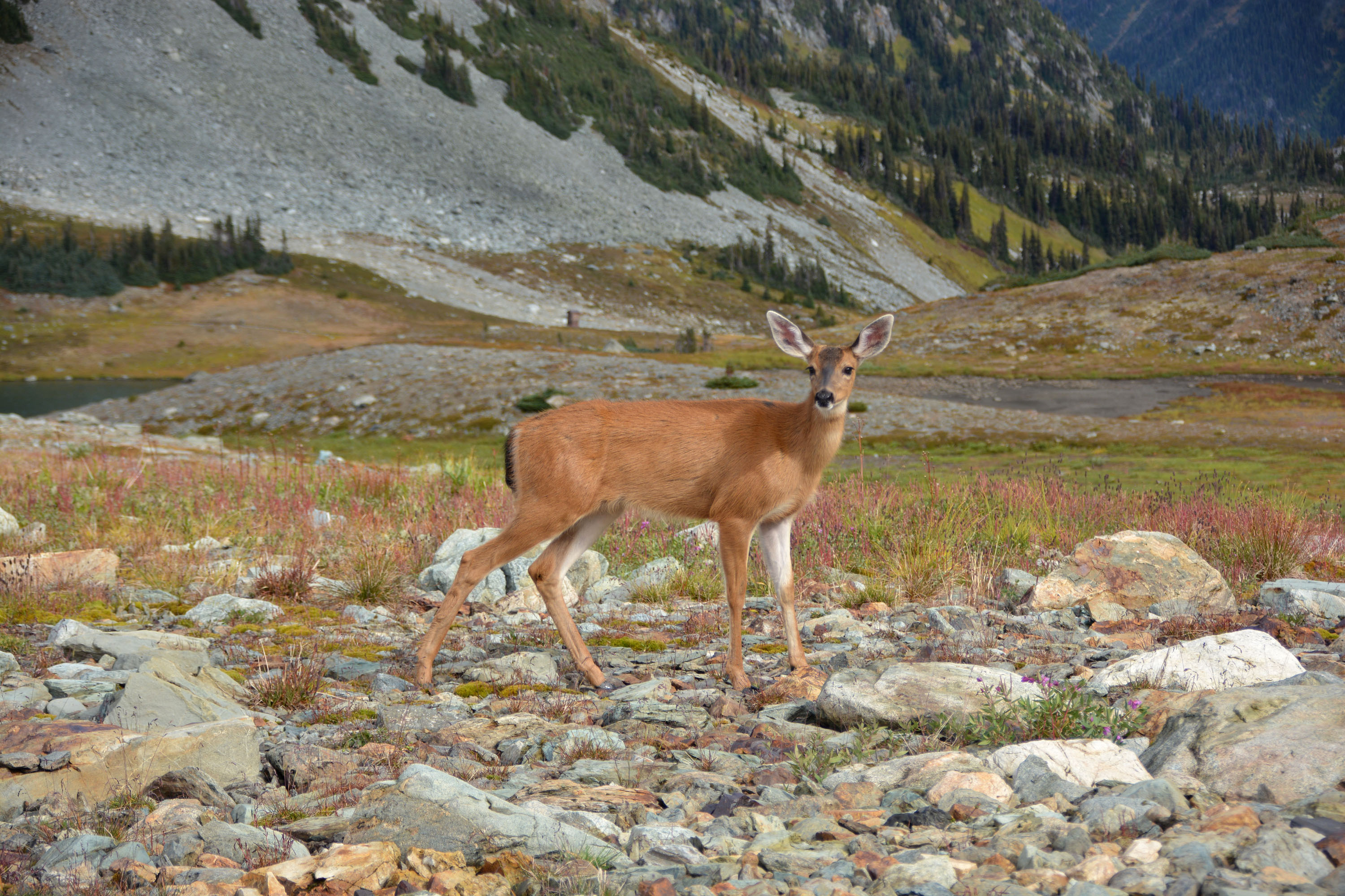
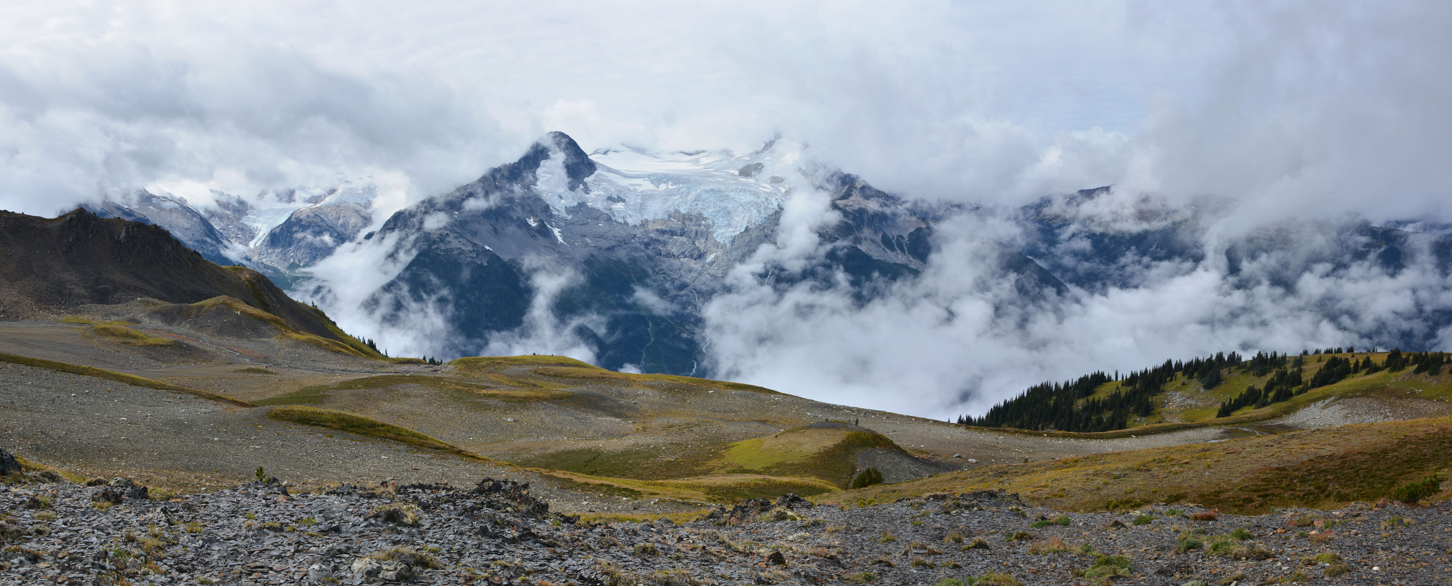
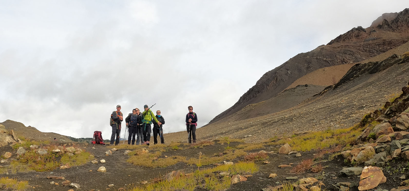
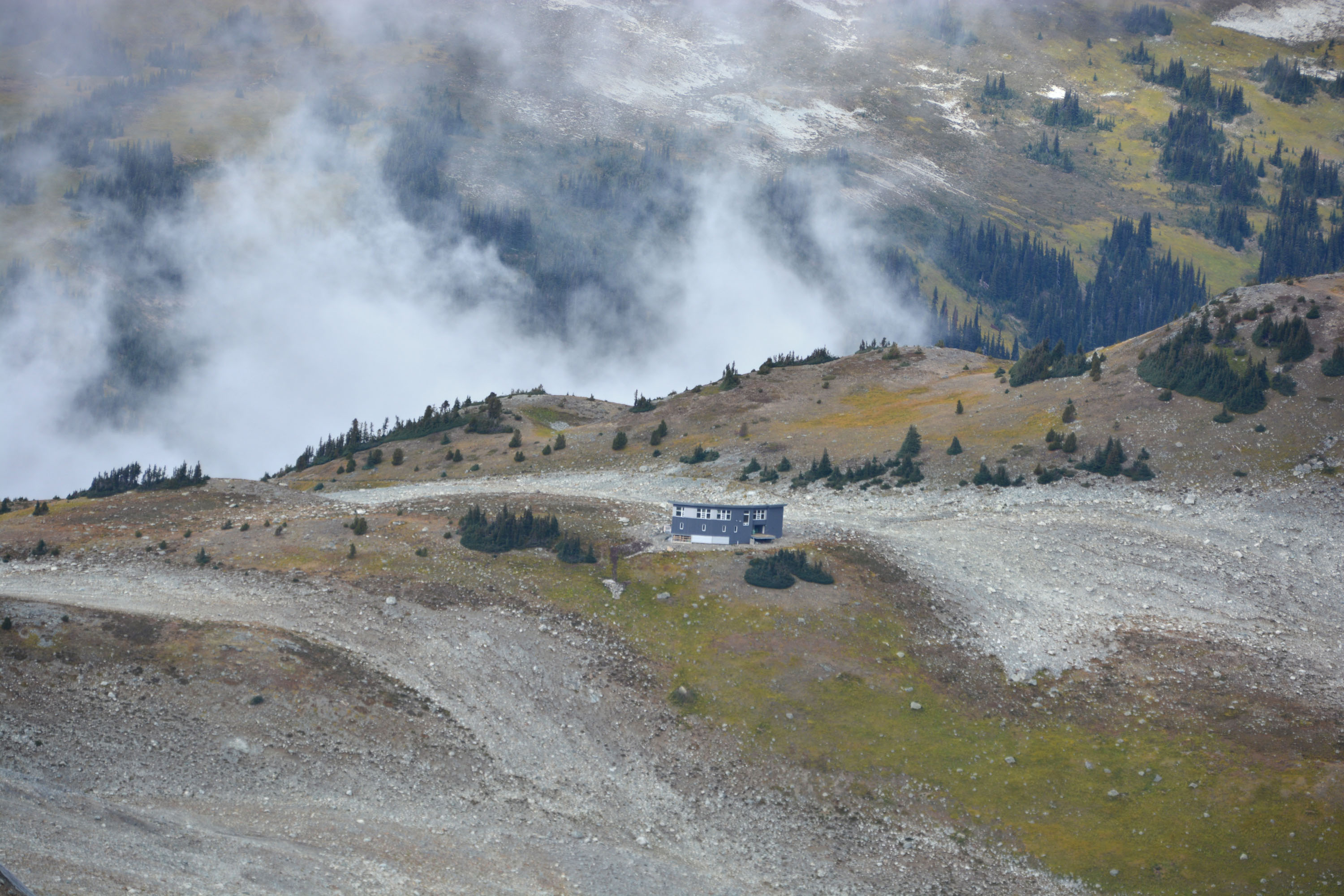
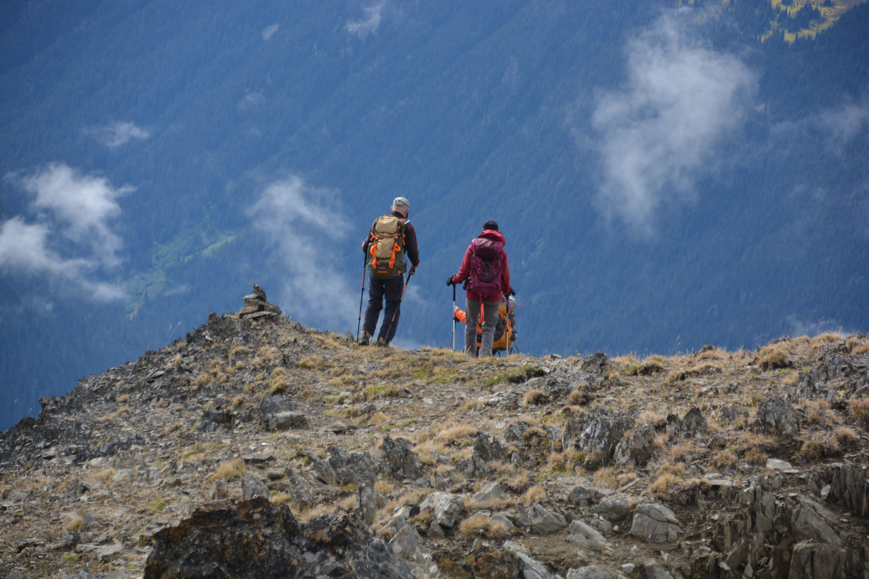
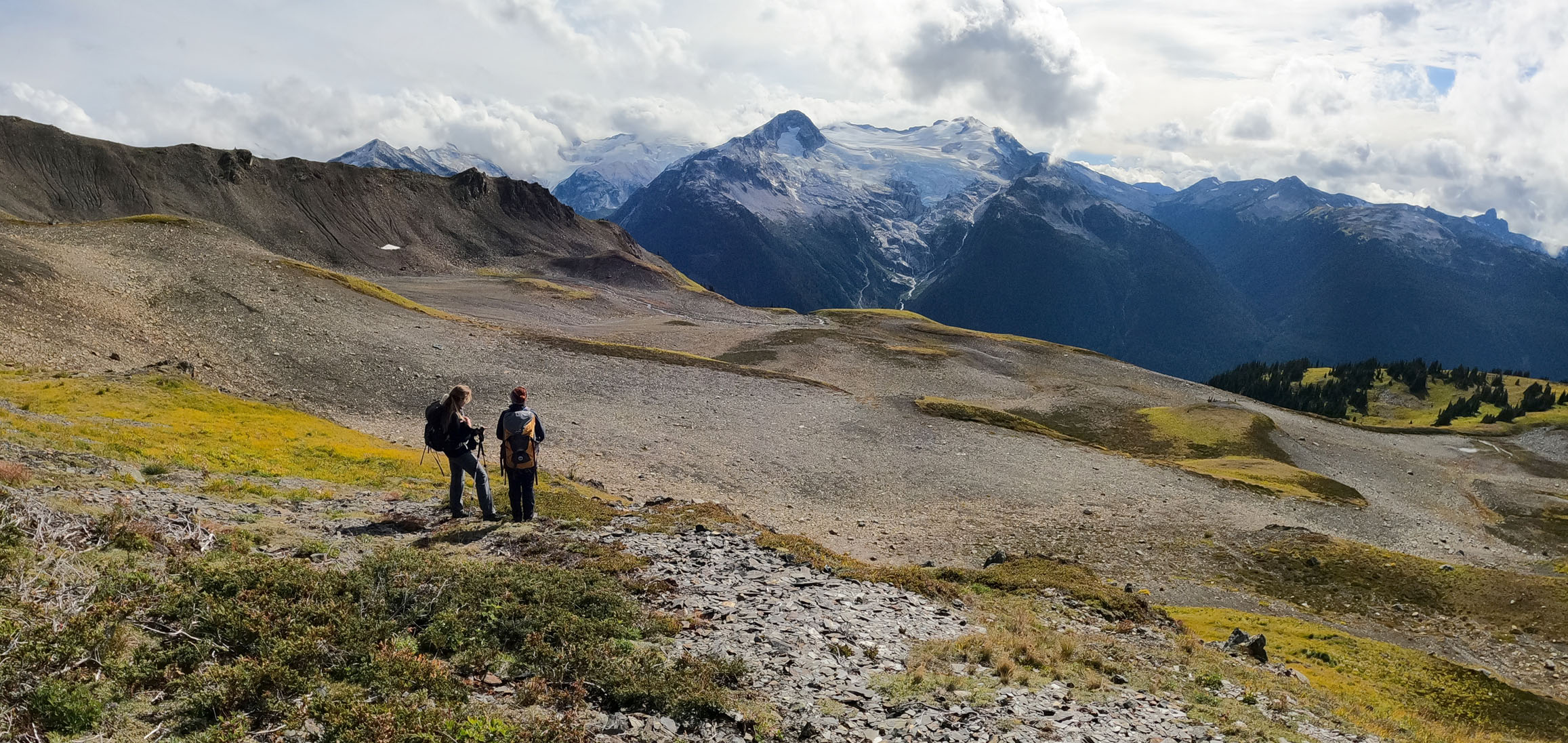
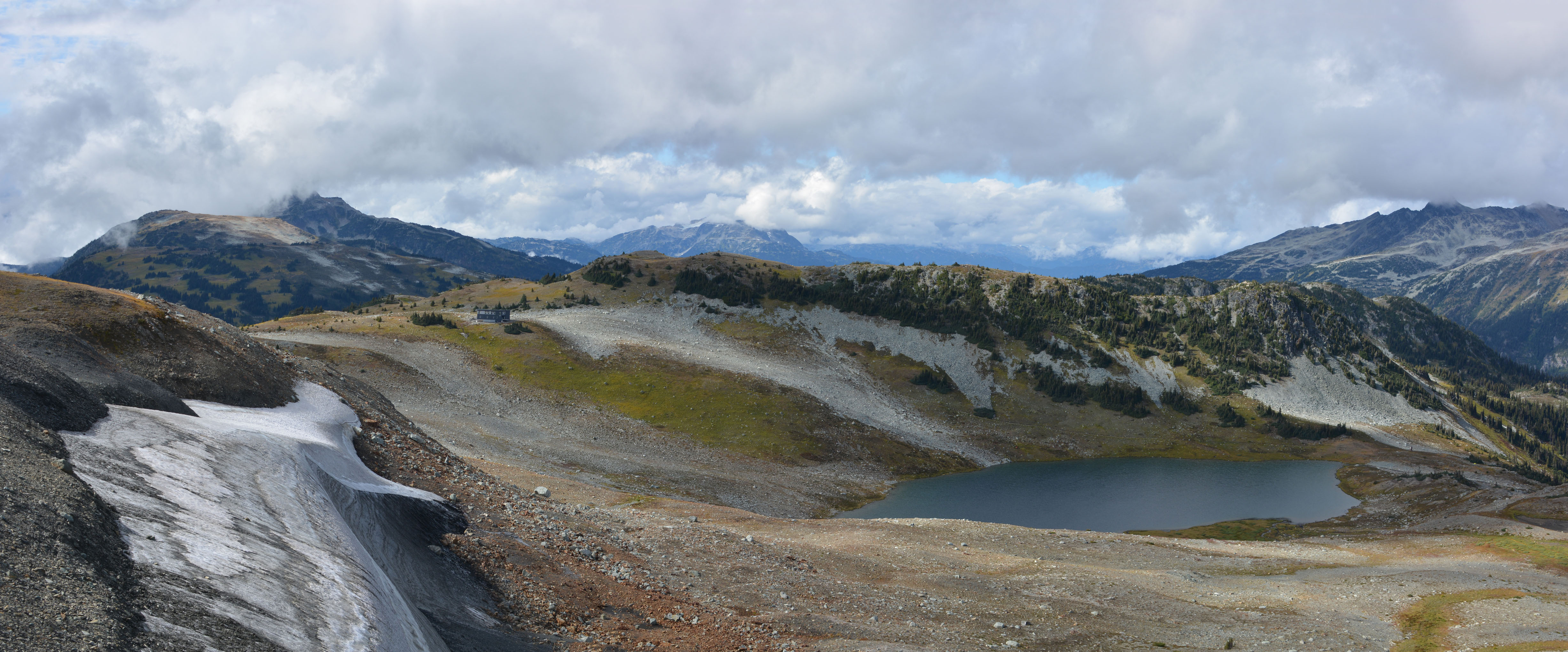
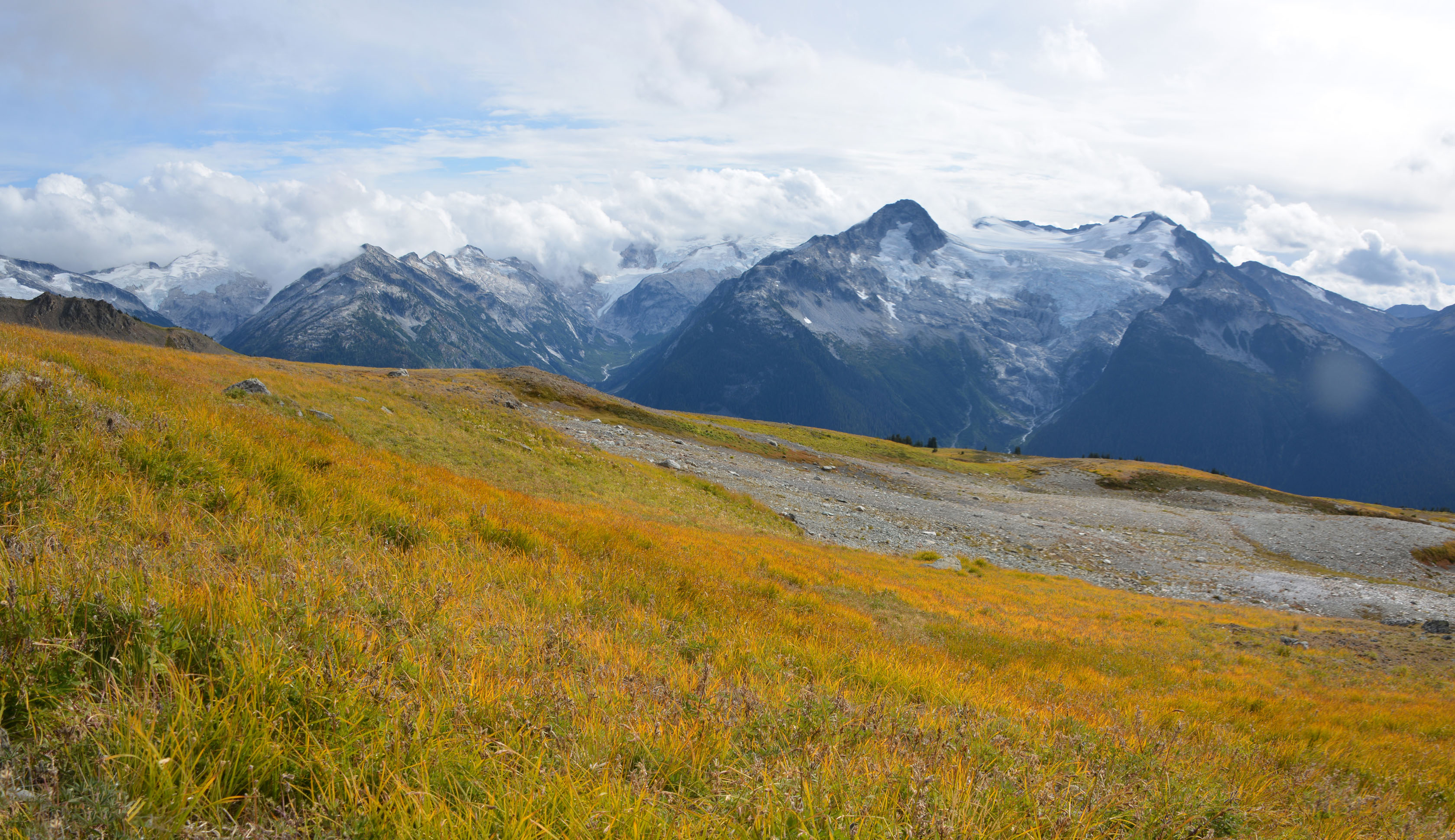
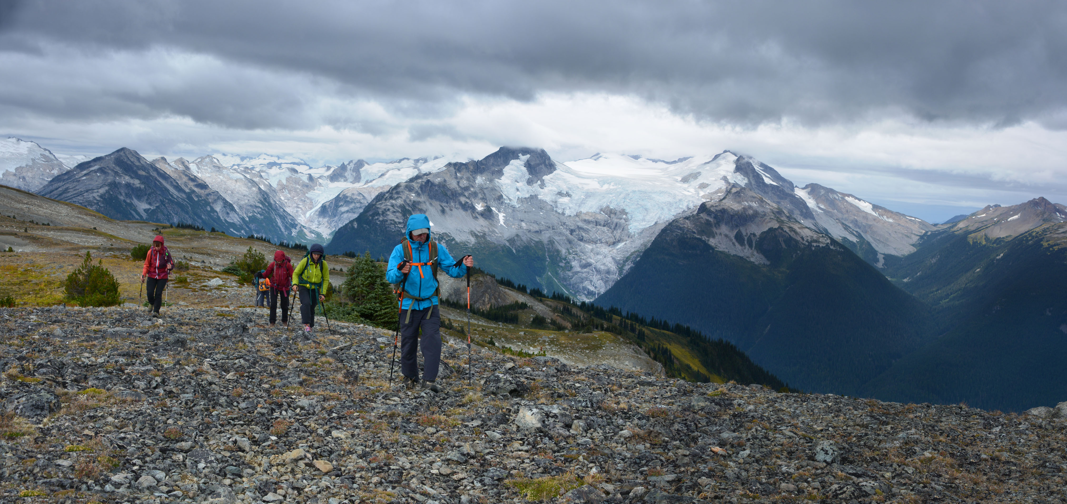
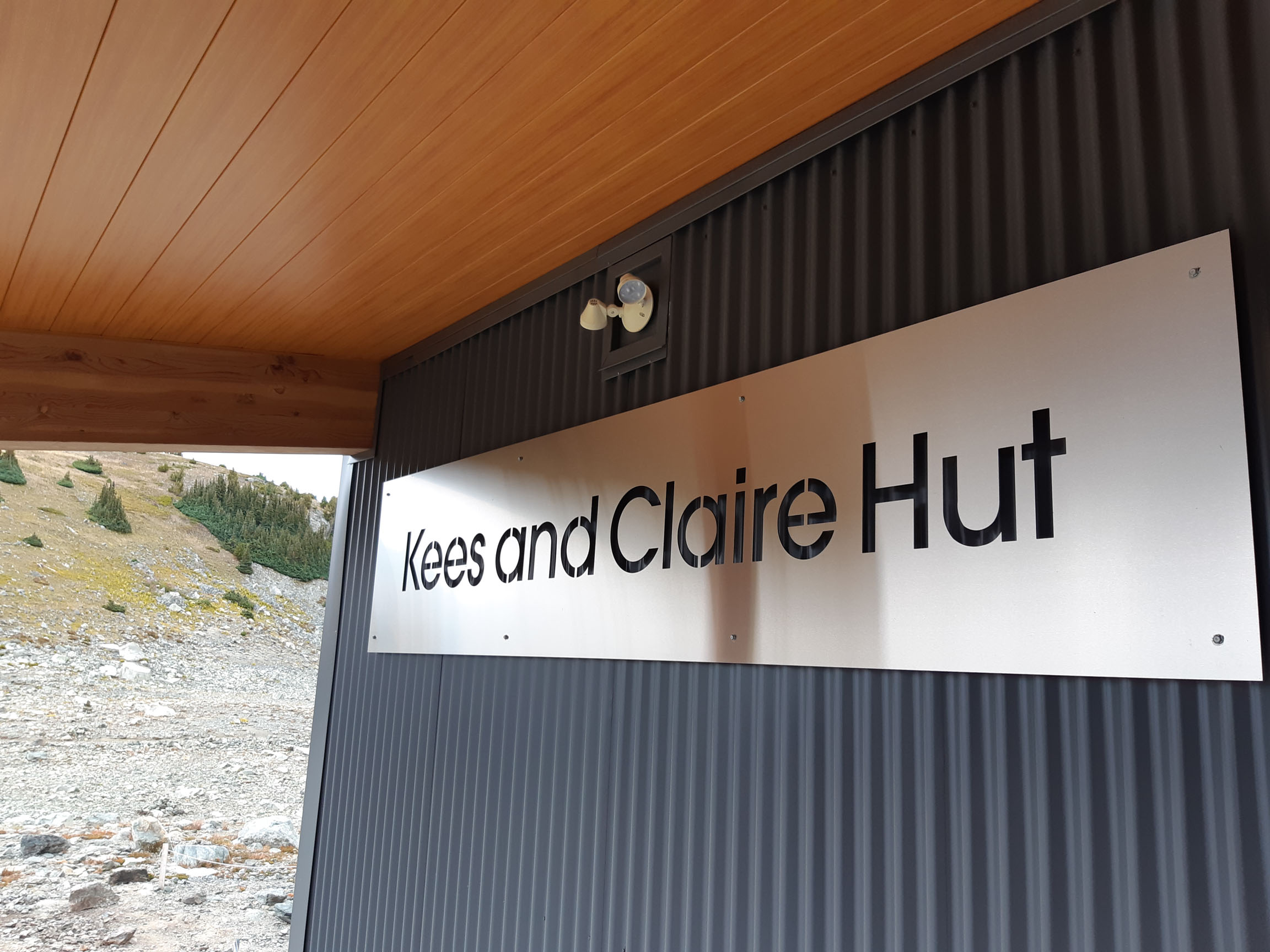
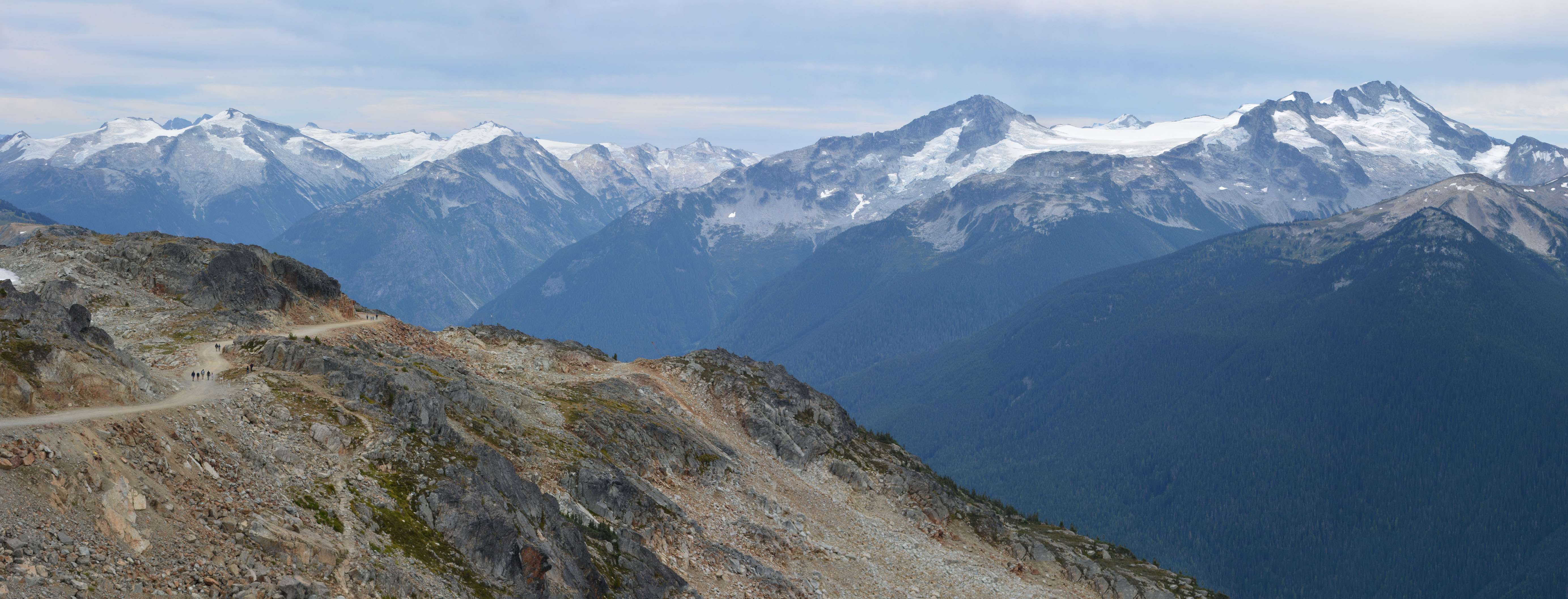
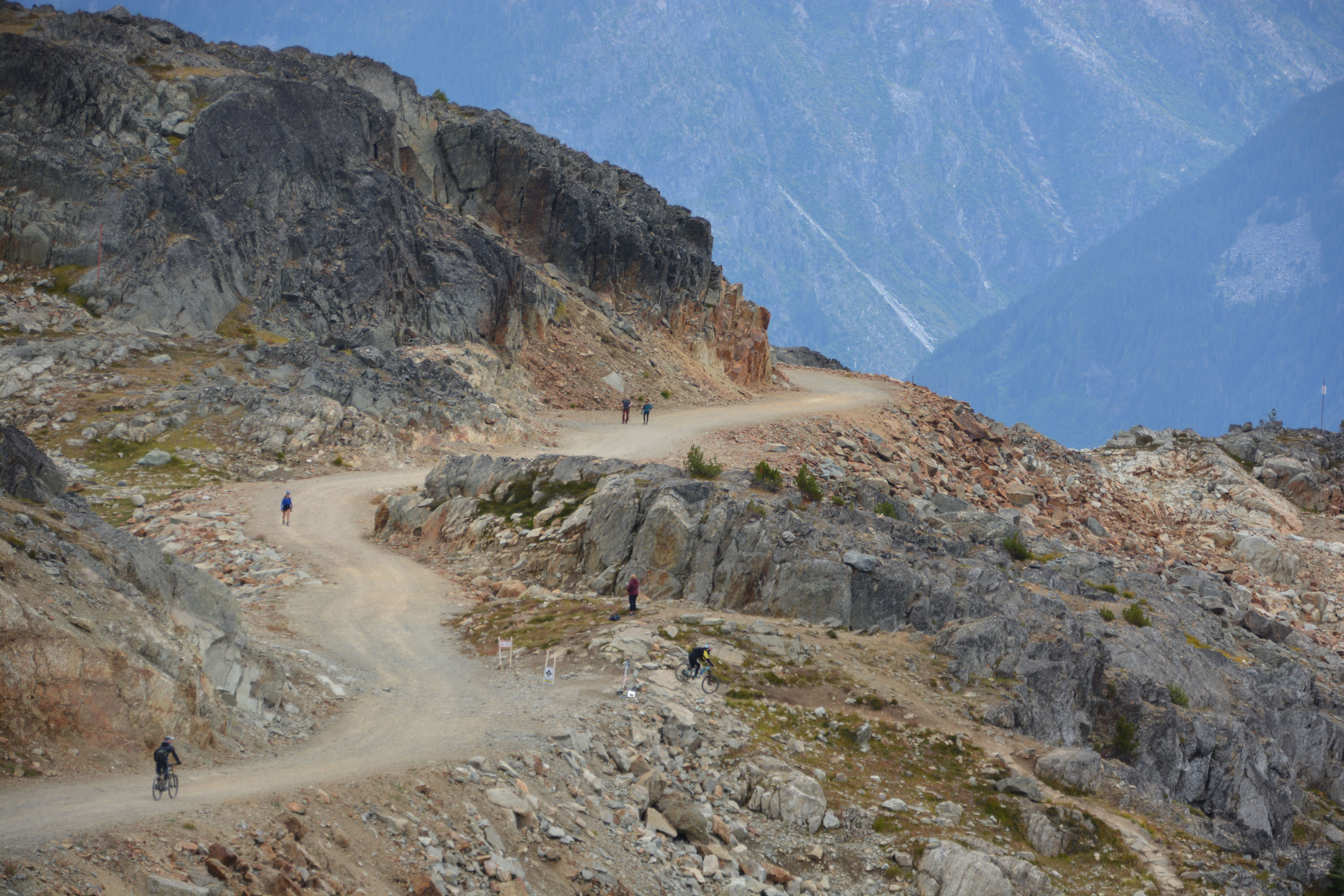
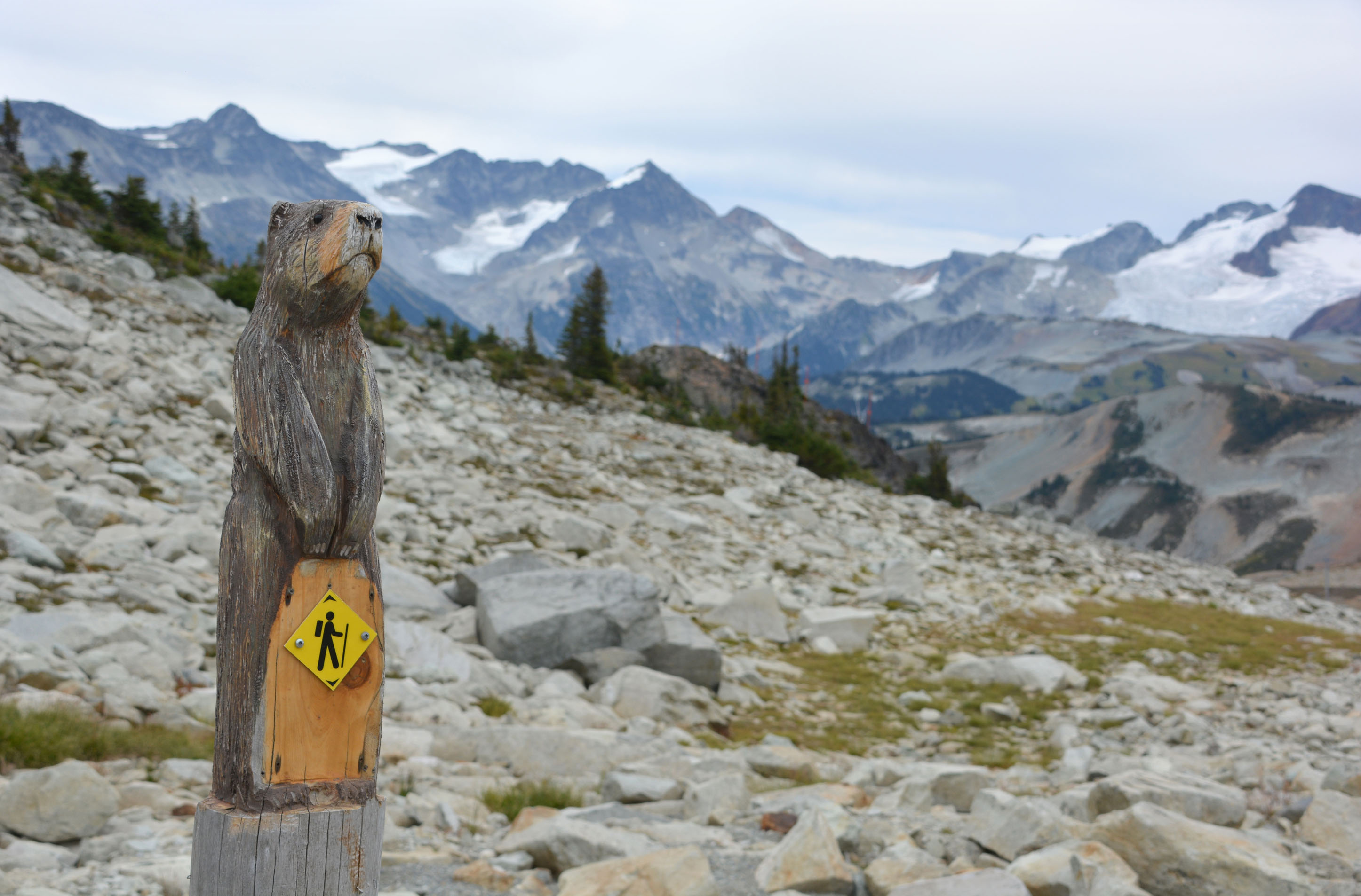
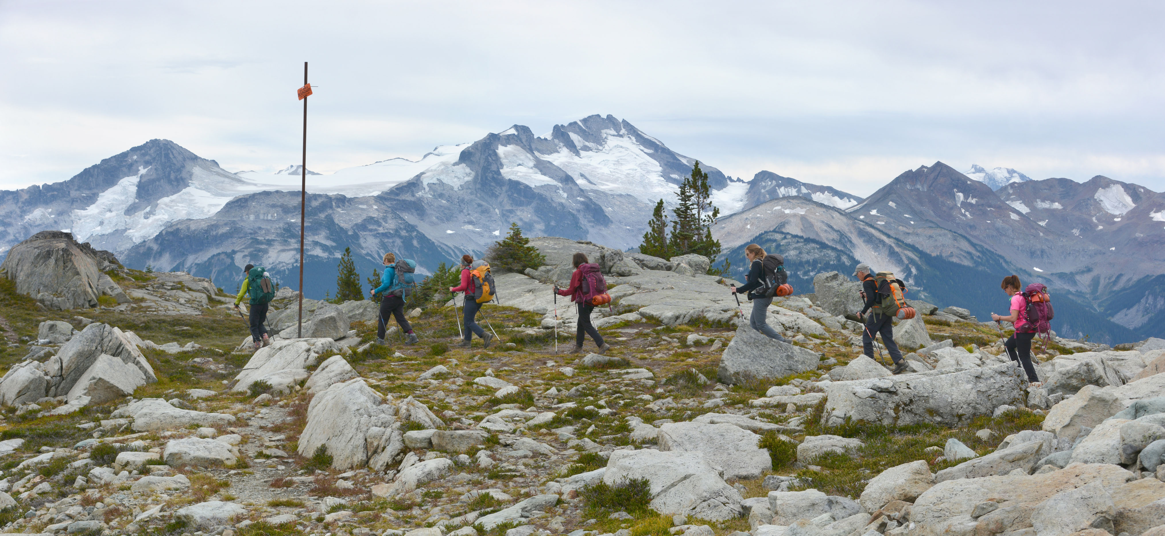
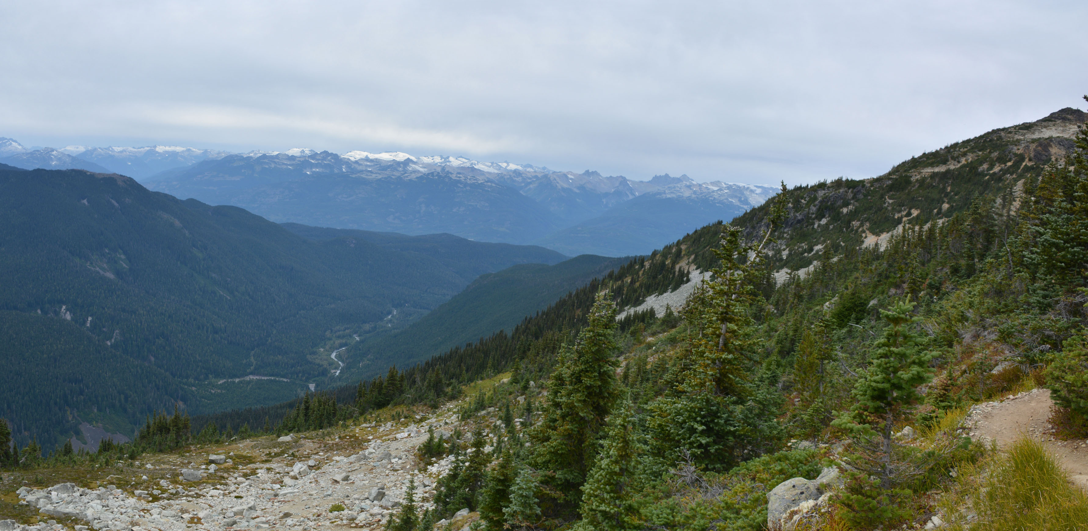
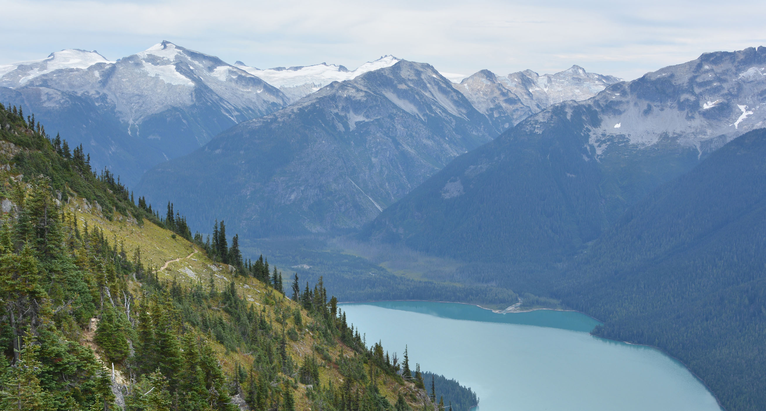
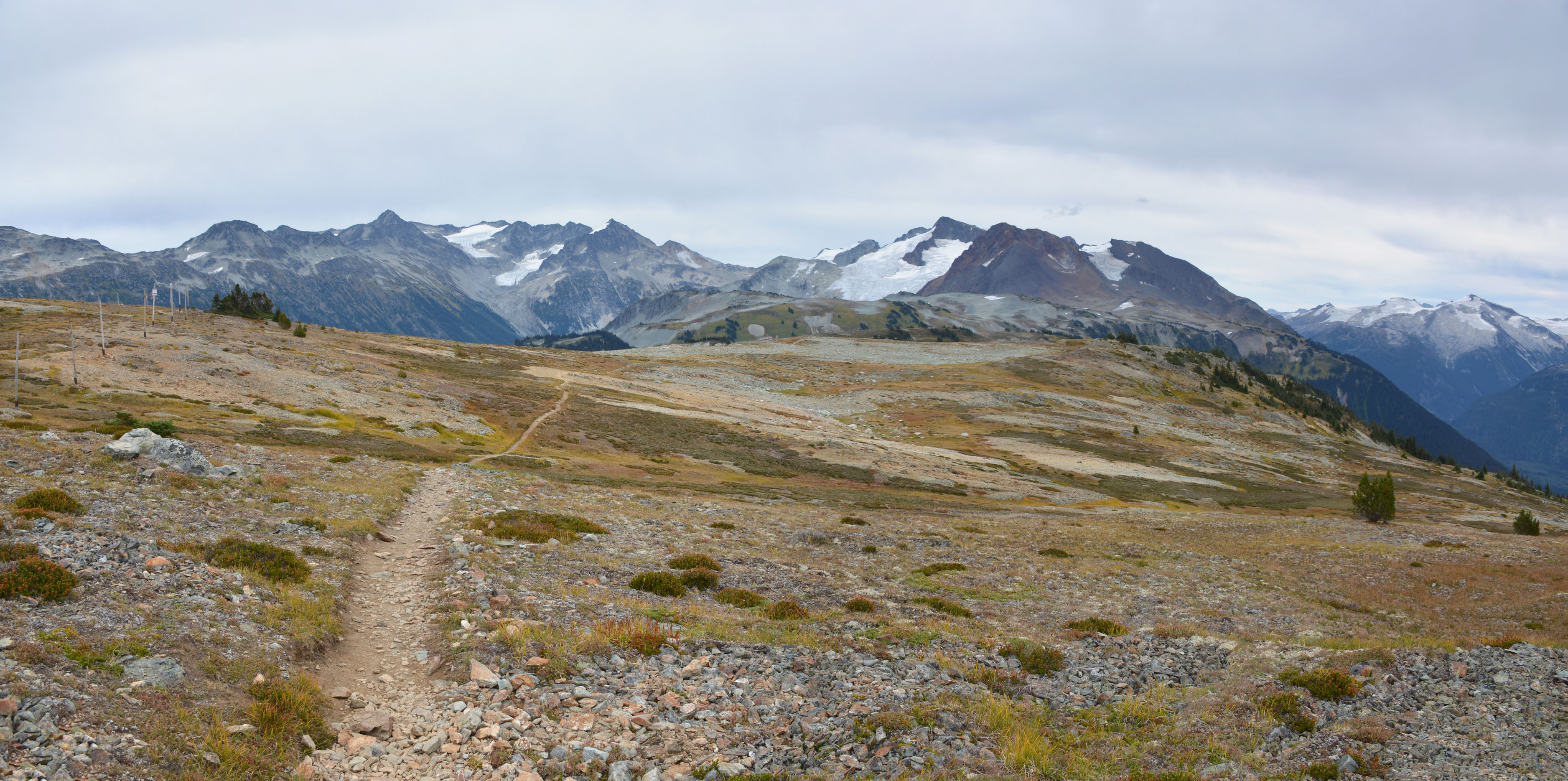
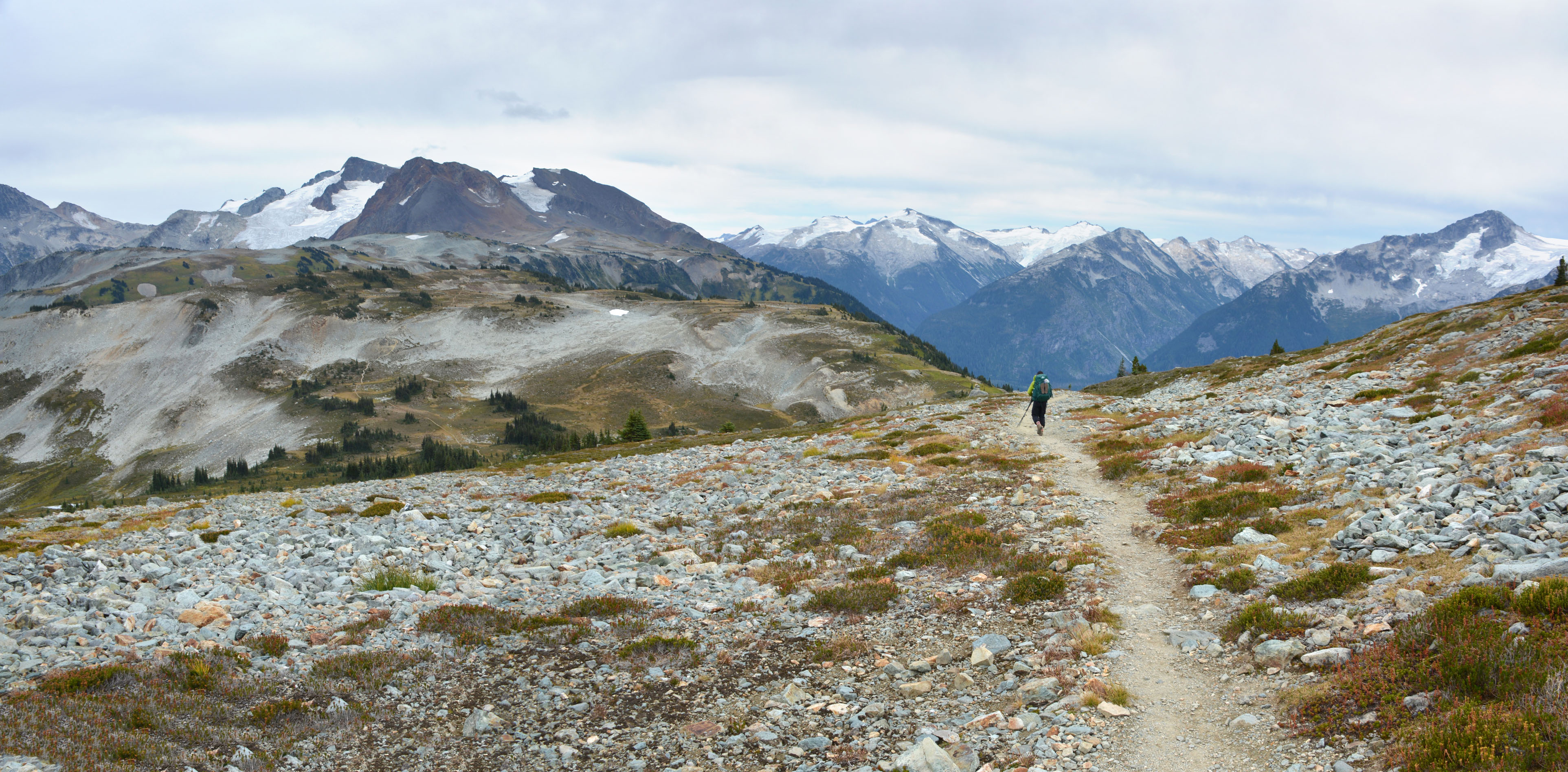
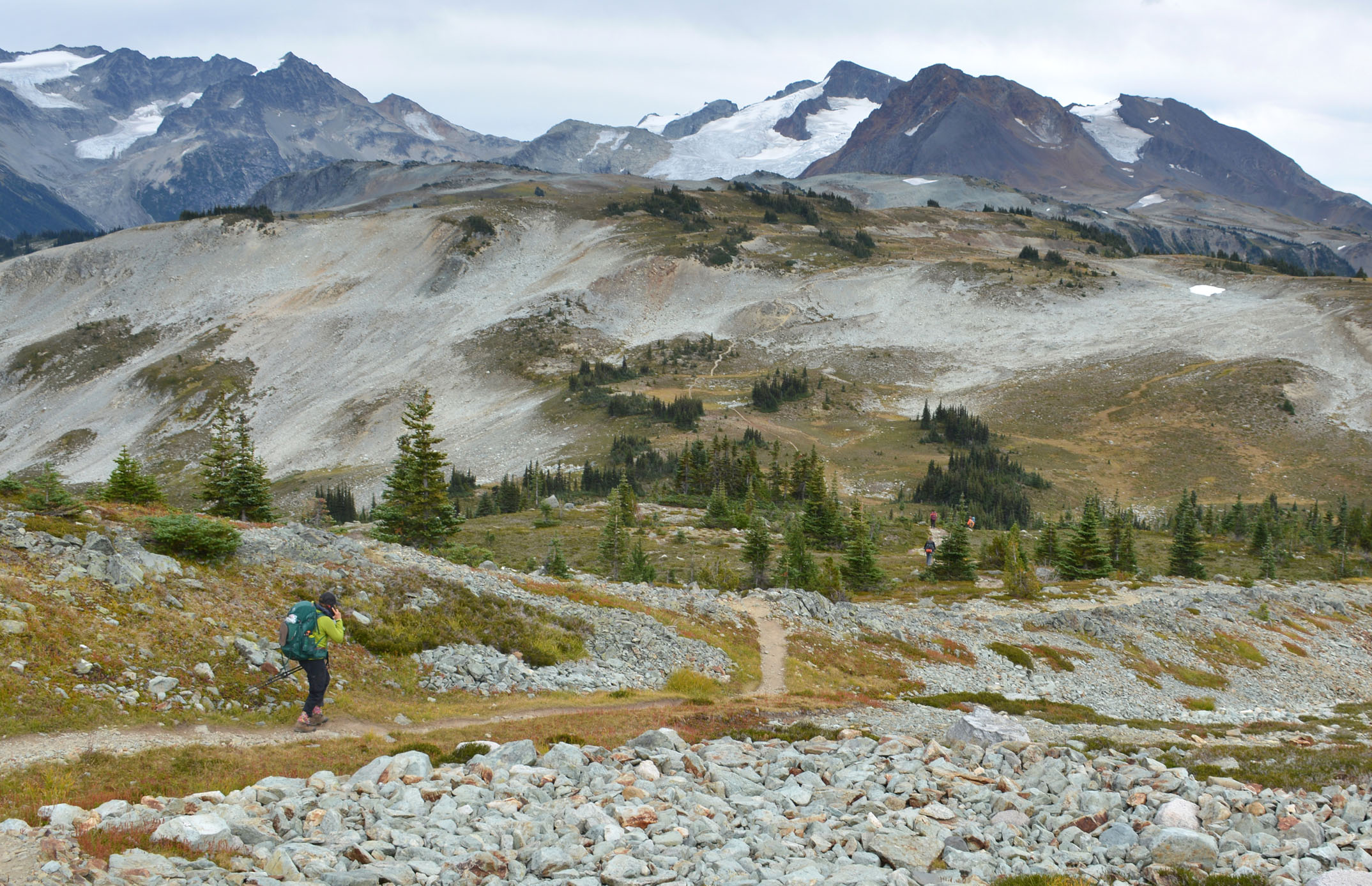
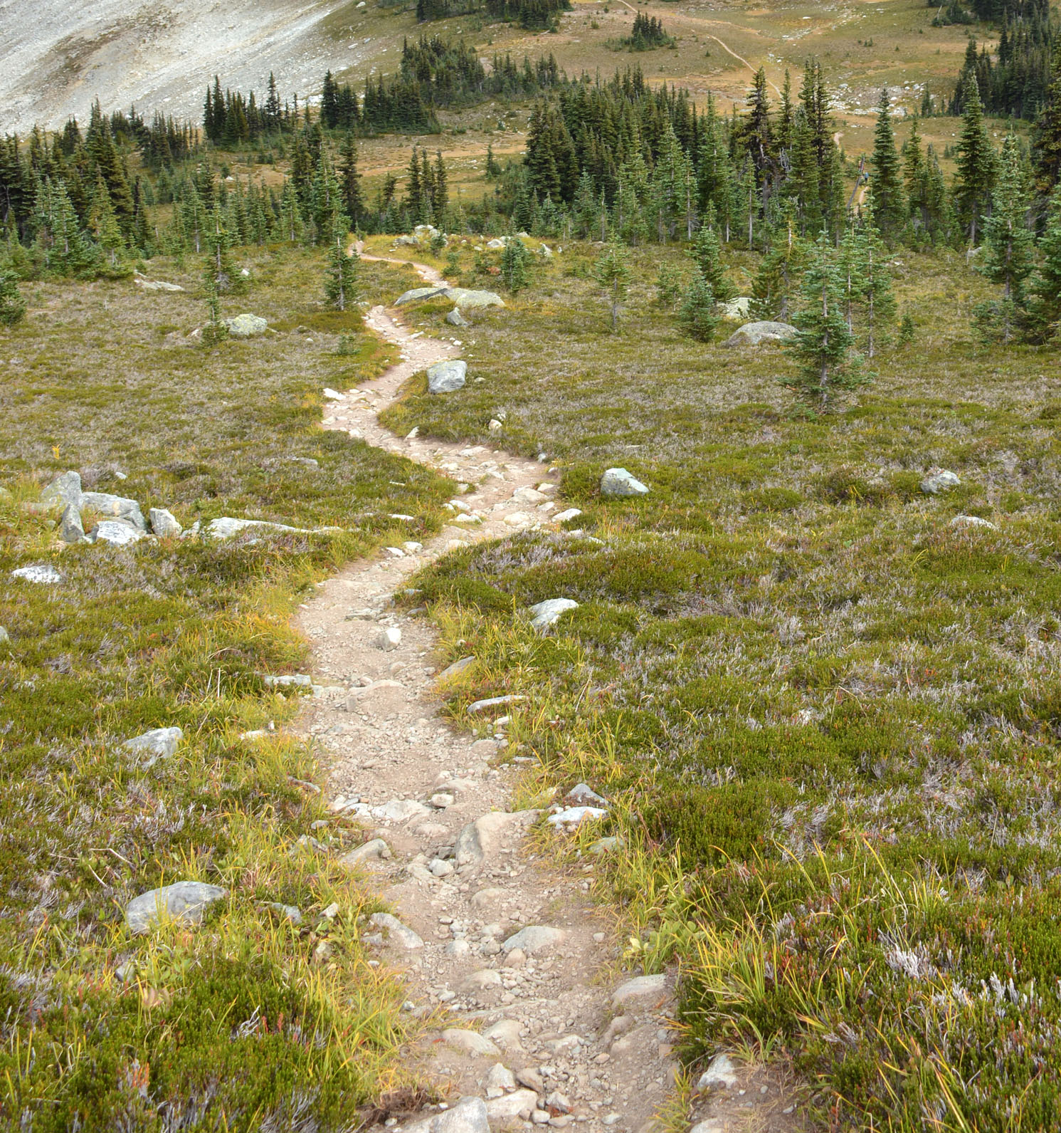
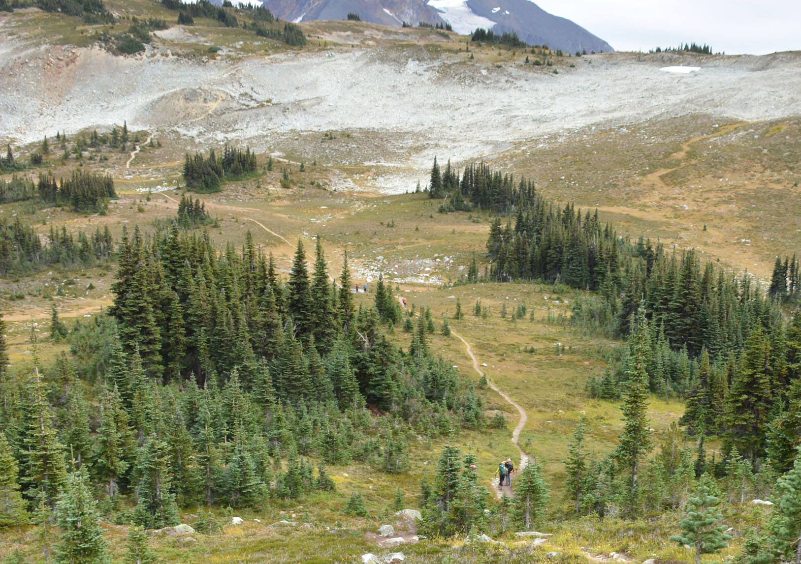
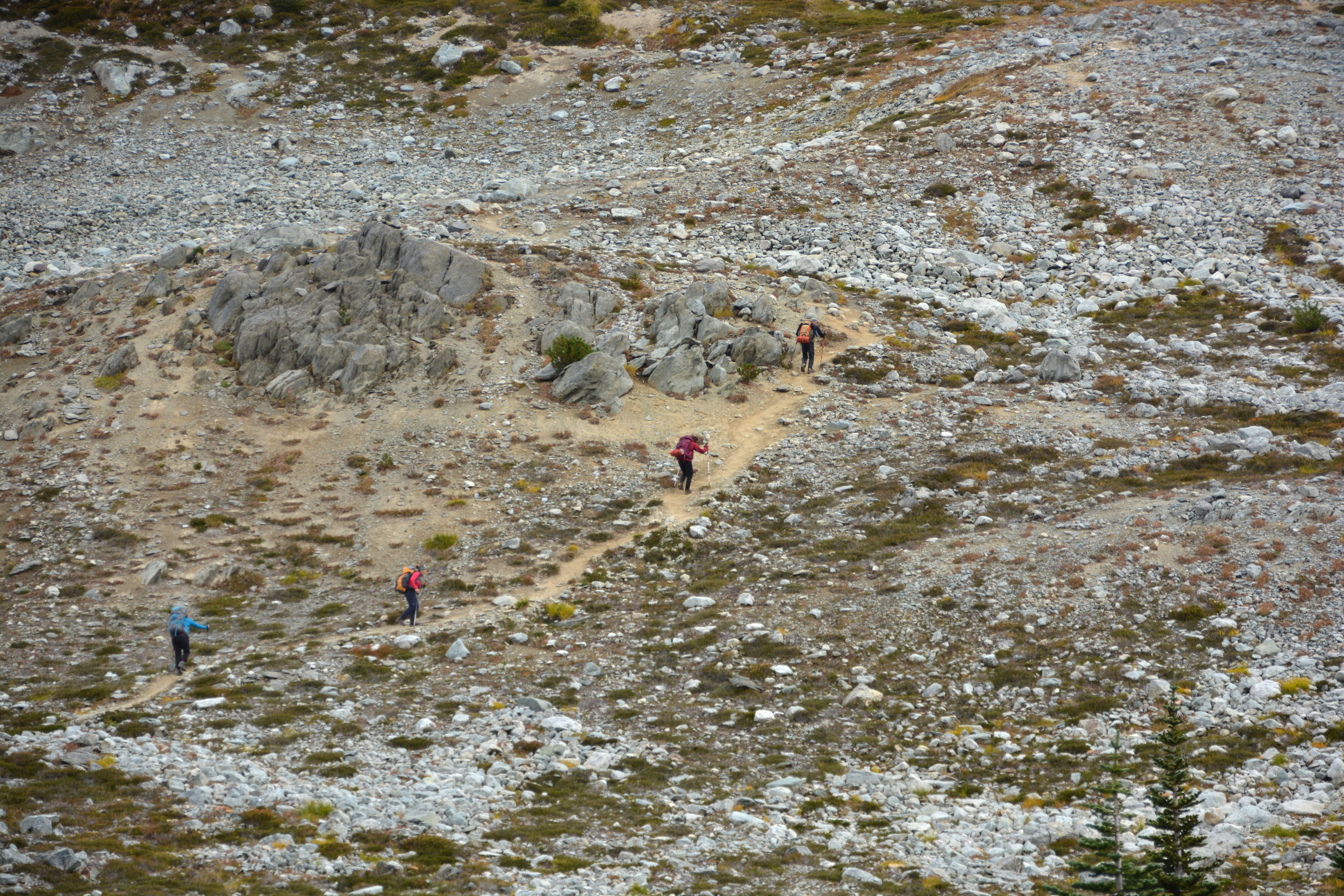
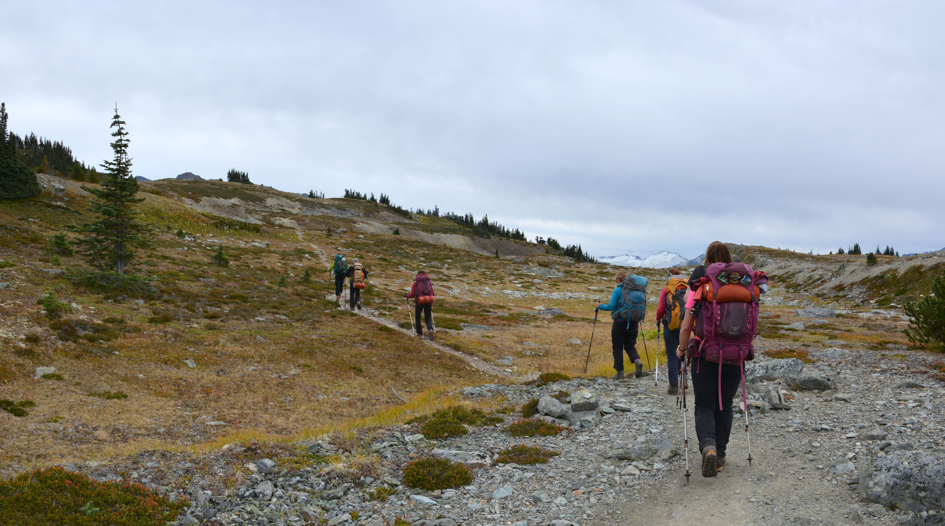
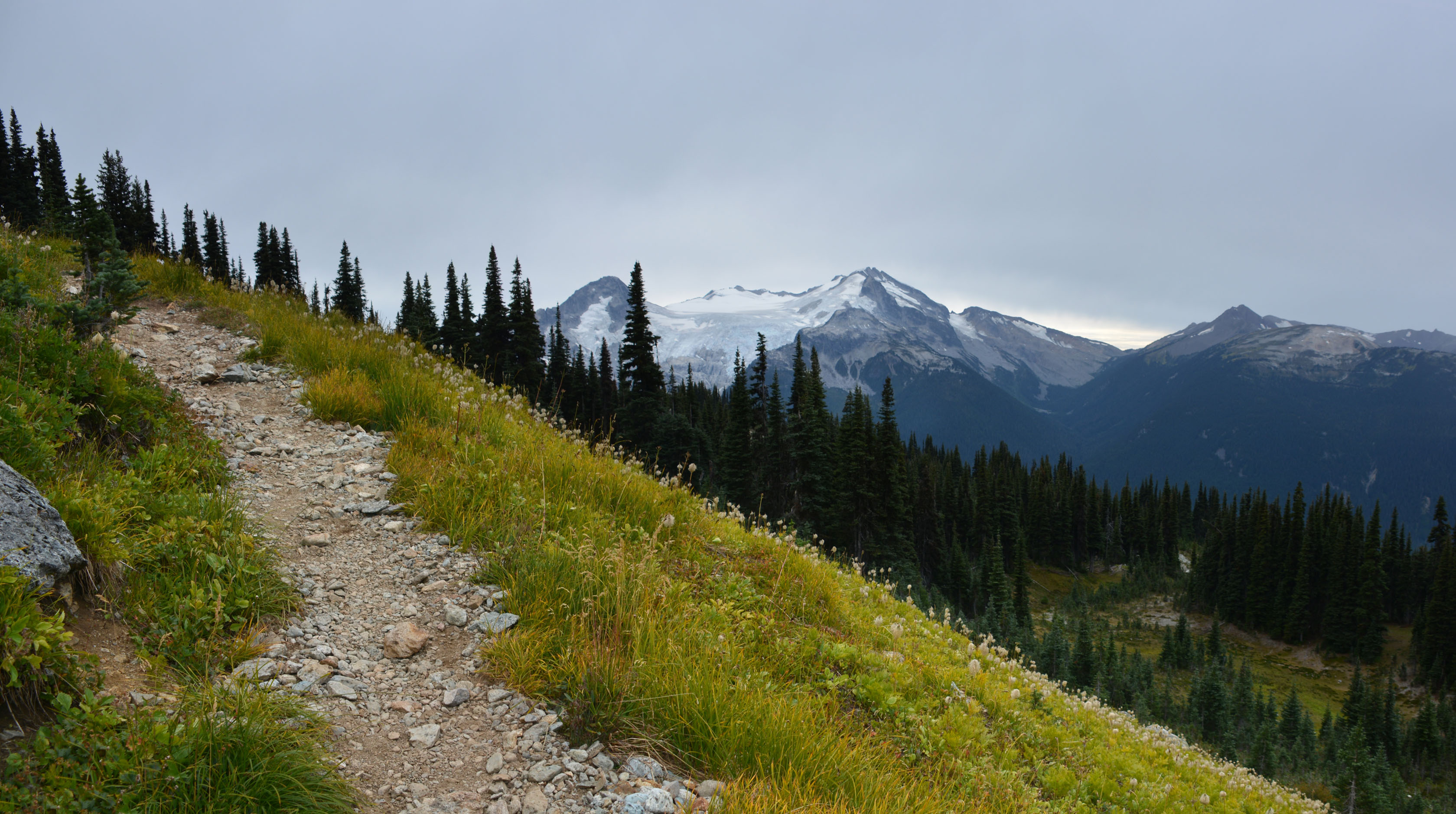
Russet Ridge – Kees and Claire Hut
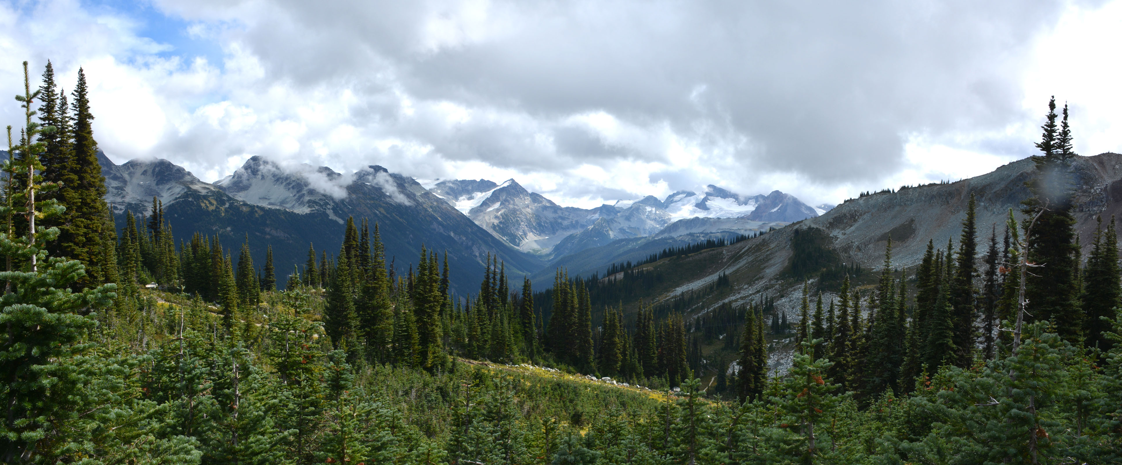
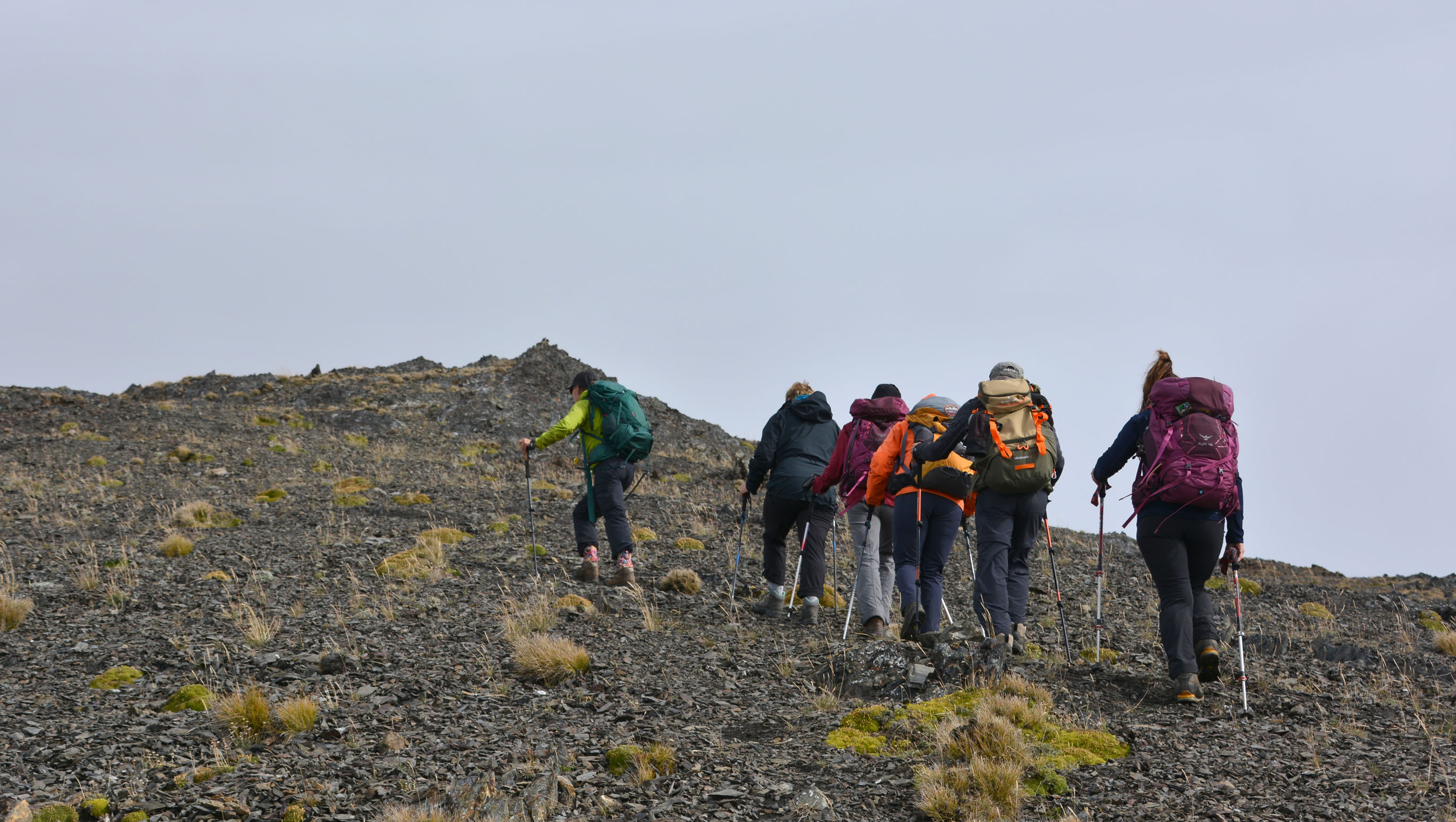
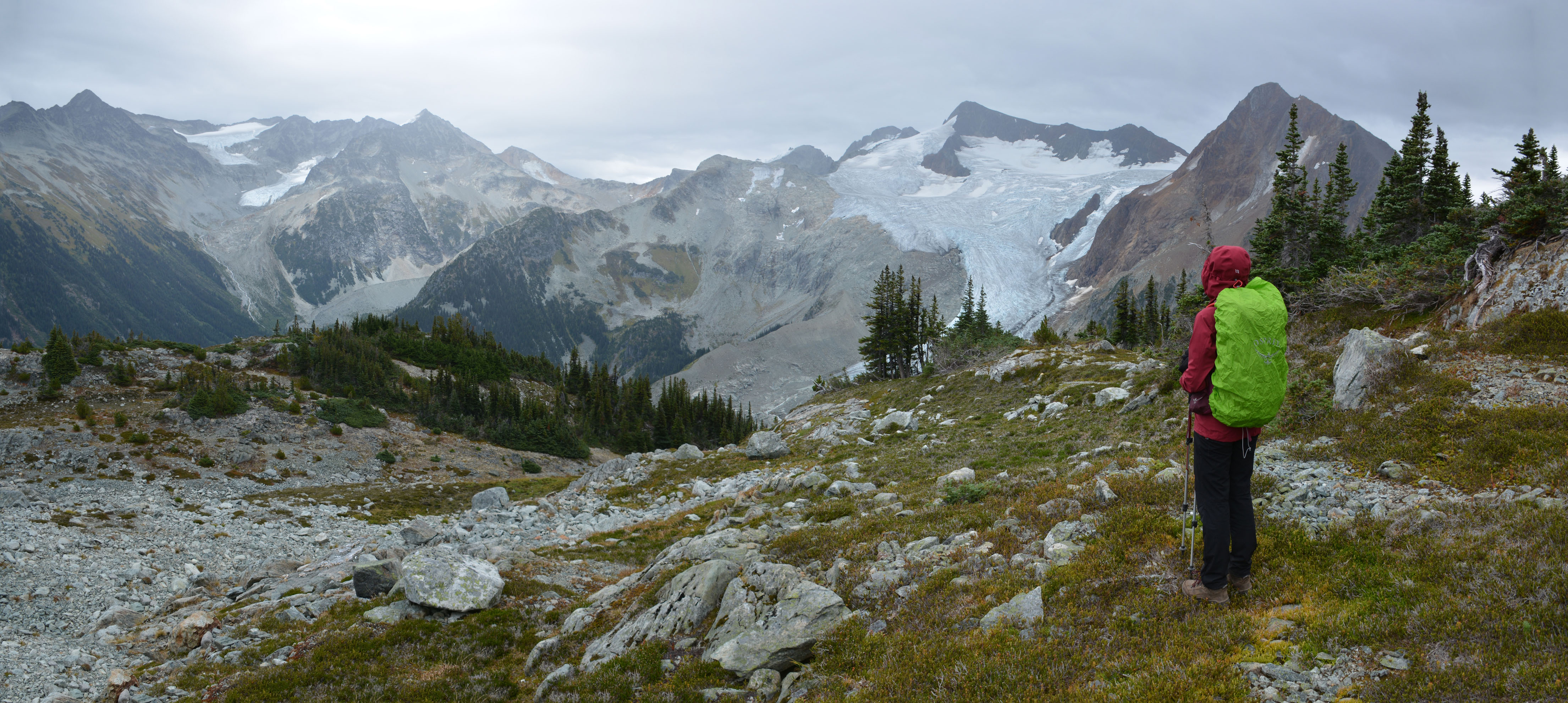
Après une première nuit au refuge Kees and Claire Hut, nous allons explorer le ‘Russet Ridge’ situé tout près. Petite journée en partie passée à se reposer, vu qu’il pleut en après-midi.


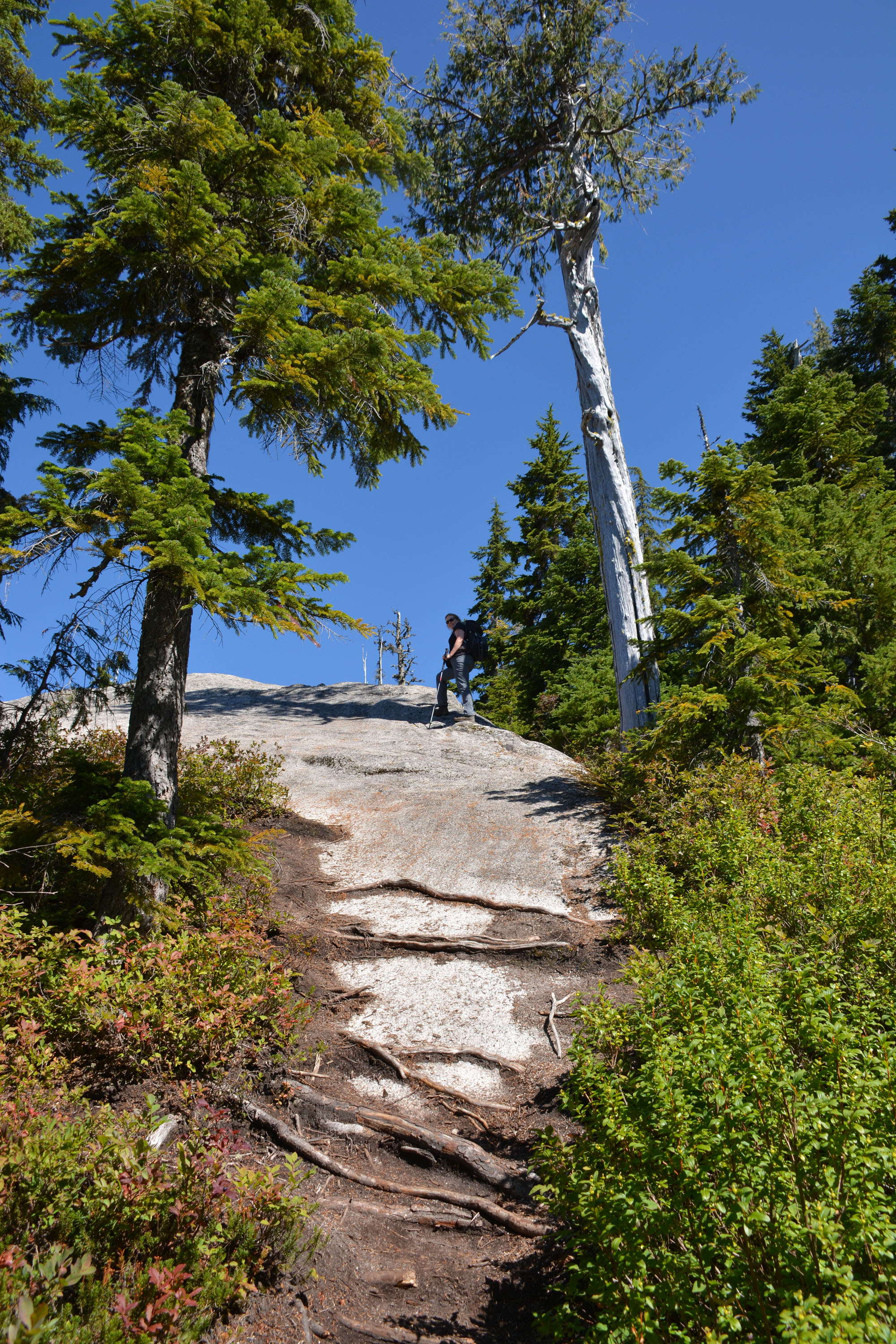
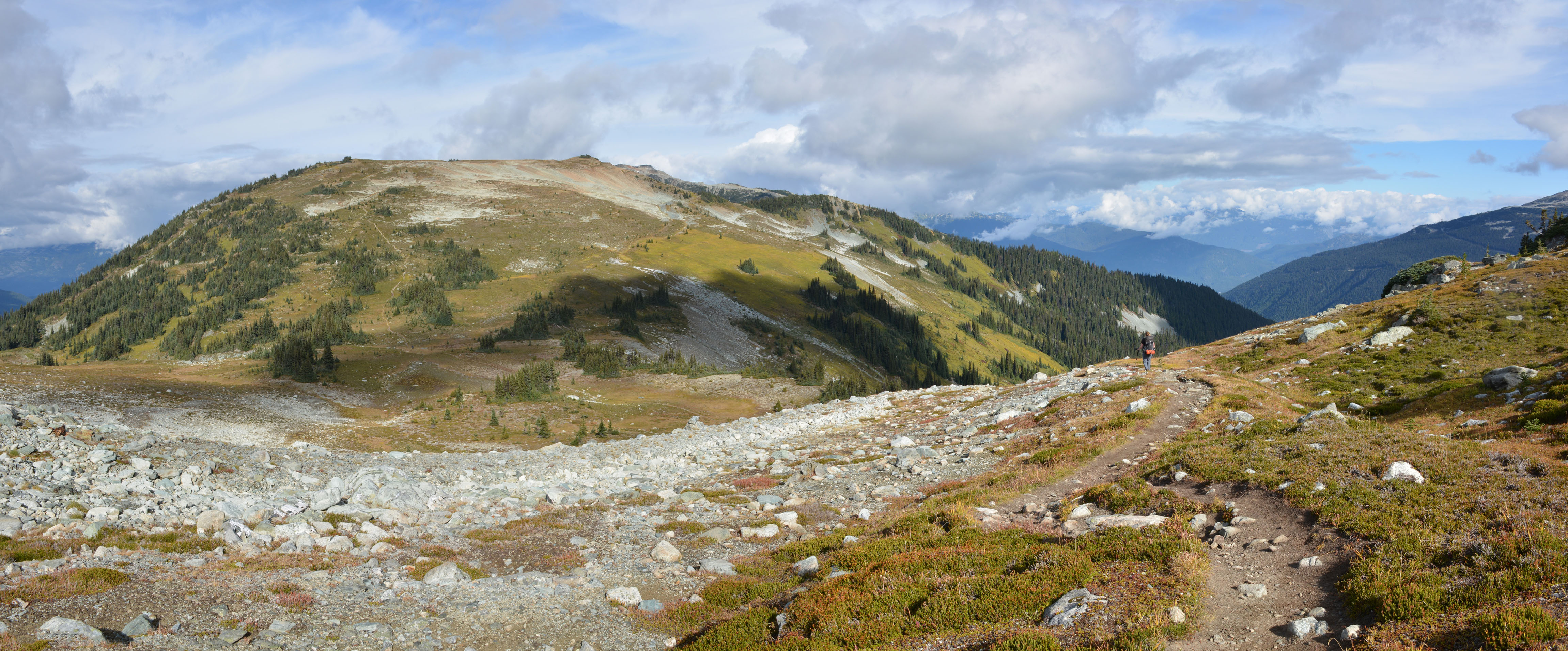
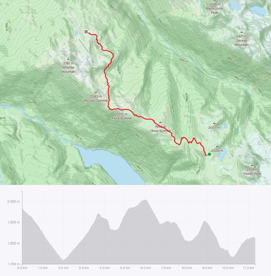
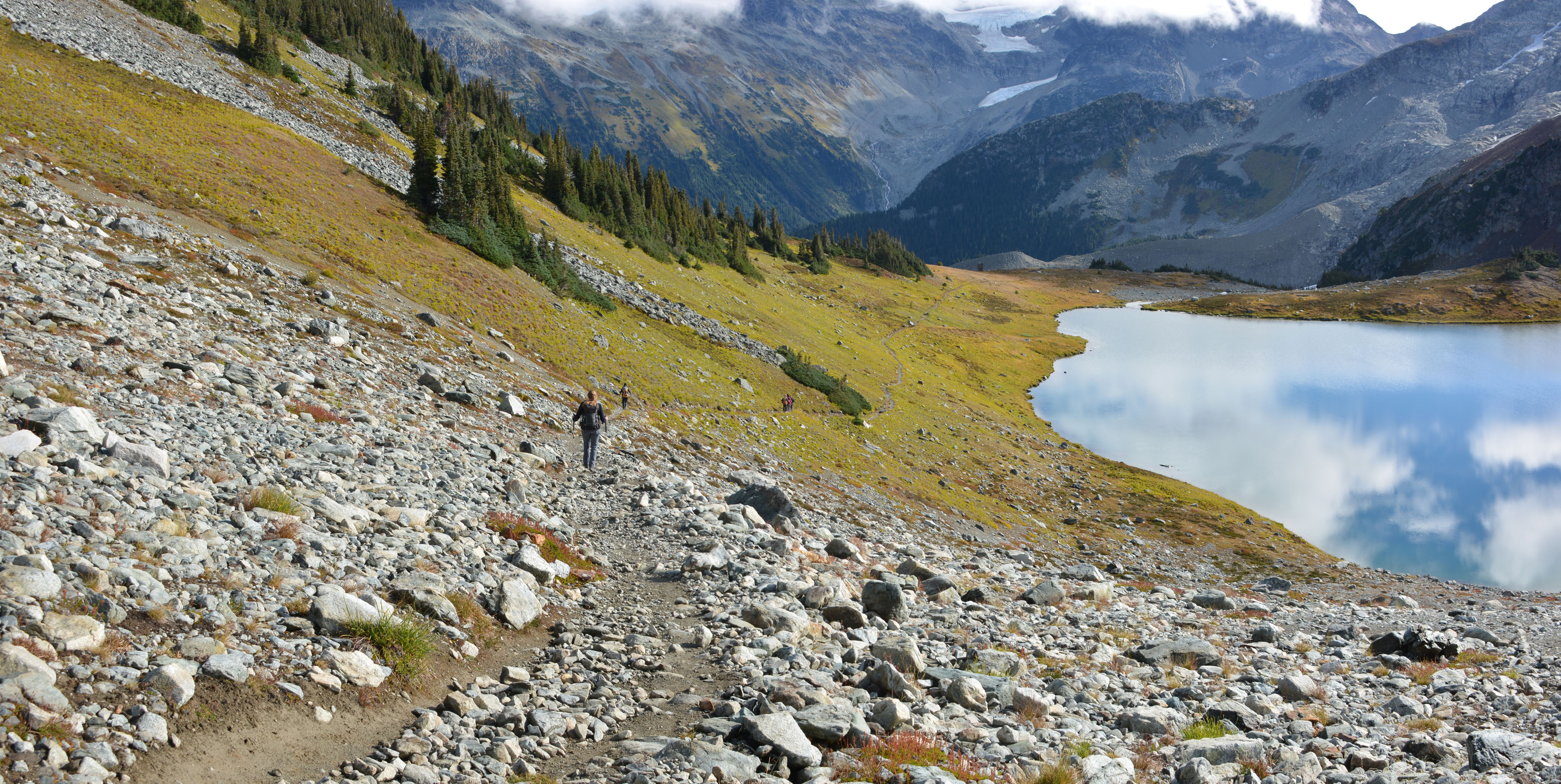
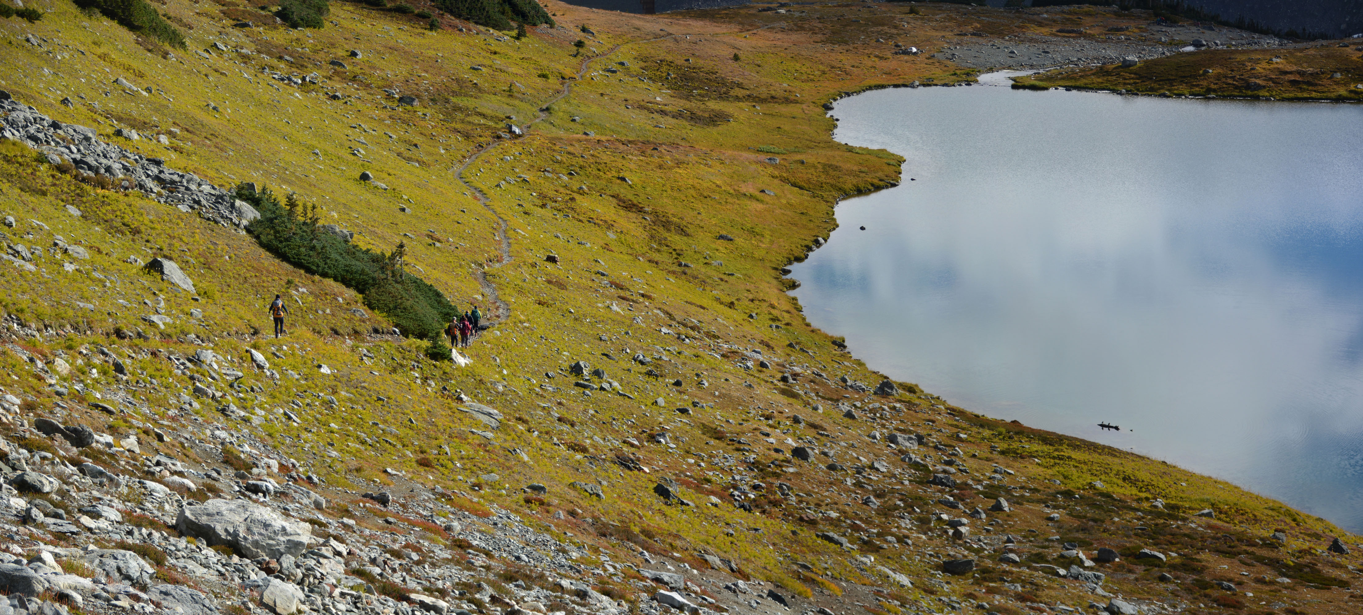
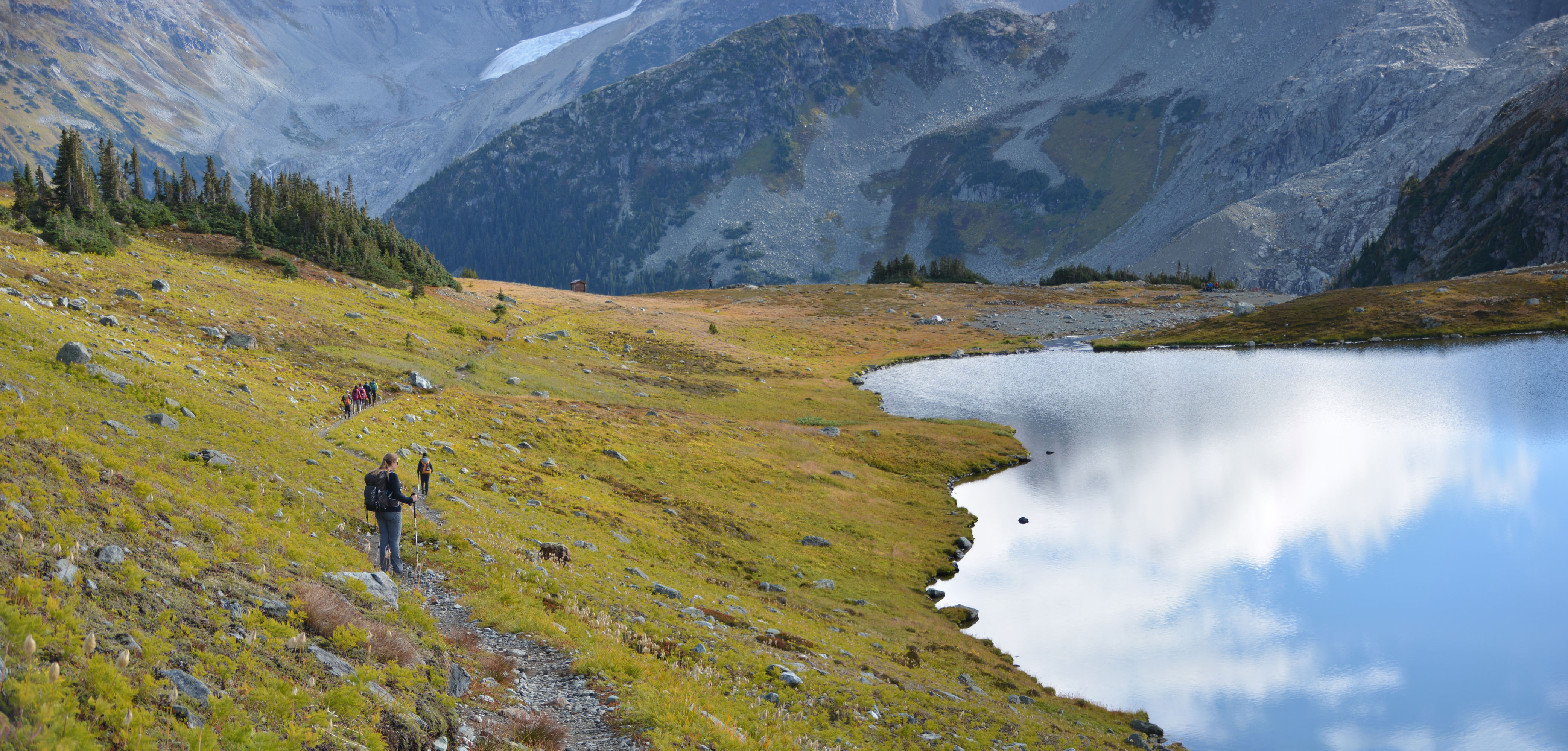
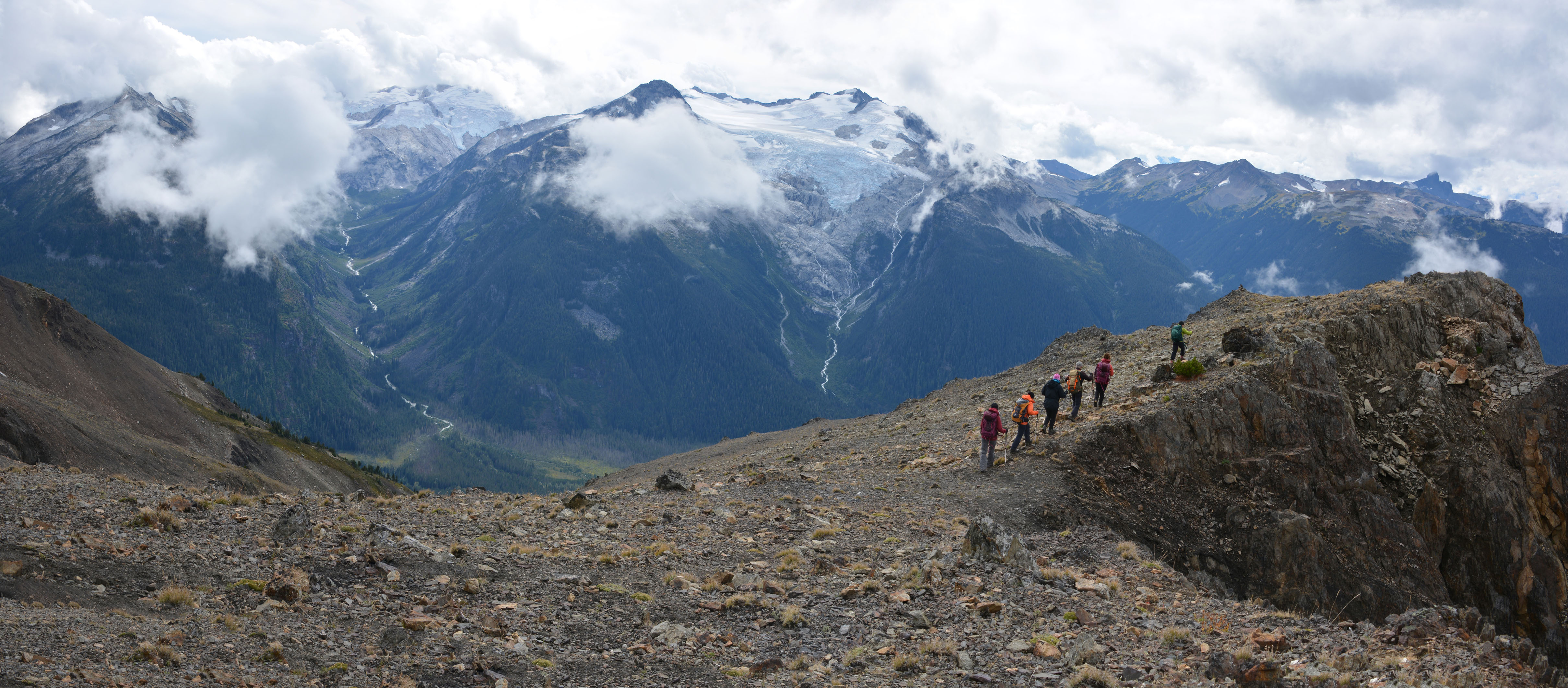
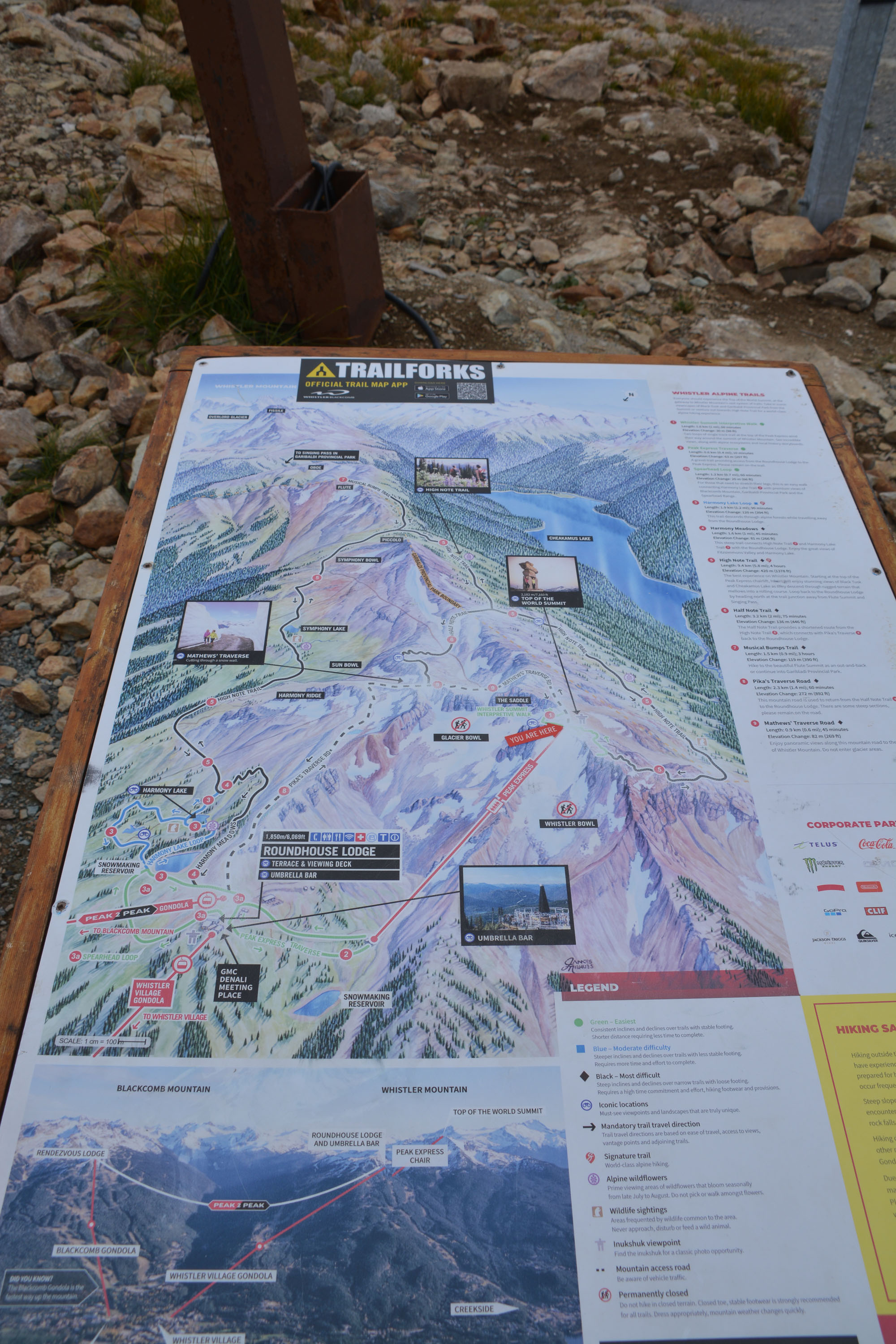
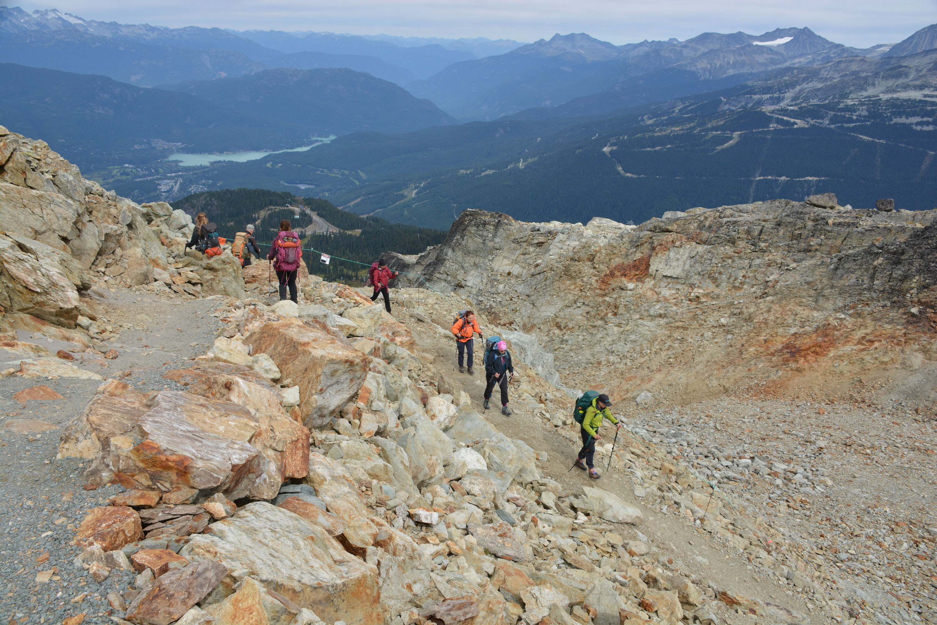
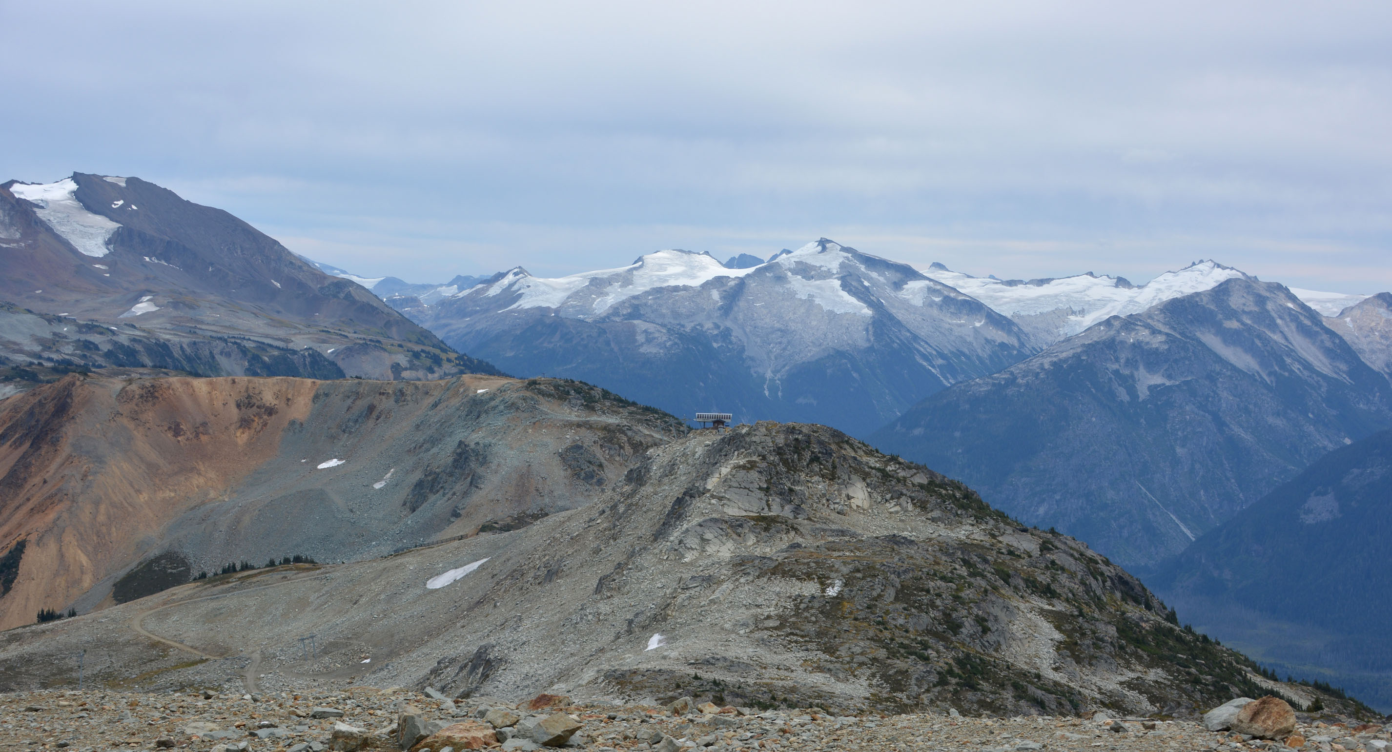
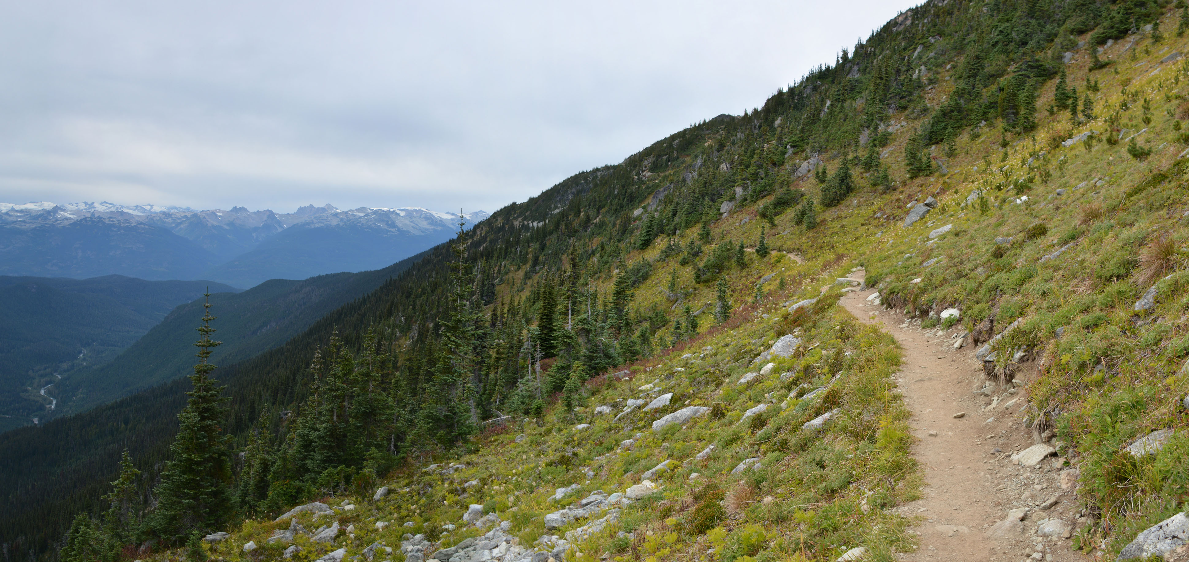
High Note Trail – Whistler
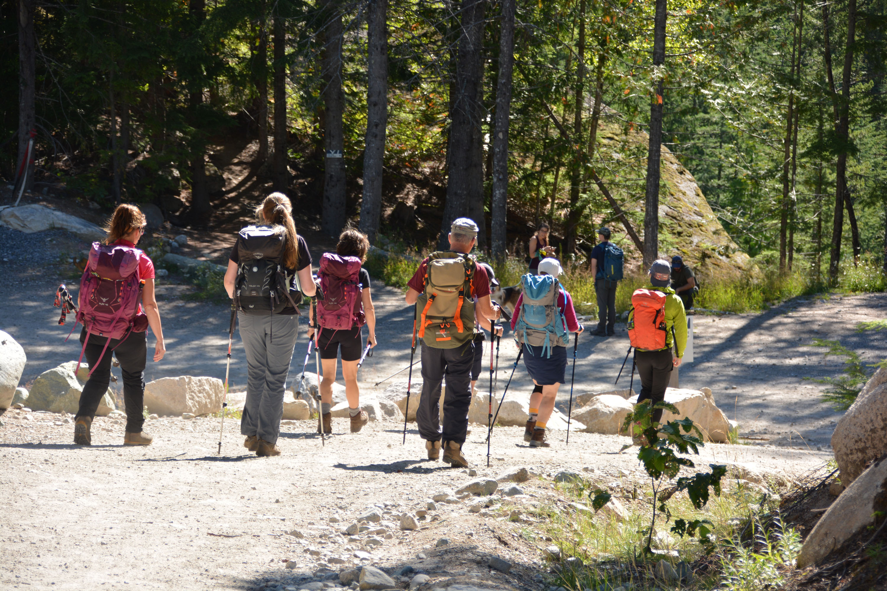
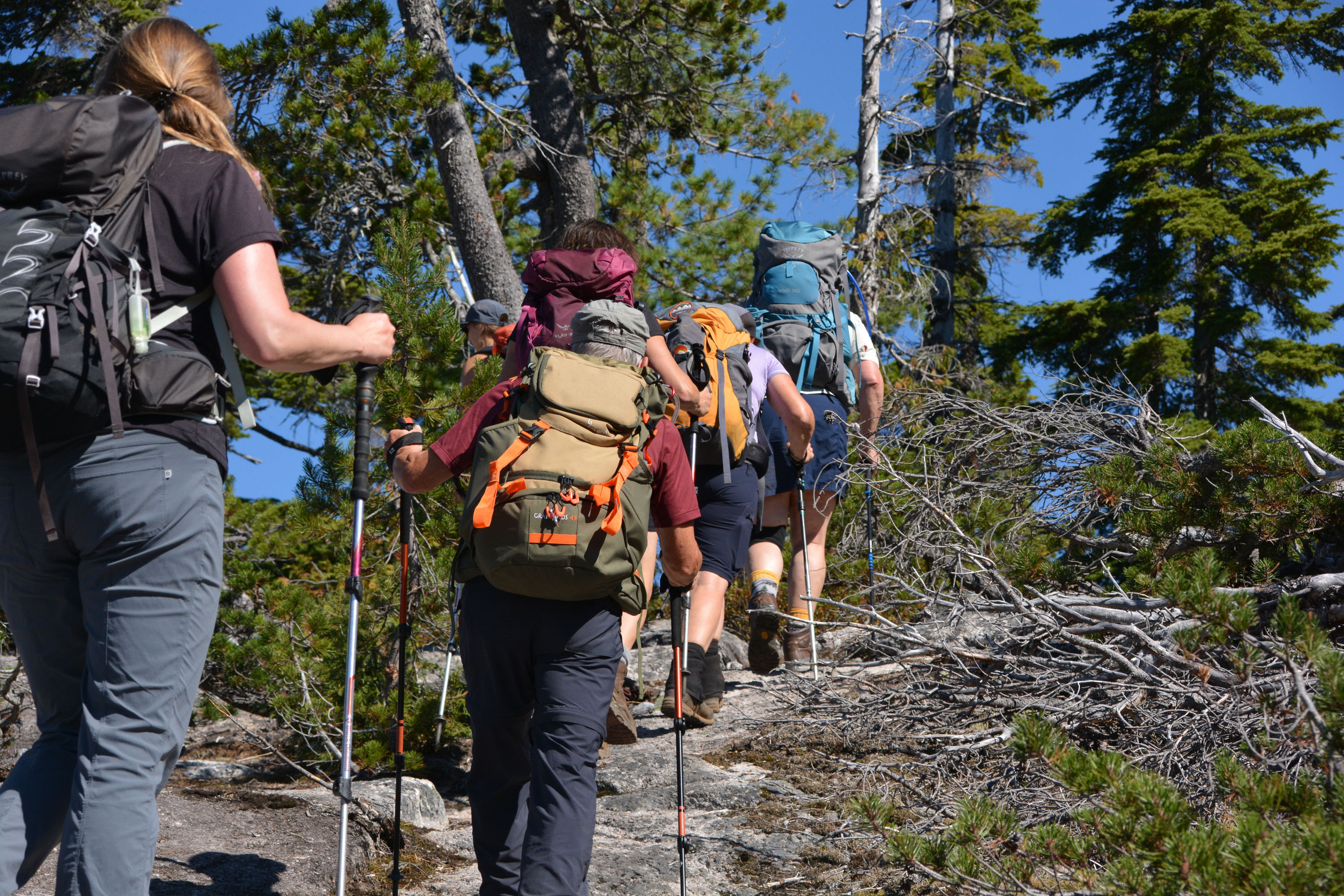
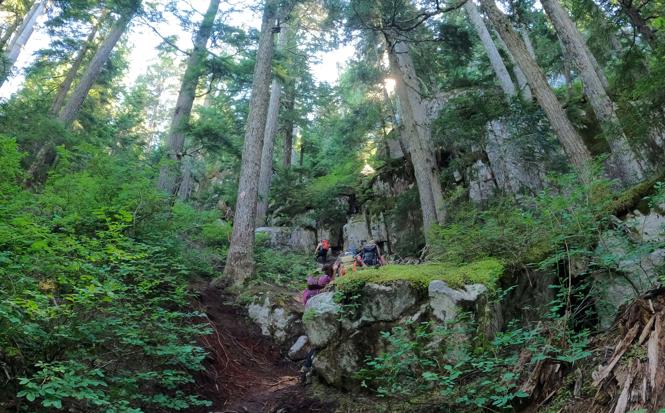
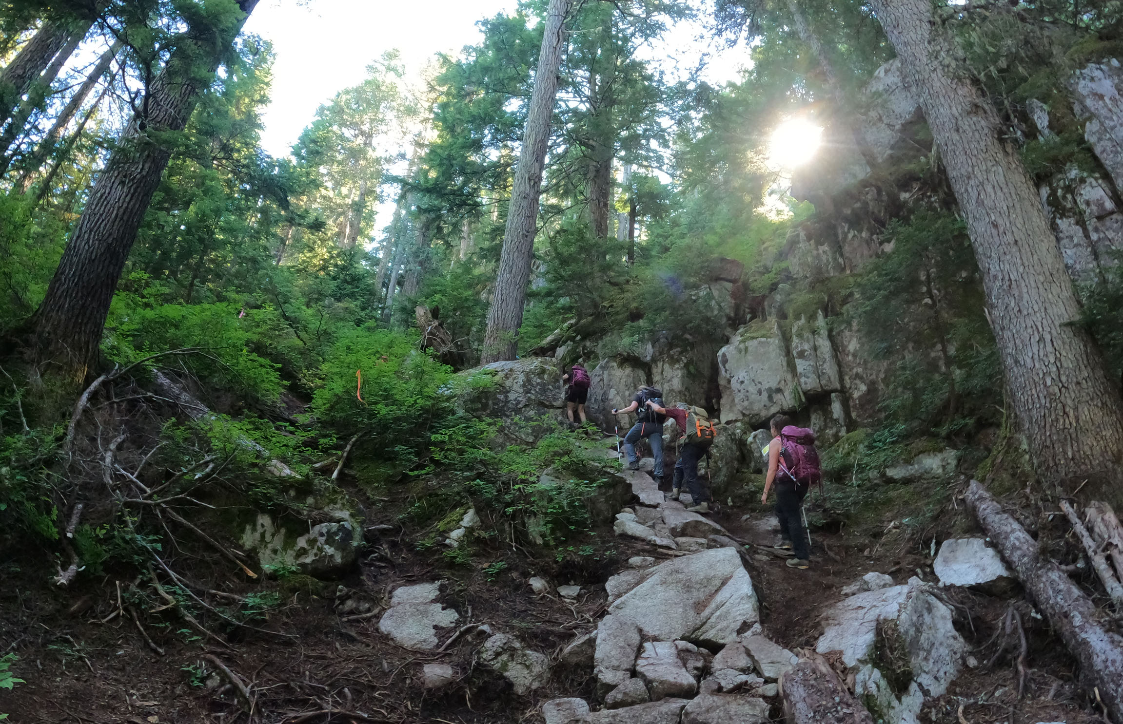
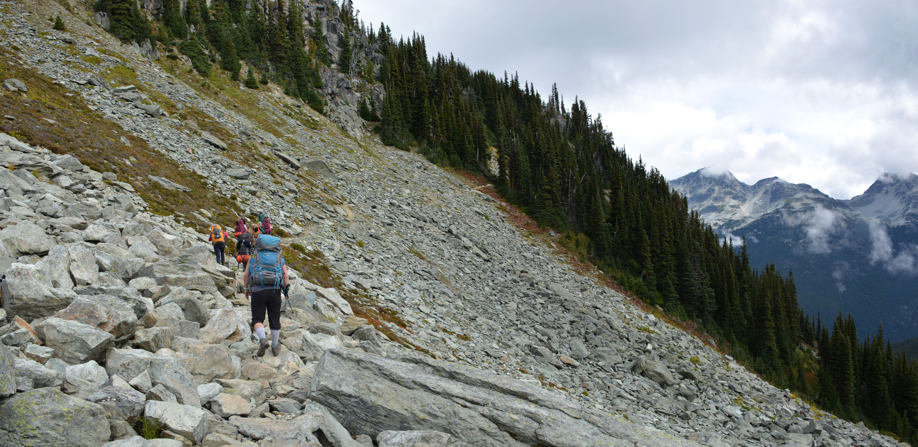
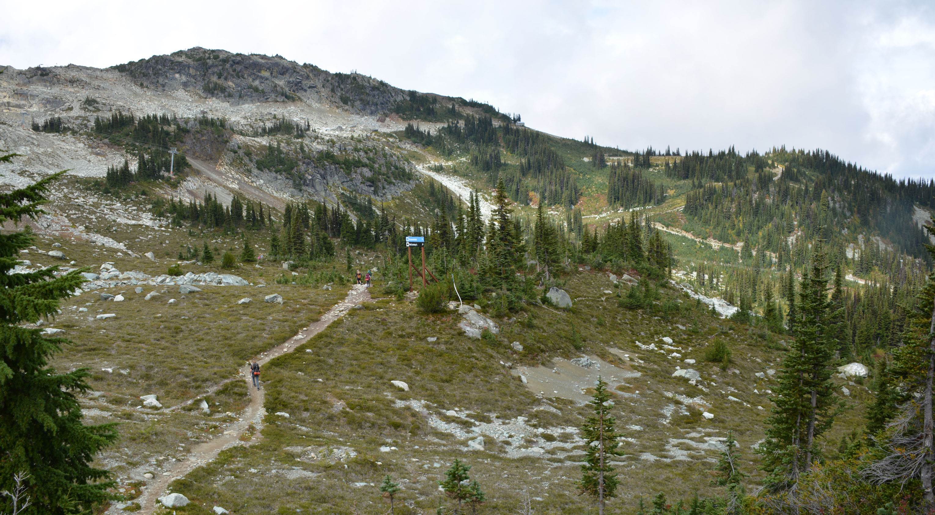
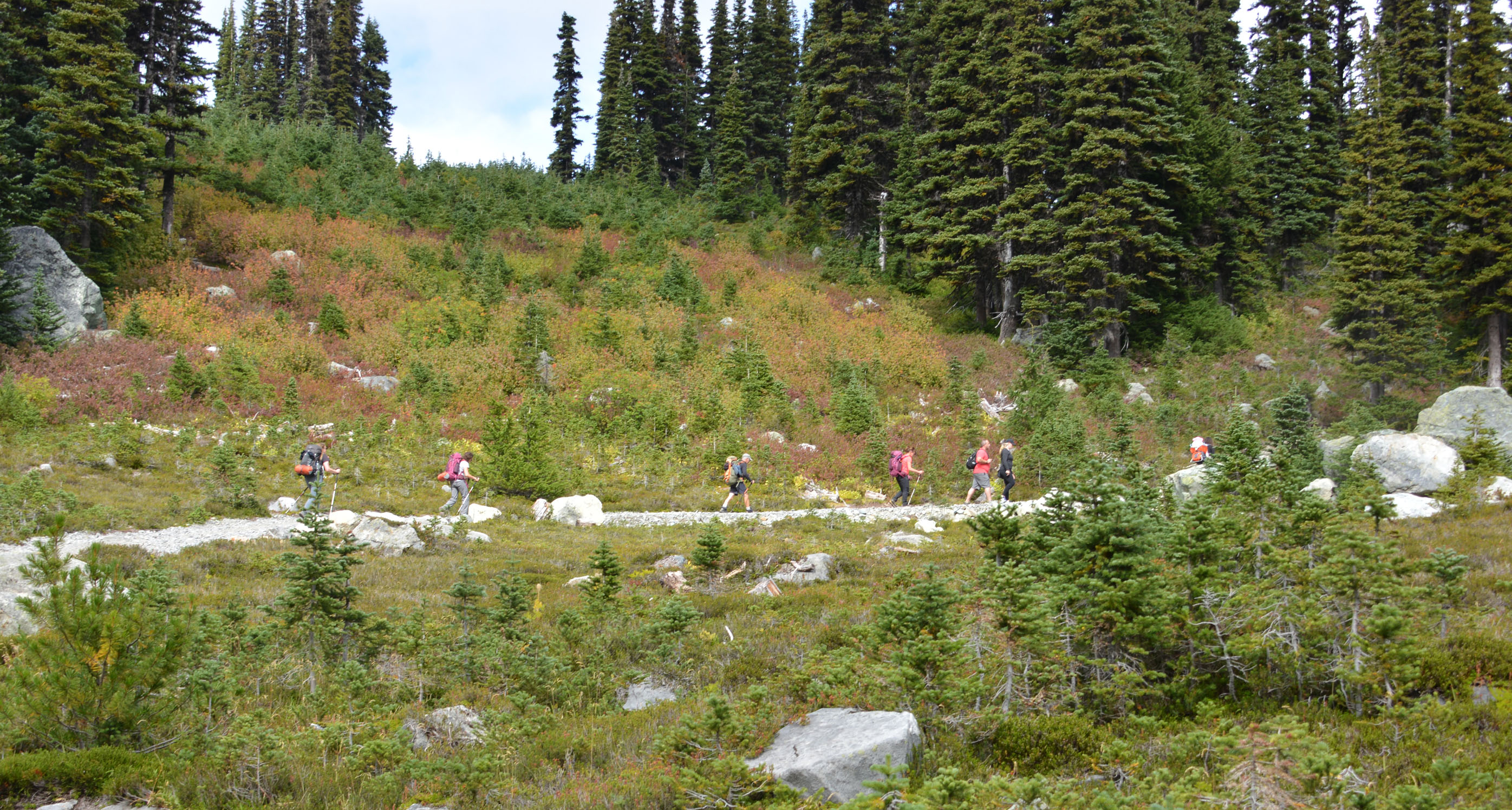
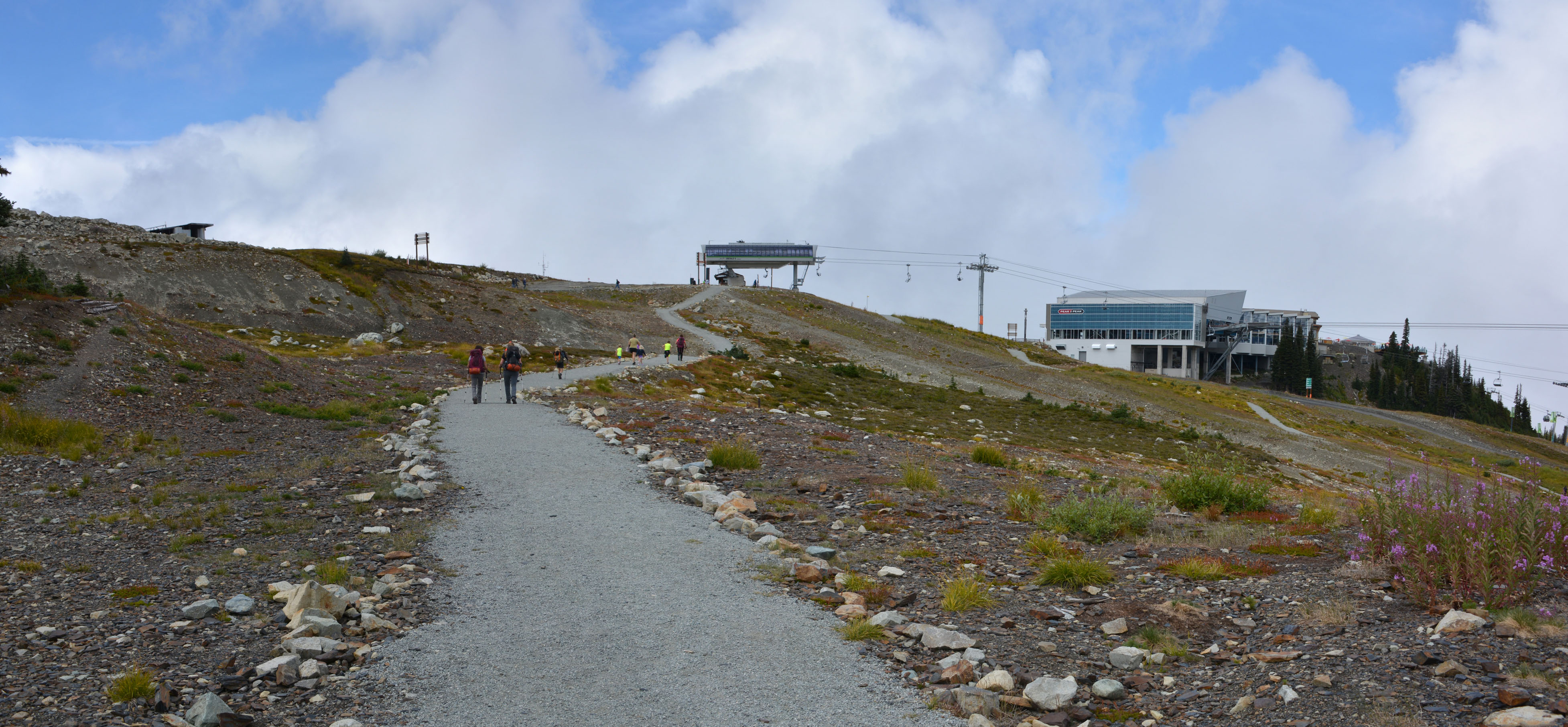
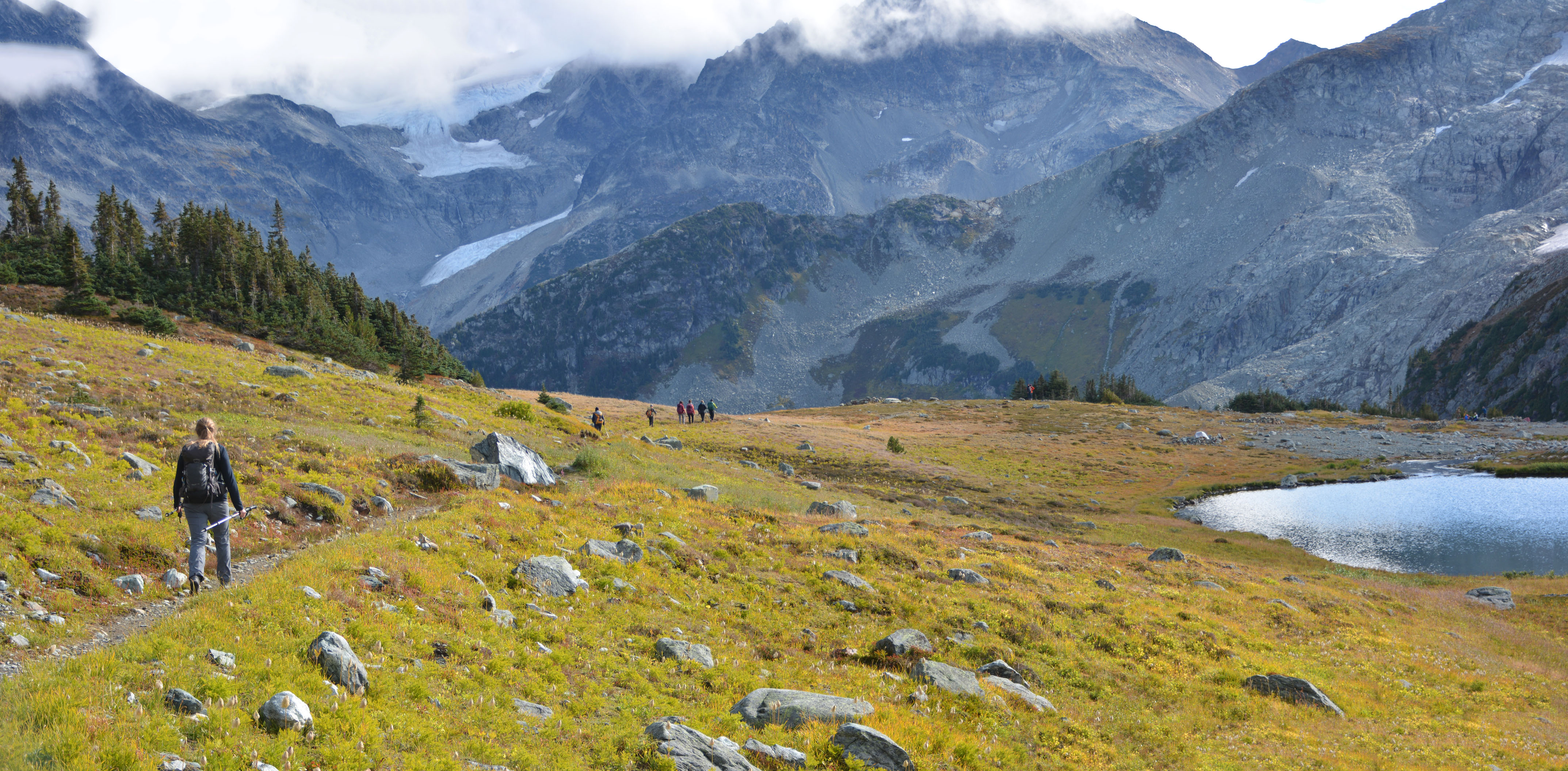
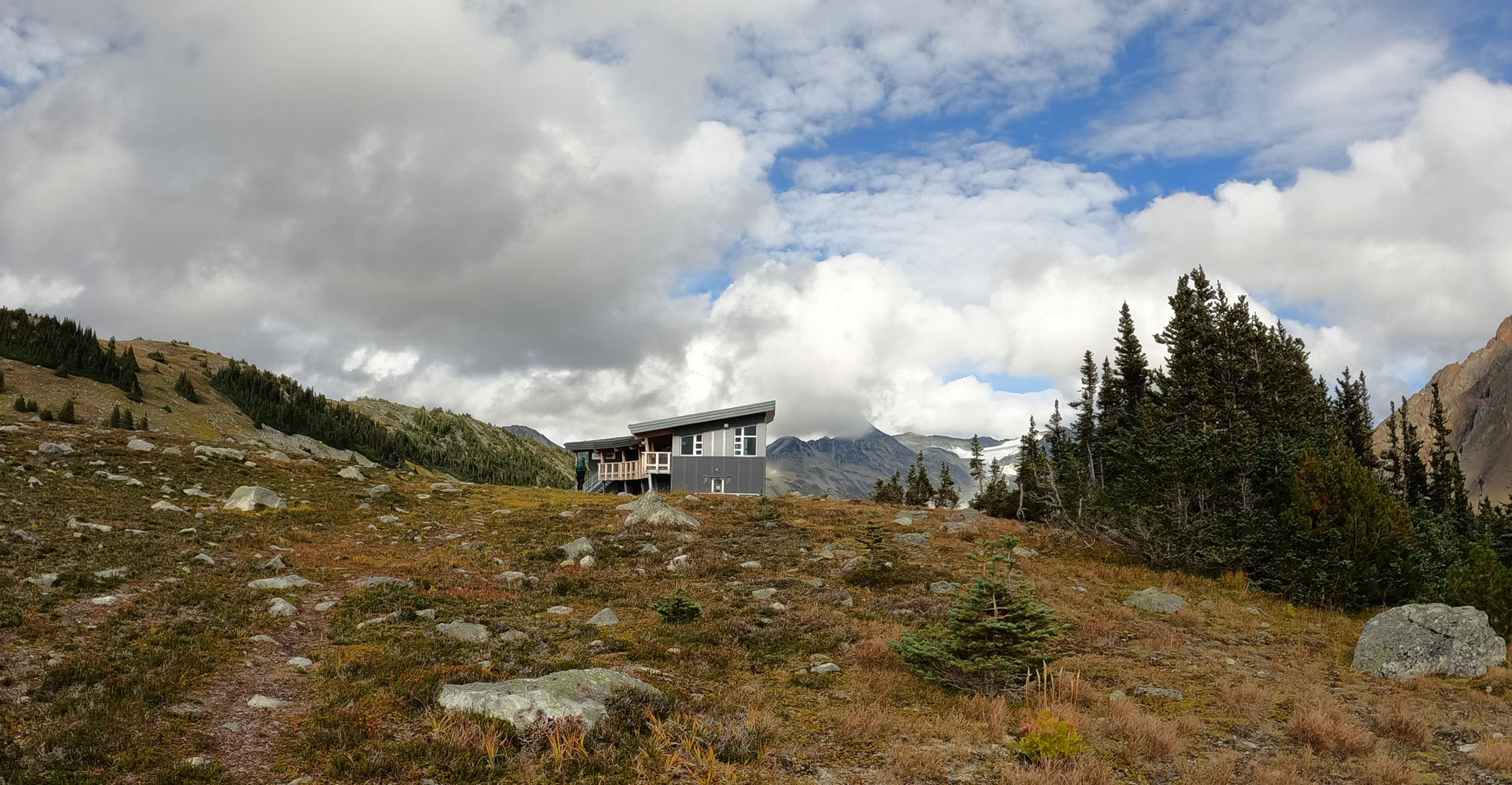
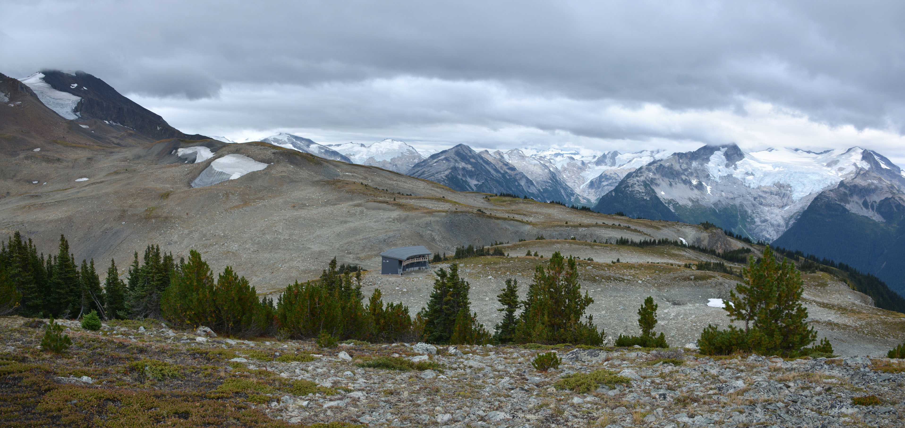
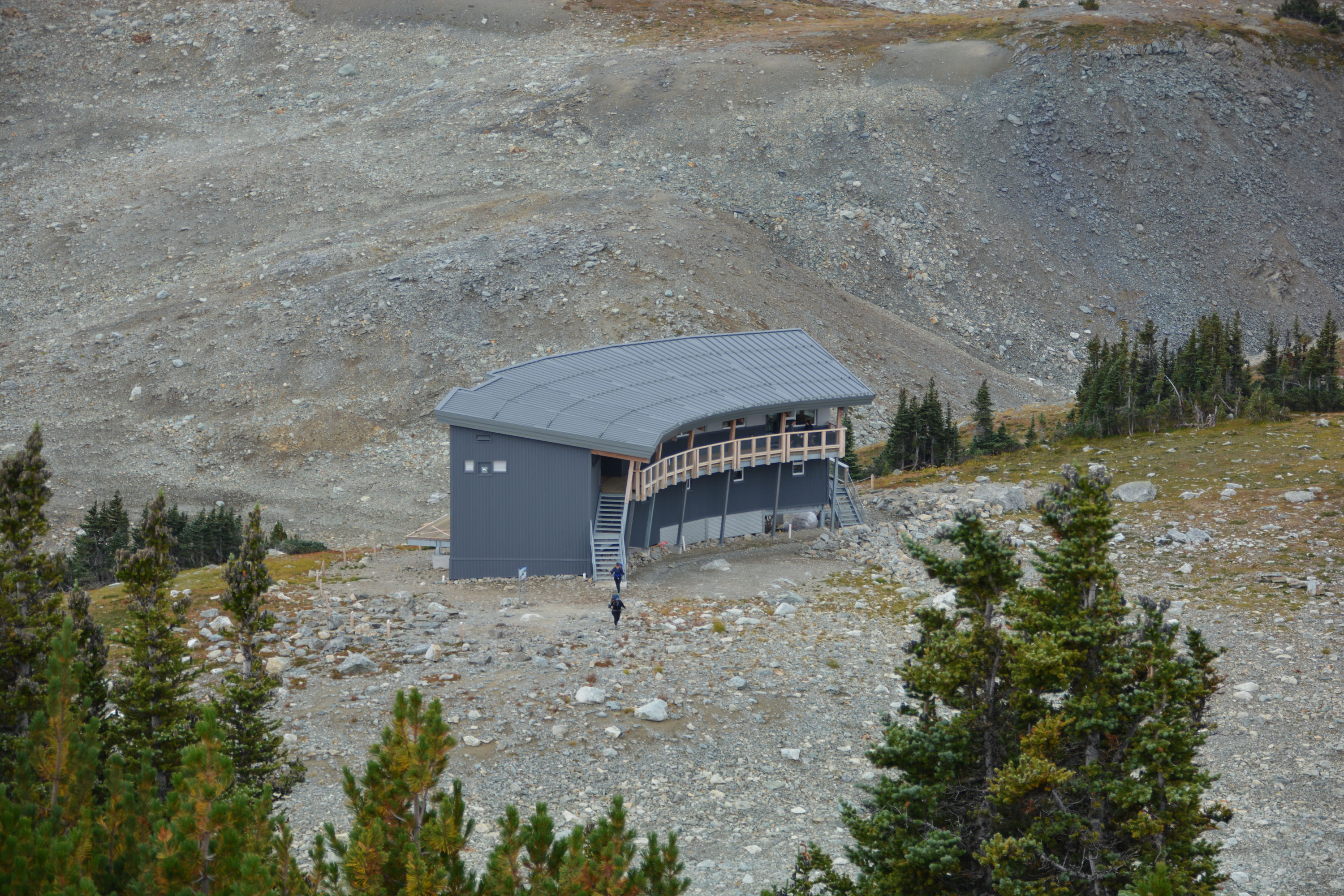
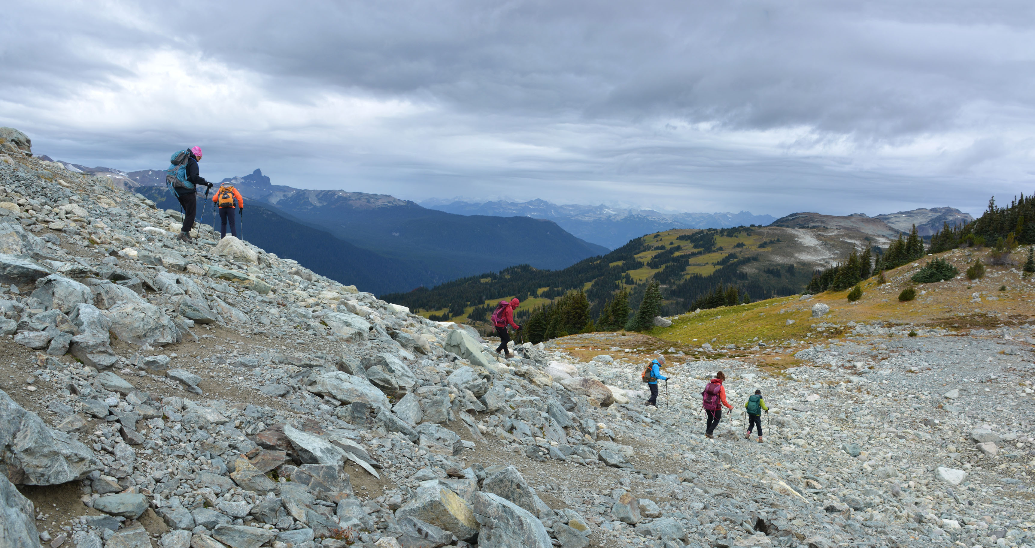
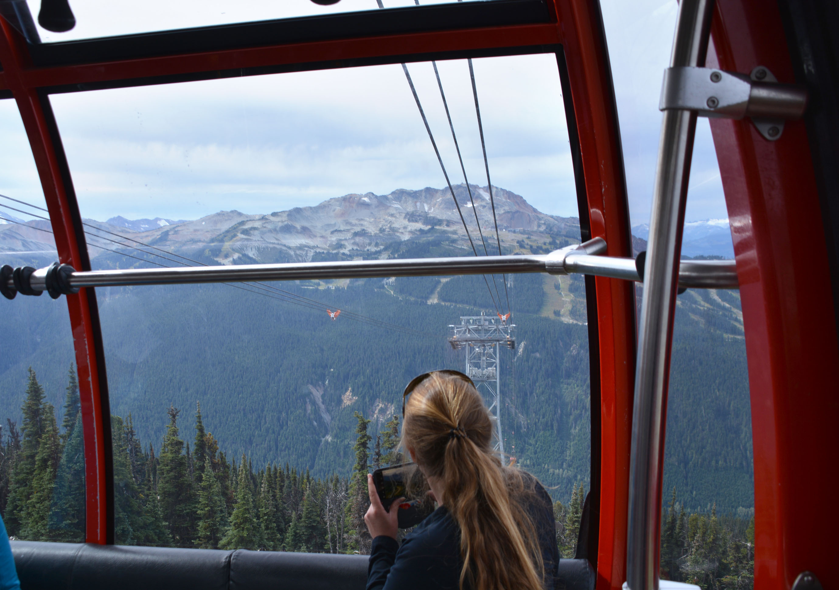
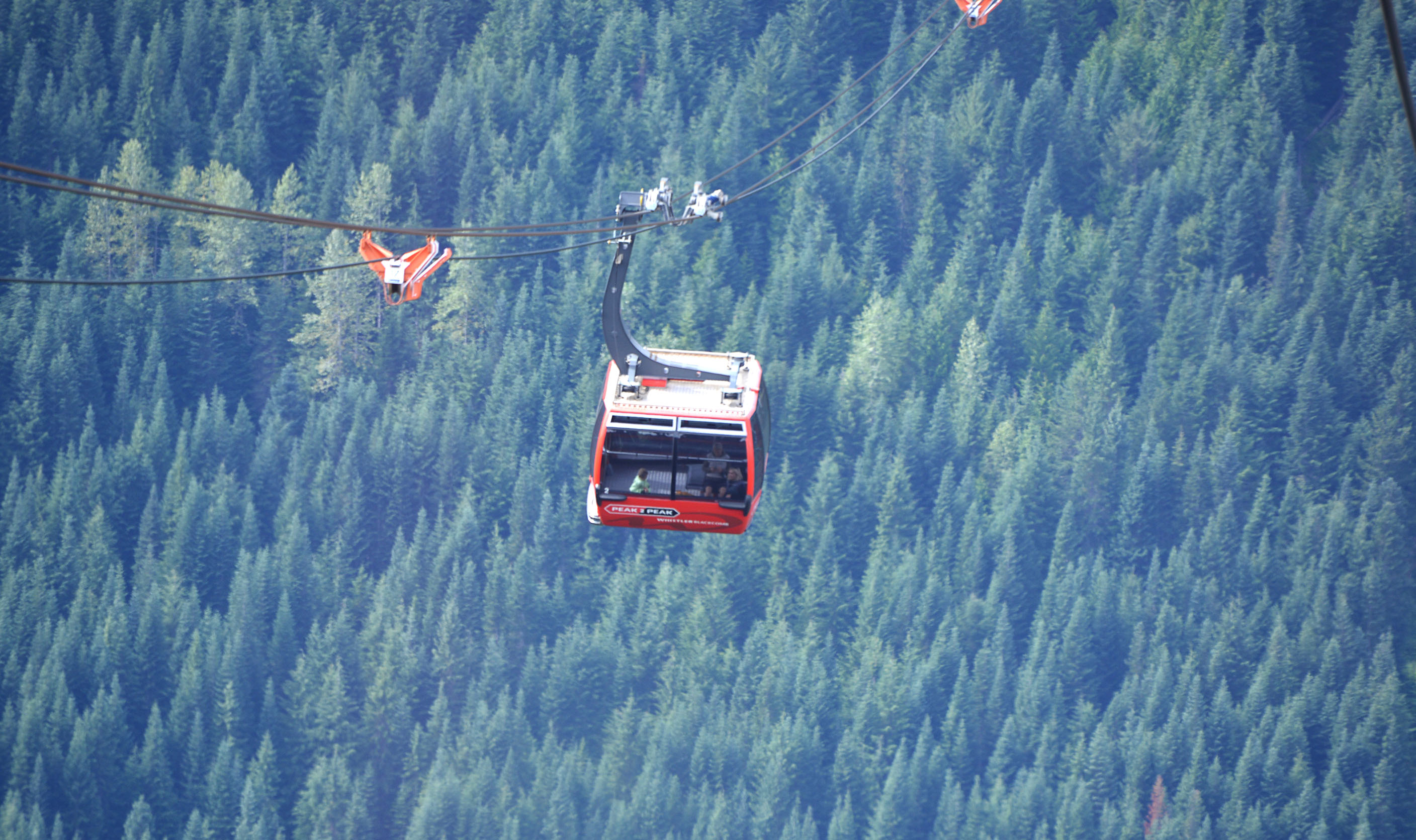
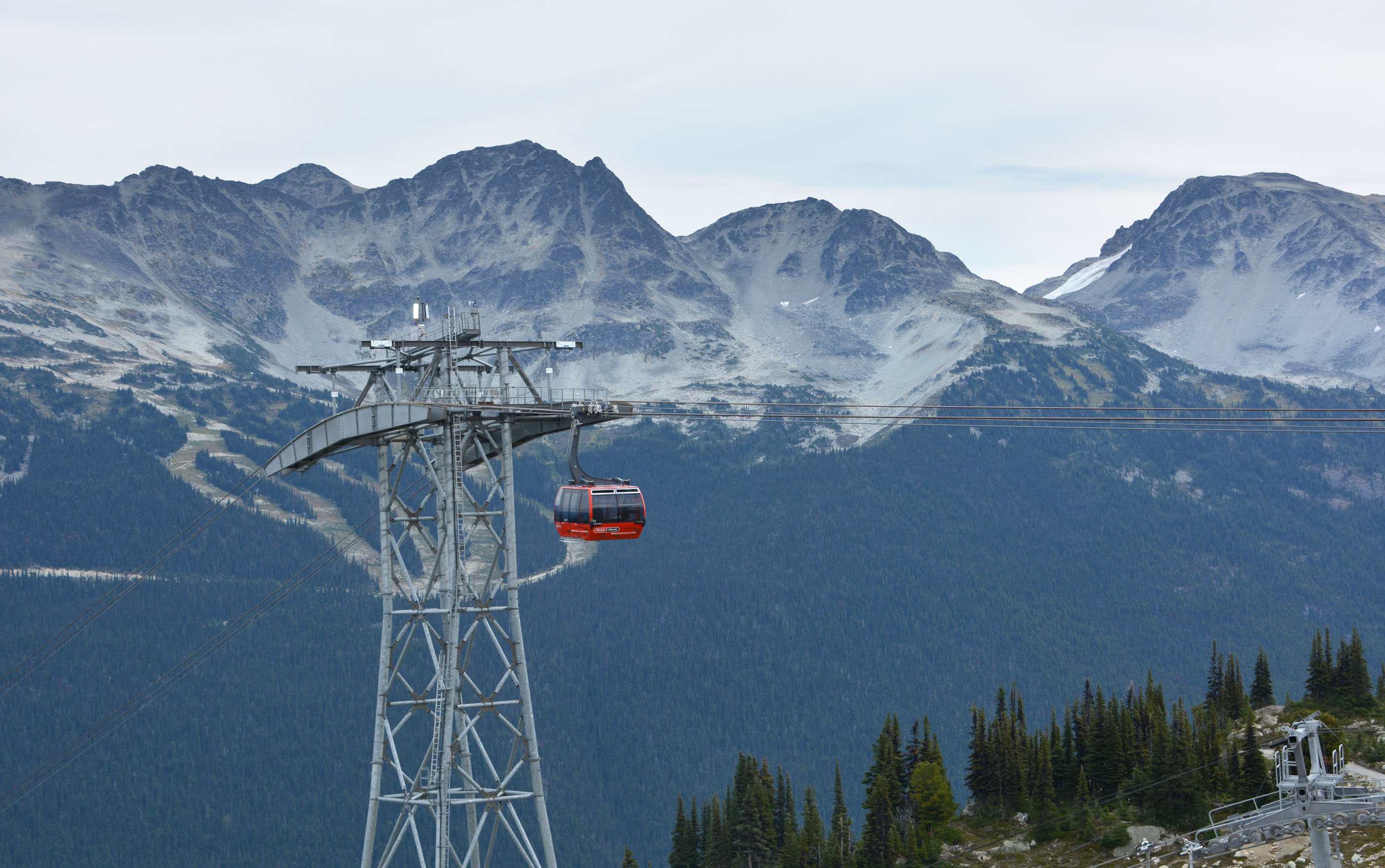
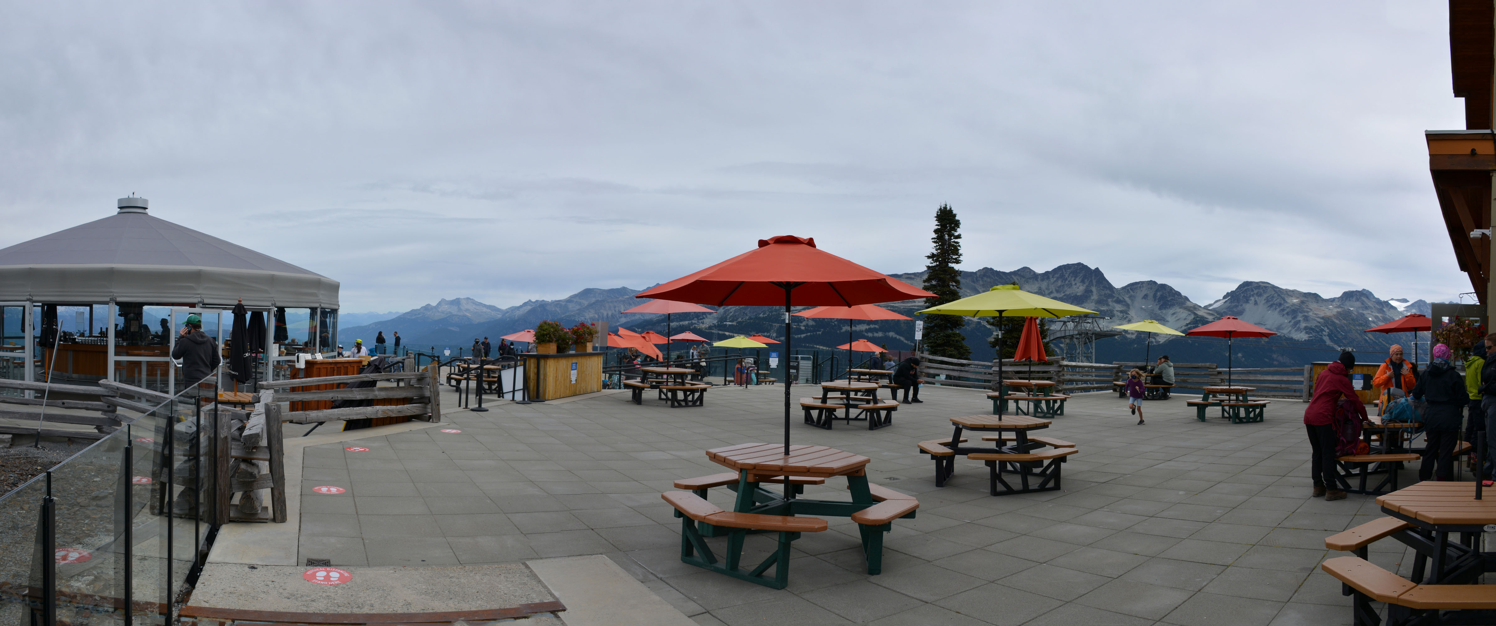
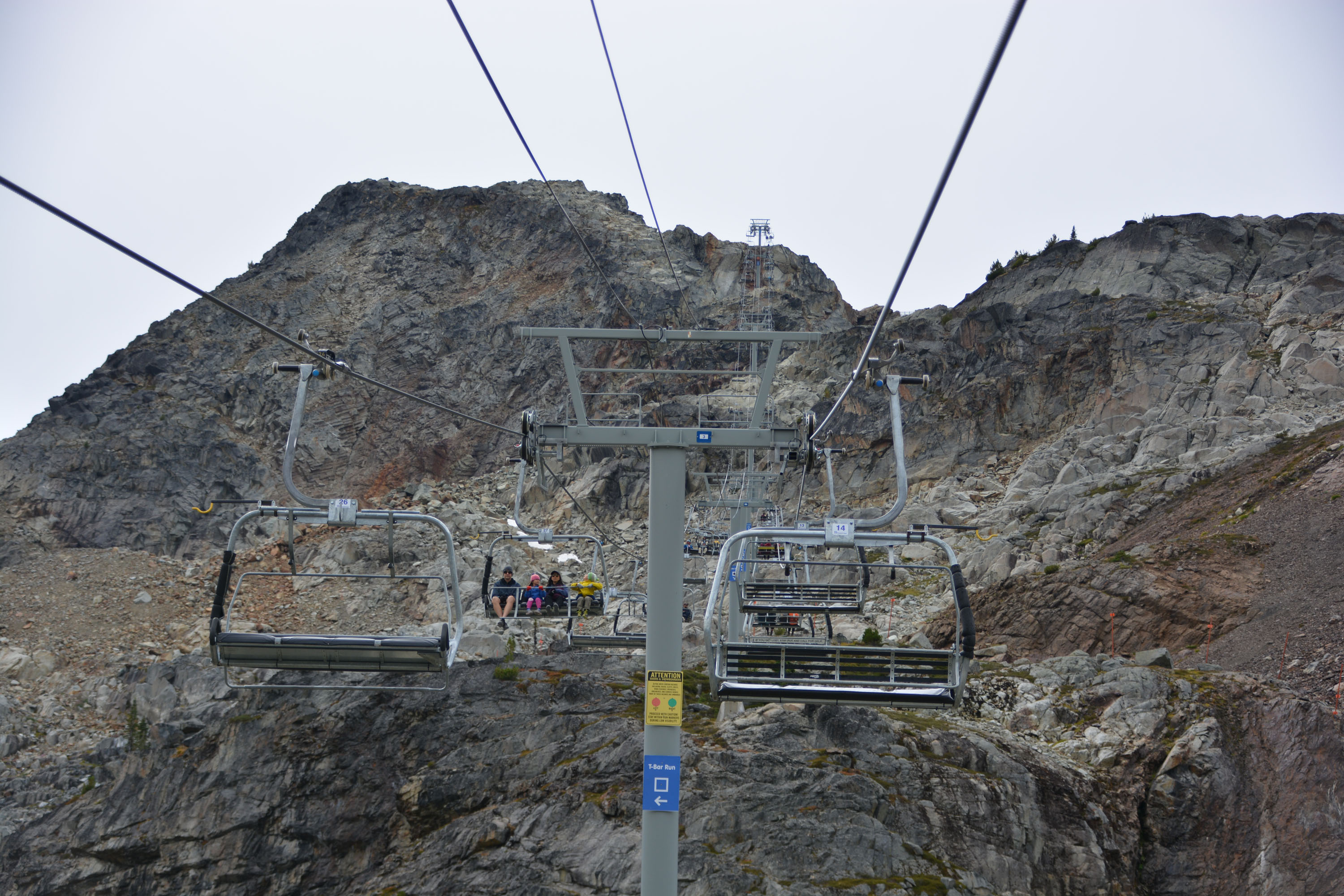
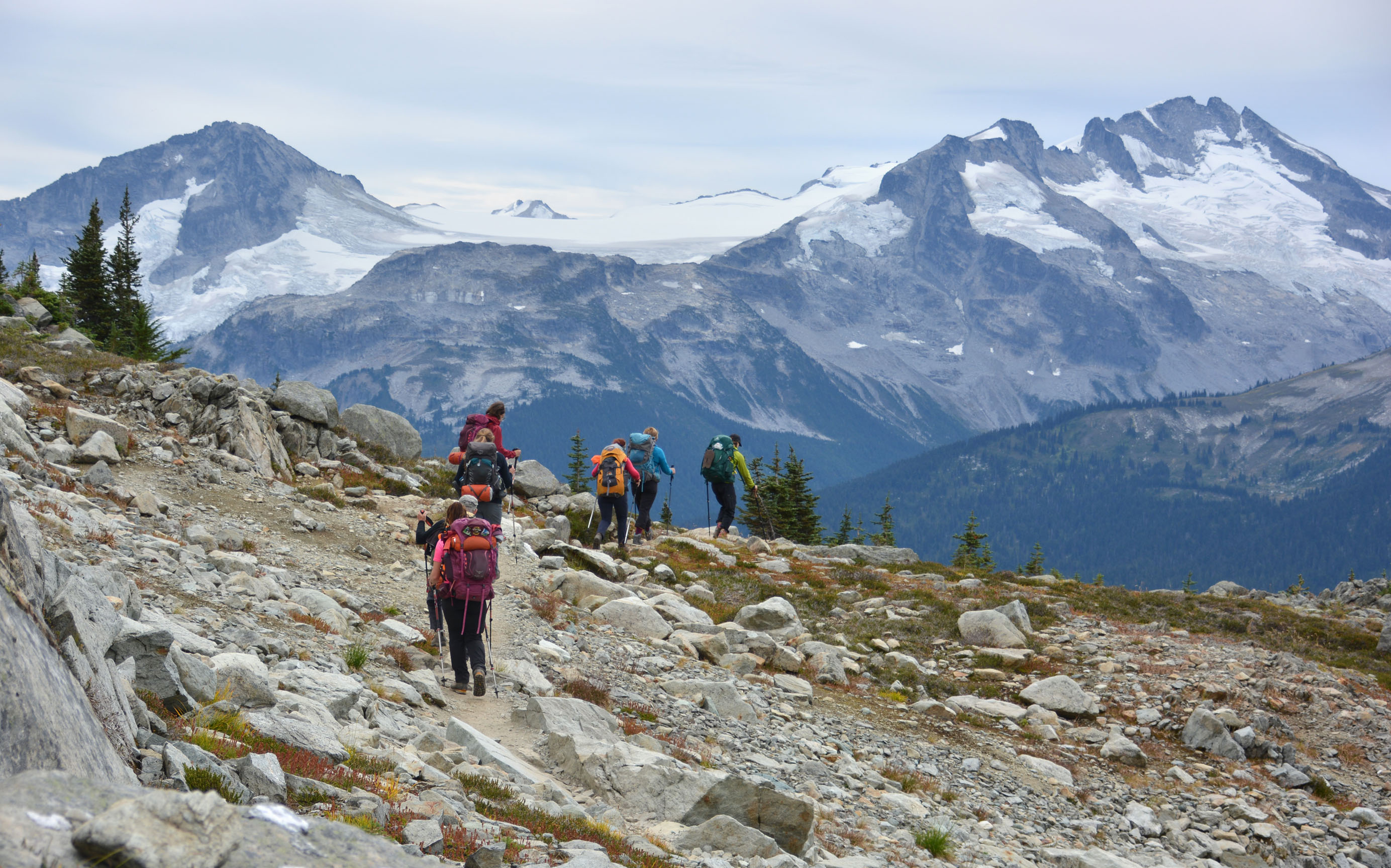
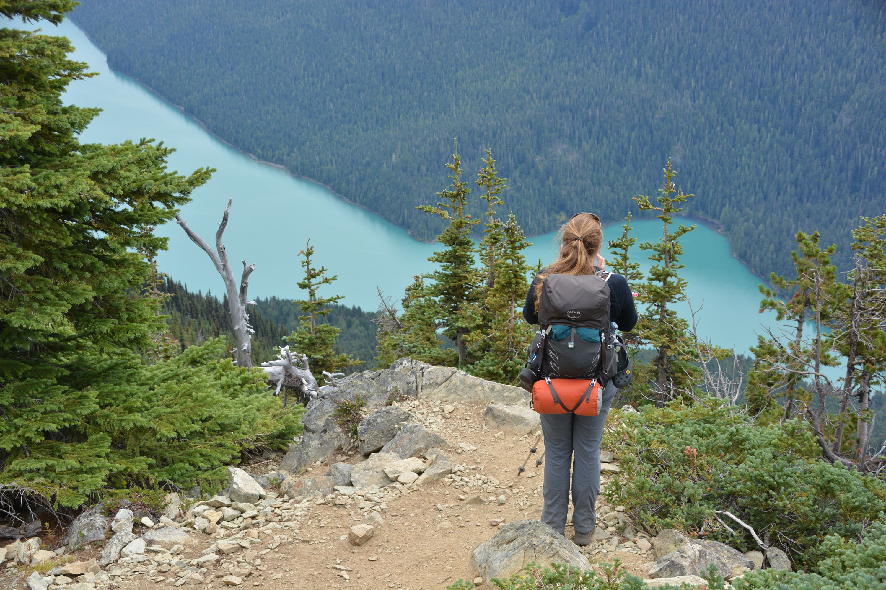
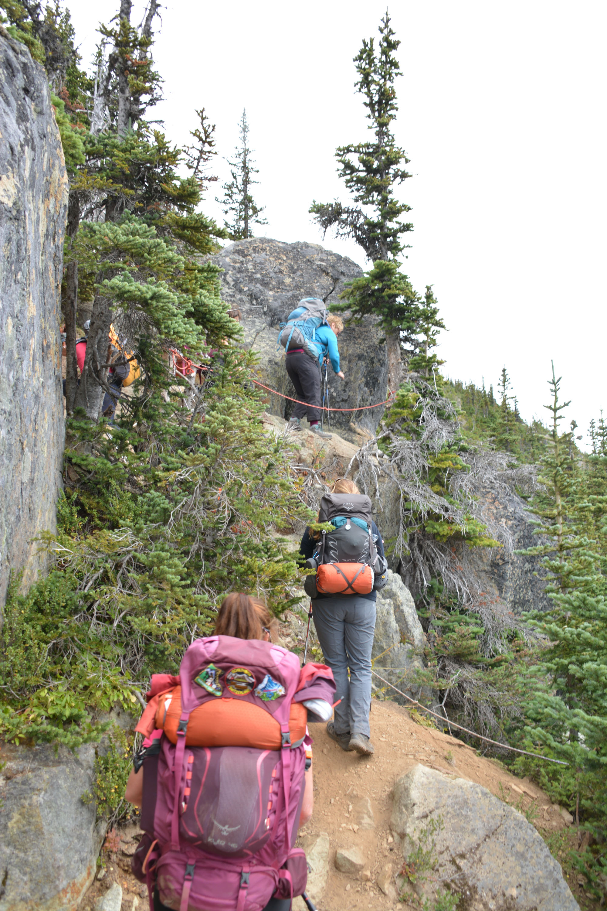
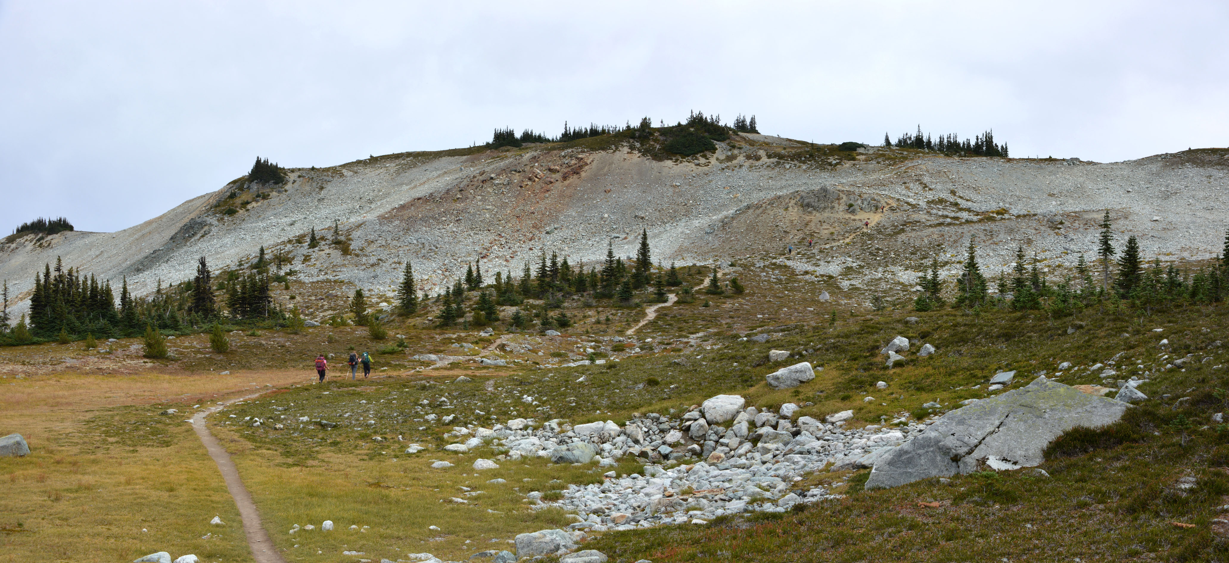
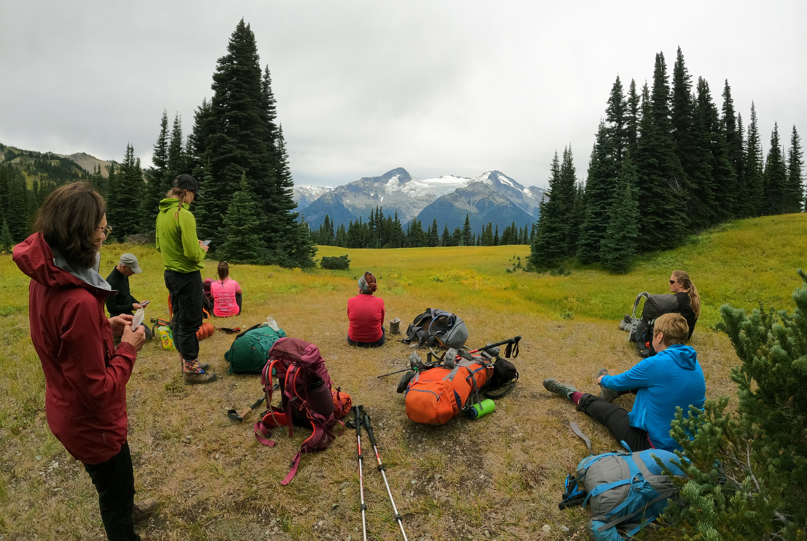
Début du dernier segment de notre voyage. Nous allons passer trois nuits dans un refuge (Kees and Claire Hut) situé dans le parc provincial Garibaldi, tout près de Whistler. De là nous pourrons explorer le paysage avoisinant. Nos sacs sont pleins et lourds, comme il faut apporter à manger (et à boire!) pour les trois prochains jours. Pour s’y rendre, nous prenons d’abord trois téléphériques, au départ de la ville touiristique de Whistler. Du sommet du dernier téléphérique, nous avons tout de même une bonne distance à parcourir.
Nous prenons d’abord le sentier ‘Half Note Trail’, puis un segment du fameux ‘High Note Trail’, puis finalement le ‘Musical Bumps Trail’ jusqu’au ‘Singing Pass’ en passant par les sommets ‘Flute’ et ‘Oboe’. De toute évidence il y a un thème ici! Nous arrivons en fin d’après-midi au refuge, qui affiche complet (on pensait que vu les conditions les réservations auraient été limitées, mais non).
Distance: 11km, Durée: 4h20 (3h45 en mouvement), D+: 486m


.")


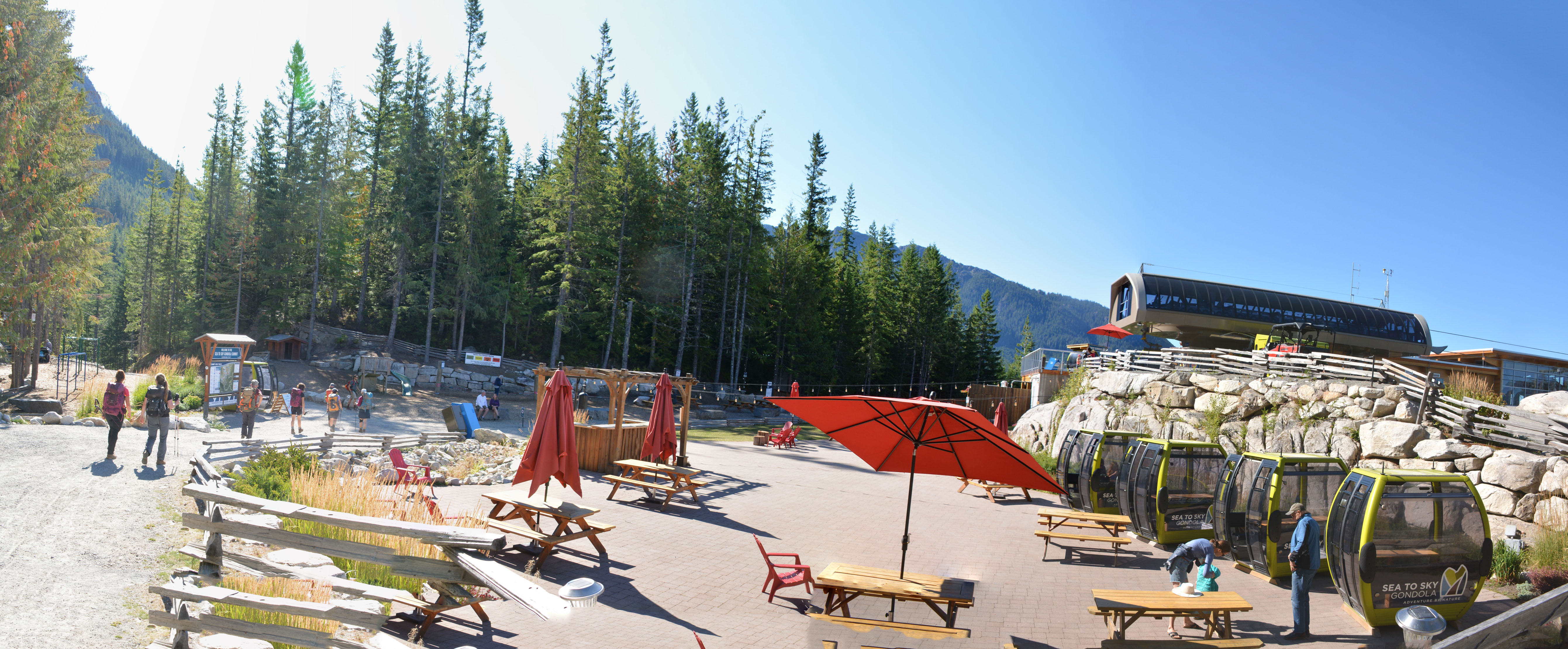
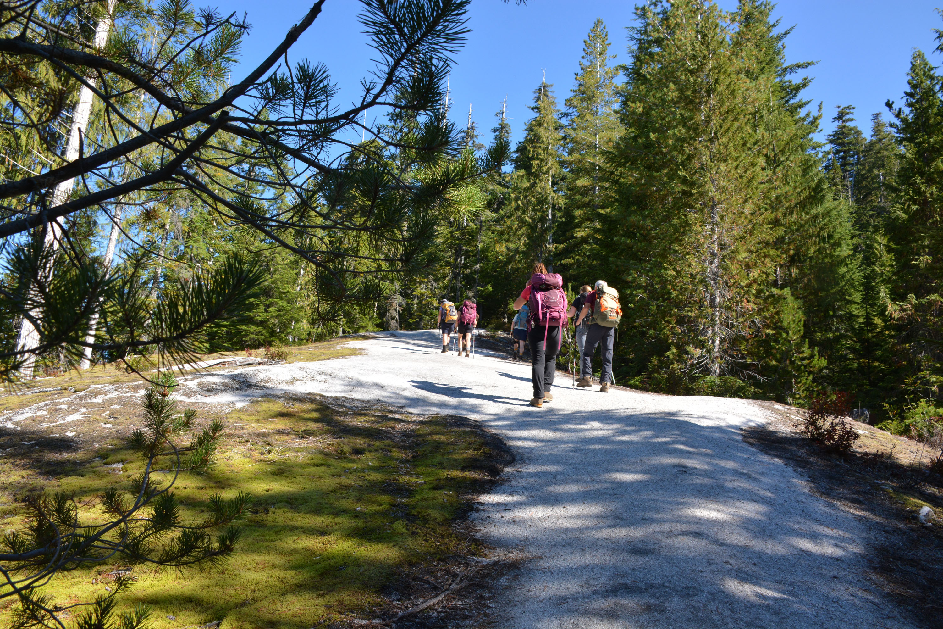
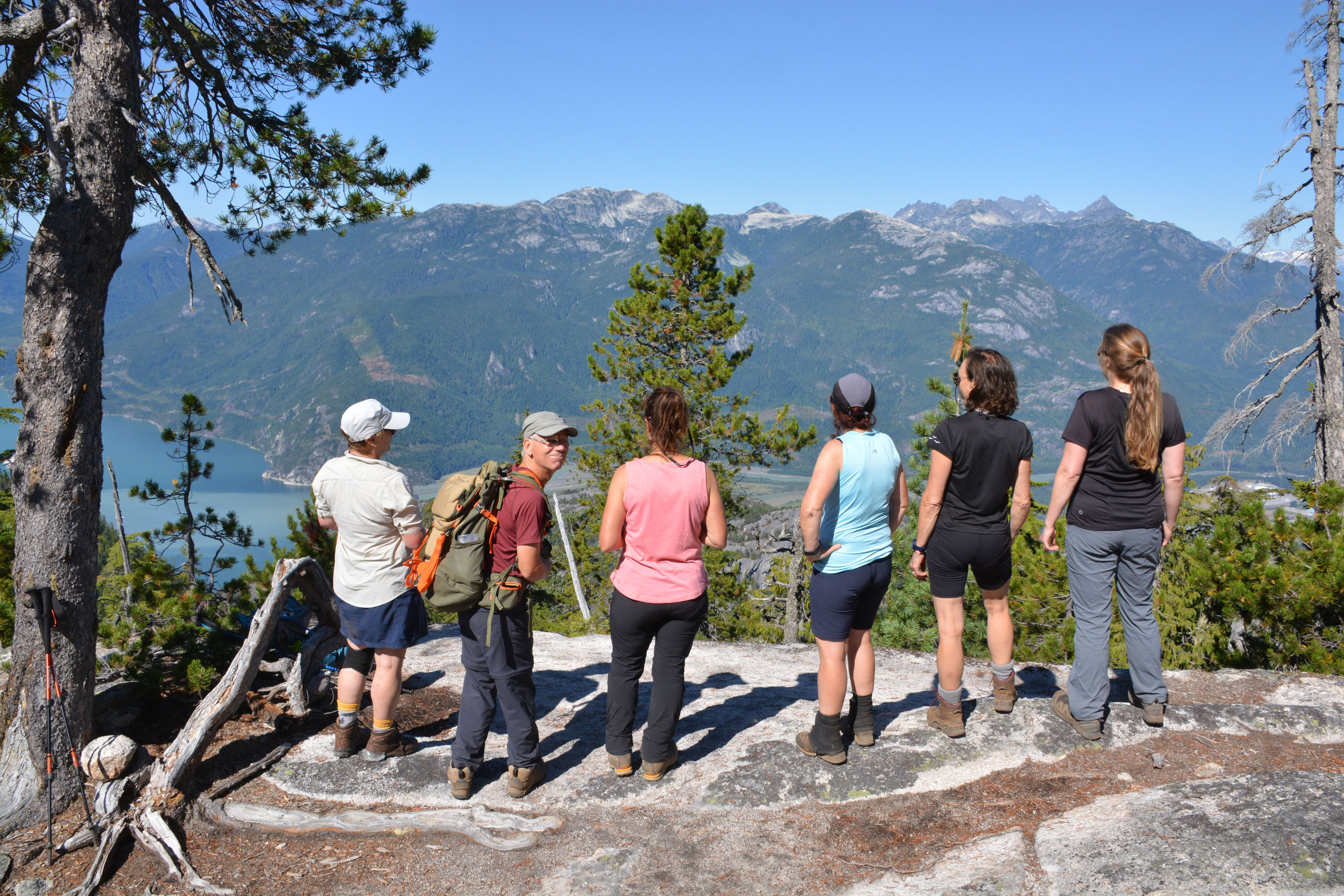
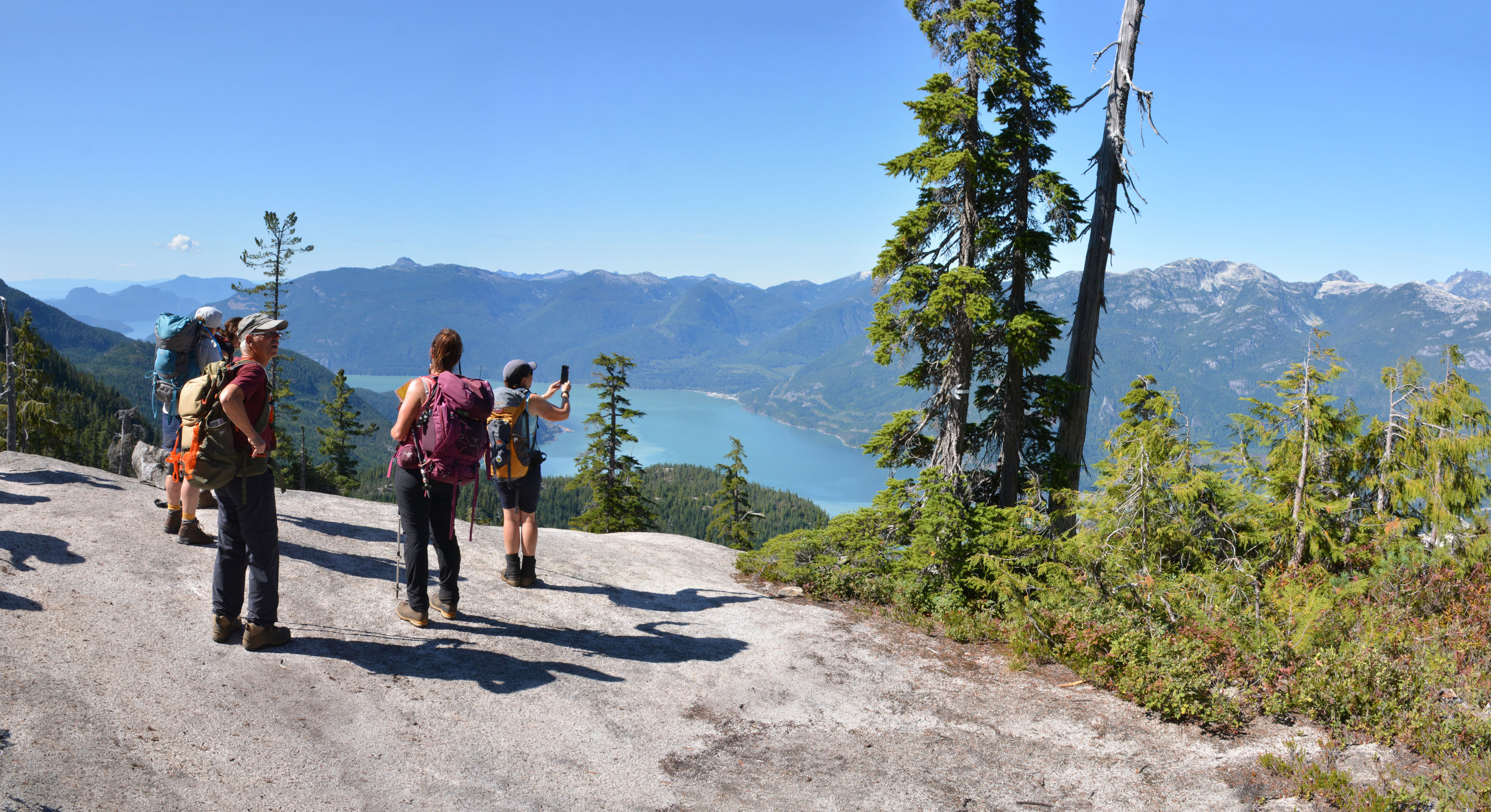
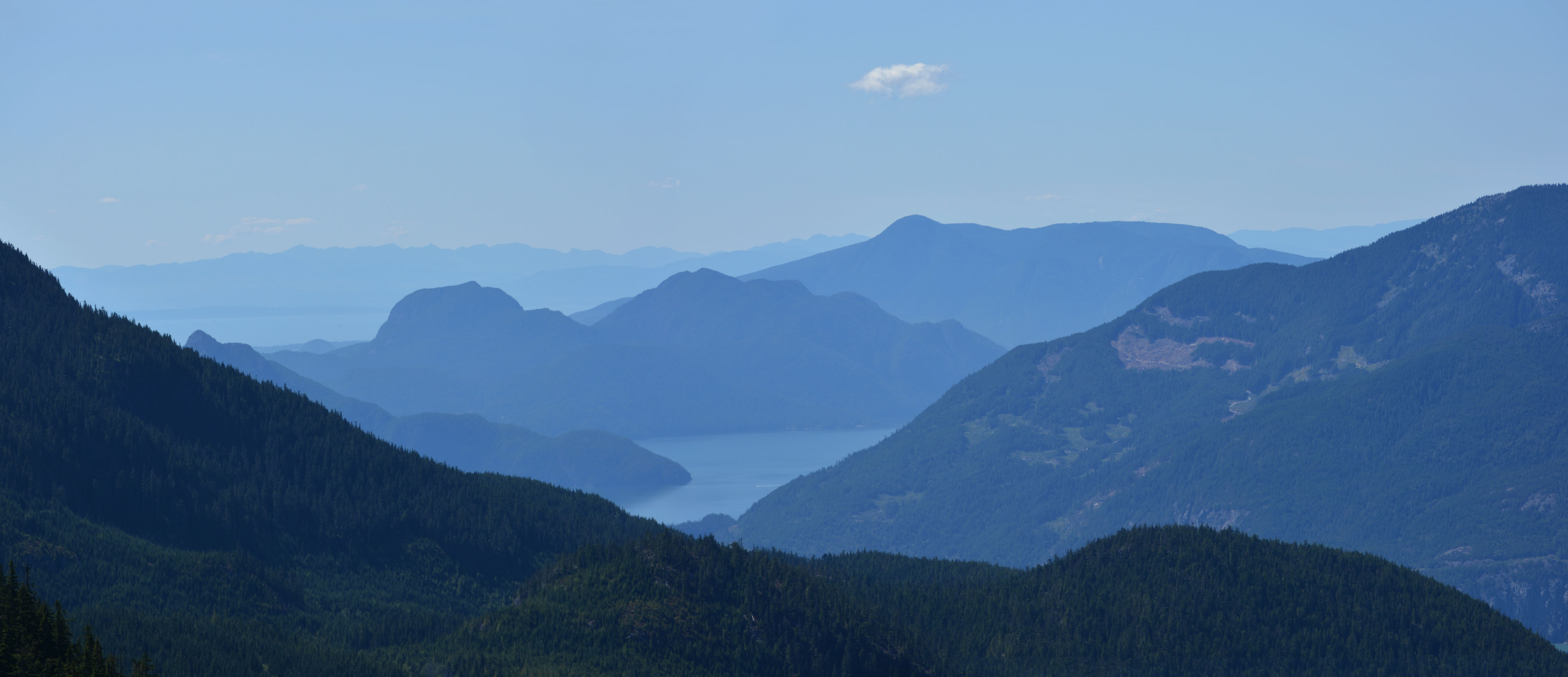
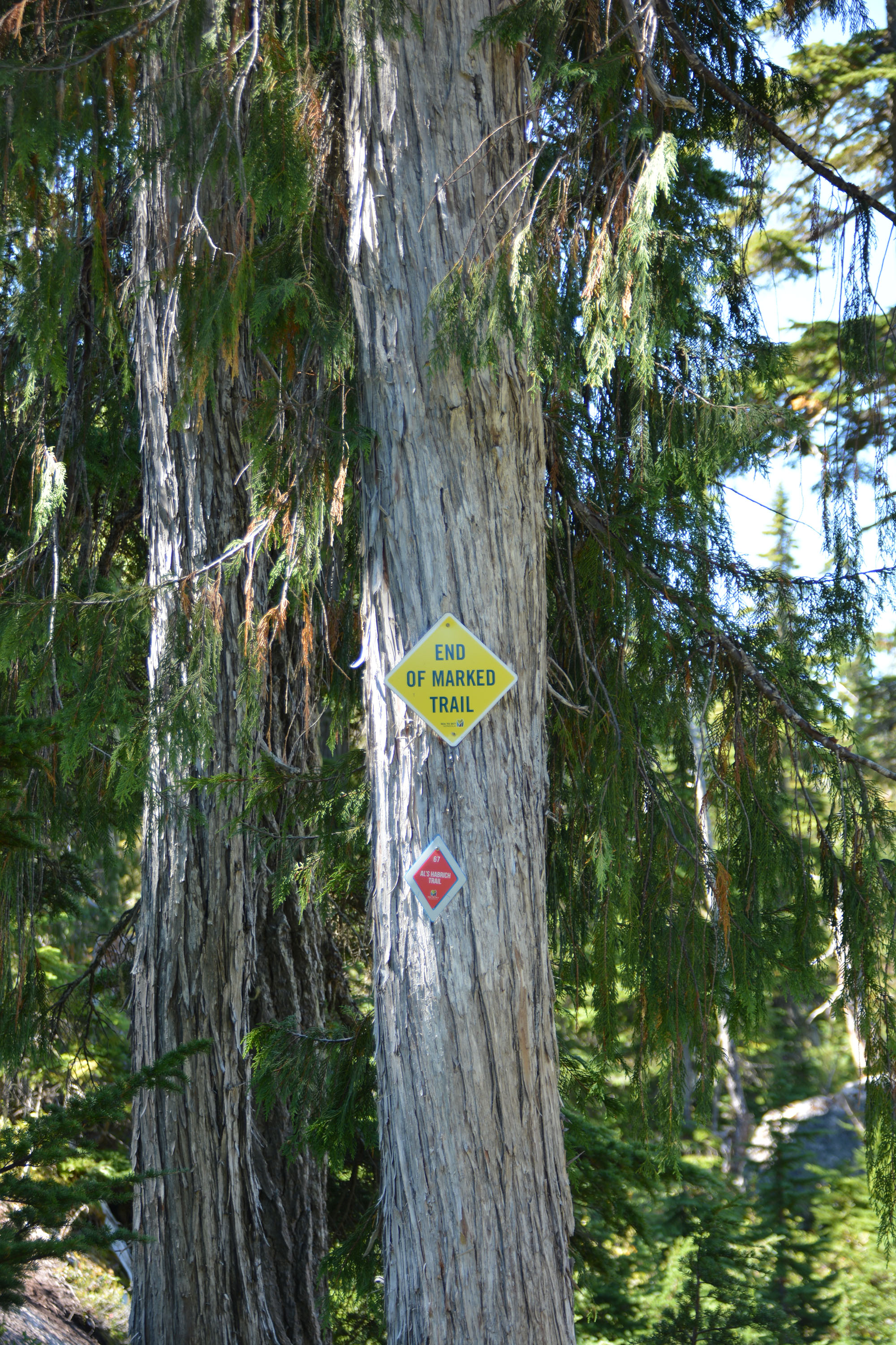
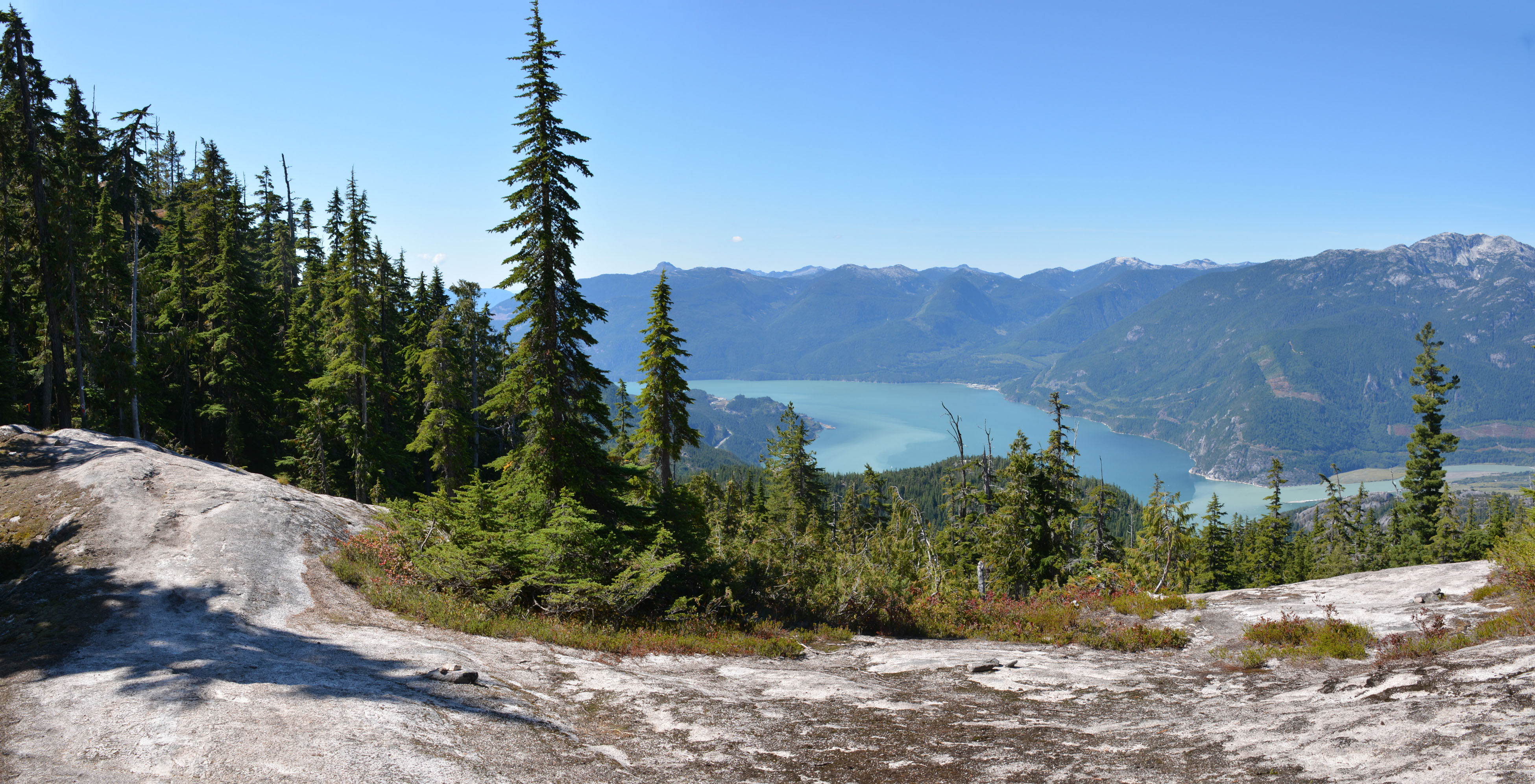
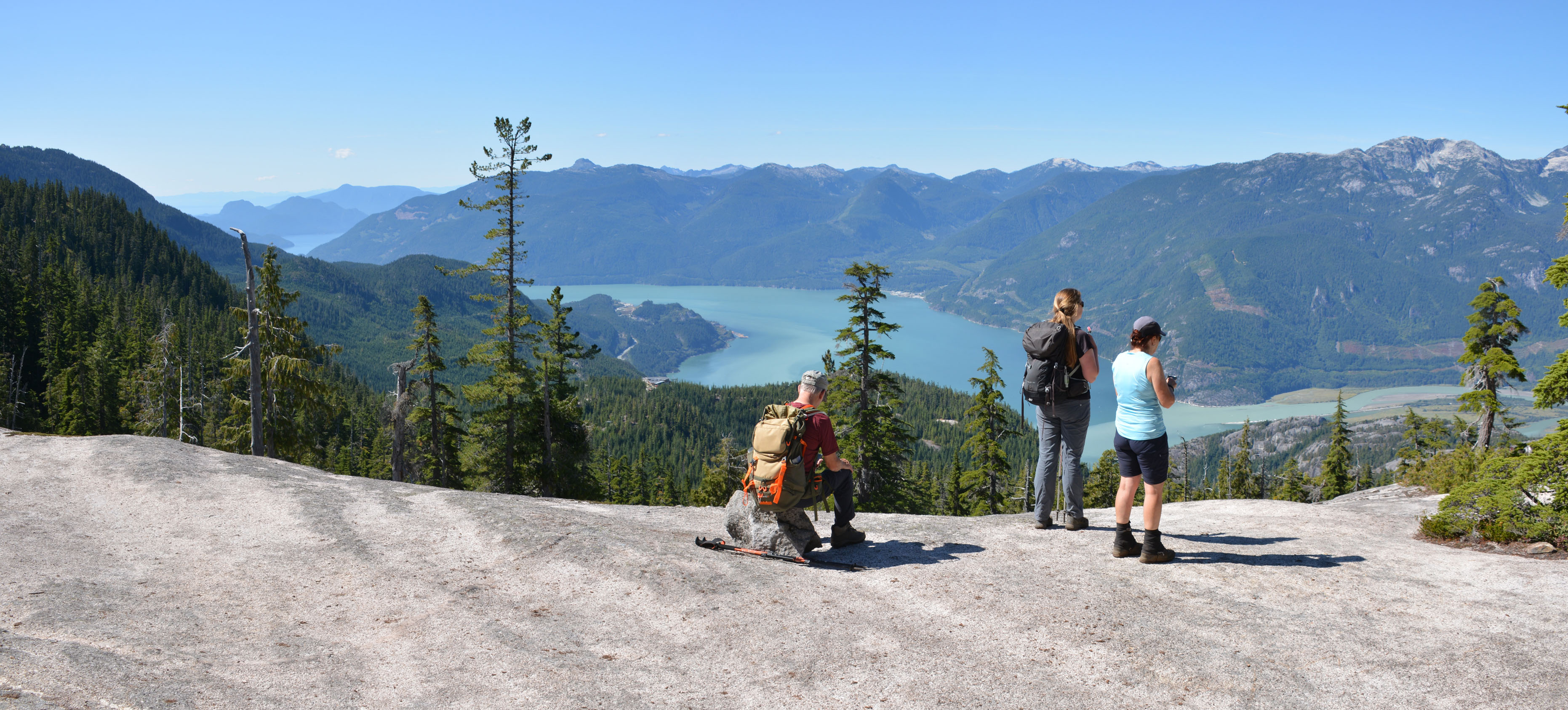
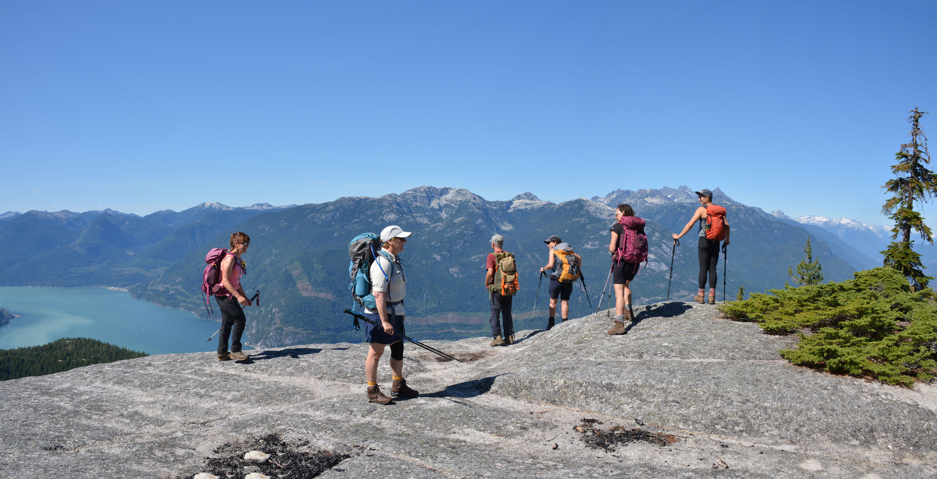
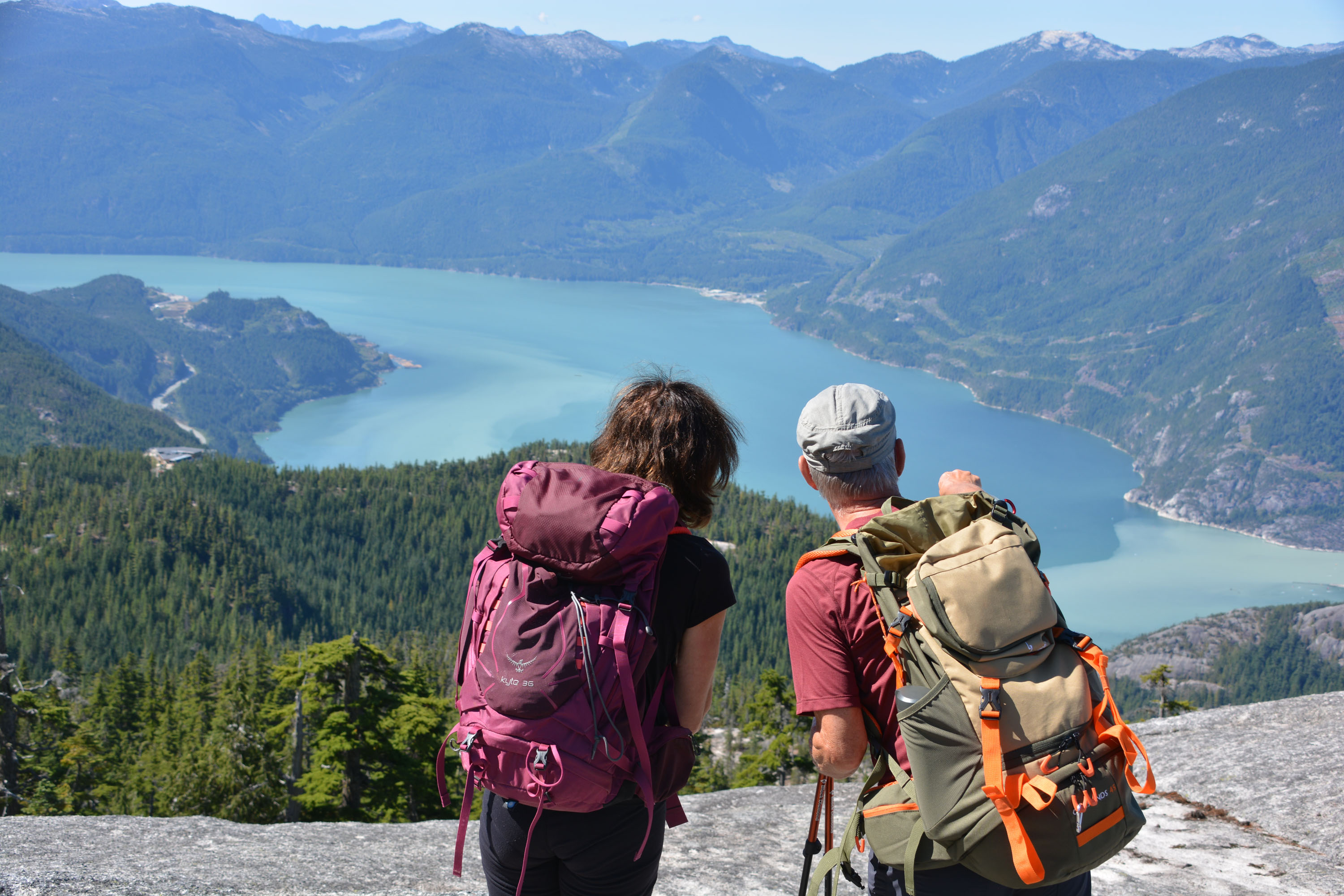
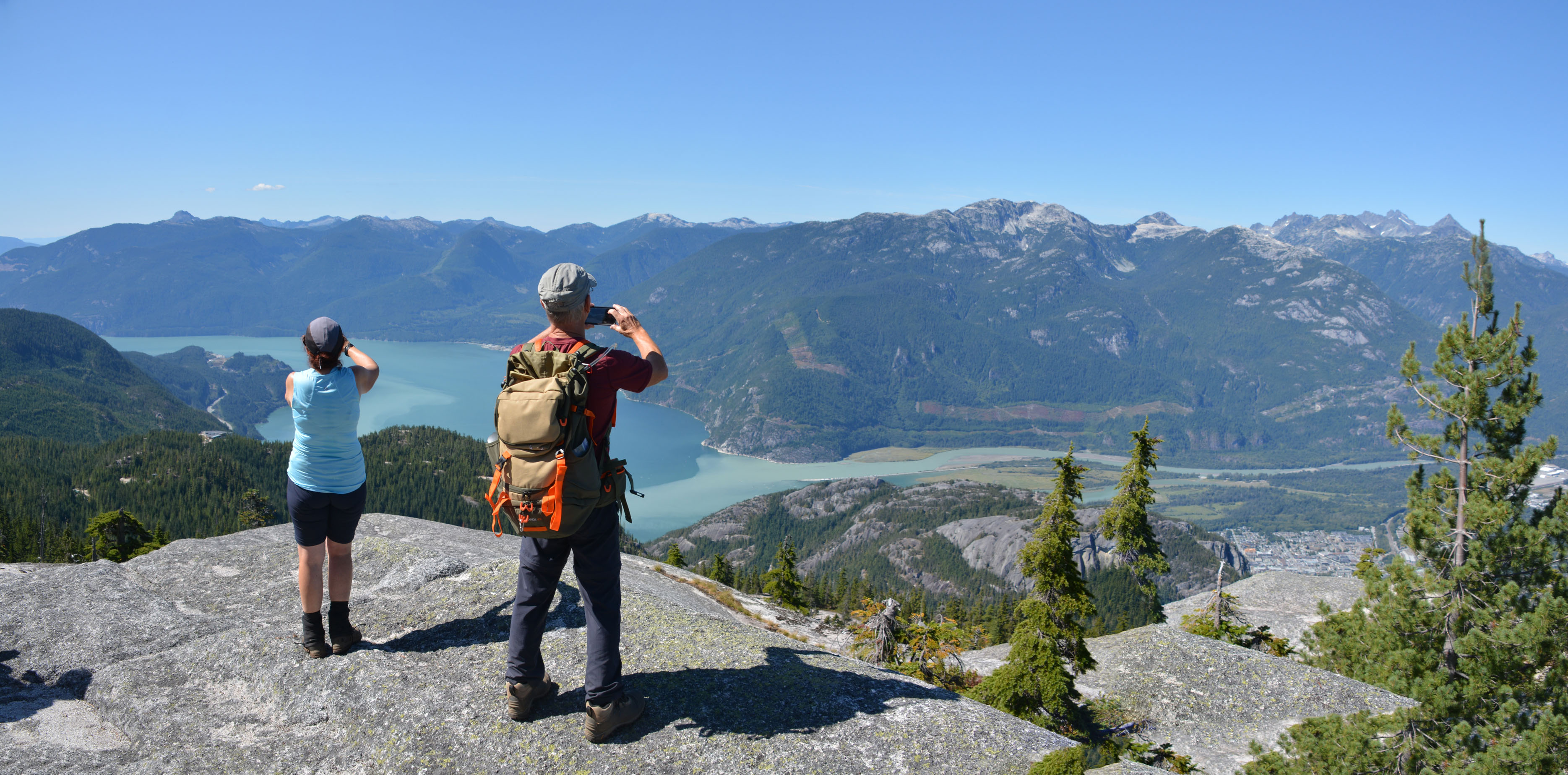
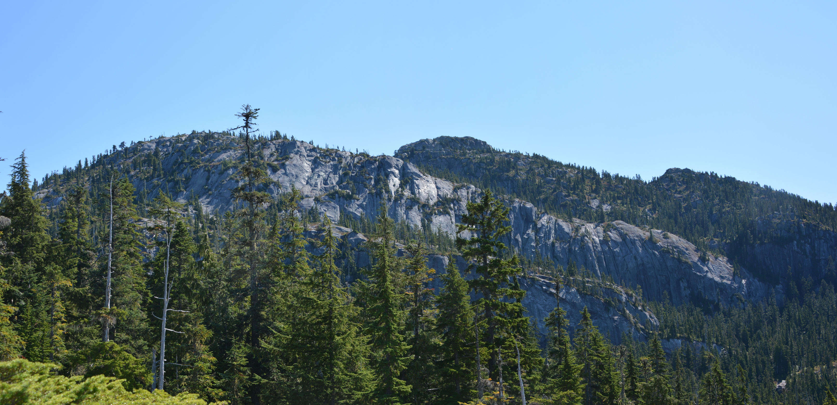
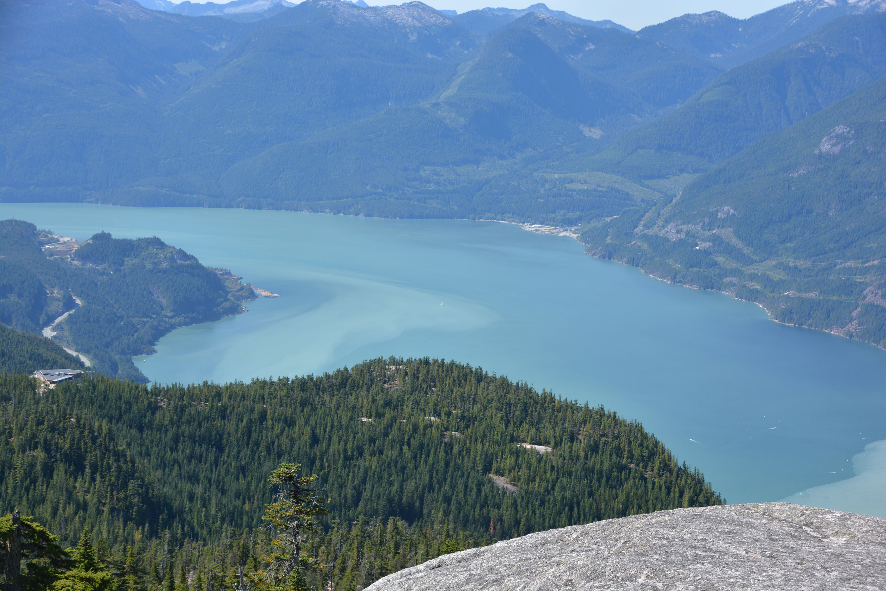
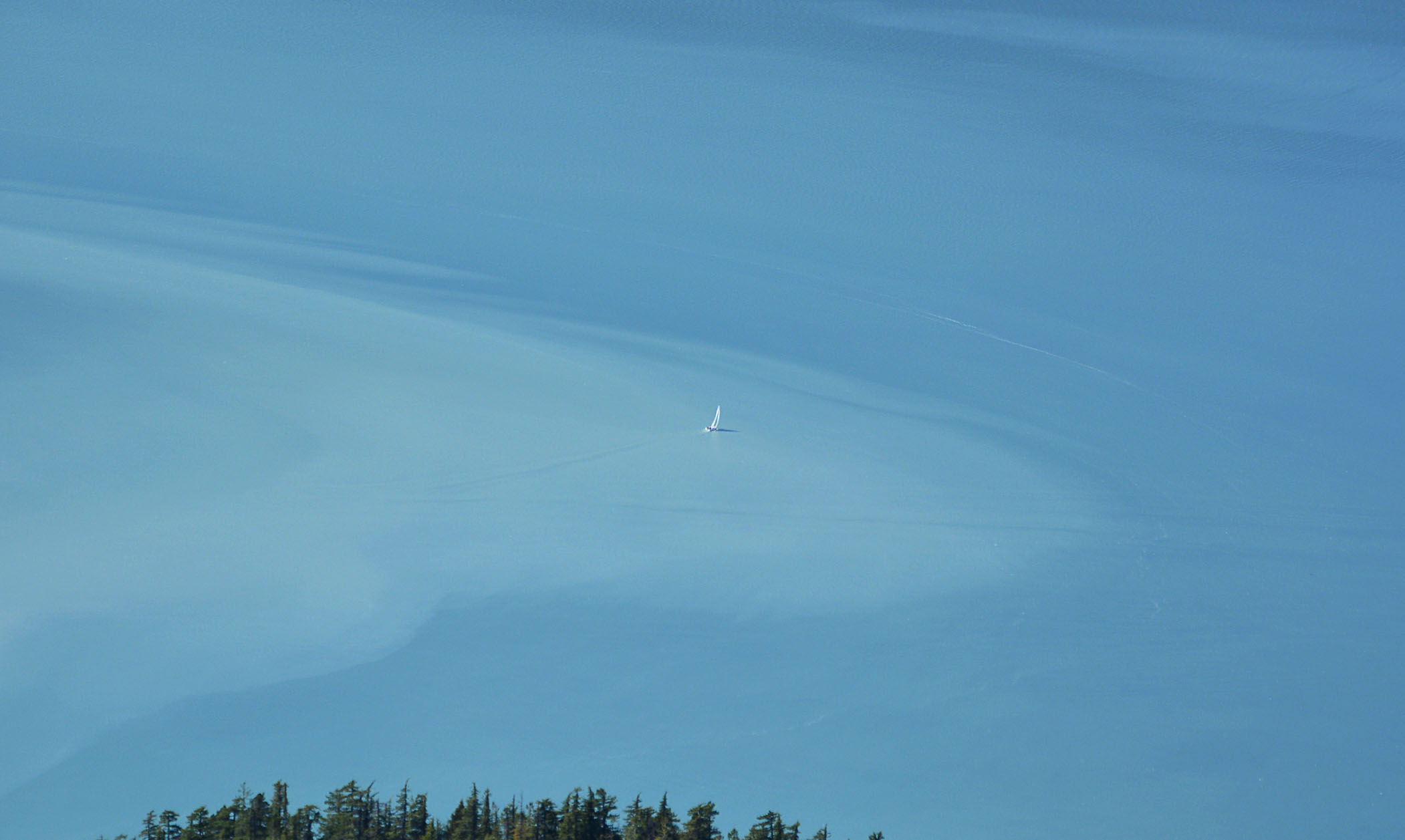
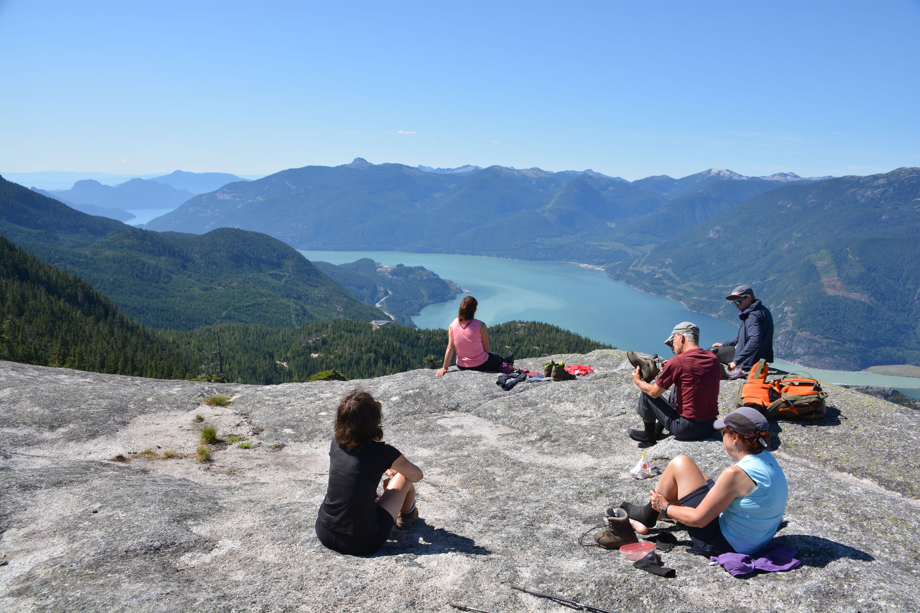
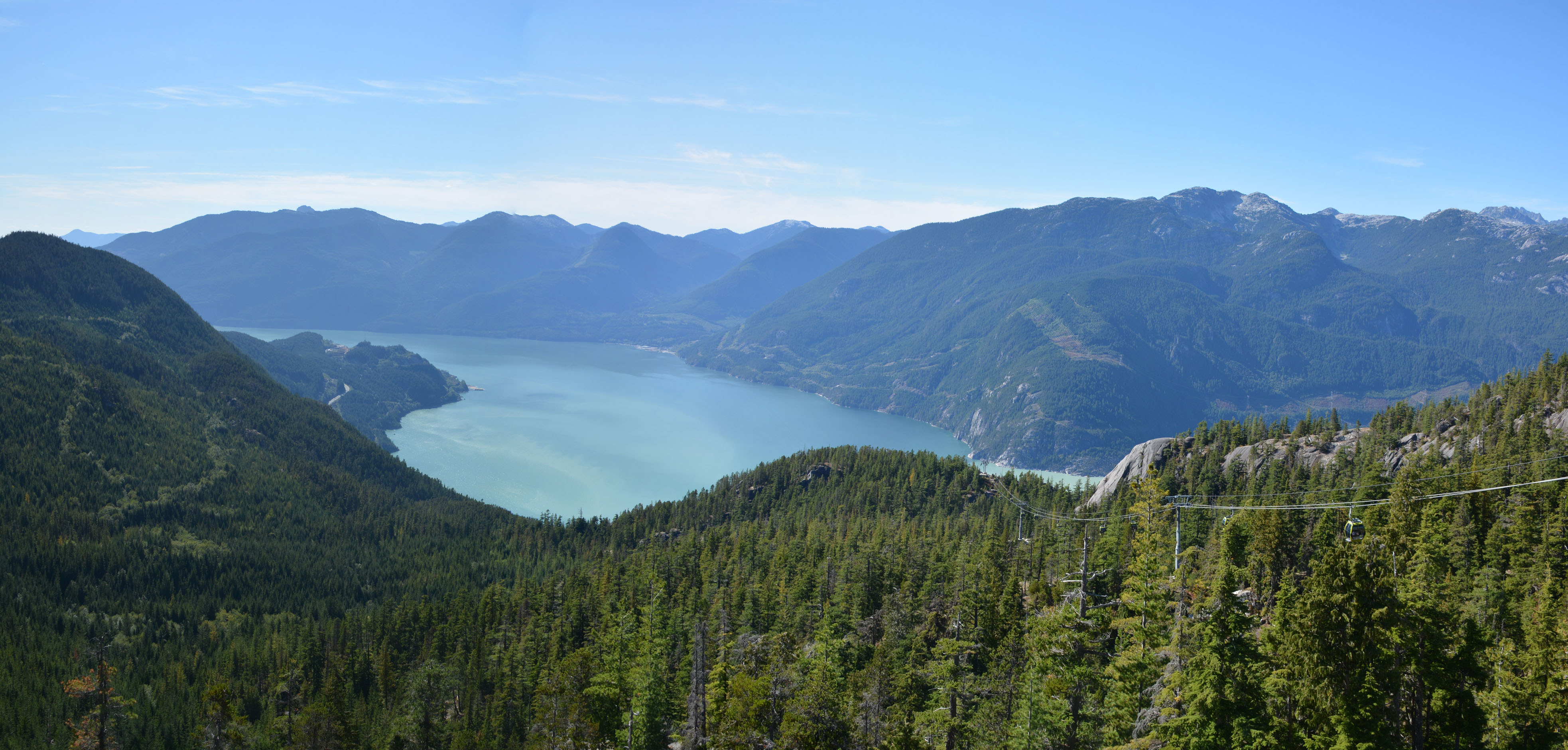
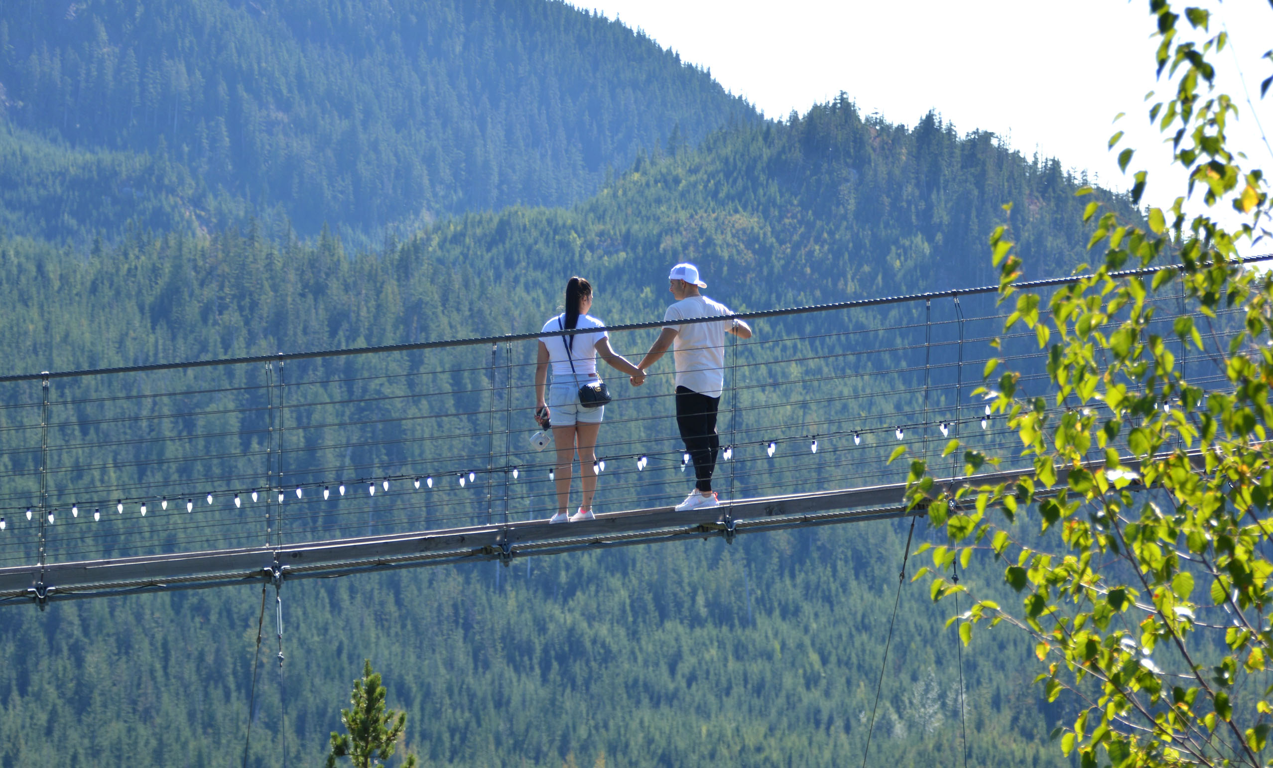
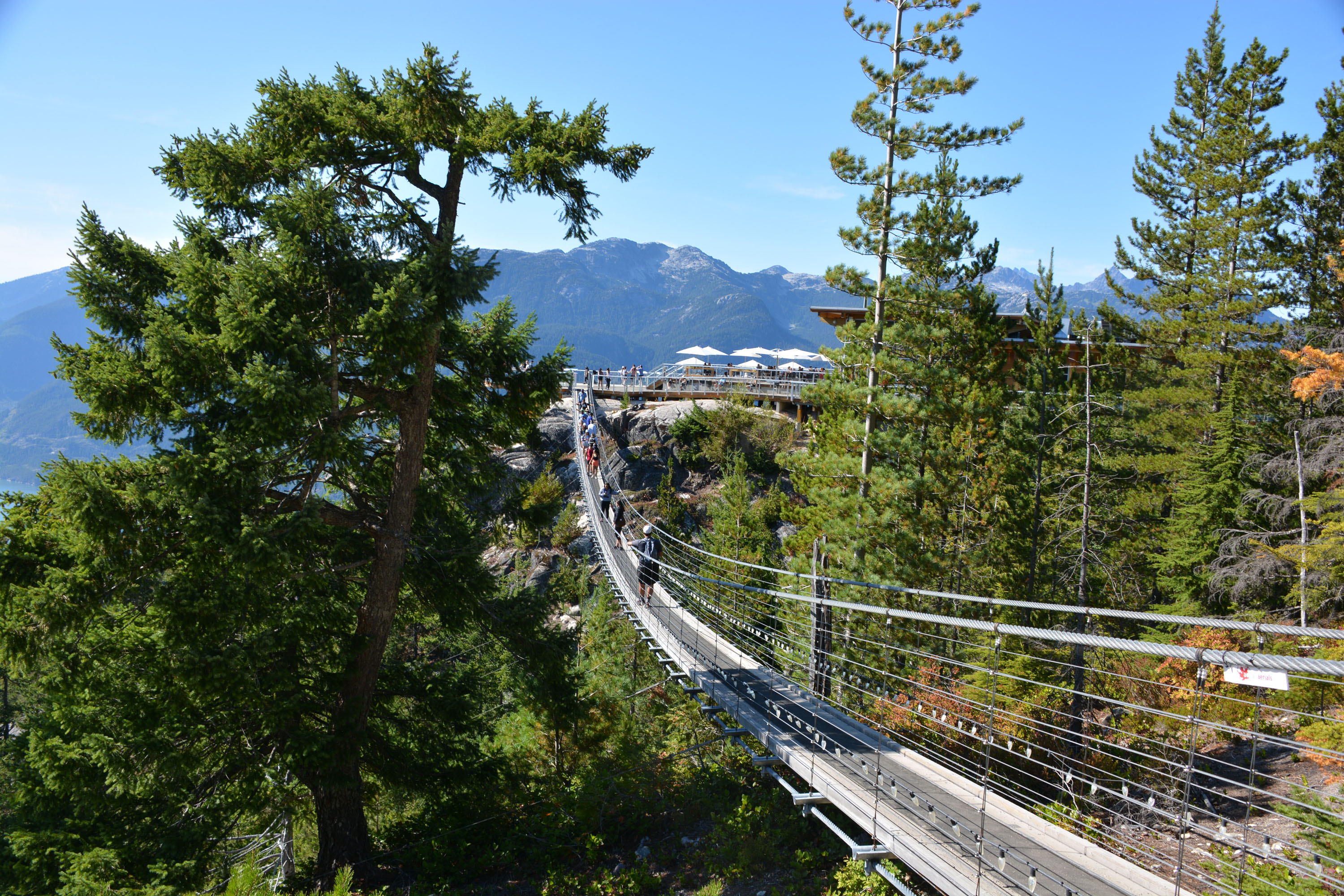
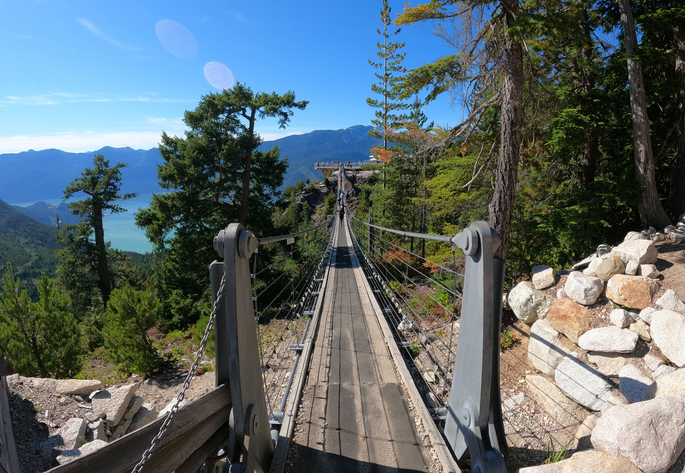
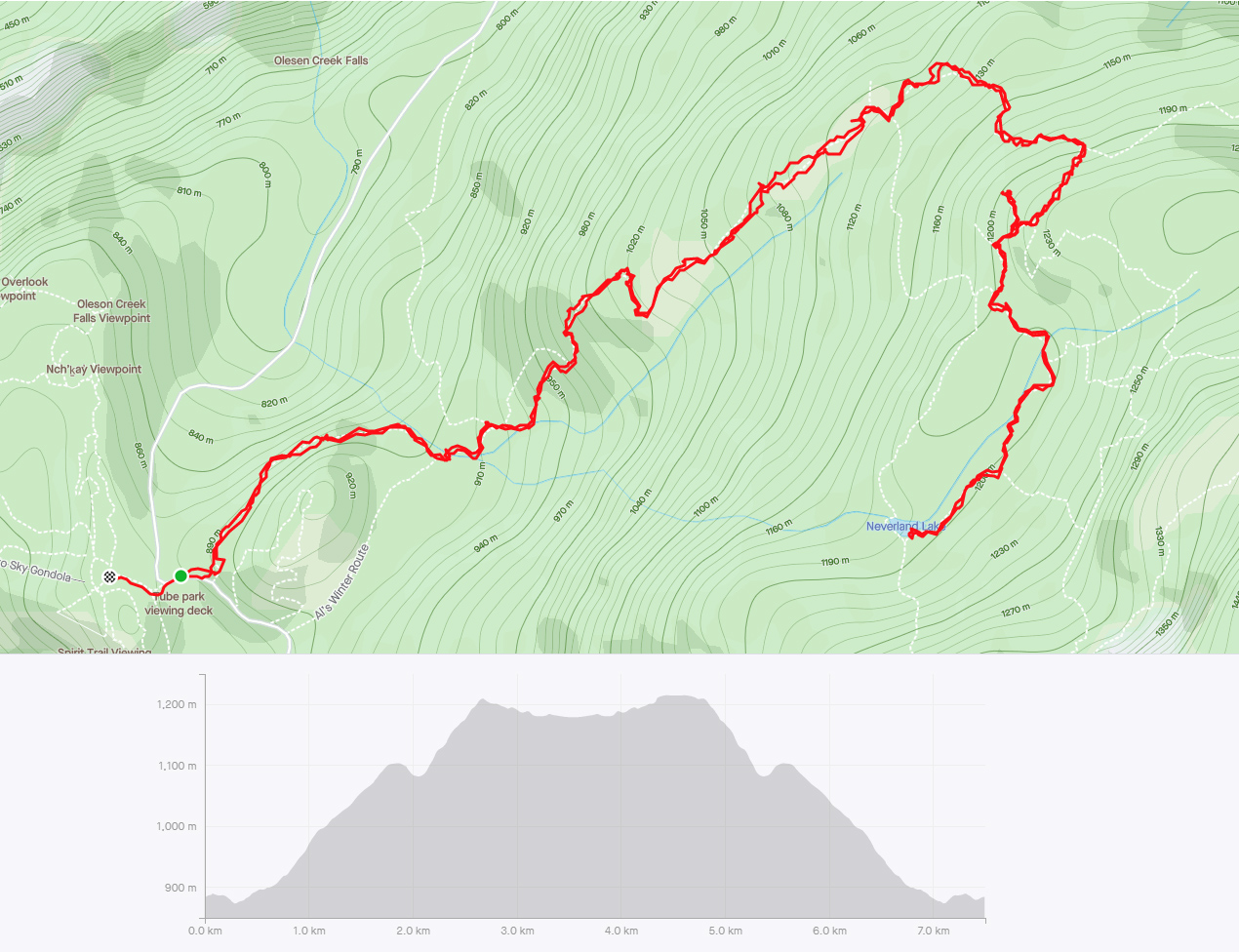
Als Habrich Trail – Squamish
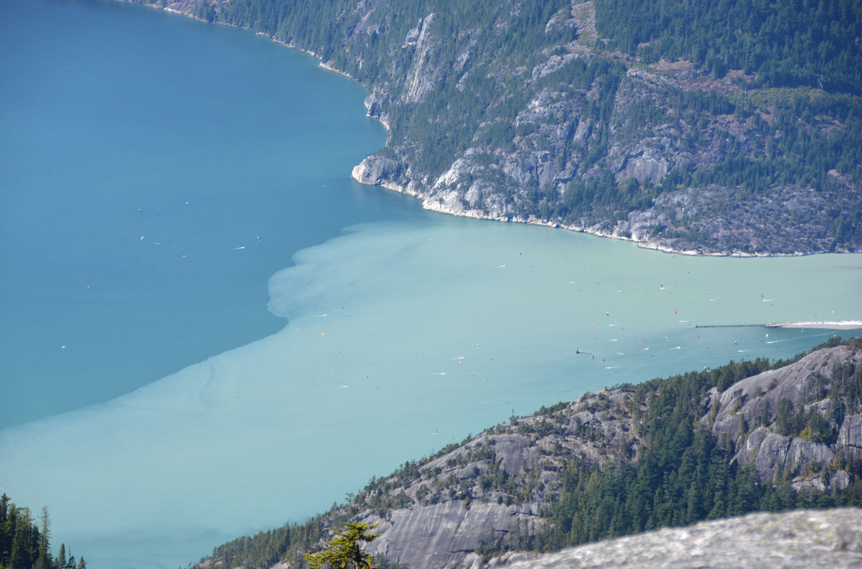
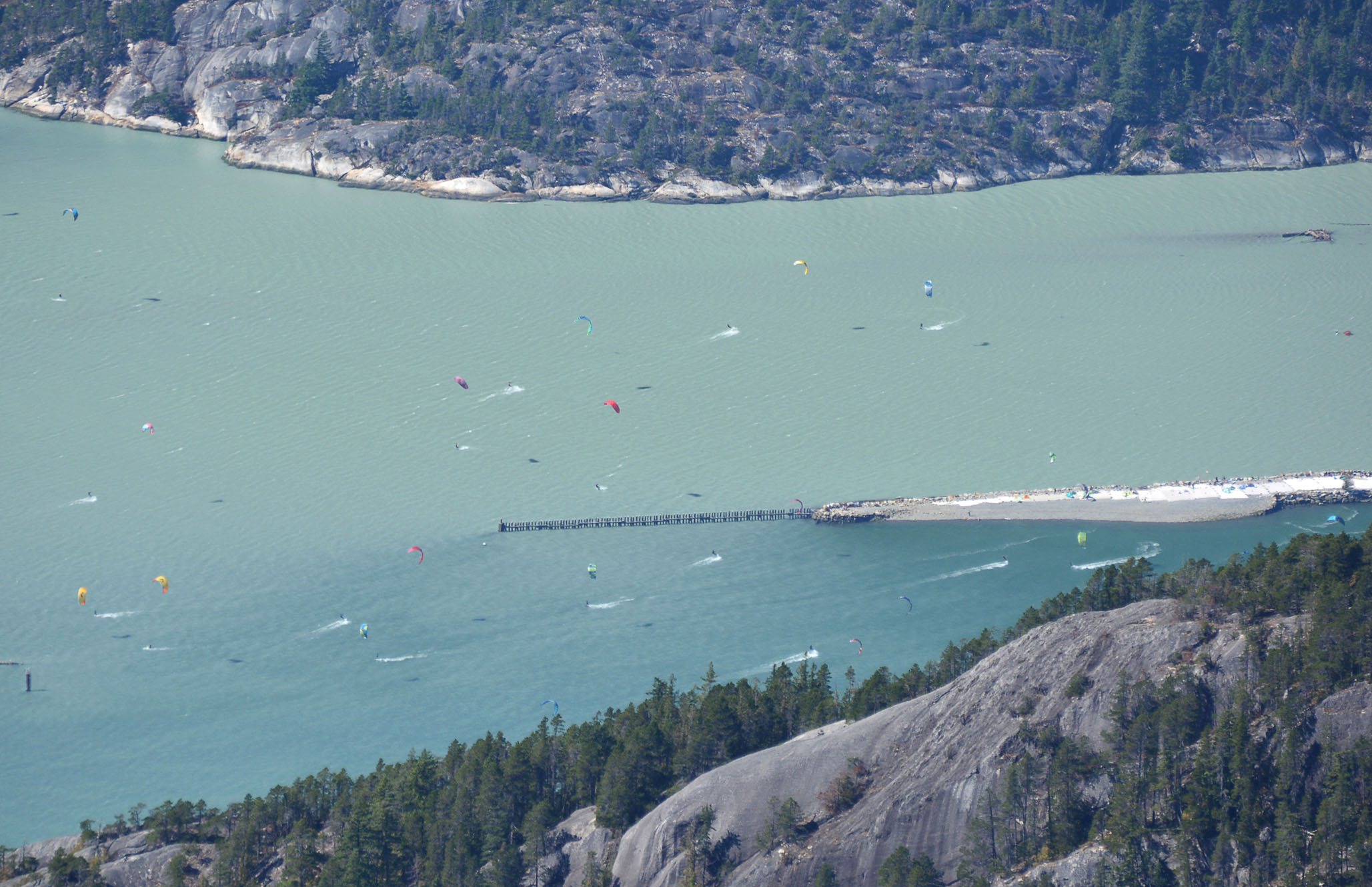
Hier nous avons pris le traversier à Nanaimo pour rejoindre le continent. Puis nous avons fait route vers Whistler pour s’installer pour les prochaines nuits à l’auberge de jeunesse. Aujourd’hui nous retraçons une partie de notre route pour faire une rando à partir de Squamish. Nous prenons le téléphérique ‘Sea to Sky Gondola’ pour accéder au sentier, question de prendre une pause de gros dénivelé, et surtout de prendre le temps de bien apprécier le ‘Al’s Habrich Trail’. La surface du sentier est en bonne partie sur de grosses ‘dalles’ de rocher. On senrent jusqu’à un petit lac, mais on revient sur nos pas pour le lunch, pour manger avec une vue incroyable. En contrebas on voit le bout de la baie (‘Howe Sound’) et on distingue à peine les nombreux kite surfs qui de notre point de vue paraissent comme de minuscules points dans l’eau. Petit arrêt à une microbrasserie au retour.
Distance: 7.5km, Durée: 4h (3h en mouvement), D+: 441m
.")