


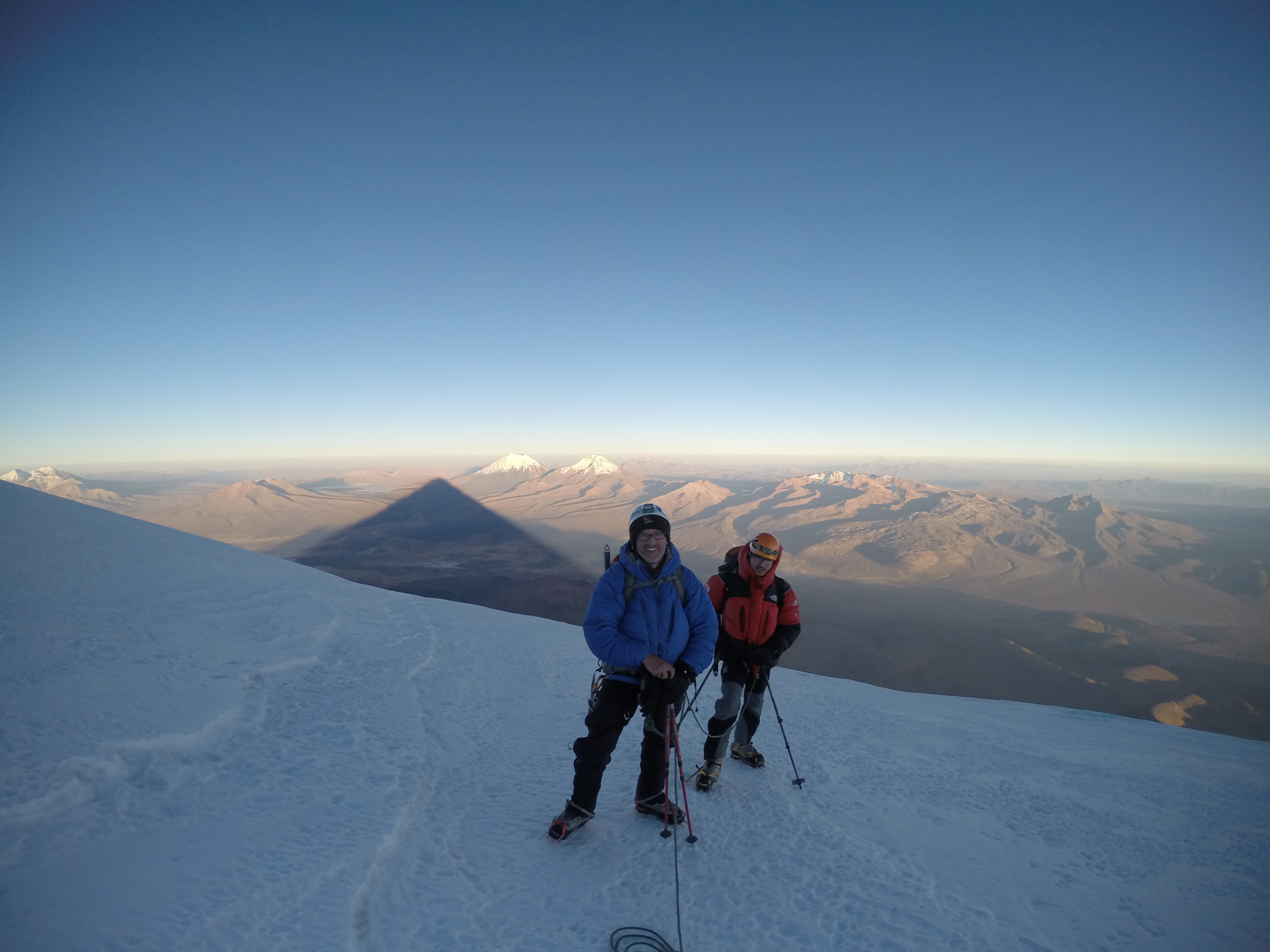
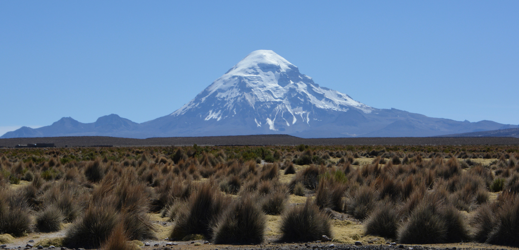
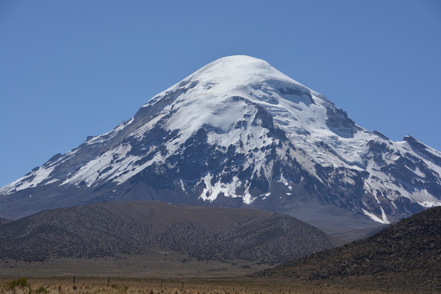
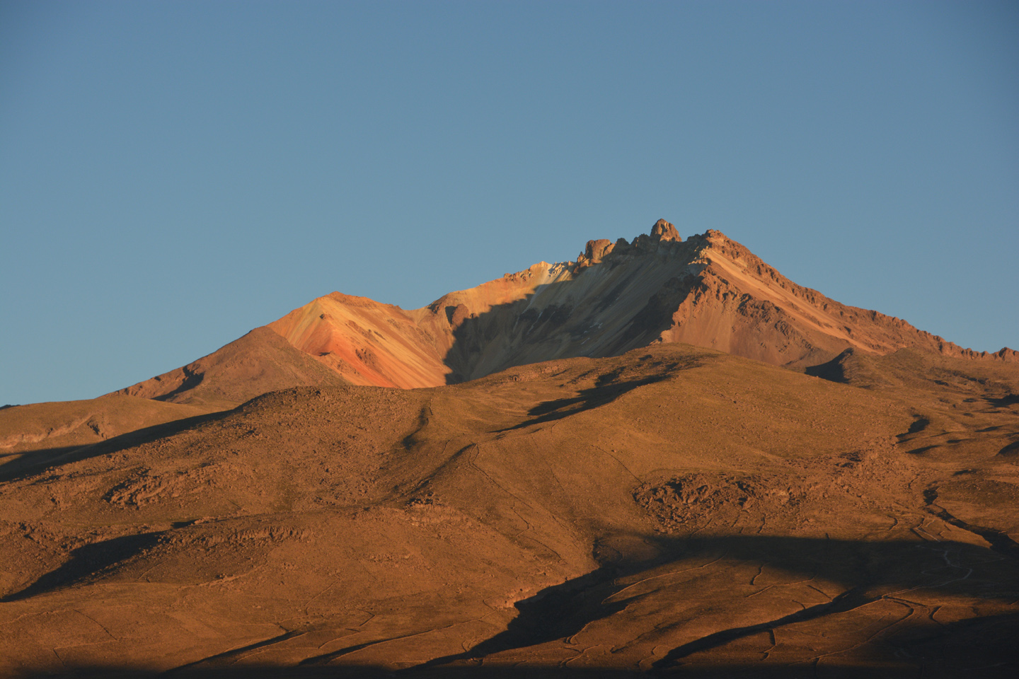
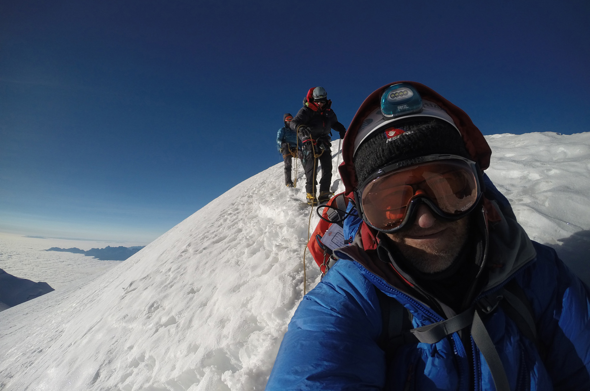
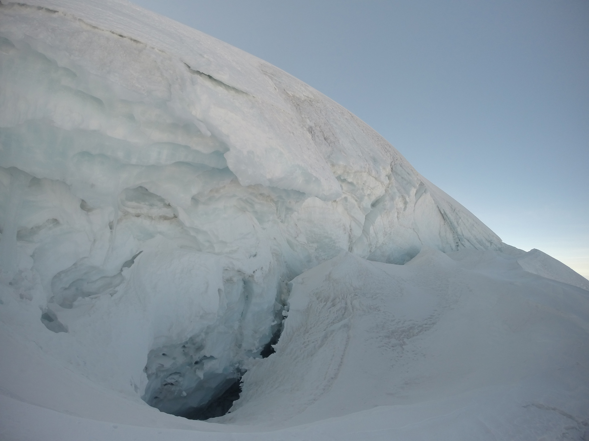
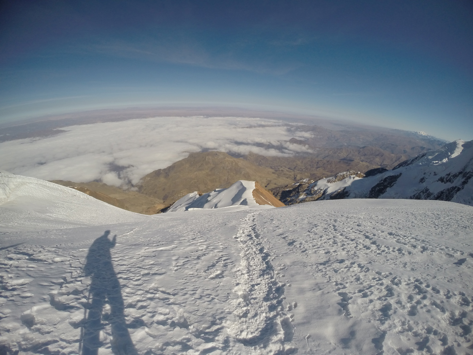
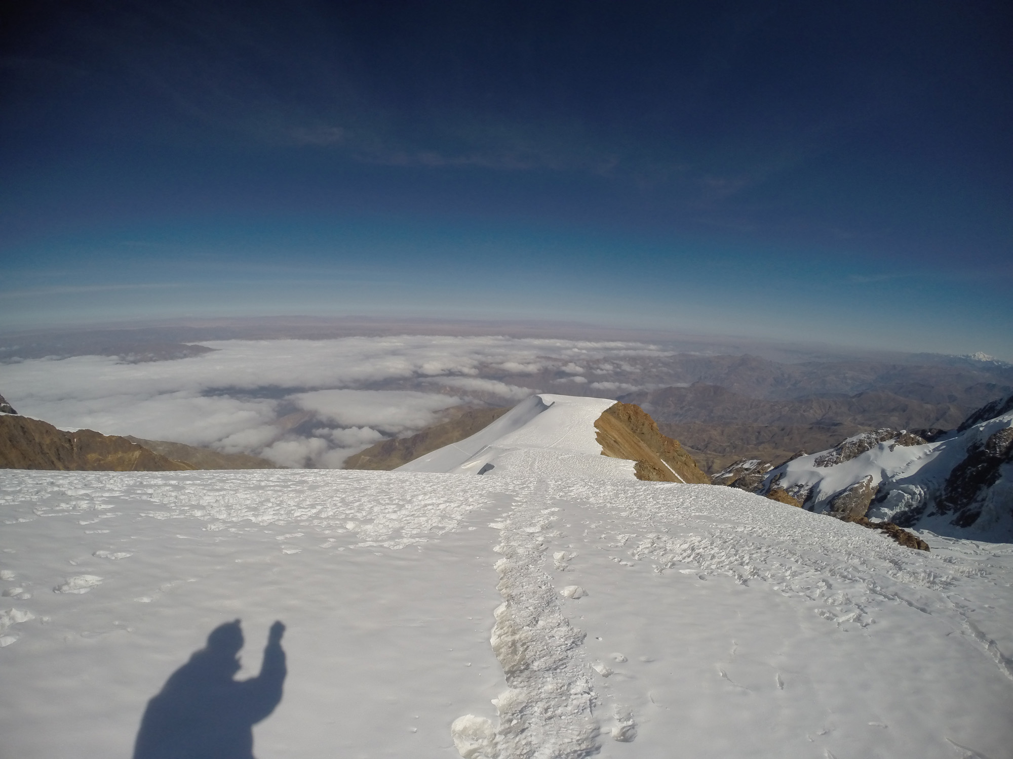
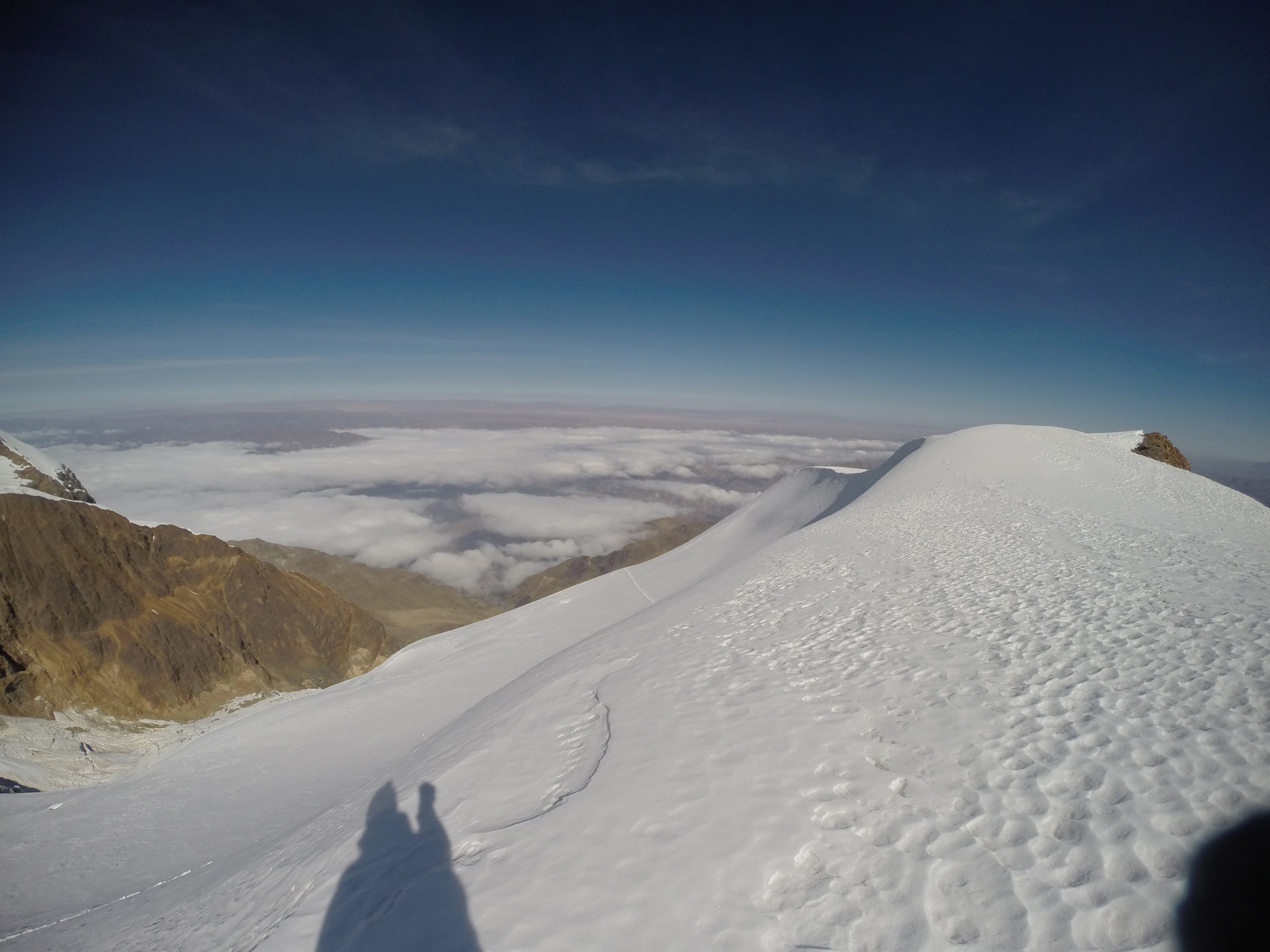
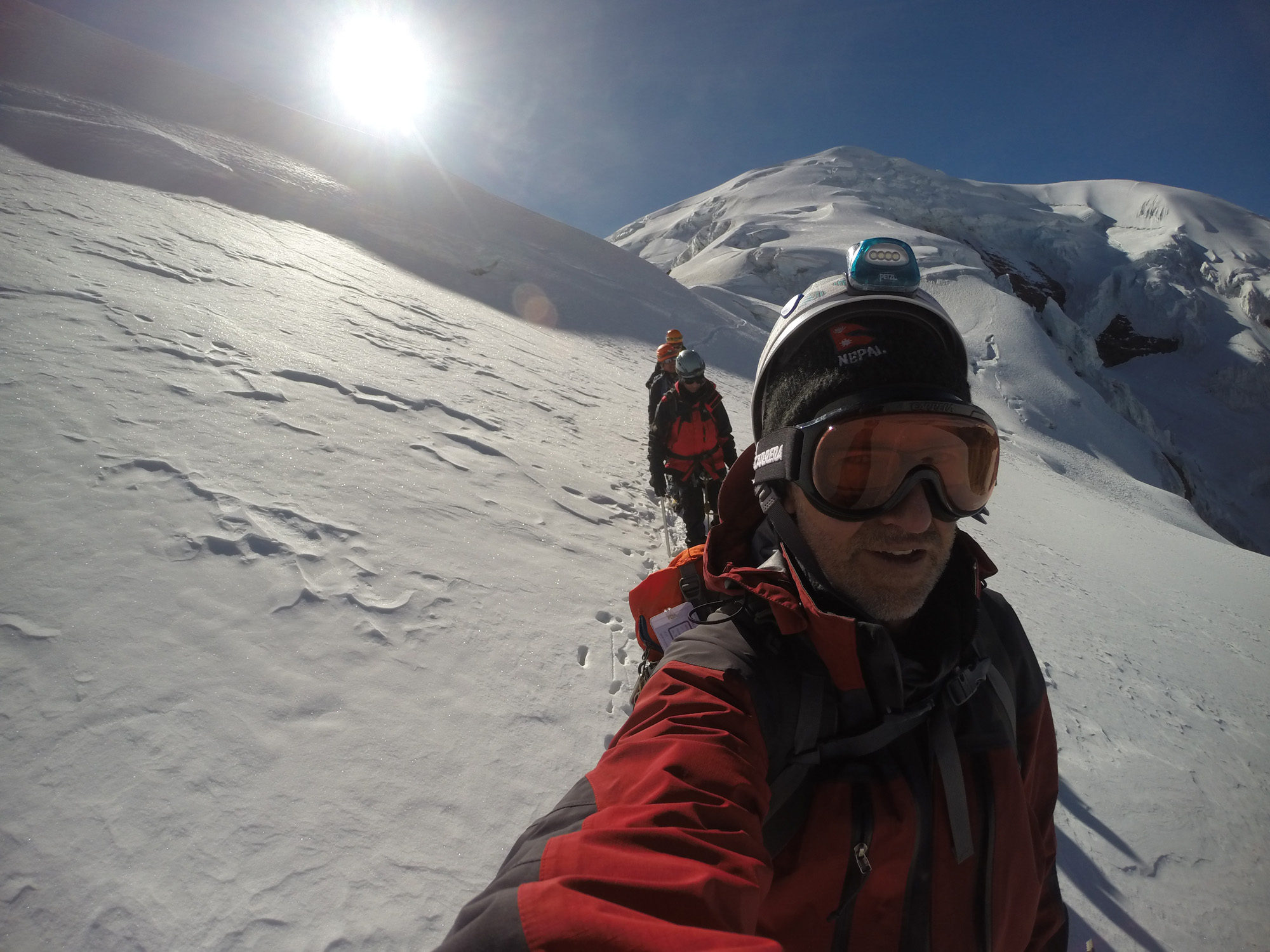
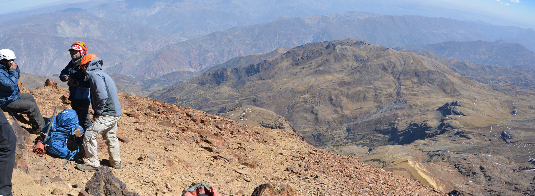
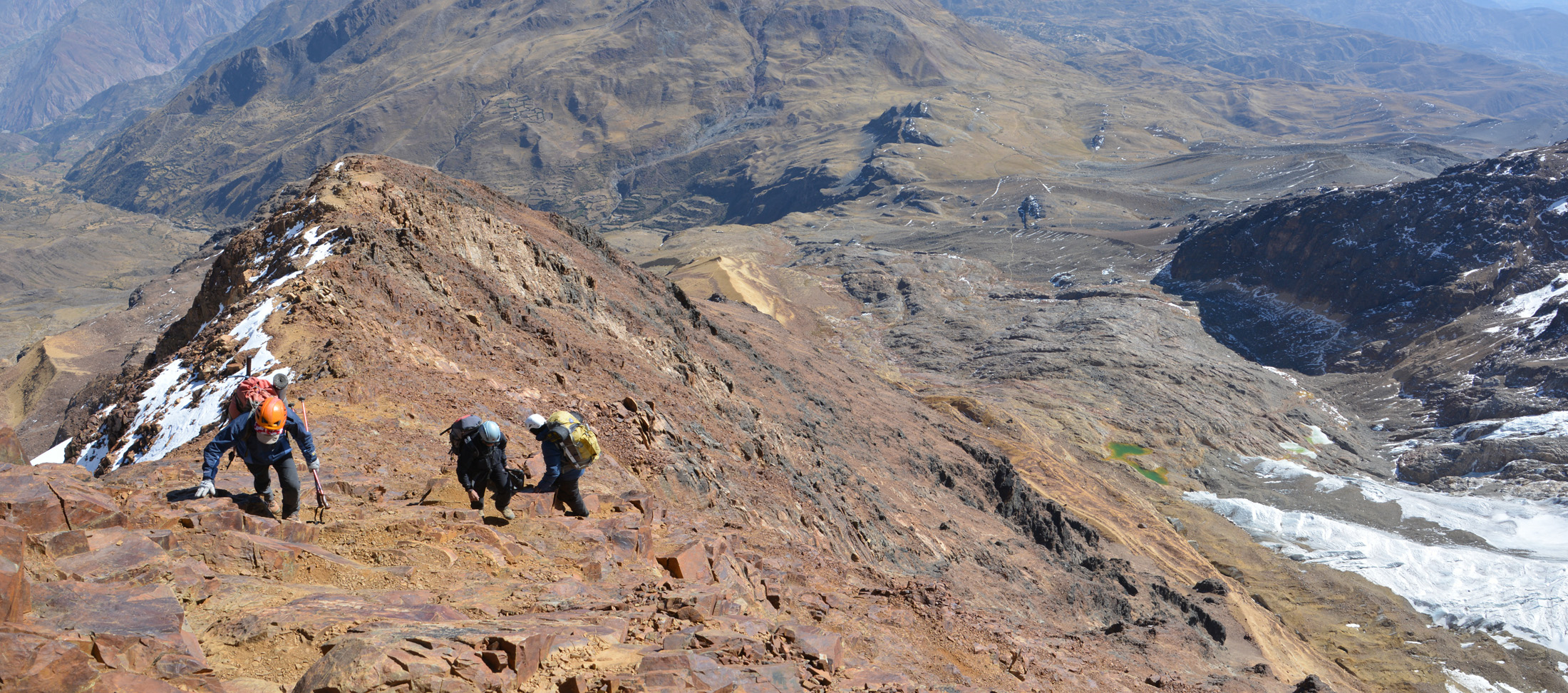
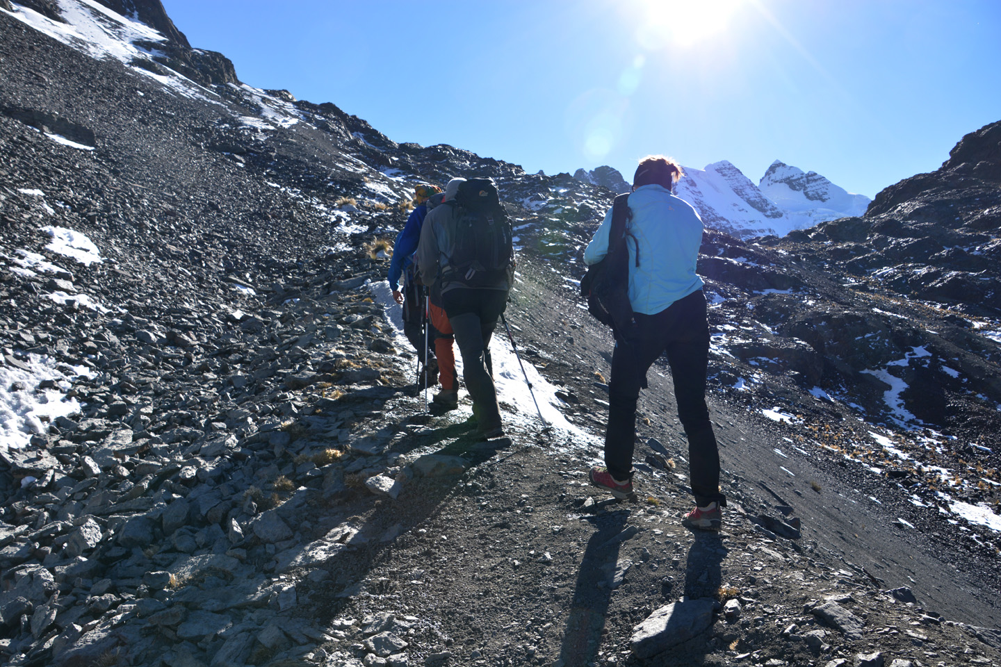
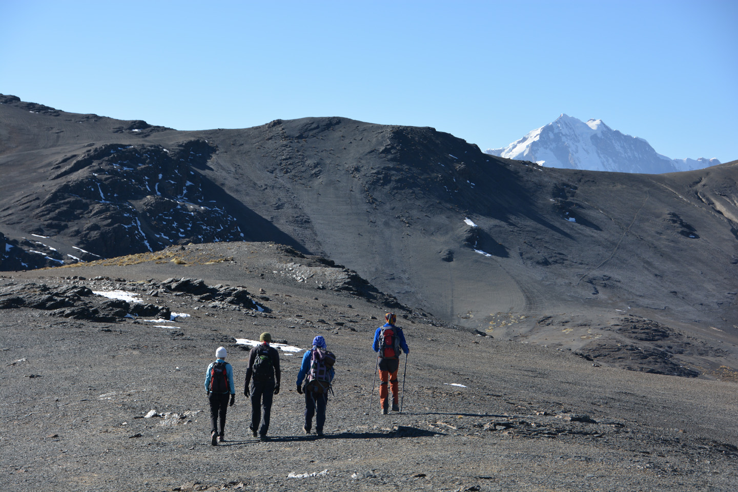
Sajama – Sommet – 6542m
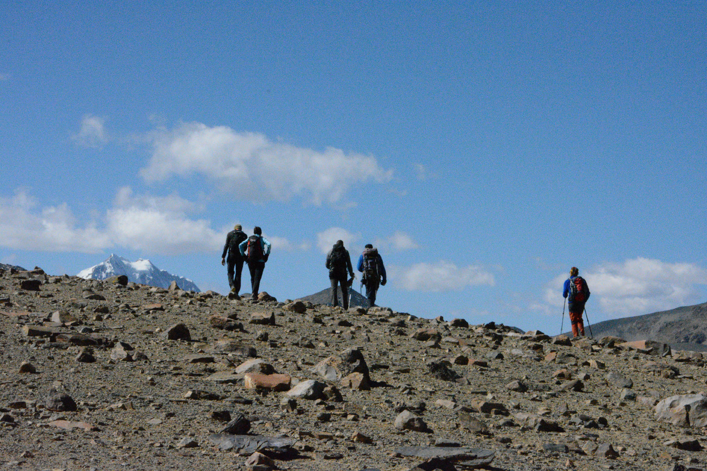
Le dernier sommet de notre voyage, et le plus exigeant. Évidemment parce que c’est le plus haut sommet de la Bolivie, donc l’altitude et le manque d’oxygène est un facteur majeur. Mais aussi parce qu’il y a quelques sections plus corsées à franchir, entre autres on doit traverser un champ de pénitents qui testera notre patience. Et puis, surtout, le fait que le sommet de cette montagne semble se défiler au fur et à mesure qu’on grimpe. La météo, par contre, jouera en notre faveur pour cette ascension: beau temps et pas de vent!
Nous avons grimpé à deux cordées, Paul et Luigi ayant dû renoncer à faire l’ascension. Nos amis Suisses nous ont rapidement semé, une fois le champ de pénitents passé, et c’est donc Laurent et moi, guidés par Marcello qui les suivront de loin. Le sommet enfin atteint (6542m – mon nouveau record), notre journée était loin d’être terminée, puisqu’on a marché en tout 13 heures avant de finalement rejoindre notre point de départ d’il y a 2 jours.


")


")


")


, mais d'ici on dirait que la pente de la montagne est toute douce.")

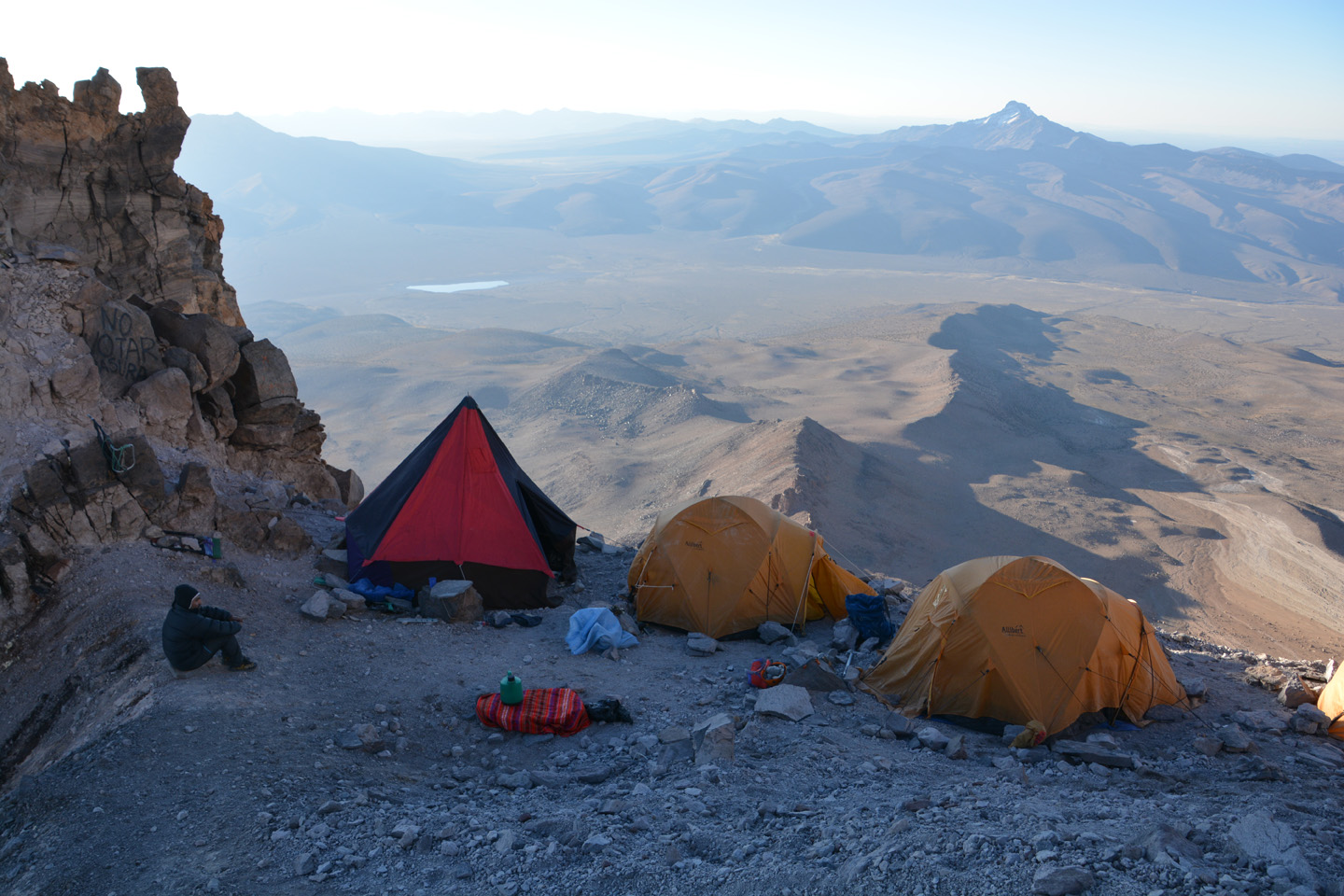
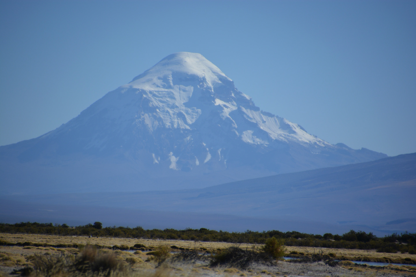
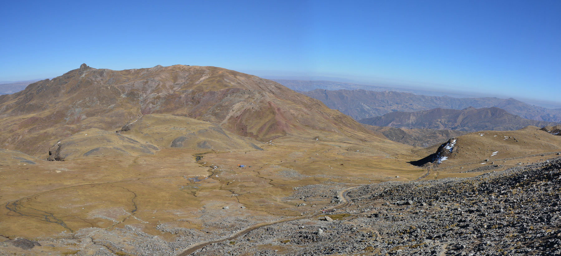
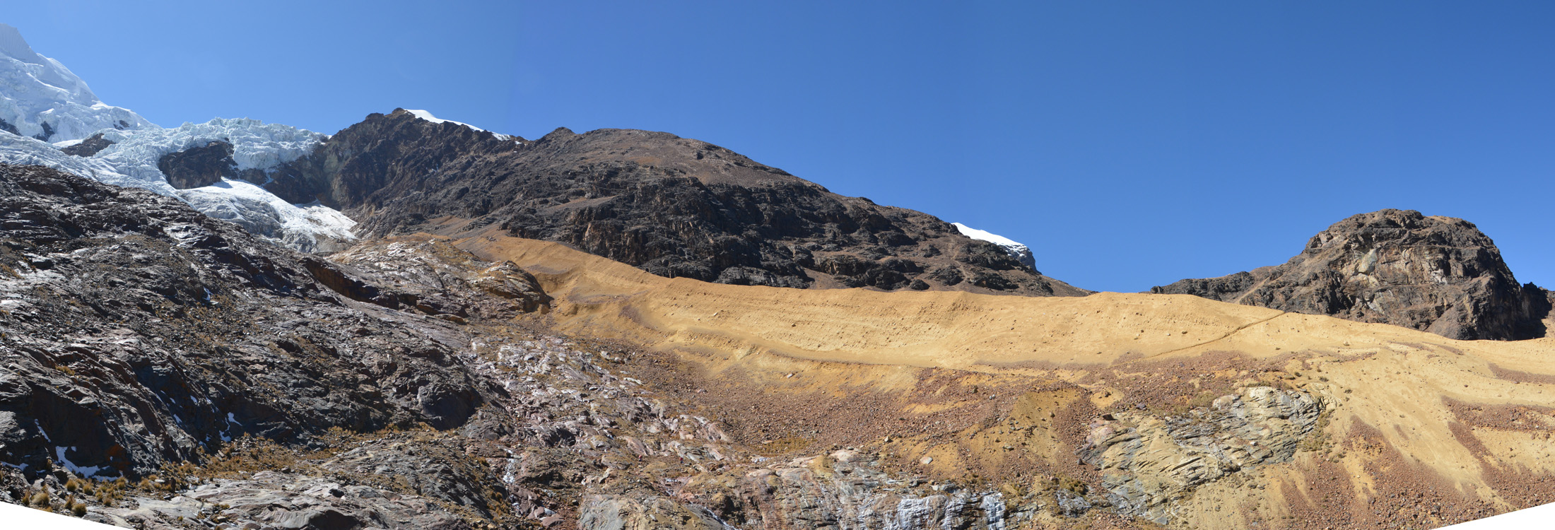
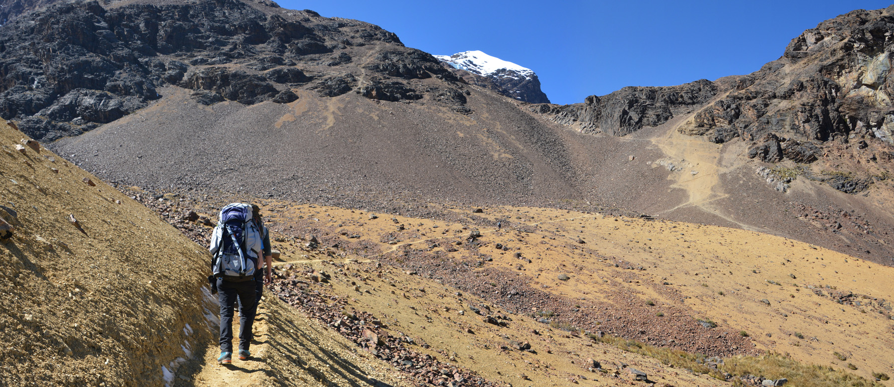
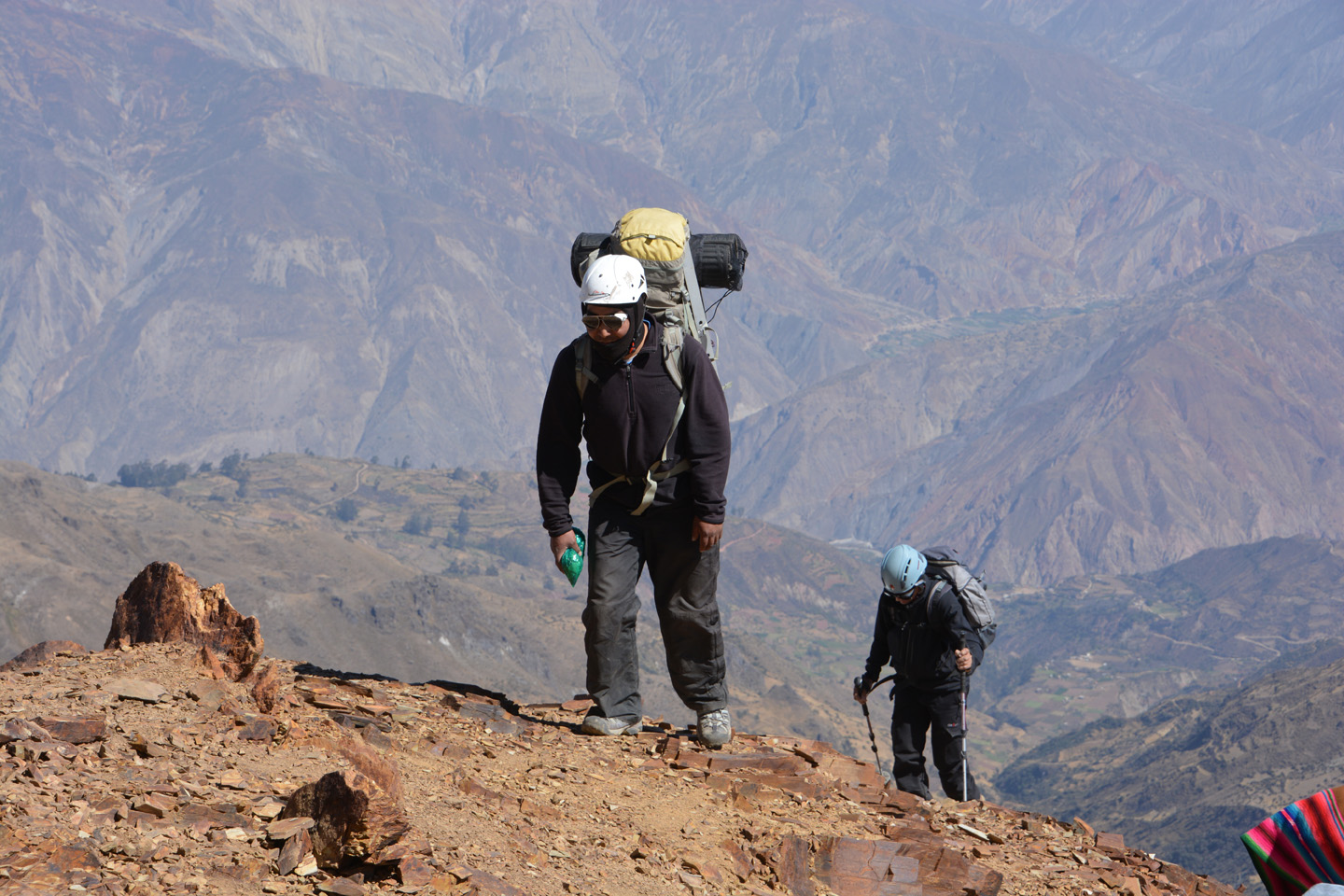
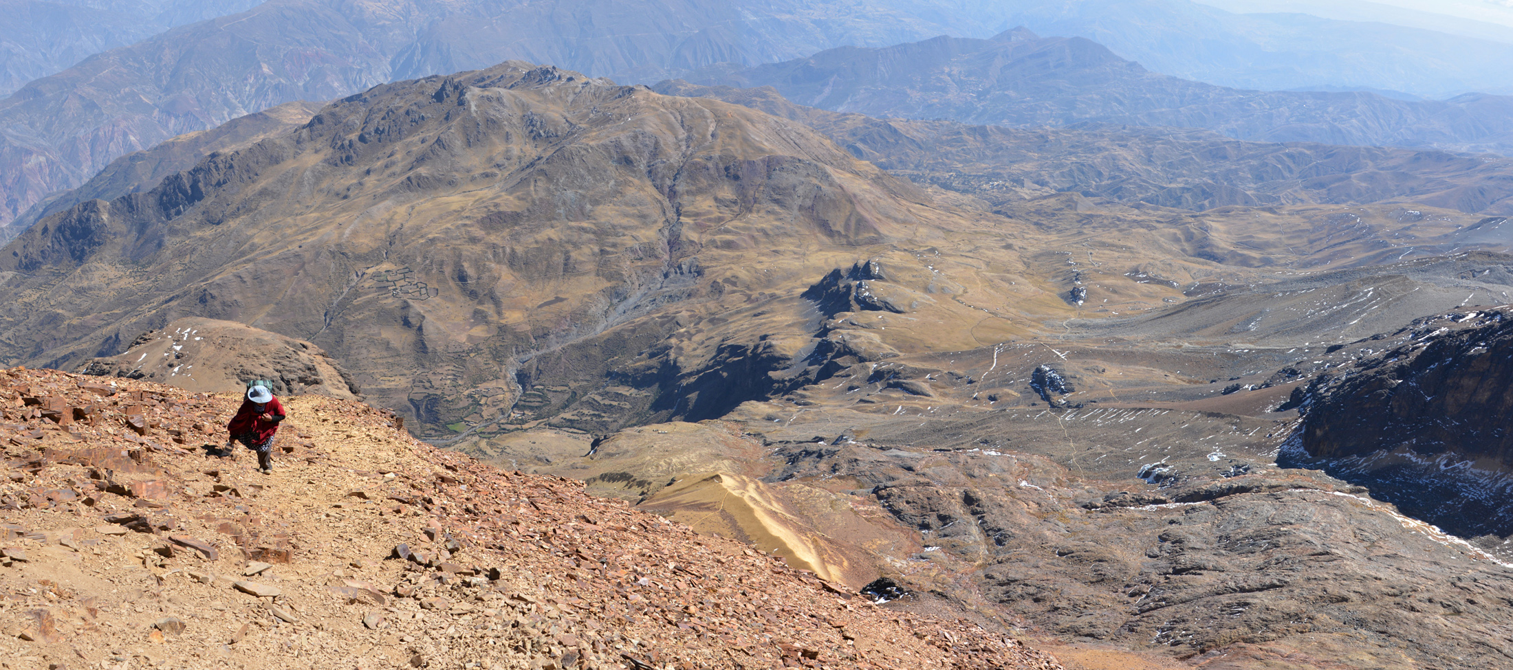
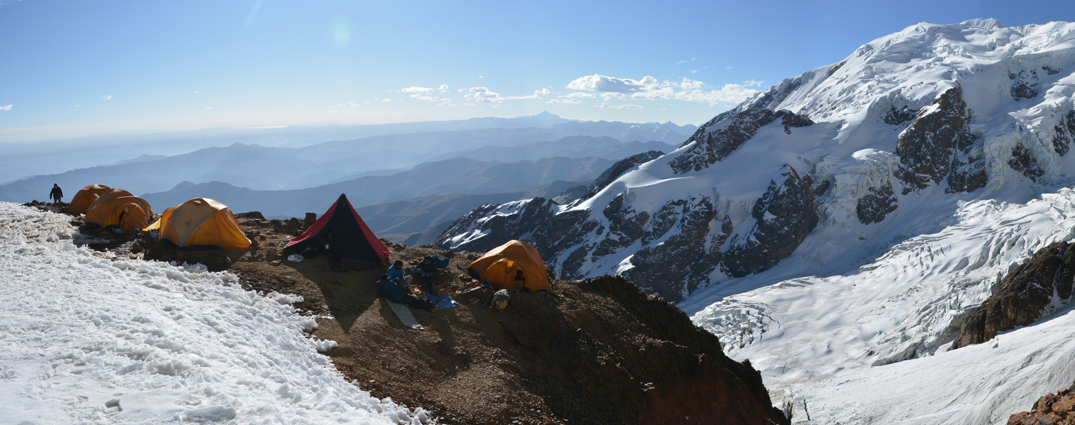
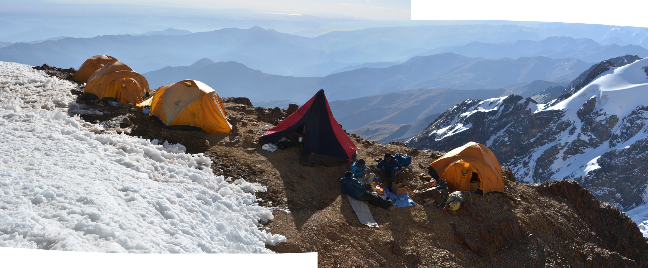
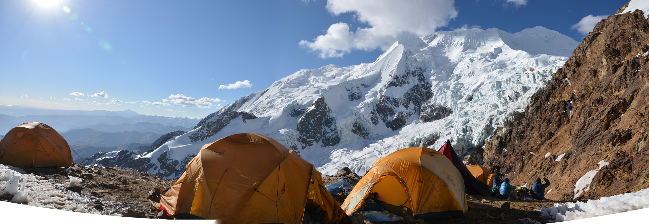
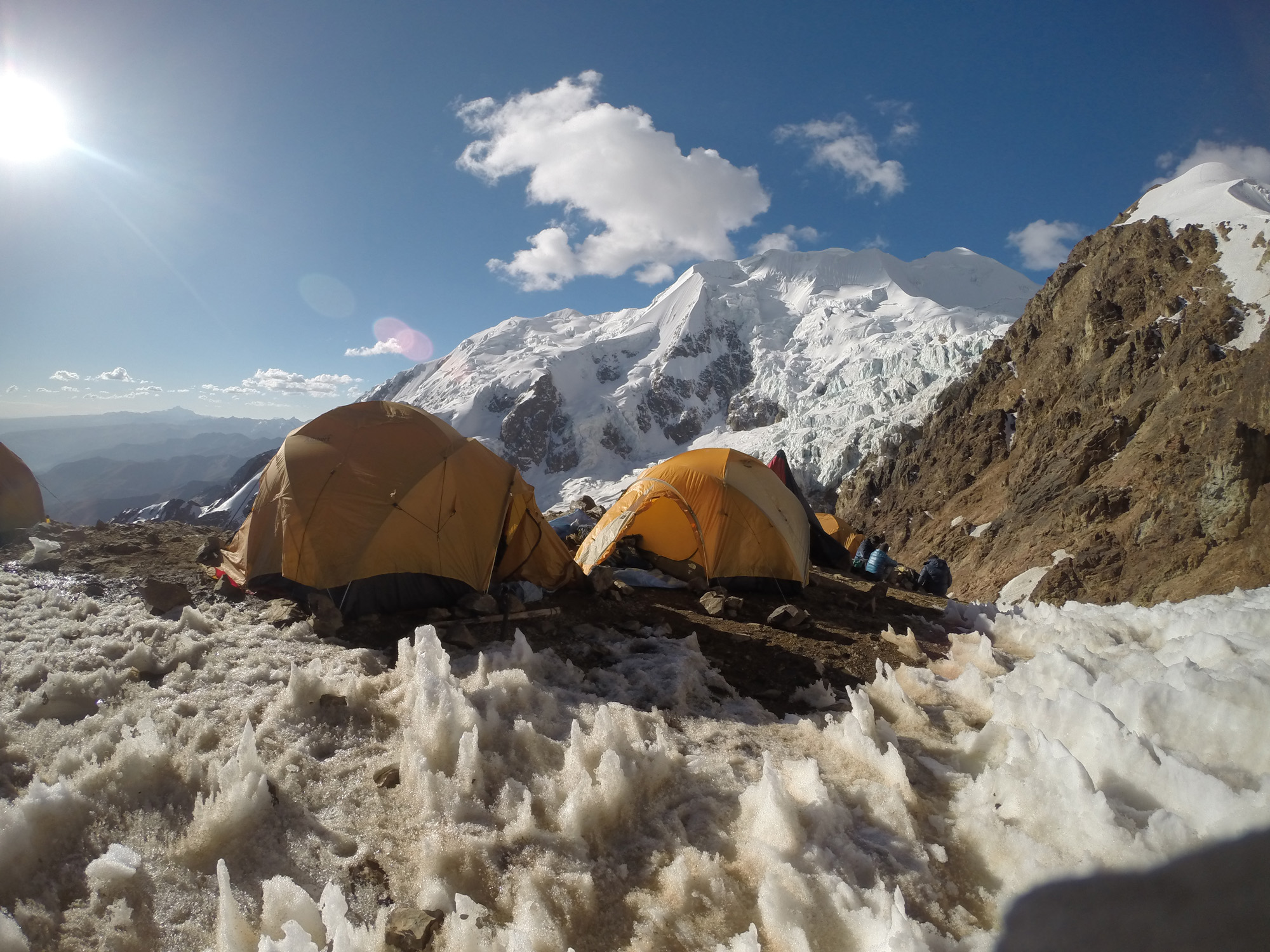
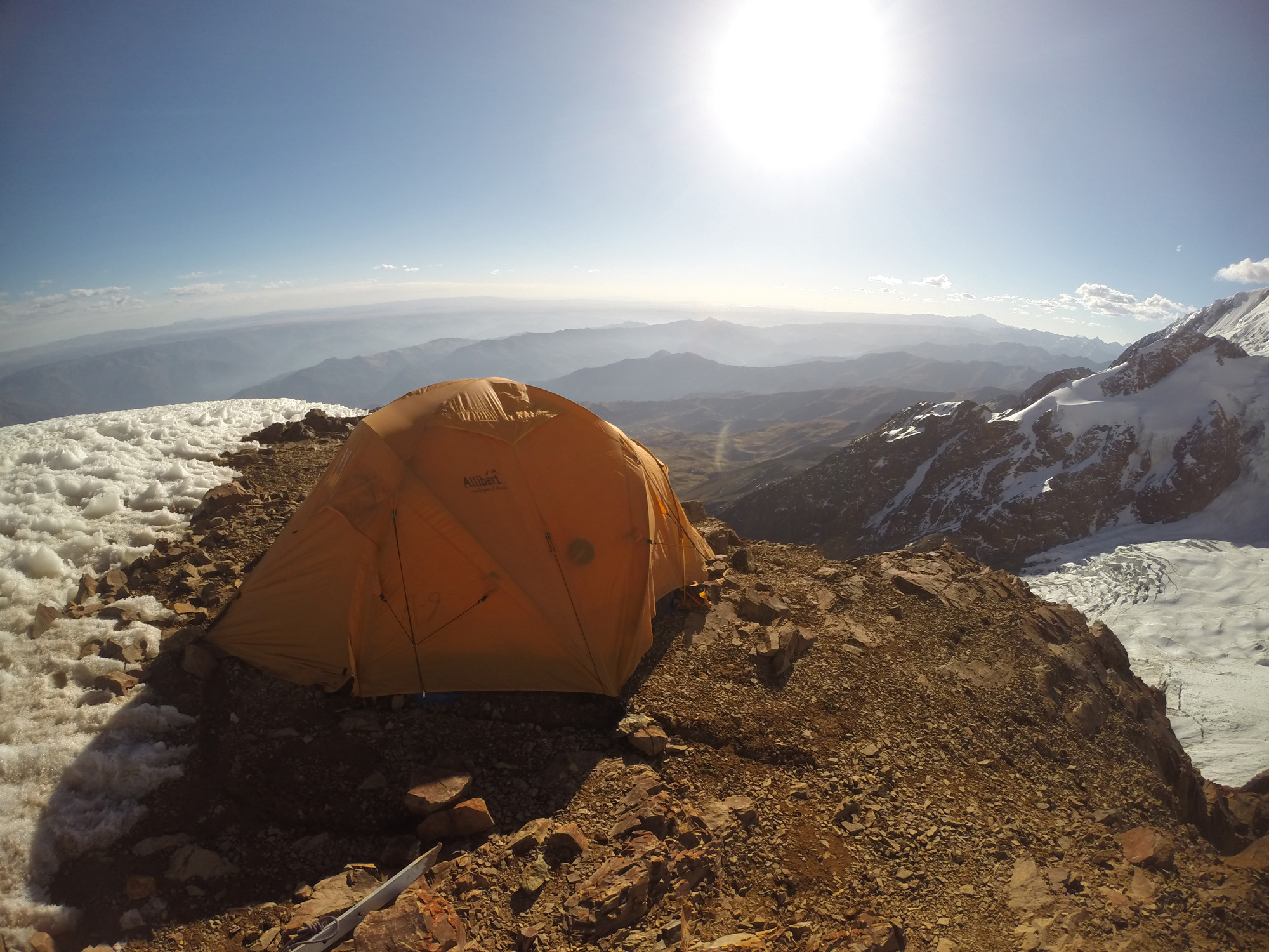
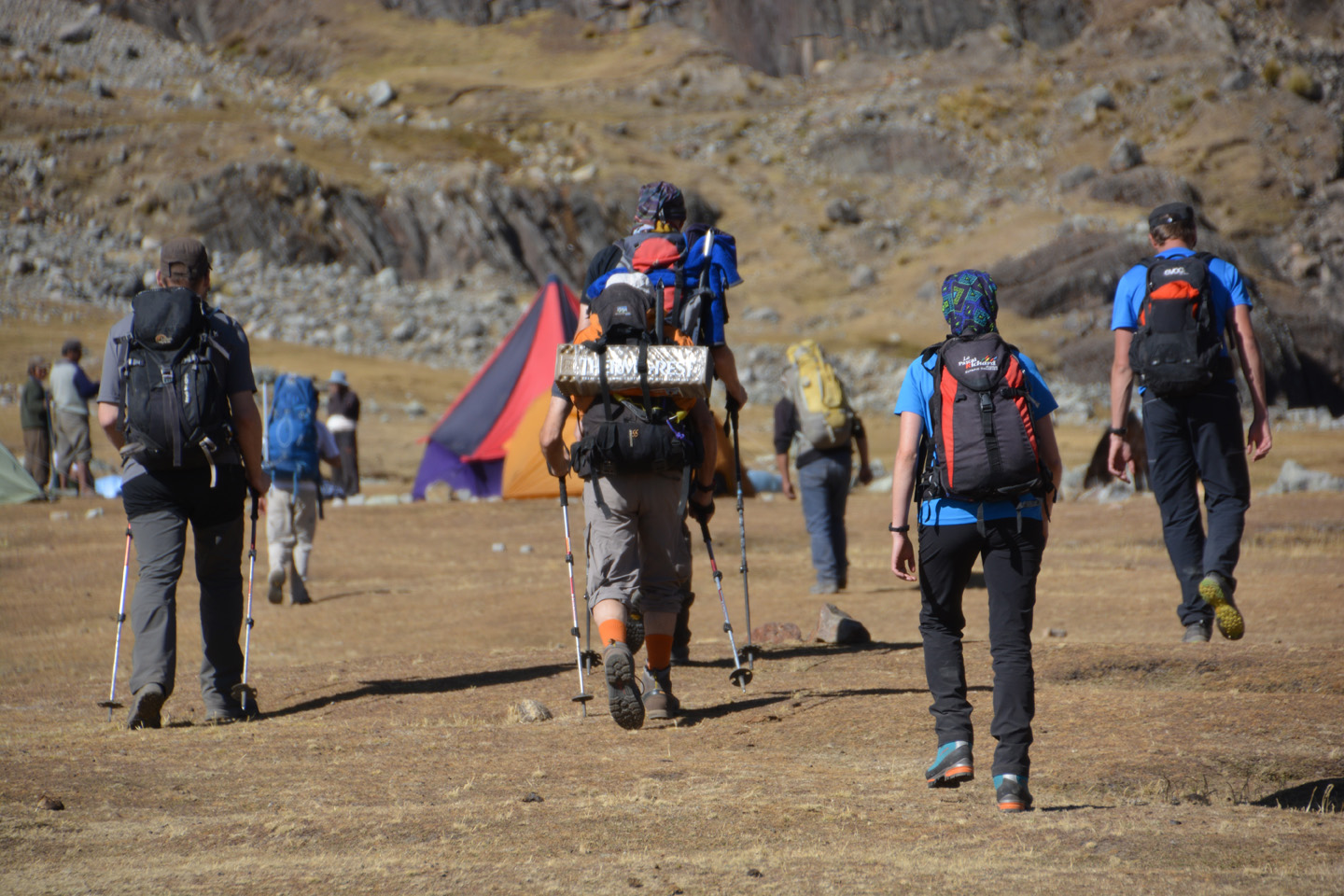
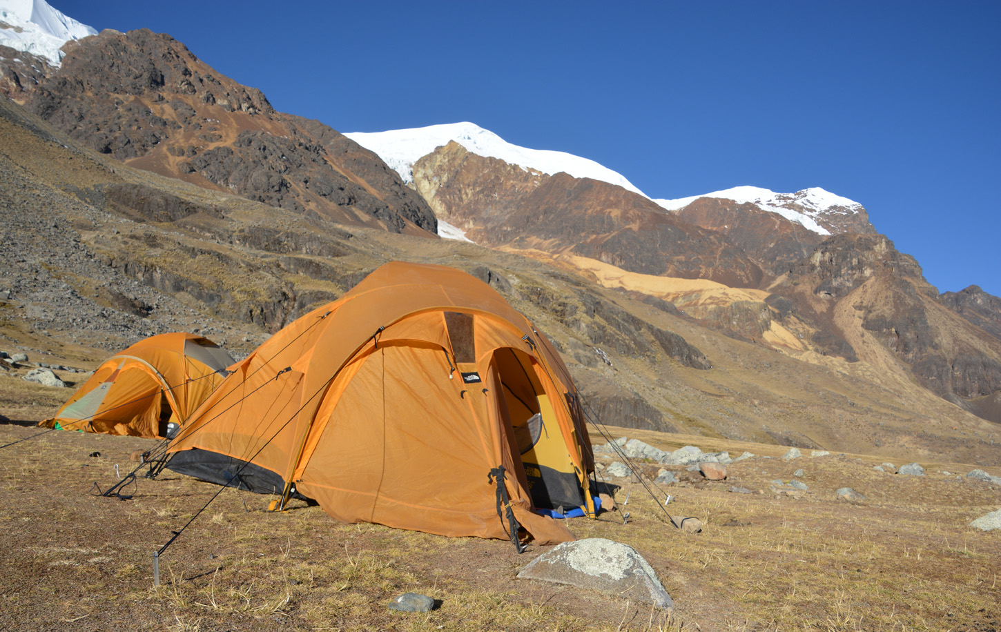
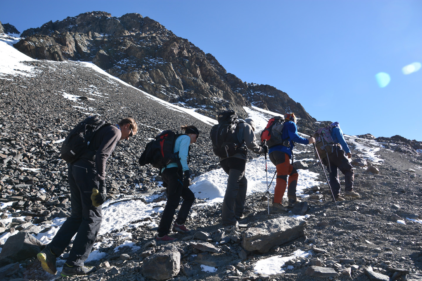
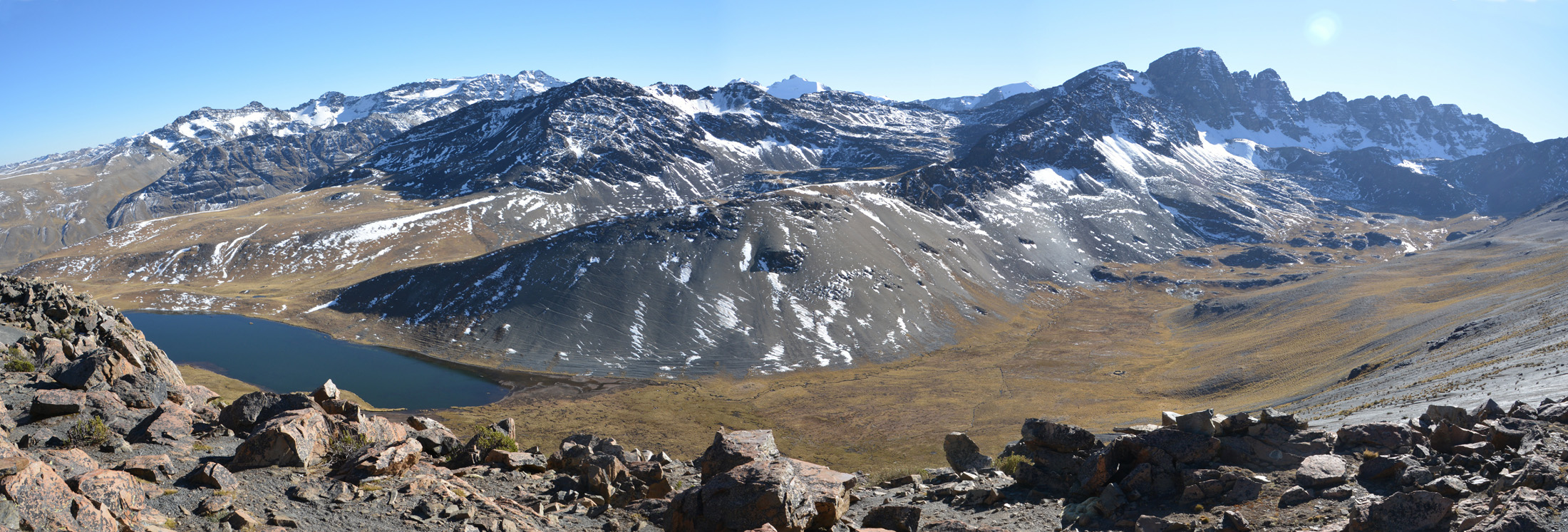
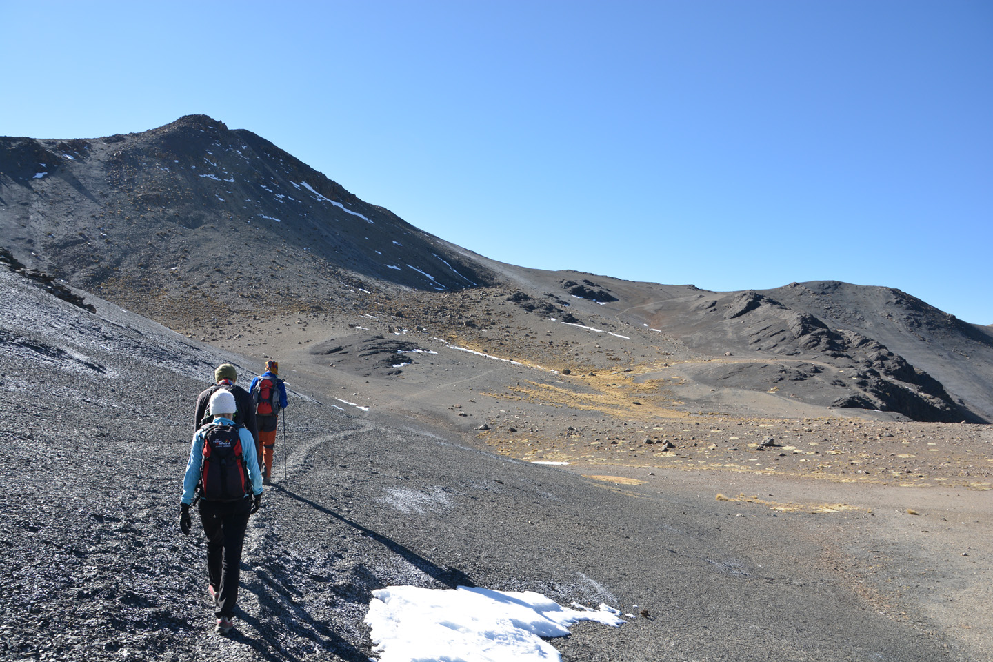
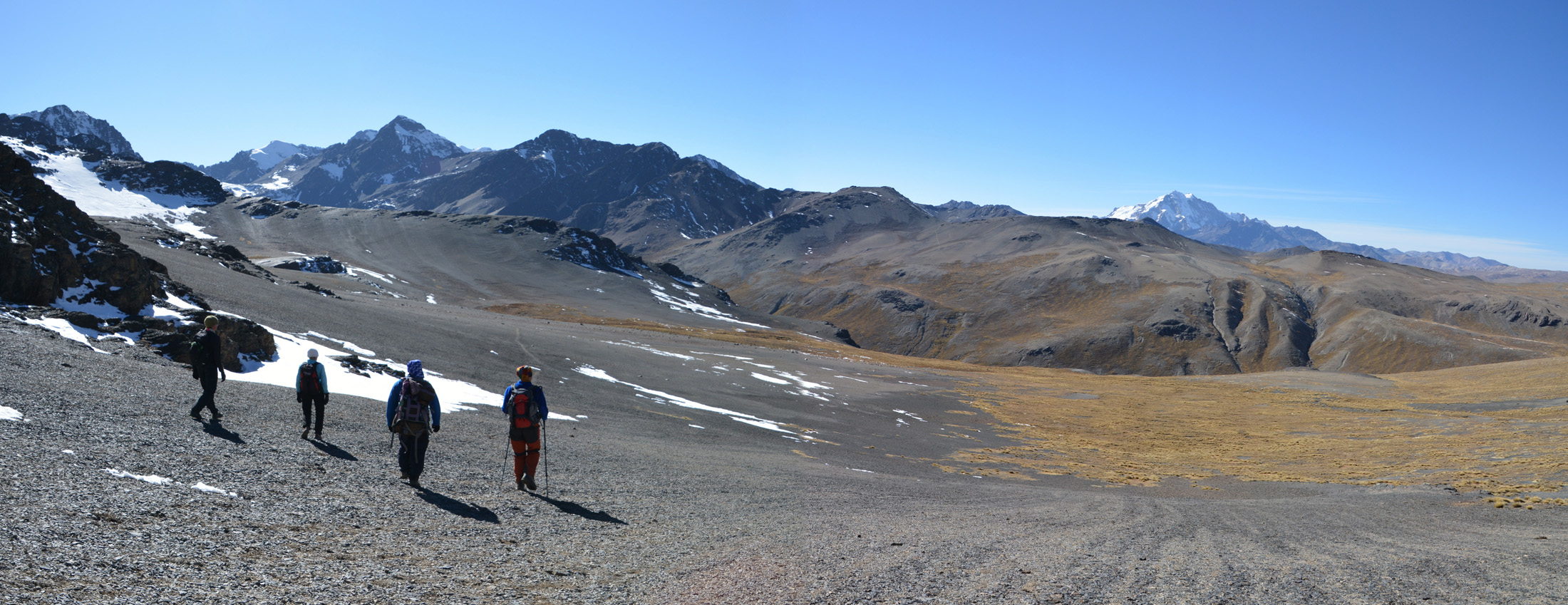
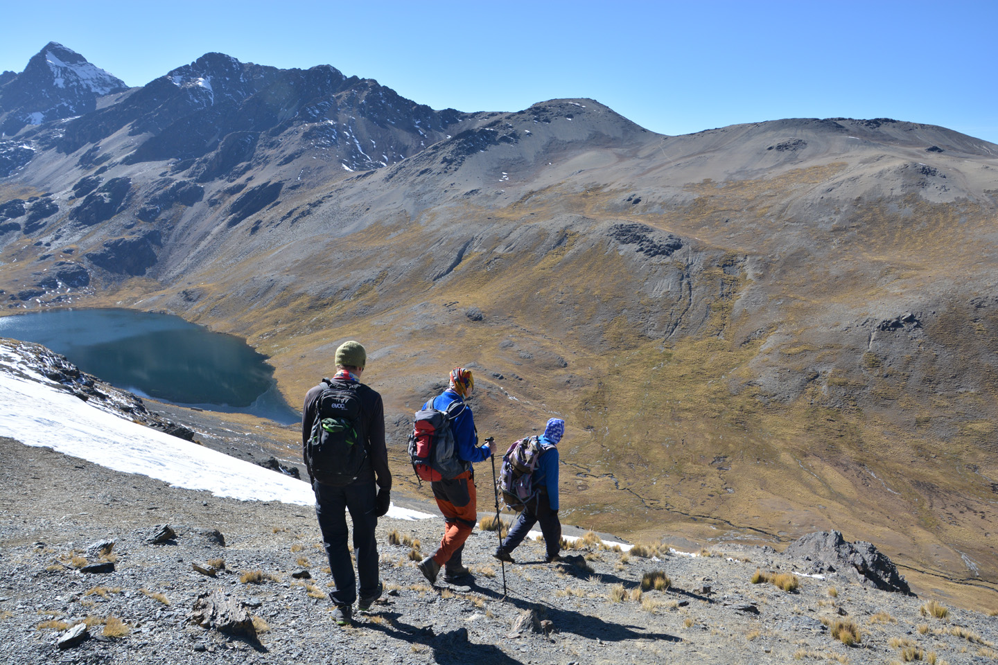
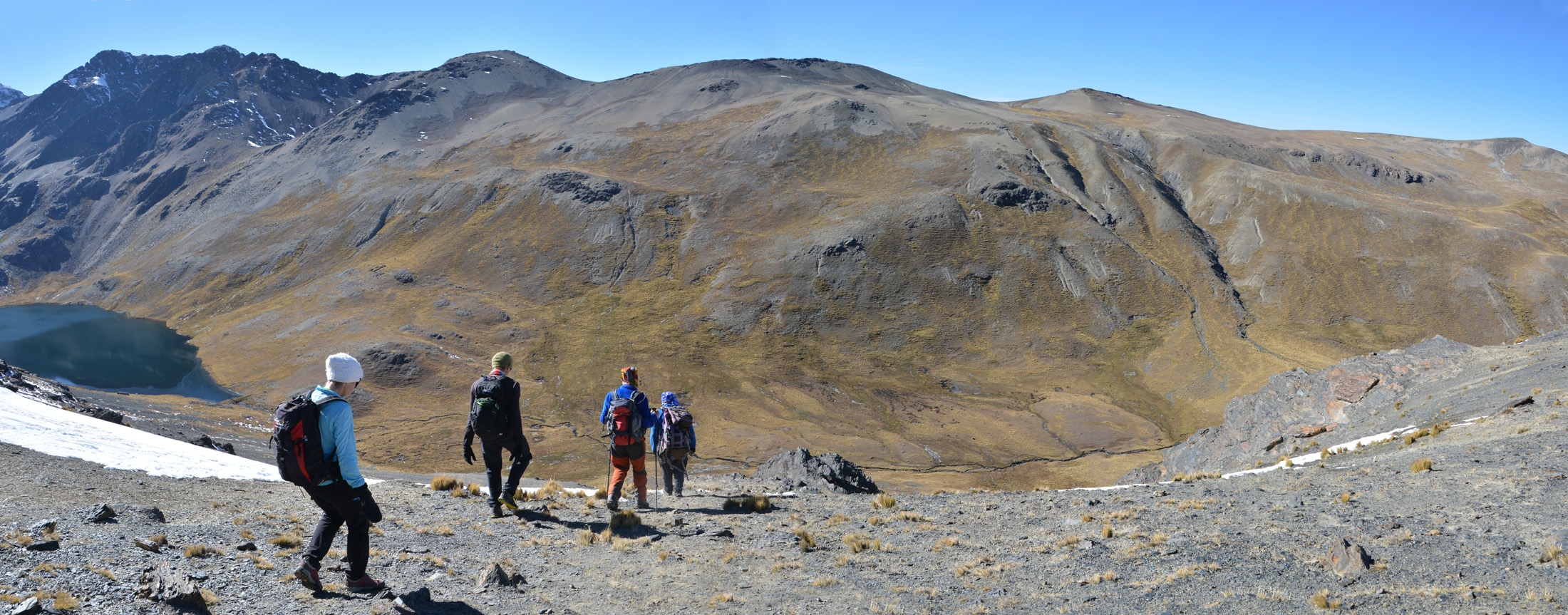
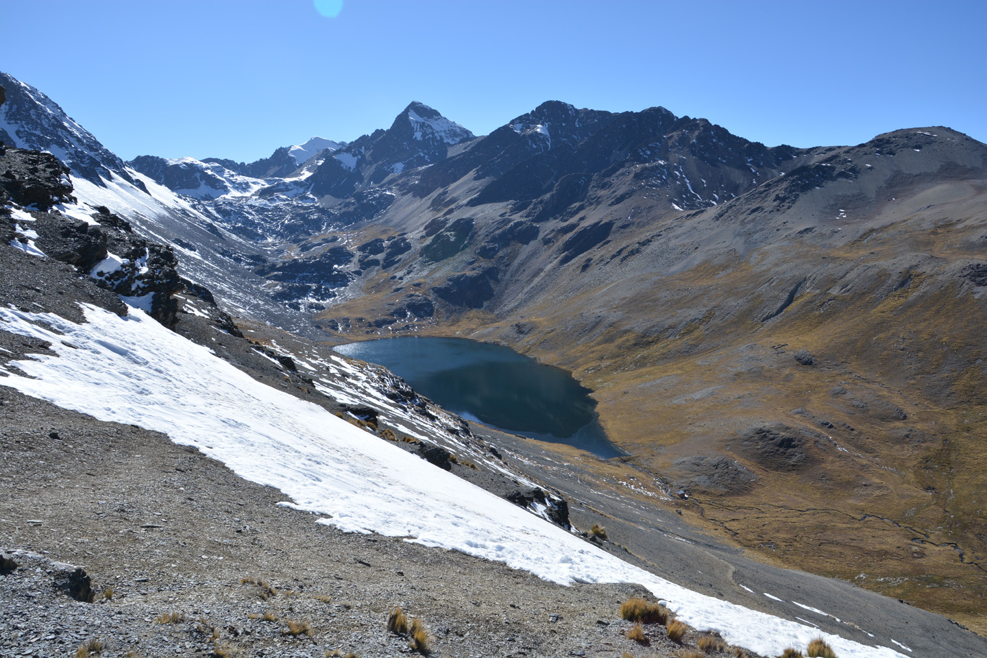
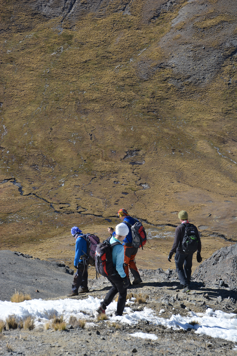
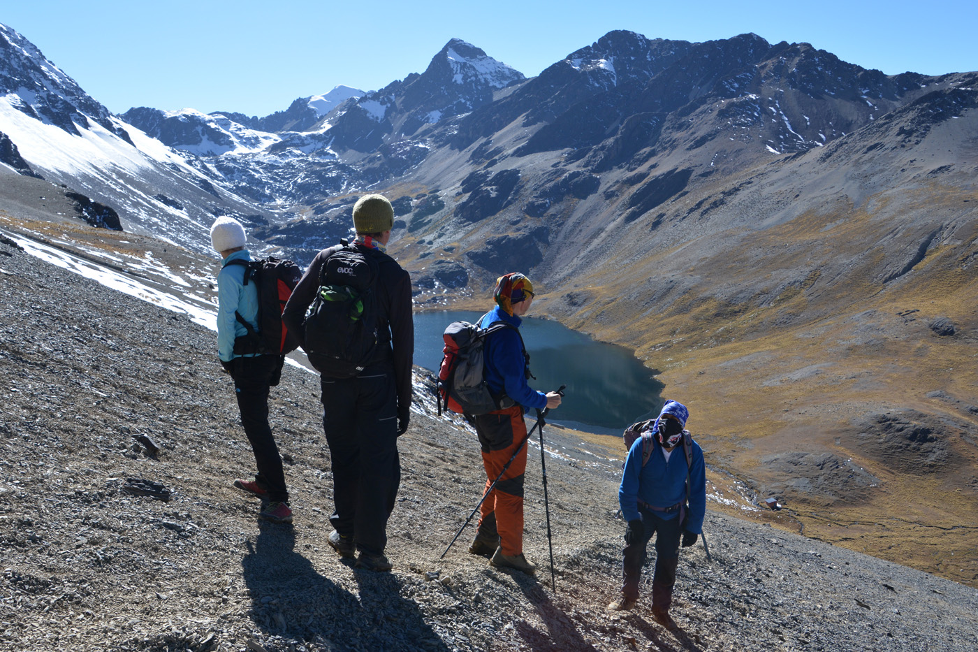
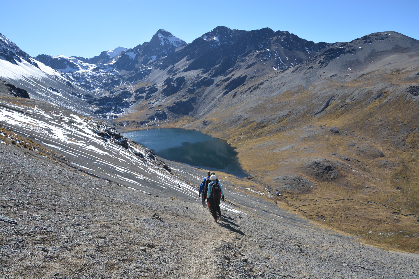
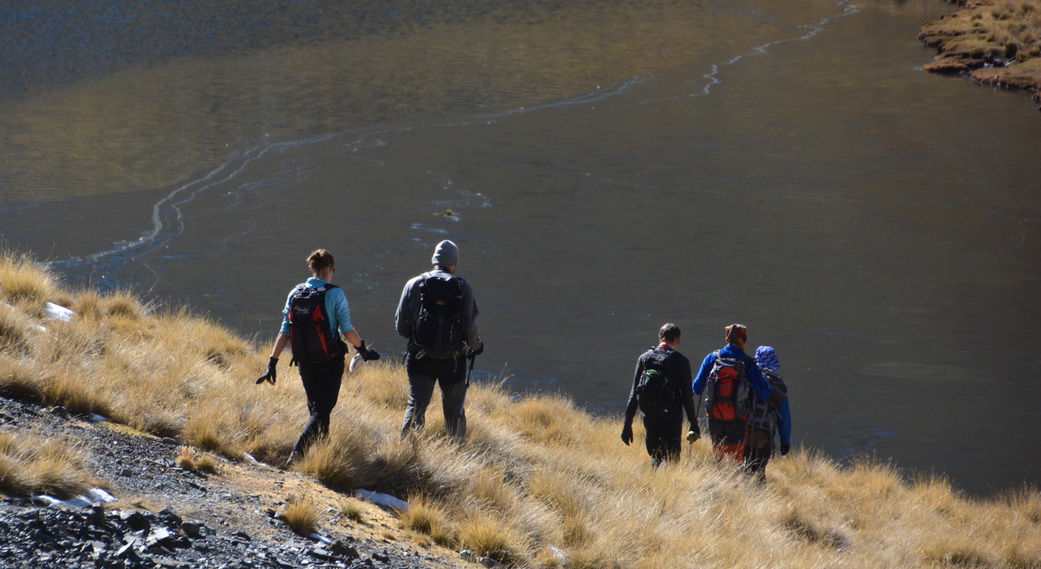
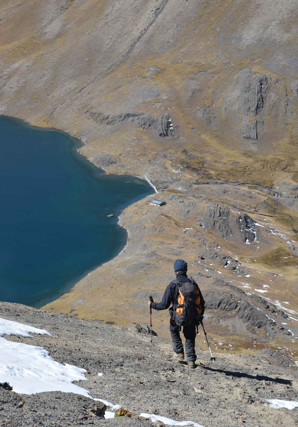
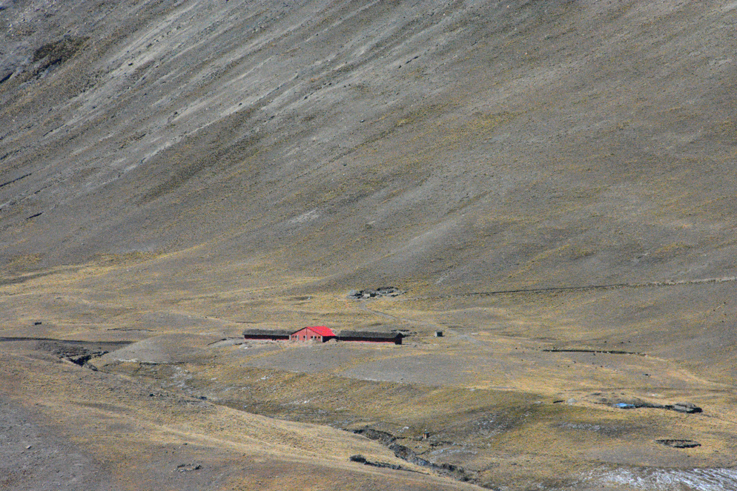
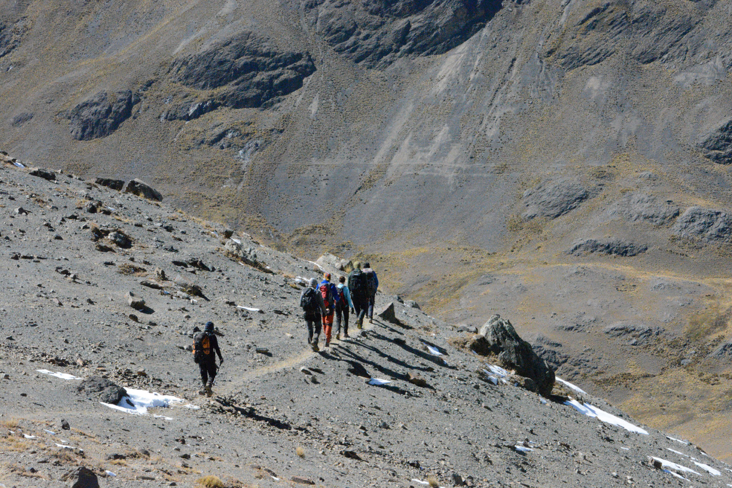
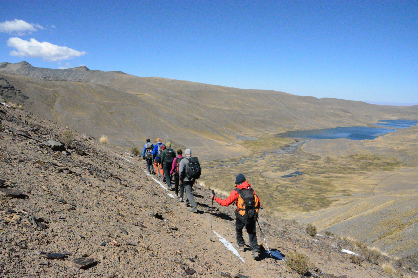
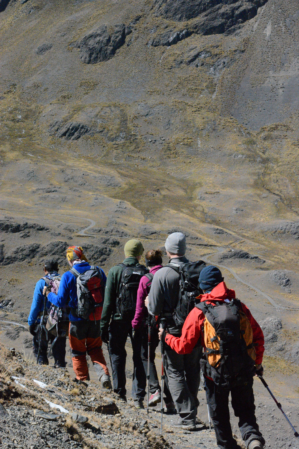
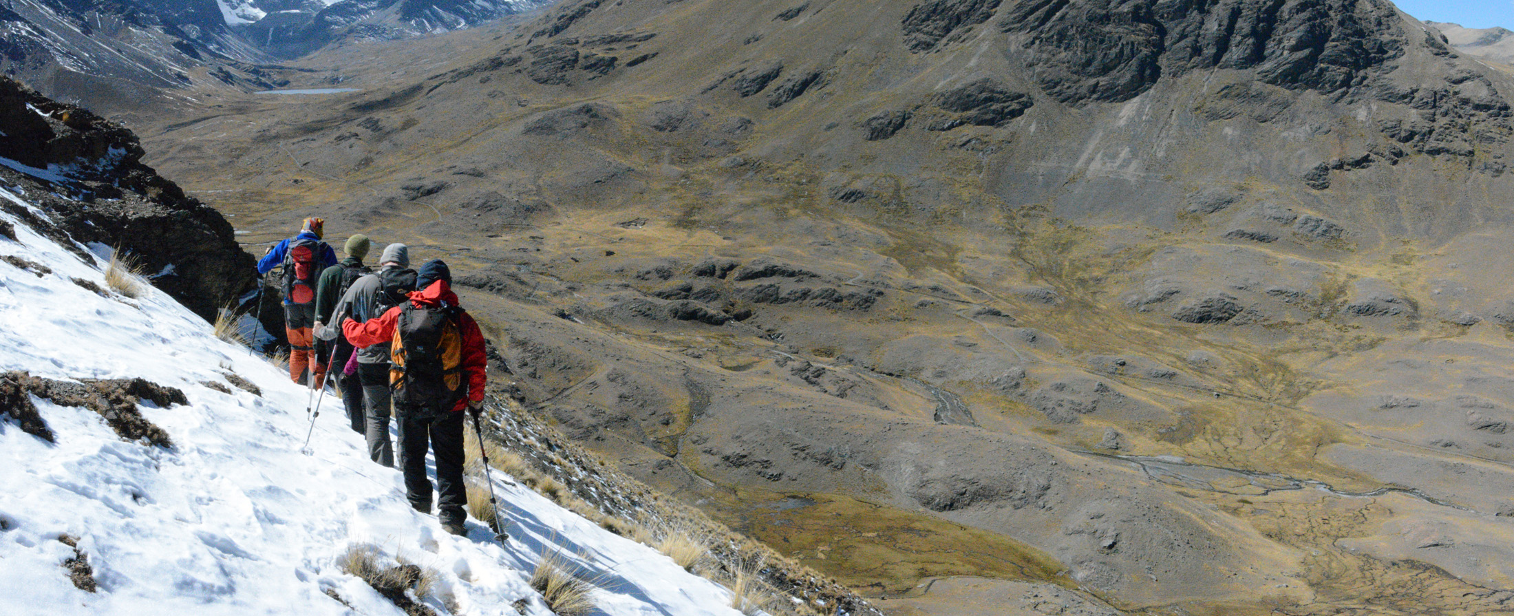
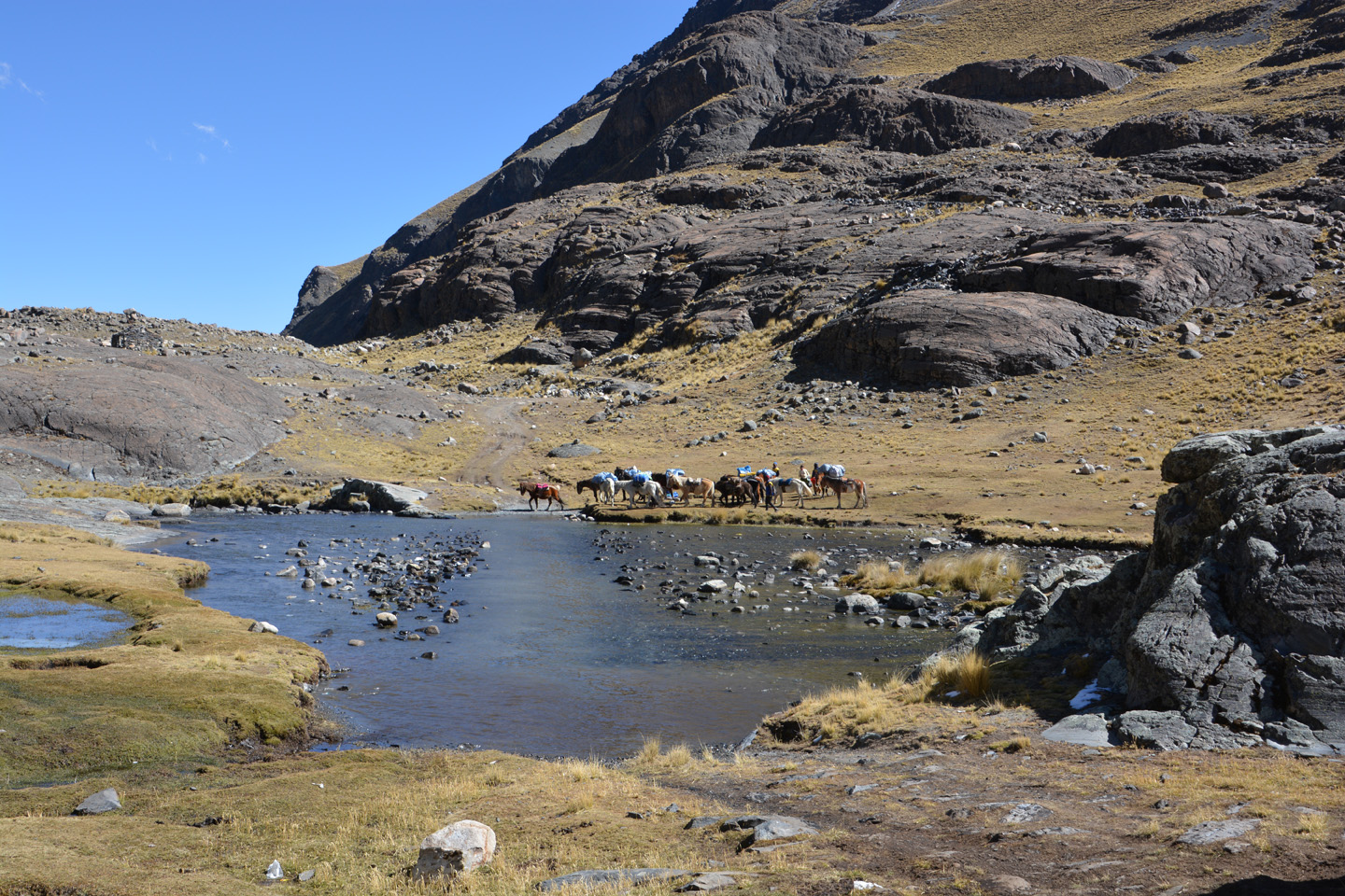
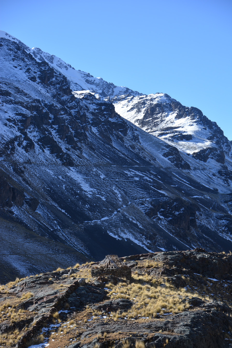
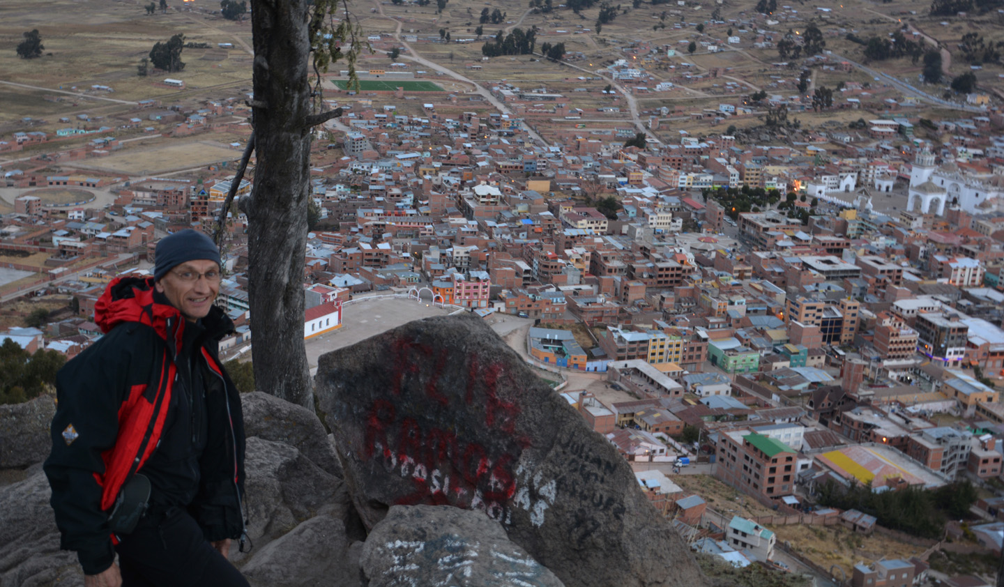
Sajama – Campo Alto – 5600m
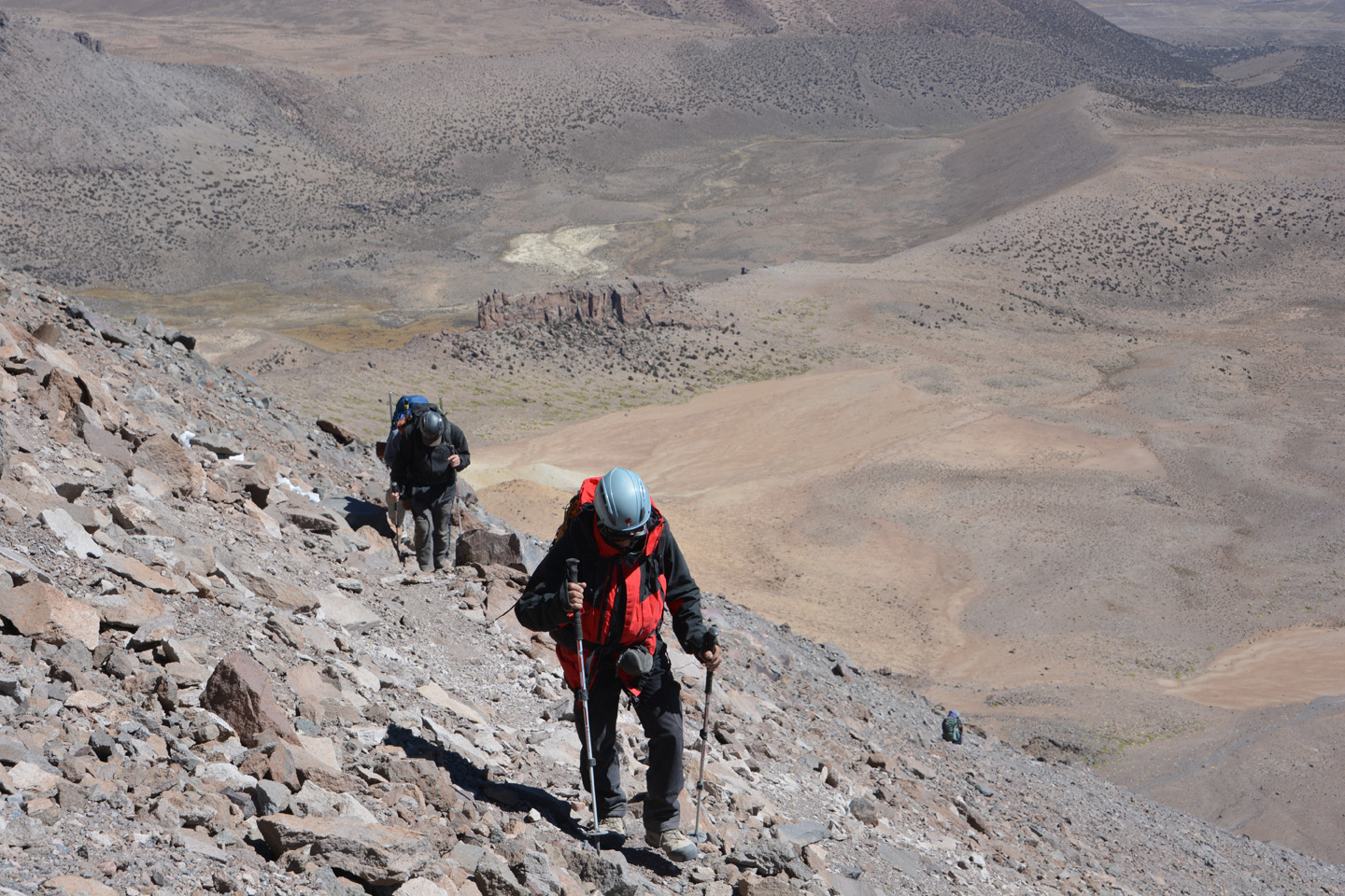
Du Camp de base situé au pied du Sajama (4750m), nous grimpons jusqu’au camp haut, situé à 5600m. Cette grimpette de 850m nous prendra 4h30, une ascension marquée par la poussière et l’instabilité du sentier. La vue au camp vaut la peine, même si nous pensons surtout au fait que nous devons bientôt attaquer le sommet, encore 950m au dessus de mous.


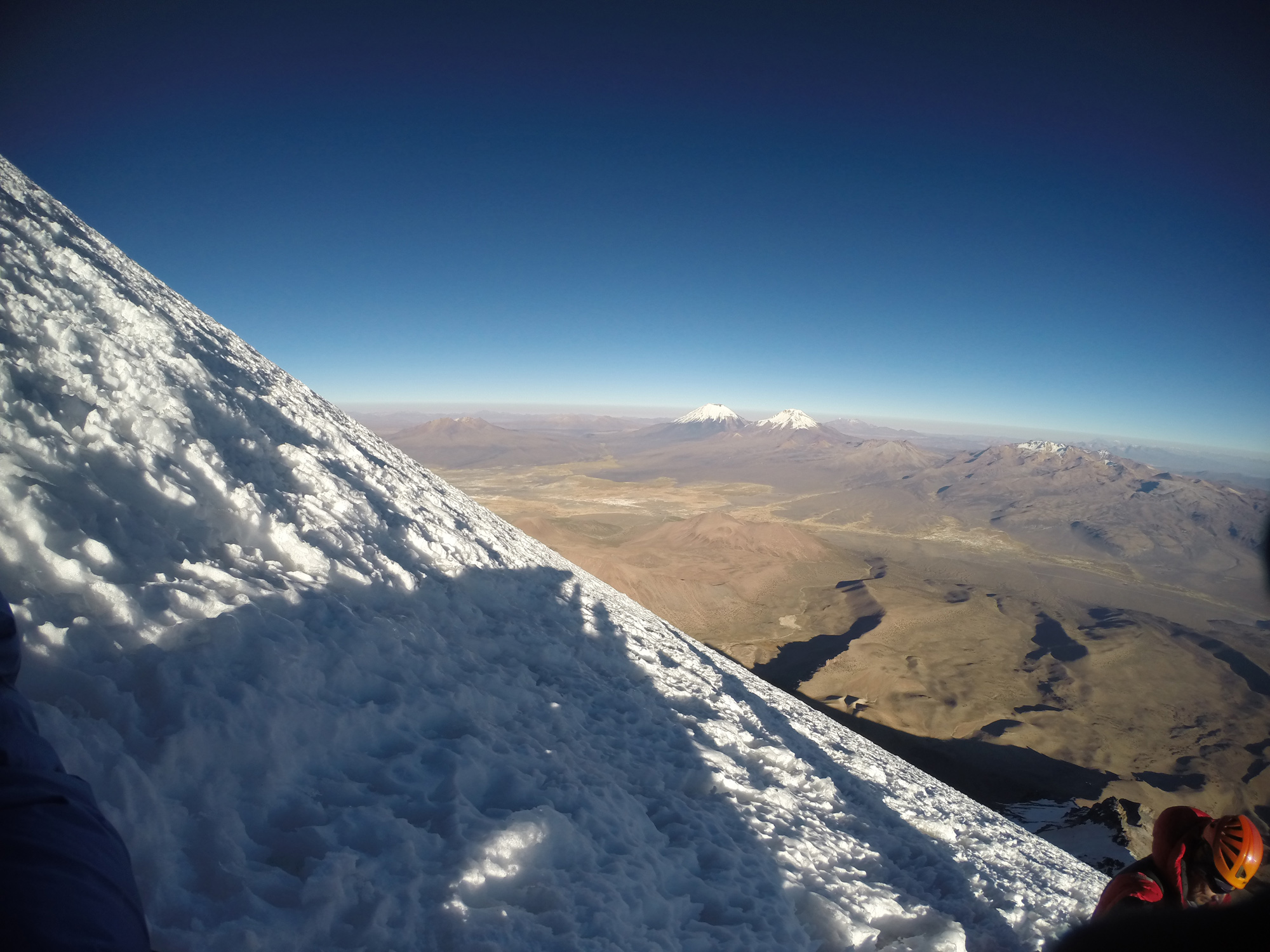
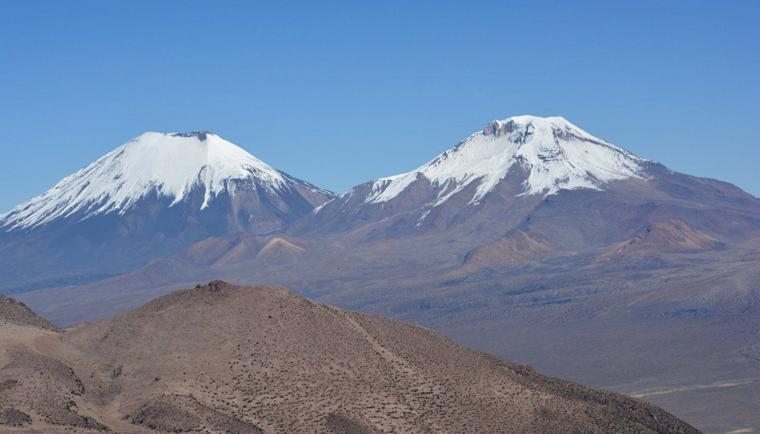
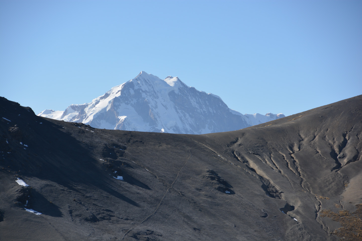
 et Pomerape (6282m) sont très photogéniques.")


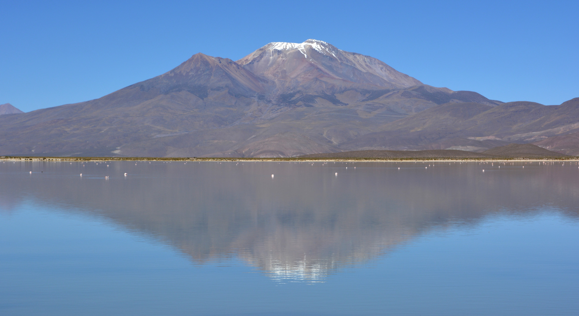
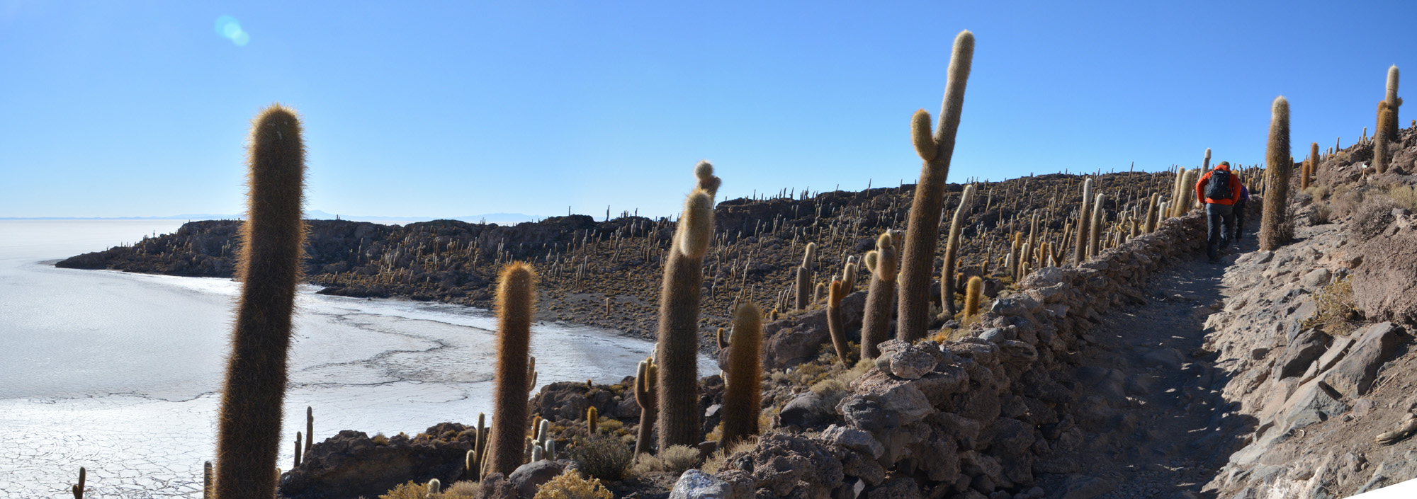
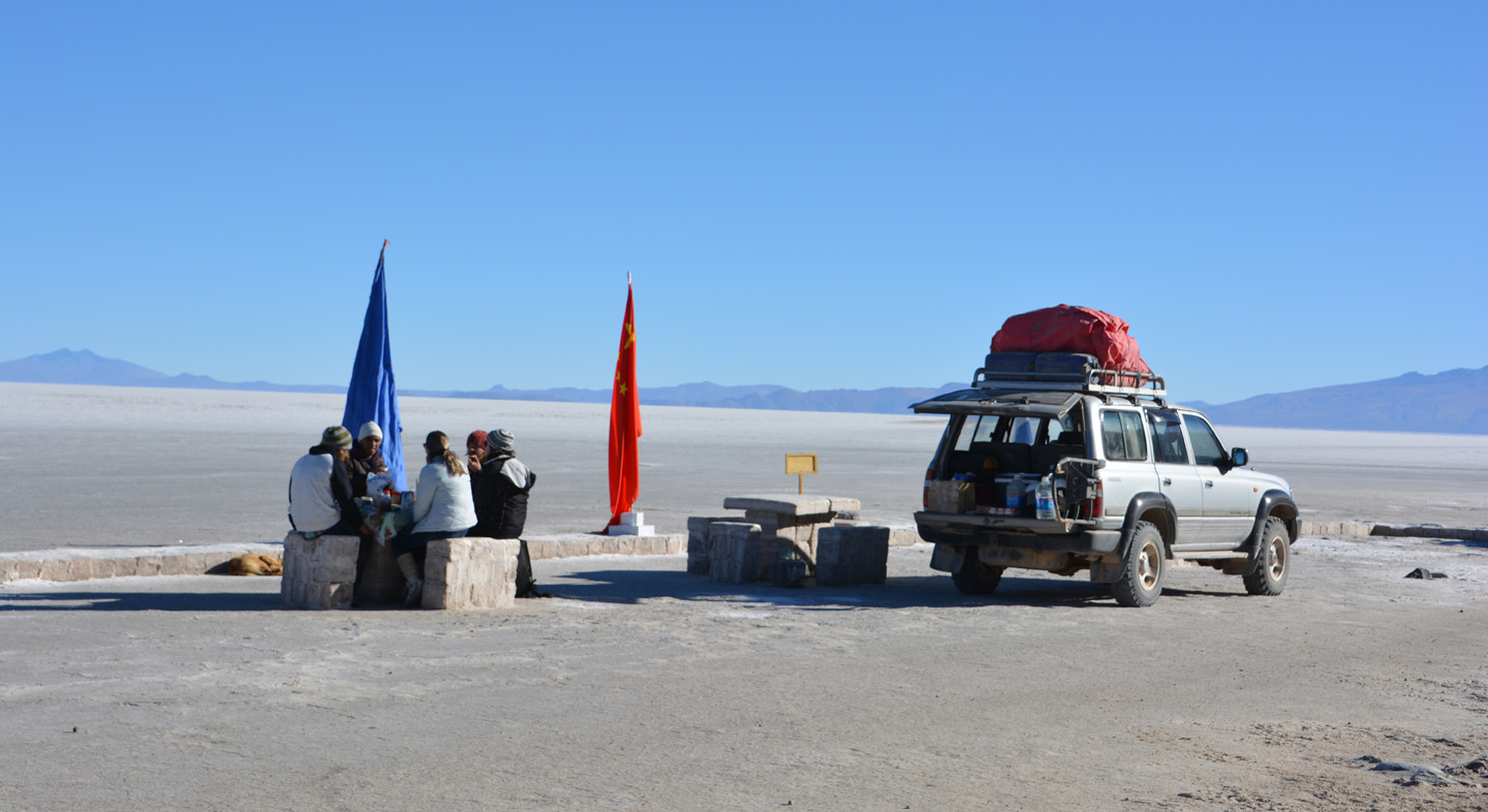
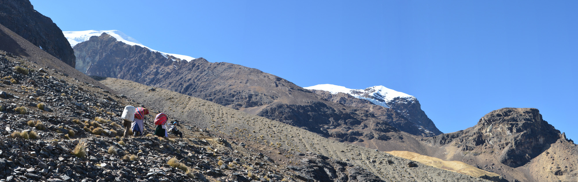
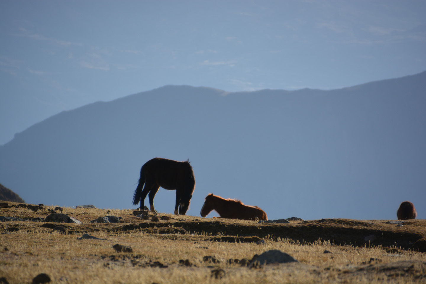
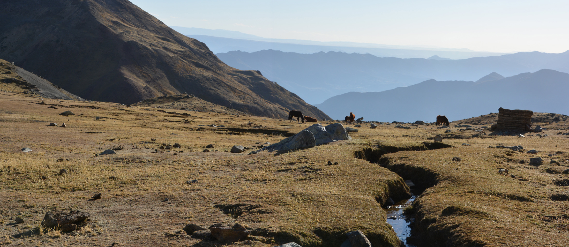
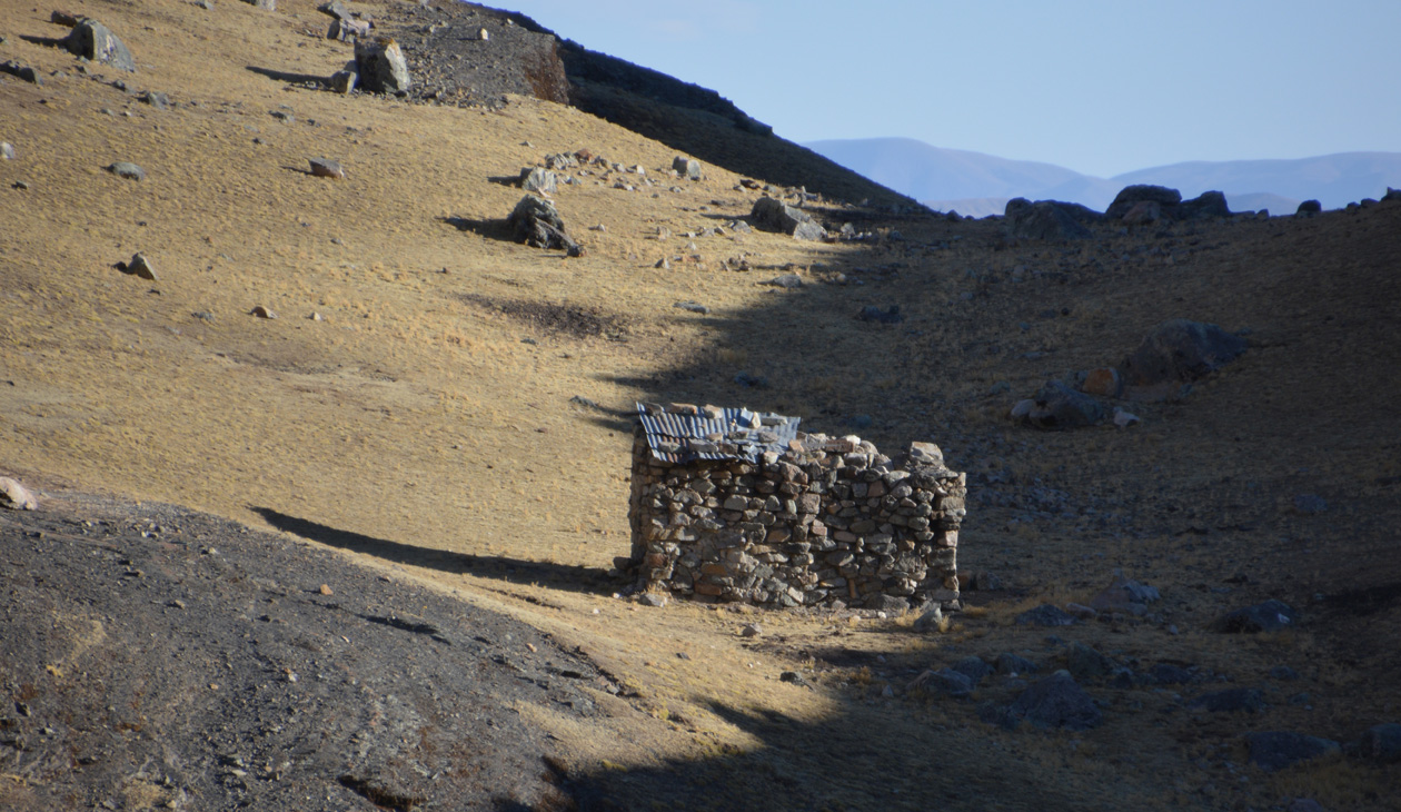
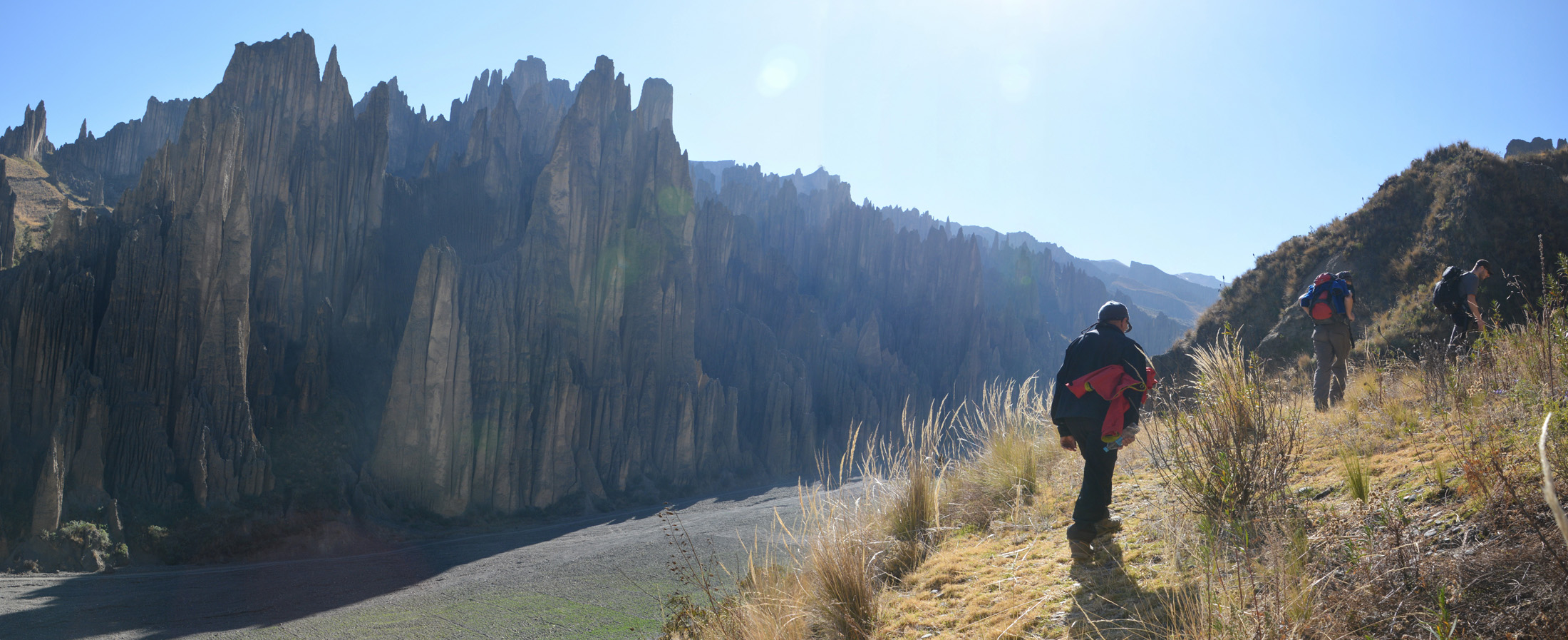
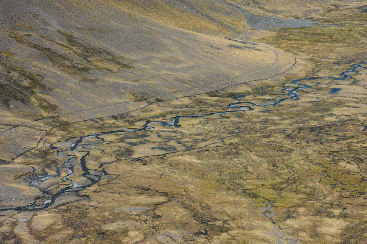
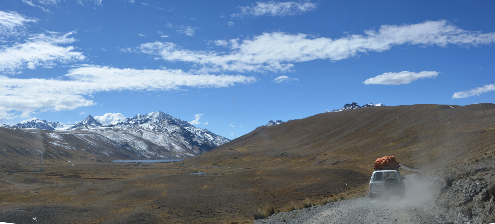
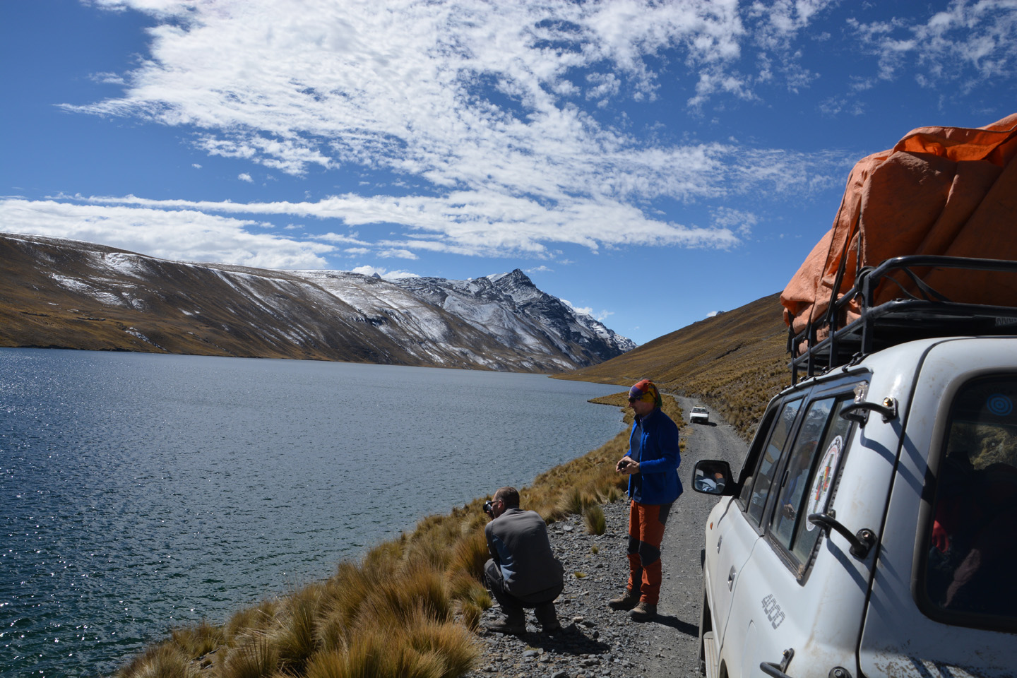
Salar de Coïpasa – Parc du Sajama
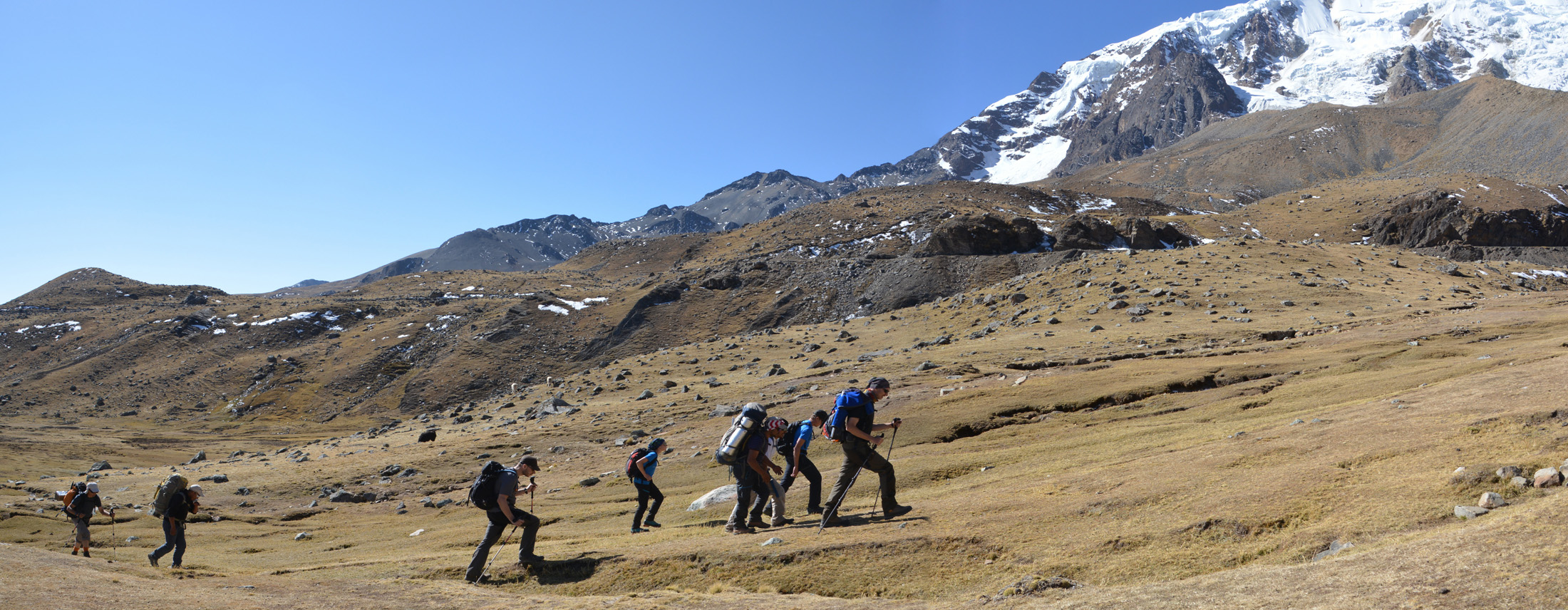
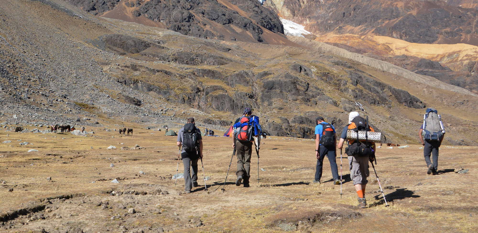
Au retour du Salar de Uyuni, nous traversons une partie du Salar de Coipasa, situé plus au nord. Puis, c’est une longue route sur de mauvaises pistes de 4×4. Nous arrivons enfin, le 28 juillet, à notre prochain objectif: le parc national du Sajama.


")


")
")
")


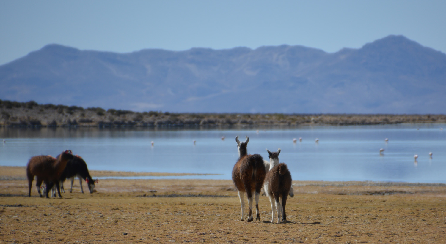


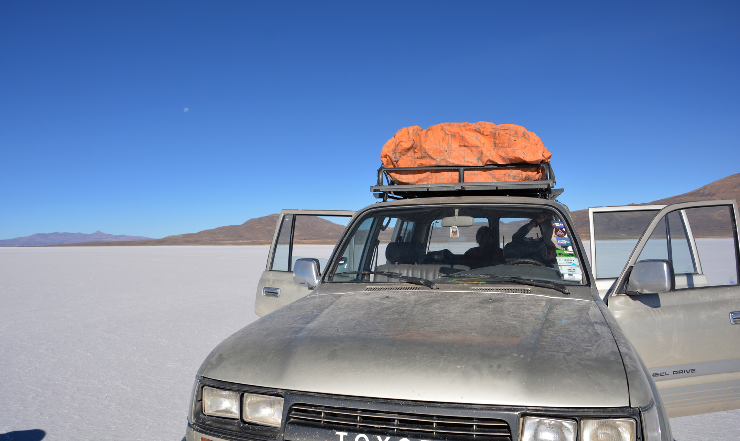
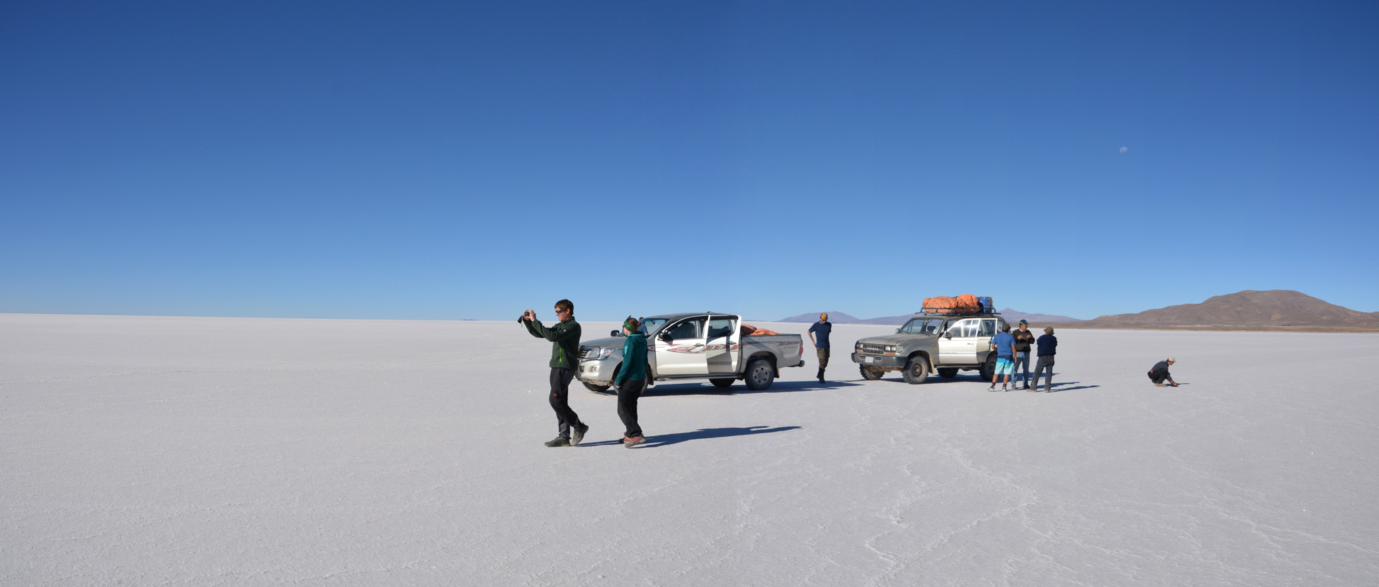
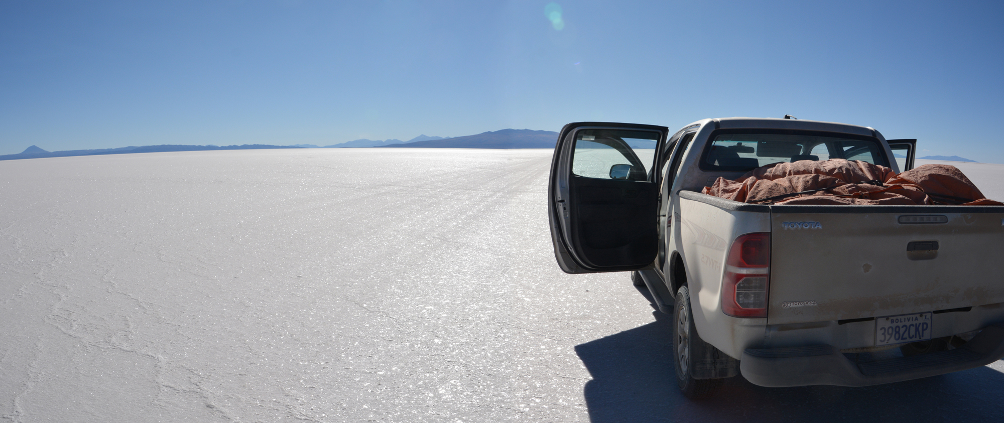
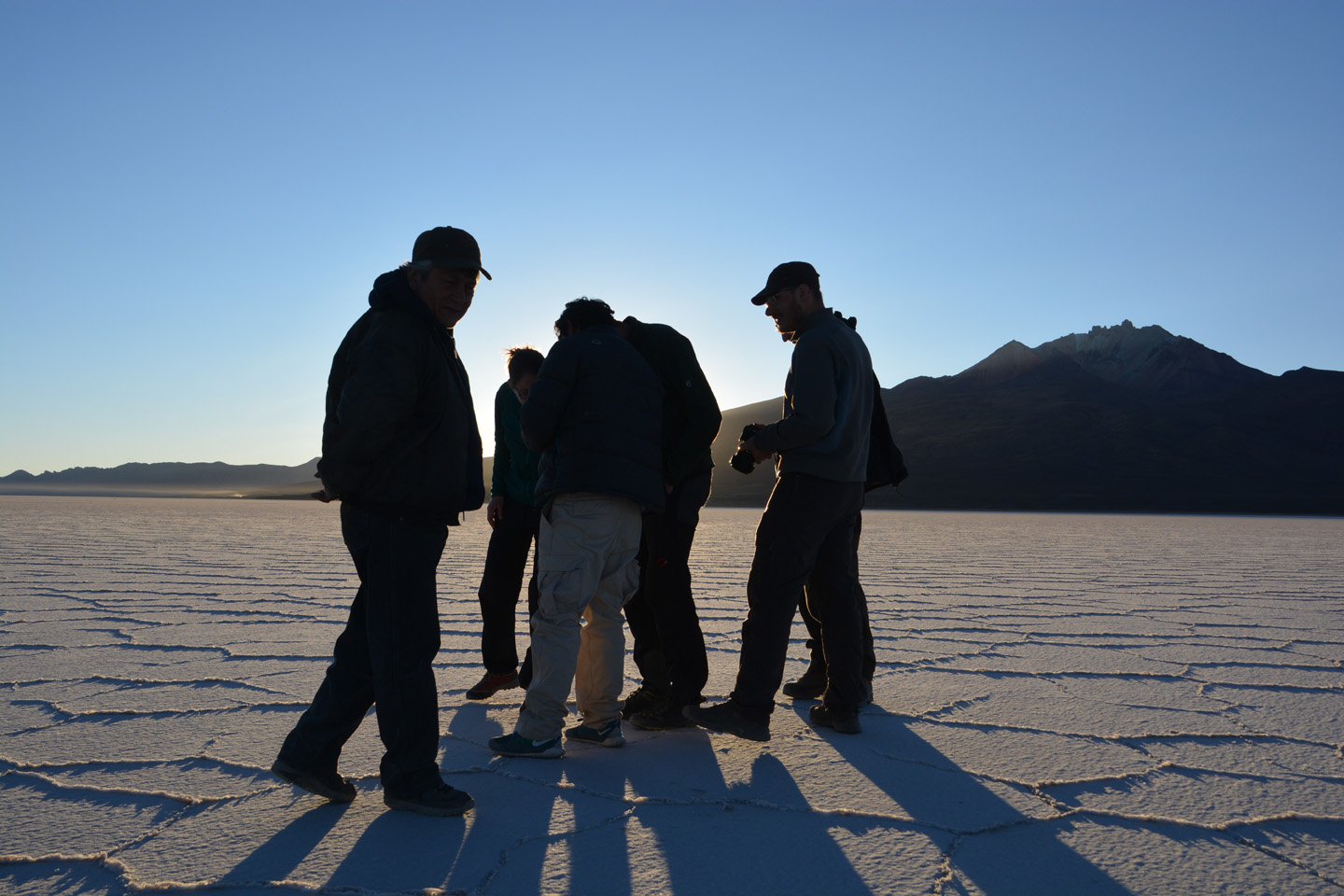
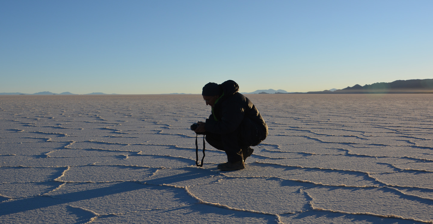
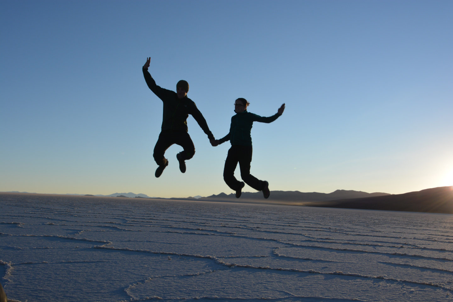
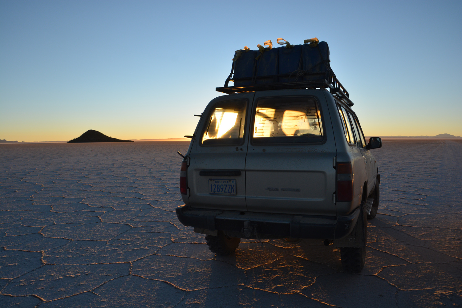
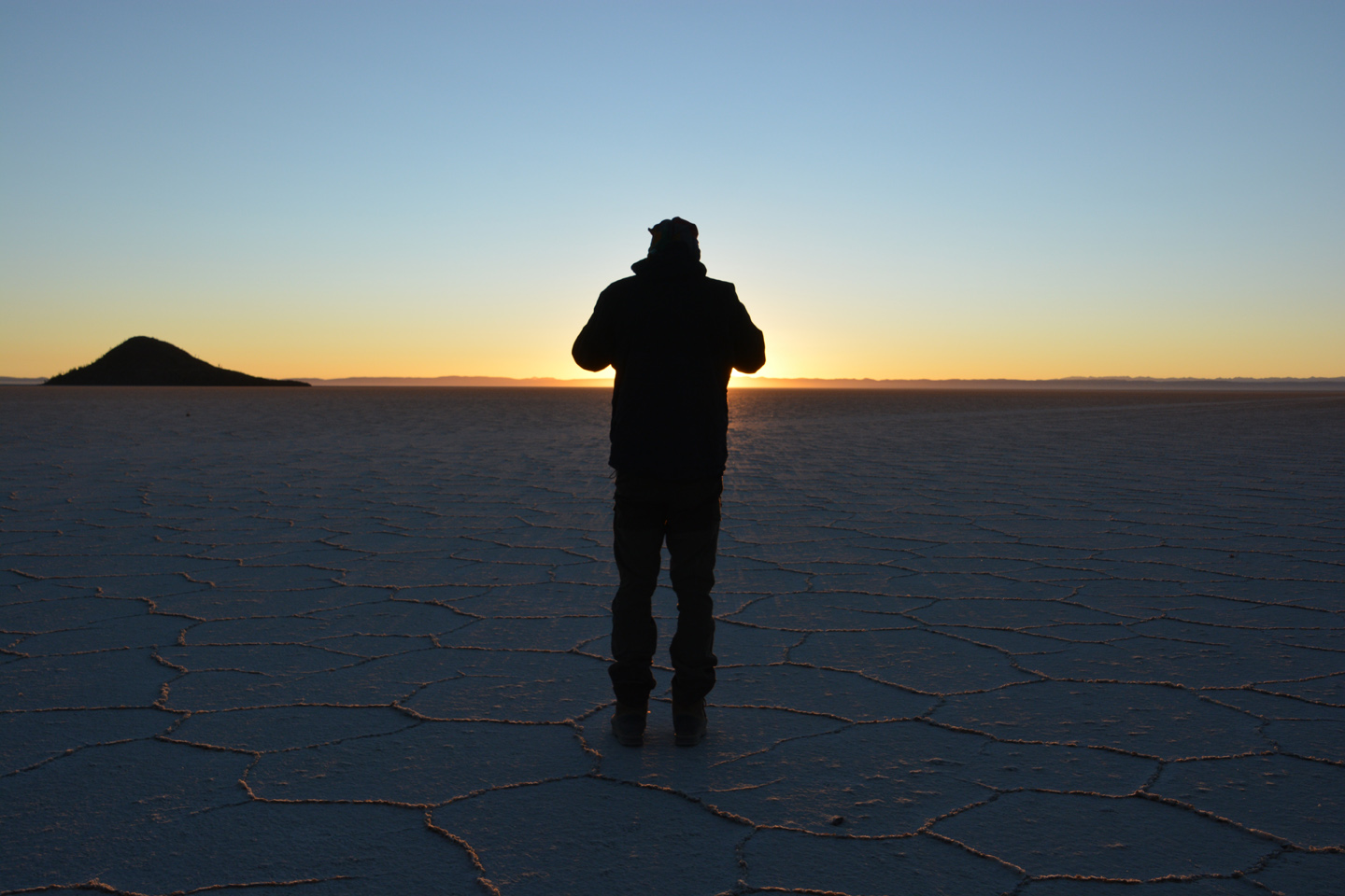
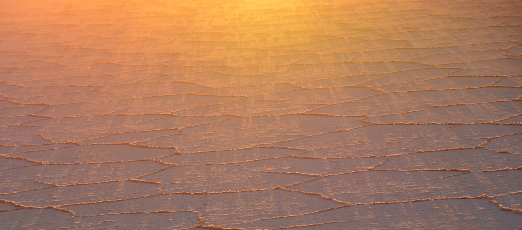
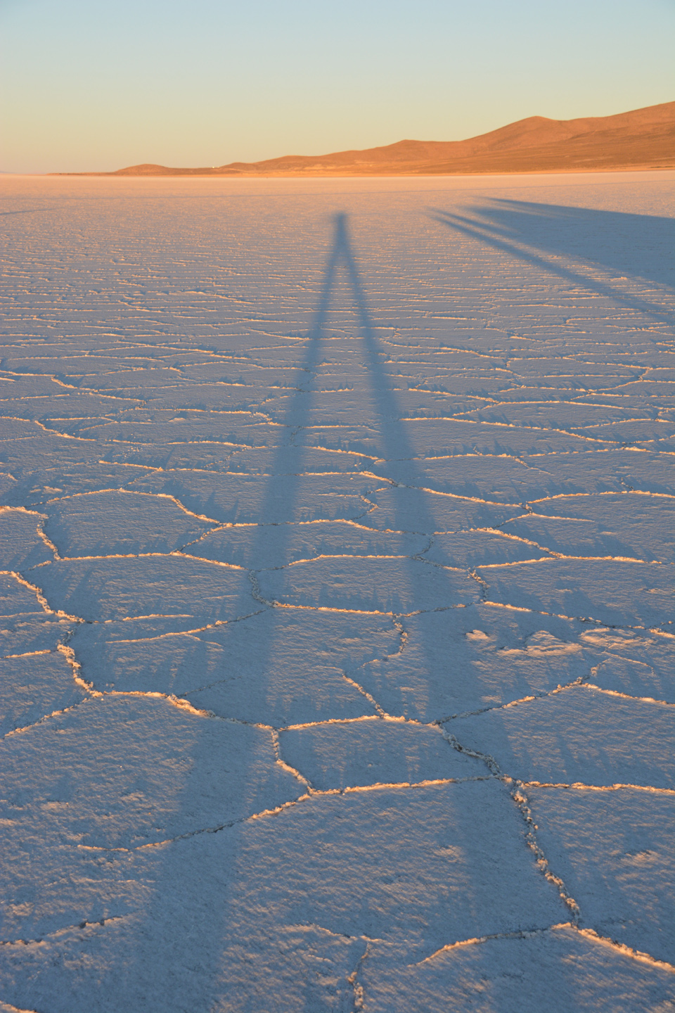
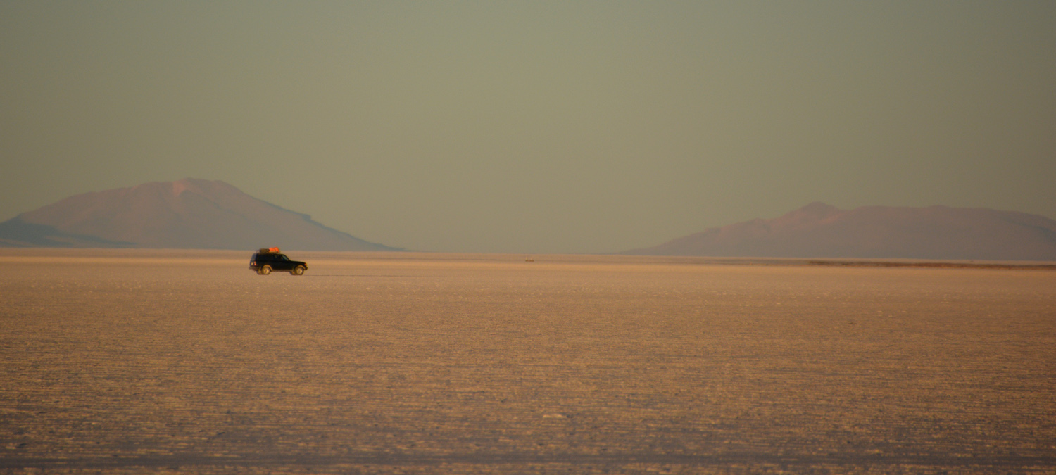
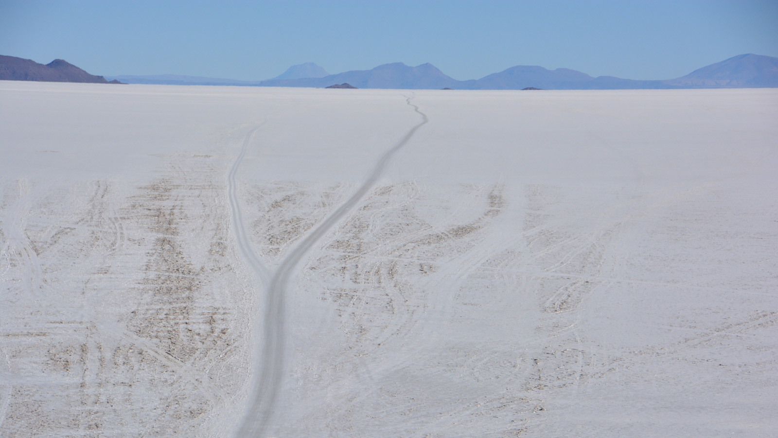
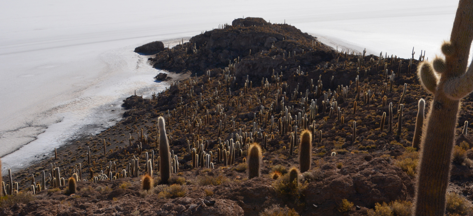
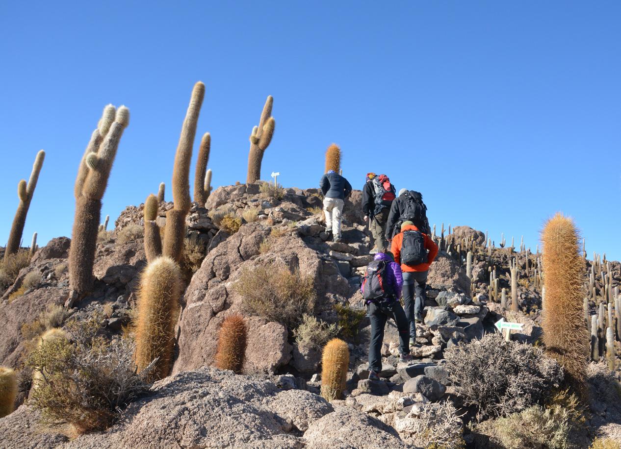
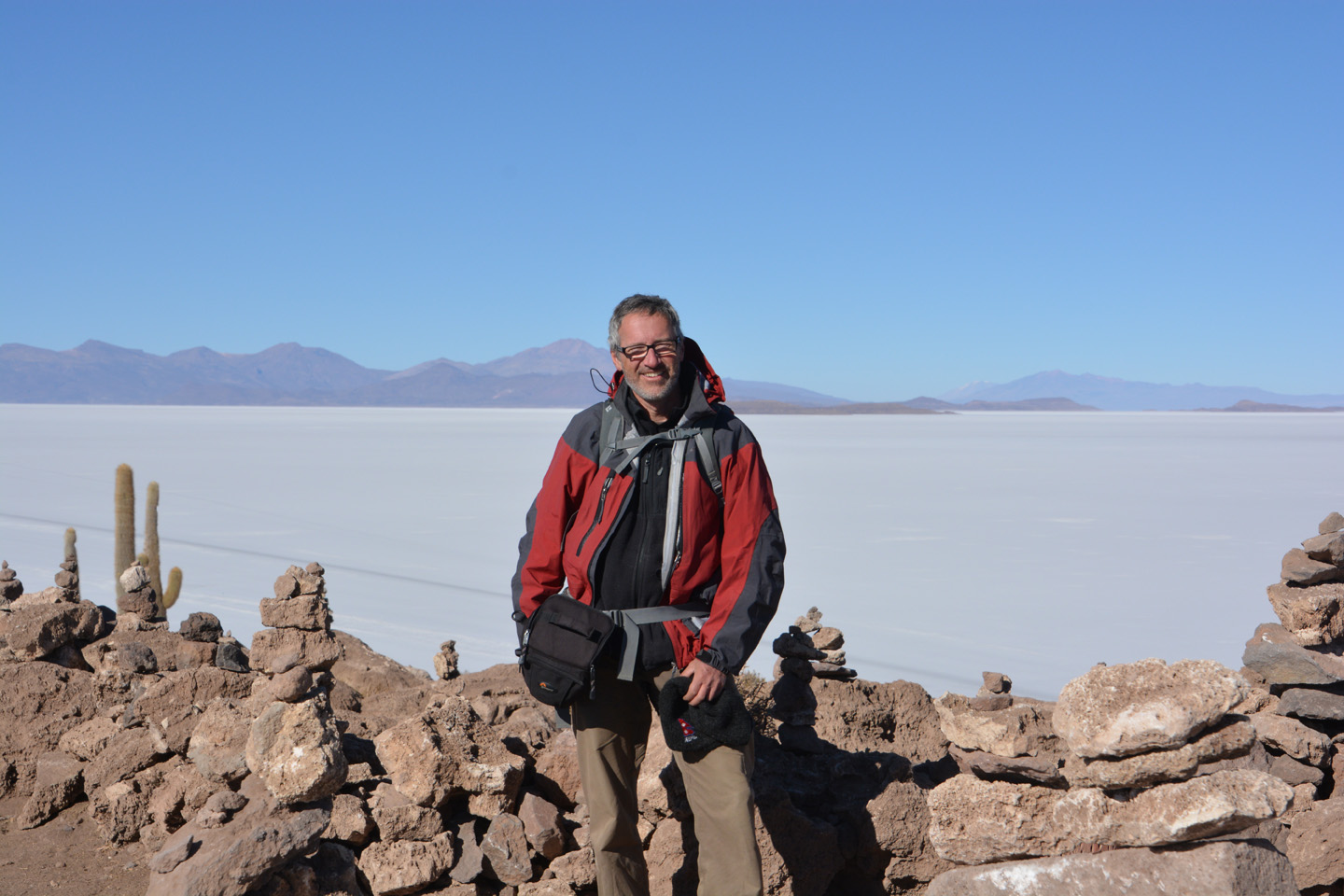
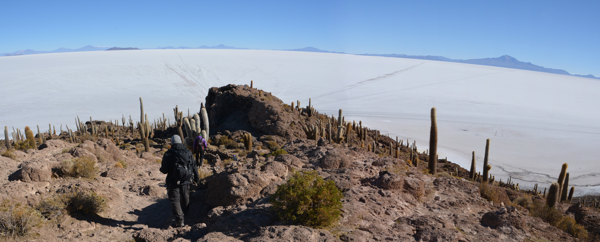
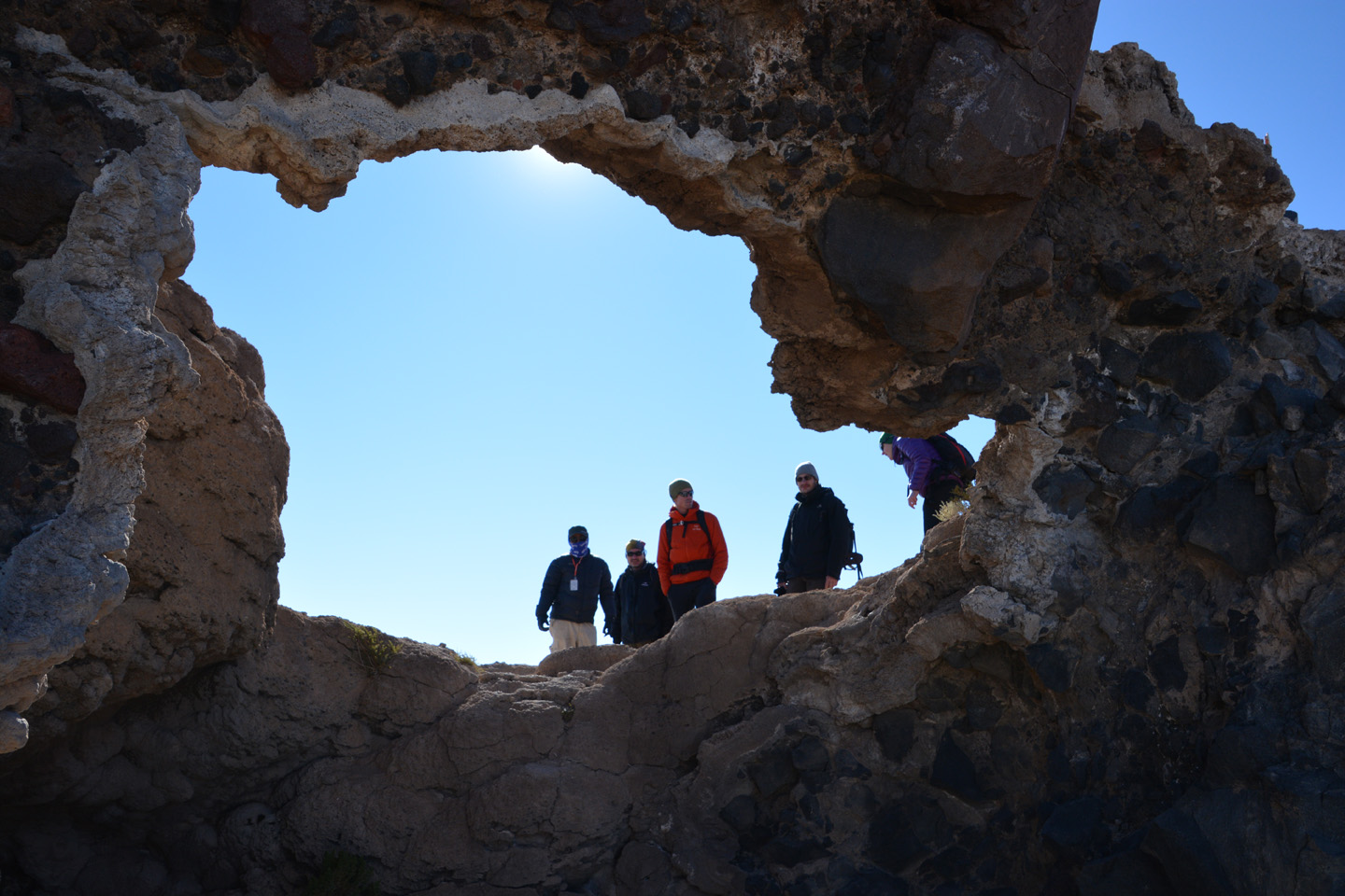
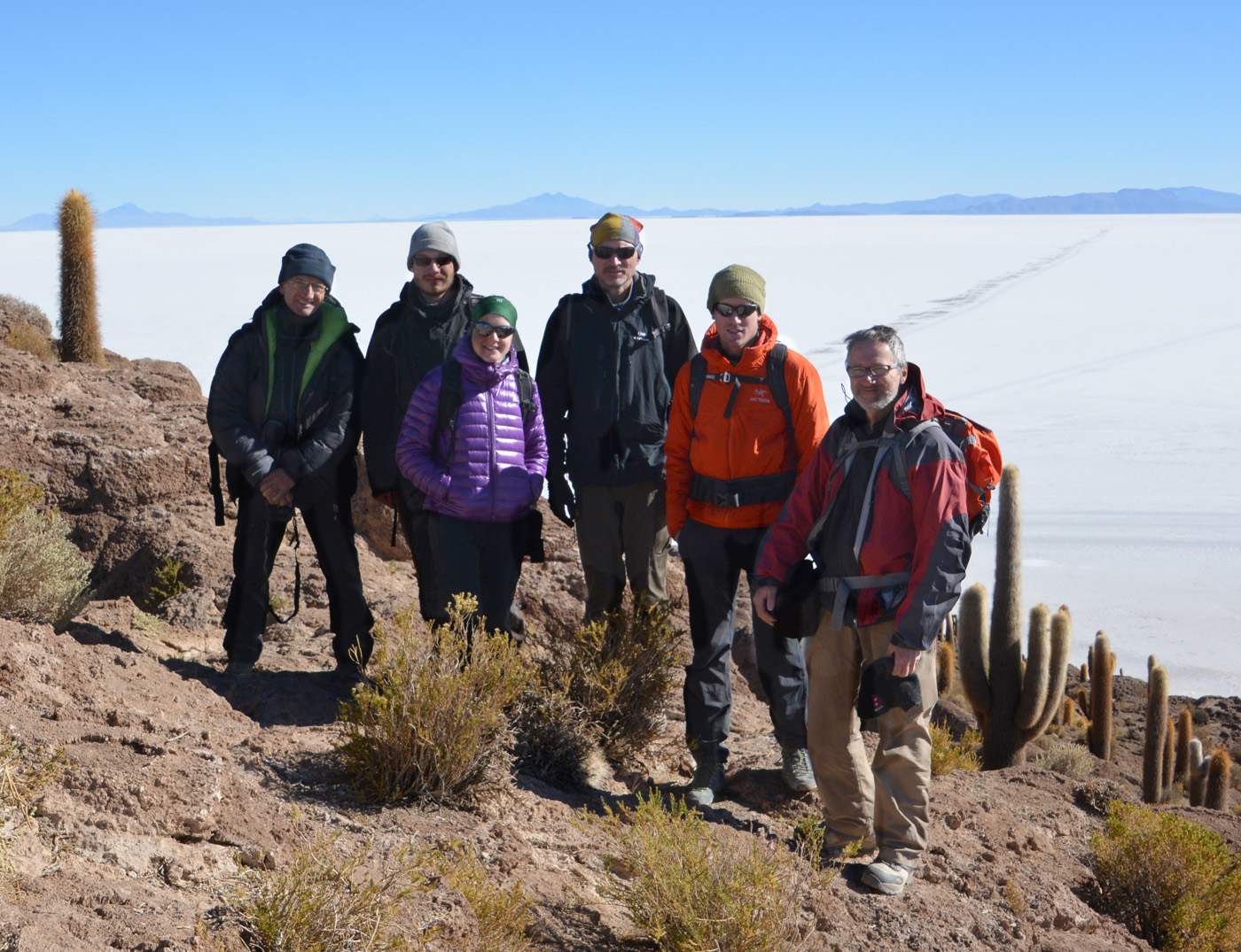
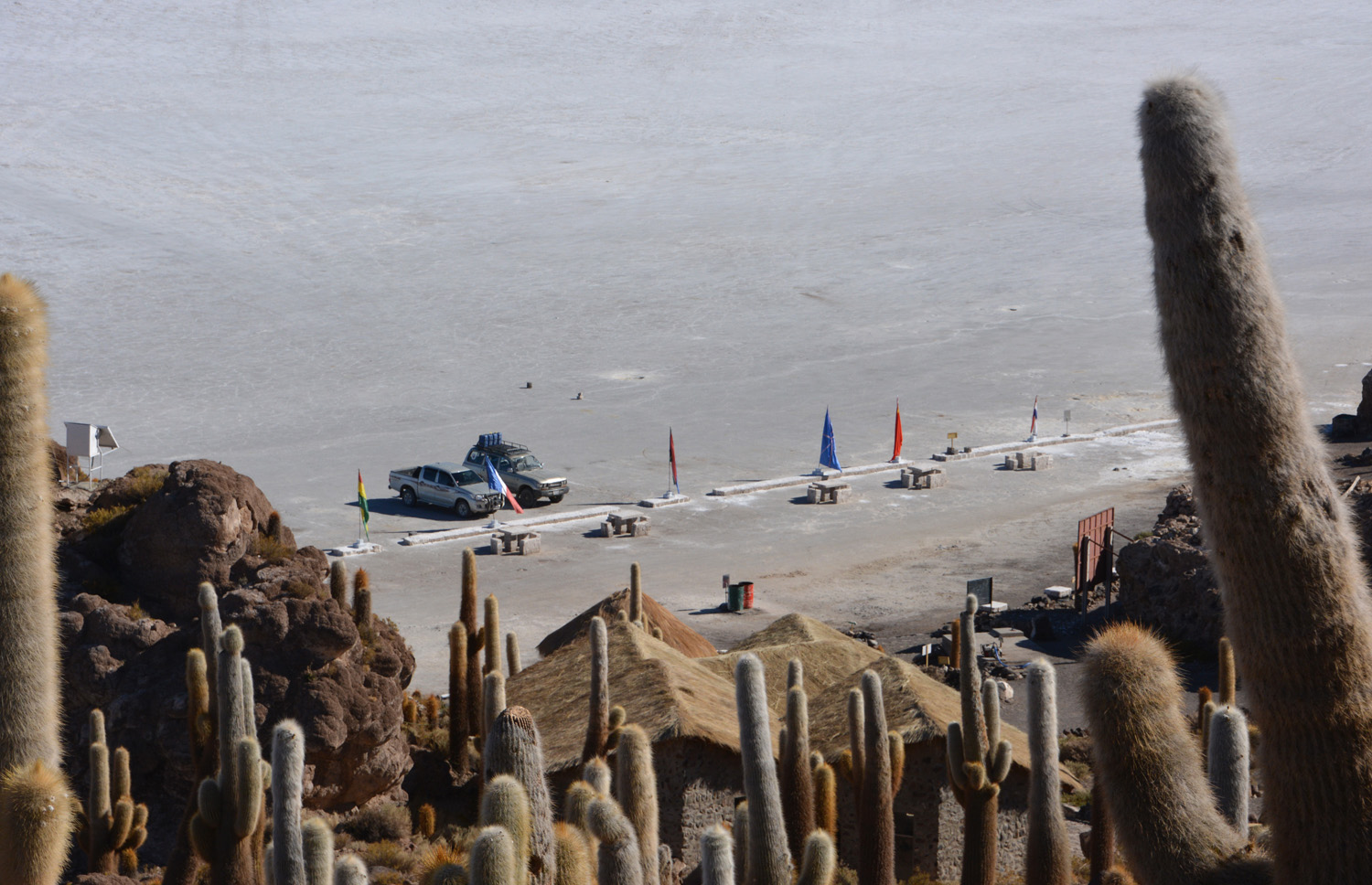
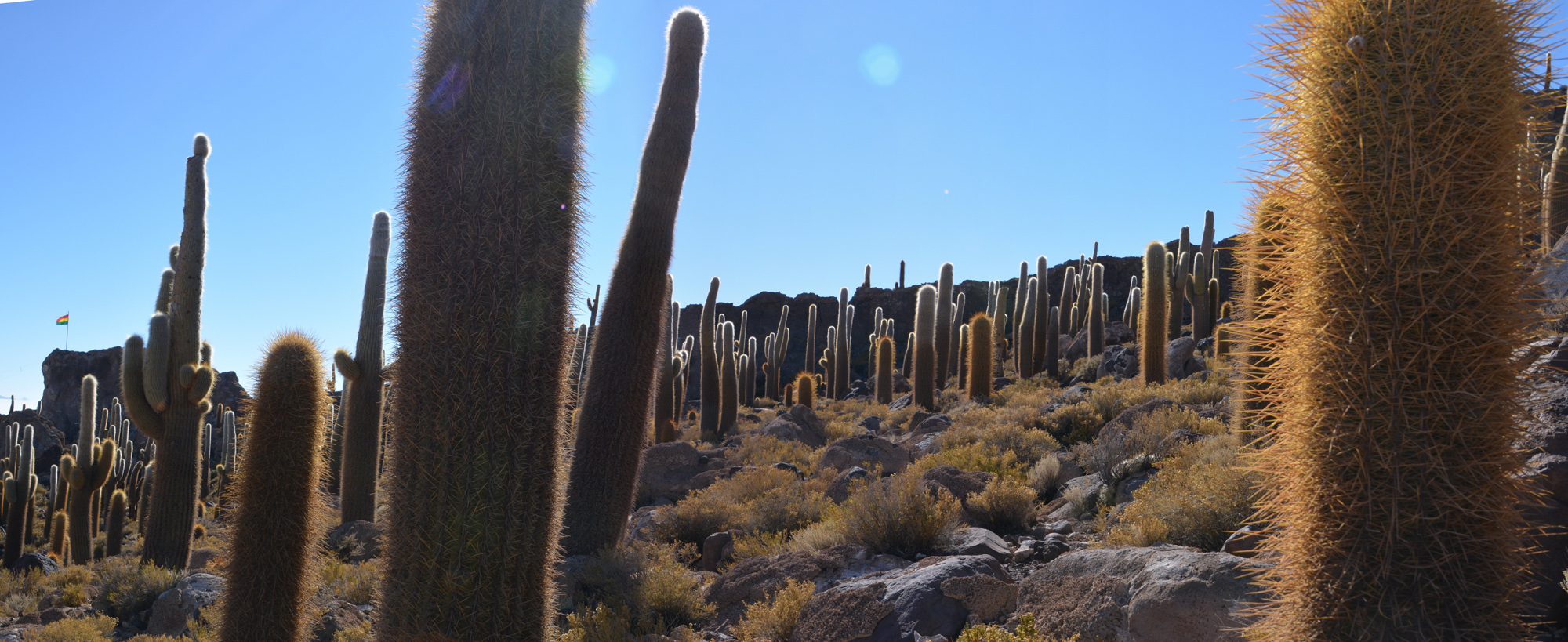
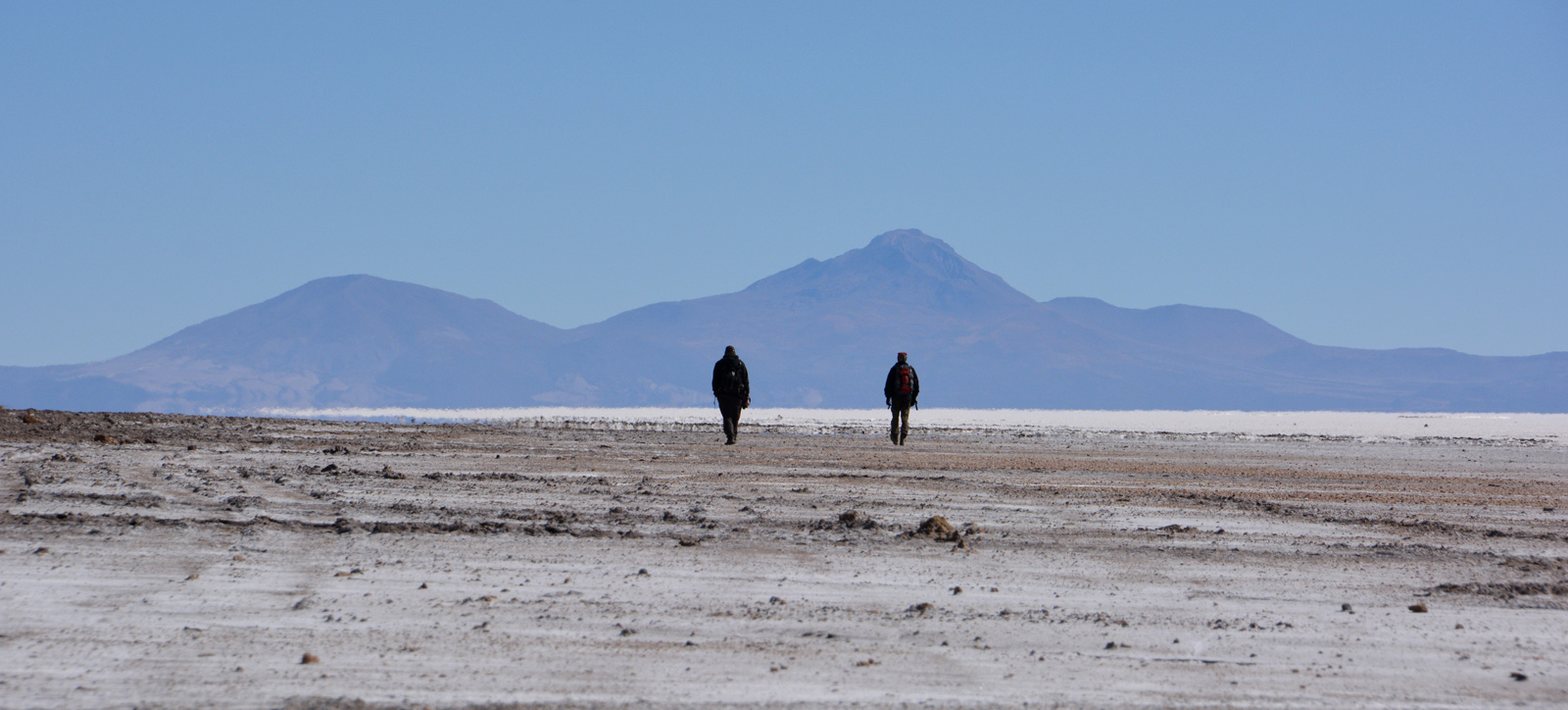
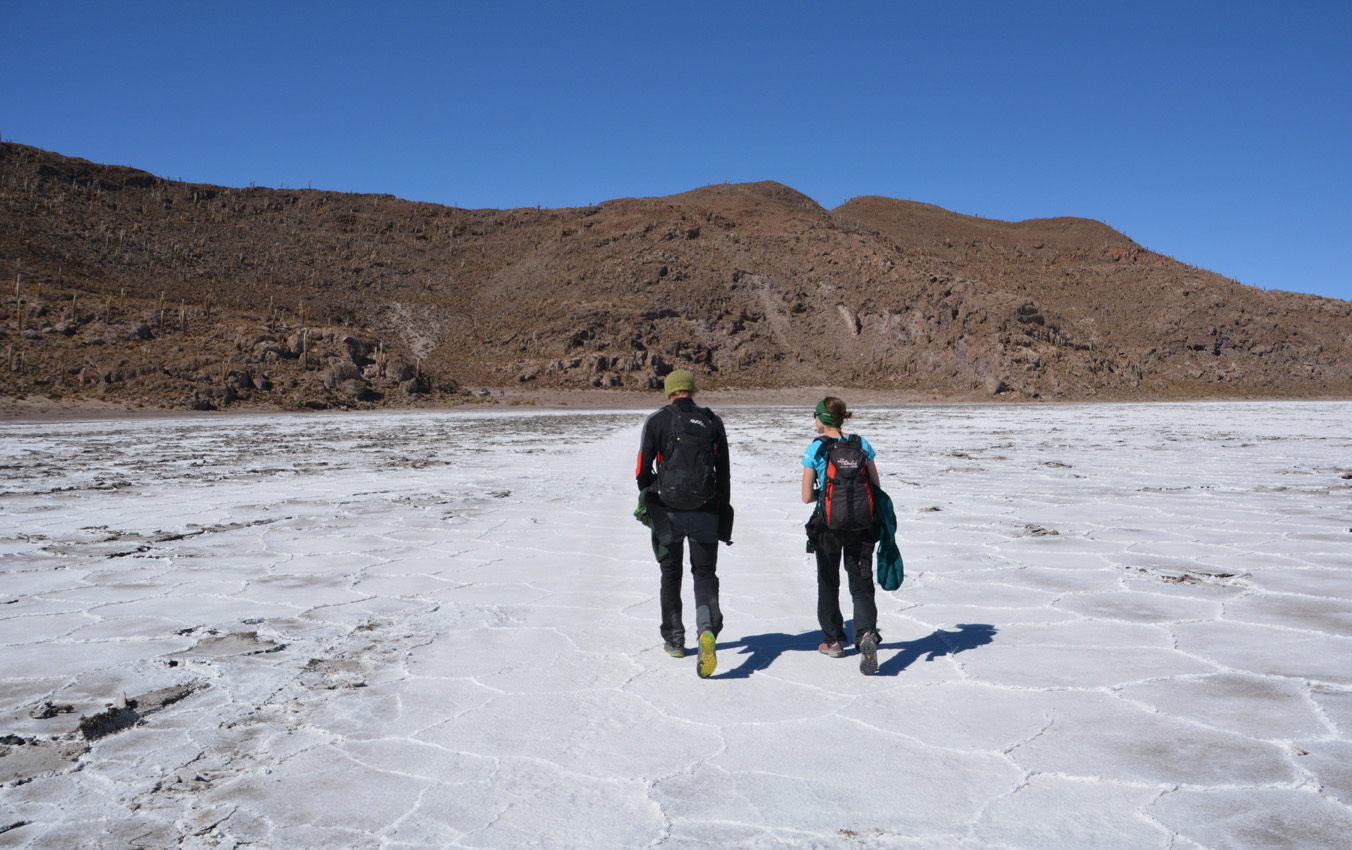
Salar de Uyuni
Le Salar de Uyuni, un incontournable lors d’une visite de la Bolivie. Aller se balader sur le Salar, c’est comme faire un tour sur une autre planète tellement on en perd nos repères. Malgré le long trajet pour s’y rendre et en revenir, cela nous a aussi permis de reprendre des forces après l’Illimani pour espérer attaquer le Sajama. Et puis au retour (27 juillet), on a aussi traversé une partie du Salar de Coipasa, situé plus au nord.

.")


")


.")


")


")


")


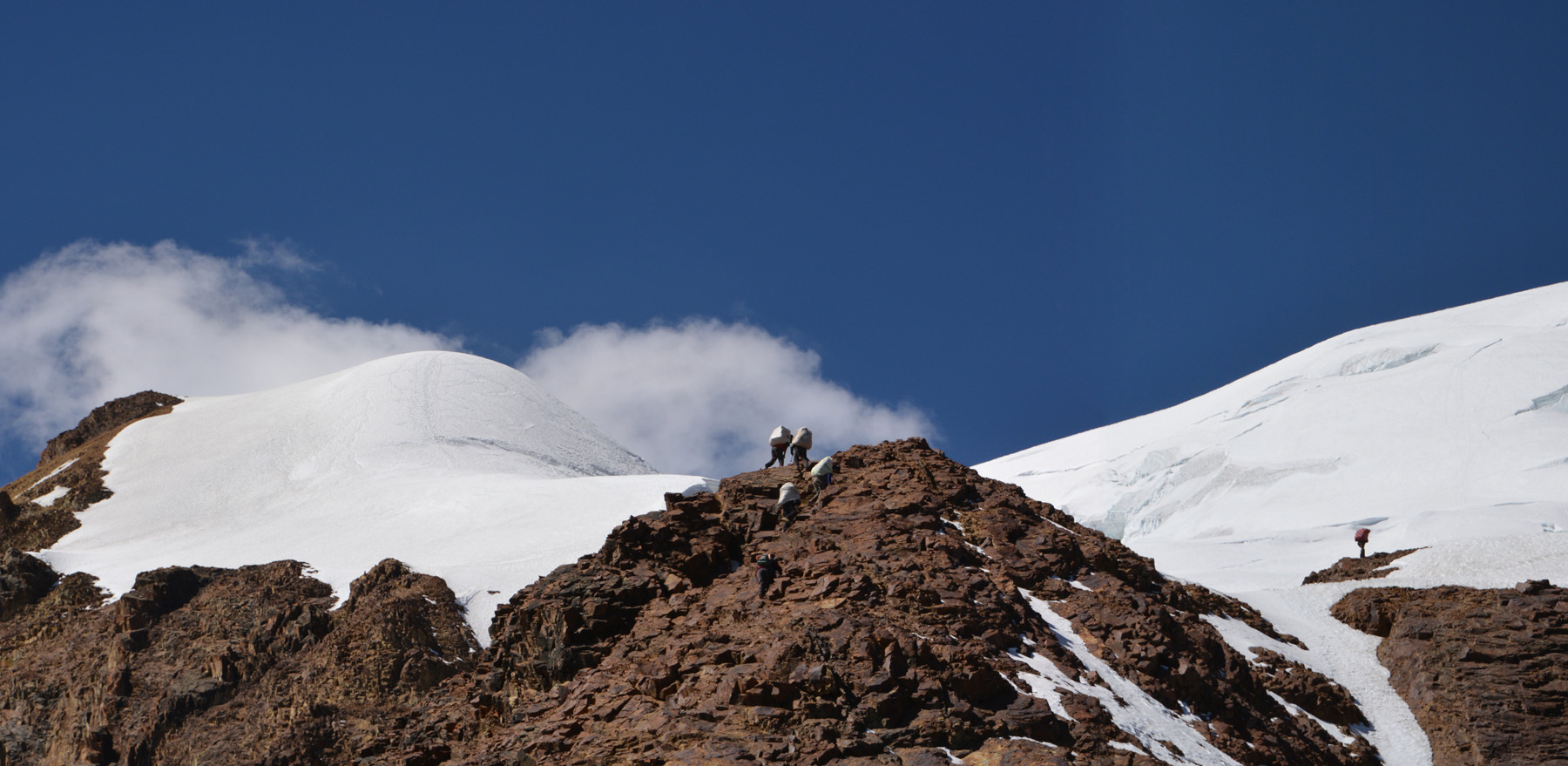
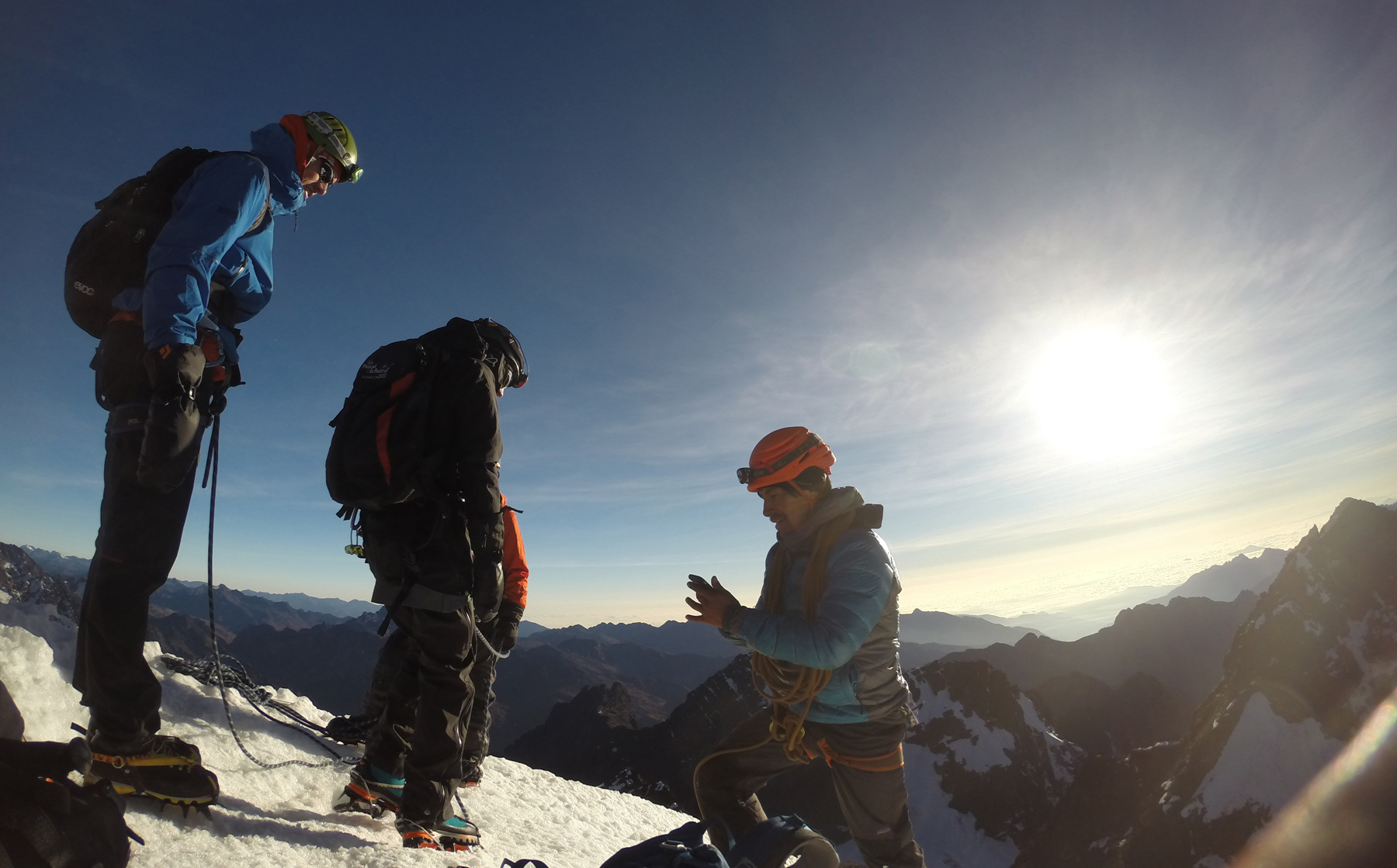
Illimani – Sommet – 6439m
Comme pour les autres sommets de ce voyage, nous nous levons à 1h du matin, pour un début d’ascension à 2h. L’Illimani est classé (PD+/AD-), i.e. légèrement difficile. En bout du compte, il m’a paru plus facile que le Sajama (qui est pourtant classé plus facile), car ce fut pratiquement une ascension presque en ligne droite, avec des ‘marches’ suivant une pente qui nous a parue assez prononcée. À part au tout début où la pente a varié un peu, il n’y avait aucun replat pour se reposer. C’est vraiment donc la haute altitude et la monotonie de l’ascension qui furent les facteurs les plus durs à gérer. Combien de fois on s’est demandé ‘quand est-ce qu’on arrive’!
Vers 6000m, Thomas, qui avait vraiment mal à l’estomac, a dû se résoudre à redescendre avec Amélie. Les deux autres cordées, dont la mienne (avec Luigi), ont rejoint le col au moment où le soleil se montrait enfin le bout du nez (vers 7h). On s’arrête à ce qui parait être le sommet, mais le véritable sommet est plus loin. Ça nous prendra un 40 minutes supplémentaire pour le rejoindre, ce qui nous paru une éternité. La fatigue se faisait alors sentir, et le froid également. Cependant la vue en valait bien la peine, avec la démarcation claire entre l’altiplano aride à l’ouest, et la jungle couverte de nuages à l’est. On est restés à peine 10 minutes avant d’entreprendre la redescente, abrupte. Nous avons rejoint le nid de condors vers 11h. Petit repos d’une heure, puis descente vers le camp de base (qu’on rejoint à 15h), et enfin un autre effort pour rejoindre le village (arrivés vers 17h). Une longue journée!
.")


")


")


")


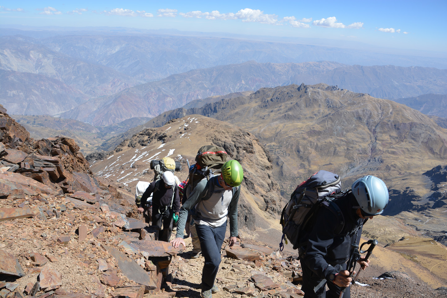
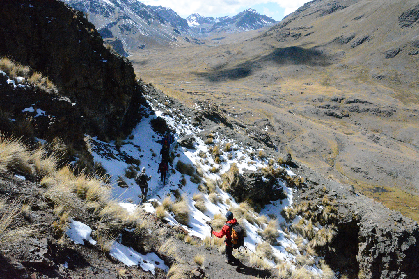
Illimani – Camp en altitude – 5500m
Journée visant à rejoindre le camp d’altitude de l’Illimani (nommé nid de condors) depuis le camp de base. Un 1000m d’ascension que nous avons complété en environ 4h30.


.")
")


 dormir. Lever à 01h00.")

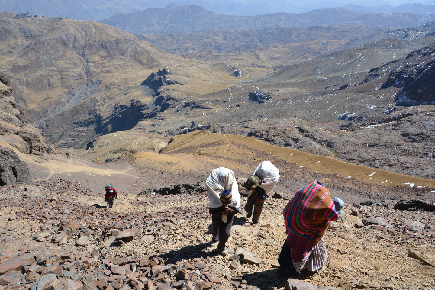
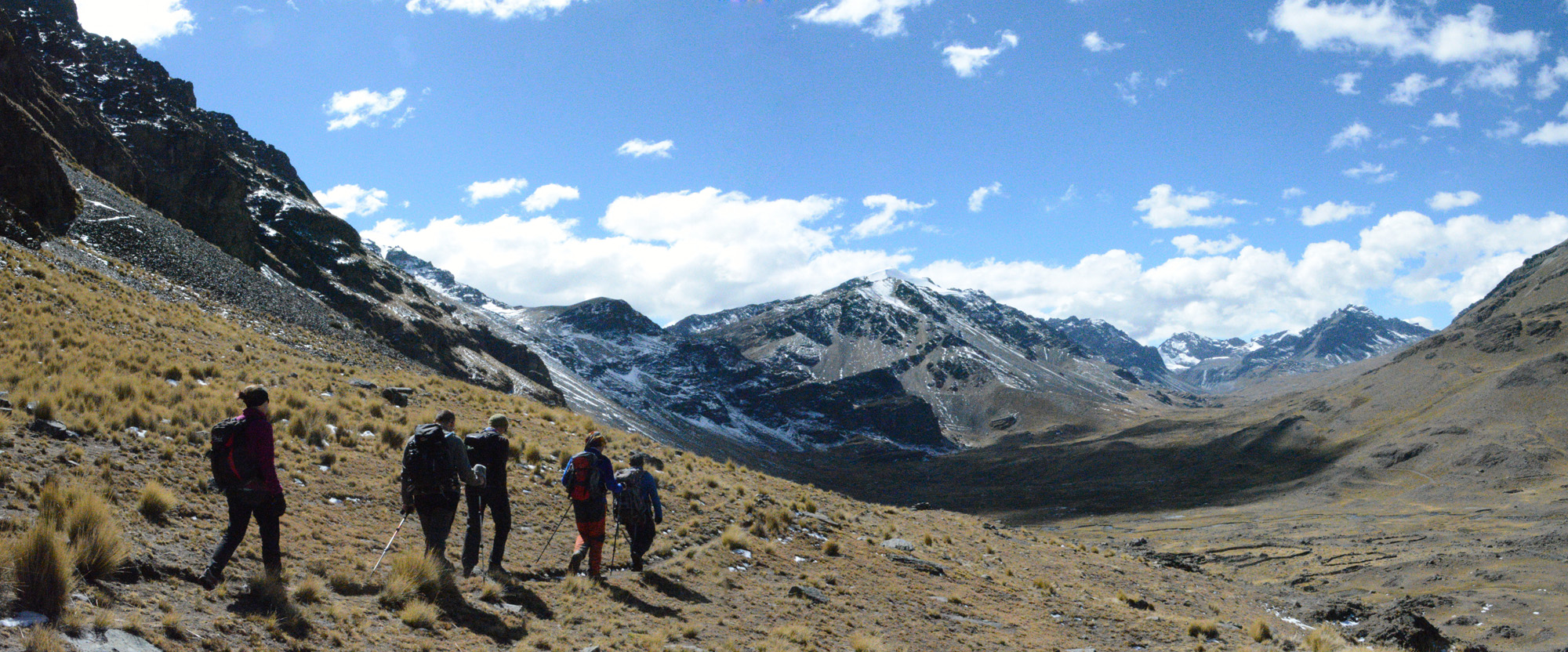
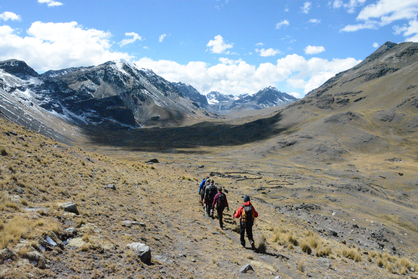
Illimani – Camp de base – 4500m
Début de notre expédition pour aller gravir l’Illimani. Nous partons de LaPaz, à bord de 2 jeeps, vers 8h du matin. La montagne parait proche, mais il faut trois heures de routes sinueuses pour s’approcher au plus près de la montagne. De là, un petit trois heures supplémentaires de marche, et nous sommes au camp de base de l’Illimani, à 4500m d’altitude. On y signe le carnet officiel des grimpeurs. Surprise, il y a somme toutes eu assez peu de groupes pour en faire l’ascension cette année (200 personnes max).


. La météo s'annonce idéale.")


")


. Il fait beau, on s'installe sans se presser.")

 qui mène au sommet. Ça a l'air pas si mal, mais cette ligne droite va nous paraitre interminable.")


 et souhaiter une bonne ascension.")
")

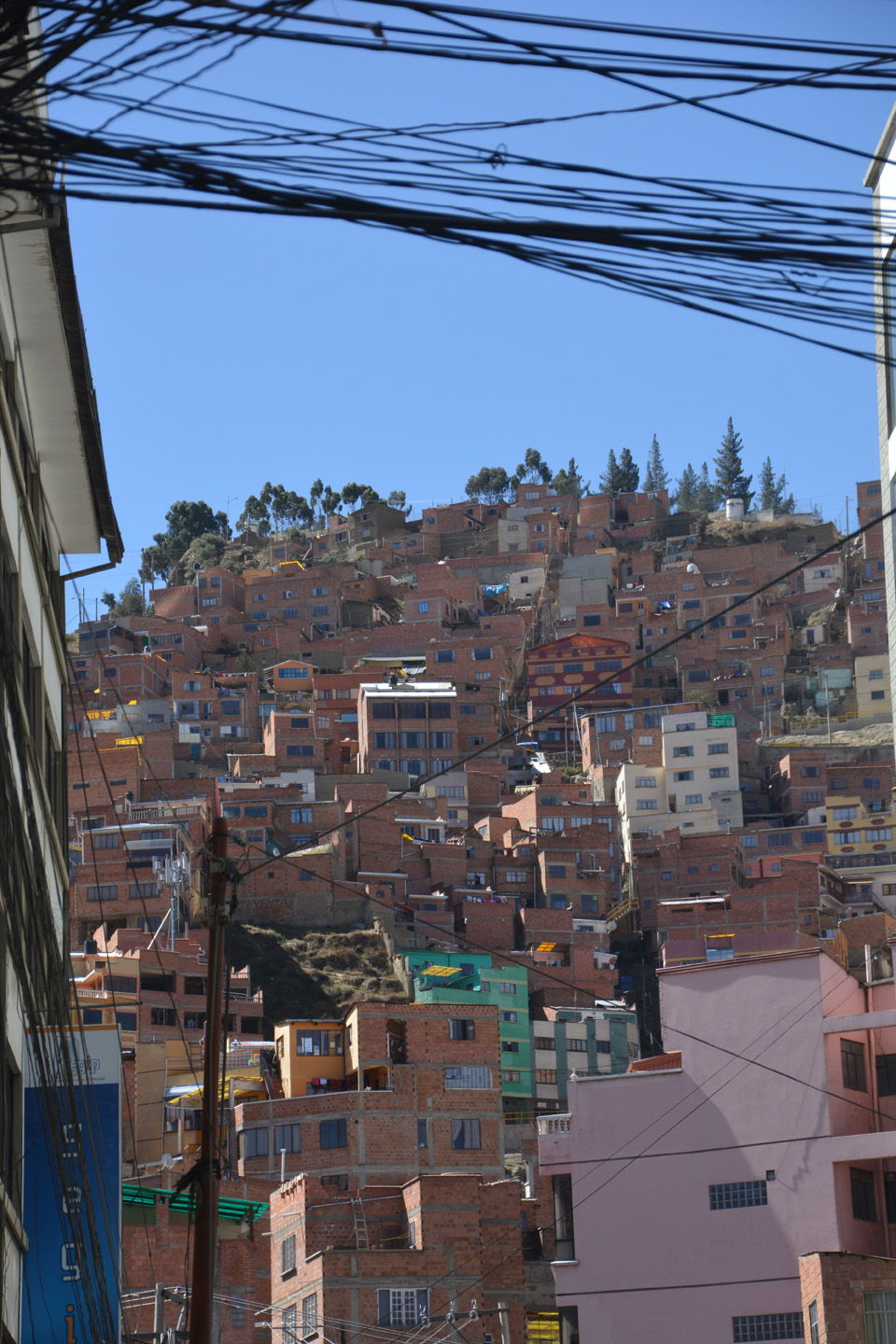
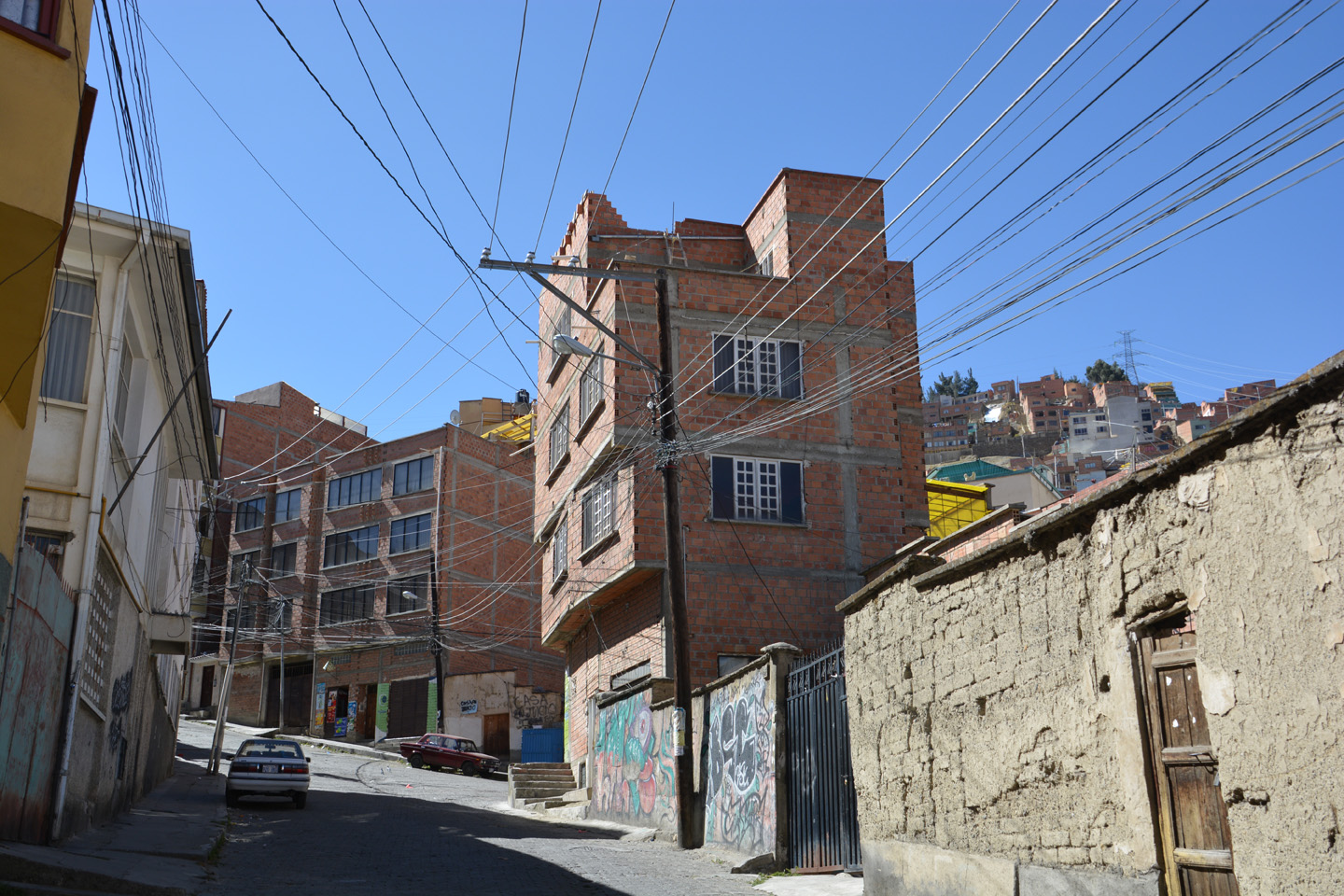
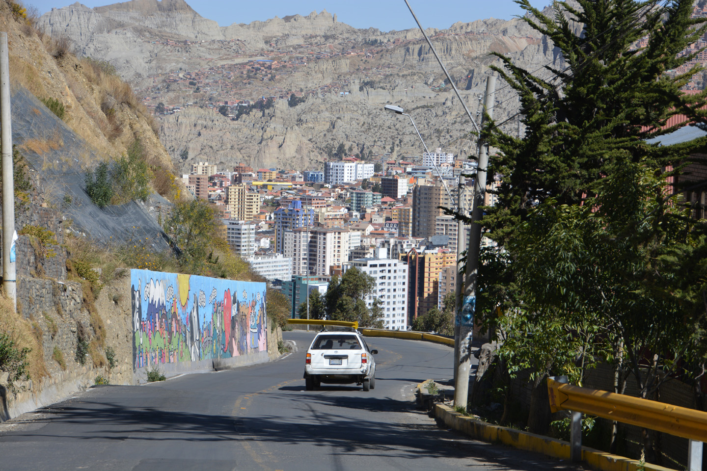
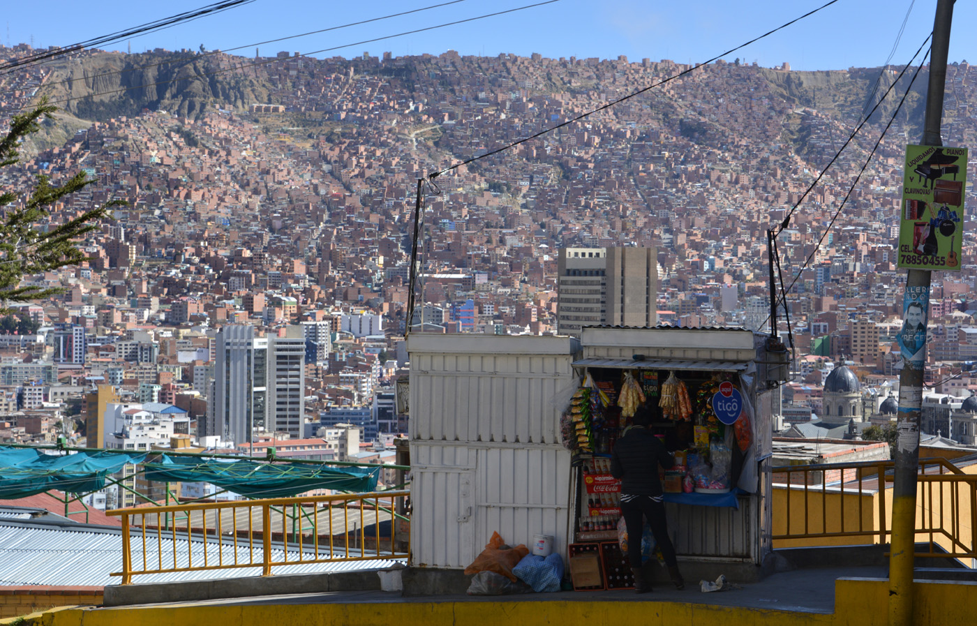
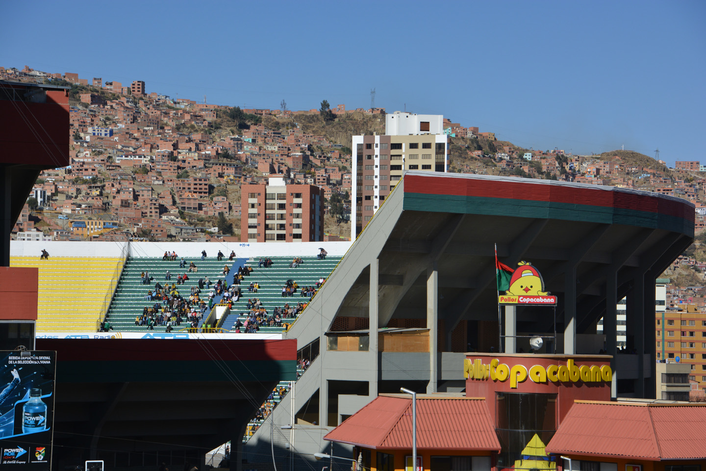
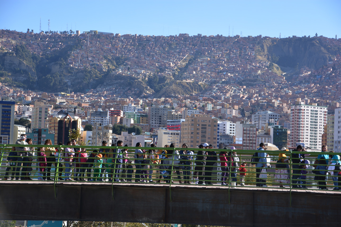
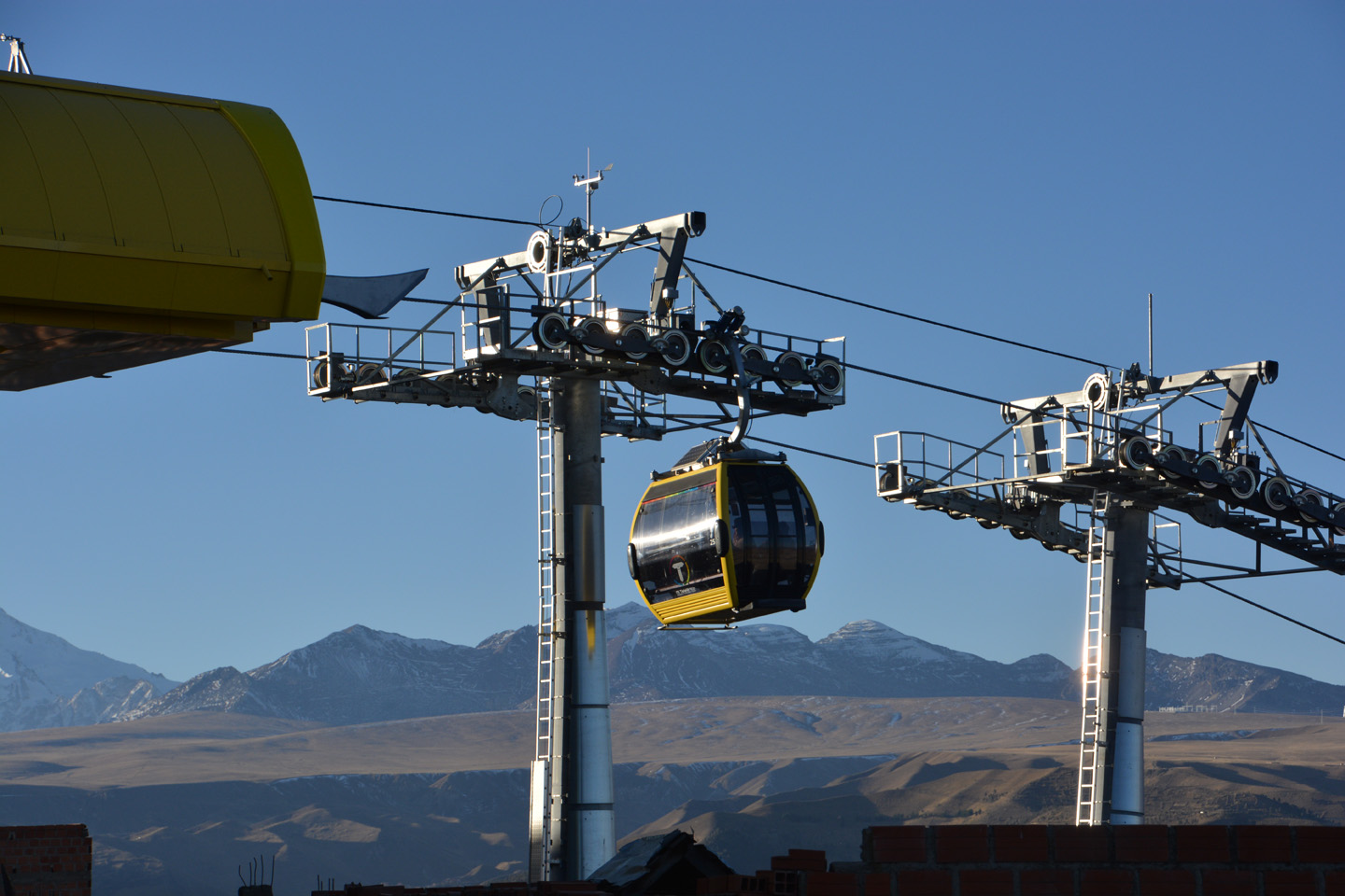
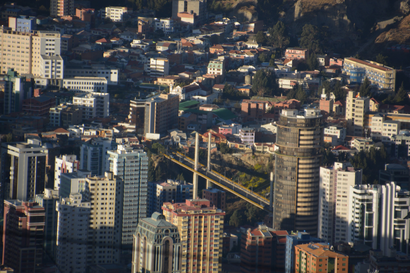
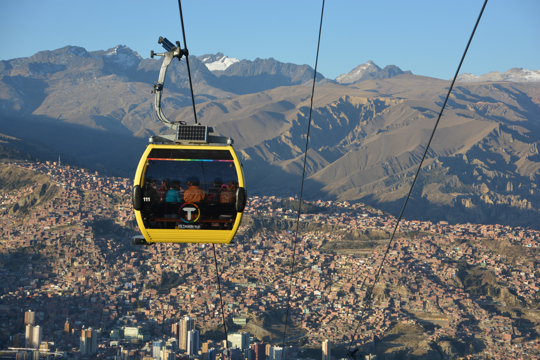
La Paz – extras
Quelques photos supplémentaires de LaPaz et El Alto, vers lesquelles nous sommes revenus lors de nos journées de récupération.

, le canyon est cultivé.")
 nous voilent la vue sur La Paz.")


.")
")


Pequeño Alpamayo – 5410m
Après notre trek d’acclimatation, on était prêts pour grimper un premier sommet ‘facile’, le Pequeño Alpamayo (5410m). On a mis un peu plus de 5h30 pour rejoindre le sommet depuis le camp de base (4660m). Je n’ai pas trouvé ce sommet si facile que ça! En plus il fallait passer par le sommet du Tajira (5250m) et redescendre une portion rocheuse de 100m avant d’attaquer le sommet. Le vent (et le froid) a compliqué un peu les choses sur la portion abrupte, heureusement les guides on installé des pics à glace pour assurer notre montée. Partis à 2h du matin, nous étions de retour au campement de base vers 11h30.
. Une heure de marche pour s'y rendre.")

. On est déjà au sommet du Tajira (5250m)")


, on profite du soleil pour se réchauffer et manger un peu.")


 nous précède.")


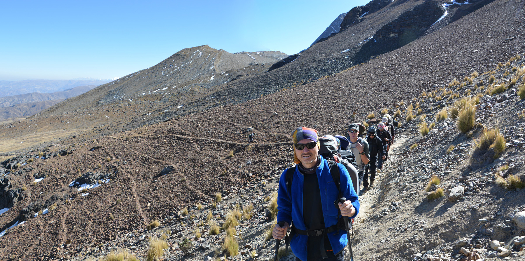
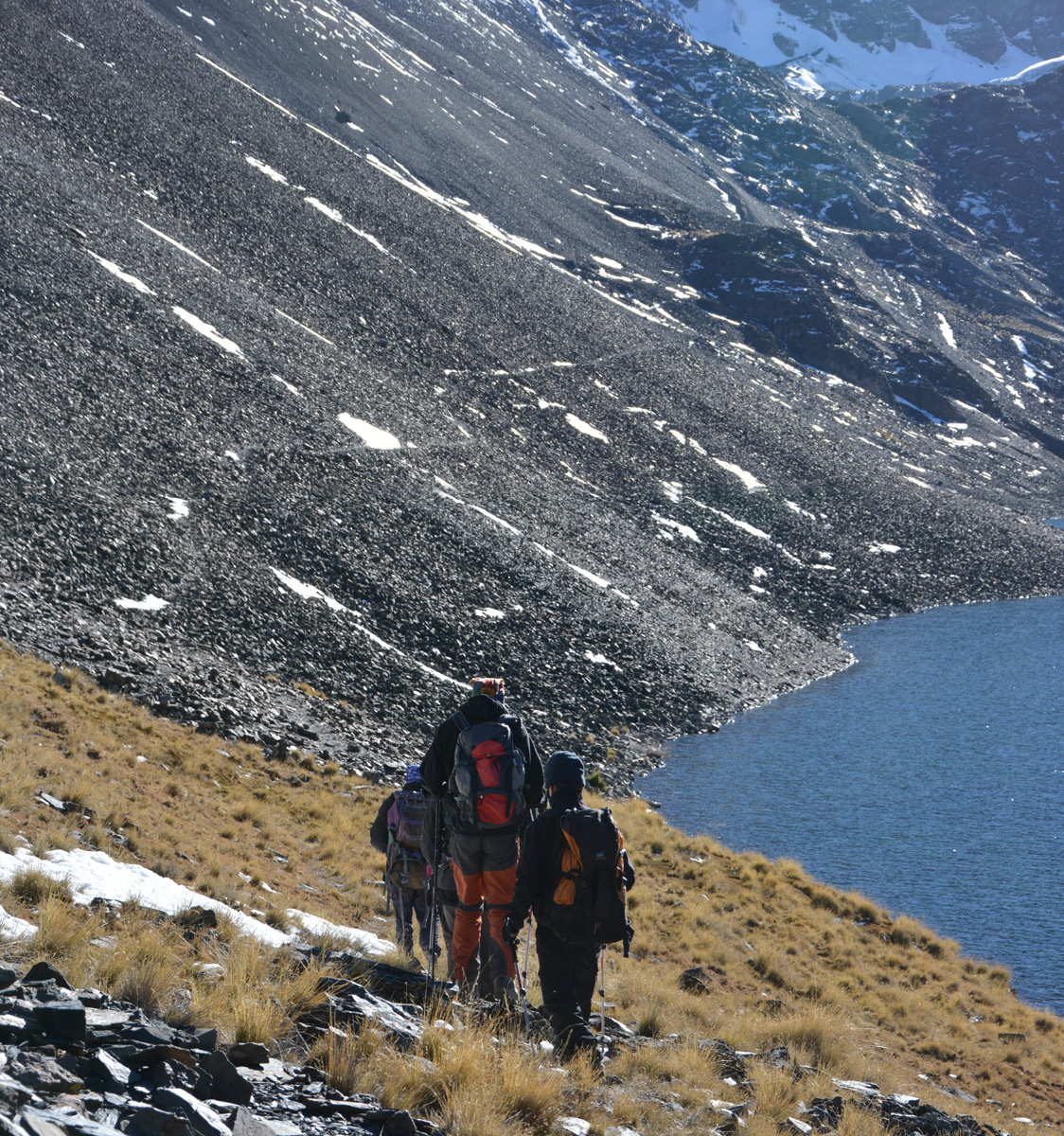
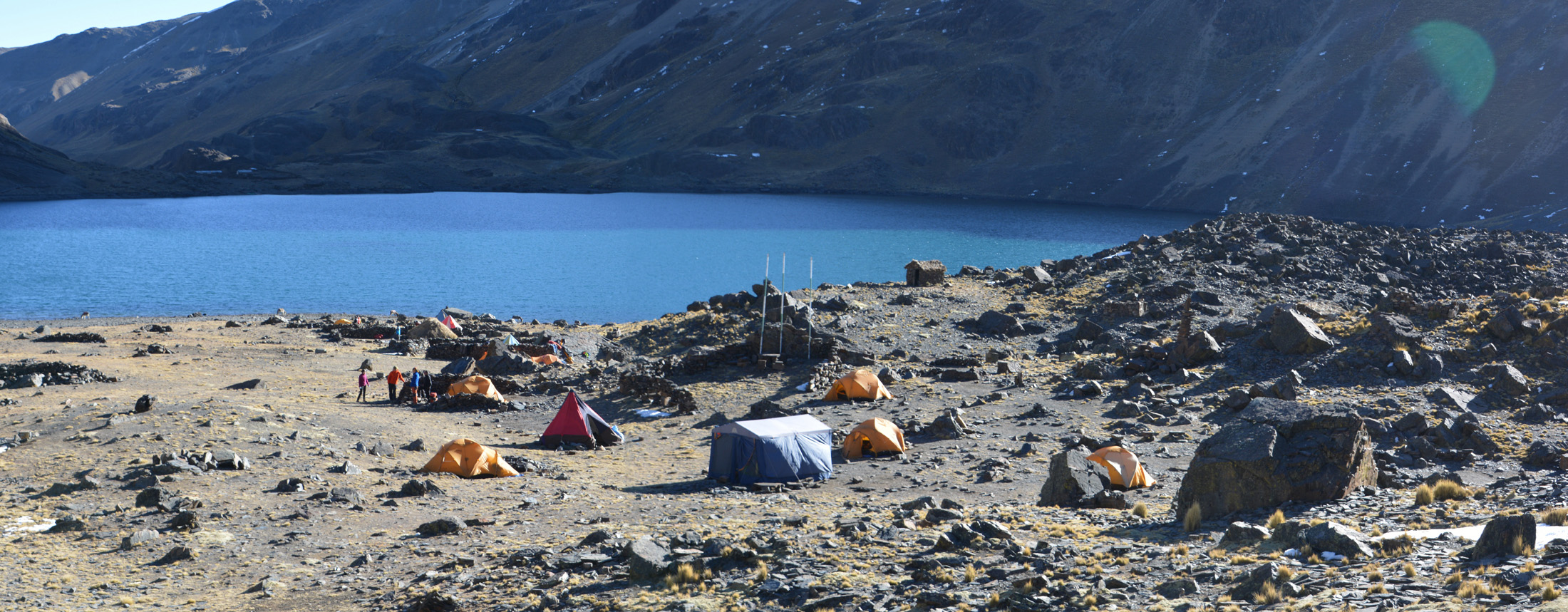
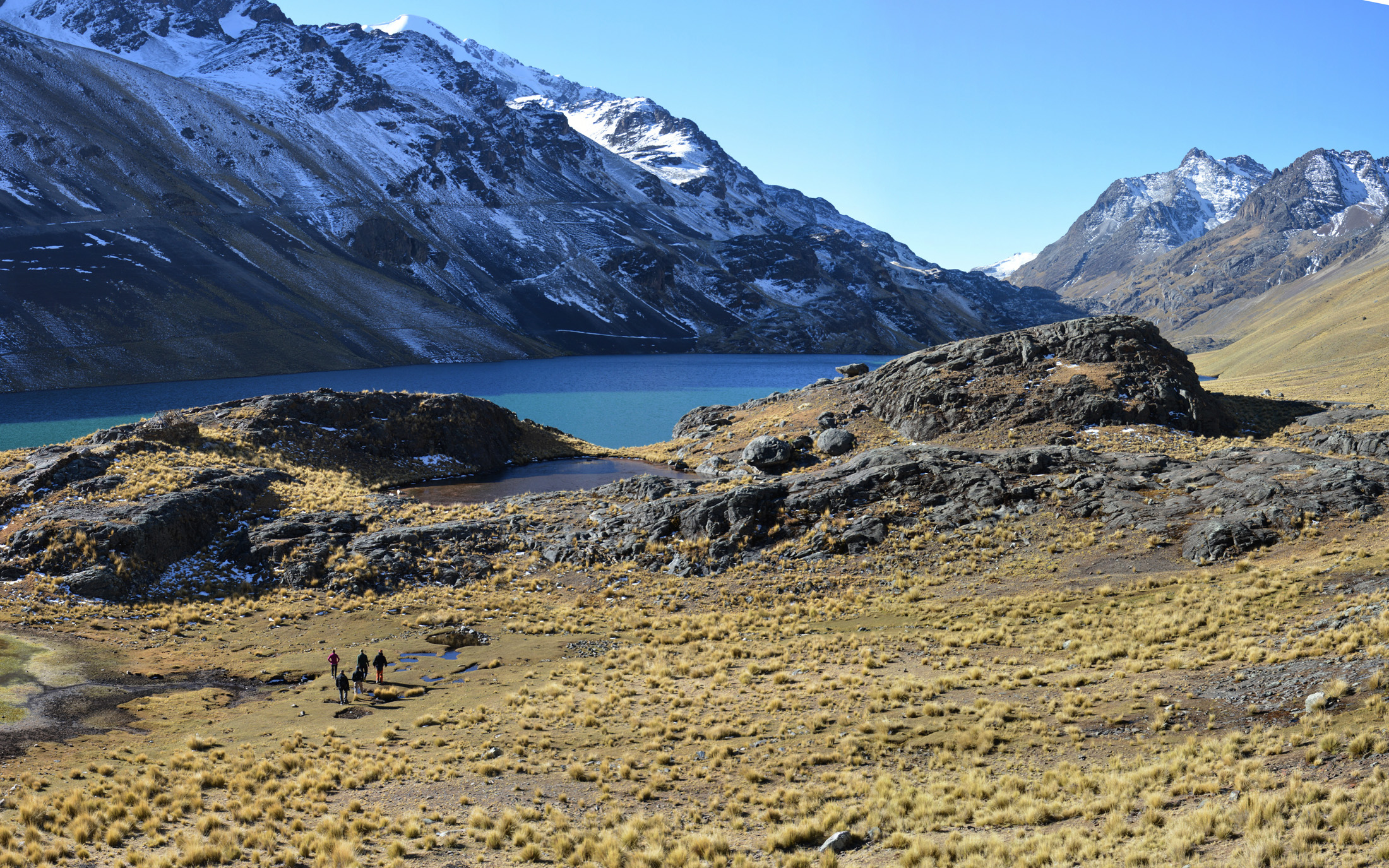
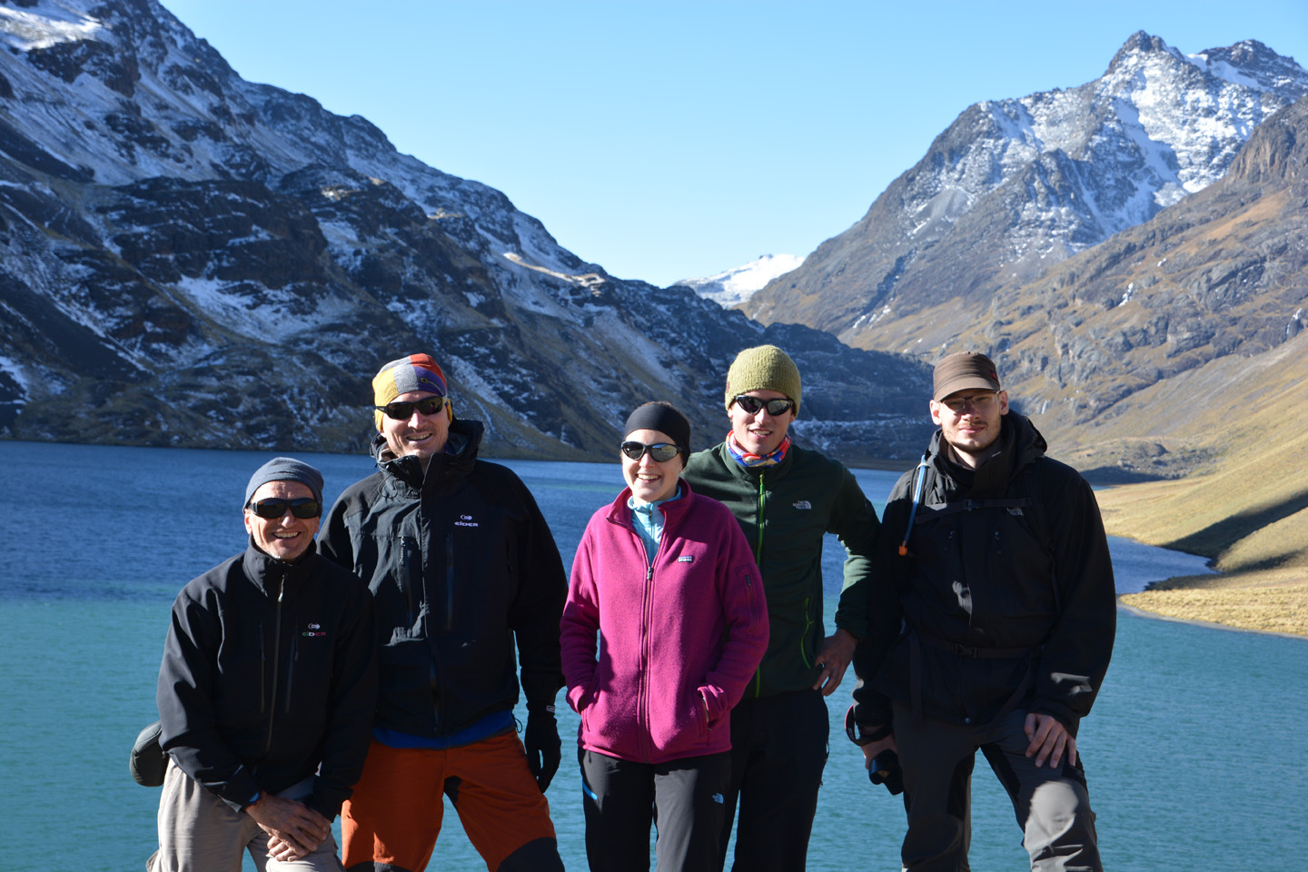
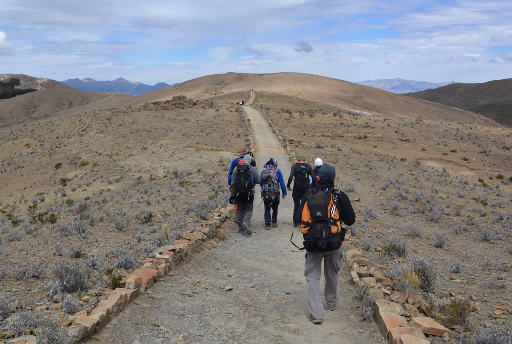
Trek – Jour 4
Trek d’acclimatation dans la Cordillère Royale – 4eme et dernier jour. Cette fois-ci on s’approche d’un véritable décor montagnard, on traverse le col Apacheta à 5150m, et puis on rejoint le campement au bord de la lagune Condoriri, à 4660m. On fait la rencontre des guides de montagne et on révise l’équipement. On se couche tôt, c’est cette nuit que l’on va effectuer notre ascension du Pequeno Alpamayo.


 est plus achalandé, quelques groupes montent en otre direction.")


Trek – Jour 3
Trek d’acclimatation dans la Cordillère Royale – 3eme jour.
Décor plutôt aride, similaire à la veille. On franchit deux cols, puis on campe aux alentours de 4700m, en face d’un lac.


.")


")


Trek – Jour 2
Trek d’acclimatation dans la Cordillère Royale – 2eme jour. Montée au col Katarani (4800m), puis après 4-5h de marche, on ‘campe’ à 4600m, dans une auberge en (dé)construction.
Note: Les photos de cette journée sont malheureusement très granuleuses. Après avoir pris des photos du ciel étoilé, j’avais oublié de remettre mon ISO de 10000 à la valeur appropriée!!


, suffit plus que de redescendre
.")


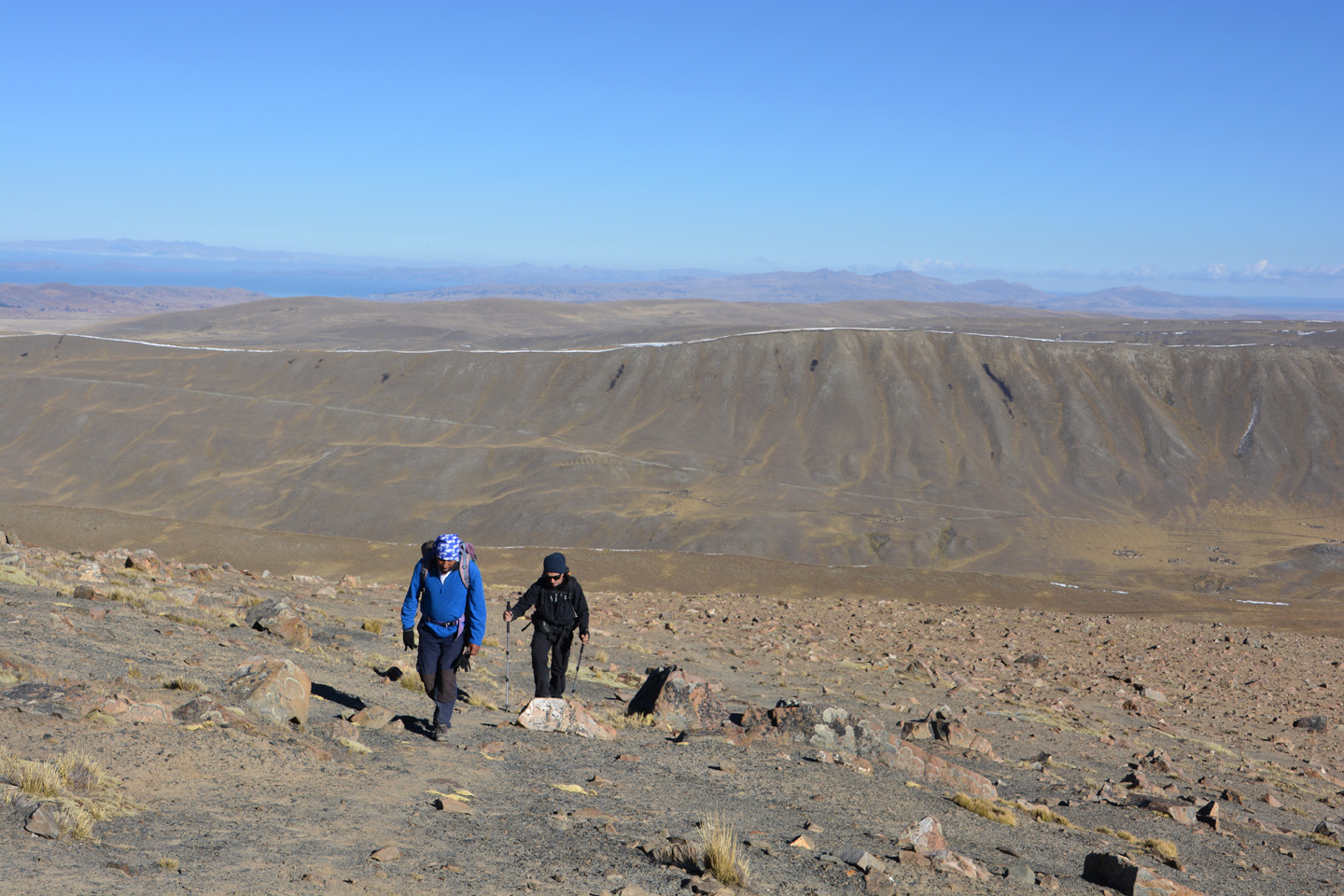
Trek – Jour 1
Trek d’acclimatation dans la Cordillère Royale – premier jour. Depuis le lac Titicaca, déplacement en jeep jusqu’au site du premier campement, à 4400m.


. En bleu, l'ascension prévue du Pequeño Alpamayo.")


")

Bolivie Ciels Étoilés
En Amérique du Sud, on a droit à des ciels étoilés époustouflants. Parce que la voie lactée est directement au-dessus de nos têtes, mais aussi parce qu’on est souvent loin de la pollution lumineuse. J’ai donc décidé d’apporter un petit trépied et faire mes quelques premiers essais de photos de nuit.


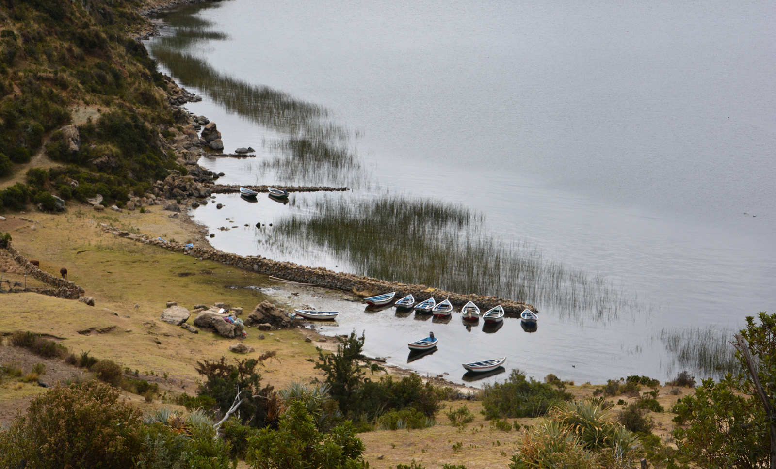
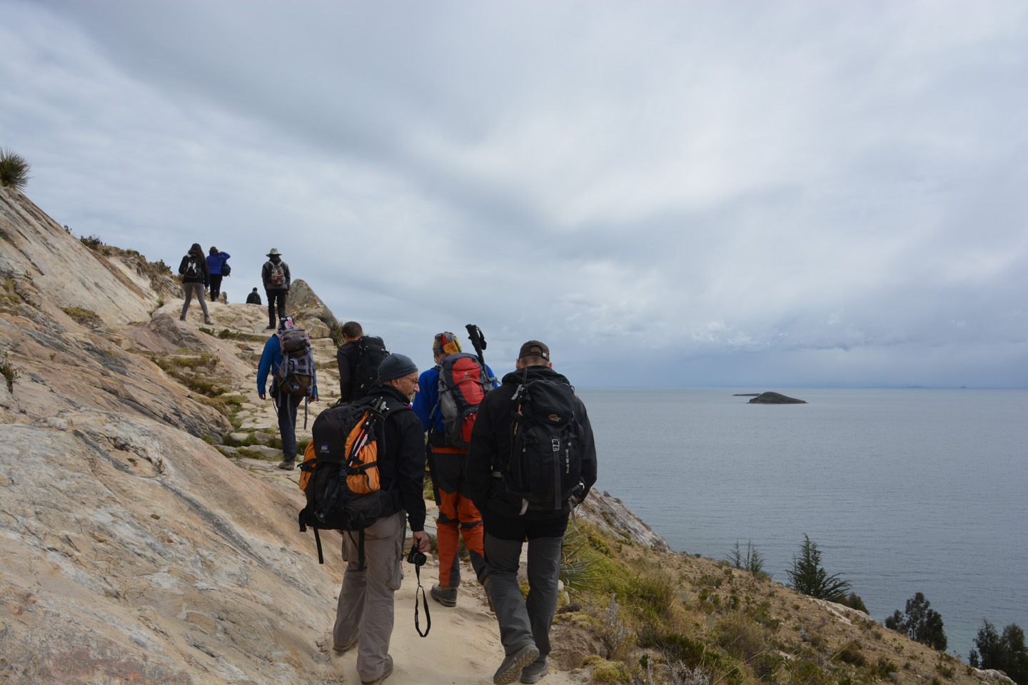
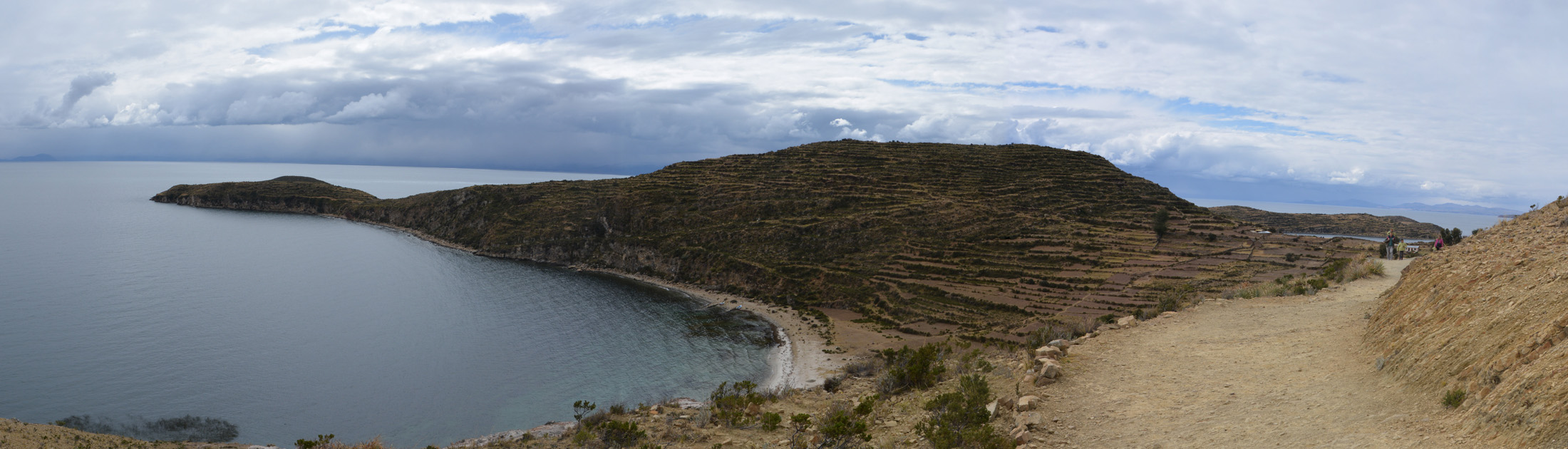
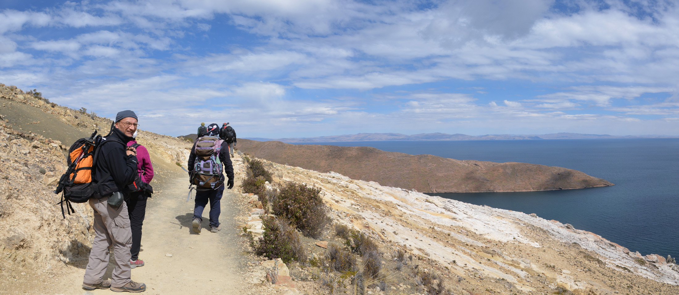
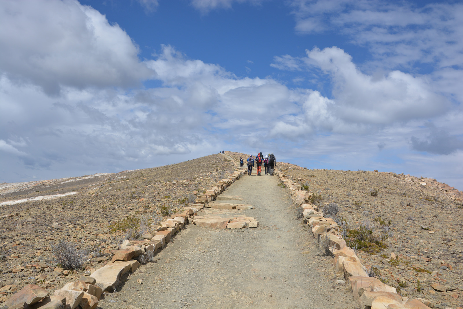
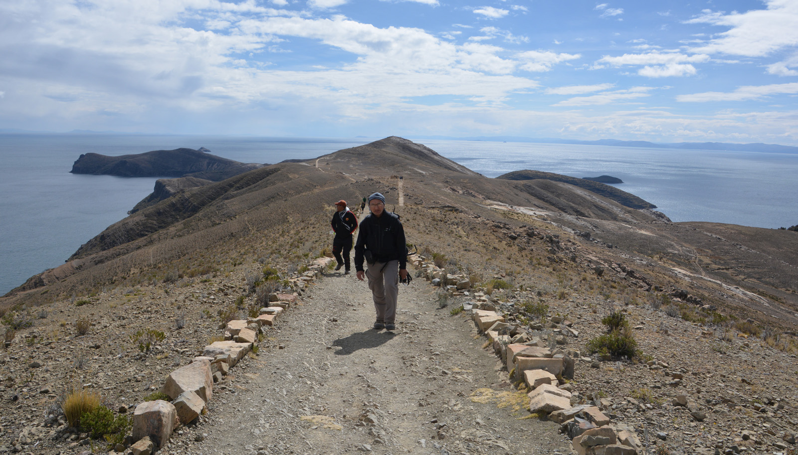
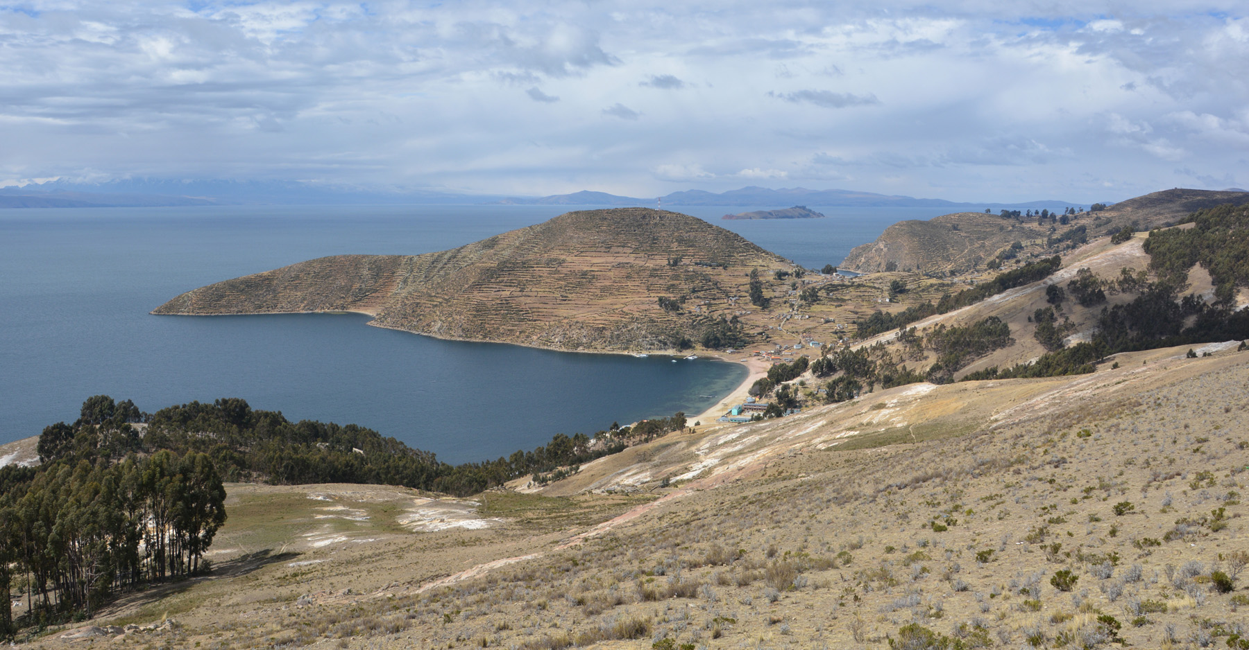
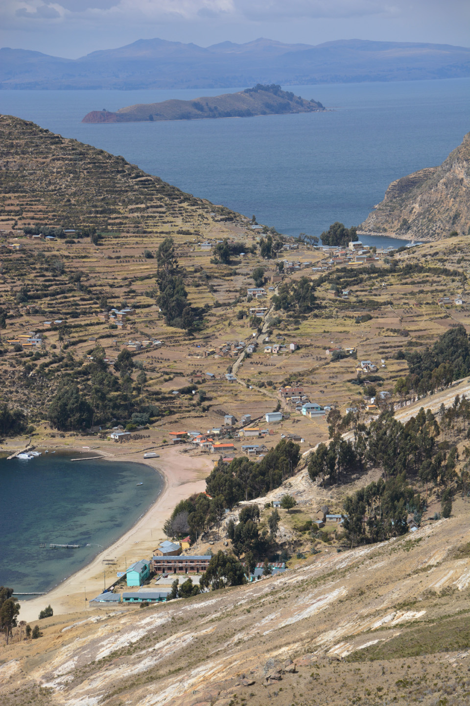
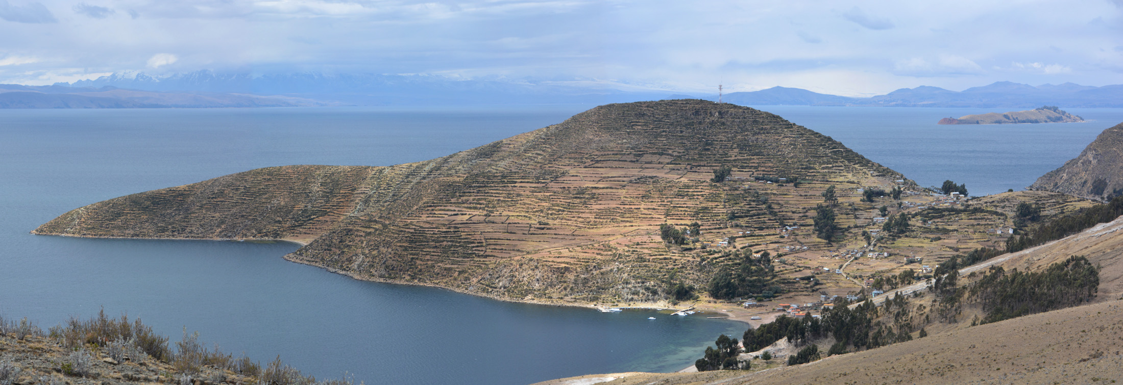
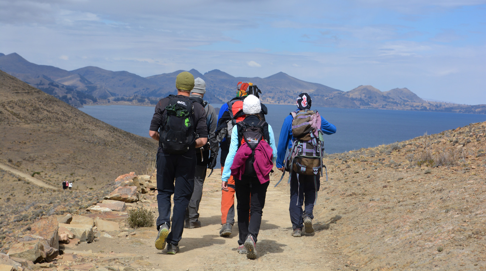
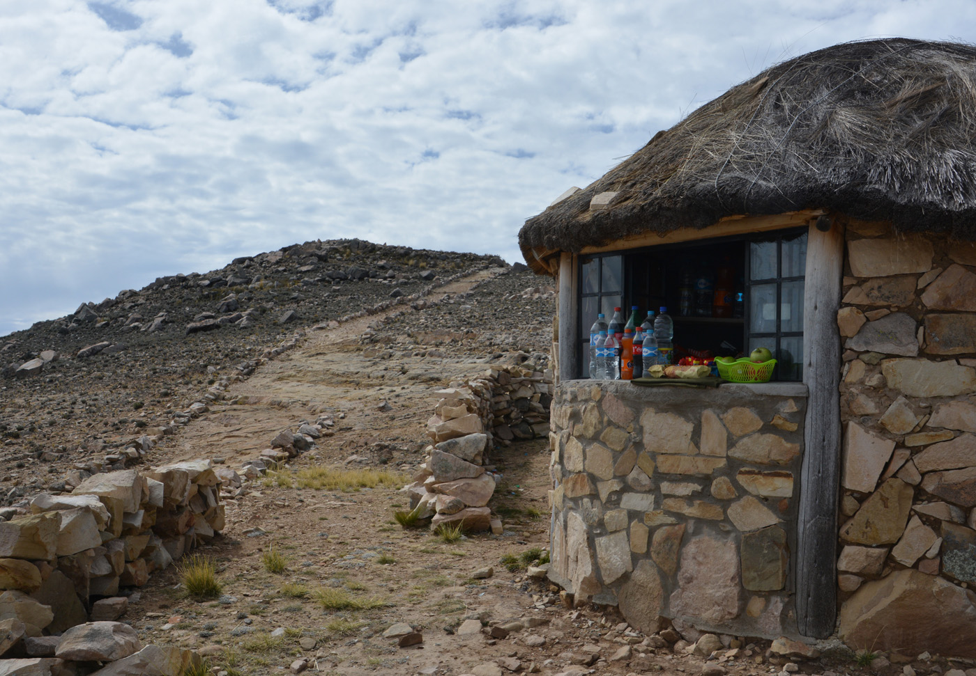
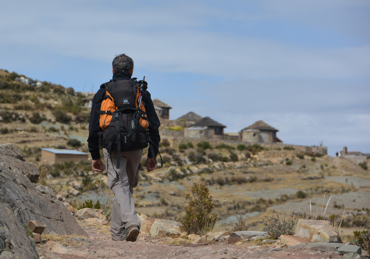
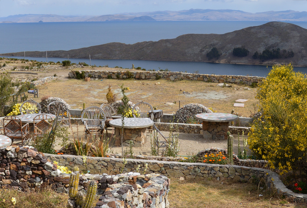
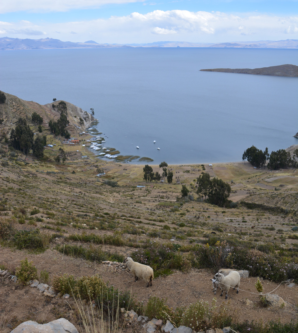
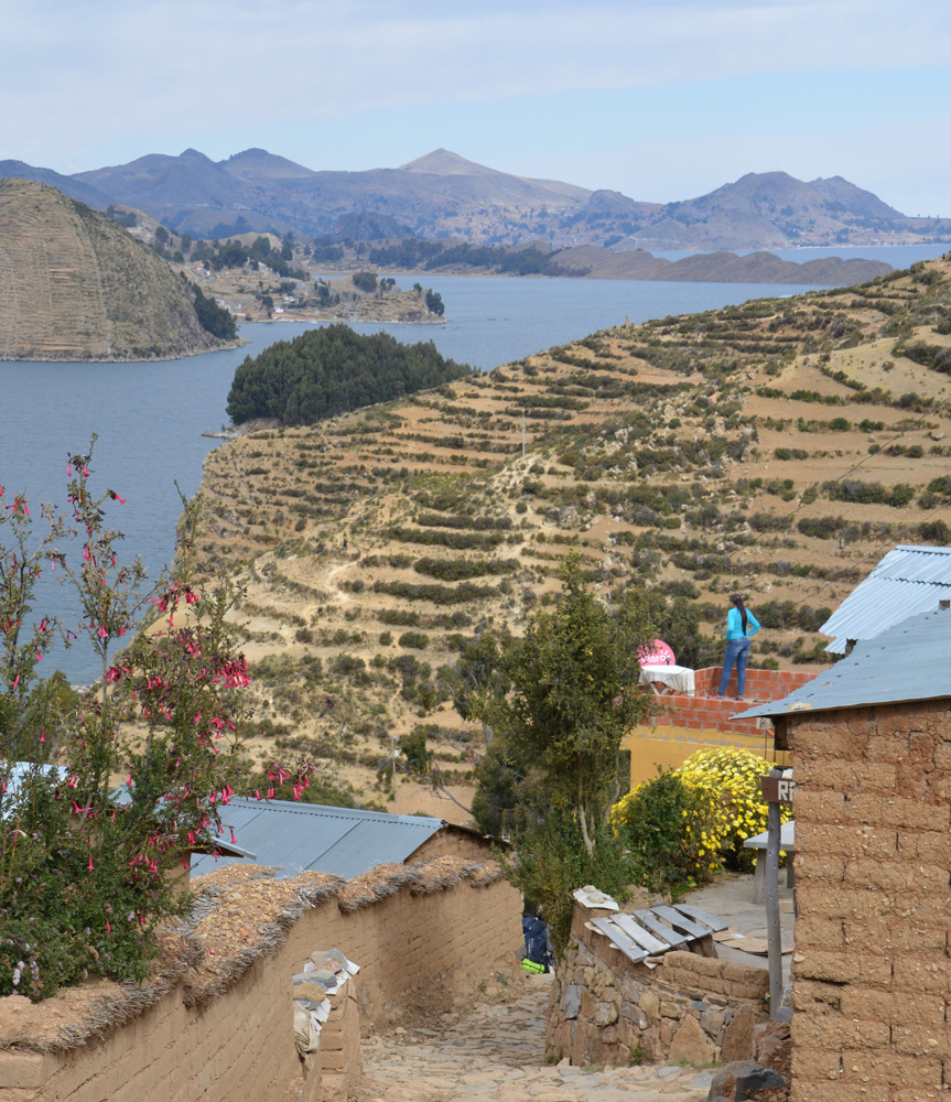
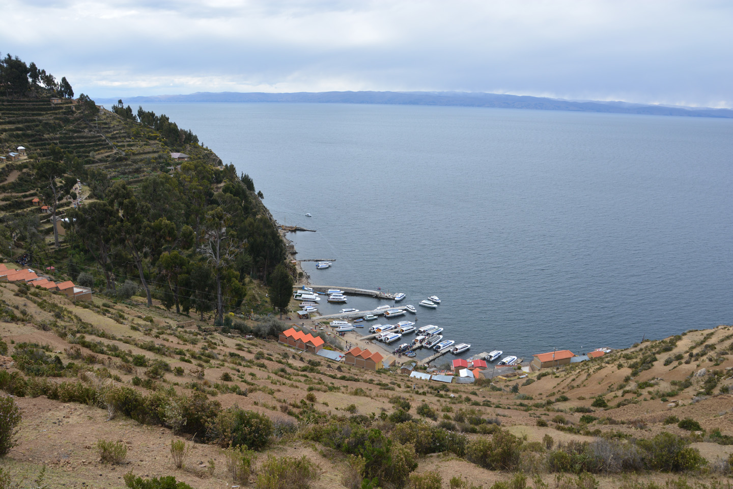
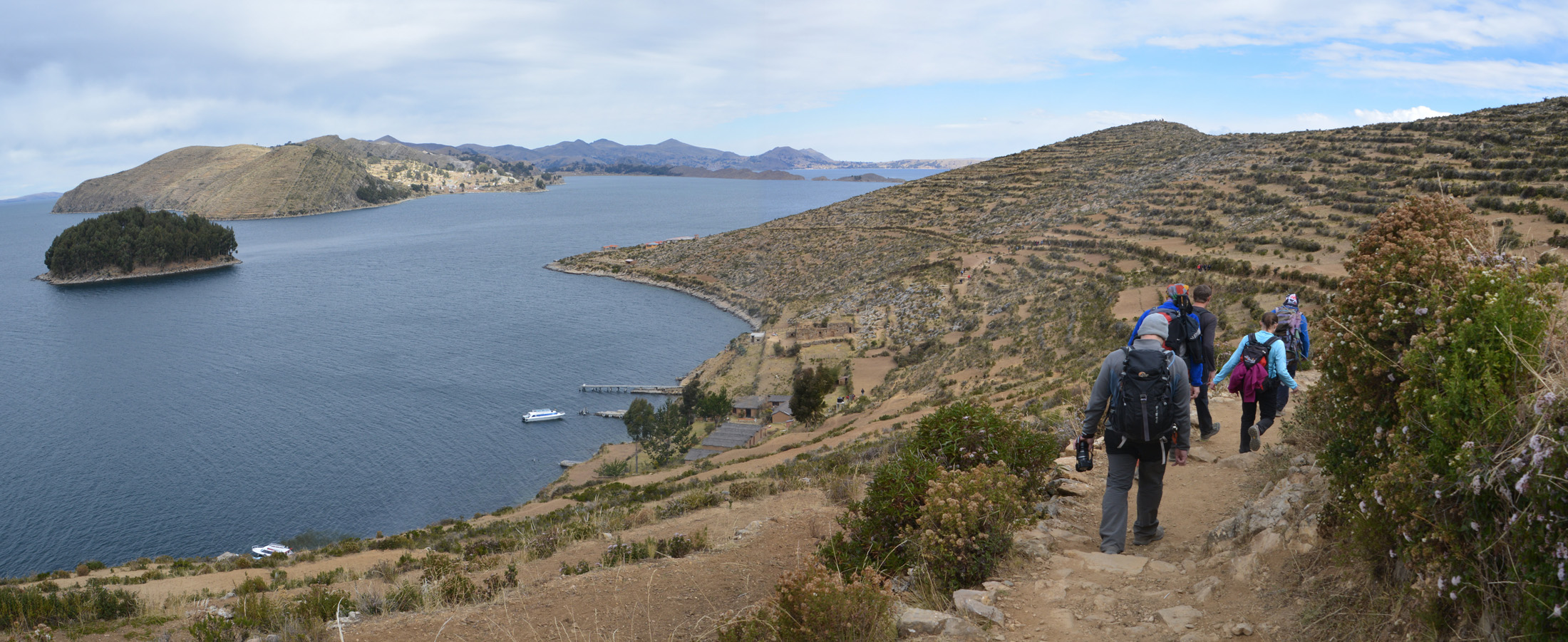
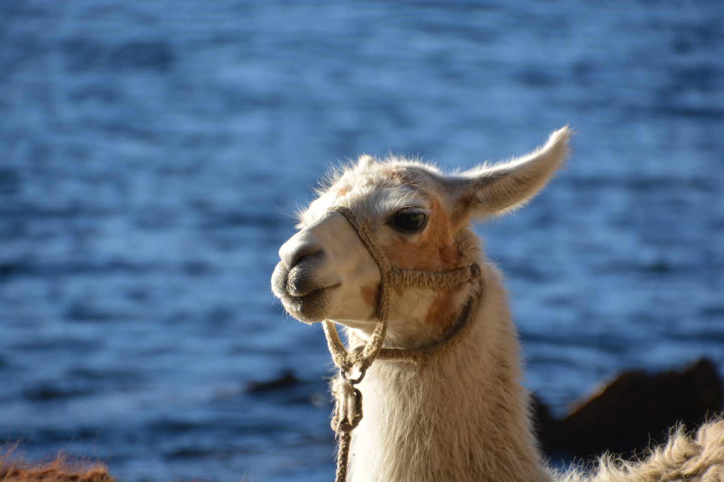
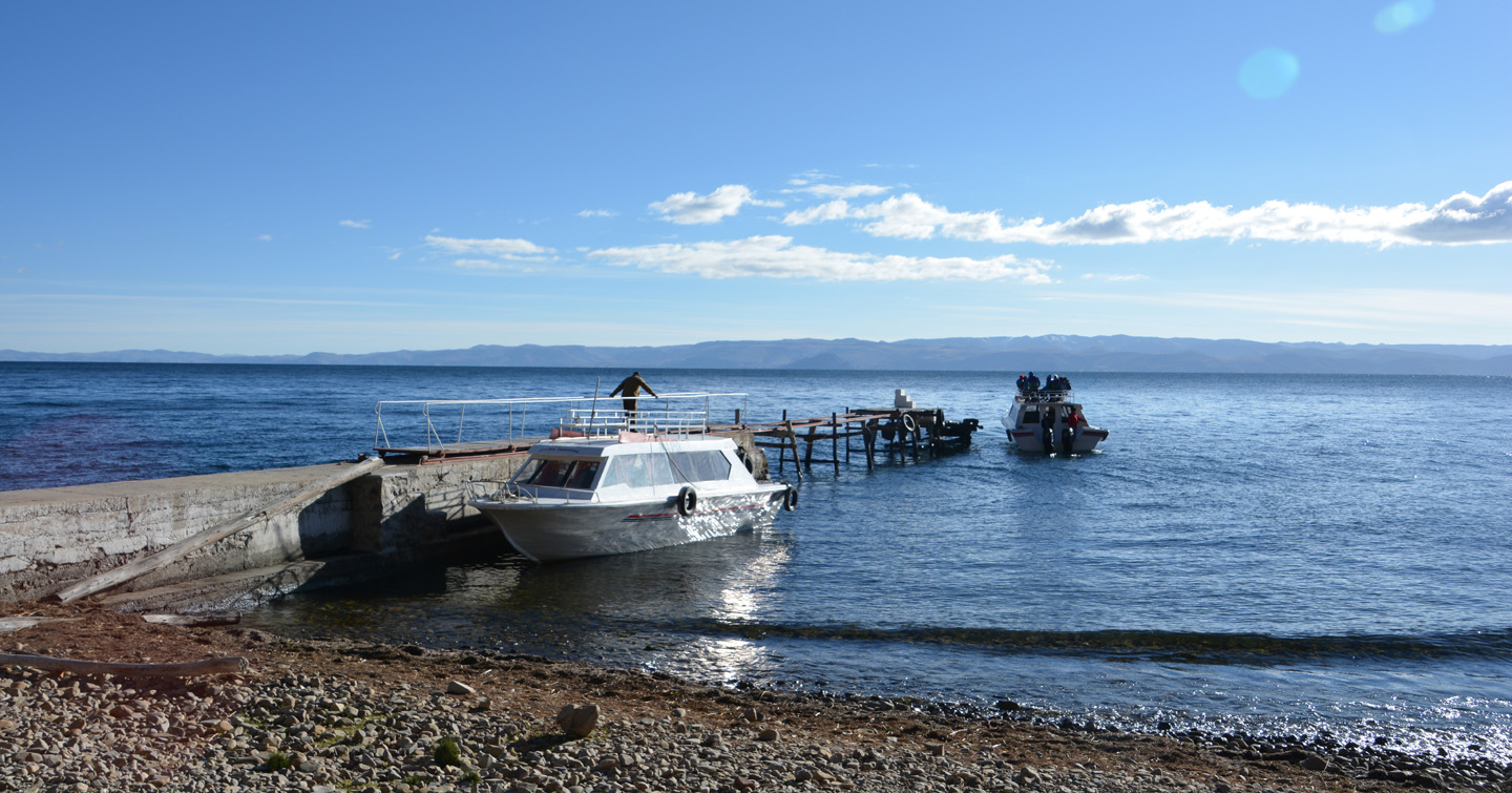
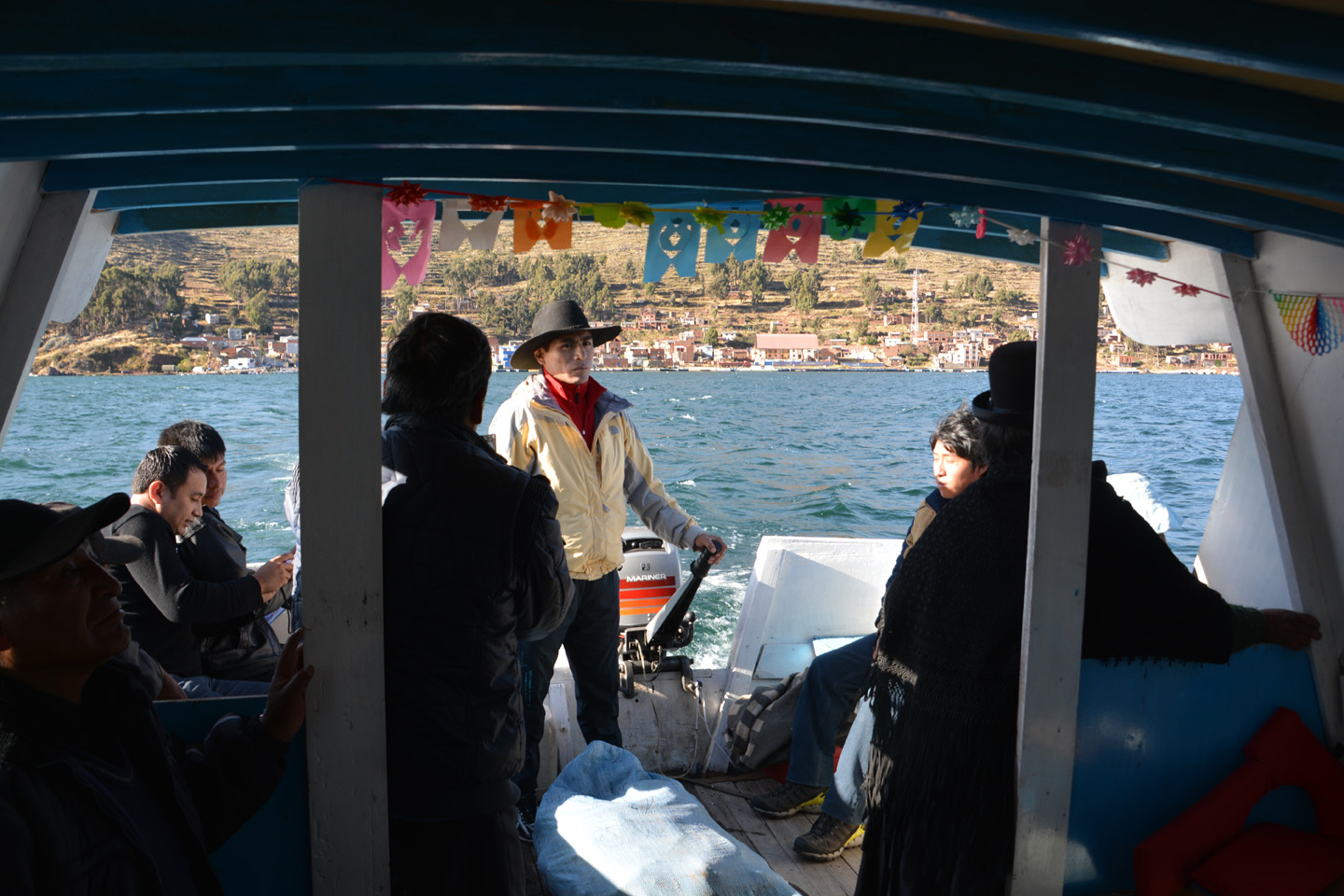
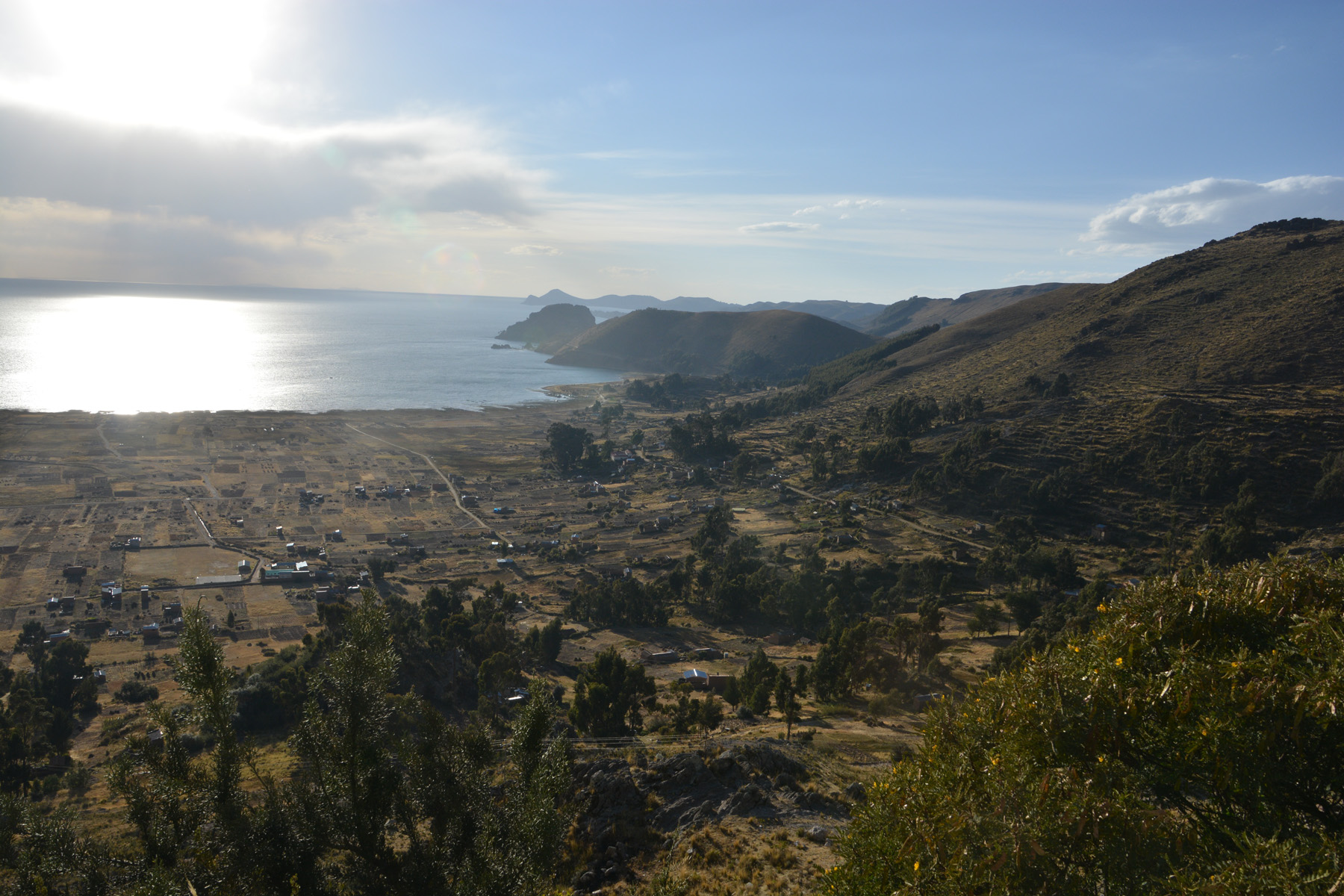
Lac Titicaca – Isla del sol
Nous poursuivons notre acclimatation à l’altitude en allant passer la journée et la nuit sur l’île du Soleil. Le lendemain, un petit saut sur l’île de la Lune, avant de quitter la région du lac Titicaca.


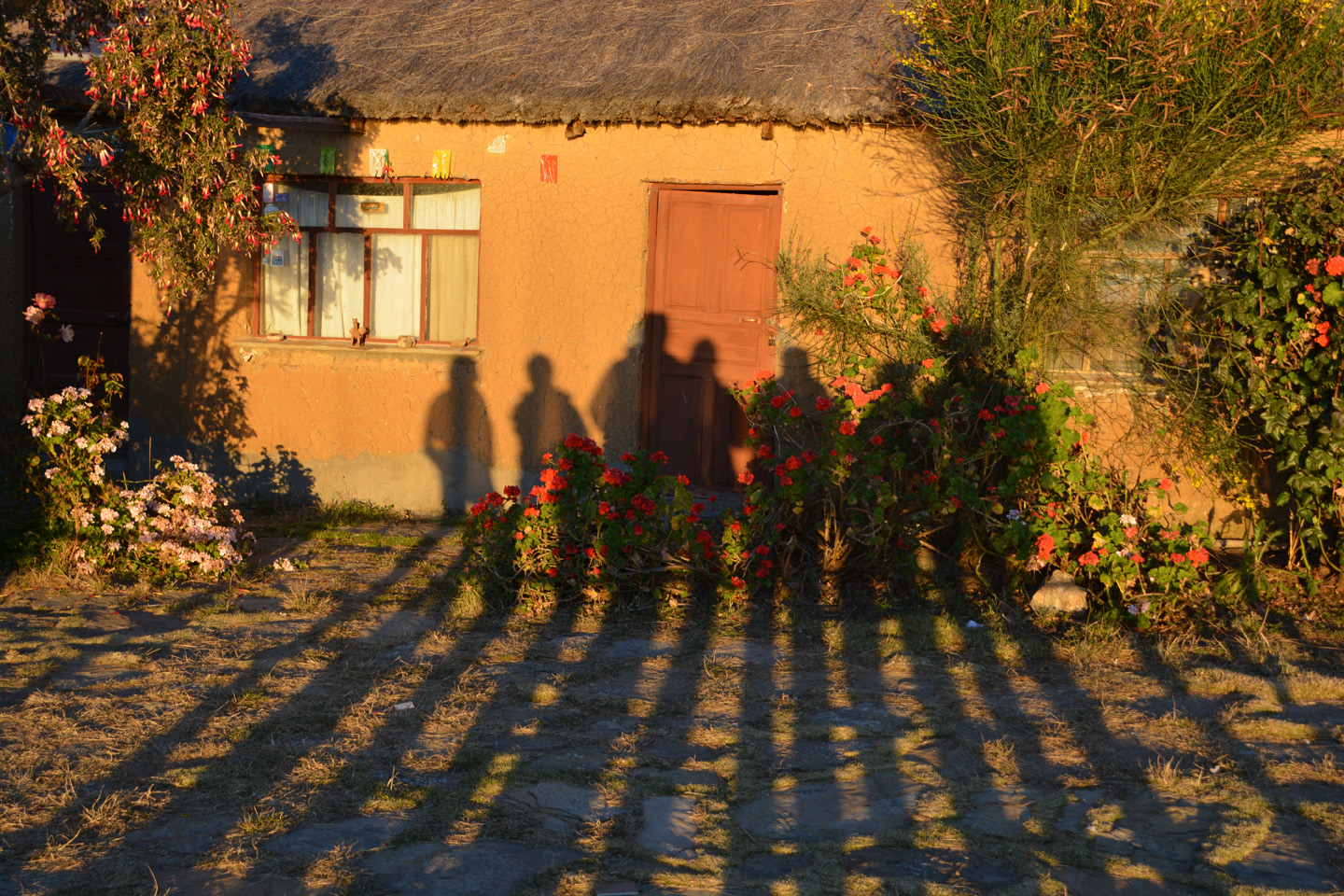


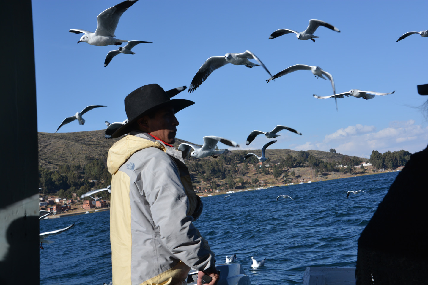
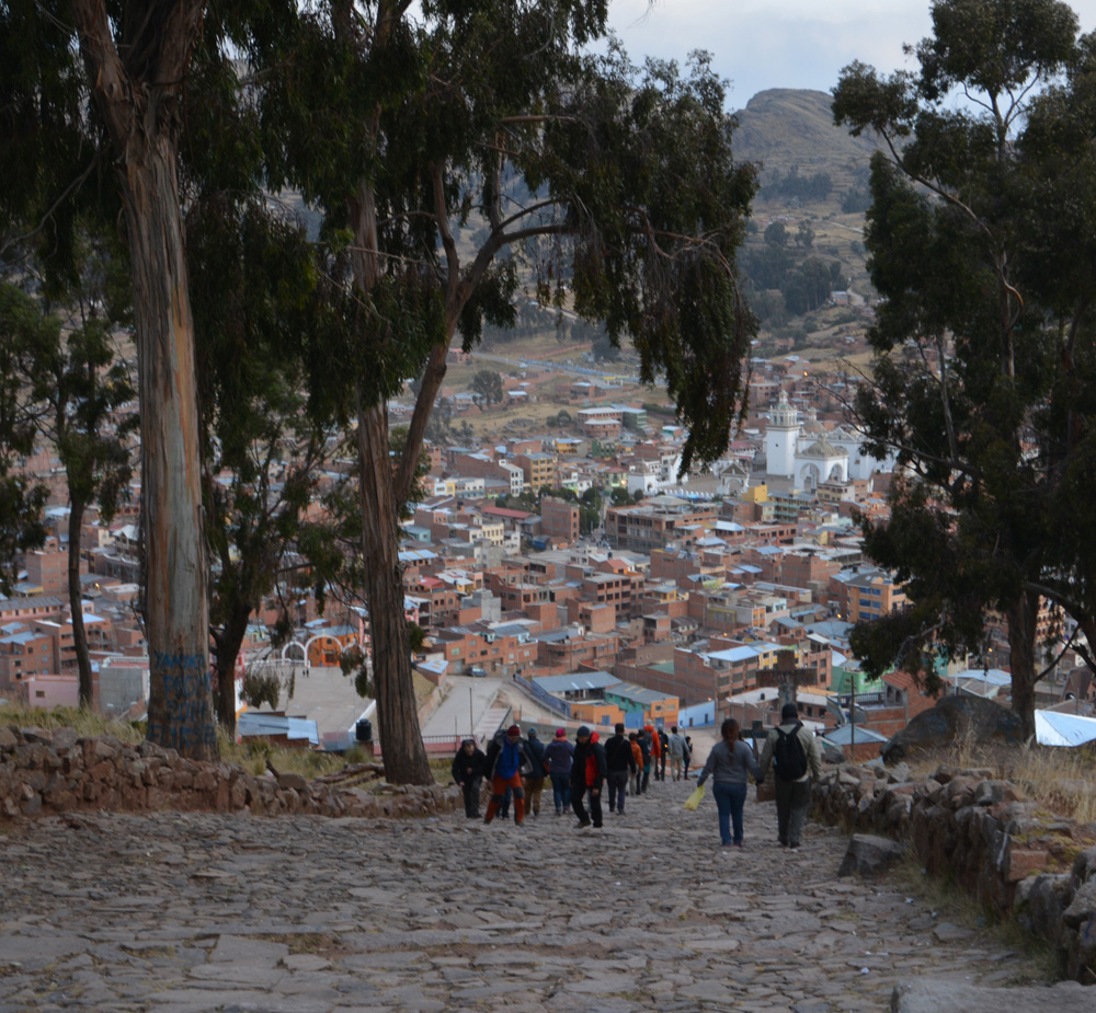
Lac Titicaca – Copacabana
Notre première sortie nous mène au lac Titicaca, au nord de La Paz. situé à 3812m d’altitude, ça fait déjà un bel endroit pour aller s’acclimater. On reste du côté bolivien de la frontière (pas d’îles flottantes, elles sont du côté péruvien), on va d’abord à Copacabana, un important lieu de pèlerinage pour les gens de La Paz.
.")
")

")


")


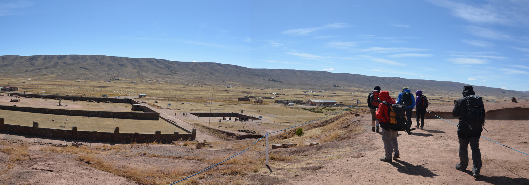
Tiwanaku
Depuis La Paz et avant de rejoindre le lac Titicaca, nous allons visiter un site archéologique important, la Cité du Soleil. On y retrouve les traces de la civilisation pré-inca de Tiwanaku (Ve siècle au XIe siècle).

")
, près de La Paz. Un sommet que l'on tentera dans une semaine.")
, après la visite du musée (glacial).")


")


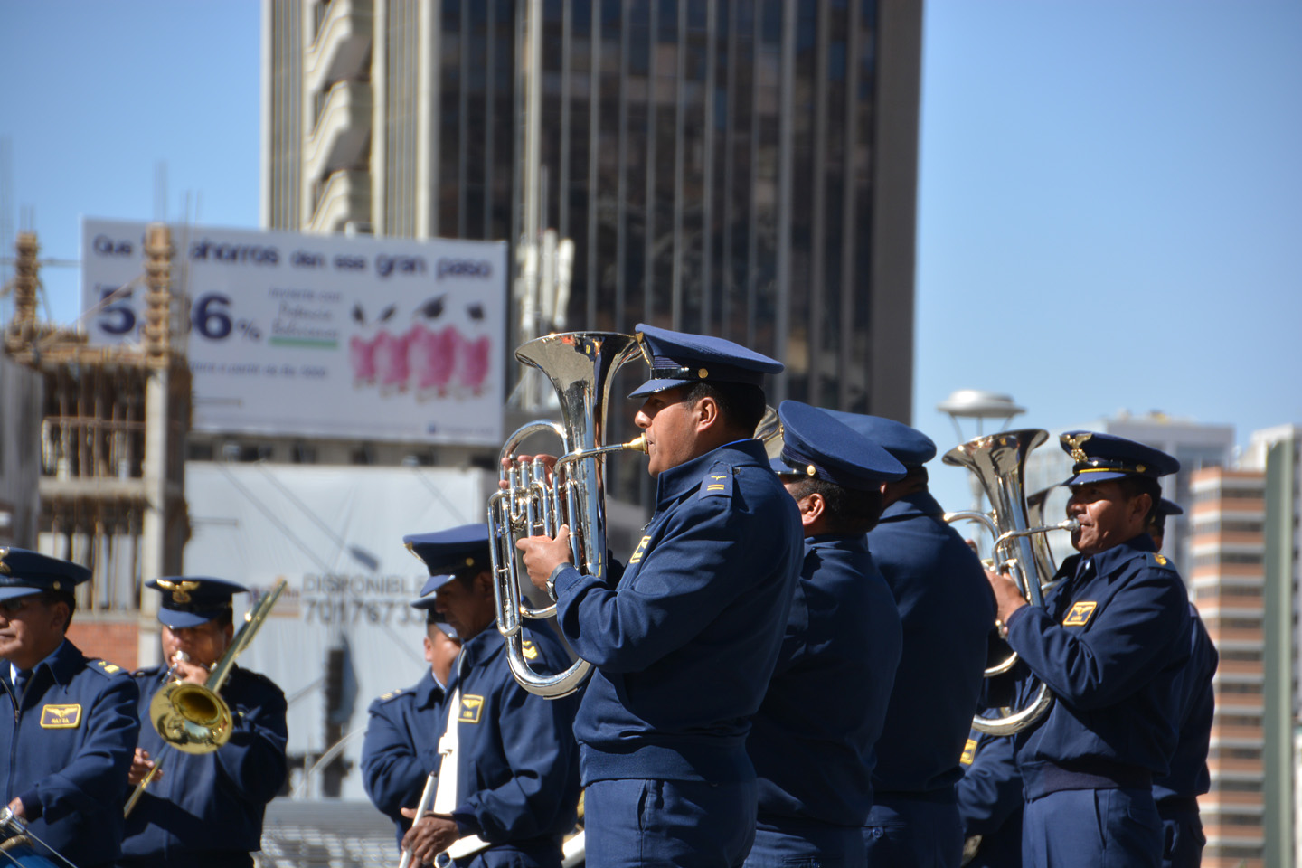
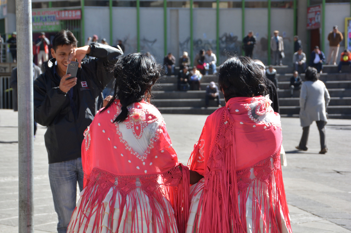
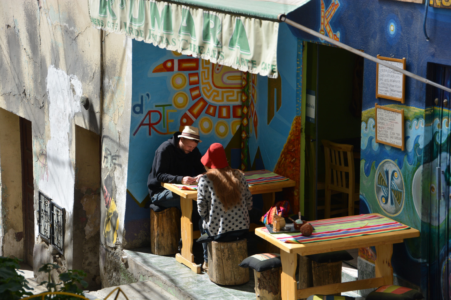
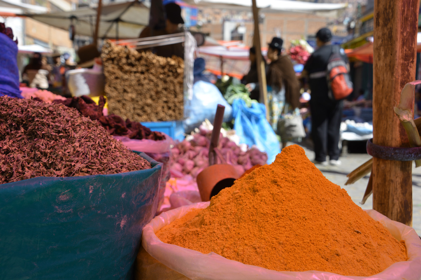
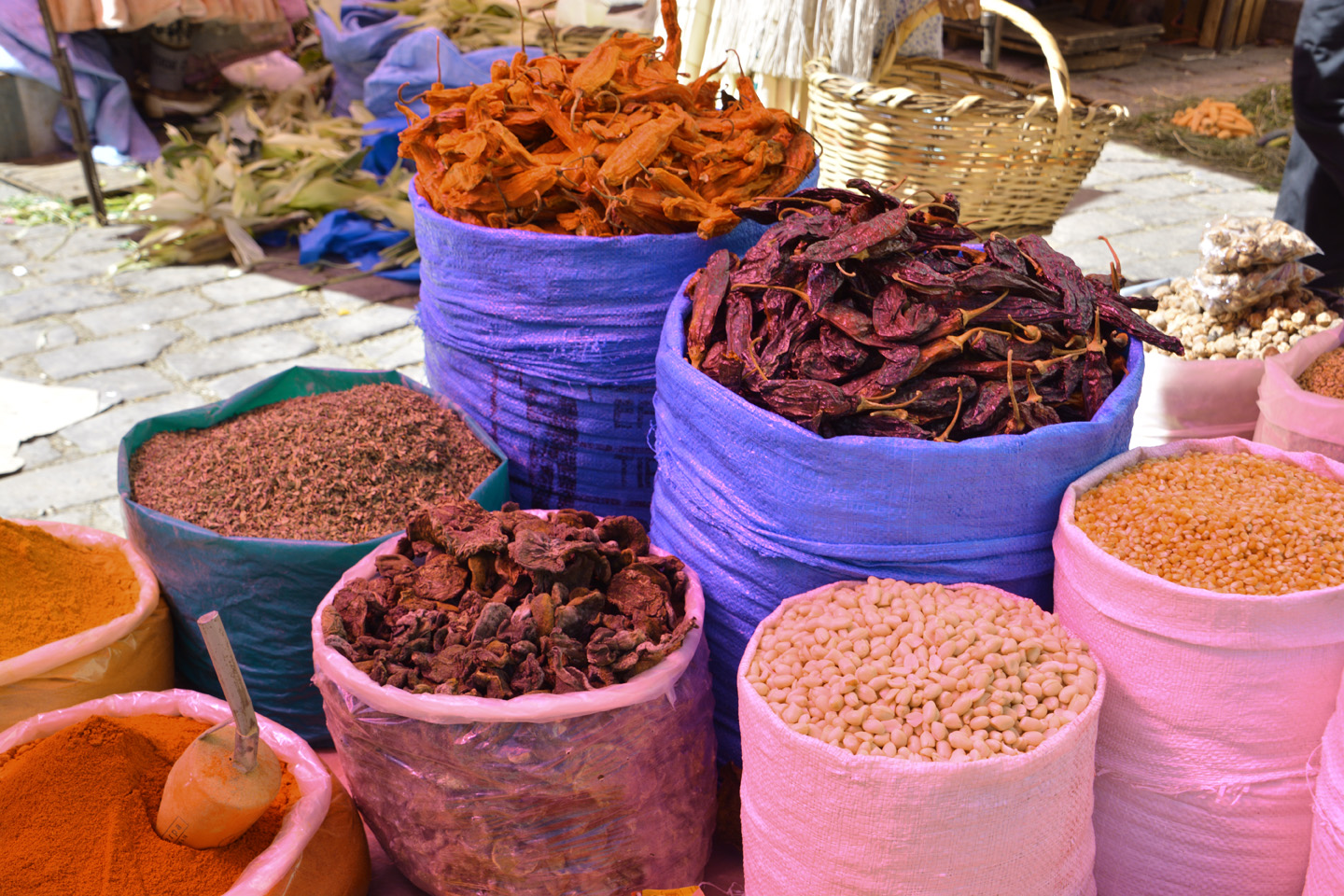
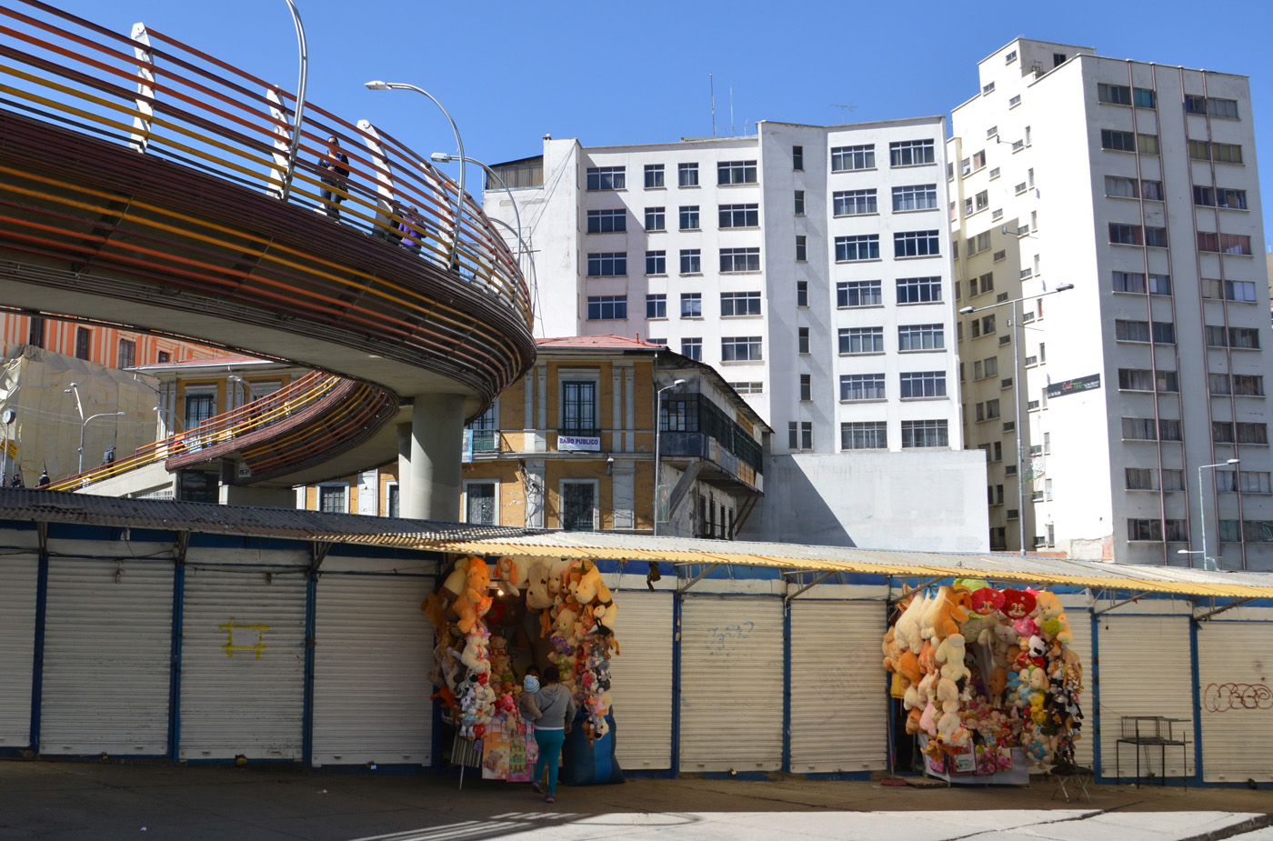
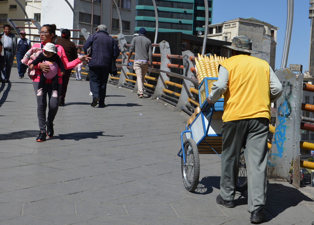
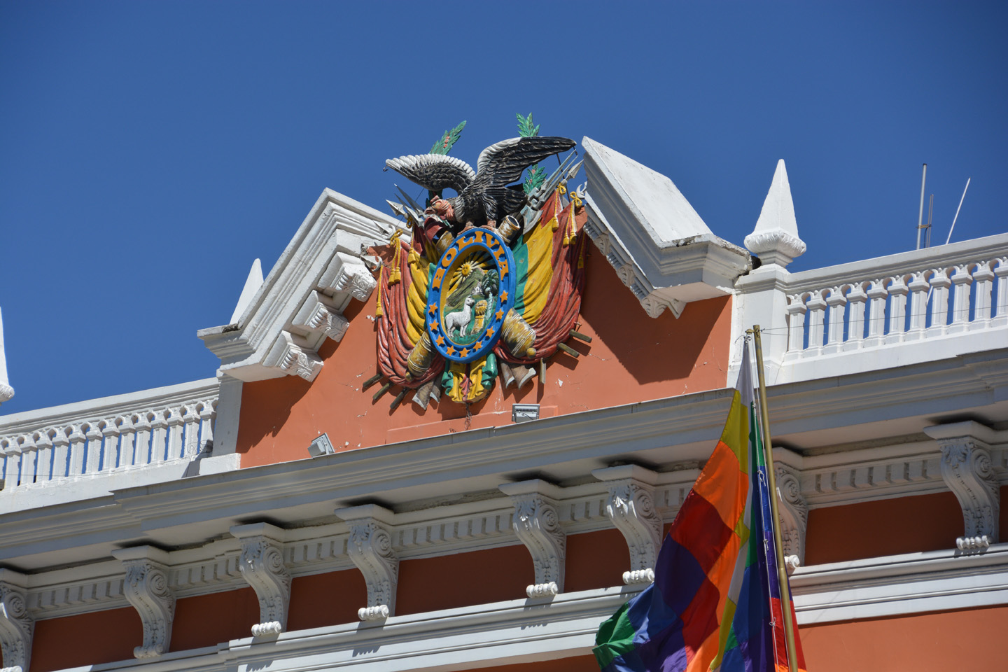
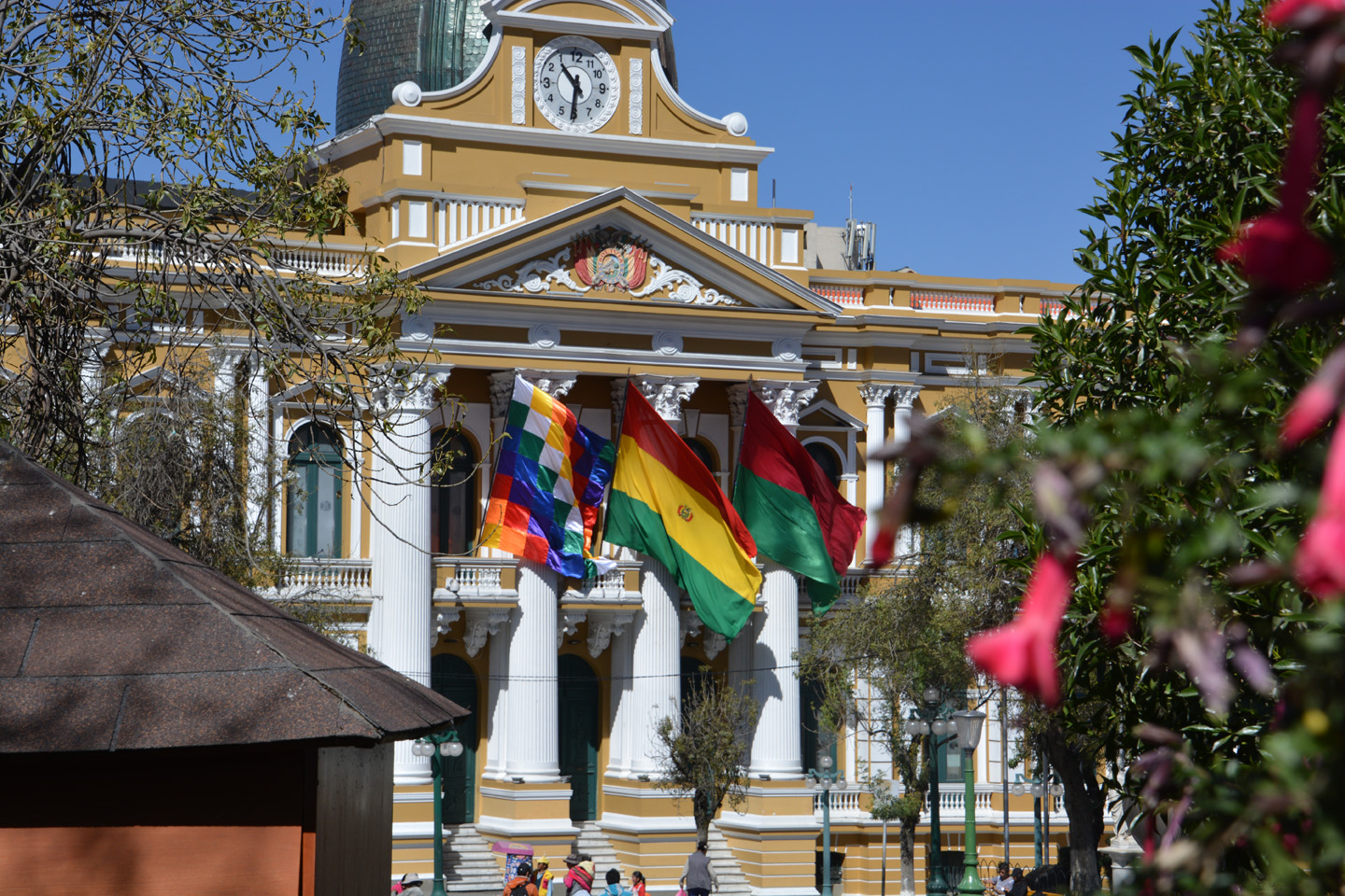
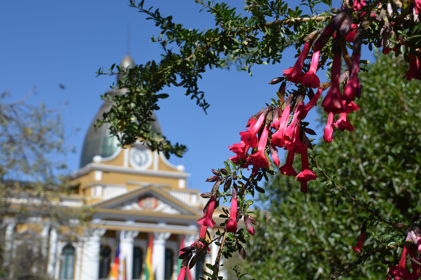
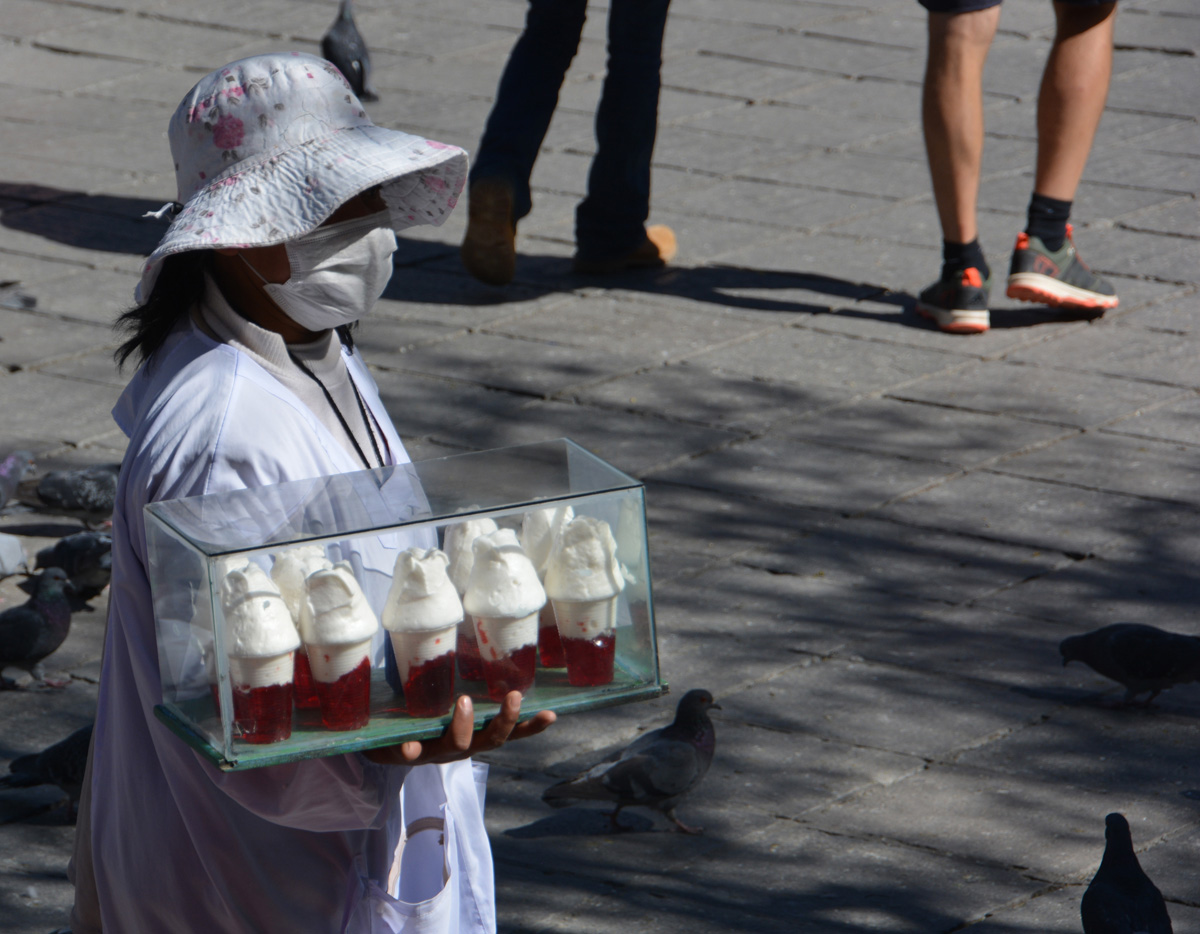
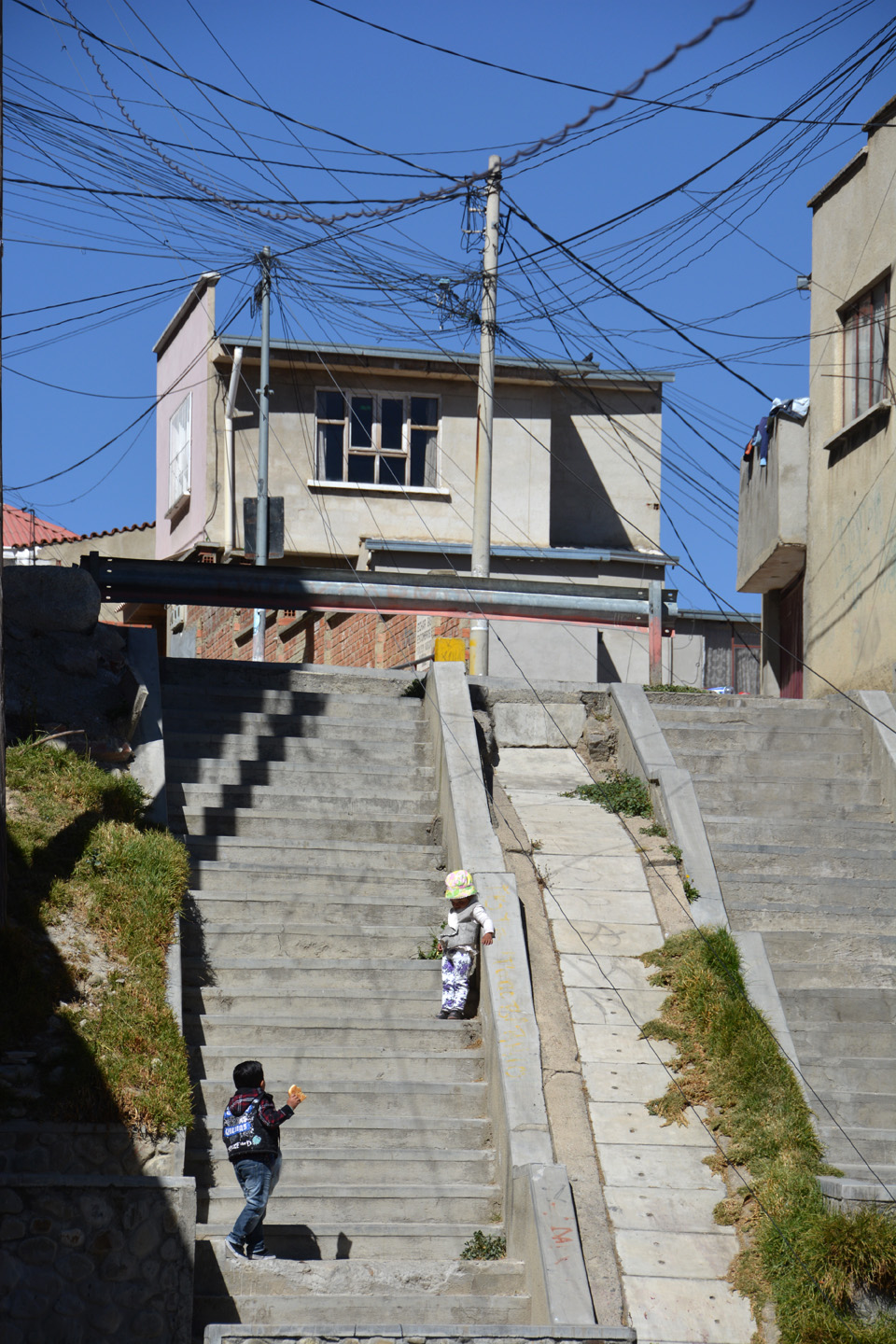
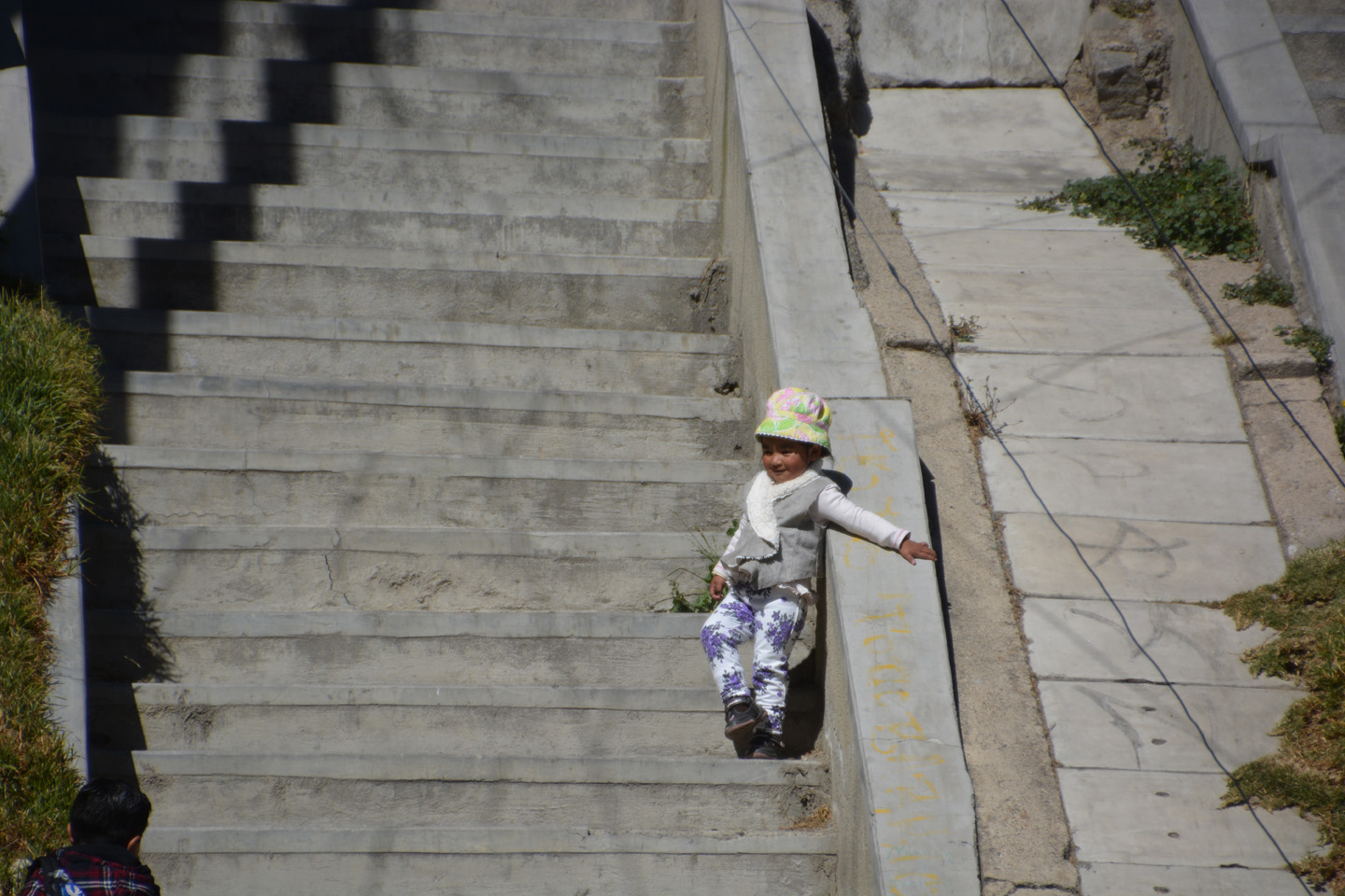
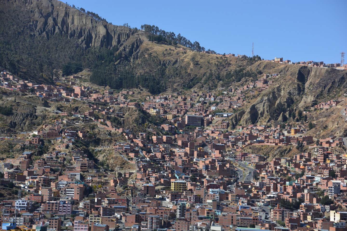
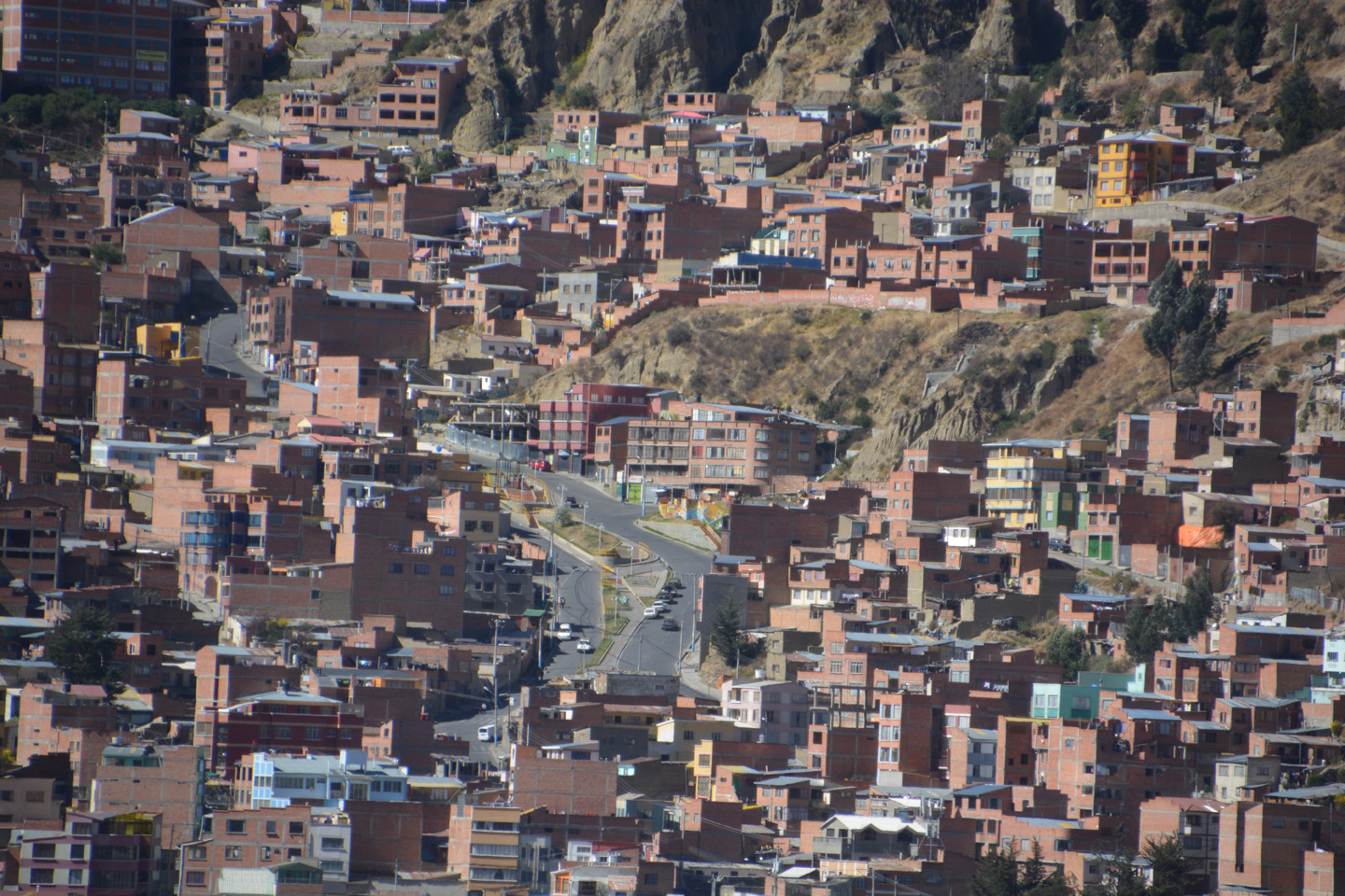
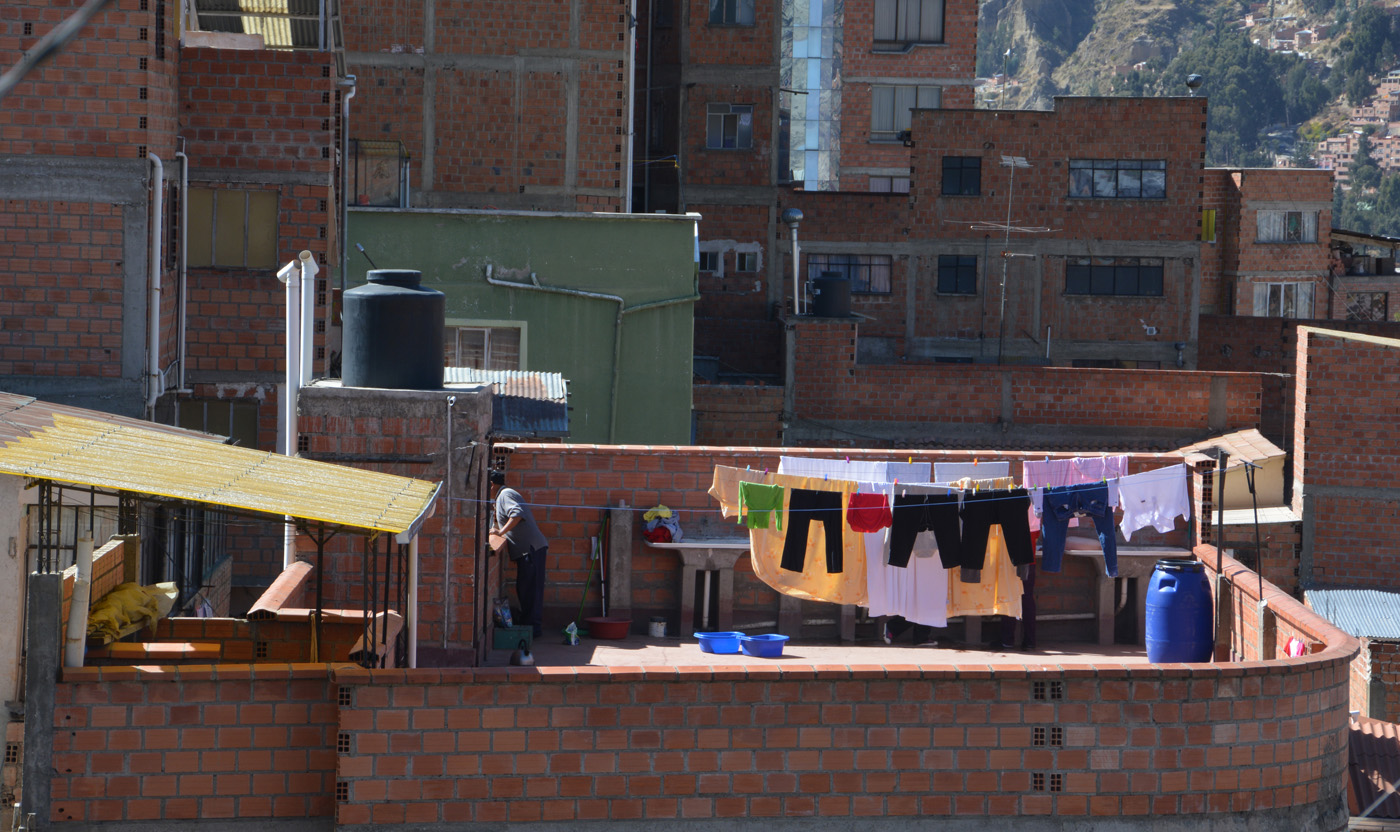
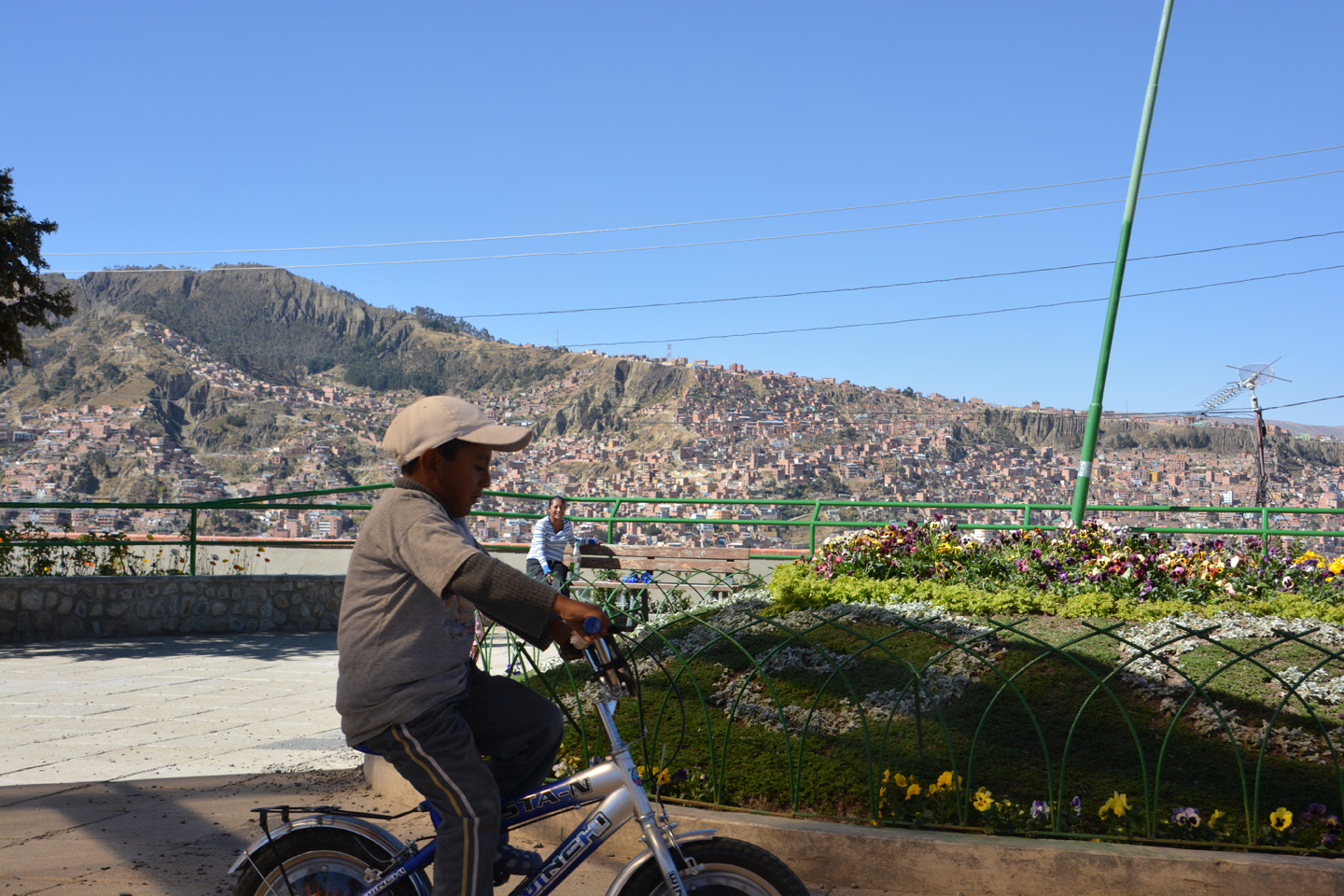
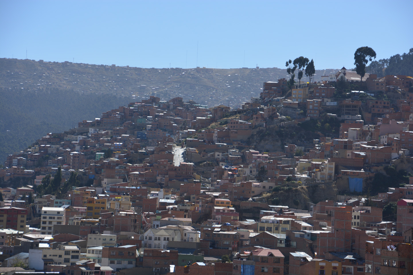
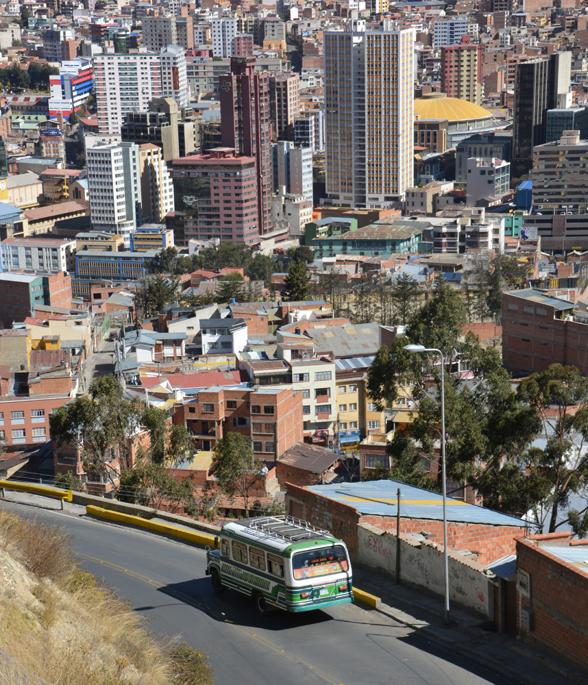
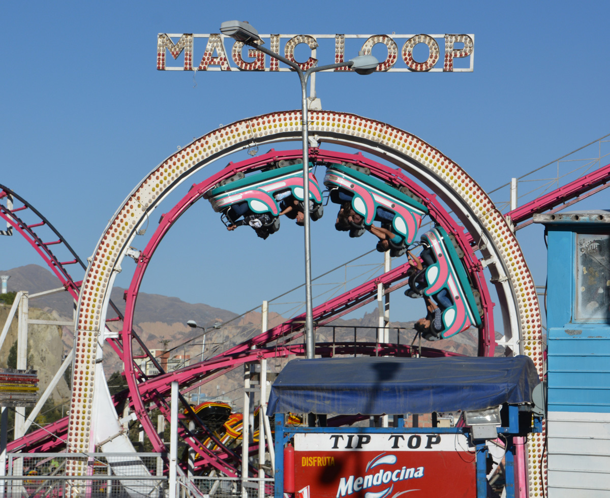
La Paz
Avec sa géographie particulière, La Paz sort de l’ordinaire. C’est une ville qui demande quelques temps à être apprivoisée. Plutôt chaotique, mais pleine de vie. On ne vient pas en ville pour les trésors architecturaux ou les édifices historiques, mais plutôt pour voir vivre les gens. Étant arrivé une journée plus tôt que tout le groupe, j’ai ai profité pour parcourir des kilomètres dans la ville, en observateur.
Voici donc une série de photos prises au gré de cette promenade d’une journée dans La Paz…


")


")


")


, plusieurs autres sont déjà prévues.")


Bolivie 2015
Ça faisait déjà quelques années que je rêvais d’aller gravir le Sajama, le plus haut sommet de la Bolivie, à 6542m. C’était le but final de ce voyage, mais avant, un autre sommet important était au menu, l’Illimani, montagne imposante bien visible de La Paz (6439m). Entre ces objectifs ambitieux, la découverte de l’Altiplano, du lac Titicaca (côté Bolivien), de la métropole La Paz, et bien sûr, un long détour vers la Salar de Uyuni (il en valait la peine). En guise d’acclimatation, un trek de 4 jours dans la cordillère Royale, et l’ascension du Pequeño Alpamayo (5410m).
Un voyage avec un groupe international: 2 Français, 2 Suisses, un Italien et un Québécois. Nous avons aussi eu le plaisir de passer ces trois semaines avec les sympathiques guides Boliviens. Un voyage très exigeant physiquement, mais heureusement avec des périodes de récupération bien planifiées. Mission réussie pour les trois sommets pour ma part! Voici les photos que j’ai pu rapporter. Enjoy!
Matériel photo:
– Nikon D5200, lentille TAMRON 18-270mm
– GoPro Hero 3+ pour les sommets.
Cliquez ci-dessous pour un ‘best of’:


