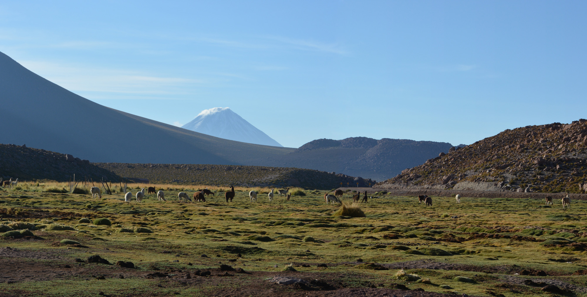
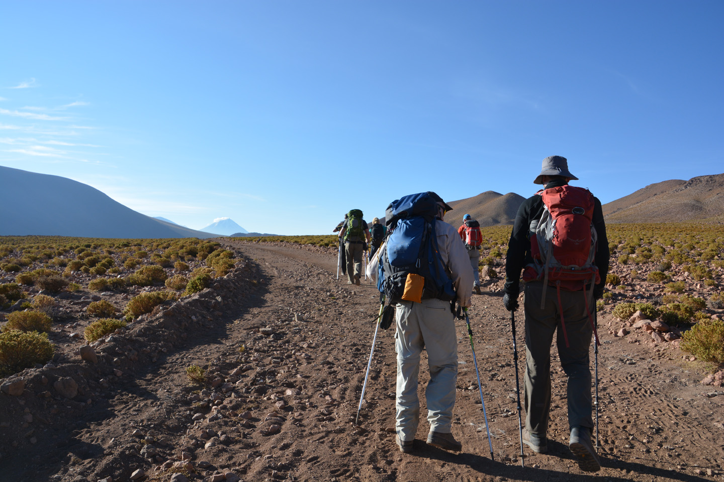
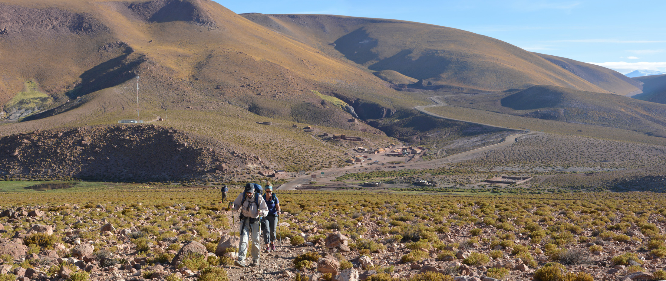
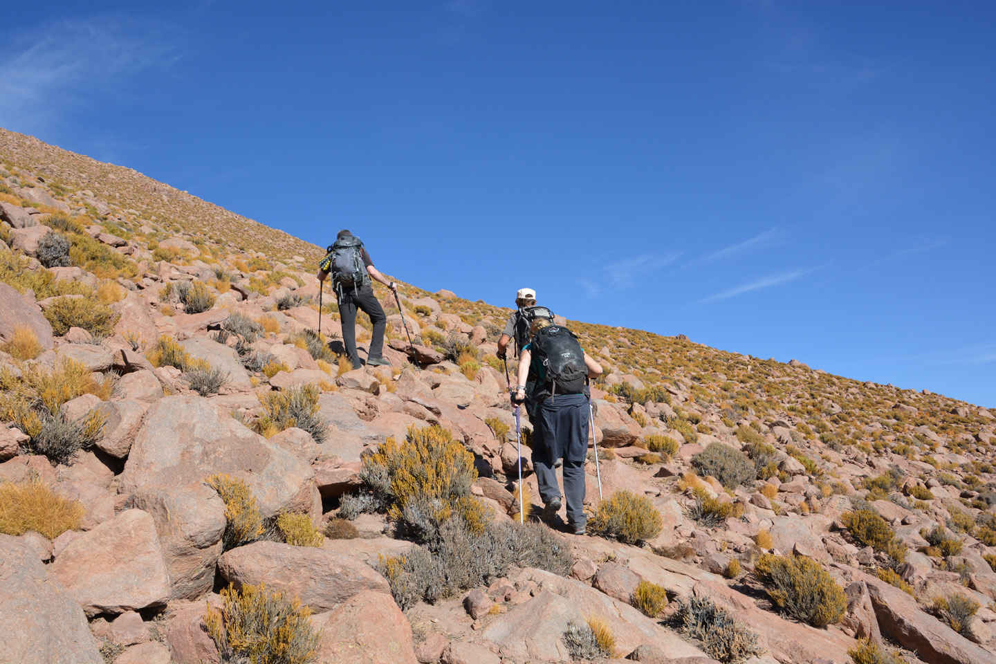
Acclimatation – Jour 4
Au départ de Machuca, nous effectuons l’ascension d’un petit sommet de 4500m. En fin de journée, transfert de notre campement vers un champ géothermique.


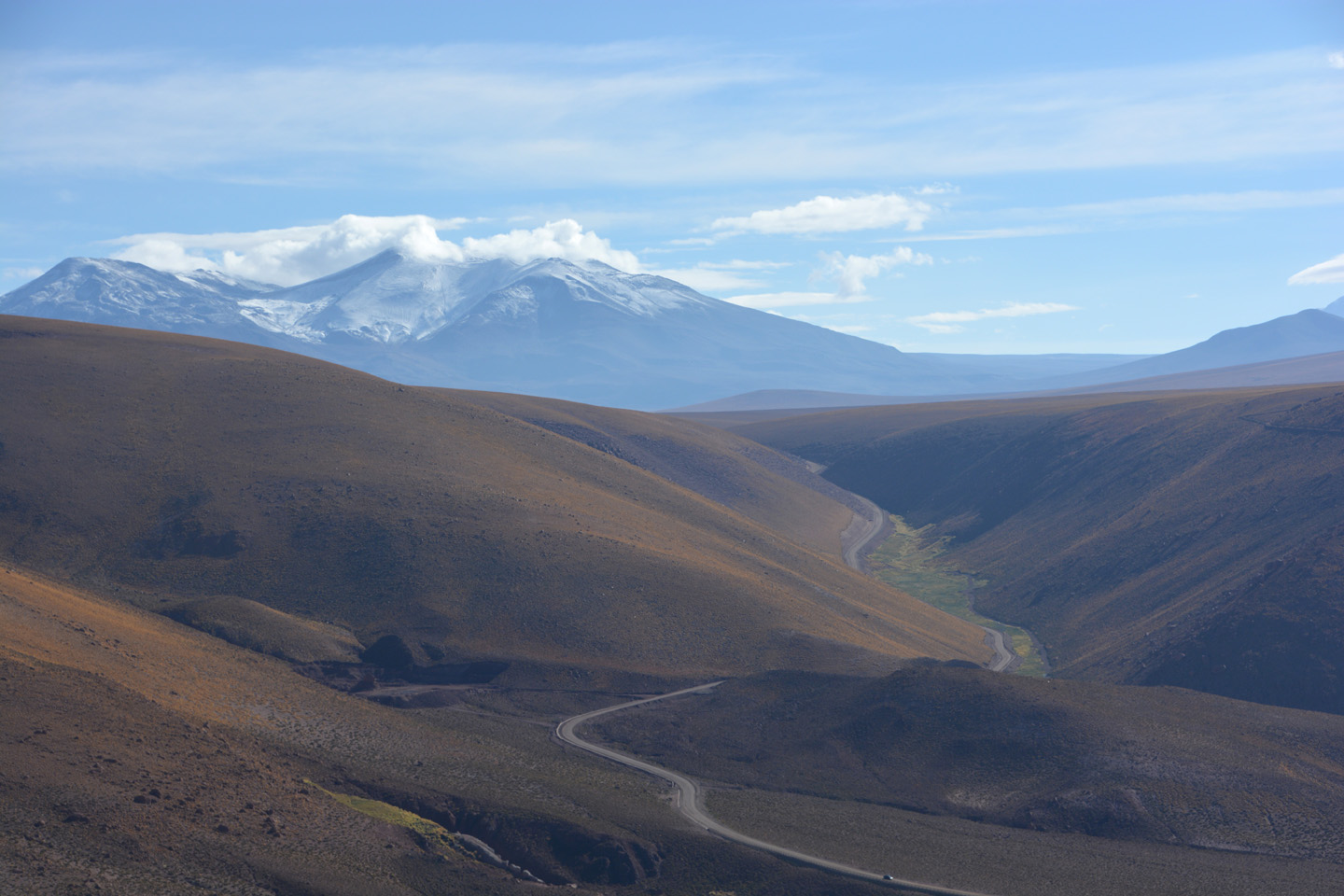
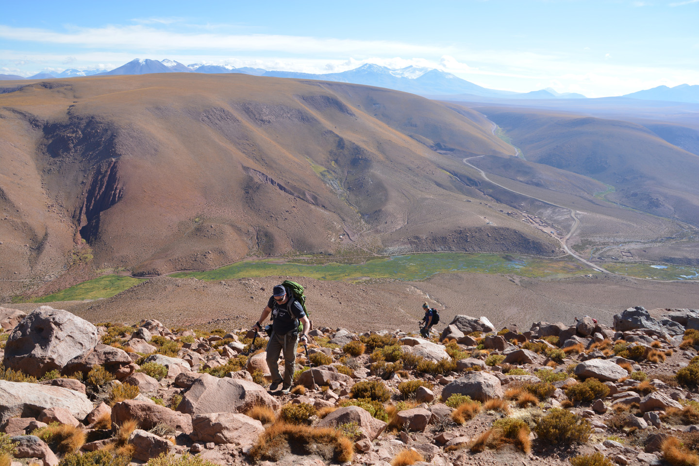

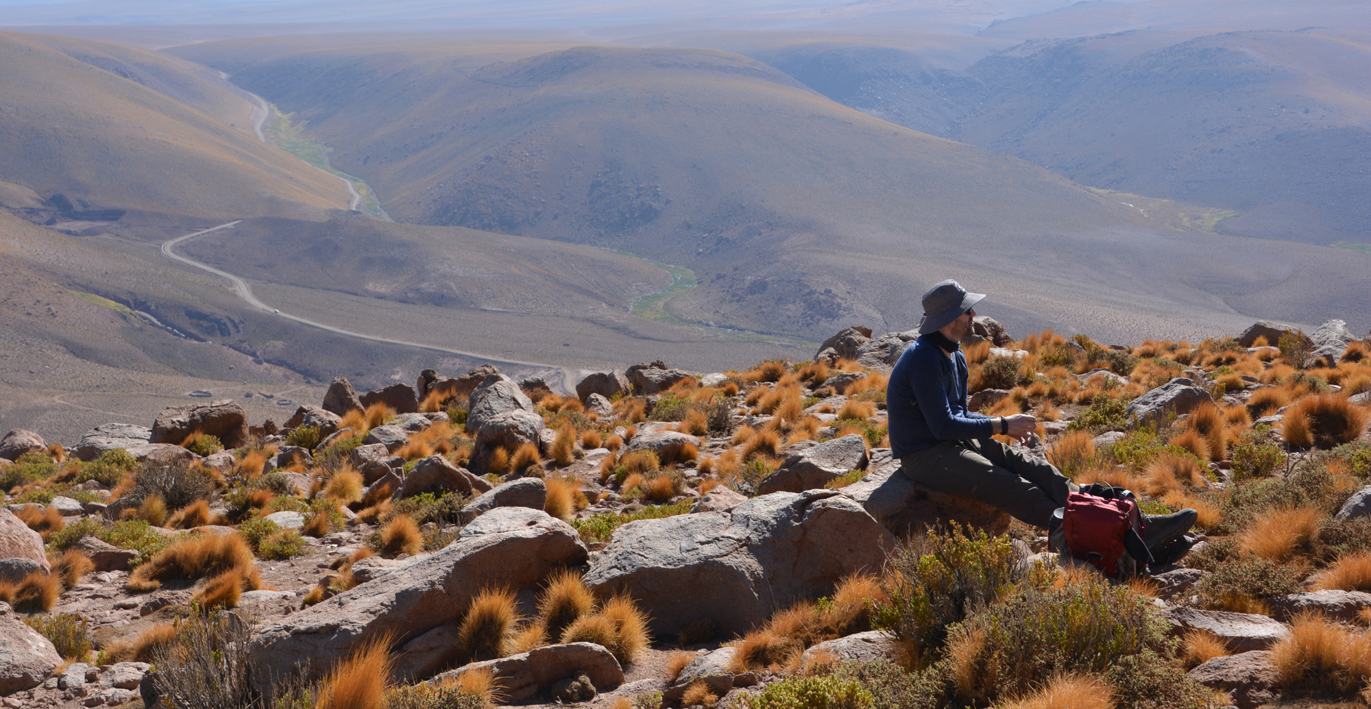


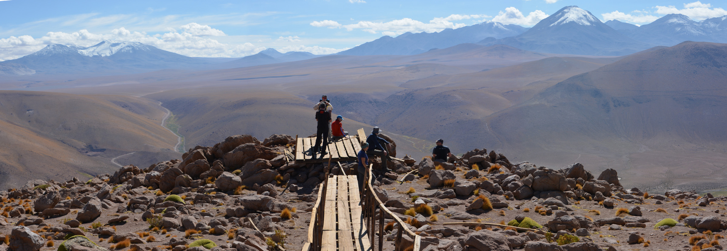


Au départ de Machuca, nous effectuons l’ascension d’un petit sommet de 4500m. En fin de journée, transfert de notre campement vers un champ géothermique.