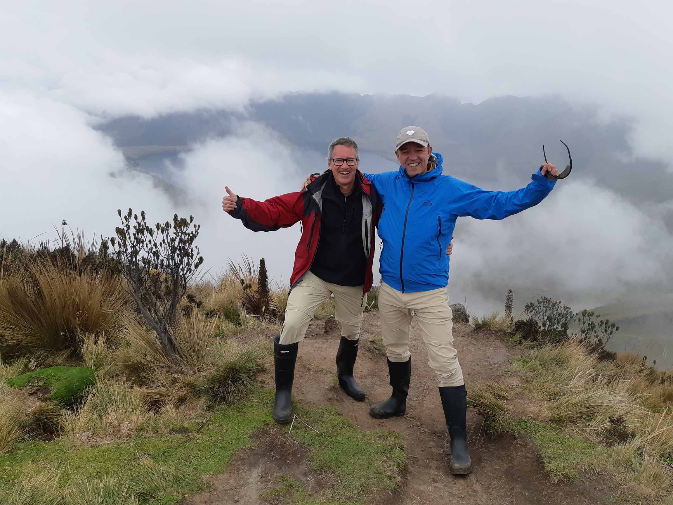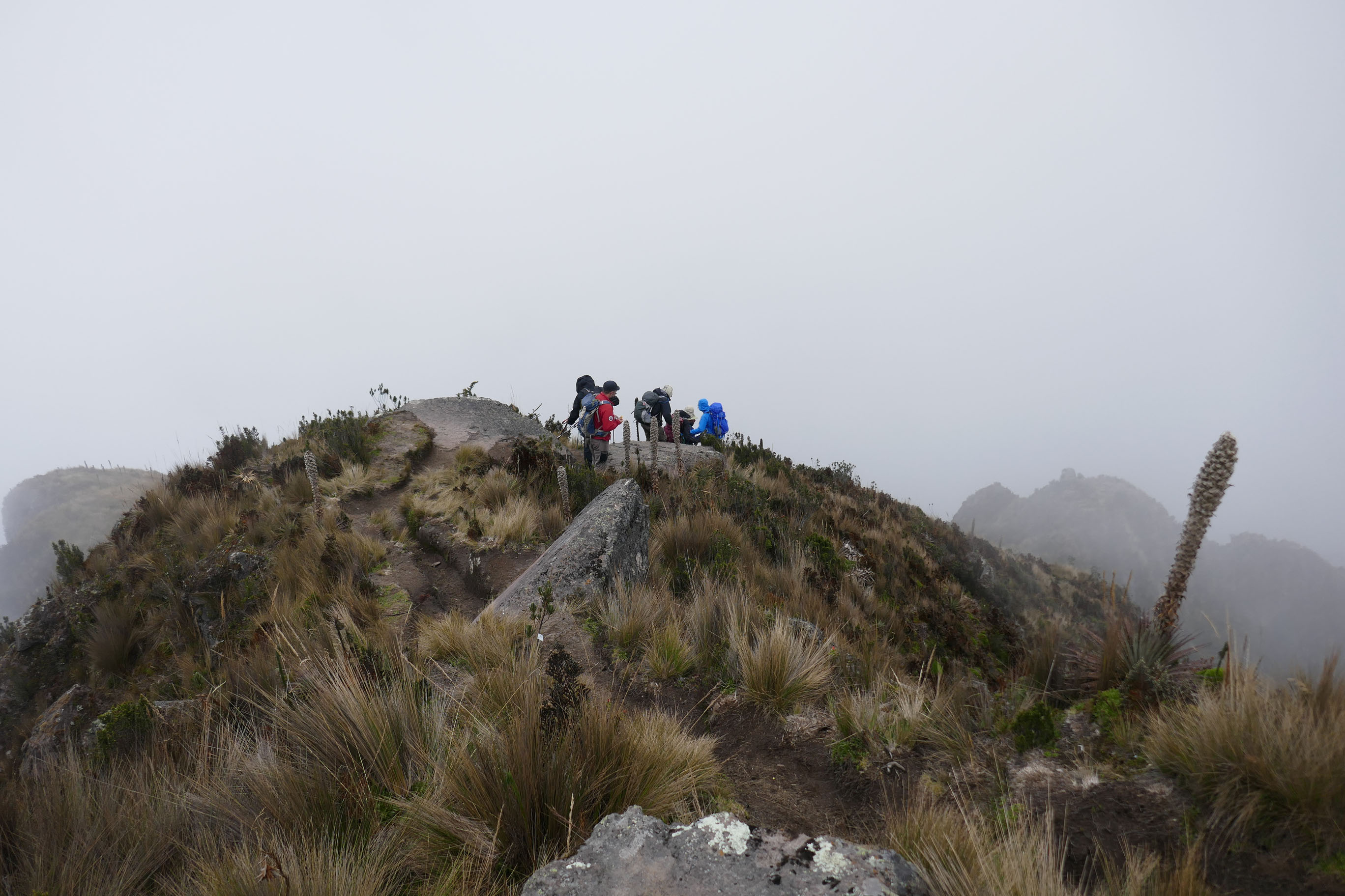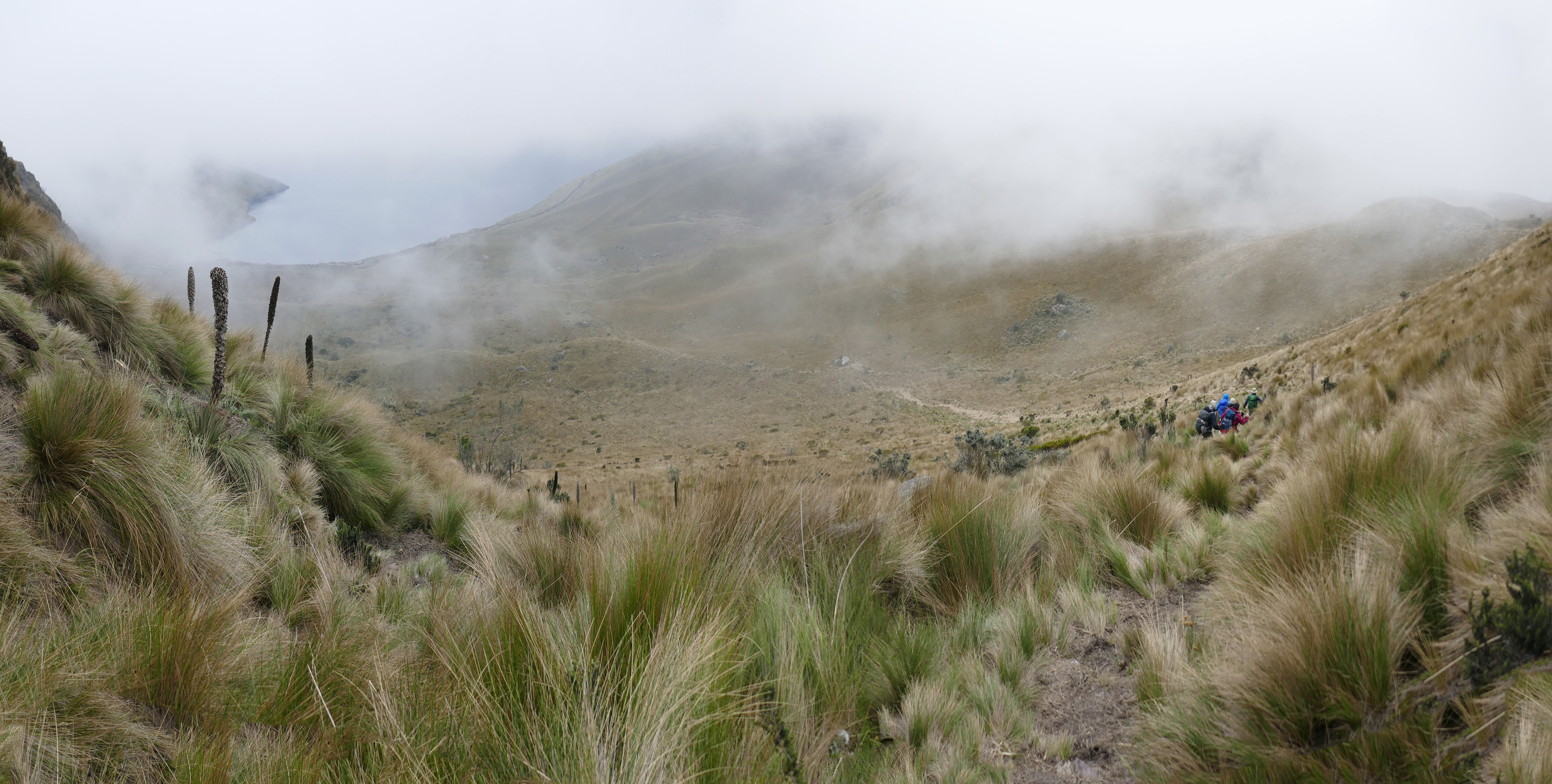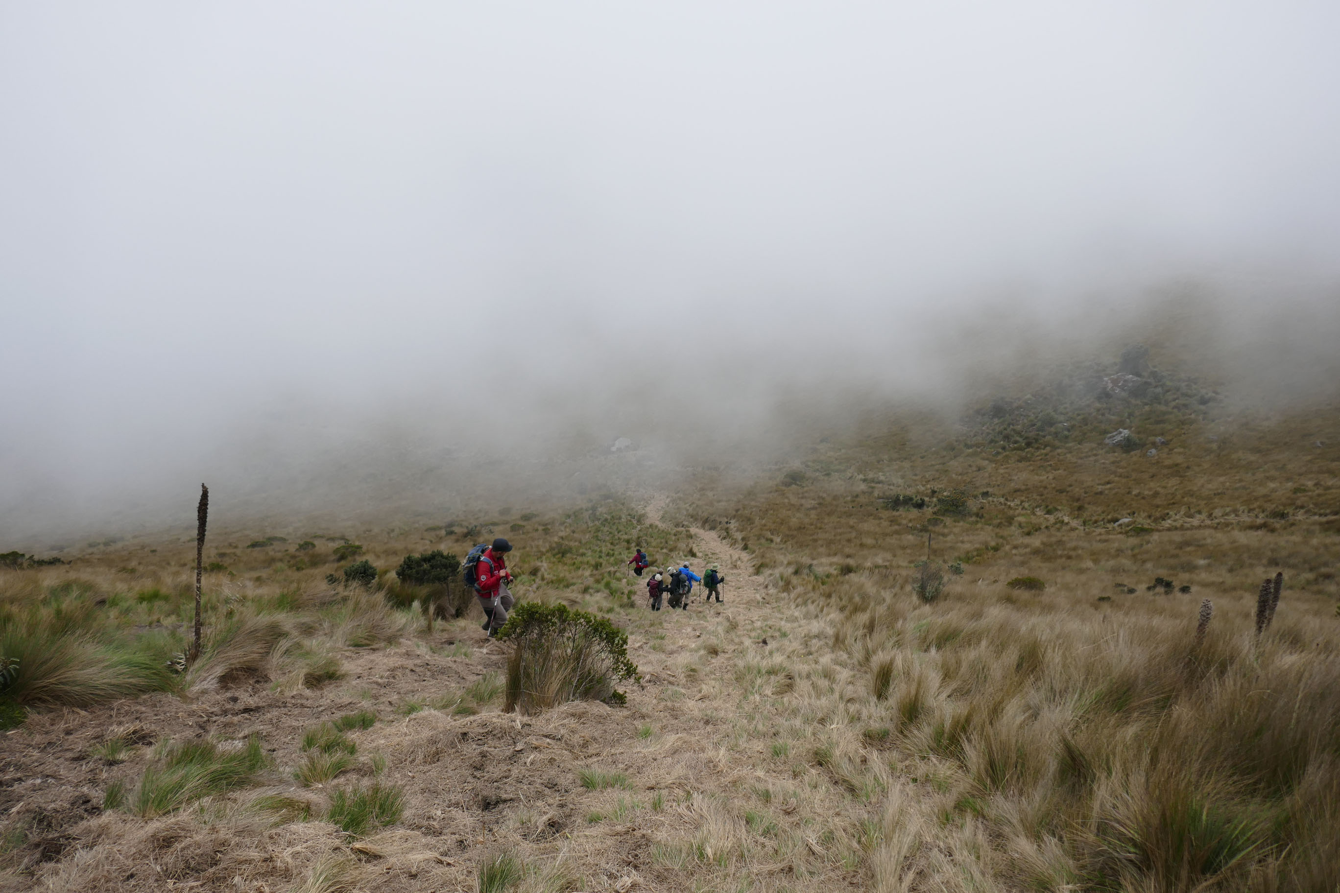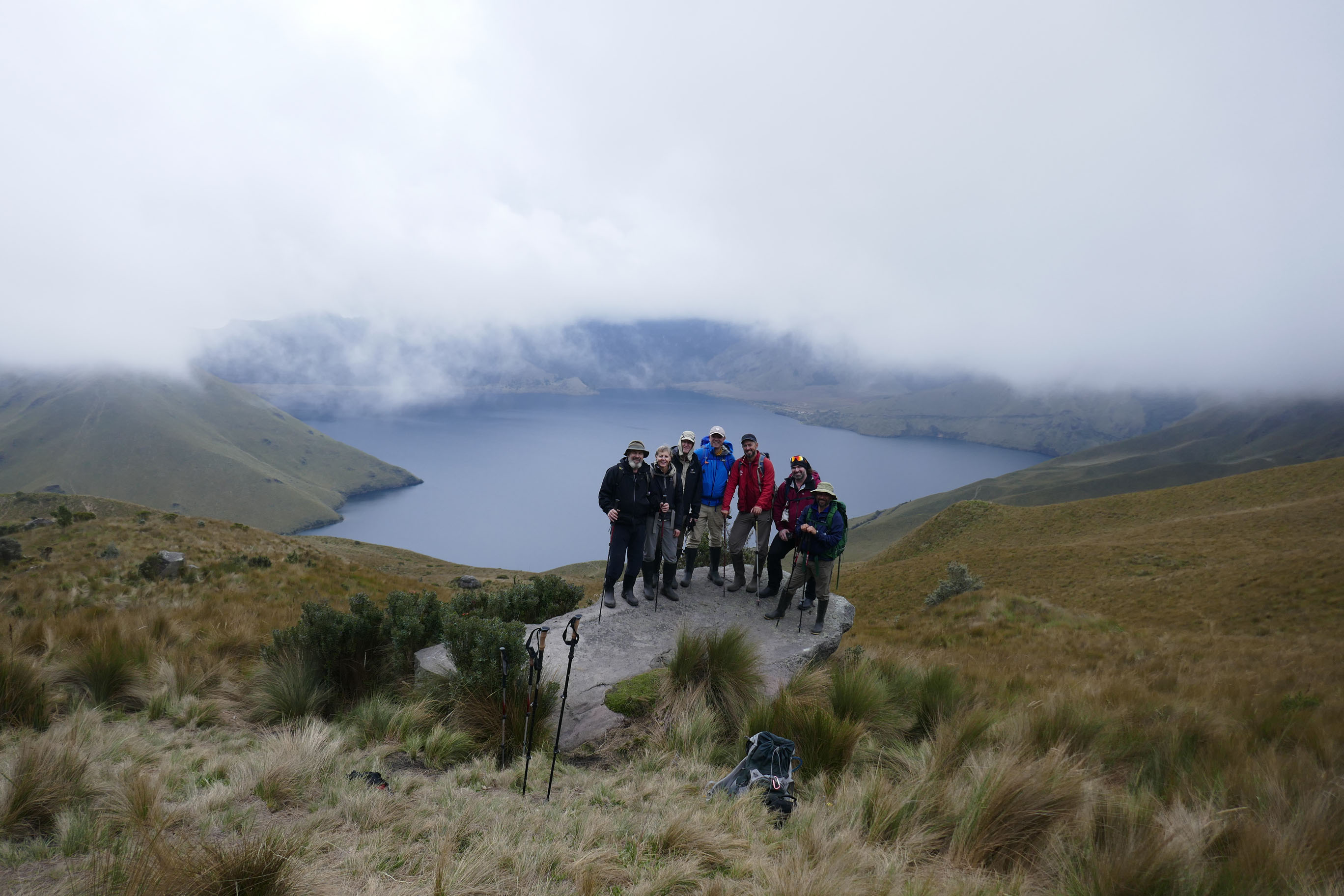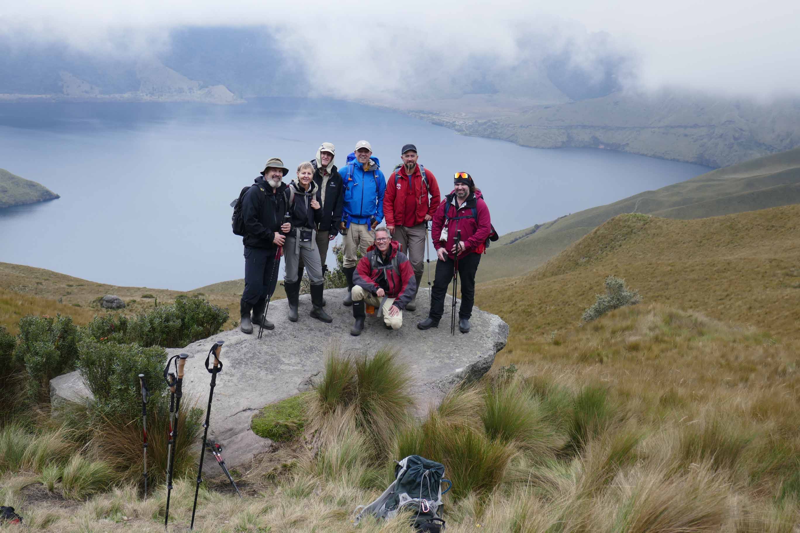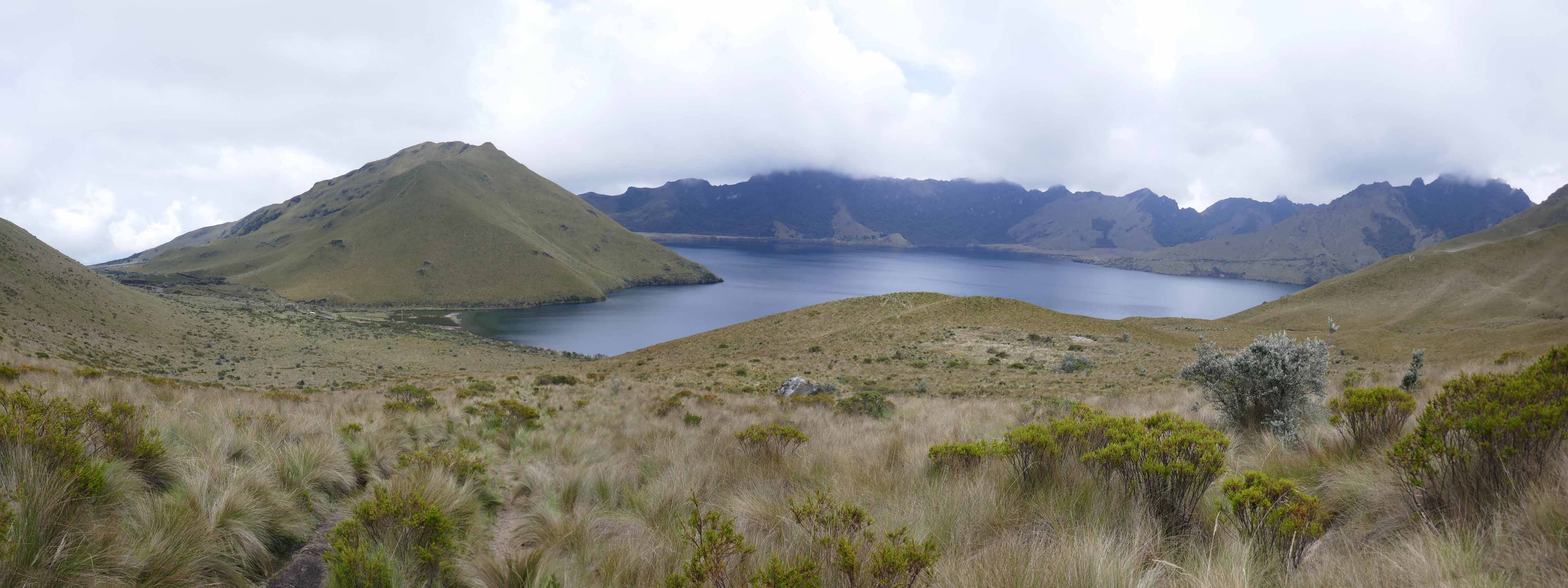


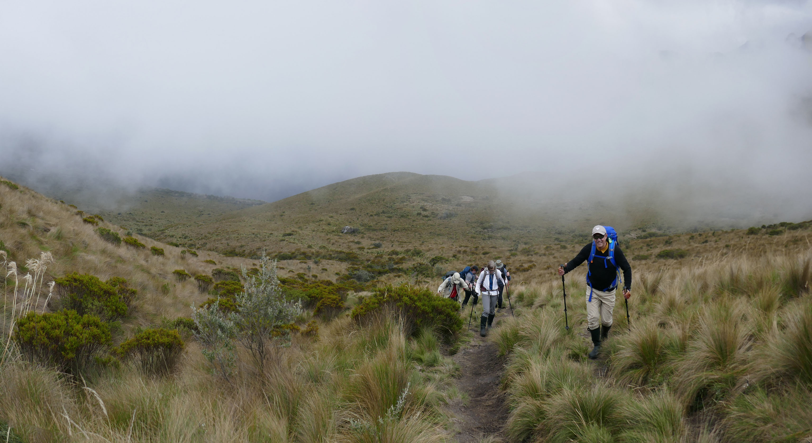
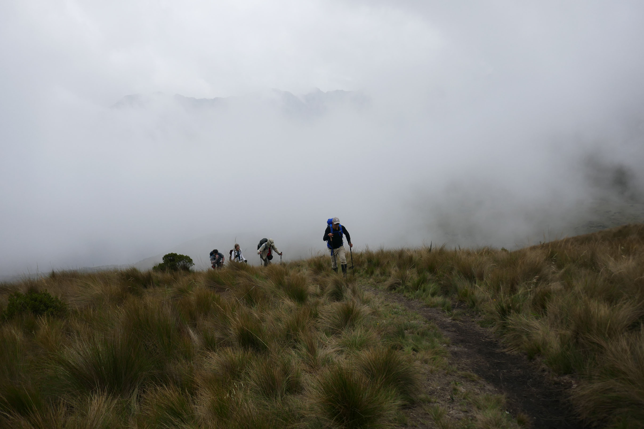
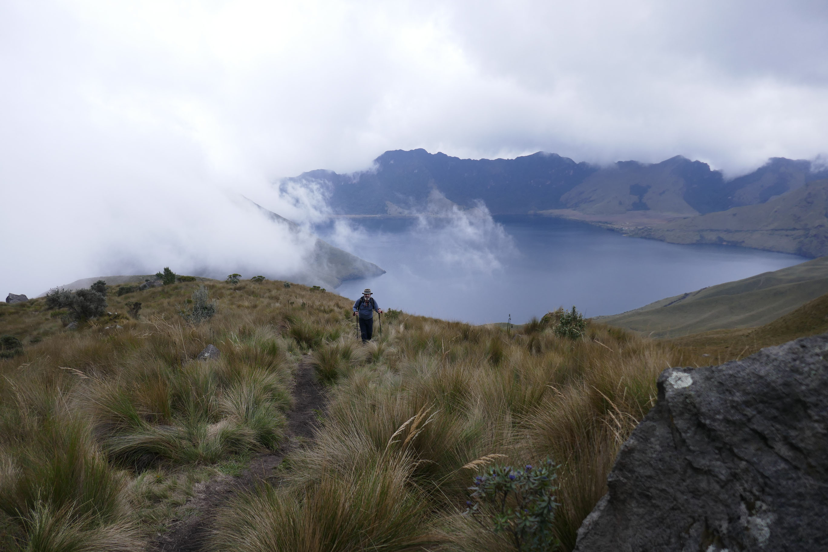
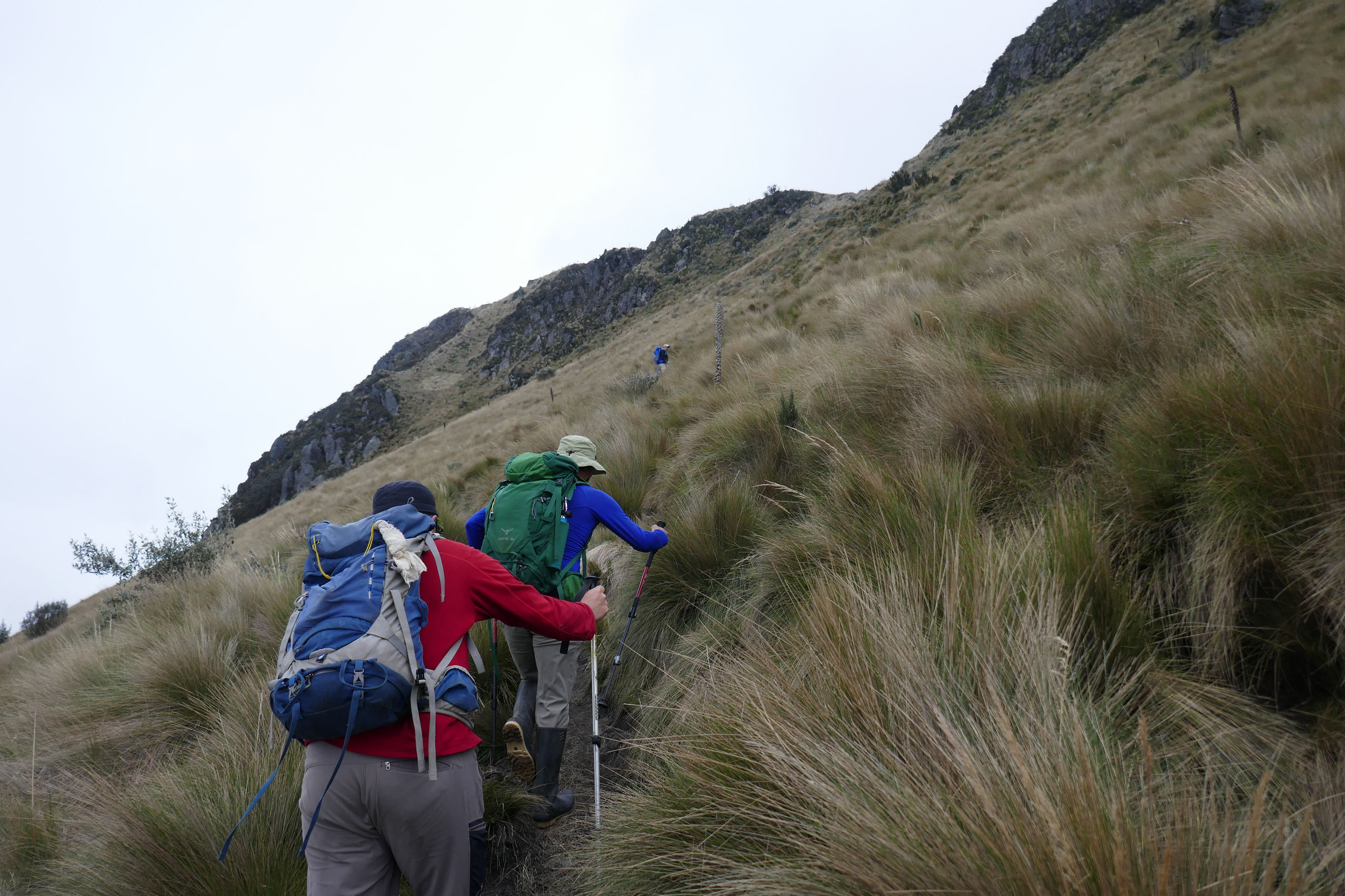
Fuya Fuya (4263m)
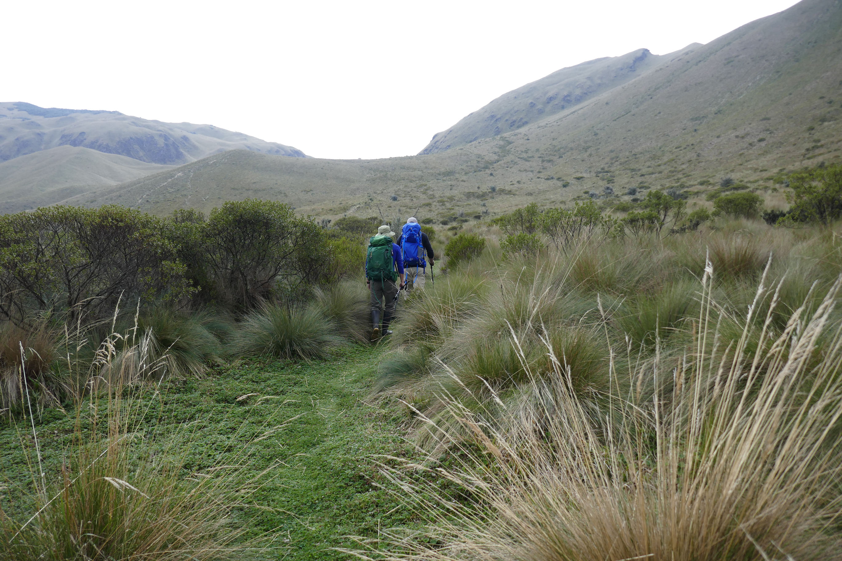
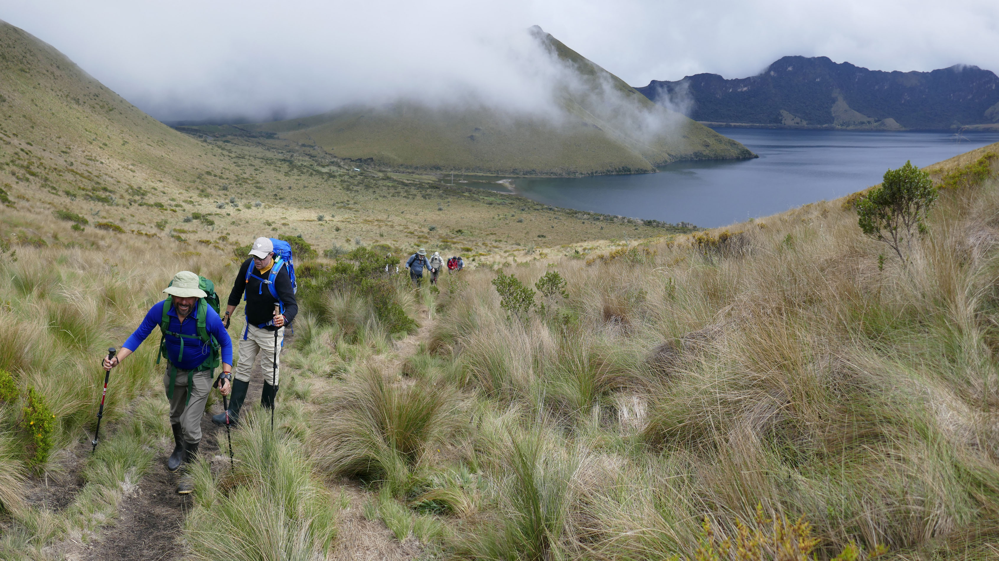
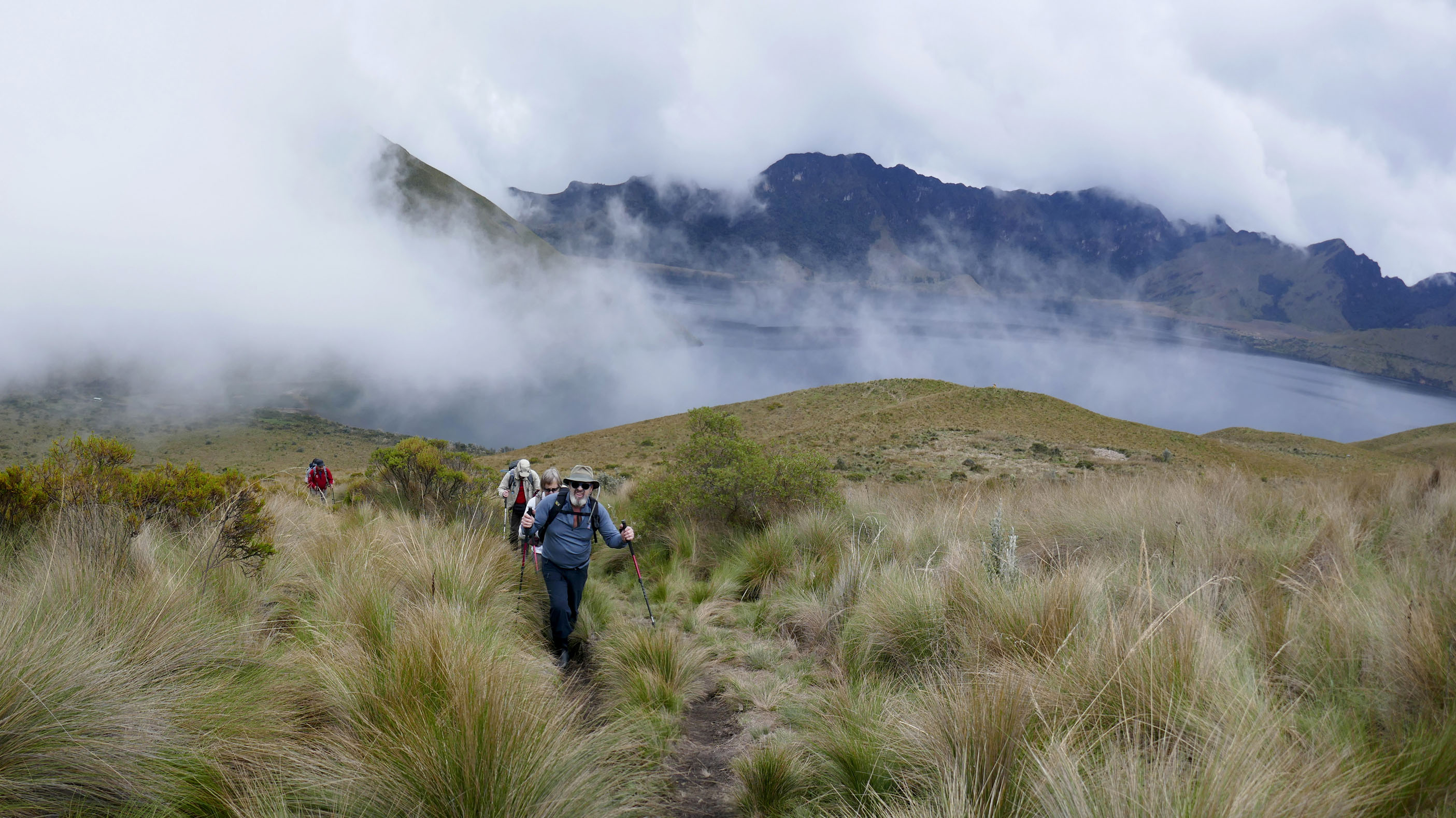
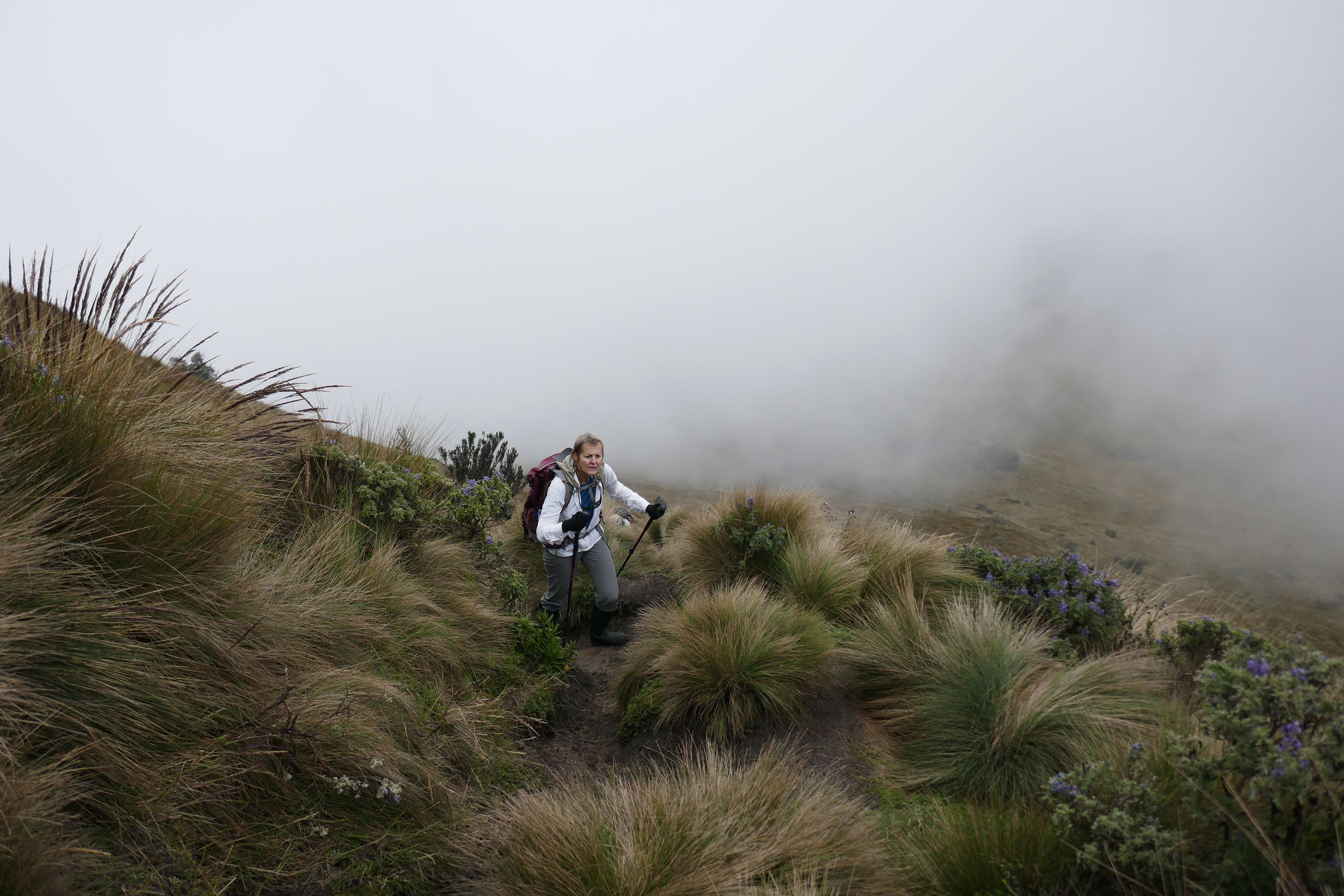
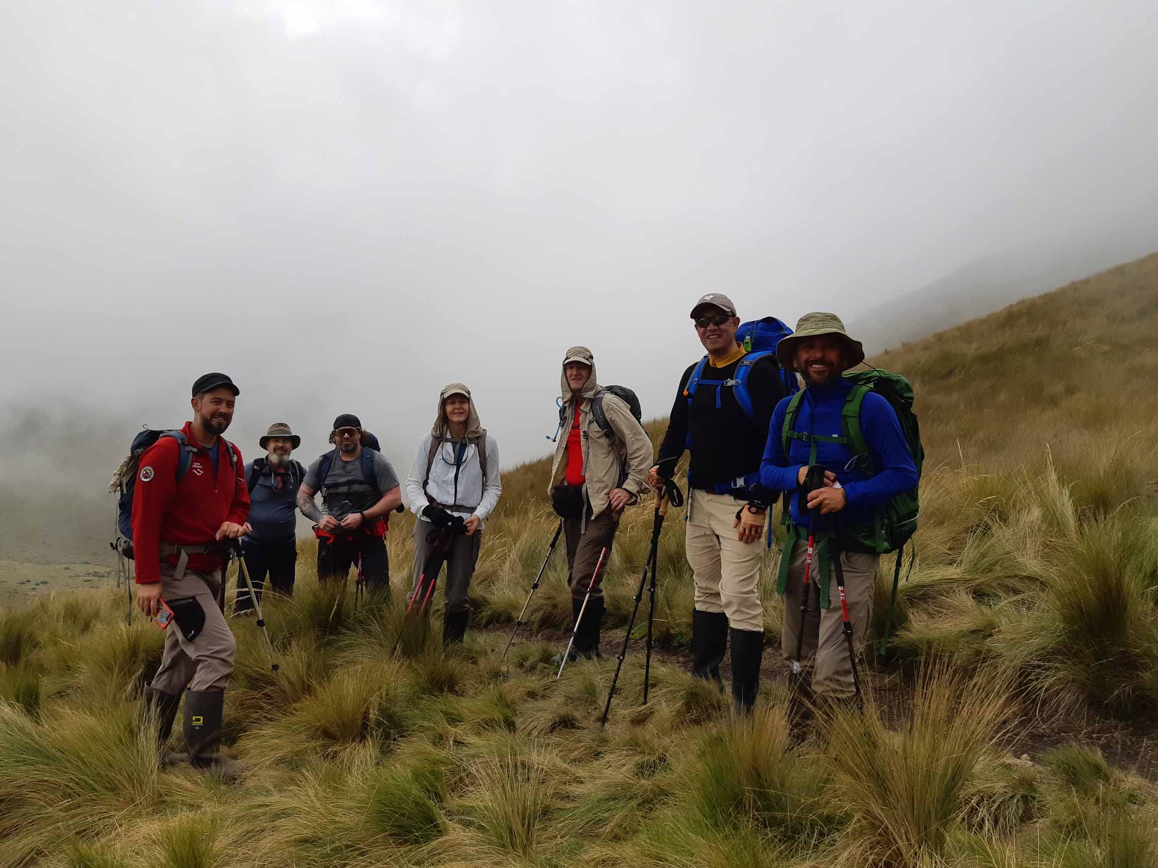
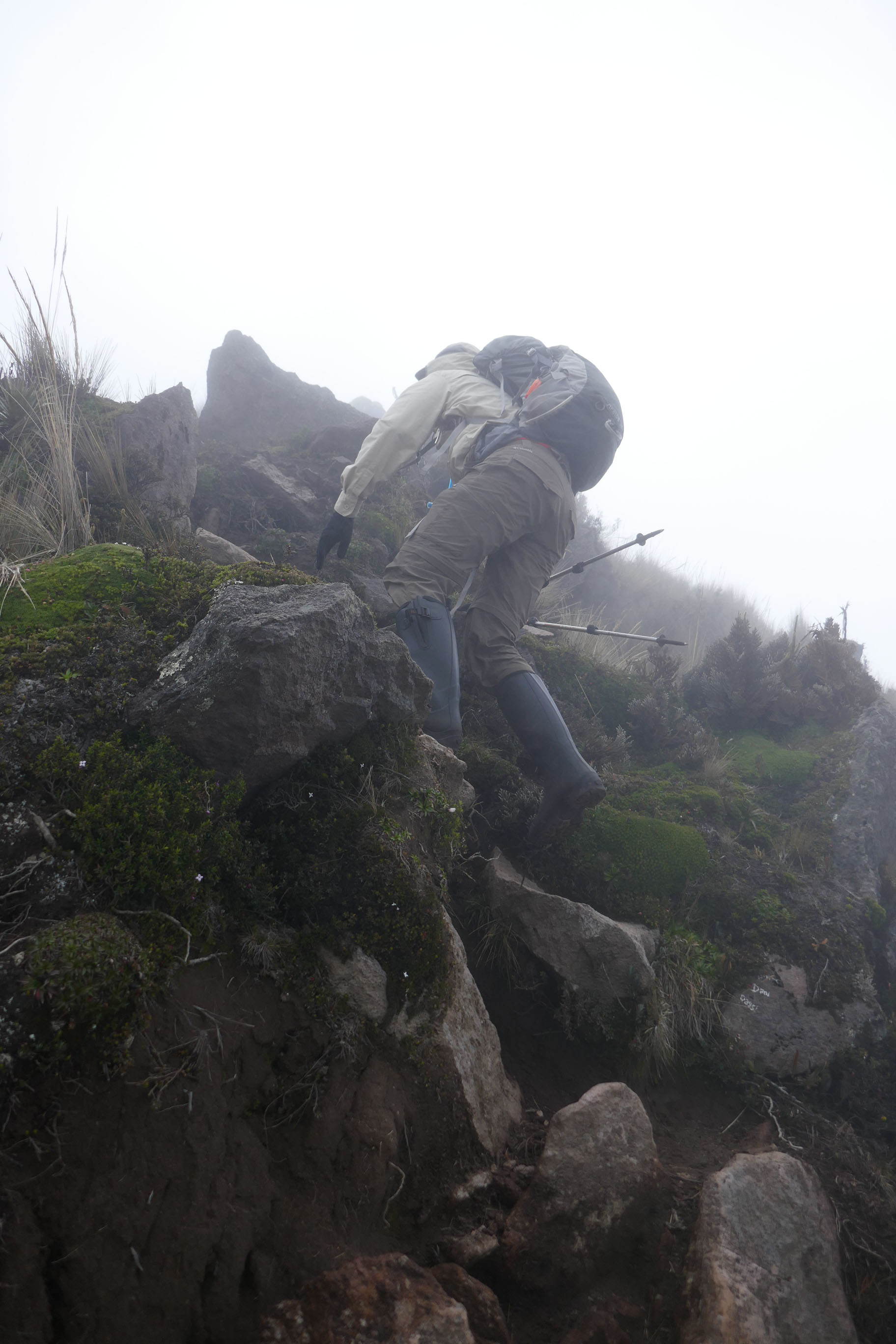
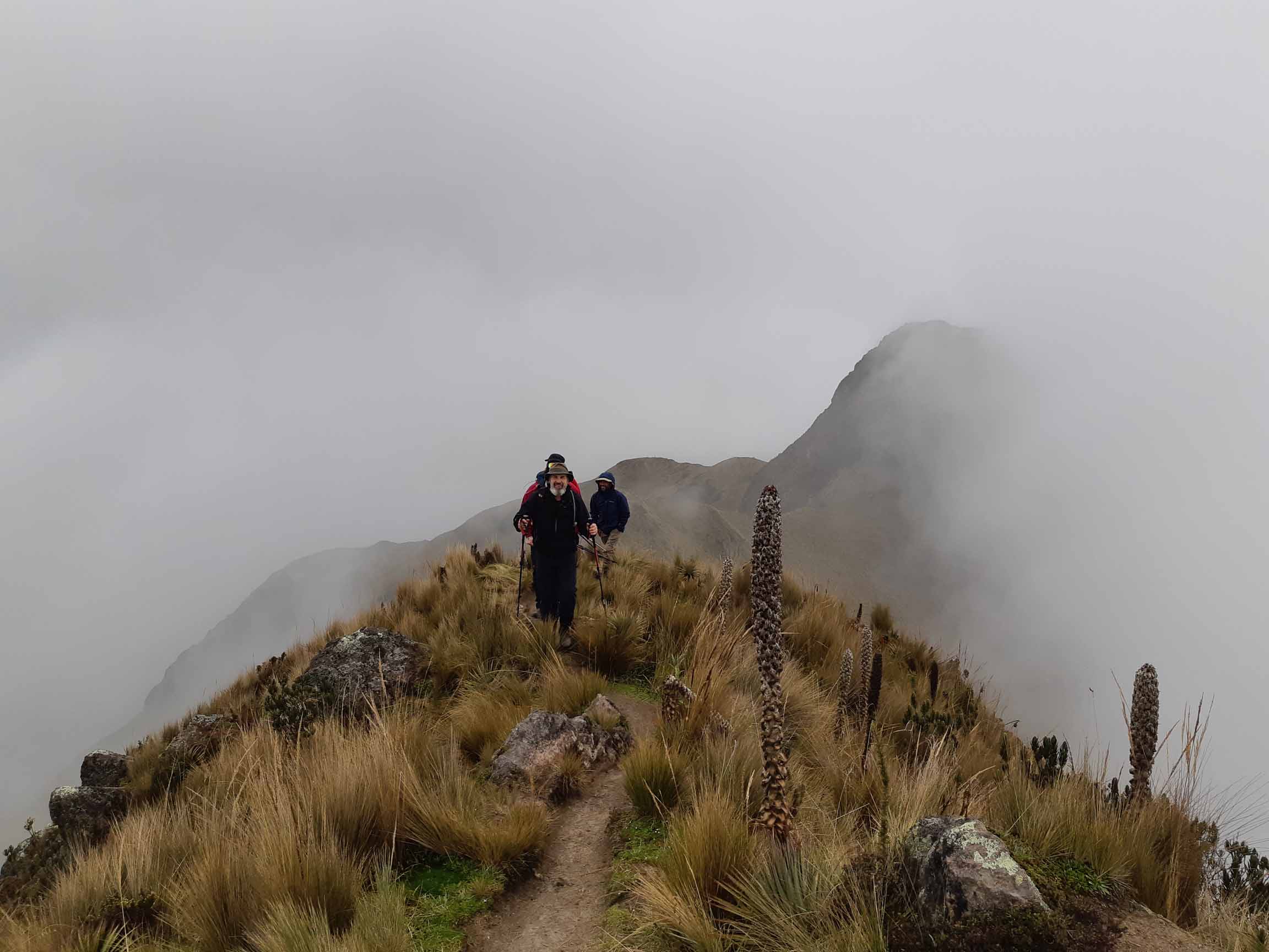
Nouvelle journée d’acclimatation. Nous nous rendons à la Laguna Mojanda à 1h30 de route d’Otavalo, pour grimper le Fuya Fuya, le point le plus élevé de l’ancienne arrête d’un très vieux volcan. Encore pas mal de nuages, une journée parfaite pour s’habituer à marcher en bottes de pluie, un ‘must’ pour la rando en Équateur.
Durée: 5h, D+: 500m
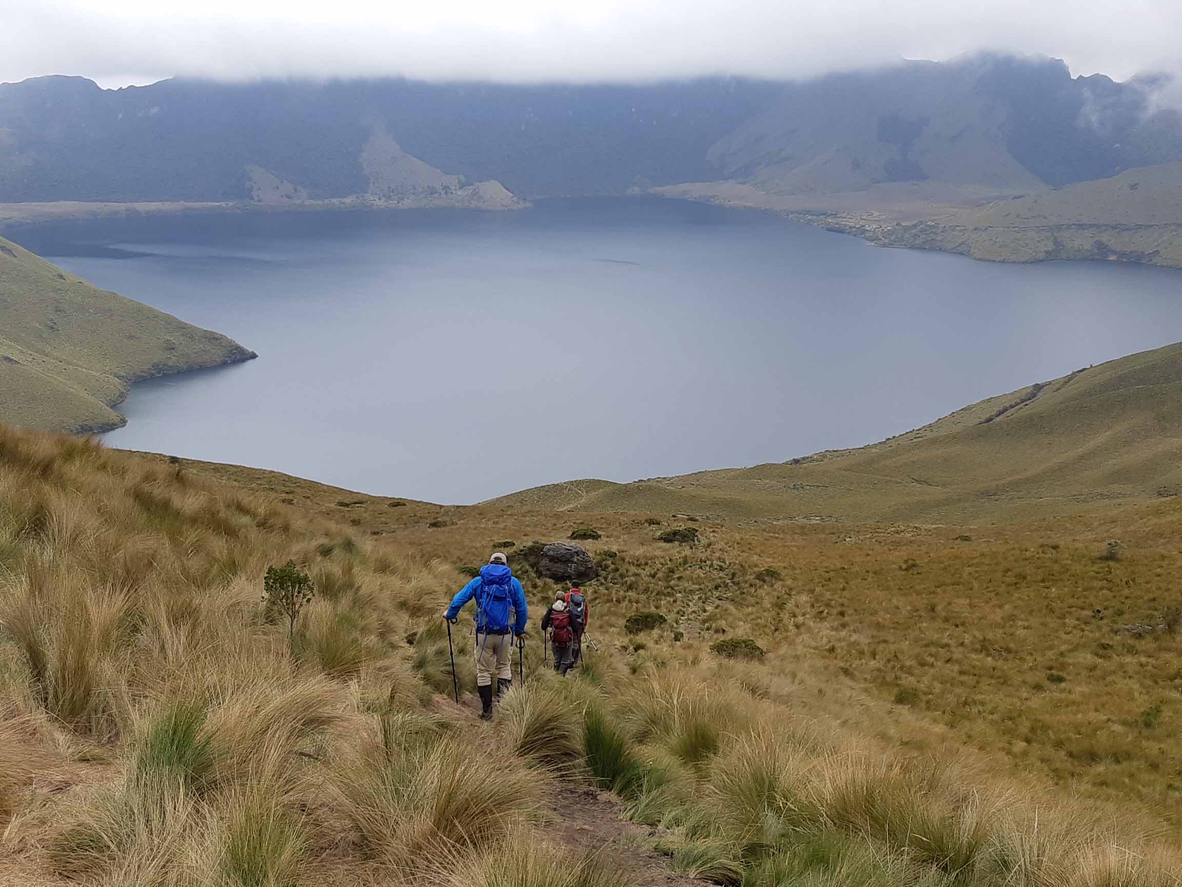
, notre point de départ aujourd'hui")
")


")