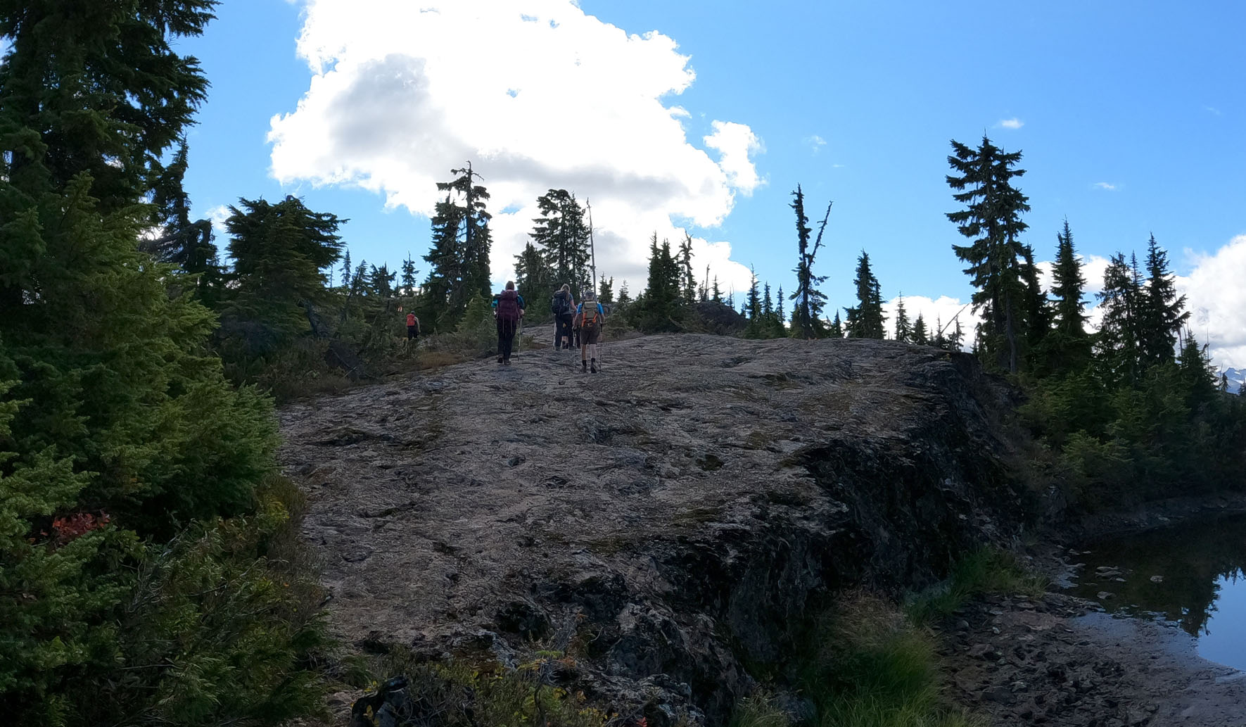
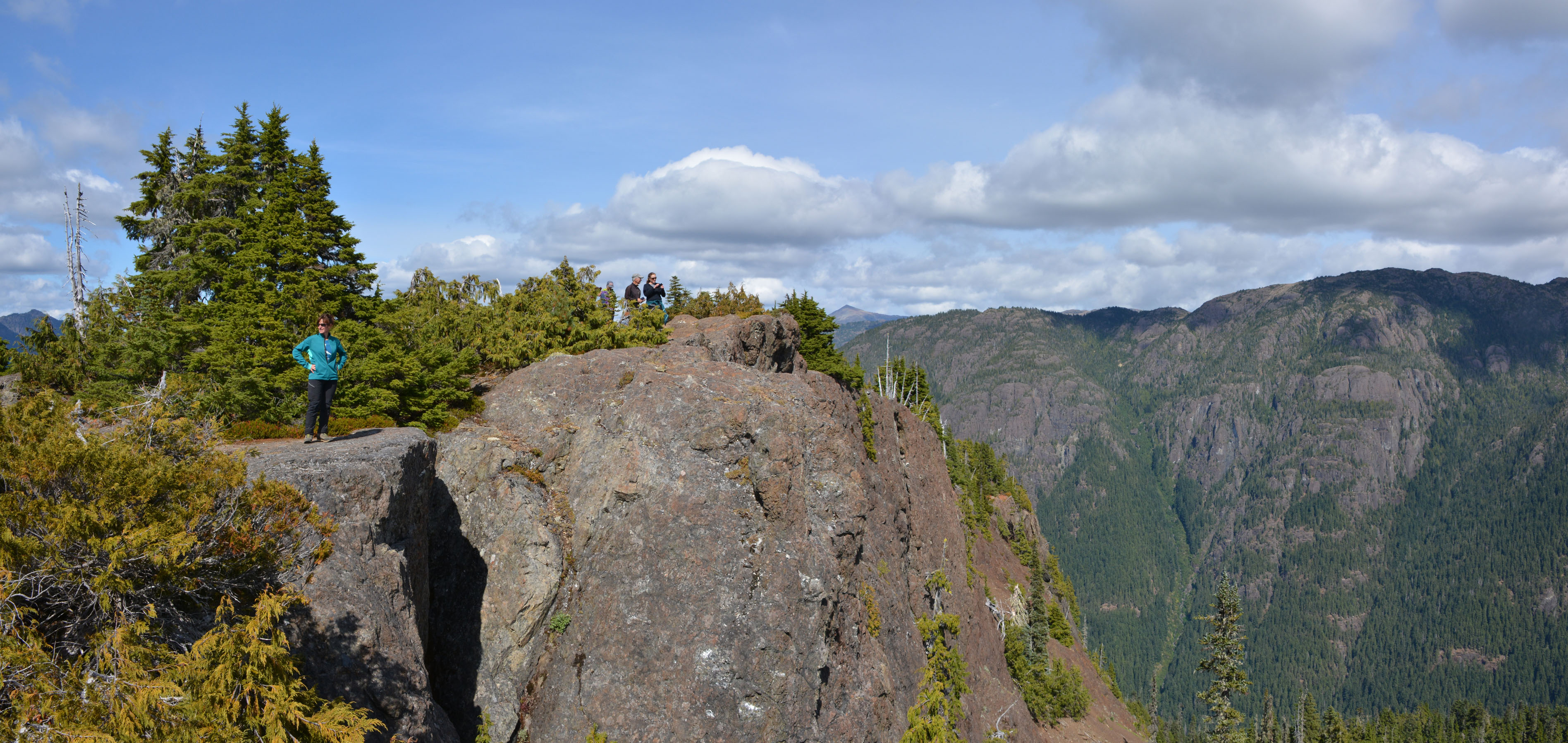
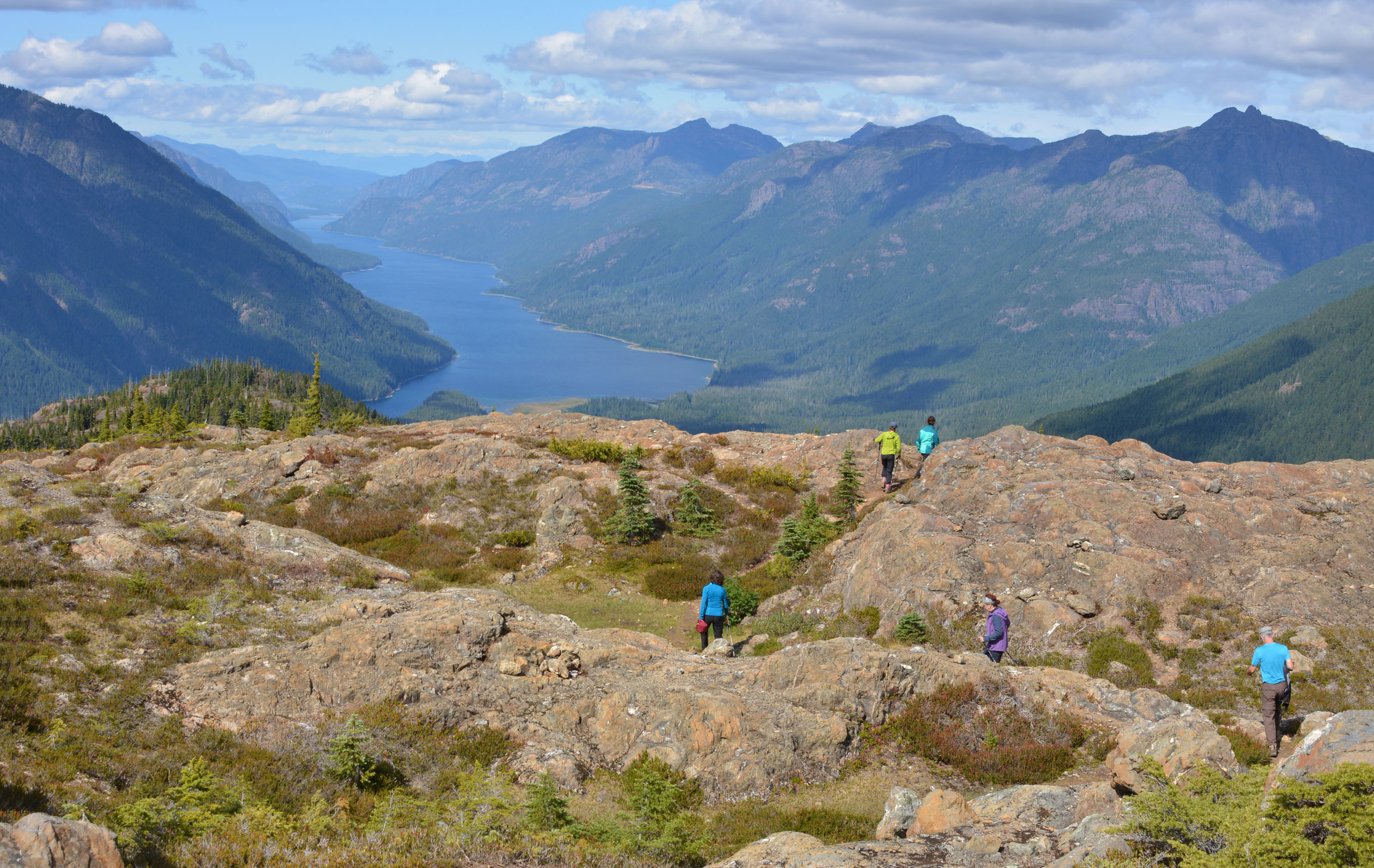
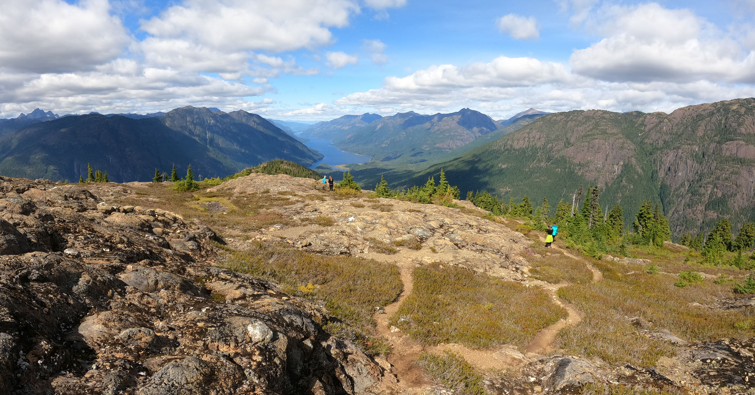
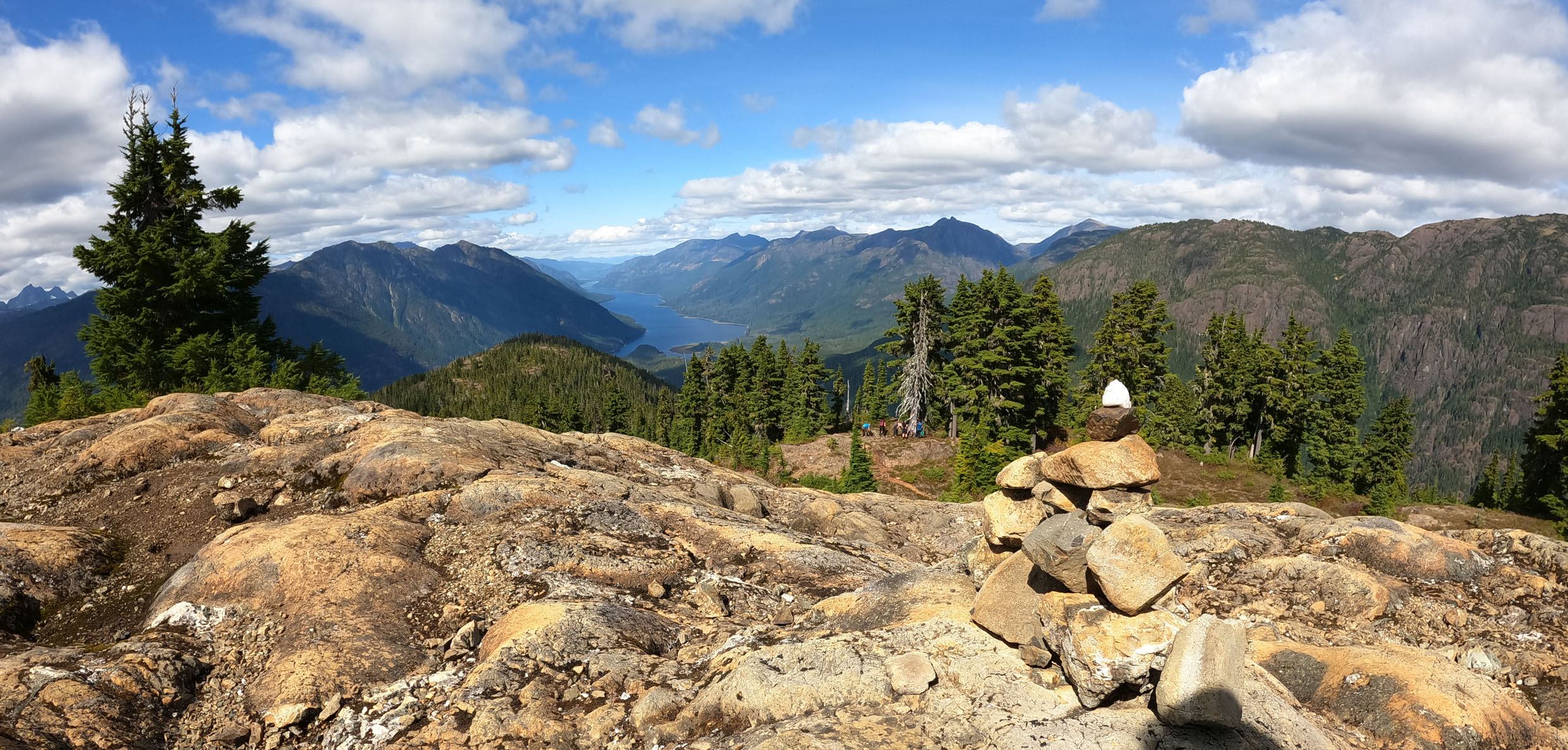
Flower Ridge Trail – Strathcona Park
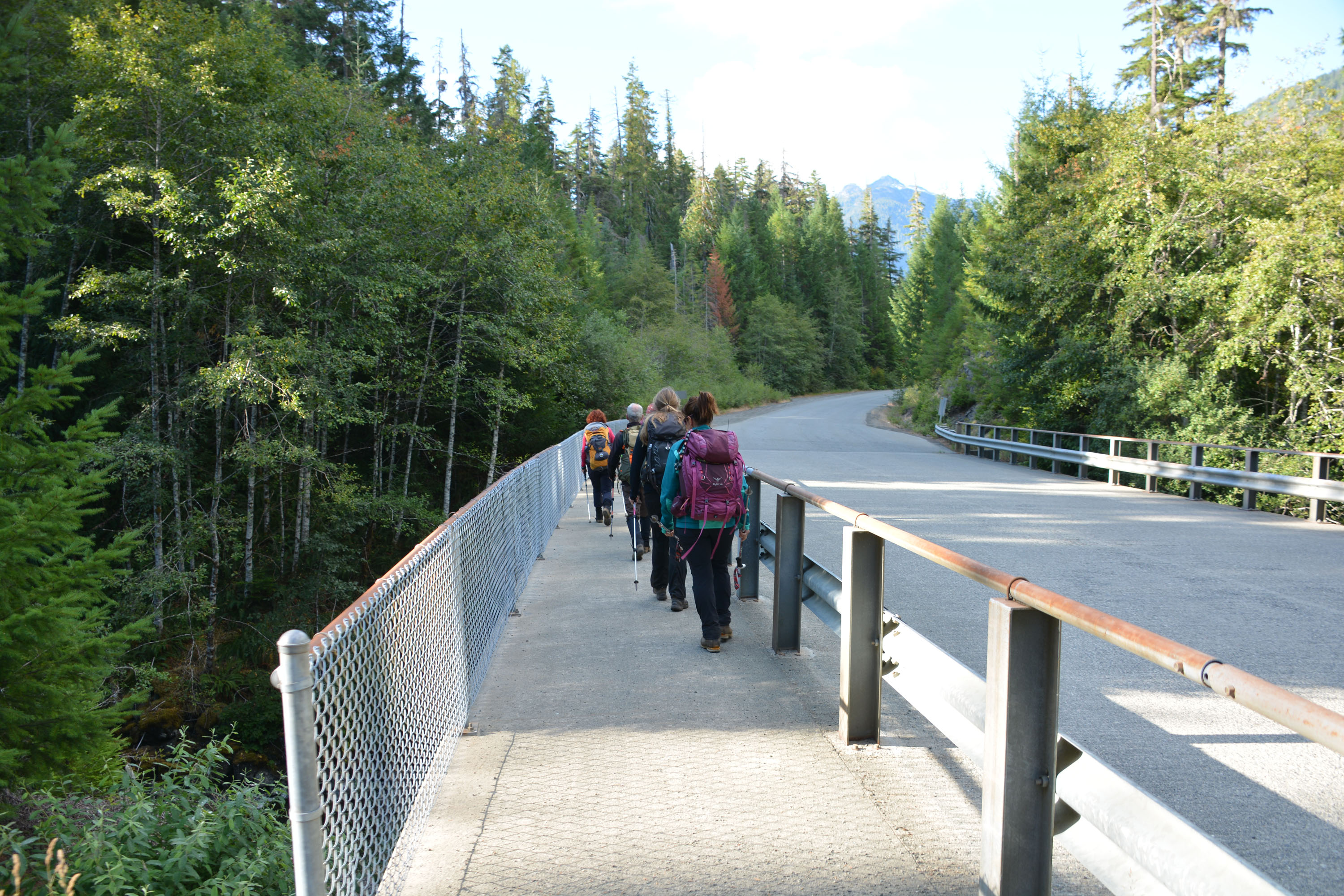
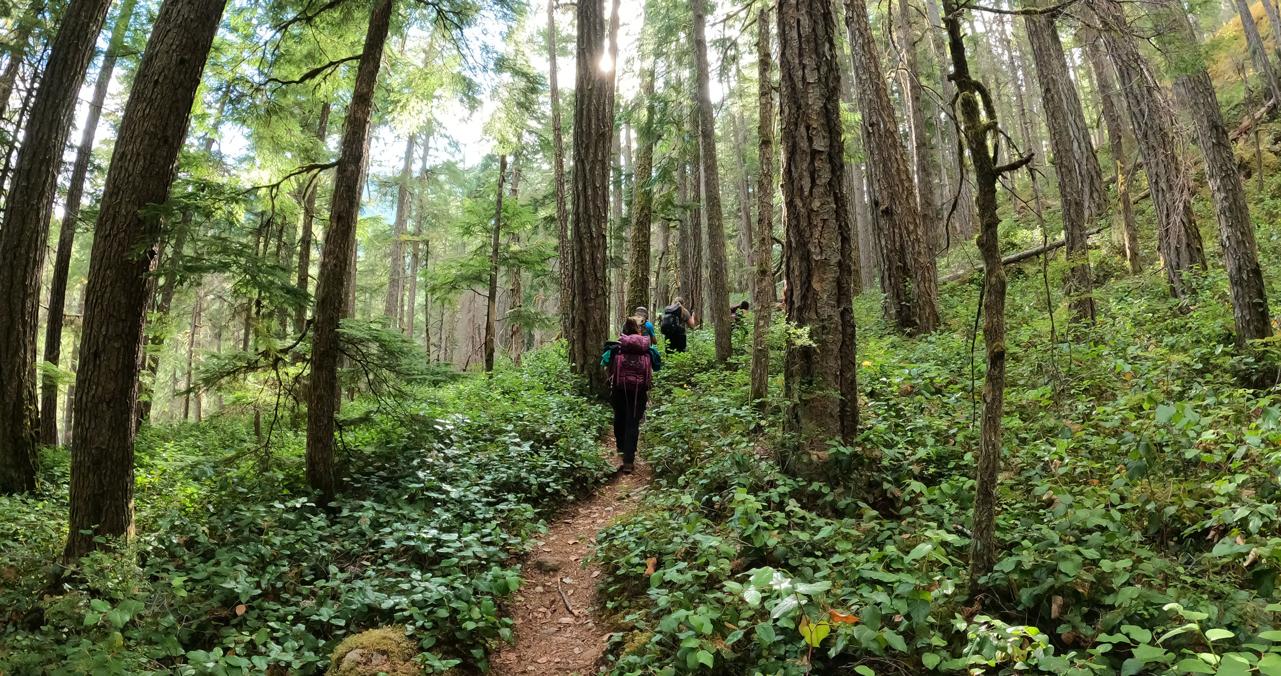
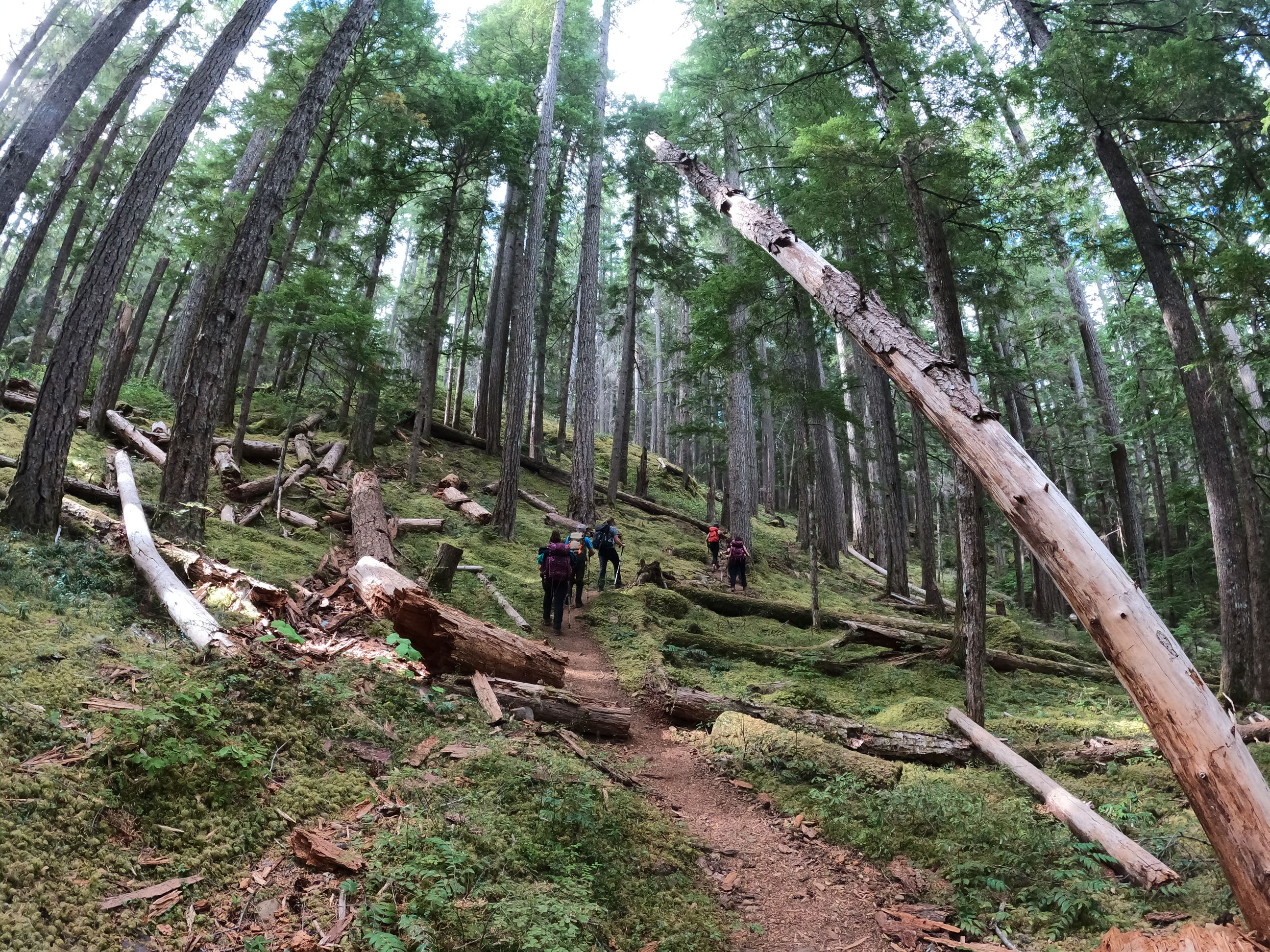
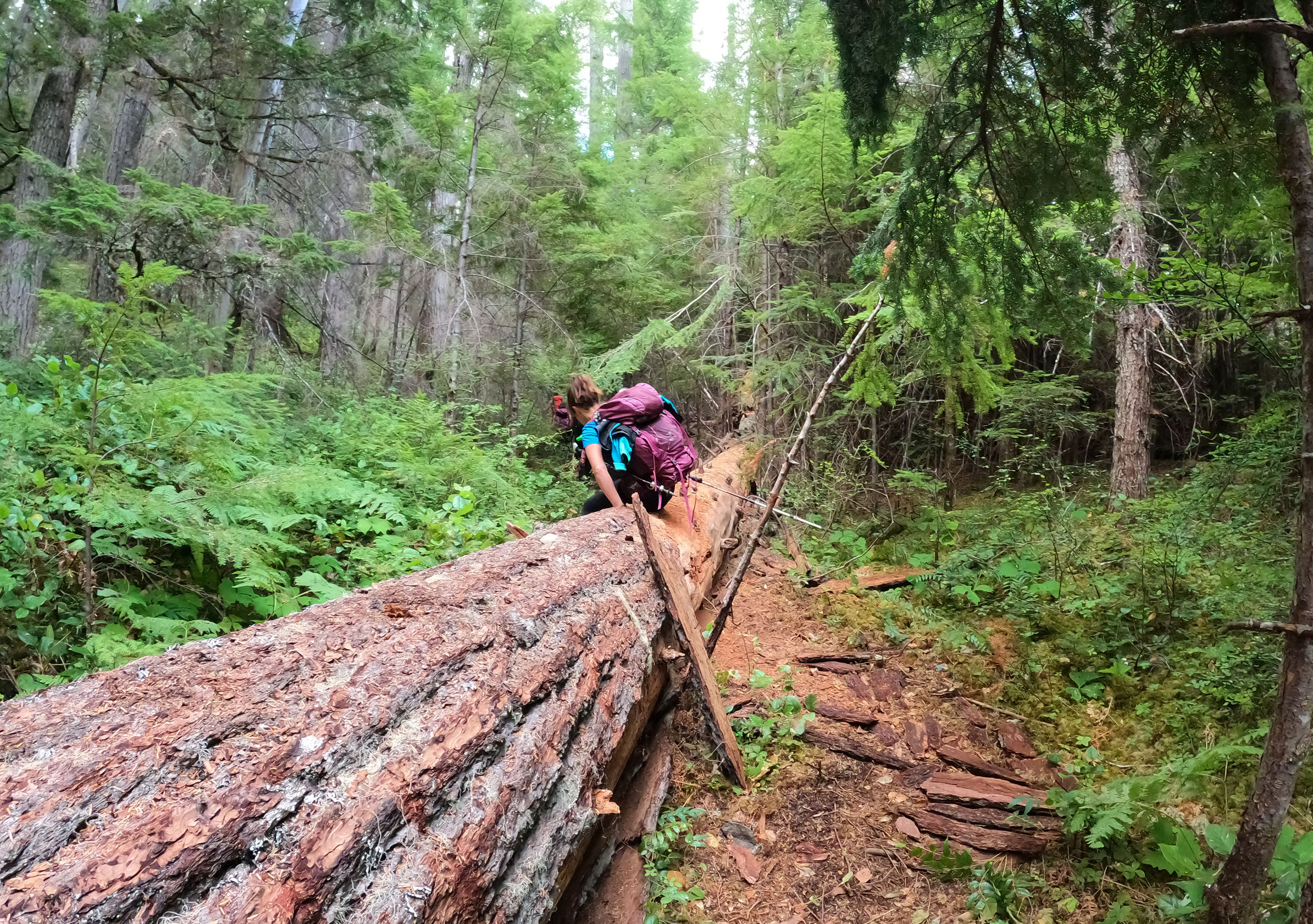
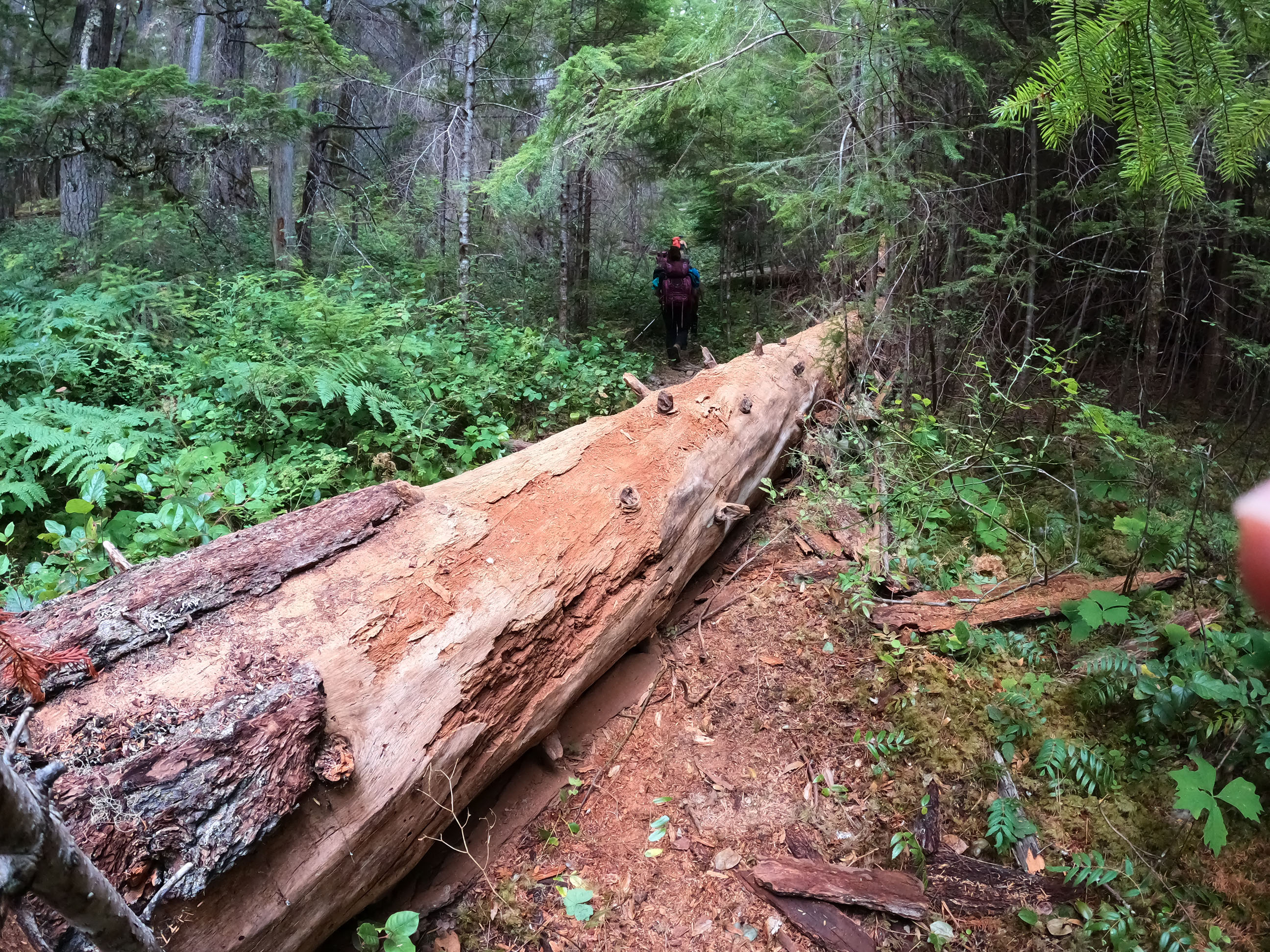
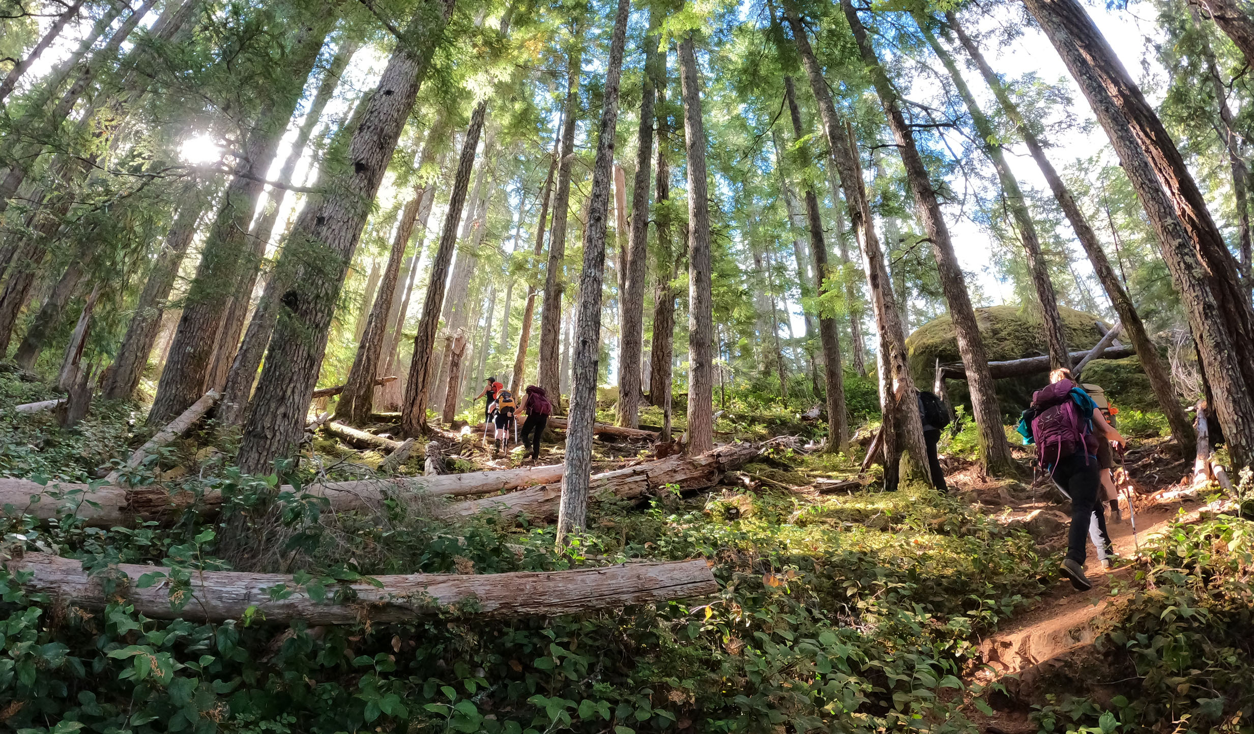
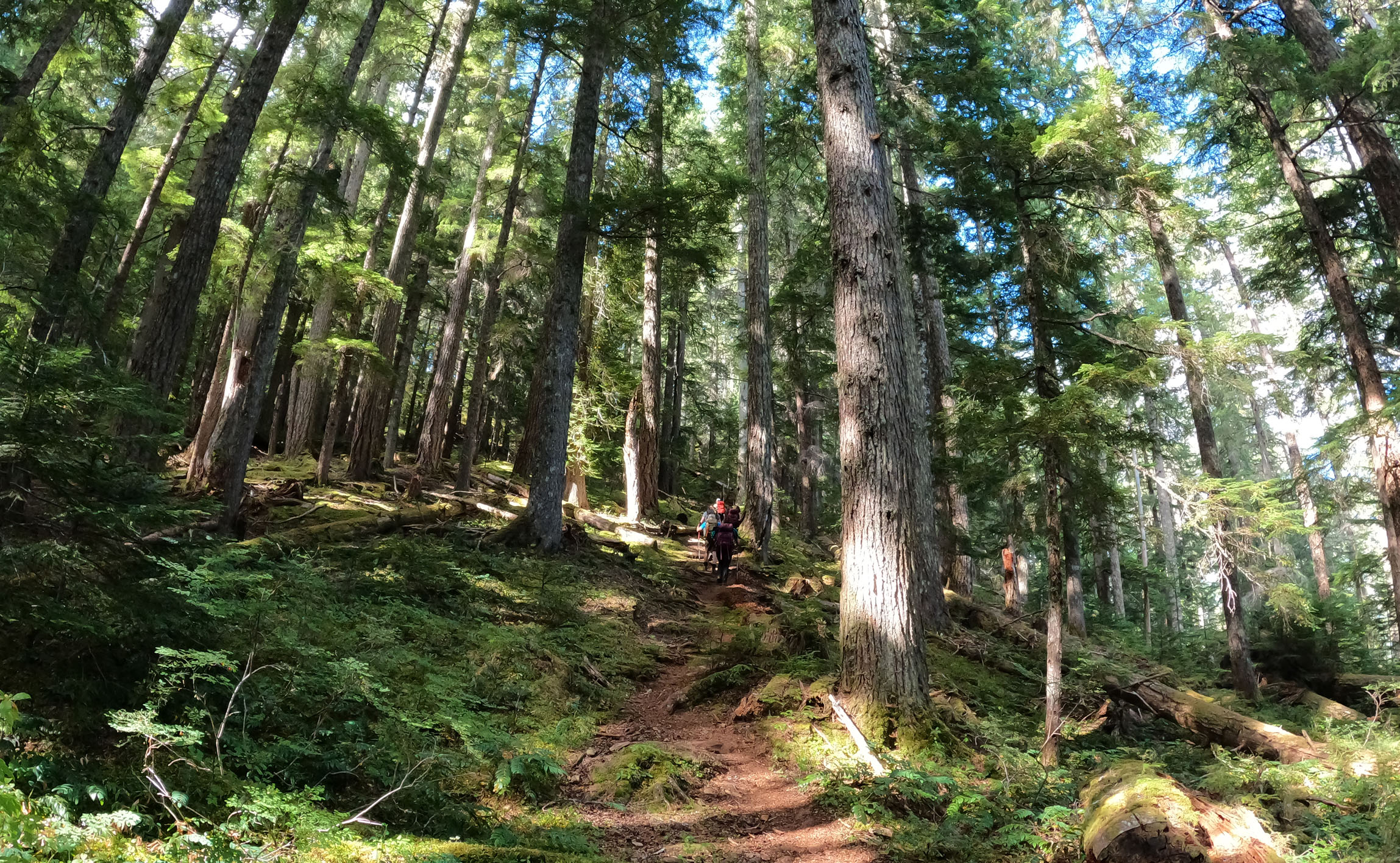
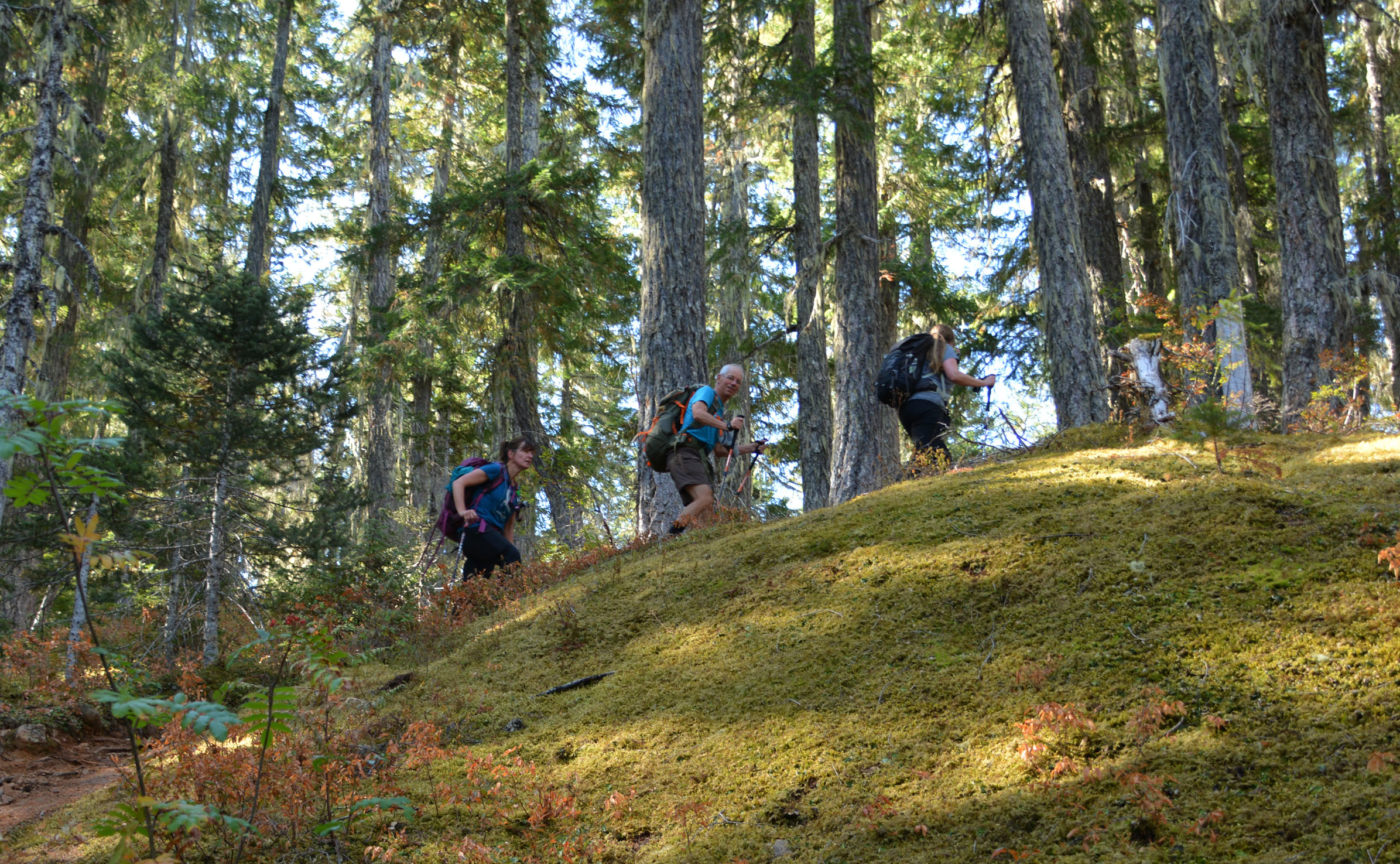
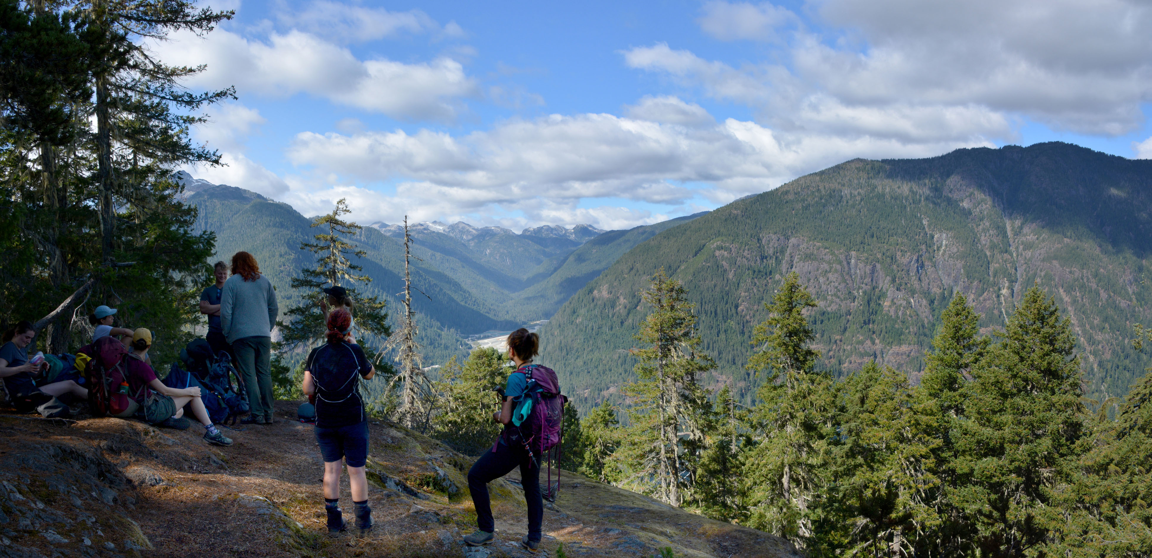
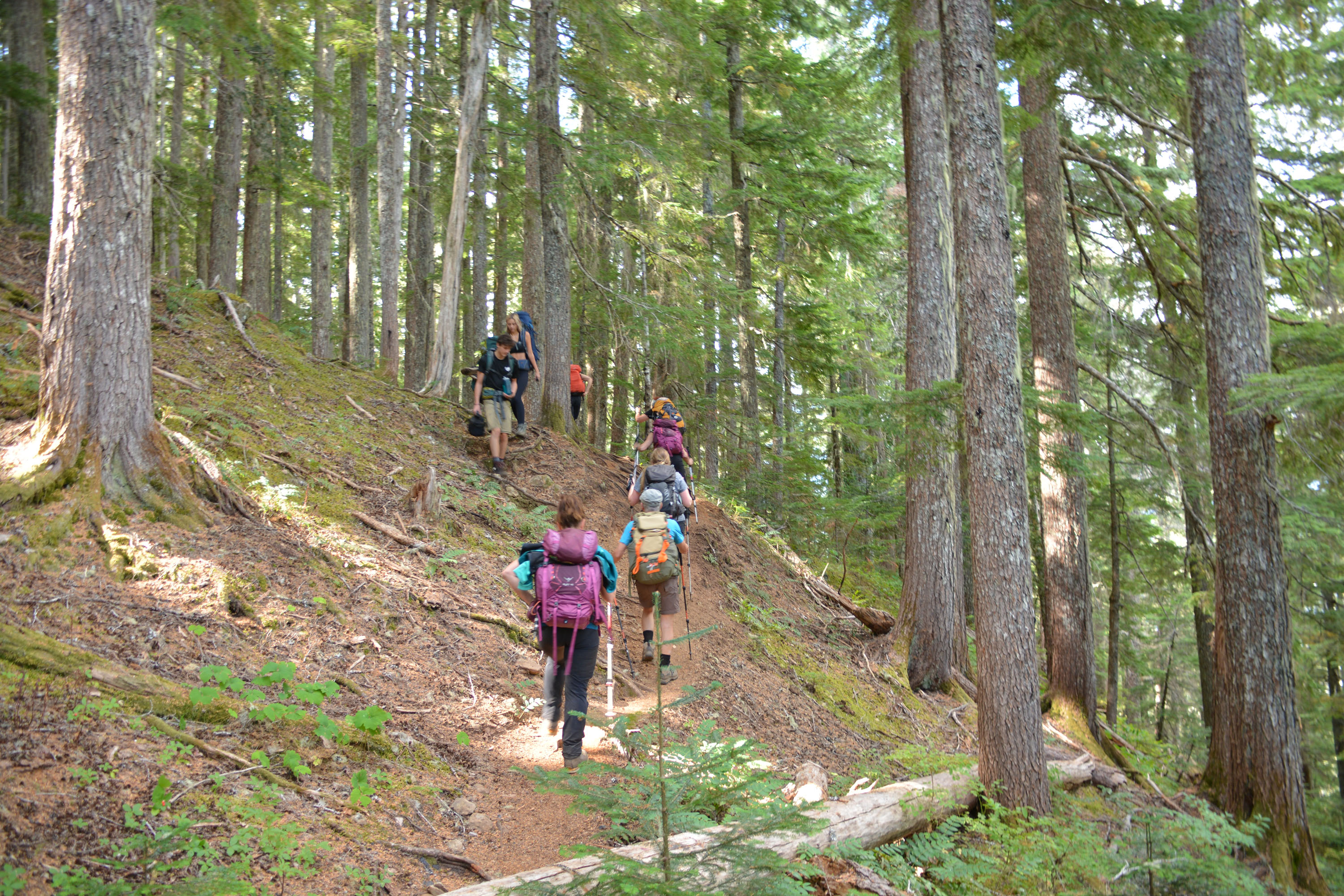
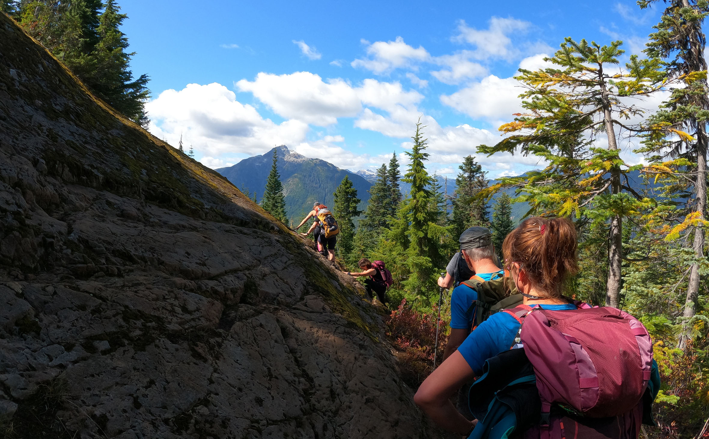
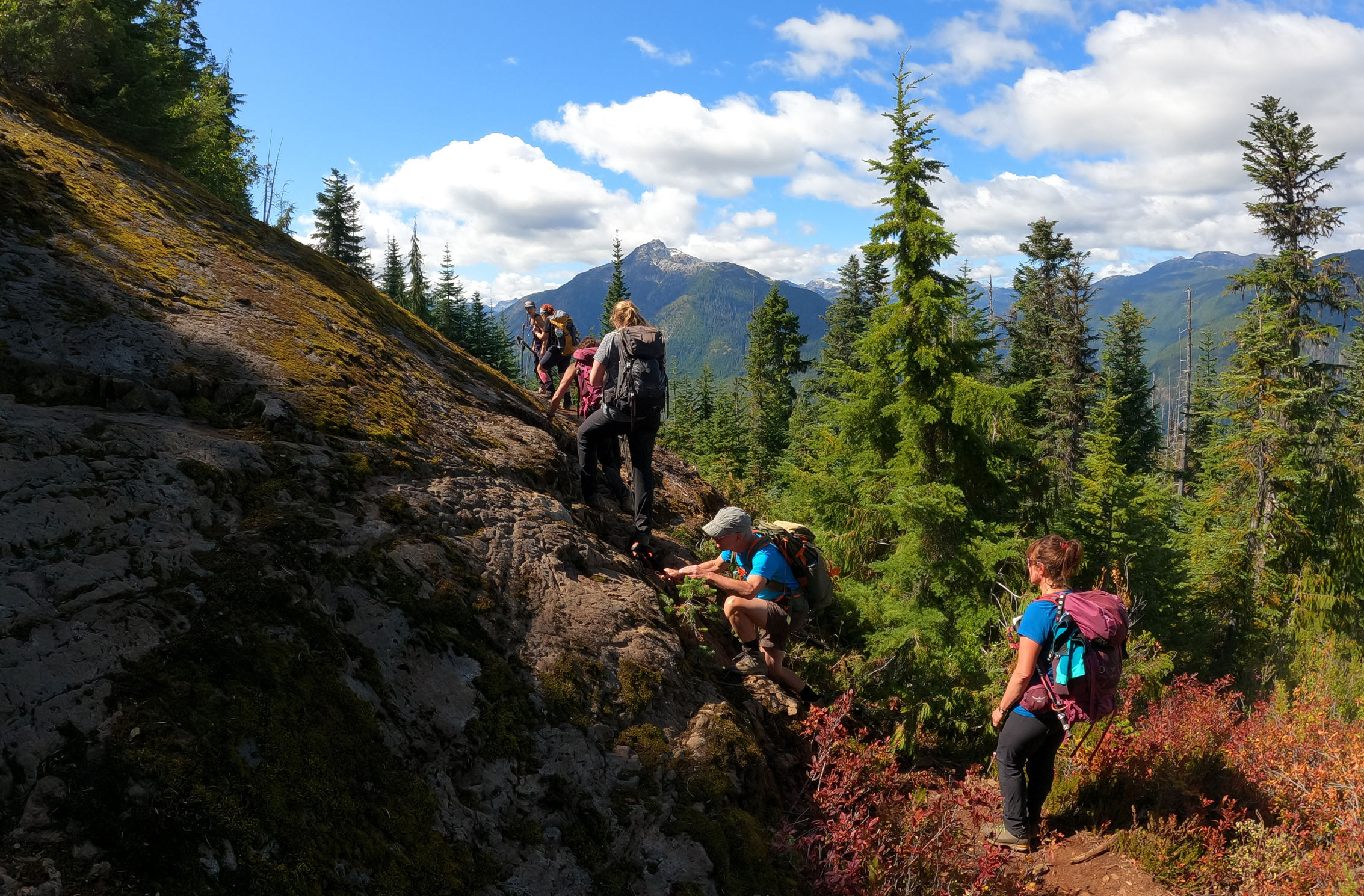
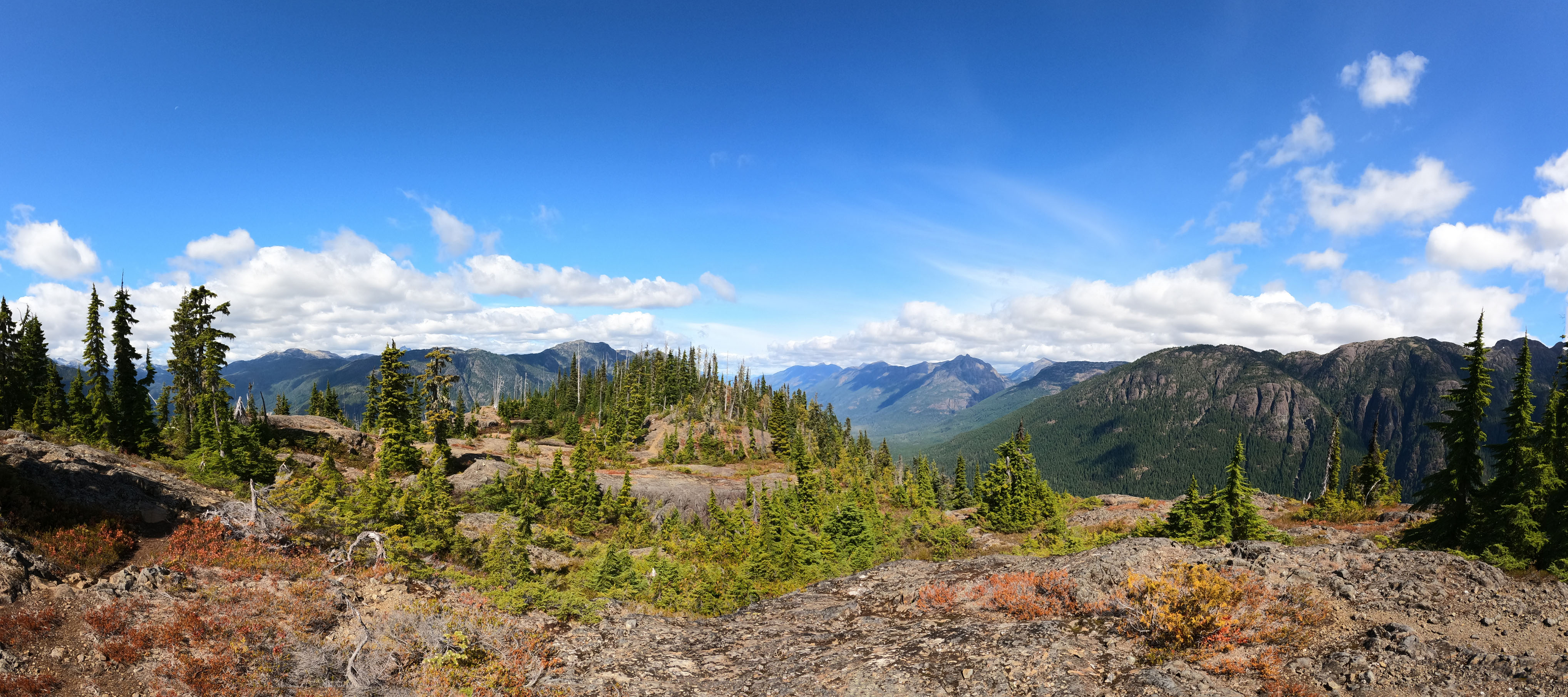
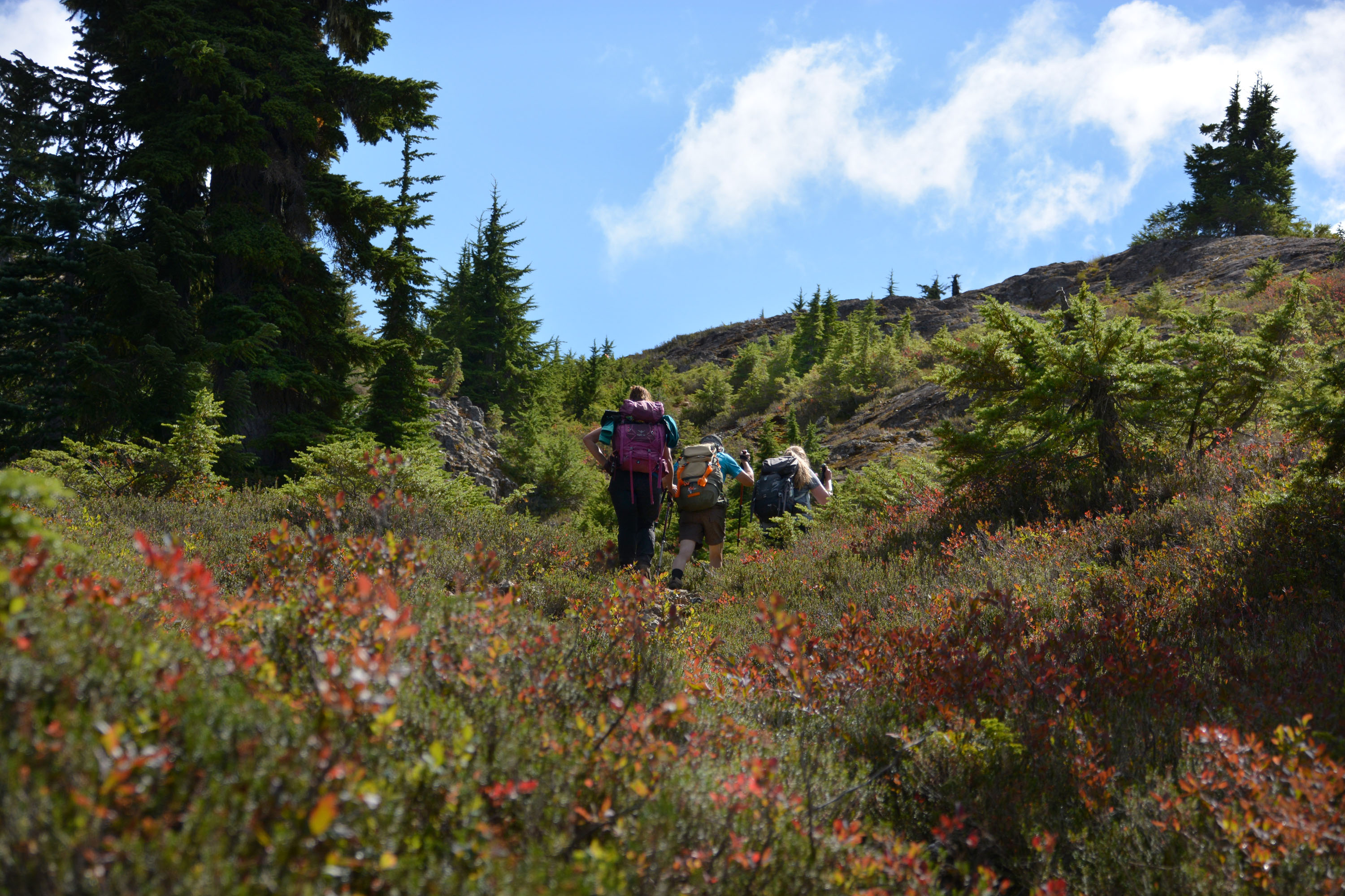
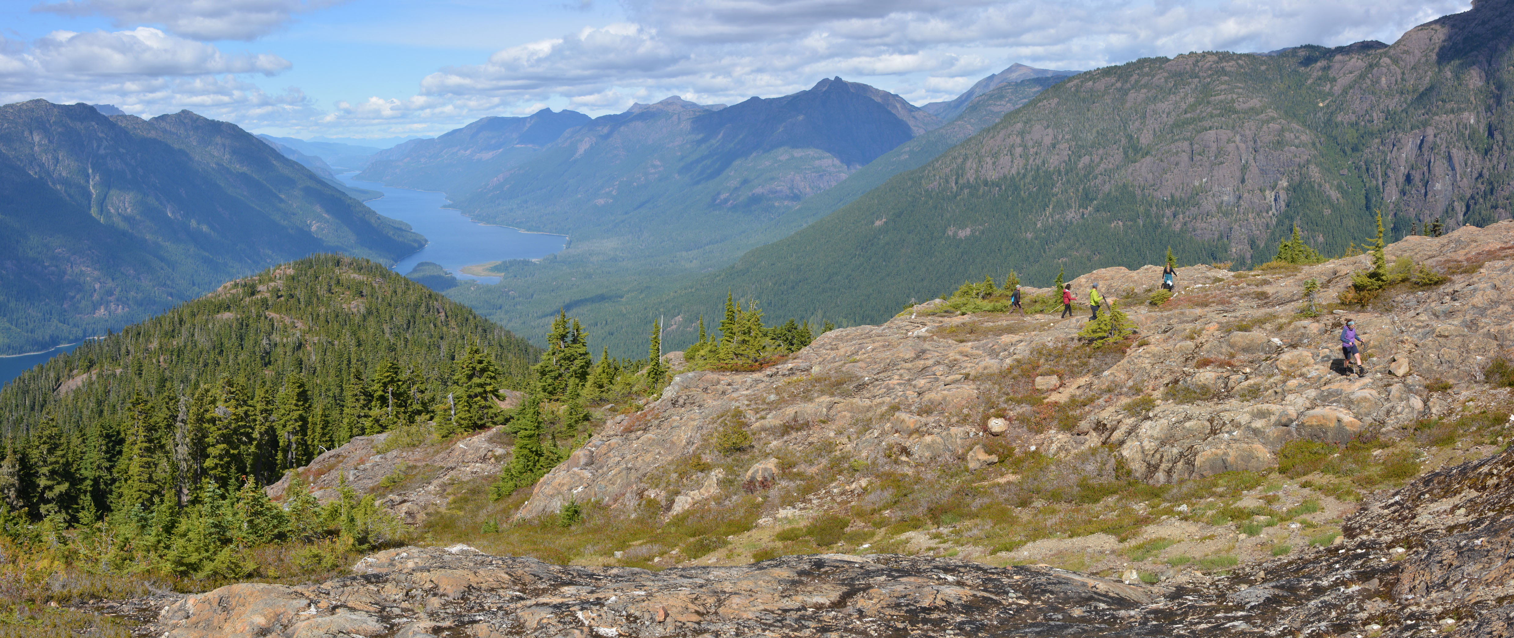
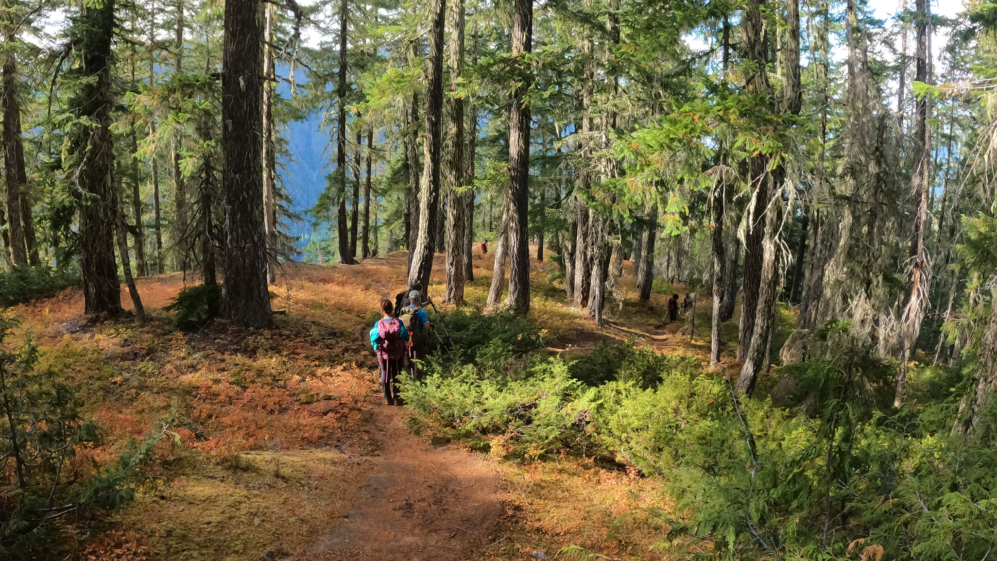
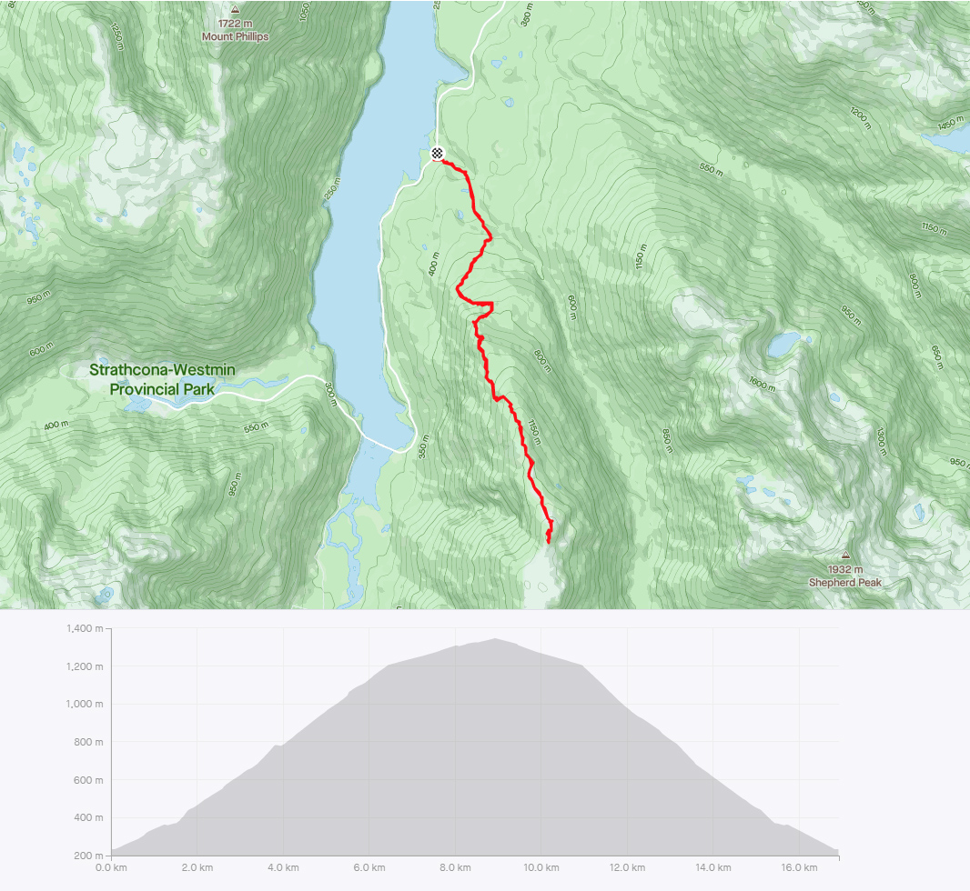
Deuxième randonnée dans le parc Strathcona. Cette fois, nous optons pour la ‘Flower Ridge Trail’. Un peu comme hier, il s’agit d’un aller-retour avec un bon dénivelé. Du sommet de la large crête, on peut voir les montagnes environnantes, mais surtout le lac Buttle qui est au coeur du parc.
Distance: 17km, Durée: 8h15 (7h en mouvement), D+: 1127m
![](http://www.memoirevisuelle.com/docs/photos/2021_cote-ouest/20210831/th/20210831_092931__nikon_001.jpg)
![](http://www.memoirevisuelle.com/docs/photos/2021_cote-ouest/20210831/th/20210831_092940__nikon_002.jpg)
![](http://www.memoirevisuelle.com/docs/photos/2021_cote-ouest/20210831/th/20210831_095618__nikon_005.jpg)
![](http://www.memoirevisuelle.com/docs/photos/2021_cote-ouest/20210831/th/20210831_100409__gopro_001_c.jpg)
![](http://www.memoirevisuelle.com/docs/photos/2021_cote-ouest/20210831/th/20210831_100824__gopro_003_c.jpg)
![](http://www.memoirevisuelle.com/docs/photos/2021_cote-ouest/20210831/th/20210831_101829__gopro_005.jpg)
![](http://www.memoirevisuelle.com/docs/photos/2021_cote-ouest/20210831/th/20210831_102422__gopro_006.jpg)
![](http://www.memoirevisuelle.com/docs/photos/2021_cote-ouest/20210831/th/20210831_102428__gopro_007.jpg)
![](http://www.memoirevisuelle.com/docs/photos/2021_cote-ouest/20210831/th/20210831_103836__gopro_010_c.jpg)
![](http://www.memoirevisuelle.com/docs/photos/2021_cote-ouest/20210831/th/20210831_110116__gopro_012_c.jpg)
![](http://www.memoirevisuelle.com/docs/photos/2021_cote-ouest/20210831/th/20210831_110412__gopro_014_c.jpg)
![](http://www.memoirevisuelle.com/docs/photos/2021_cote-ouest/20210831/th/20210831_110951__nikon_010_c.jpg)
![](http://www.memoirevisuelle.com/docs/photos/2021_cote-ouest/20210831/th/20210831_111531__nikon_014_015.jpg)
![](http://www.memoirevisuelle.com/docs/photos/2021_cote-ouest/20210831/th/20210831_113900__nikon_016.jpg)
![](http://www.memoirevisuelle.com/docs/photos/2021_cote-ouest/20210831/th/20210831_123222__gopro_017_c.jpg)
![](http://www.memoirevisuelle.com/docs/photos/2021_cote-ouest/20210831/th/20210831_123248__gopro_019_c.jpg)
![](http://www.memoirevisuelle.com/docs/photos/2021_cote-ouest/20210831/th/20210831_130255__gopro_021_cl.jpg)
![](http://www.memoirevisuelle.com/docs/photos/2021_cote-ouest/20210831/th/20210831_130513__gopro_022_023.jpg)
![](http://www.memoirevisuelle.com/docs/photos/2021_cote-ouest/20210831/th/20210831_130803__gopro_027.jpg)
![](http://www.memoirevisuelle.com/docs/photos/2021_cote-ouest/20210831/th/20210831_133533__nikon_035.jpg)
![](http://www.memoirevisuelle.com/docs/photos/2021_cote-ouest/20210831/th/20210831_133531__nikon_034.jpg)
![](http://www.memoirevisuelle.com/docs/photos/2021_cote-ouest/20210831/th/20210831_133742__nikon_037.jpg)
![](http://www.memoirevisuelle.com/docs/photos/2021_cote-ouest/20210831/th/20210831_135530__nikon_039_040.jpg)
![Vue sur Buttle Lake.](http://www.memoirevisuelle.com/docs/photos/2021_cote-ouest/20210831/th/20210831_141934__nikon_044_045_l.jpg)
![](http://www.memoirevisuelle.com/docs/photos/2021_cote-ouest/20210831/th/20210831_142616__nikon_056_058.jpg)
![](http://www.memoirevisuelle.com/docs/photos/2021_cote-ouest/20210831/th/20210831_142812__nikon_065.jpg)
![](http://www.memoirevisuelle.com/docs/photos/2021_cote-ouest/20210831/th/20210831_143104__nikon_077_078.jpg)
![La crête se poursuit sur plusieurs kilomètres.](http://www.memoirevisuelle.com/docs/photos/2021_cote-ouest/20210831/th/20210831_143723__nikon_084_085.jpg)
![On redescend.](http://www.memoirevisuelle.com/docs/photos/2021_cote-ouest/20210831/th/20210831_144241__nikon_090.jpg)
![](http://www.memoirevisuelle.com/docs/photos/2021_cote-ouest/20210831/th/20210831_144326__nikon_092_093.jpg)
![](http://www.memoirevisuelle.com/docs/photos/2021_cote-ouest/20210831/th/20210831_144423__gopro_030_c.jpg)
![](http://www.memoirevisuelle.com/docs/photos/2021_cote-ouest/20210831/th/20210831_144940__gopro_033_c.jpg)
![](http://www.memoirevisuelle.com/docs/photos/2021_cote-ouest/20210831/th/20210831_162203__gopro_040_c.jpg)
![](http://www.memoirevisuelle.com/docs/photos/2021_cote-ouest/traces/th/20210831_strava.jpg)